The best mountain hikes in Süßwald
4.8
(37)
270
hikers
15
hikes
Mountaineering in Süßwald offers a diverse alpine landscape characterized by significant elevation changes, high mountain passes, and rugged terrain. The region features a mix of challenging ascents to prominent summits and scenic loops through valleys and past alpine huts. These routes often traverse exposed ridges and provide expansive views of the surrounding Tiroler Oberland.
Best mountaineering routes in Süßwald
- The most popular mountaineering route is Spinnscharte – Ascher Hütte loop from See, an 8.0 miles (12.8 km) trail that…
Last updated: July 7, 2026
15
hikers
12.9km
06:31
1,070m
1,070m
Hard mountaineering route. Very good fitness required. Sure-footedness, sturdy shoes and alpine experience required.
5.0
(1)
13
hikers
16.0km
07:20
1,180m
1,180m
Hard mountaineering route. Very good fitness required. Sure-footedness, sturdy shoes and alpine experience required.

Sign up for free
5.0
(1)
6
hikers
Hard mountaineering route. Very good fitness required. Easily-accessible paths. Suitable for all skill levels.
4
hikers
7.77km
02:51
430m
430m
Moderate mountaineering route. Good fitness required. Mostly accessible paths. Sure-footedness required.
5.0
(8)
42
hikers
11.4km
07:47
1,510m
1,510m
Hard mountaineering route. Very good fitness required. Sure-footedness, sturdy shoes and alpine experience required.
Get access to more routes and recommendations from other explorers.
Sign up for free
Already have an account?
Our route recommendations are based on thousands of hikes, rides, and runs completed by other people on komoot.
Start today with a free account
Your next adventure awaits.
Login or Signup
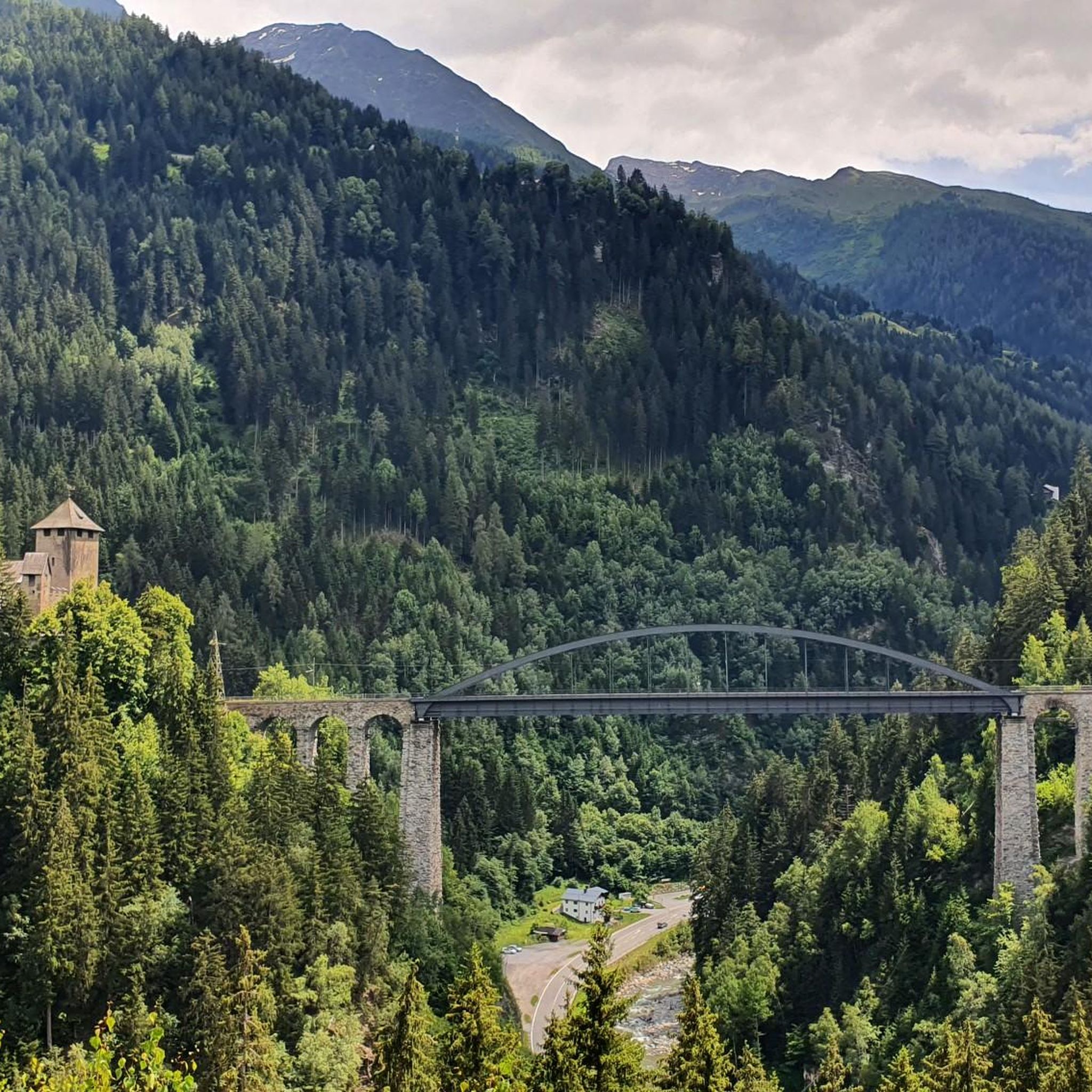
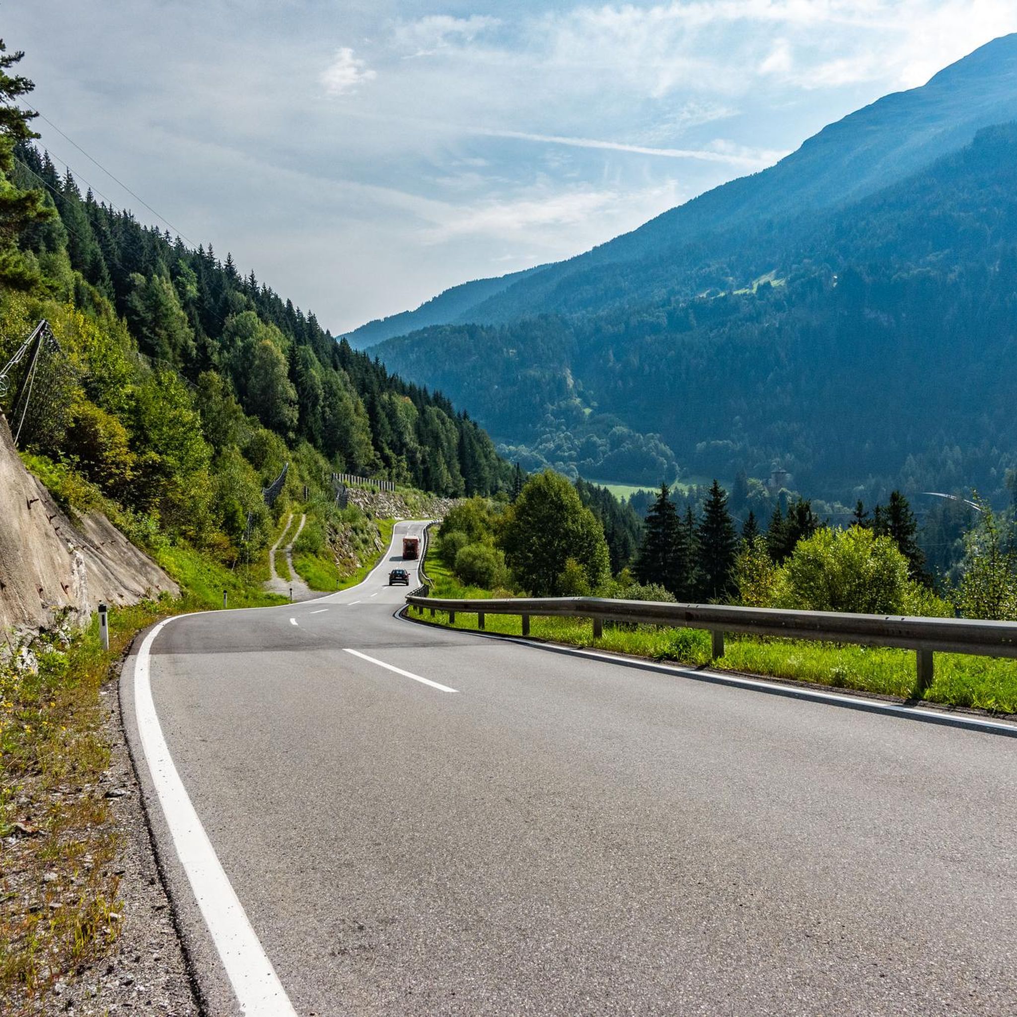
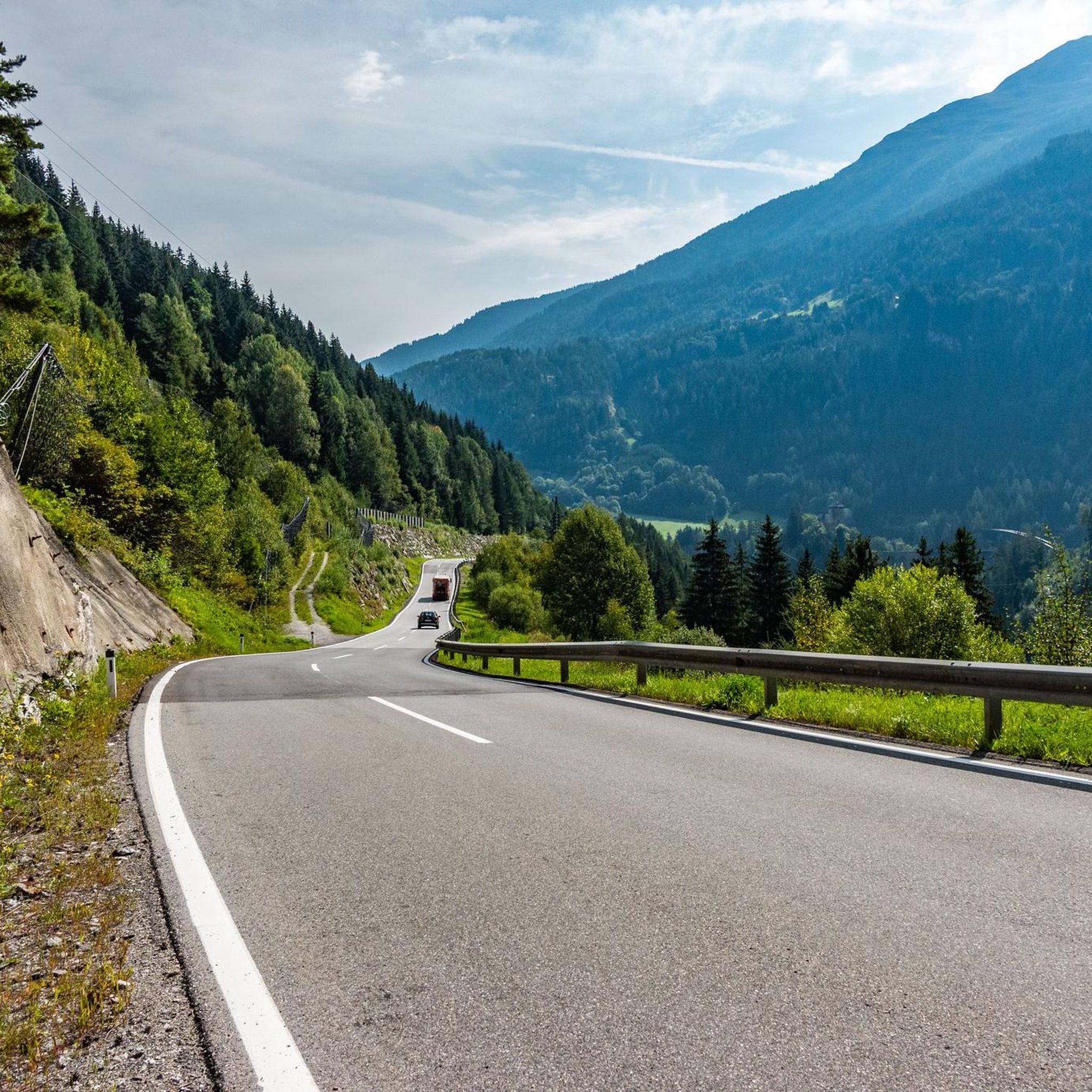
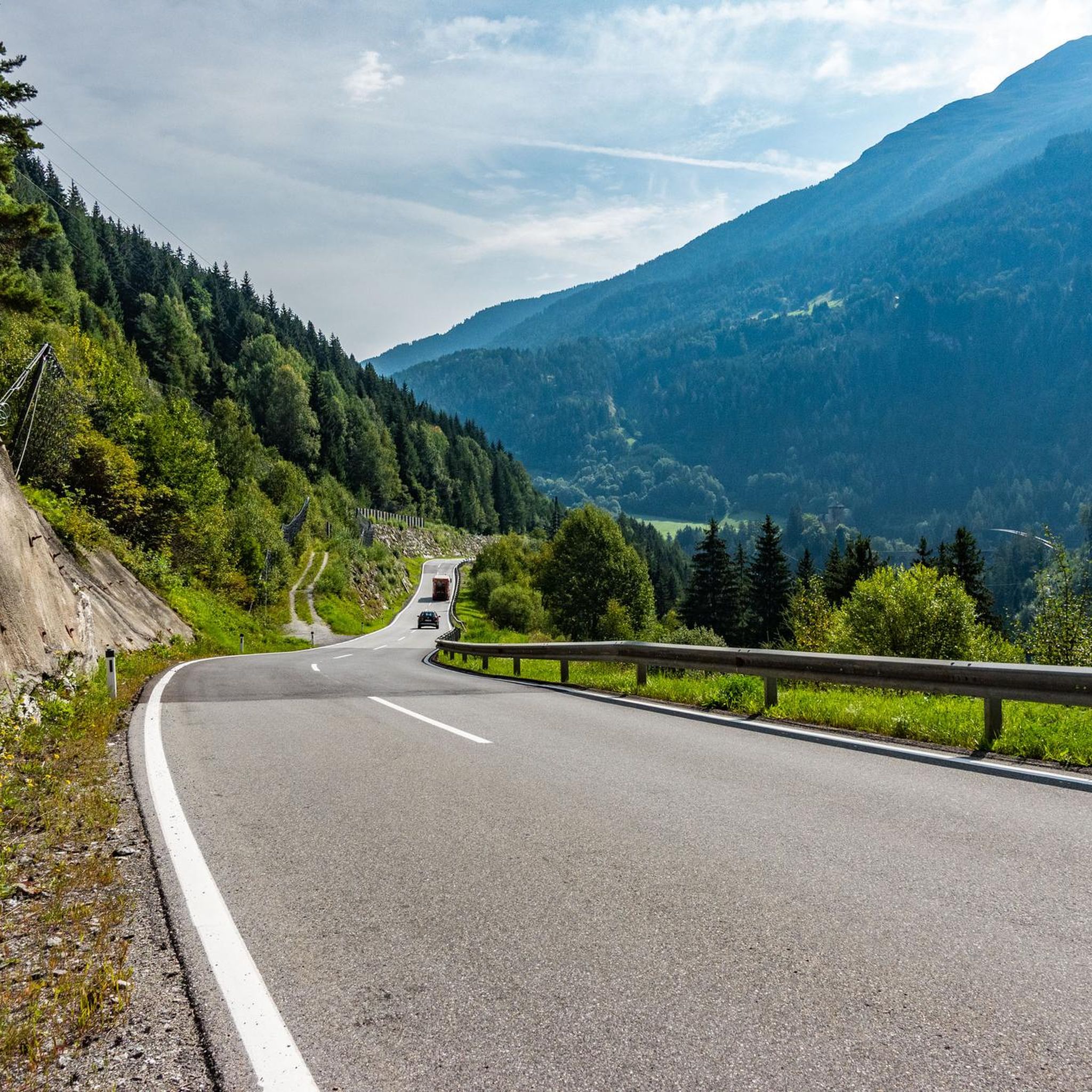

Tips from the Community

Pure nature - in contrast to the Medrigcar cable cars - most beautiful way to the Ascherhütte - but strenuous!
0
0

Great hut with really friendly staff! Highly recommended, even for day trips!
1
0

An impressive panorama awaits you at the Augsburger Hütte. There are simple meals, including a few vegetarian options. There are 21 beds in dormitories and 38 beds in mattress dormitories available for overnight stays. In the cold season, when the hut is closed, you can find shelter in the winter room (14 beds). All information is available at https://augsburgerhuette.jimdoweb.com/.
2
1

Nice bench above the lift station. You have a fantastic view of the mountain panorama and are already at a proud (approx.) 2,225 meters altitude.
0
0

At the DAV hut (2,256 metres) you will be provided with regional food, you can take a break on the sunny terrace or even spend the night.
1
0
There is a beautiful path that winds its way from and to the Ascherhütte through the idyllic mountain landscape. Don't let the picturesque surroundings distract you too much, there are a few larger stones in the way here and there. ;)
0
0

The climb is worth it! Be sure to push through to the summit 😉
1
1

The Ascherhütte is worth a visit at any time of the year.
1
0
Frequently Asked Questions
How many mountaineering routes are available in Süßwald?
Süßwald offers a diverse selection of nearly 20 mountaineering routes, catering to various skill levels. The majority of these, around 15, are rated as difficult, while a few moderate options are also available.
What is the best time of year for mountaineering in Süßwald?
The prime season for mountaineering in Süßwald typically runs from late spring through early autumn (June to September). During these months, trails are generally free of snow, and weather conditions are more stable, making high alpine passes and exposed ridges safer to traverse. Always check local weather forecasts before heading out.
Are there any beginner-friendly mountaineering routes in Süßwald?
While Süßwald is known for its challenging terrain, there are a few moderate routes suitable for those with some experience or looking for a less strenuous day. One such option is the Panorama Restaurant Medigrün – Ascher Hütte loop from See, which covers about 4.8 miles (7.8 km) with a more manageable elevation gain.
What kind of gear should I bring for mountaineering in Süßwald?
Given the region's diverse alpine landscape, characterized by significant elevation changes and rugged terrain, it's essential to be well-prepared. We recommend sturdy hiking boots, appropriate layers of clothing for varying weather conditions, rain gear, sun protection, sufficient water and snacks, a map or GPS device, and a first-aid kit. For more challenging routes, trekking poles can be very helpful.
Are there any circular mountaineering routes in Süßwald?
Yes, many of Süßwald's mountaineering routes are designed as loops, allowing you to start and finish at the same point. A popular example is the challenging Furgler Summit Cross – Furgler ridge loop from See, which offers panoramic views over 9.9 miles (15.9 km).
Where can I find parking for the mountaineering trails in Süßwald?
Many of the routes in Süßwald, particularly those starting from villages like See or Grins, offer designated parking areas near the trailheads. For instance, routes like the Panorama Restaurant Medigrün – Medrigjochbahn mountain station loop from See typically have parking available at or near the valley stations of cable cars or in the village itself. It's always advisable to check specific trailhead information for parking details.
Can I reach the mountaineering trails in Süßwald by public transport?
Public transport options are available to access some of the starting points for mountaineering routes in Süßwald, especially to larger villages like See. Regional bus services often connect these villages, which can serve as trailheads. However, access to more remote trailheads might be limited, so planning ahead and checking local bus schedules is recommended.
Are there mountain huts or places to eat along the routes?
Yes, Süßwald's alpine landscape features several mountain huts that offer refreshments and sometimes overnight stays. The Spinnscharte – Ascher Hütte loop from See, for example, leads directly to the Ascher Hütte, providing a welcome stop for mountaineers. These huts are excellent places to refuel and enjoy local cuisine.
What do other mountaineers say about the routes in Süßwald?
The mountaineering routes in Süßwald are highly regarded by the komoot community, boasting an impressive average rating of 4.8 stars from over 50 reviews. Users frequently praise the challenging nature of the trails, the breathtaking panoramic views from exposed ridges, and the well-maintained paths leading to alpine huts.
Are there any less crowded mountaineering options in Süßwald?
While popular routes can see more traffic, Süßwald's extensive network offers opportunities to find quieter trails. Exploring routes that start from smaller villages or venturing out during off-peak hours (early morning or late afternoon) can lead to a more solitary experience. The Augsburger Hut – Patrolscharte loop from Grins, for instance, offers a challenging and rewarding experience that might be less frequented than routes starting from larger hubs.
Are the mountaineering routes in Süßwald suitable for families?
Mountaineering in Süßwald is generally characterized by challenging ascents and rugged terrain, making many routes more suitable for experienced hikers. However, families with older, experienced children who are accustomed to significant elevation changes and longer durations might find some of the moderate trails enjoyable. Always assess the difficulty and duration carefully to match your family's capabilities.
Most popular routes in Süßwald

Get inspired with the komoot mobile app


Explore more
Browse the best Mountain Hikes & Routes in other regions.
