The best MTB trails in Süßwald
4.5
(1692)
7,873
riders
90
rides
Mountain biking in Süßwald offers a diverse landscape within the Tiroler Oberland, characterized by its extensive forests and river valleys. The region features varied terrain, from gentle paths along waterways to more challenging ascents through wooded areas. Mountain bikers can expect a mix of natural trails and well-maintained cycle paths, providing opportunities to explore the area's natural beauty.
Best mountain bike trails in Süßwald
- The most popular mountain bike trail is Stanzertal Cycle Path – Sanna River loop from Strengen…
Last updated: June 24, 2026
4.3
(6)
23
riders
22.7km
02:23
880m
870m
Moderate mountain bike ride. Good fitness required. Suitable for all skill levels.
4.8
(4)
11
riders
19.6km
01:42
520m
520m
Moderate mountain bike ride. Good fitness required. Suitable for all skill levels.

Sign up for free
4.8
(24)
116
riders
24.1km
02:14
710m
710m
Moderate mountain bike ride. Good fitness required. Suitable for all skill levels.
4.2
(18)
113
riders
18.0km
02:10
770m
770m
Moderate mountain bike ride. Good fitness required. Suitable for all skill levels.
4.7
(16)
50
riders
21.7km
02:03
600m
590m
Moderate mountain bike ride. Good fitness required. Suitable for all skill levels.
Get access to more routes and recommendations from other explorers.
Sign up for free
Already have an account?
Our route recommendations are based on thousands of hikes, rides, and runs completed by other people on komoot.
Start today with a free account
Your next adventure awaits.
Login or Signup
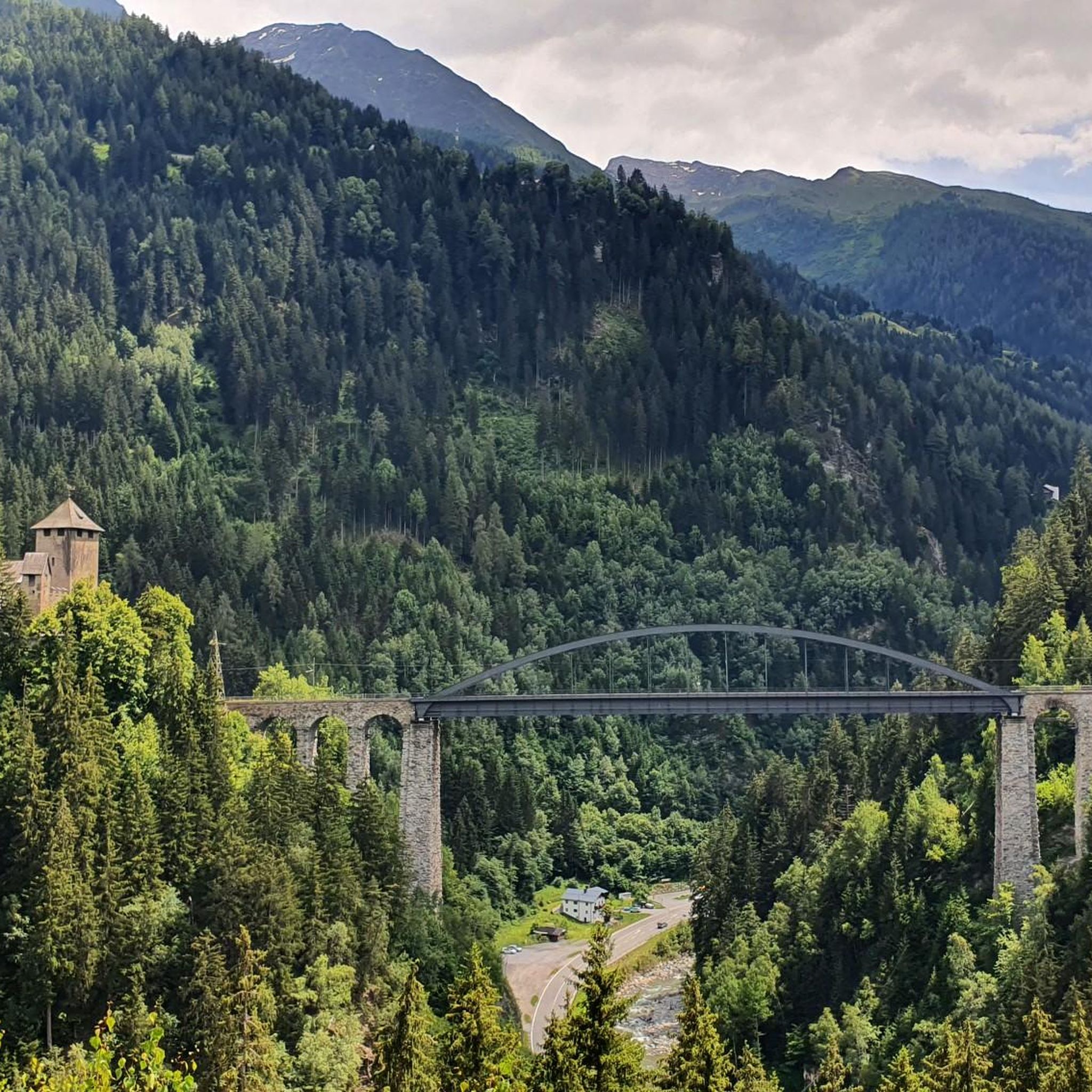
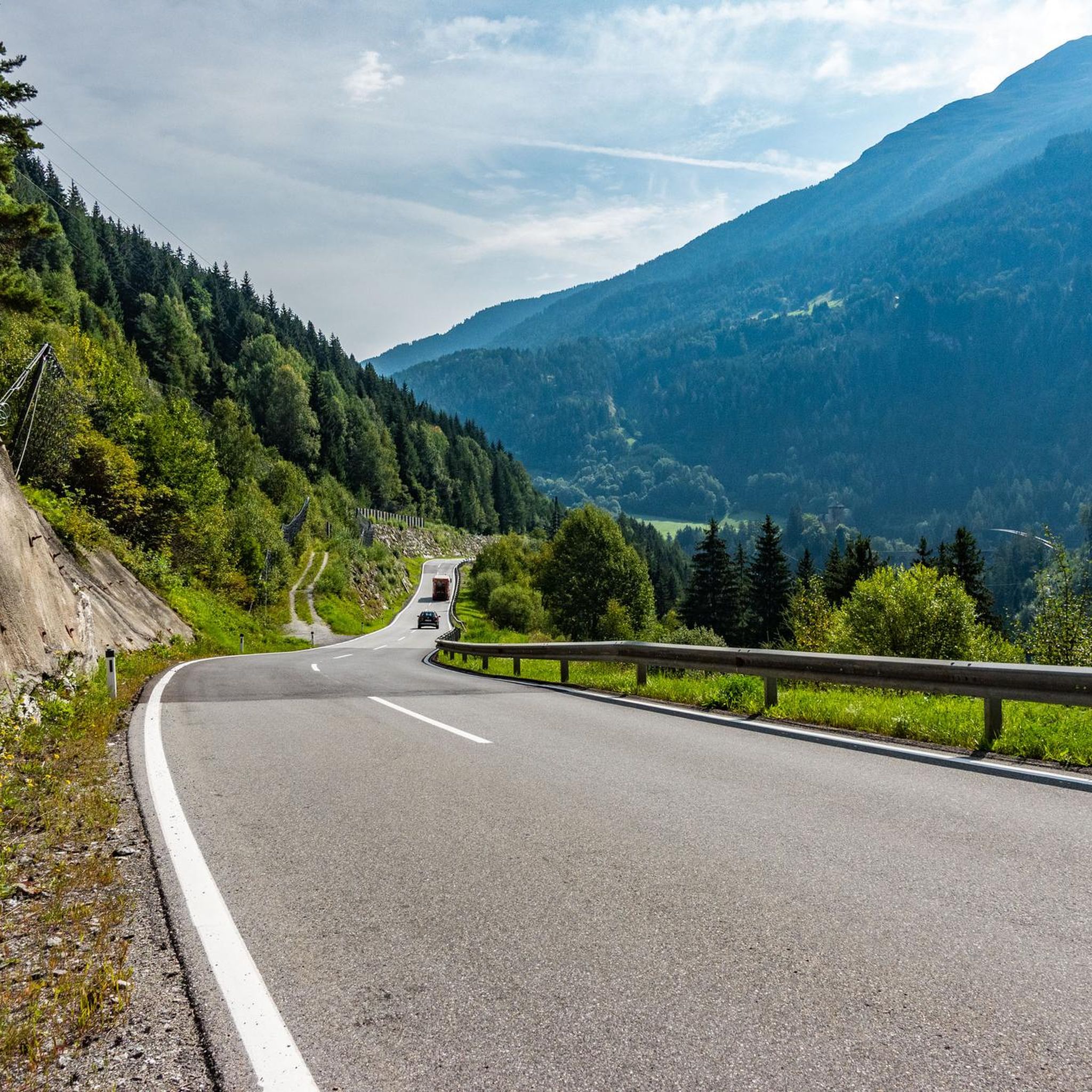
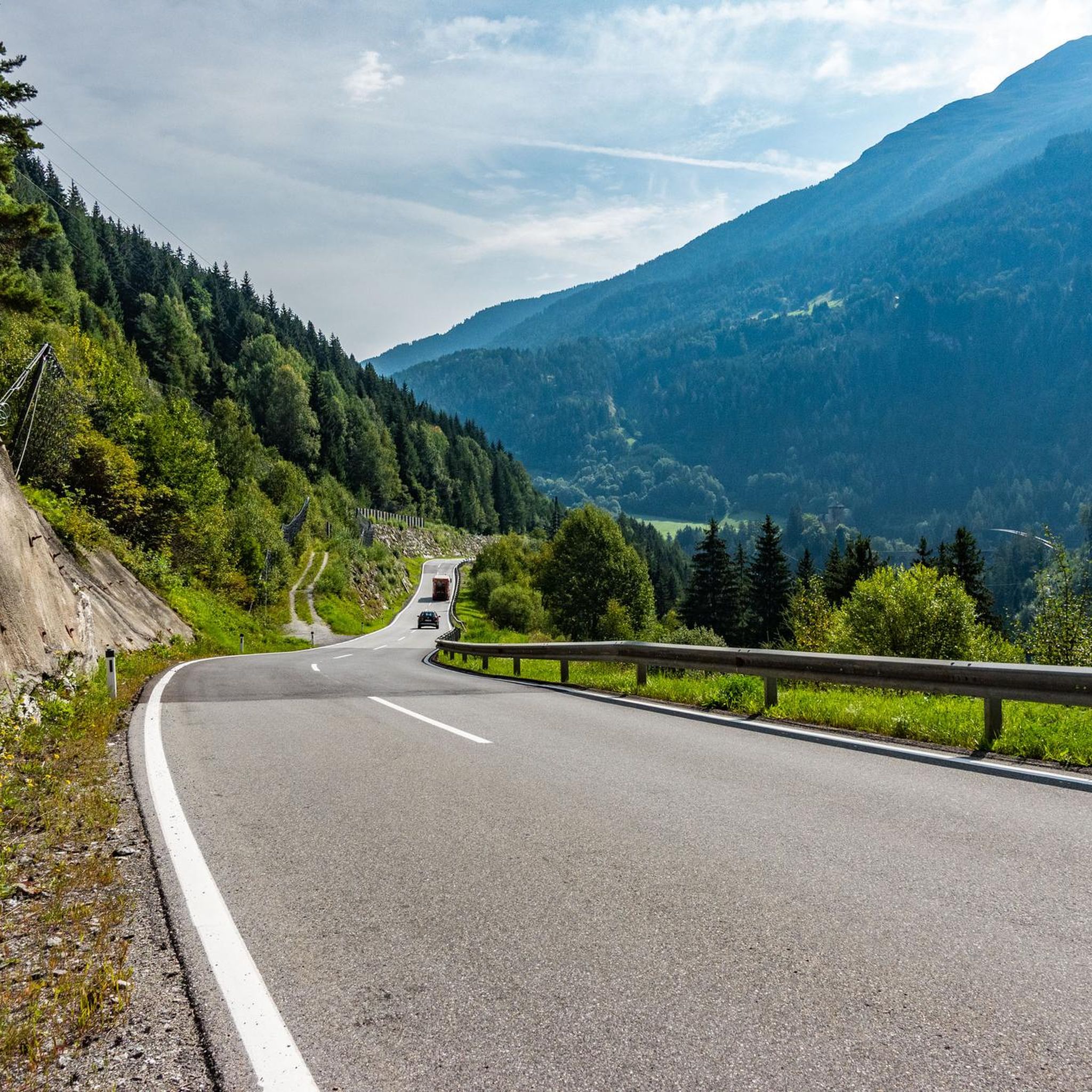
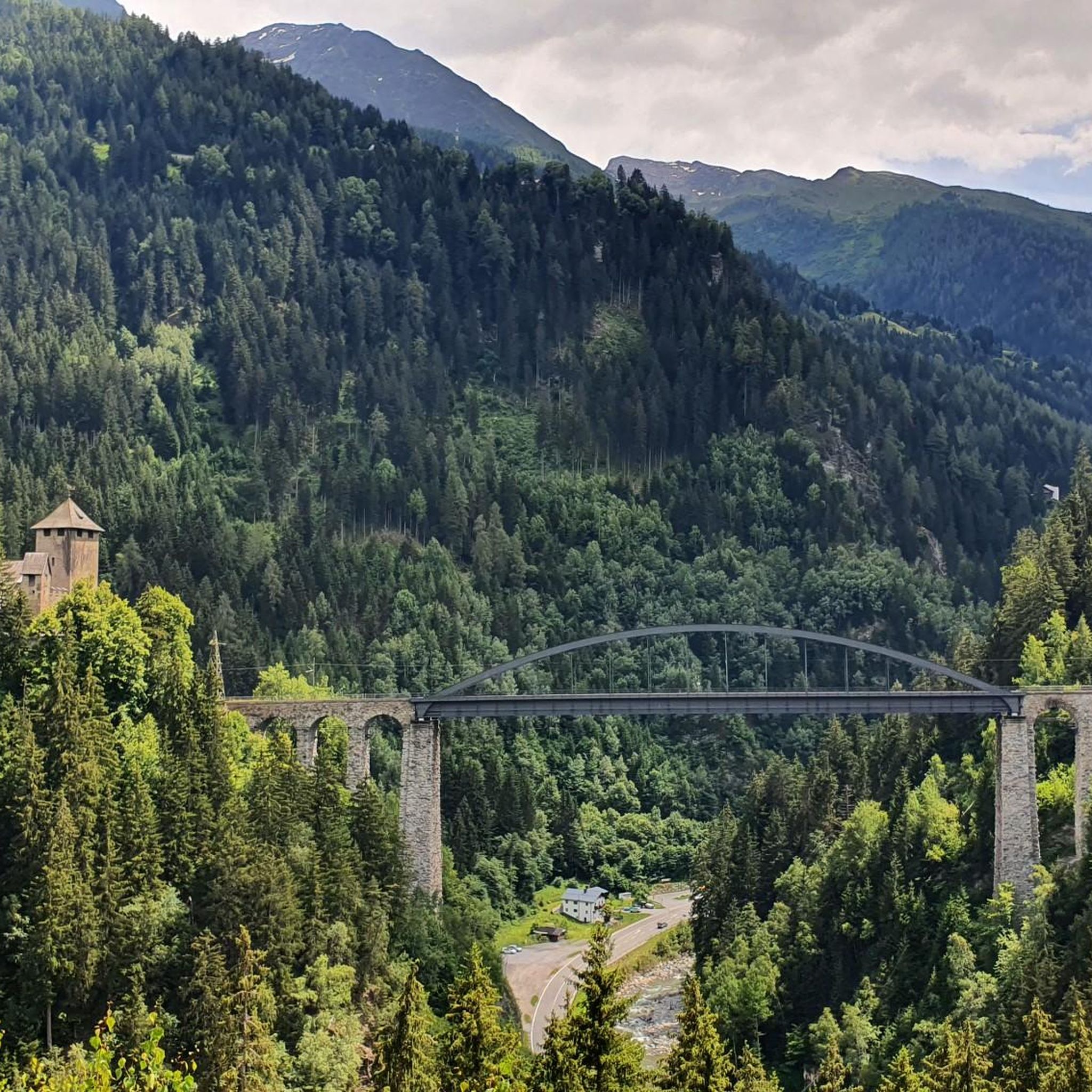

Tips from the Community

mega Panorama
0
0

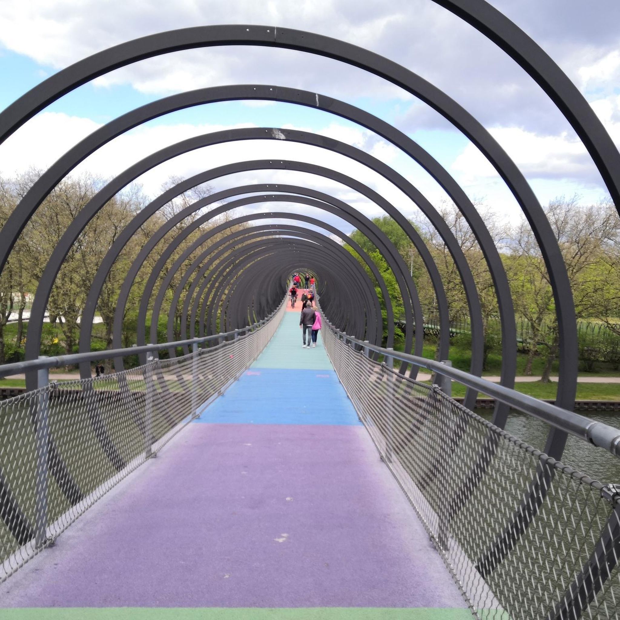
Beautiful old wooden bridge 😎
0
0

Easy transport to the top for your MTB
0
0


Frequently Asked Questions
How many mountain bike trails are available in Süßwald?
Süßwald offers a diverse network of mountain bike trails, with over 90 routes available on komoot. These include options for all skill levels, from easy scenic rides to challenging ascents.
Are there mountain bike trails suitable for beginners in Süßwald?
Yes, Süßwald has several easy mountain bike routes perfect for beginners or those looking for a relaxed ride. There are 7 easy routes to choose from, allowing you to enjoy the scenery without overly technical demands.
What kind of challenges can advanced mountain bikers expect in Süßwald?
Advanced riders will find plenty of challenging terrain in Süßwald, with 31 difficult routes featuring significant climbs and technical sections. These trails often lead through dense woodlands and offer rewarding views. An example of a challenging route is the Hubertus Chapel (1430 m) – Medrigalm loop from See, which includes substantial elevation gain.
Are there any loop trails for mountain biking in Süßwald?
Yes, many of the mountain bike routes in Süßwald are designed as loops, allowing you to start and finish at the same point. For instance, the Stanzertal Cycle Path – Sanna River loop from Strengen is a popular moderate loop that follows the Sanna River.
When is the best time of year for mountain biking in Süßwald?
The best time for mountain biking in Süßwald is typically from late spring through early autumn (May to October). During these months, the weather is generally mild, and the trails are dry and accessible. Always check local weather conditions before heading out.
Can I find family-friendly mountain bike routes in Süßwald?
While specific 'family-friendly' routes are not explicitly categorized, many of the easy and moderate trails in Süßwald, particularly those along river valleys or on well-maintained cycle paths, can be suitable for families with older children or those comfortable with longer distances. Look for routes with lower elevation gain and smoother surfaces.
Where can I park my car when visiting Süßwald for mountain biking?
Parking availability varies by trailhead. Many villages and starting points for trails, such as Strengen or See, offer designated parking areas. It's advisable to check specific route descriptions on komoot for detailed parking information near your chosen starting point.
What kind of views or natural features can I expect along the mountain bike trails?
Süßwald's mountain bike trails offer scenic views of the Tiroler Oberland, characterized by extensive forests, river valleys, and alpine foothills. You can expect to ride alongside waterways like the Sanna River, through dense woodlands, and to elevated points offering panoramic vistas. The Forest Waterfall MTB Trail – Paznauner Valley Trail loop from See, for example, highlights natural water features.
Are there any cafes or places to stop for refreshments along the trails?
Many of the mountain bike routes in Süßwald pass through or near charming villages and hamlets where you can find cafes, restaurants, or traditional inns. Some trails also lead to alpine huts or mountain restaurants, especially at higher elevations, offering opportunities for a break and refreshments. It's always a good idea to carry sufficient water and snacks, especially on longer rides.
What do other mountain bikers enjoy the most about mountain biking in Süßwald?
The mountain biking in Süßwald is highly rated by the komoot community, with an average score of 4.5 stars from over 1600 reviews. Riders often praise the diverse landscape, the mix of natural trails and well-maintained paths, and the opportunities to explore the region's natural beauty. The variety of routes, from gentle river paths to challenging climbs, is also frequently highlighted.
Are there any longer mountain bike routes in Süßwald for a full day out?
Yes, Süßwald offers several longer routes suitable for a full day of mountain biking. For example, the Forest Waterfall MTB Trail – Paznauner Valley Trail loop from See covers 15 miles (24.1 km), and the Stanzertal Cycle Path – Sanna River loop from Strengen is 14.1 miles (22.7 km), both offering substantial distances to explore the region.
Can I go mountain biking in Süßwald during winter?
While some lower-lying paths might be accessible, mountain biking in Süßwald during winter can be challenging due to snow and ice, especially at higher elevations. Many trails may be closed or unsuitable for biking. It's best to check local conditions and trail status before planning a winter ride. Alternative winter sports like skiing or snowshoeing are more common in the Tiroler Oberland during this season.
Most popular routes in Süßwald

Get inspired with the komoot mobile app


Explore more
Browse the best MTB trails in other regions.
