The best walks and hikes in La Maluna
4.5
(710)
6,046
hikers
150
hikes
Hiking in La Maluna offers a diverse range of trails through forested hills and valleys near Nice. The region is characterized by its varied terrain, featuring significant elevation changes and opportunities for expansive views. Hikers can explore a network of paths that traverse both lower-lying woodlands and higher, more open areas.
Best hiking trails in La Maluna
- The most popular hiking route is Saint-Martin-Vésubie – To the summit of Puey loop from Berthemont-les-Bains, a 14.7 miles (23.6 km) trail…
Last updated: July 8, 2026
4.2
(6)
22
hikers
23.7km
07:52
1,070m
1,070m
Hard hike. Very good fitness required. Easily-accessible paths. Suitable for all skill levels.
3.7
(3)
23
hikers
10.6km
04:08
770m
770m
Moderate hike. Good fitness required. Easily-accessible paths. Suitable for all skill levels.

Sign up for free
4.0
(1)
10
hikers
9.84km
03:25
470m
470m
Moderate hike. Good fitness required. Mostly accessible paths. Sure-footedness required.
10
hikers
12.4km
04:36
810m
810m
Moderate hike. Good fitness required. Easily-accessible paths. Suitable for all skill levels.
3.0
(1)
5
hikers
Easy hike. Great for any fitness level. Easily-accessible paths. Suitable for all skill levels.
Get access to more routes and recommendations from other explorers.
Sign up for free
Already have an account?
Our route recommendations are based on thousands of hikes, rides, and runs completed by other people on komoot.
Start today with a free account
Your next adventure awaits.
Login or Signup


Tips from the Community

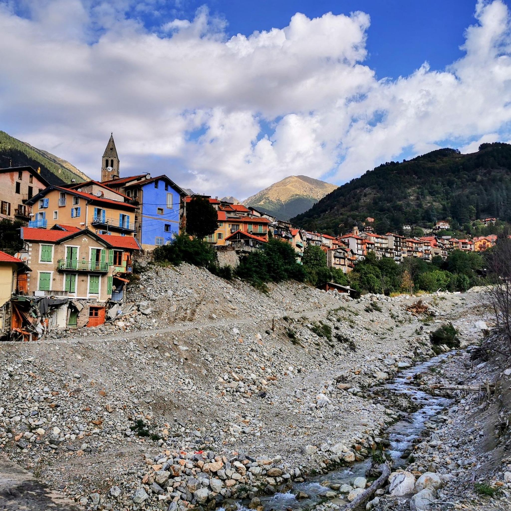
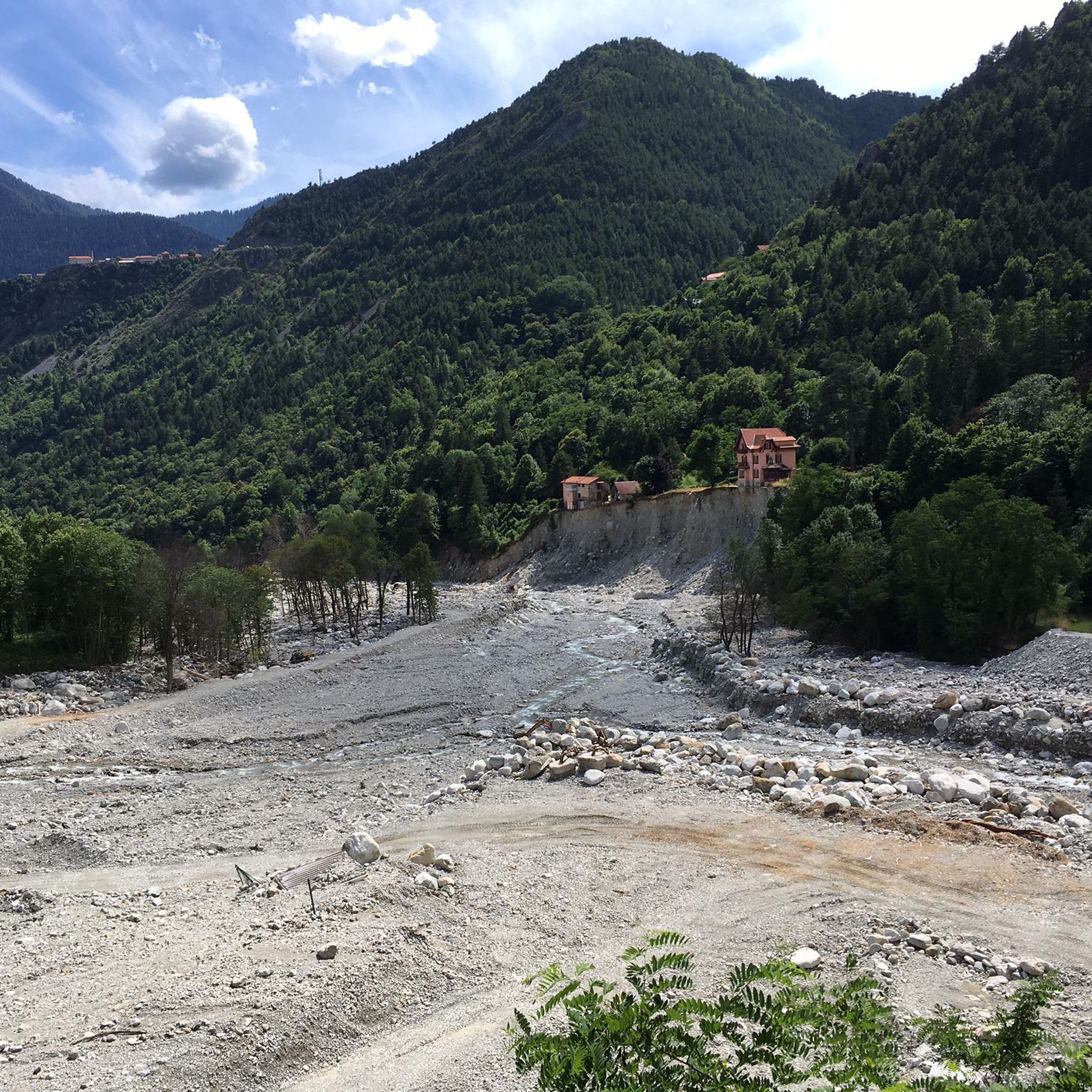
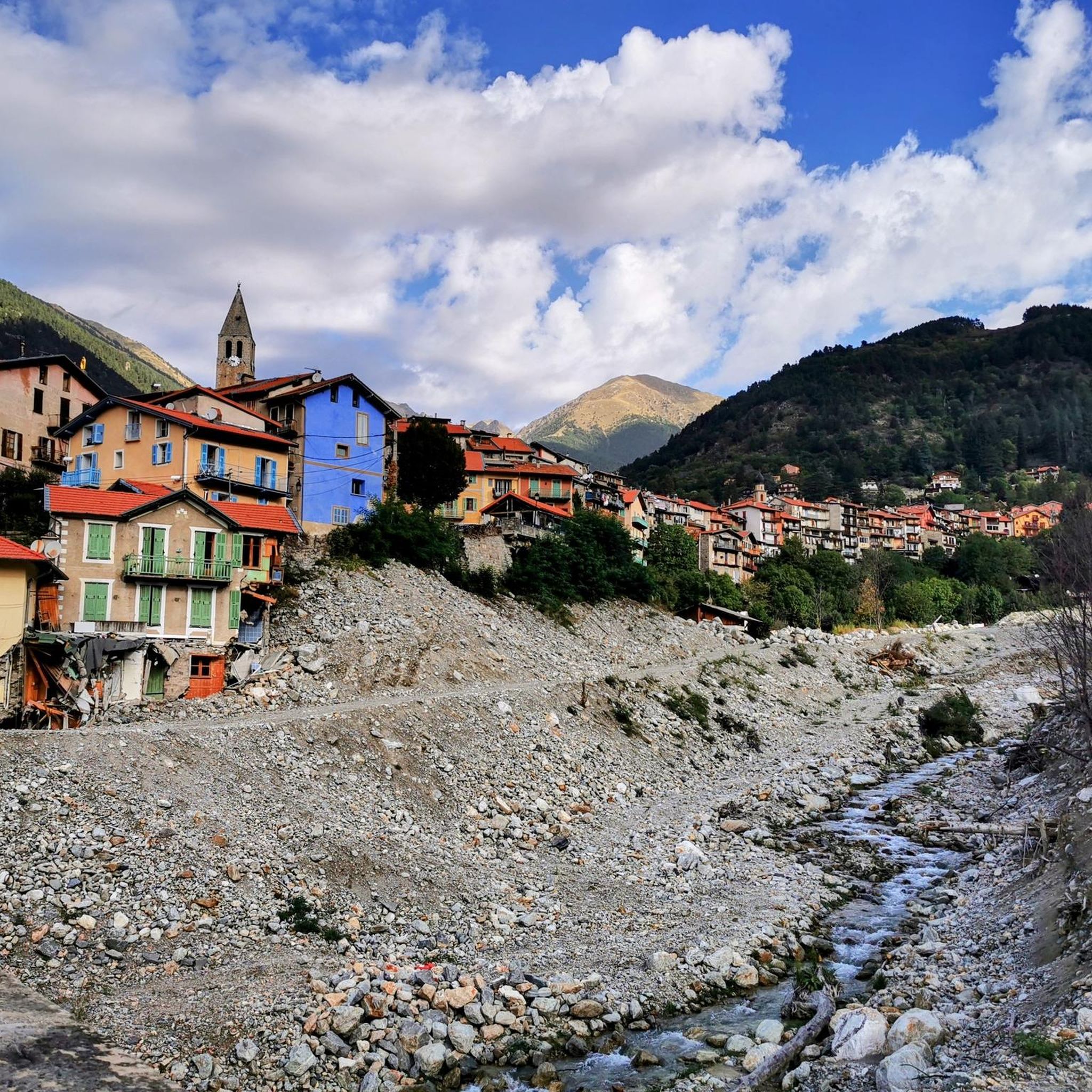
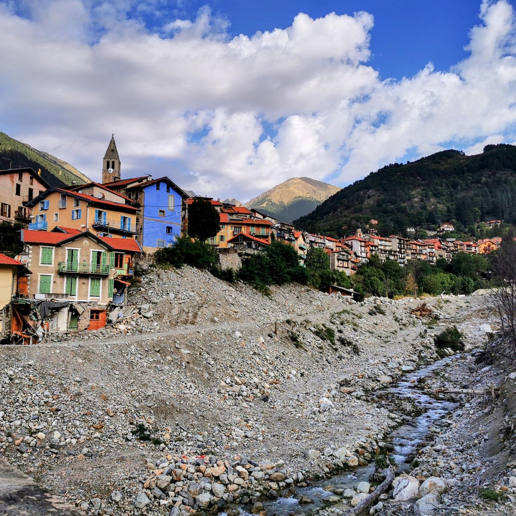
Currently (as of July 2025), there's a lot of excavation and construction going on here. For cycling emergencies, there's a local sports shop that carries all kinds of cycling supplies and was able to quickly help us with our bike repairs: https://sport-addict06.fr/
2
0

Tough climb on the way from the La Colmiane car park. Rough gravel in places and a few small streams after rainy days. Strenuous (for me 😅) but rideable.
0
0

A beautiful place worth visiting.
1
0

Sale of alpine cheese in Cairo Petit
0
0

Relatively easy access from Venanson via roadways. Starting point for MTB trail descent. In summer probably MTB transport with the chairlift.
0
0

The Collet des Trous is a pass that culminates at 1,977 meters above sea level. In addition to the panoramic view of the valleys that surround it, it is also a way to reach Mont Tournairet at the foot of which stands a small unguarded refuge. 600 meters separate you from it.
0
0
The Col des Deux Caïres peaks at an altitude of 1,921 meters, between the Tinée and Vésubie valleys. It connects Big Cairo to the east (2,087 meters above sea level) and Small Cairo to the west (1,921 meters above sea level). On Little Cairo, you can find the remains of a bunker, open to the public.
0
0

Mountain peaks with beautiful views and old fortifications
0
0
Frequently Asked Questions
How many hiking trails are available in La Maluna?
La Maluna offers a wide selection of hiking routes, with over 140 trails to explore. These range from easy strolls to challenging mountain ascents, catering to various fitness levels and preferences.
Are there any easy hikes suitable for beginners or families in La Maluna?
Yes, La Maluna has 25 easy hiking routes. A good option for a shorter, less strenuous walk is the Saint-Martin-Vésubie – To the summit of Puey loop from Saint-Martin-Vésubie, which is just over 1.6 miles (2.6 km) long and takes about 45 minutes to complete.
What are the options for challenging hikes in La Maluna?
For experienced hikers seeking a challenge, La Maluna features 60 difficult routes. One such demanding trail is the Saint-Martin-Vésubie – To the summit of Puey loop from Berthemont-les-Bains, a 14.7-mile (23.6 km) journey with significant elevation gain, typically requiring nearly 8 hours to finish.
Can I find circular hiking routes in La Maluna?
Many of the trails in La Maluna are designed as loops, allowing you to start and end at the same point. An example is the moderate Le Conquet – Viewpoint loop from Venanson, which offers scenic vistas and is 6.6 miles (10.6 km) long.
What is the best time of year to go hiking in La Maluna?
The best time to hike in La Maluna is generally from spring through autumn (April to October). During these months, the weather is typically mild and pleasant, and the trails are most accessible. Summer can be warm, so early morning starts are recommended. Winter hiking is possible but may require specific gear due to snow and ice at higher elevations.
Are there any viewpoints or scenic spots along the trails in La Maluna?
Yes, La Maluna's varied terrain includes numerous elevated viewpoints offering panoramic vistas of the forested hills and valleys. The Le Conquet – Viewpoint loop from Venanson is specifically known for its scenic outlooks.
What do other hikers say about the trails in La Maluna?
The hiking trails in La Maluna are highly regarded by the komoot community, holding an average rating of 4.5 stars from over 600 reviews. Hikers frequently praise the diverse landscapes, the well-maintained paths, and the opportunities for both challenging climbs and peaceful walks through nature.
Is public transport available to reach hiking trailheads in La Maluna?
While some trailheads might be accessible by local bus services, public transport options can be limited in more remote areas of La Maluna. It's advisable to check local bus schedules in advance, especially if you plan to rely on public transport for your hike. Many routes, such as the Église de la Brasque. – Collet des Trous loop from Nice Côte d'Azur, are often accessed by car from nearby towns.
Where can I find parking for hiking trails in La Maluna?
Parking availability varies by trailhead. Many popular starting points, especially near villages like Venanson or Saint-Martin-Vésubie, offer designated parking areas. For routes originating from more urban centers like Nice Côte d'Azur, you may need to use public parking facilities. Always check specific route details for recommended parking spots.
Are there any cafes or places to eat near the hiking trails?
While the trails themselves are often in natural, undeveloped areas, you can find cafes and restaurants in the nearby villages and towns such as Saint-Martin-Vésubie or Venanson. It's a good idea to plan your hike to start or end near these settlements if you wish to enjoy refreshments before or after your walk.
What is the typical duration of hikes in La Maluna?
Hikes in La Maluna vary significantly in length and duration. Easy routes can be as short as 45 minutes, while moderate trails like the Pass of the Two Caïres – Colmiane Peak loop from Venanson might take around 4.5 hours. The most challenging expeditions can extend to 8 hours or more, depending on the distance and elevation gain.
Most popular routes in La Maluna

Get inspired with the komoot mobile app


Explore more
Browse the best Hikes in other regions.
