The best running trails around Pennington
4.5
(8)
1,366
runners
24
runs
Jogging routes around Pennington traverse a diverse landscape characterized by mature hardwood forests, wetlands, and open meadows. The region features varied terrain, including paths alongside waterways and through agricultural fields. These natural environments provide a range of running experiences, from shaded forest trails to more open routes.
Best jogging routes around Pennington
- The most popular jogging route is Running loop from Pennington, a 4.2 miles (6.7 km) trail that takes 42 minutes to complete. This moderate route features an…
Last updated: June 24, 2026
7
runners
6.70km
00:43
90m
90m
Moderate run. Good fitness required. Mostly paved surfaces. Suitable for all skill levels.
7
runners
13.6km
01:25
120m
120m
Moderate run. Good fitness required. Mostly paved surfaces. Suitable for all skill levels.

Sign up for free
6
runners
5.50km
00:34
30m
30m
Moderate run. Good fitness required. Mostly paved surfaces. Suitable for all skill levels.
5
runners
10.00km
01:03
120m
120m
Moderate run. Good fitness required. Mostly paved surfaces. Suitable for all skill levels.
4
runners
11.5km
01:14
180m
180m
Moderate run. Good fitness required. Mostly paved surfaces. Suitable for all skill levels.
Get access to more routes and recommendations from other explorers.
Sign up for free
Already have an account?
Our route recommendations are based on thousands of hikes, rides, and runs completed by other people on komoot.
Start today with a free account
Your next adventure awaits.
Login or Signup
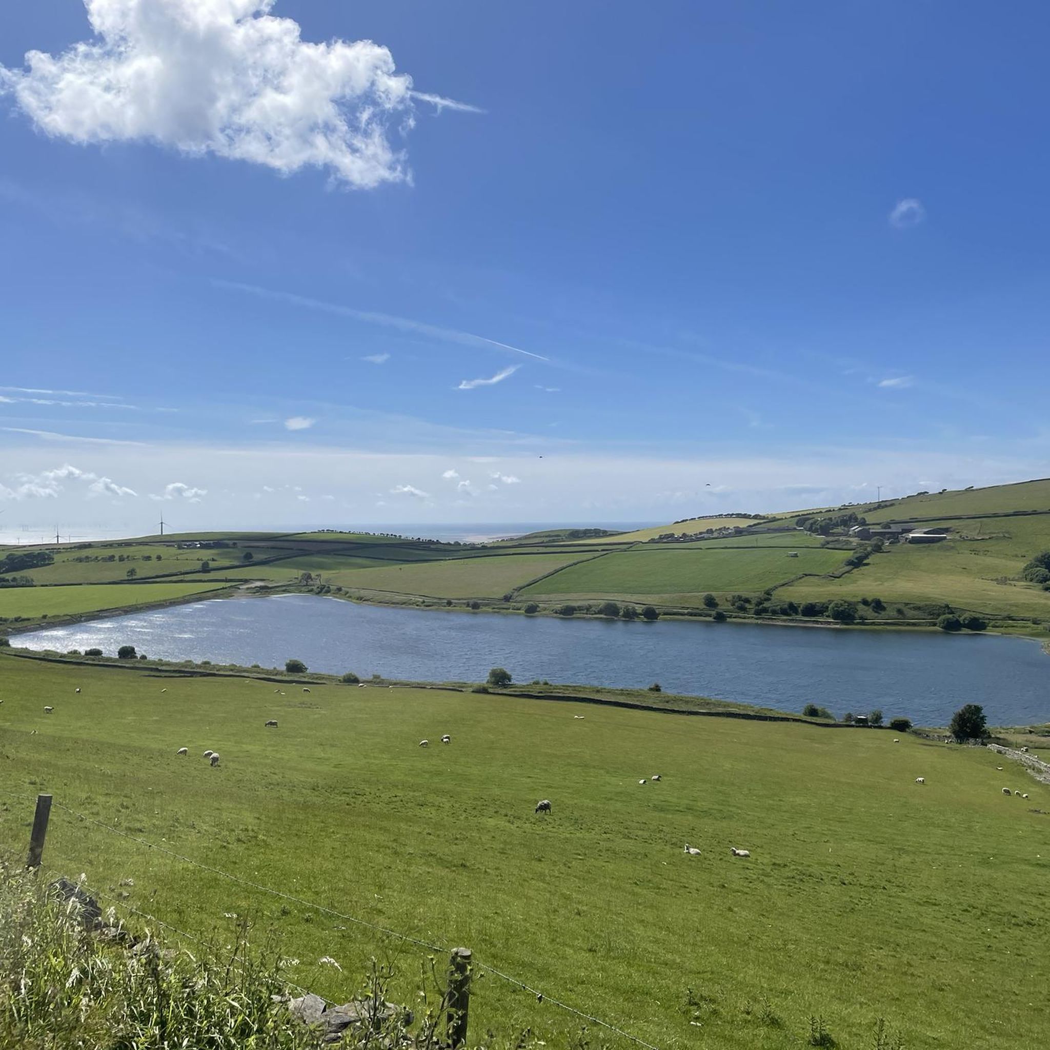
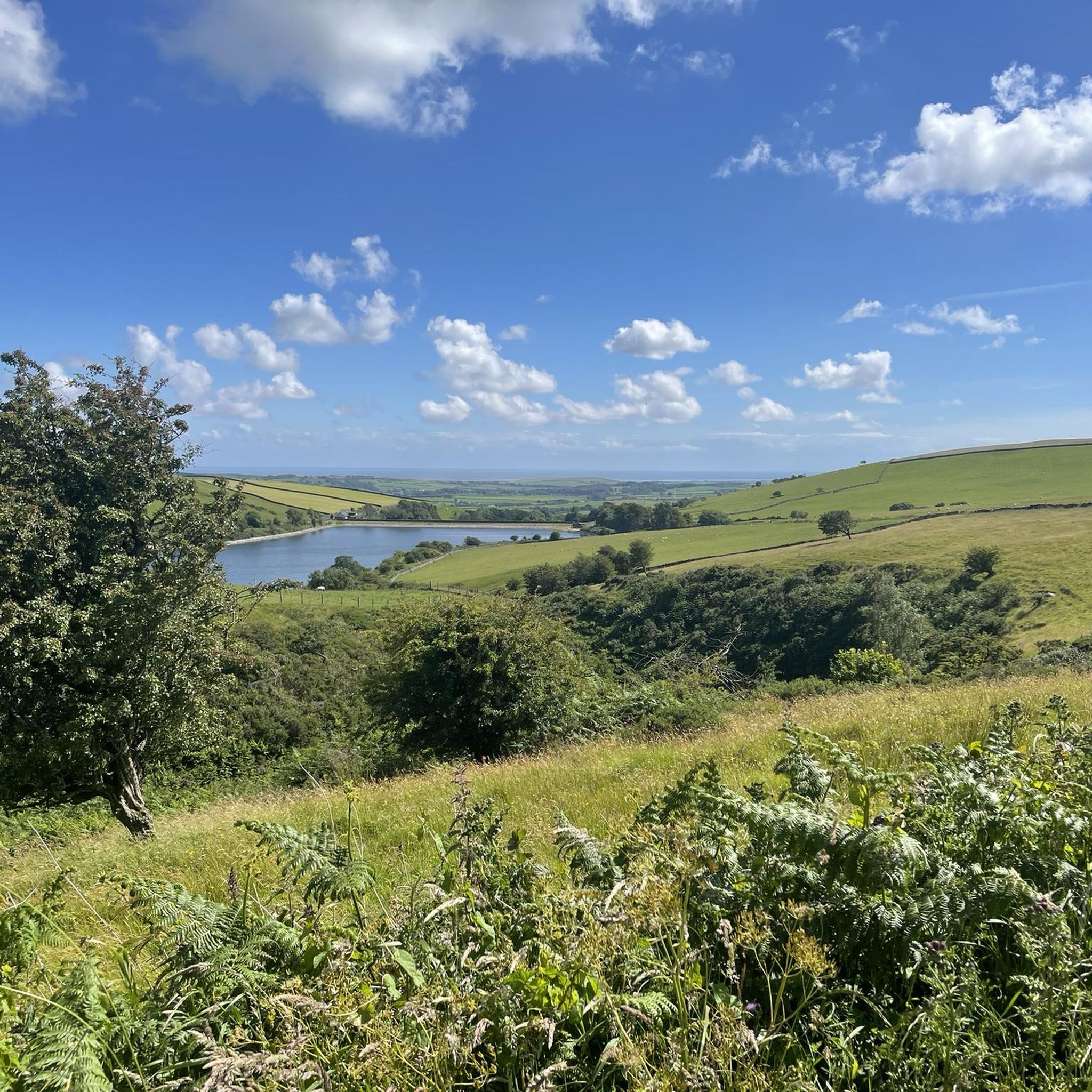
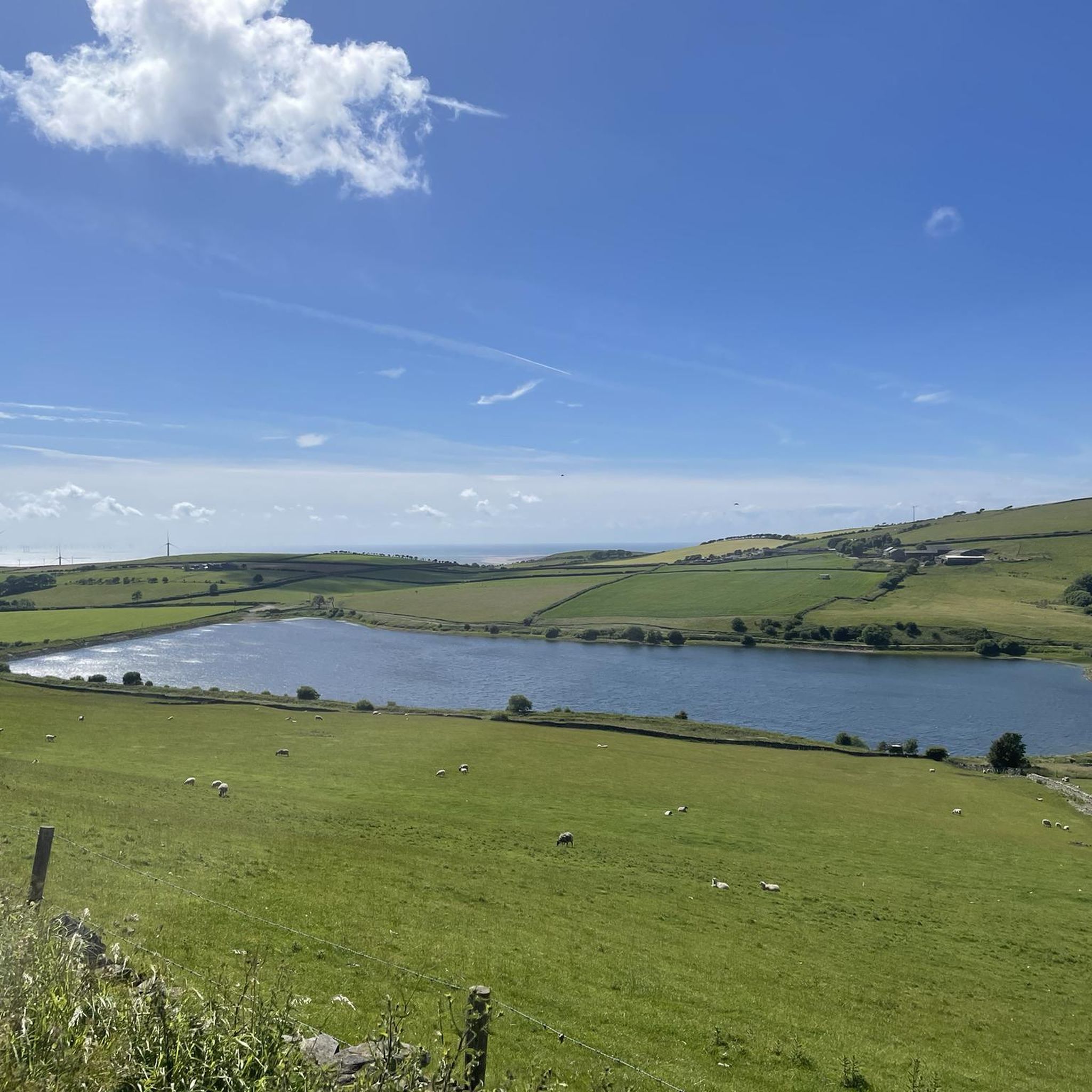
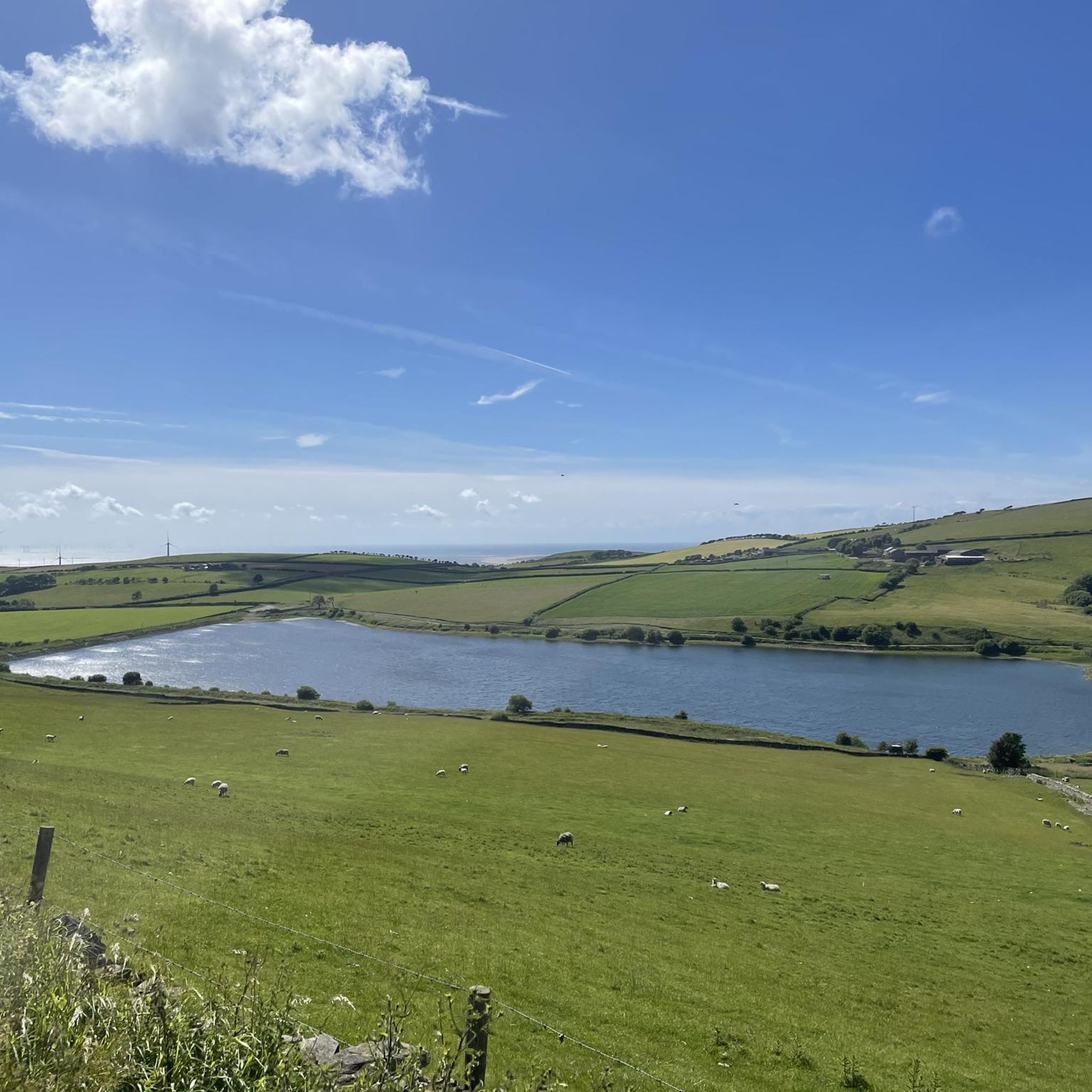
Tips from the Community

(Parking) space with metal statue, which - next to the bench a few meters further - marks the start of the Cumbria Way
0
0
A few meters from this bench with a sign pointing to the start of the path and an information board, there is also a metal statue at the car park as a further marker of the starting point of the Cumbria Way
0
0
A few meters from this statue at the car park is another starting point of the Cumbria Way - a bench with a sign pointing to the start of the path and an information board
0
0


A useful indicator for the start or finish of the Cumbria Way. Set on a sculpture with surrounding seat on the edge of a car park and with a plaque on the wall.
2
0

Welcome to the start of the Cumbria Way in Ulverston (or the end if you're walking southbound of course!)
2
0
Frequently Asked Questions
How many running routes are available in Pennington?
Pennington offers a diverse network of over 20 running routes. These trails traverse varied landscapes, including mature hardwood forests, wetlands, and open meadows, providing options for different preferences and fitness levels.
Are there easy running routes for beginners or those seeking a relaxed jog?
Yes, Pennington has several easy running routes perfect for beginners or a leisurely jog. There are 5 routes specifically categorized as easy. The Rosedale Lake loop, for instance, is an easy, mostly paved run suitable for all fitness levels, offering a smooth surface for a comfortable experience.
What kind of terrain can I expect on the jogging trails around Pennington?
The jogging trails in Pennington feature a wide variety of terrain. You'll find paths through mature hardwood forests, wetlands, and open meadows. Some routes, like the Watershed Trail, offer a mix of natural, unpaved surfaces, while others, such as sections of the Lawrence Hopewell Trail and the Rosedale Lake loop, provide mostly paved surfaces. This diversity allows for different running experiences, from shaded forest runs to more open routes alongside waterways.
Are there any family-friendly running routes in Pennington?
Many of Pennington's trails are suitable for families, especially those with easier grades and well-maintained surfaces. The Rosedale Lake loop is an excellent choice, being mostly paved and easy for all fitness levels. Additionally, Pennington Park features an extensive trail network that is generally accessible and enjoyable for families.
Can I bring my dog on the running trails in Pennington?
Yes, many of the natural trails in Pennington are dog-friendly, allowing you to enjoy a run with your canine companion. Areas like the Watershed Trail and Pennington Park offer ample space for dogs, but always ensure your dog is on a leash and that you clean up after them to preserve the natural environment for everyone.
Are there circular running routes available in the area?
Yes, Pennington features several circular running routes, which are popular for their convenience. A notable option is the Running loop from Pennington, a moderate 4.2-mile (6.7 km) trail that takes about 42 minutes to complete. This route offers a great way to experience the local scenery without retracing your steps.
What are some scenic viewpoints or natural features to look out for on the trails?
Pennington's trails offer numerous scenic views and natural features. You can enjoy waterfront views along the Rancocas Creek in Pennington Park or around the Rosedale Lake loop. The Pennington Loop Nature Trail provides views of the Stony Brook floodplain and Baldwin Lake. For broader natural beauty, consider exploring nearby highlights such as Beacon Tarn or Bigland Tarn, which offer beautiful lake scenery.
Where can I find parking for the running routes?
Parking is generally available at key access points for many of Pennington's running trails. For example, Pennington Park and trailheads for the Watershed Trail and Lawrence Hopewell Trail typically offer designated parking areas. It's advisable to check specific trail information for the most convenient parking locations.
Are there any longer running routes for more advanced runners?
For runners looking for a longer challenge, Pennington and its surroundings offer extended routes. The Lawrence Hopewell Trail (LHT), accessible from Pennington, is a 20+ mile trail that provides a significant distance for advanced runners. Additionally, the View of the Forested Hill – Cumbrian Cow loop from Swarthmoor is a moderate 8.5-mile (13.7 km) path, offering a substantial run through varied landscapes.
What do other runners say about jogging in Pennington?
The running routes in Pennington are highly regarded by the komoot community, with an average rating of 4.3 stars from over 7 reviews. Runners often praise the diverse landscapes, from mature hardwood forests to wetlands and open meadows, and appreciate the variety of terrain that accommodates different fitness levels. Over 1000 runners have used komoot to explore Pennington's trails, highlighting its popularity.
What kind of wildlife might I encounter while running?
Pennington's natural areas are rich in wildlife. On trails like the Pennington Loop Nature Trail, you might spot great blue herons and wood ducks in the Stony Brook, as well as various songbirds. Pennington Park is known for cottontail rabbits, red-tailed hawks, red foxes, and waterfowl like Canada geese, offering a chance to observe local fauna during your run.
Are there any specific landmarks or points of interest along the running trails?
While running in Pennington, you can encounter various points of interest. The Pennington Loop Nature Trail borders agricultural fields, offering a glimpse of local farming. For specific landmarks, consider exploring nearby highlights such as Birkrigg Trig Point or Wool Knott Summit, which provide unique natural monuments and viewpoints in the broader region.
Is public transport available to access the running routes?
While specific public transport options directly to every trailhead may vary, Pennington is generally accessible. For detailed public transport information to specific starting points, it's recommended to check local transit schedules or ride-sharing services, as direct routes to more secluded trailheads might be limited.
Most popular attractions around Pennington

Get inspired with the komoot mobile app


Explore more
Browse the best Running Trails & Routes in other regions.
