The best running trails around Lowside Quarter
4.3
(12)
1,418
runners
168
runs
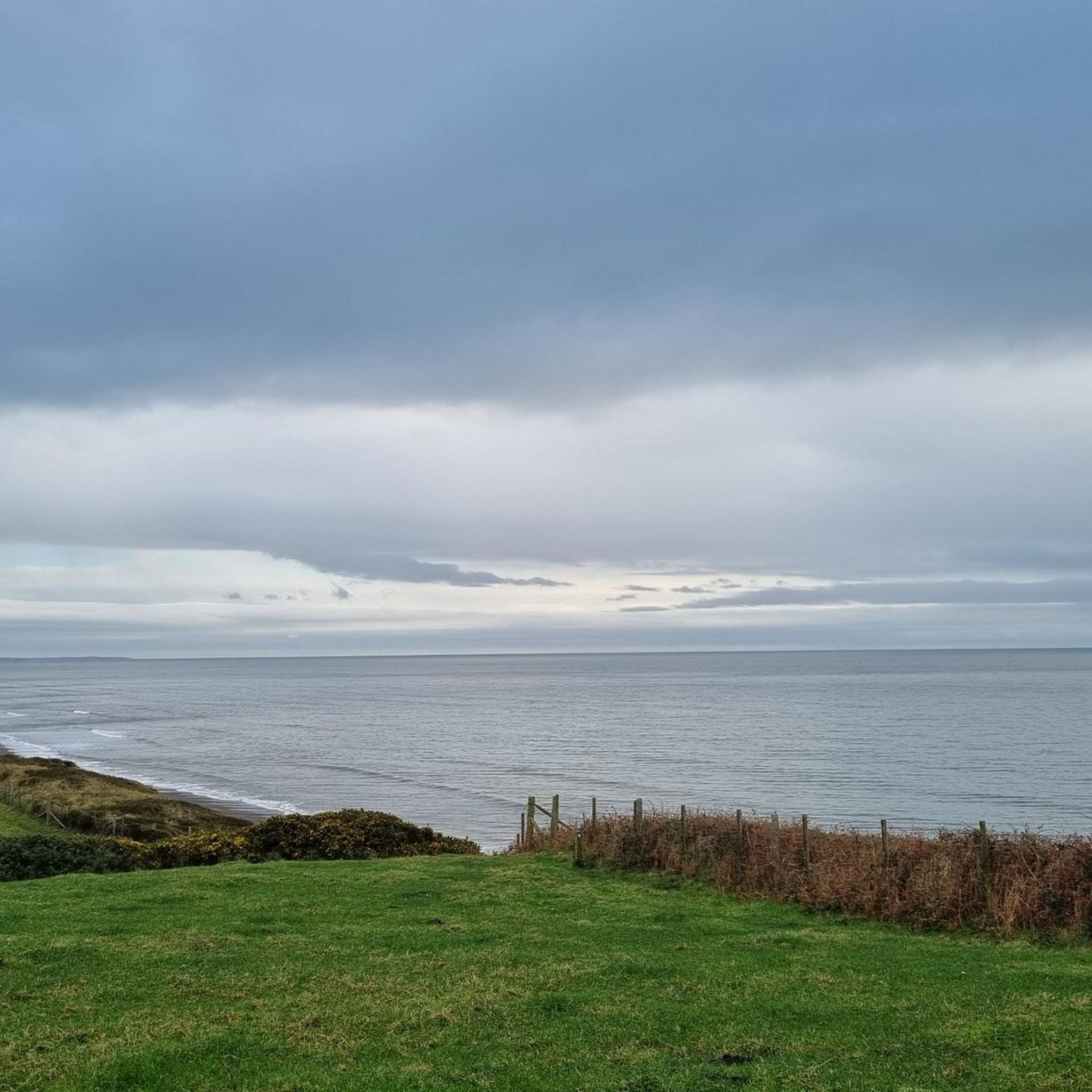
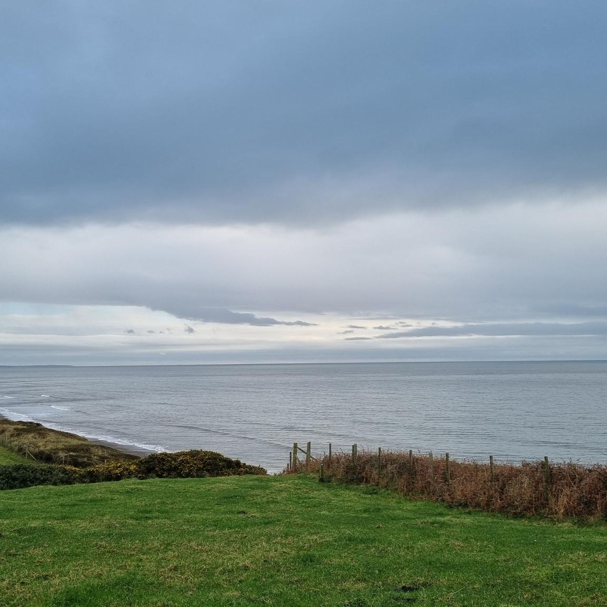
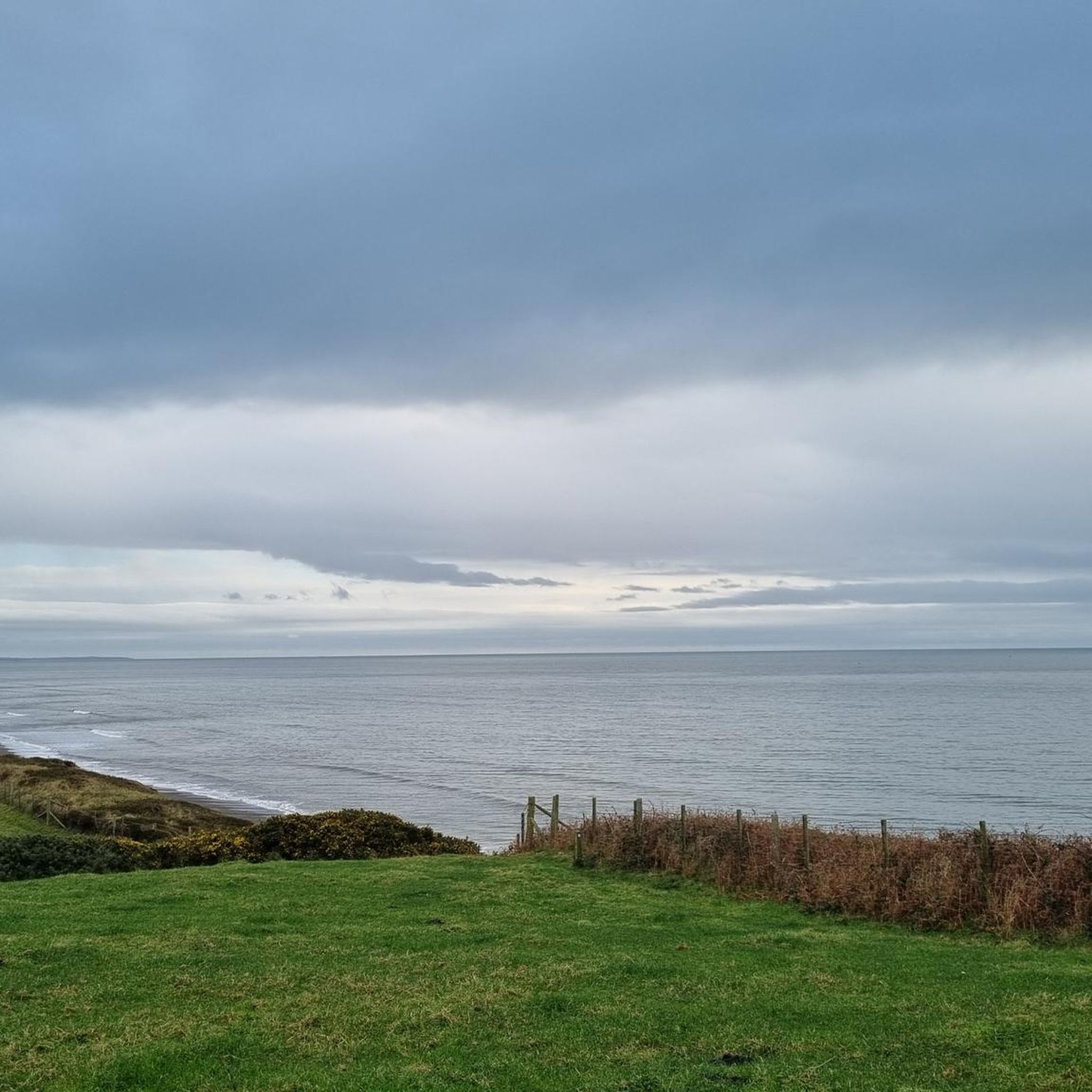
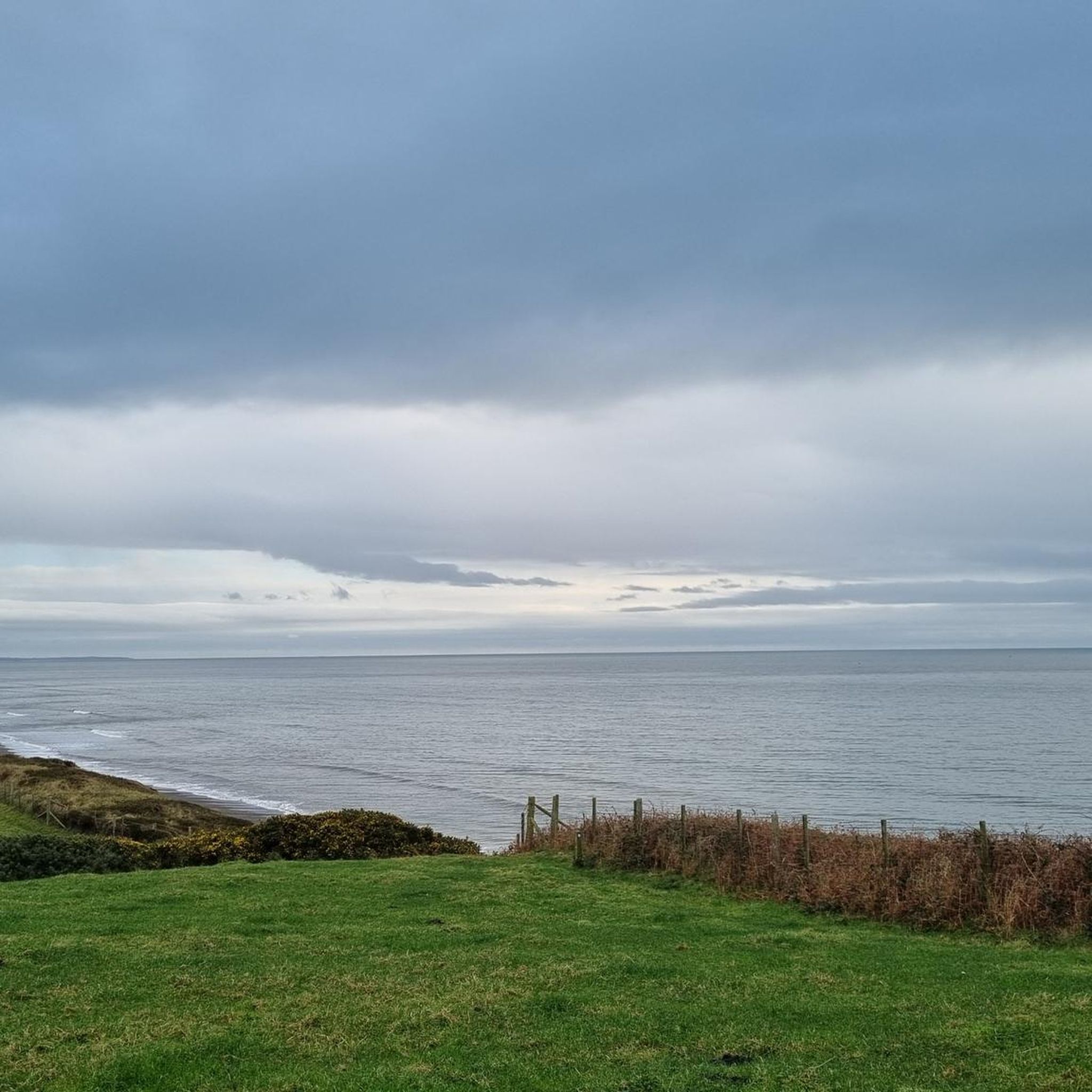
Jogging around Lowside Quarter offers diverse landscapes for runners, from coastal paths along the Irish Sea to tranquil riverside routes. The region features shingle and sand beaches, including Nethertown Beach, which provides views of the Lake District fells and the Isle of Man on clear days. Inland, the River Ehen offers low-level paths through peaceful countryside, complemented by varied Cumbrian countryside and woodland areas.
Best jogging routes around Lowside Quarter
- The most popular jogging route is Coast Path Access loop…
Last updated: June 28, 2026
7
runners
15.2km
01:36
140m
140m
Hard run. Very good fitness required. Mostly paved surfaces. Suitable for all skill levels.
6
runners
6.35km
00:40
30m
30m
Moderate run. Good fitness required. Mostly paved surfaces. Suitable for all skill levels.

Sign up for free
4
runners
4.68km
00:29
40m
40m
Easy run. Great for any fitness level. Mostly paved surfaces. Suitable for all skill levels.
5.0
(1)
4
runners
14.3km
01:43
360m
360m
Hard run. Very good fitness required. Mostly paved surfaces. Suitable for all skill levels.
5.0
(1)
4
runners
7.07km
00:45
80m
80m
Moderate run. Good fitness required. Mostly paved surfaces. Suitable for all skill levels.
Get access to more routes and recommendations from other explorers.
Sign up for free
Already have an account?
Our route recommendations are based on thousands of hikes, rides, and runs completed by other people on komoot.
Start today with a free account
Your next adventure awaits.
Login or Signup

Tips from the Community

Egremont, nestled along the banks of the River Ehen, is a historic market town with a rich industrial legacy encompassing dyeing, weaving, and iron ore mining. Positioned at the base of Uldale Valley and Dent Fell, the town is characterised by a broad Main Street extending into the vibrant market square. Remnants of the 12th-century Norman castle can be found near the market place at the southern end of Main Street. Today, Egremont's economic landscape is anchored in the nuclear industry centered around Sellafield. It lies on NCN 72, Hadrian's Cycleway.
0
0
Egremont, nestled along the banks of the River Ehen, is a historic market town with a rich industrial legacy encompassing dyeing, weaving, and iron ore mining. Positioned at the base of Uldale Valley and Dent Fell, the town is characterised by a broad Main Street extending into the vibrant market square. Remnants of the 12th-century Norman castle can be found near the market place at the southern end of Main Street. Today, Egremont's economic landscape is anchored in the nuclear industry centered around Sellafield. It lies on NCN 72, Hadrian's Cycleway.
0
0

16th century Lakeland farm, about half an hour's walk from Dent Summit and thus virtually marking the transition from coastal to hillside. Would you like to read more and get an idea of the inside? http://www.mania.ltd.uk/blackhow/
2
0

I did this hill as I was staying in Egremont hiking anything with a slope in the Lake District. Anyway it was a rainy day so I thought I would knock off Dent. Dent at 352m is a UK designated Marilyn and is a nice hill. It would have fine views on a sunny day especially towards Grike and the high peaks around Ennerdale. No access issues and a forest walk in and out but a nice fell top with good views and a cairned summit. This is Dent's West Top which is lower at 346m but not only has it a bigger cairn than Dent proper but it has two of them?
1
1
I did this hill as I was staying in Egremont hiking anything with a slope in the Lake District. Anyway it was a rainy day so I thought I would knock off Dent. Dent at 352m is a UK designated Marilyn and is a nice hill. It would have fine views on a sunny day especially towards Grike and the high peaks around Ennerdale. No access issues and a forest walk in and out but a nice fell top with good views and a cairned summit.
2
0

Constructed in 1120 for the Norman baron William de Meschines, Egremont Castle fell into disuse in the late 16th century. Today all that is left is an abandoned ruin, which stands tall above the River Ehen. The large stone wall at the end of the outer bailey would have formed part of the great hall. It is on public land and is free to access.
0
0
A splendid hill with a wide-ranging panorama of both Cumrbian coast to the west and mountains to the east. This Outlying Wainwright Fell makes for a lovely ramble from Egremont, Cleator Moor or Ennerdale Bridge. The nearby Nannycatch Gorge is also well worth checking out, under the slopes of Flat Fell.
2
0

Alfred Wainwright picked the slightly smaller point on Dent as the summit of this Outlying Wainwright Fell - 346m (as opposed to the true summit at 352m which is marked by a smaller cairn to the east).
3
0
Frequently Asked Questions
How many running routes are available in Lowside Quarter?
Lowside Quarter offers a wide selection of running routes, with over 170 trails available for you to explore. These range from easy, leisurely jogs to more challenging runs.
What kind of terrain can I expect on running trails in Lowside Quarter?
You'll find a diverse range of terrain, from invigorating coastal paths along the Irish Sea, featuring shingle and sand beaches, to tranquil riverside routes along the River Ehen. There are also paths through varied Cumbrian countryside and woodland areas like Lingbank Plantation, offering a mix of surfaces for your run.
Are there running routes suitable for beginners or easy jogs?
Yes, Lowside Quarter has 19 routes specifically graded as easy, perfect for beginners or those looking for a relaxed run. An example is the Running loop from Egremont, a 2.9-mile trail through local countryside.
Are there longer or more challenging running routes in the area?
Absolutely. For those seeking a challenge, there are 27 difficult routes available. A notable option is the Dent West Top (346m) – View of the Rolling Hills loop from Egremont, which covers over 14 kilometers with significant elevation changes.
What do other runners enjoy most about the trails in Lowside Quarter?
The running trails in Lowside Quarter are highly rated by the komoot community, with an average score of 4.3 stars from over 10 reviews. Runners frequently praise the expansive coastal views, the peaceful riverside paths, and the variety of landscapes, including sections of Hadrian's Cycleway.
Can I bring my dog on the running trails in Lowside Quarter?
Many routes in Lowside Quarter are dog-friendly, especially sections of the Cumbria Coastal Way. For instance, the walk from St Bees to Coulderton along the England Coast Path is known to be suitable for dogs, offering great views for both you and your canine companion.
Are there family-friendly running options in Lowside Quarter?
Yes, the area offers several family-friendly options. The low-level, easy walks along the River Ehen near Egremont are particularly suitable, weaving through peaceful countryside and providing opportunities for wildlife spotting, making them enjoyable for all ages.
What landmarks or points of interest can I see while running?
While running, you can encounter various interesting sights. Coastal routes offer views of the historic beach bungalows at Braystones and Nethertown, and the Braystones Tower. Inland, you might pass by the Dent West Top (346m) or the Lank Rigg Summit, offering panoramic views. Some routes also pass near the Seascale Beach.
Are there running routes with sea views in Lowside Quarter?
Definitely! Lowside Quarter is situated along the Irish Sea, offering numerous routes with stunning coastal vistas. The Coast Path Access loop from Egremont and the Route 72 Sculpture loop from Beckermet both provide fine sea views. On clear days, you can even see the distant fells of the Lake District and the Isle of Man.
Is parking available near the running routes?
While specific parking details vary by route, many trailheads and popular coastal access points in Lowside Quarter and surrounding villages like Egremont, Nethertown, and Braystones offer parking facilities. It's advisable to check local signage or route descriptions for precise parking information.
How can I reach the running trails using public transport?
The Cumbrian Coast Line railway passes through the region, with stations at villages like Nethertown and Braystones. This provides convenient access to many coastal and inland routes, allowing you to start your run directly from a railway station.
What is the best time of year for running in Lowside Quarter?
The spring and summer months generally offer the most pleasant conditions for running, with milder weather and longer daylight hours. However, the coastal paths can be invigorating year-round, though some sections of beaches are best enjoyed at low tide. Always check local weather forecasts before heading out.
Most popular attractions around Lowside Quarter

Get inspired with the komoot mobile app


Explore more
Browse the best Running Trails & Routes in other regions.
