The best walks and hikes around Beckermet
4.4
(412)
4,132
hikers
202
hikes
Hiking around Beckermet offers diverse landscapes, from coastal paths along the Irish Sea to undulating fells shaped by glacial activity. The region serves as a gateway to the Lake District National Park, providing access to its renowned mountains and valleys. Hikers can explore rugged coastlines, including dramatic headlands like St Bees Head, and venture into areas with views of the Scafell range and the Isle of Man. The terrain includes a mix of gentle coastal walks, moderate trails through woodlands,…
Last updated: August 28, 2026
26
hikers
6.43km
01:38
20m
20m
Easy hike. Great for any fitness level. Easily-accessible paths. Suitable for all skill levels.
4.0
(3)
20
hikers
24.3km
06:40
370m
370m
Hard hike. Very good fitness required. Easily-accessible paths. Suitable for all skill levels.

Sign up for free
3.0
(3)
15
hikers
19.5km
05:01
90m
90m
Hard hike. Very good fitness required. Easily-accessible paths. Suitable for all skill levels.
15
hikers
3.93km
01:02
40m
40m
Easy hike. Great for any fitness level. Easily-accessible paths. Suitable for all skill levels.
15
hikers
8.69km
02:16
60m
60m
Moderate hike. Good fitness required. Easily-accessible paths. Suitable for all skill levels.
Get access to more routes and recommendations from other explorers.
Sign up for free
Already have an account?
Our route recommendations are based on thousands of hikes, rides, and runs completed by other people on komoot.
Start today with a free account
Your next adventure awaits.
Login or Signup

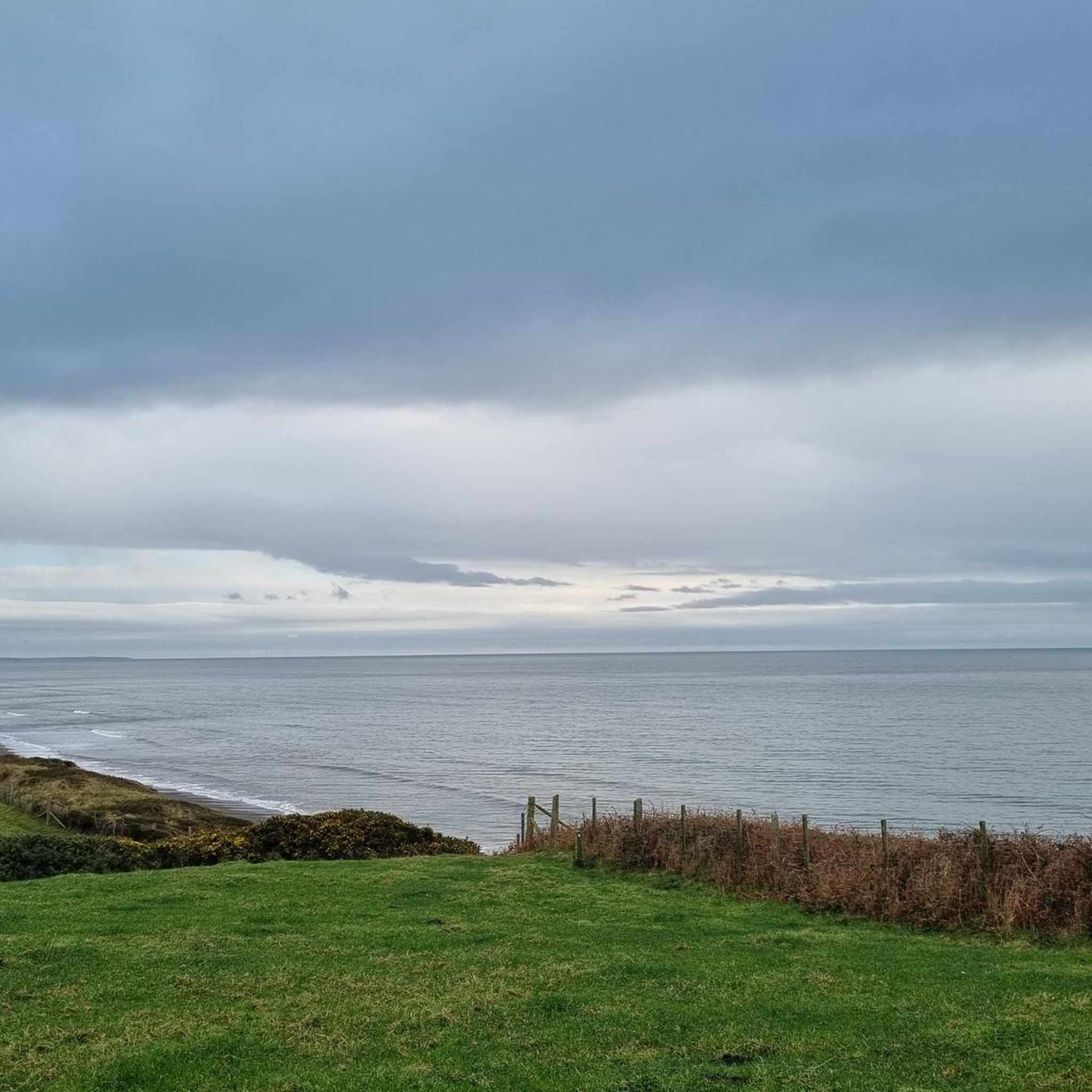
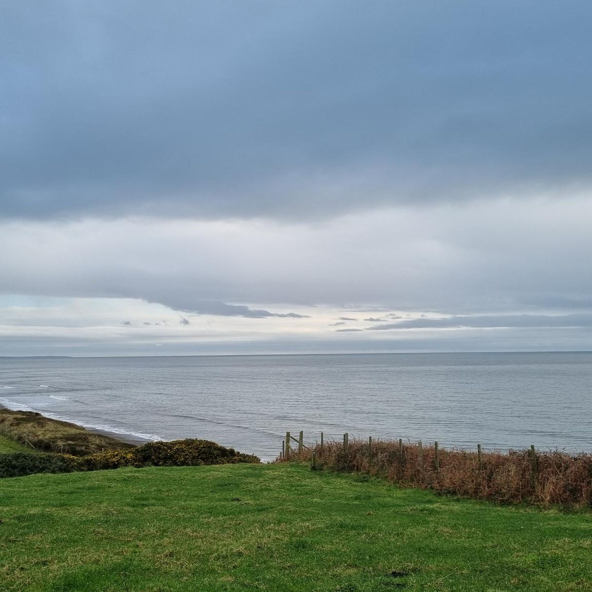
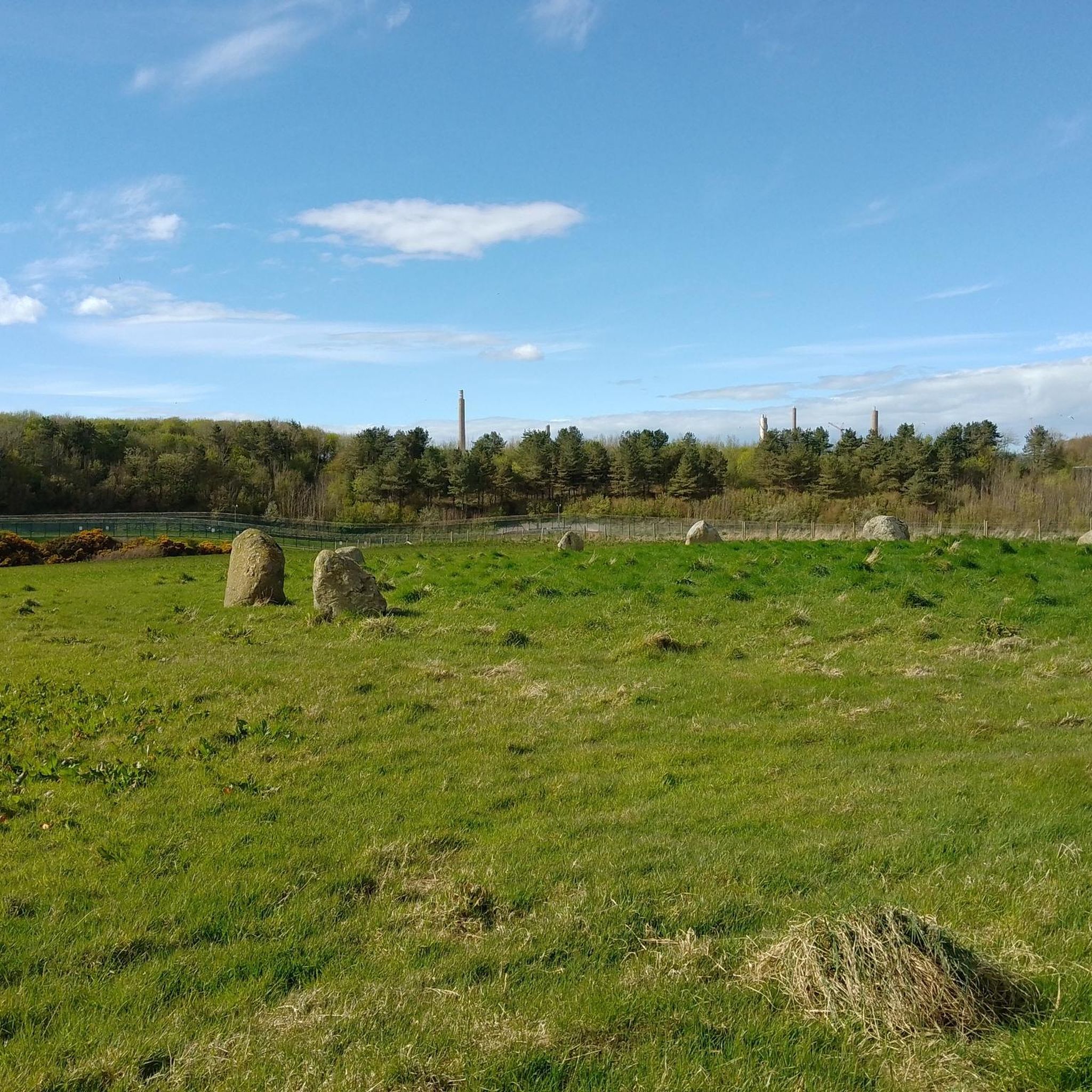
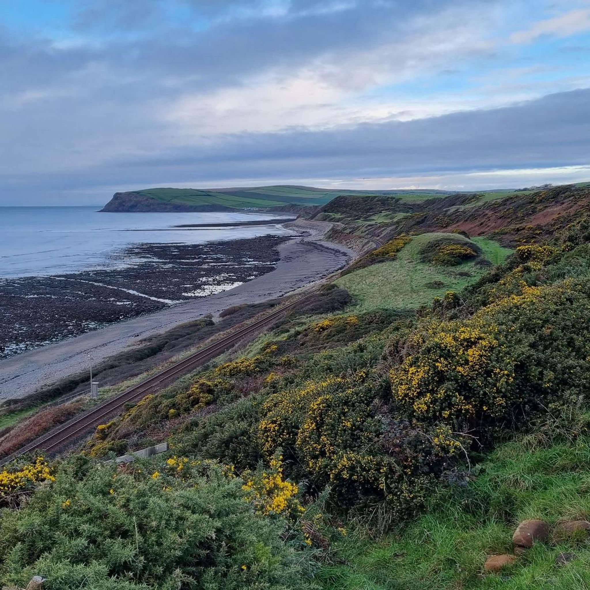
Other adventures around Beckermet

Tips from the Community

This part after the bridge along the railroad is not for biking, and the gate vas impossible to get theoug. We had to lift our bikes over.
0
0

Alas marked as temporarily closed on Google Maps in December 2025. Its been closed for at least 5 weeks.
0
0

If heading north along the coast towards Sellafield follow the track on the seaward side of the railway all the way up to the Calder, then it's a loop under the railway and over the River
0
0


The Main Street with its quaint old houses is always a highlight. Usually combined with a walk past the bathhouse and along the beach
0
0

Absolutely beautiful area, the viaduct is narrow you need to be careful crossing
0
1

Egremont, nestled along the banks of the River Ehen, is a historic market town with a rich industrial legacy encompassing dyeing, weaving, and iron ore mining. Positioned at the base of Uldale Valley and Dent Fell, the town is characterised by a broad Main Street extending into the vibrant market square. Remnants of the 12th-century Norman castle can be found near the market place at the southern end of Main Street. Today, Egremont's economic landscape is anchored in the nuclear industry centered around Sellafield. It lies on NCN 72, Hadrian's Cycleway.
0
0
The vast expanse of the sandy Seascale beach stretches for miles, offering breathtaking vistas that extend across the sea to the Isle of Man and the Galloway mountains.
0
0
Frequently Asked Questions
How many hiking trails are available around Beckermet?
Beckermet offers a wide variety of hiking opportunities, with over 220 routes available. These range from easy coastal strolls to more challenging fell walks, catering to different fitness levels.
What kind of terrain can I expect on hikes near Beckermet?
The terrain around Beckermet is quite diverse. You'll find rugged coastlines, undulating fells shaped by glacial activity, and woodlands. The area also serves as a gateway to the Lake District National Park, offering access to more mountainous landscapes.
Are there any easy, family-friendly walks in Beckermet?
Yes, Beckermet has numerous easy routes suitable for families. For instance, the Seascale Beach loop from Seascale is an easy 2.4-mile coastal walk, often completed in about an hour. Lowther Park also offers short, family-friendly walks through its forest.
Can I bring my dog on hikes around Beckermet?
Many trails around Beckermet are dog-friendly. For example, the circular walk from St Bees to Coulderton along the England Coast Path is known to be suitable for dogs. However, it's always advisable to check local signage for specific regulations, especially concerning livestock or protected wildlife areas, and keep dogs on a lead where necessary.
What are some notable natural features or landmarks to see while hiking?
Beckermet's surroundings are rich in natural beauty and historical sites. You can explore dramatic headlands like St Bees South Head and the scenic Fleswick Bay. Inland, fells such as Crag Fell Summit and Lank Rigg Summit offer panoramic views. You might also encounter historical sites like the Walls Castle Roman Bath House.
Are there any challenging hikes for experienced trekkers?
Yes, for more experienced hikers, there are challenging routes available. The St Bees South Head – Fleswick Bay loop from Egremont is a difficult 24.3 km trail offering significant elevation changes and stunning coastal views. The proximity to the Lake District National Park also means access to England's highest peaks for multi-day routes.
What do other hikers say about the trails in Beckermet?
The hiking routes in Beckermet are highly regarded by the komoot community, holding an average rating of 4.4 stars from over 370 reviews. Hikers often praise the diverse landscapes, from the peaceful coastal paths to the rewarding views from the fells.
Are there any circular walking routes available?
Yes, many of the trails around Beckermet are circular, allowing you to start and end at the same point. An example is the Start Point – Egremont Castle Ruins loop from Egremont, a moderate 5.4-mile path combining coastal scenery with historical landmarks.
How can I get to the hiking trails using public transport?
While specific bus routes to trailheads can vary, Beckermet is situated on the western coast of Cumbria, with train stations in nearby towns like Seascale and Ravenglass. These can provide access points to coastal walks and connections to other areas, though direct public transport to all trailheads might be limited. Planning ahead with local bus schedules is recommended.
Where can I find parking for popular hiking spots like St Bees Head?
Parking facilities are generally available at popular starting points for hikes, including areas near St Bees Head. It's advisable to check local information or specific route descriptions for designated parking areas, which may include car parks near beaches or village centers.
What is the best time of year to hike in Beckermet?
Beckermet offers hiking opportunities year-round. Spring and autumn provide pleasant temperatures and beautiful scenery, with fewer crowds. Summer is ideal for longer days and exploring coastal paths, while winter can offer dramatic, crisp views, though some higher fell routes may require more preparation due to weather conditions.
Are there any cafes or pubs near the hiking trails?
Beckermet and its surrounding villages offer local amenities including cafes and pubs where you can refresh after a hike. Towns like Seascale and Ravenglass, which serve as starting points for several routes, also have options for food and drink.
Most popular attractions around Beckermet

Get inspired with the komoot mobile app


Explore more
Browse the best Hikes in other regions.
