The 7 Most Amazing Peaks around Haiterbach
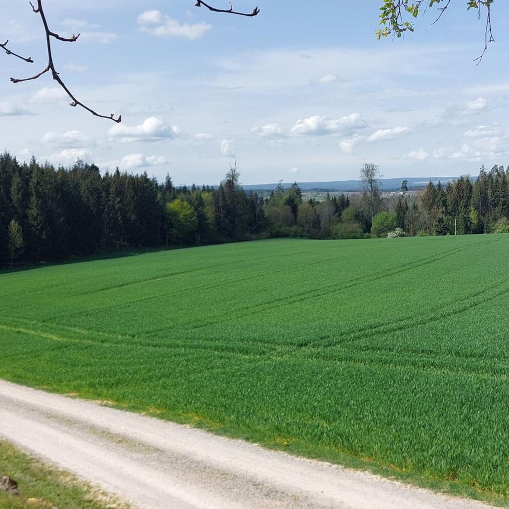
Mountain peaks around Haiterbach are characterized by the scenic landscape of the Northern Black Forest, featuring dense forests, rolling hills, and picturesque valleys. The town itself is situated at elevations ranging from 437 to 634 meters above sea level. This region offers a blend where the Northern Black Forest meets the Heckengäu, creating diverse terrain. The area is ideal for exploring a hilly, forested environment with numerous trails rather than focusing on specific high mountain peaks.
Best mountain peaks around…
Last updated: July 1, 2026
Ottilien Chapel and Schütteturm
Highlight • Religious Site
Translated by Google •
Tip by

View from Eisberg
Highlight • Viewpoint
Translated by Google •
Tip by

Sign up now to discover places like this
Get recommendations on the best single tracks, peaks, & plenty of other exciting outdoor places.
Sign up for free
Ziegel/Steinberg on the 7 Mountains Trail
Highlight • Summit
Translated by Google •
Tip by

Königskanzel Viewpoint
Highlight • Viewpoint
Translated by Google •
Tip by

Wolfsberg (526 m)
Highlight • Summit
Translated by Google •
Tip by
Sign up for free to discover even more peaks around Haiterbach.
Sign up for free
Already have an account?
Start today with a free account
Your next adventure awaits.
Login or Signup
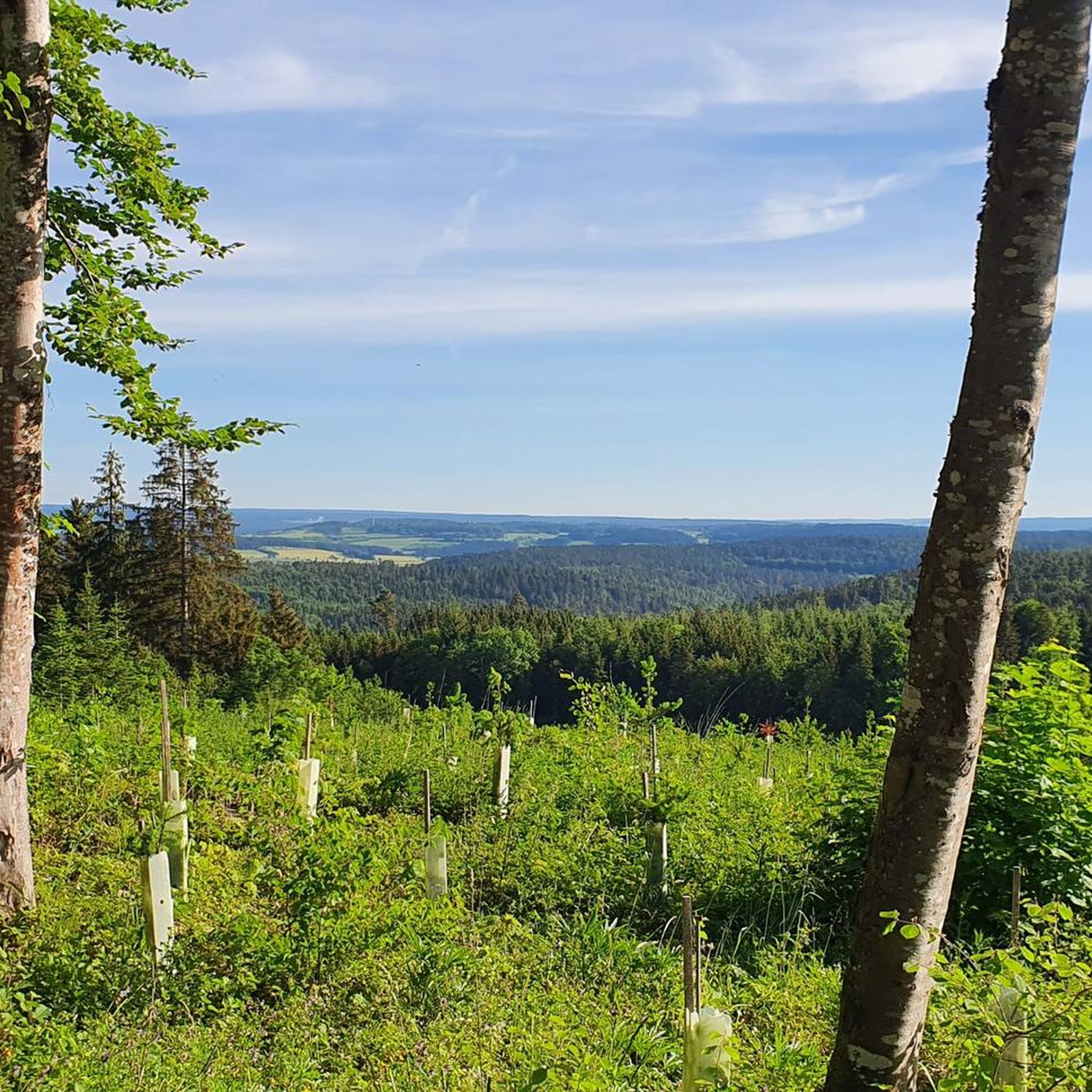
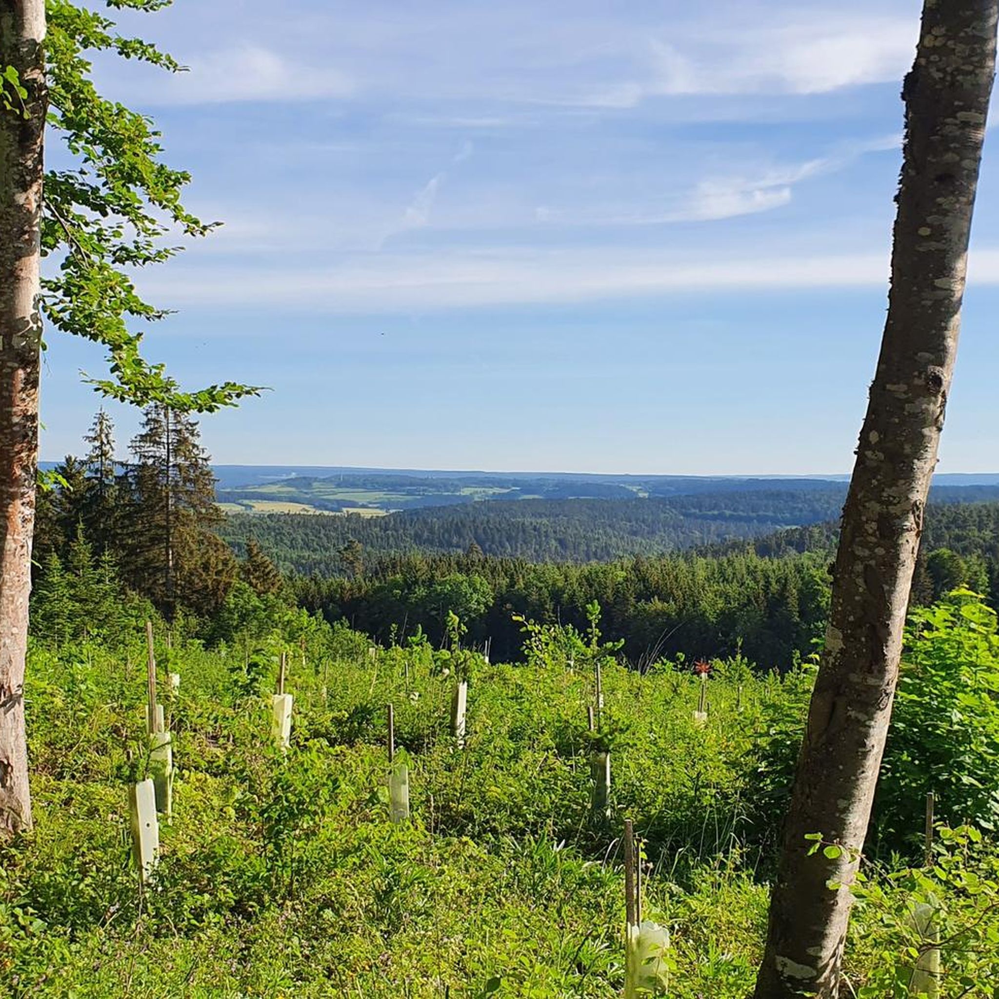
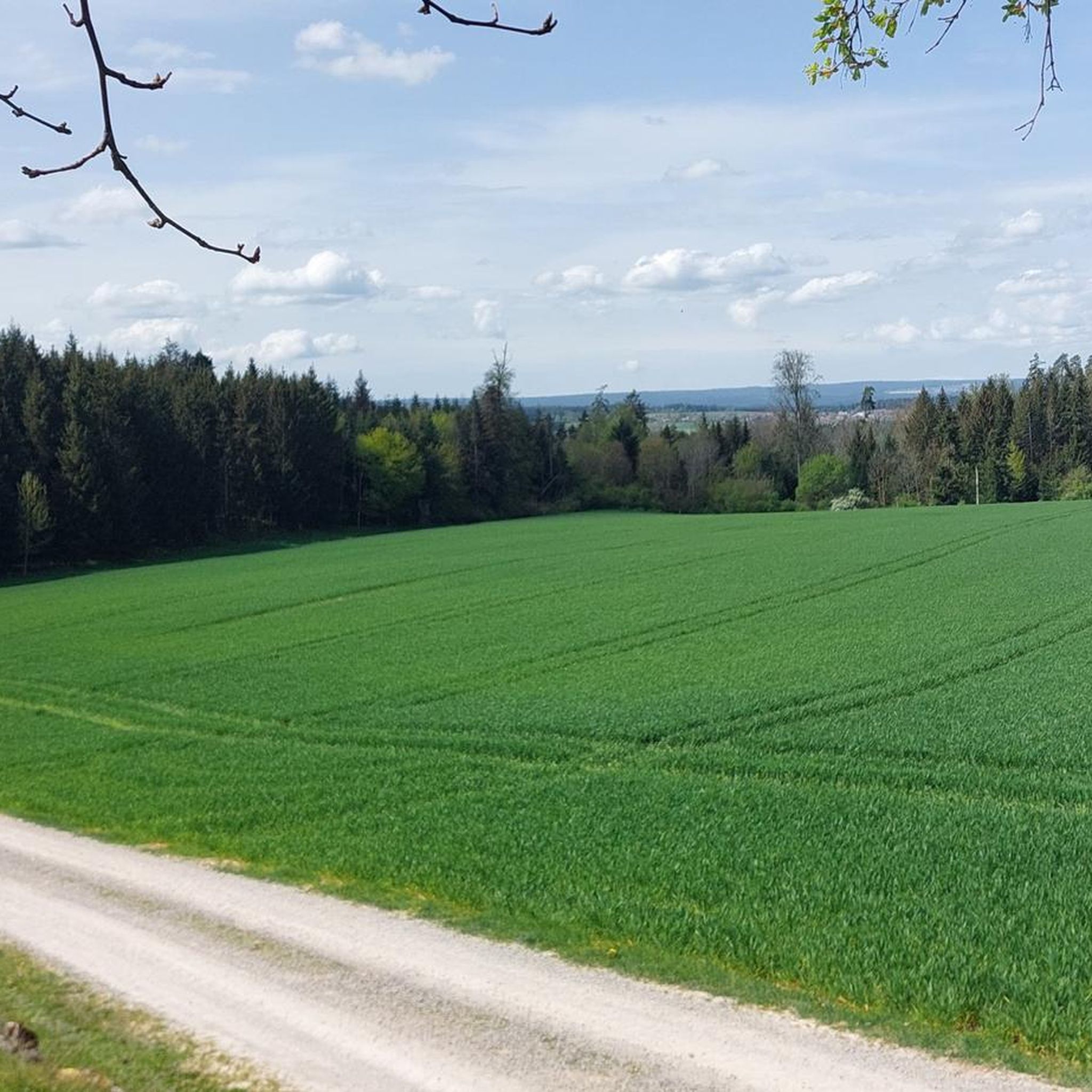
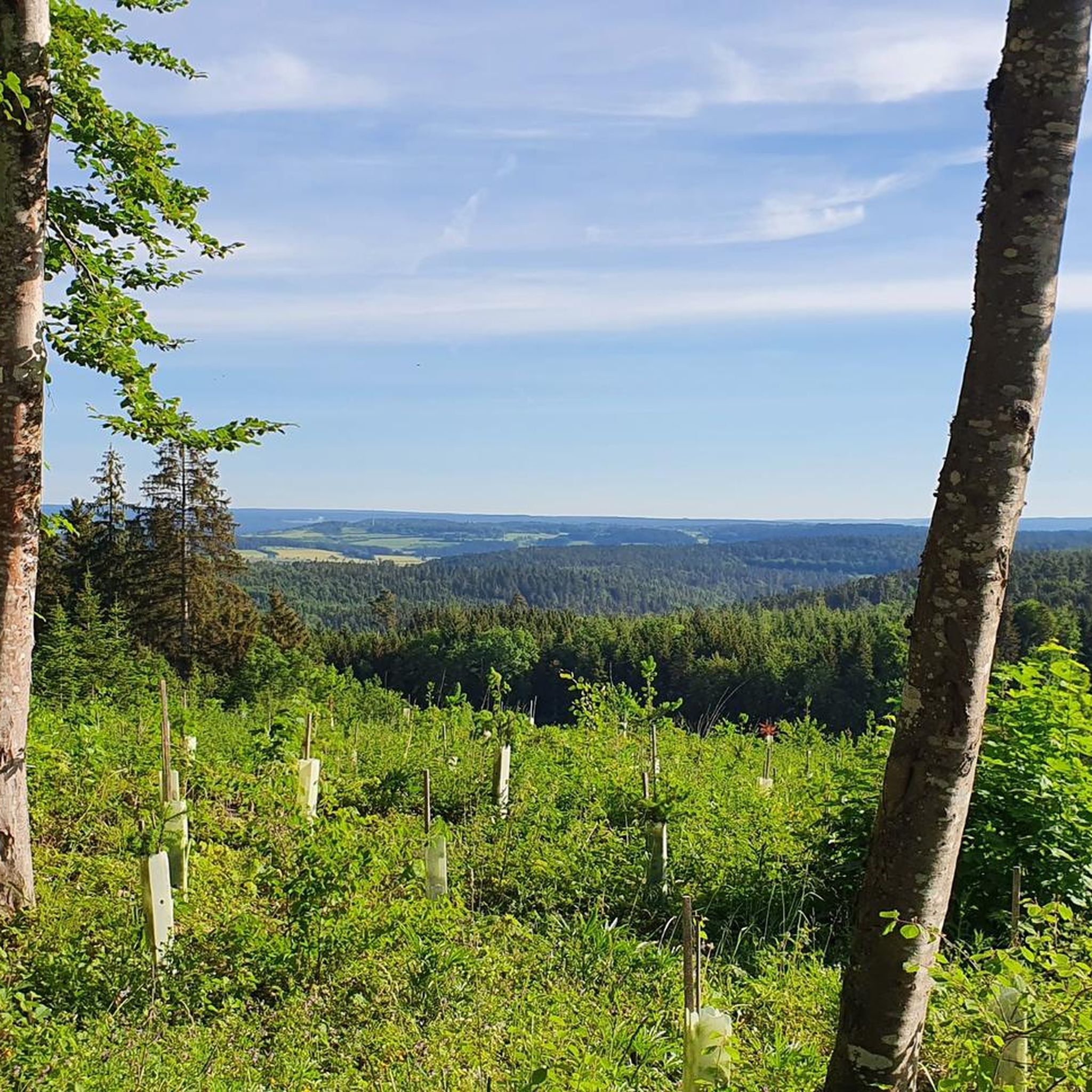

Tips from the Community

There are two sky loungers here and a bench a few meters further on. Right next to it is a large information board for the 7-Berge-Weg. The sheep herd fits the typical Heckengäu landscape.
6
0

The Schütteturm tower over Horb: A panoramic view is the reward for the steep climb via the Stations of the Cross. Those who wish can ring the bells in the Ottilien Chapel – it is next to the tower.
4
0

My wife looks up and says I want to look down 🤷♂️🤪
7
1
The chapel is open. Take your time to read the plaques - they explain the background of the Ottilien Chapel. If you want, you can pull the rope and ring the bells.
17
0

Beautiful viewpoint towards Freudenstadt
1
0

One of the seven mountains on the 7-mountain circuit in Nagold
4
0
One of the seven mountains on the 7-mountain circuit in Nagold
3
0
One of the seven mountains on the 7-mountain circuit in Nagold
2
0
Frequently Asked Questions
What are the most popular viewpoints around Haiterbach?
Visitors particularly enjoy the Königskanzel Viewpoint, which offers expansive views, even allowing sight of the Hornisgrinde on clear days. Another cherished spot is the View of Horb and the Neckar Valley from the Former Kreuzkapelle Site, providing a fantastic panorama of Horb and its surroundings.
Are there any specific summits or peaks to explore near Haiterbach?
While Haiterbach is known for its rolling hills rather than towering peaks, you can explore summits like Ziegel/Steinberg on the 7 Mountains Trail. This summit is part of the 7 Mountains Path, and an information board there details the route. Another peak is Wolfsberg (526 m), which is also one of the seven mountains on the circuit in Nagold.
What kind of natural features can I expect to see in the Haiterbach region?
The region around Haiterbach is characterized by a beautiful blend of the Northern Black Forest and the Heckengäu. You'll find dense forests, picturesque valleys, and rolling hills. The landscape is diverse, with deep forests alternating with open fields and orchards, especially evident in areas like the nature reserve of Egenhäuser Kapf, known for its blooming shrubs and hedges.
Are there family-friendly mountain hikes around Haiterbach?
Yes, many of the trails and viewpoints in the Haiterbach area are suitable for families. The Königskanzel Viewpoint is noted as family-friendly, offering great views. The general landscape of rolling hills and well-maintained paths makes it accessible for various ages. For specific routes, you can explore the 'Hiking around Haiterbach' guide for easy to moderate options.
What historical sites are located near the mountain peaks in Haiterbach?
You can visit the Ottilien Chapel and Schütteturm. The Schütteturm, built in 1422, was an observation tower, and the Ottilienkapelle, erected around 1431, was a place of pilgrimage. Additionally, the Former Kreuzkapelle Site offers historical context with an information board commemorating its history, alongside stunning views.
What outdoor activities can I do near these mountain peaks?
The Haiterbach region is excellent for various outdoor activities, particularly hiking and cycling. You can find numerous trails for different skill levels. For hiking, consider routes like the 'Haiterbacher Kuckucksweg' or sections of the 'Schwarzwaldsteig'. For more options, check out the Hiking around Haiterbach guide. Cycling enthusiasts can explore routes in the Cycling around Haiterbach guide, and there are also options for Gravel biking around Haiterbach.
Are there specific hiking trails that offer good views of the region?
Absolutely. The 'Schwarzwaldsteig' long-distance hiking trail, which passes through Haiterbach territory, offers expansive views of the Black Forest. The 'Haiterbacher Kuckucksweg' is a popular circular route connecting local districts, providing excellent opportunities to experience the local scenery. Additionally, the 'Gäurandweg' offers scenic and varied hiking through diverse landscapes, including deep forests and open fields.
What do visitors enjoy most about the mountain peaks and surrounding area in Haiterbach?
Visitors frequently praise the wide, wonderful views from spots like the Königskanzel Viewpoint. The blend of the Northern Black Forest and Heckengäu, with its mystical valleys and sunny heights, is highly appreciated. The extensive hiking opportunities and the chance to explore a hilly, forested environment with numerous trails are also big draws for the komoot community.
What is the best time to visit Haiterbach for mountain peak exploration?
The region is beautiful throughout the warmer months, typically from spring to autumn, when the trails are clear and the forests are lush. Spring brings blooming flora, while autumn offers vibrant fall colors. While winter hikes are possible, some trails might be challenging due to snow or ice, so checking local conditions is advisable.
Are there any circular mountain walks available near Haiterbach?
Yes, the 'Haiterbacher Kuckucksweg' is a very popular circular route that connects all districts of Haiterbach, providing an excellent way to explore the local area and its natural beauty. Many of the hiking routes listed in the Hiking around Haiterbach guide are also designed as loops, offering varied experiences.
What is the general elevation of the Haiterbach region?
Haiterbach itself is situated at elevations ranging from 437 to 634 meters above sea level. The surrounding landscape consists of rolling hills and forested areas, rather than high-altitude peaks, making for accessible and scenic exploration.
Most popular routes around Haiterbach
Most popular attractions around Haiterbach

Get inspired with the komoot mobile app


Explore more
See even more amazing summits around Haiterbach with these guides:
