The best MTB trails in Kramershai
4.6
(4353)
15,330
riders
294
rides
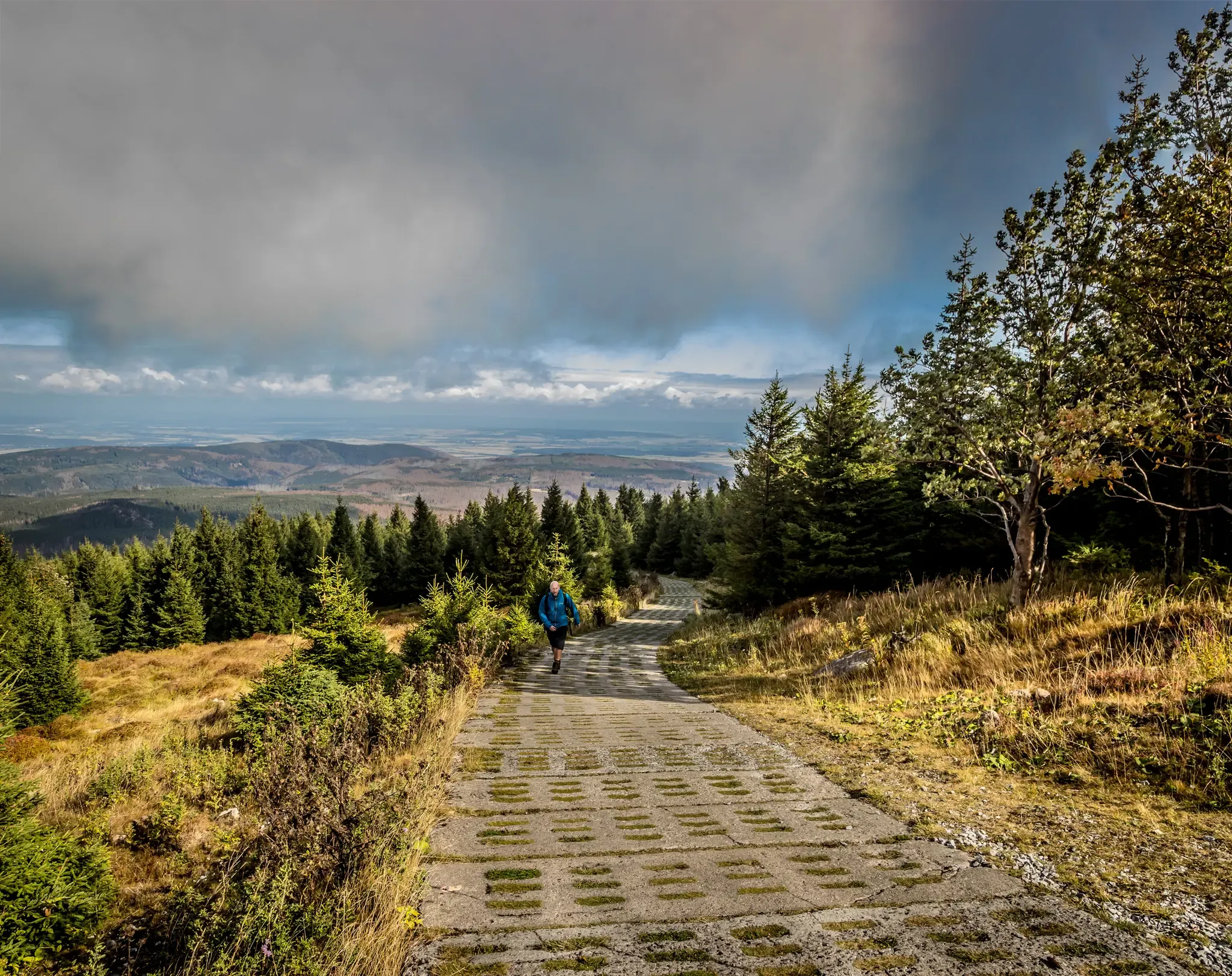
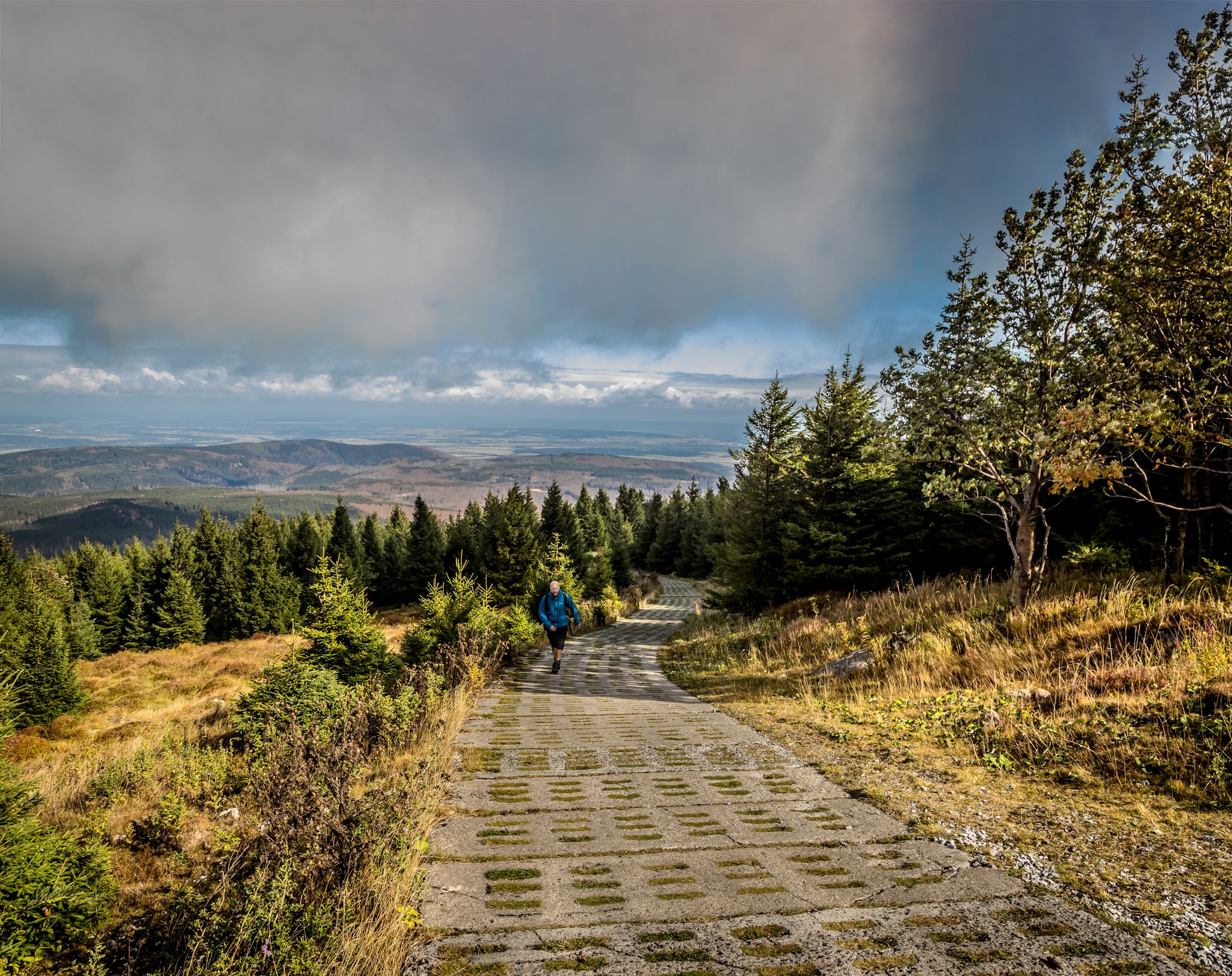
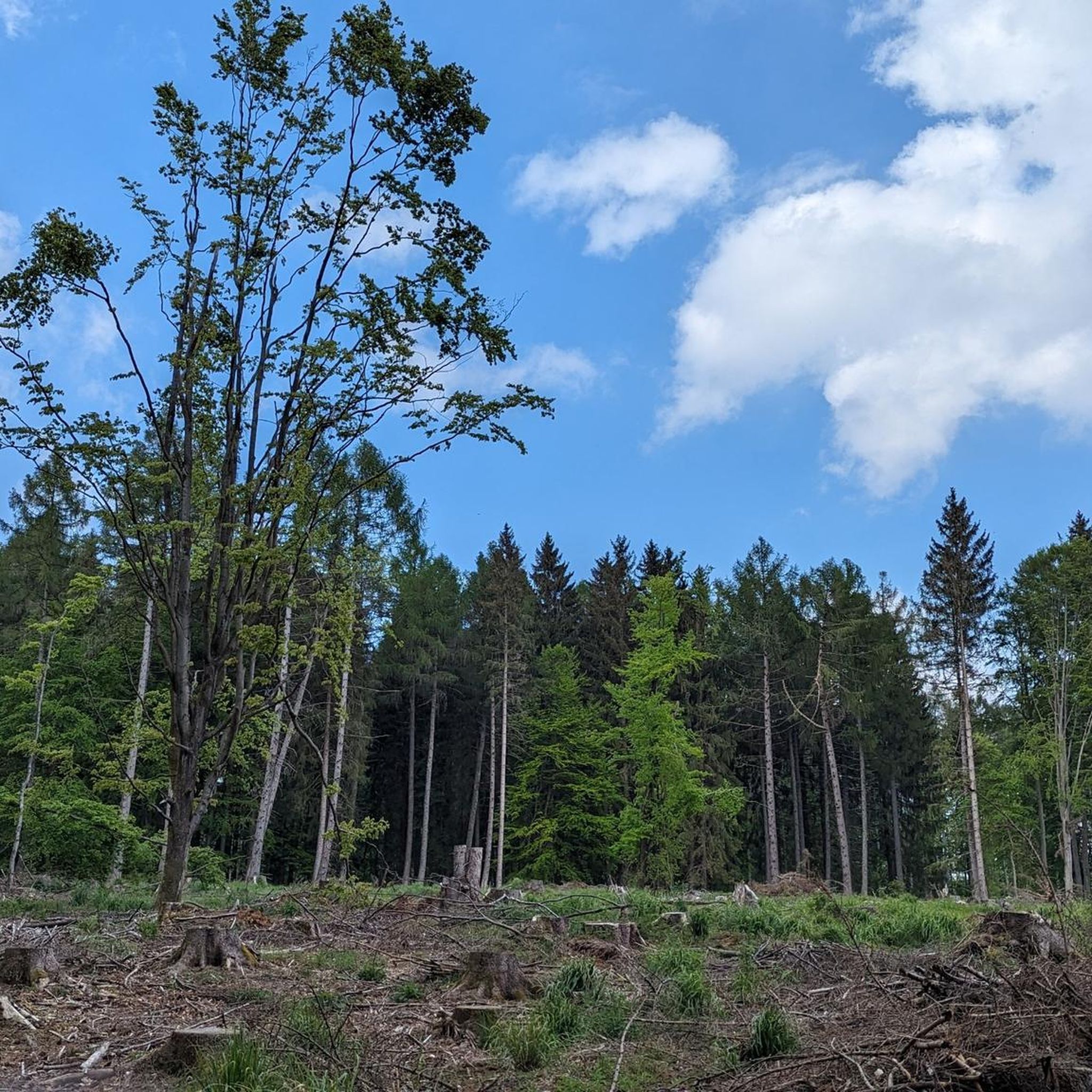
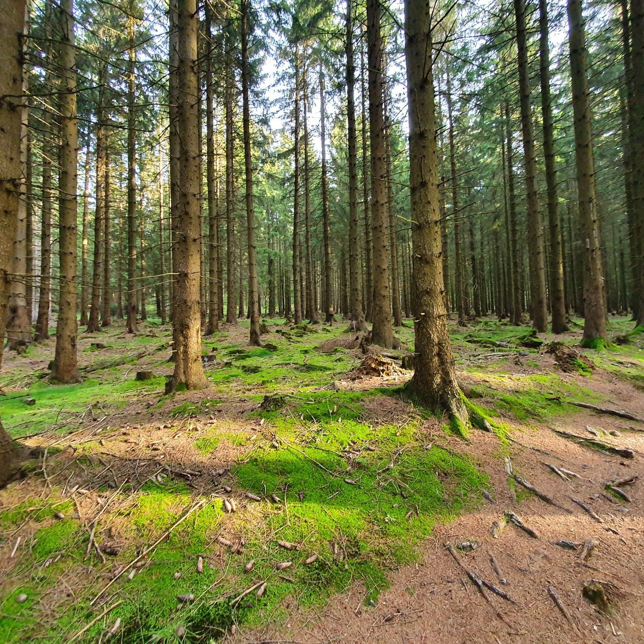
Mountain biking in Kramershai, located within the natural park of Landkreis Harz, offers a diverse landscape for riders. The region is characterized by its mountainous terrain, featuring prominent peaks like Wurmberg and Brocken, alongside scenic river valleys such as the Warme Bode. Riders can expect a mix of forest trails, open mountain paths, and routes that pass by natural features like Silberteich and the Upper Bode Falls. The elevation changes provide varied challenges for mountain bikers.
Best mountain bike trails…
Last updated: October 8, 2026
4.4
(41)
149
riders
Moderate mountain bike ride. Good fitness required. Advanced riding skills necessary.
4.9
(27)
69
riders
53.4km
04:14
1,160m
1,150m
Hard mountain bike ride. Very good fitness required. Advanced riding skills necessary.

4.6
(33)
100
riders
30.8km
02:40
720m
720m
Moderate mountain bike ride. Good fitness required. Advanced riding skills necessary.
4.3
(94)
316
riders
Moderate mountain bike ride. Good fitness required. Advanced riding skills necessary.
4.7
(79)
219
riders
30.9km
02:55
890m
890m
Moderate mountain bike ride. Good fitness required. Advanced riding skills necessary.
Get access to more routes and recommendations from other explorers.
Already have an account?
Our route recommendations are based on thousands of hikes, rides, and runs completed by other people on komoot.
Start today with a free account
Your next adventure awaits.


Tips from the Community

Well-laid route of gravel roads and gravel. Excellent for cycling and beautifully quiet.
1
0

The former GDR watchtower directly on the border with the FRG is still preserved in its original state. 4 x 4 m with small observation windows and the searchlight on the roof.
1
0


Forest path on the warm Bode between Tanne and Braunlage
0
0

Beautiful and quiet trail.
0
0

Sankt Andreasberg is an impressive place between decline and prosperity, a meeting place for the mountain bike scene. It's also the focus of the "Hard Nuts" series.
1
1
Great new unit is fun
1
0
The watercourses used to distribute water for power plants and tunnels are something special here in the Harz
1
0
Frequently Asked Questions
How many mountain bike trails are available in Kramershai?
Kramershai offers a wide network of over 300 mountain bike trails. These routes cater to various skill levels, from easier paths to more challenging climbs, ensuring a diverse experience for all riders.
What are the typical difficulty levels for mountain biking in Kramershai?
The trails in Kramershai are categorized into various difficulty levels. You'll find approximately 40 easy routes, over 160 moderate routes, and nearly 100 difficult routes, providing options for beginners to experienced mountain bikers.
What kind of terrain can I expect when mountain biking in Kramershai?
Kramershai, situated within the natural park of Landkreis Harz, features diverse terrain. Riders can expect mountainous landscapes with prominent peaks like Wurmberg and Brocken, scenic river valleys such as the Warme Bode, and a mix of forest trails and open mountain paths. The elevation changes offer varied challenges.
Are there any circular mountain bike routes in Kramershai?
Yes, many of the mountain bike routes in Kramershai are designed as loops, allowing you to start and finish at the same point. For example, the Brocken Summit – Brockenstraße loop from Braunlage is a popular circular option.
What do other mountain bikers enjoy most about the trails in Kramershai?
The mountain bike trails in Kramershai are highly rated by the komoot community, with an average score of 4.6 stars from over 3,800 reviews. Riders often praise the diverse terrain, the stunning views of peaks like Wurmberg and Brocken, and the well-maintained paths that navigate through dense woodlands and along river valleys.
Are there any family-friendly mountain bike trails in Kramershai?
While specific 'family-friendly' designations aren't always explicit, Kramershai does offer approximately 40 easy routes that are generally suitable for families or those looking for a less strenuous ride. These trails often feature gentler gradients and smoother surfaces.
Can I bring my dog on the mountain bike trails in Kramershai?
Many trails in natural areas like Kramershai are dog-friendly, especially if your dog is well-behaved and kept on a leash. However, it's always advisable to check local regulations or specific trail signage, particularly within the natural park of Landkreis Harz, to ensure compliance.
What natural features or landmarks can I see along the mountain bike trails?
Mountain biking in Kramershai offers opportunities to see several natural features and landmarks. Routes often pass by the Root Trail on the Harzer-Hexen-Stieg, the Silberteich, and the Upper Bode Falls. You can also enjoy views of prominent peaks like Wurmberg and Brocken.
Are there any historical sites or points of interest near the mountain bike routes?
Yes, some routes in Kramershai pass by significant historical sites. For instance, you might encounter the German-German Border Monument Brehmke or sections of the Former Death Strip (Border Trail), offering a glimpse into the region's past.
Where can I find parking for mountain biking in Kramershai?
Many mountain bike routes in Kramershai, particularly those starting from towns like Braunlage, offer designated parking areas. It's common for trailheads to have parking facilities, but checking specific route details on komoot or local signage is recommended for the most accurate information.
Are there any routes that offer views of the Brocken summit?
Absolutely. Several routes provide excellent views of the Brocken summit. A notable option is the Brocken Summit – View of the Eckertalsperre loop from Elendstal, which offers expansive vistas of the iconic peak.
What is a good moderate-difficulty route for mountain biking in Kramershai?
For a moderate challenge, consider the Silberteich – Alberti Lift Mountain Station loop from Braunlage. This 19.3-mile (31.0 km) path navigates through forested areas and past the Silberteich, with ascents towards the Alberti Lift Mountain Station.
Most popular routes in Kramershai
Most popular attractions in Kramershai

Get inspired with the komoot mobile app


Explore more
Browse the best MTB trails in other regions.
