The best running trails in Kramershai
4.6
(503)
6,672
runners
373
runs
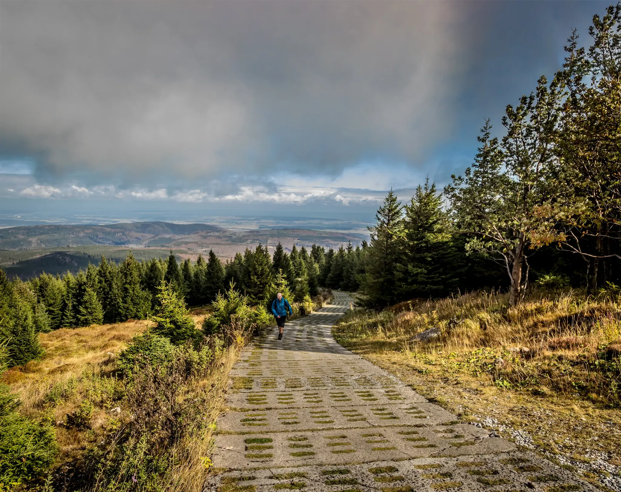
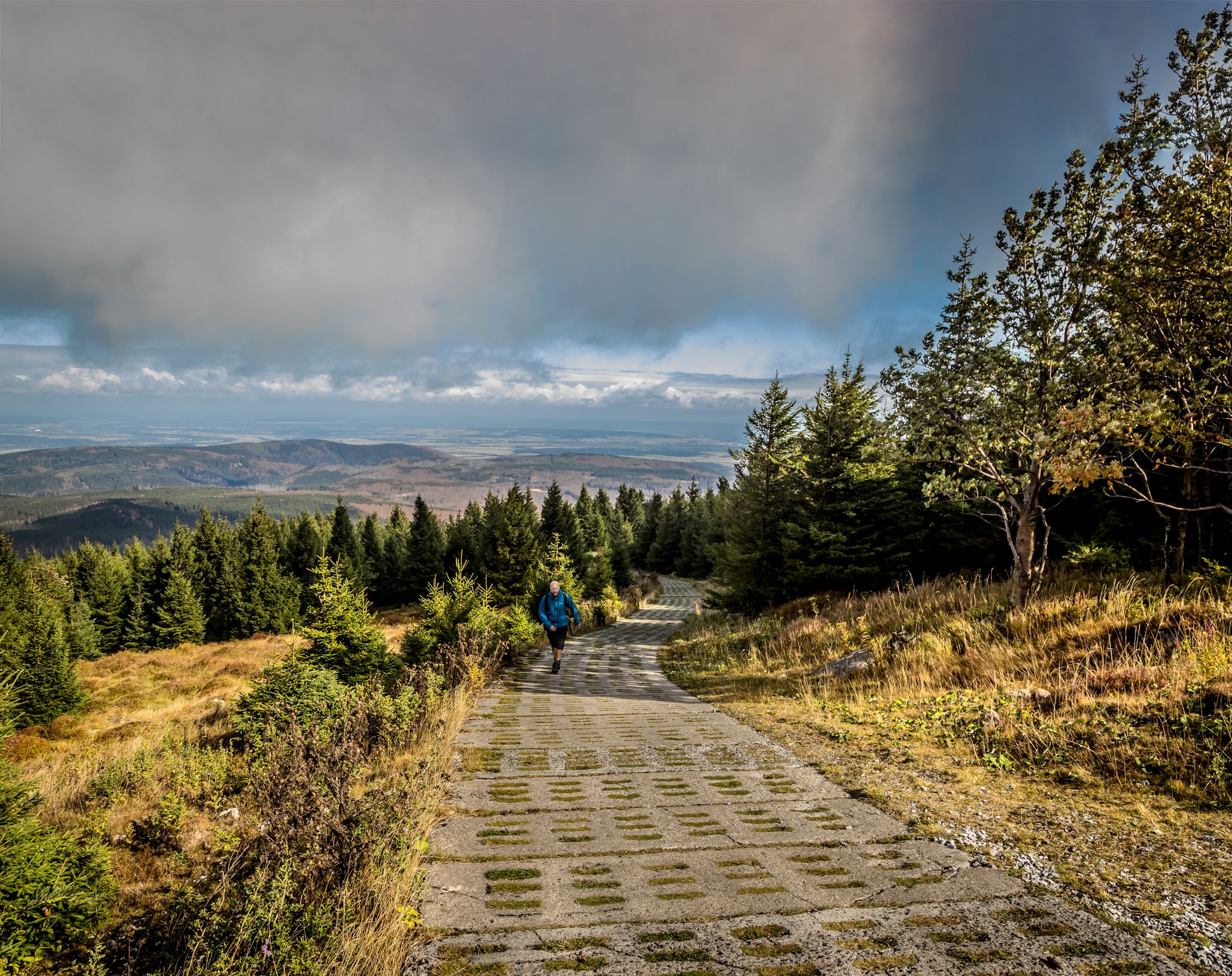
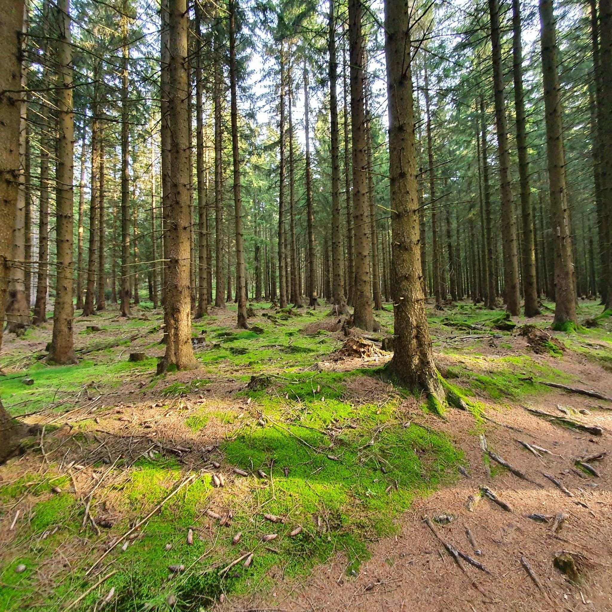
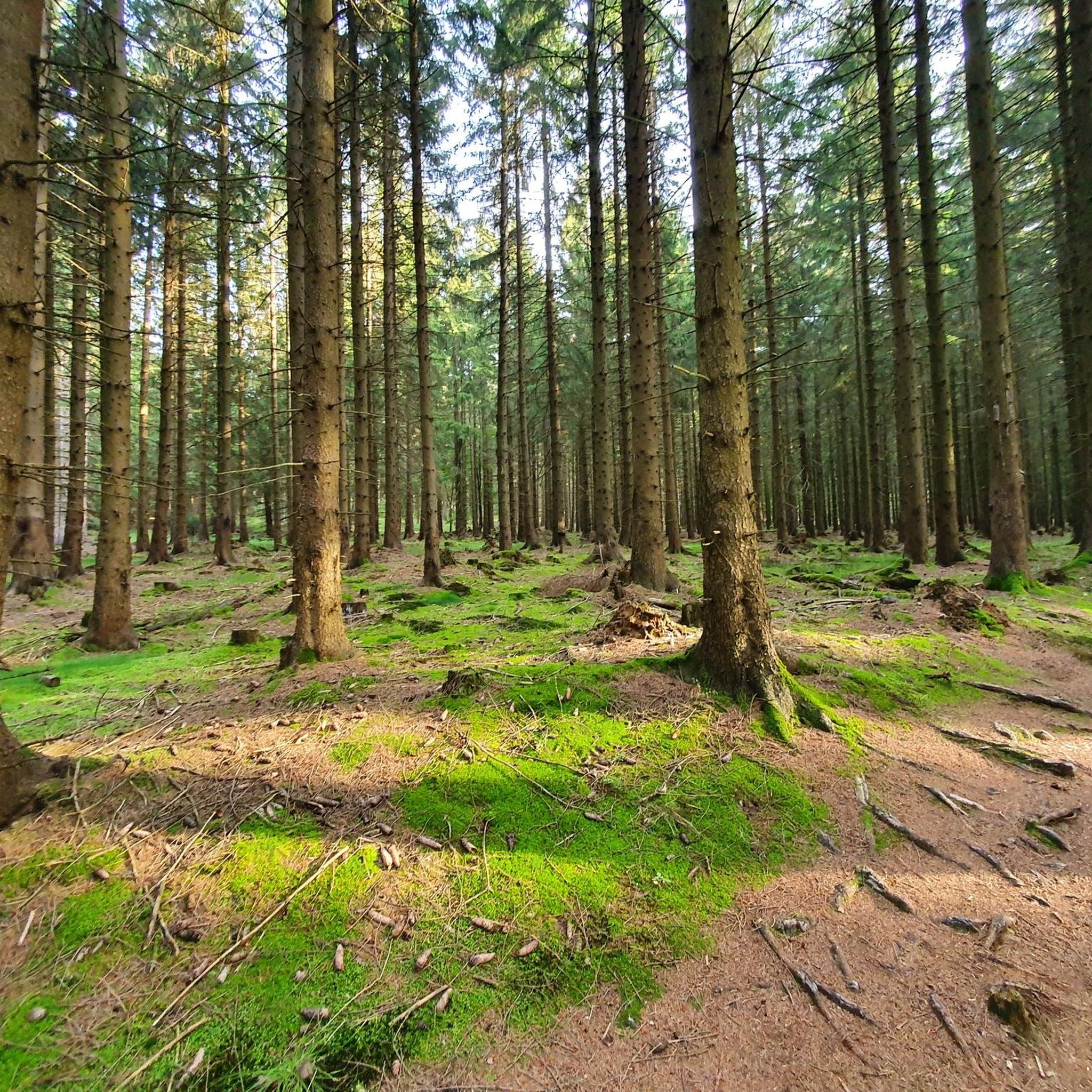
Jogging routes in Kramershai offer a diverse landscape for runners, primarily characterized by the forested hills and valleys of the Harz Mountains. The region features significant elevation changes, with routes leading to prominent summits like Wurmberg and Brocken. Running trails near Kramershai Germany often traverse dense woodlands and provide views over the surrounding natural environment. This area provides a variety of running experiences, from challenging mountain ascents to more moderate forest paths.
Best jogging routes in Kramershai
- The most popular…
Last updated: September 30, 2026
5.0
(6)
45
runners
8.49km
01:08
420m
420m
Hard run. Very good fitness required. Mostly paved surfaces. Suitable for all skill levels.
22
runners
20.9km
02:35
790m
790m
Hard run. Very good fitness required. Sure-footedness, sturdy shoes and alpine experience required.

4.8
(18)
433
runners
18.1km
02:07
520m
530m
Hard run. Very good fitness required. Mostly paved surfaces. Suitable for all skill levels.
4.5
(15)
160
runners
17.1km
02:08
520m
520m
Hard run. Very good fitness required. Sure-footedness, sturdy shoes and alpine experience required.
5.0
(2)
119
runners
14.6km
01:50
420m
420m
Hard run. Very good fitness required. Mostly paved surfaces. Suitable for all skill levels.
Get access to more routes and recommendations from other explorers.
Already have an account?
Our route recommendations are based on thousands of hikes, rides, and runs completed by other people on komoot.
Start today with a free account
Your next adventure awaits.
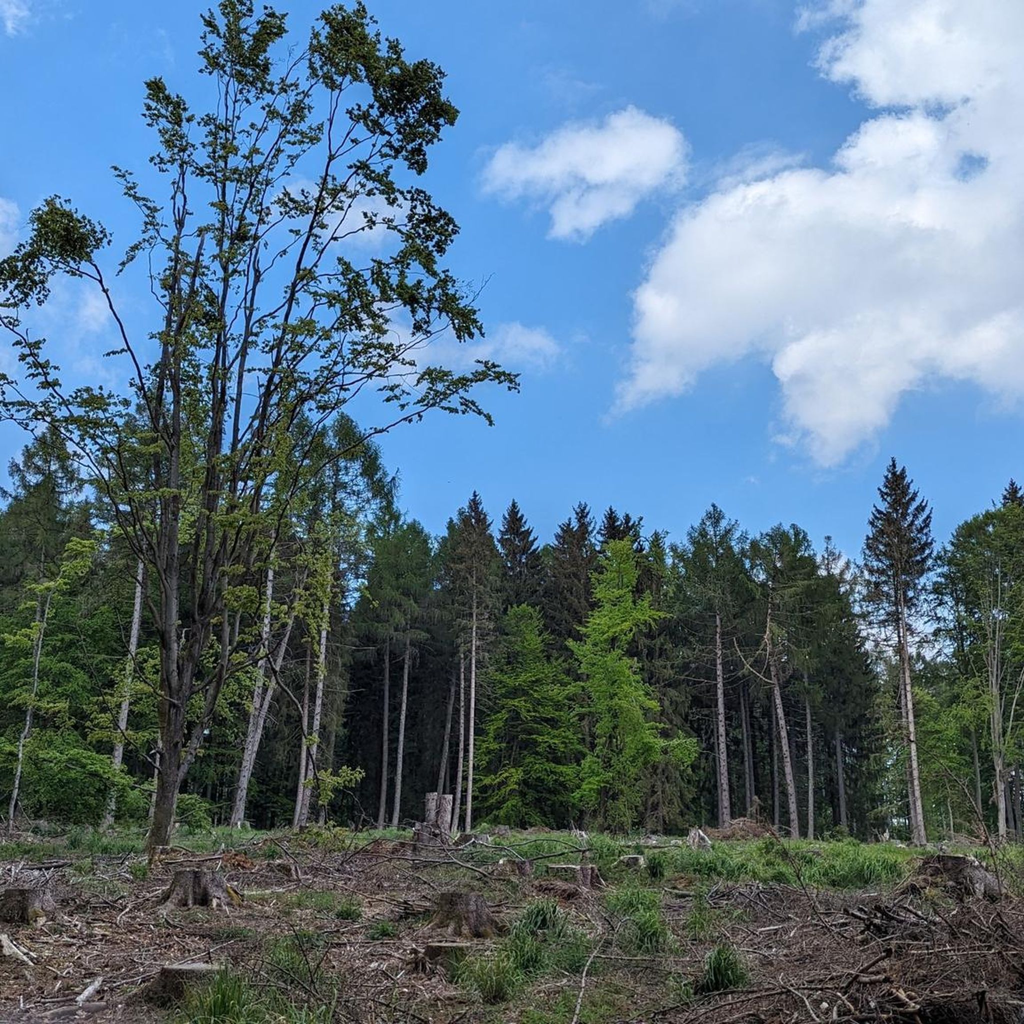
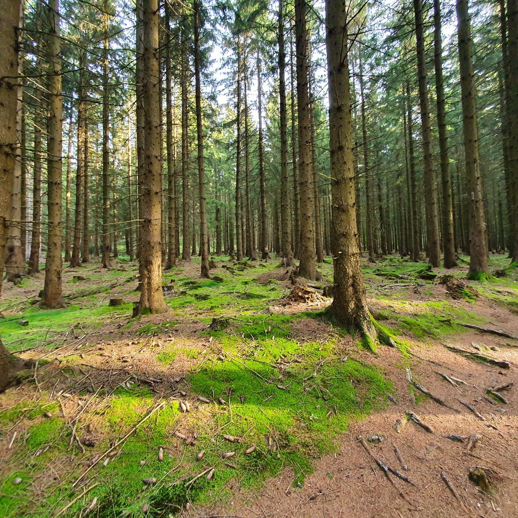
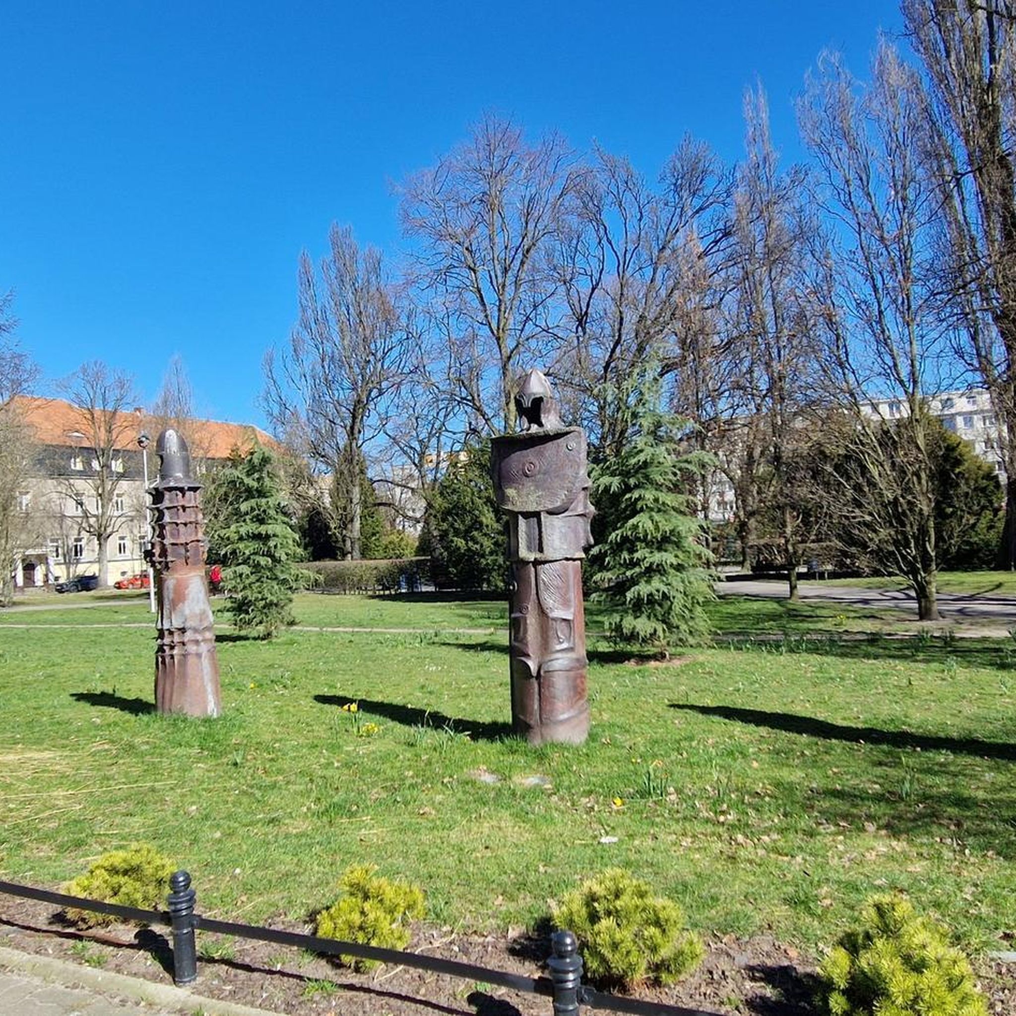
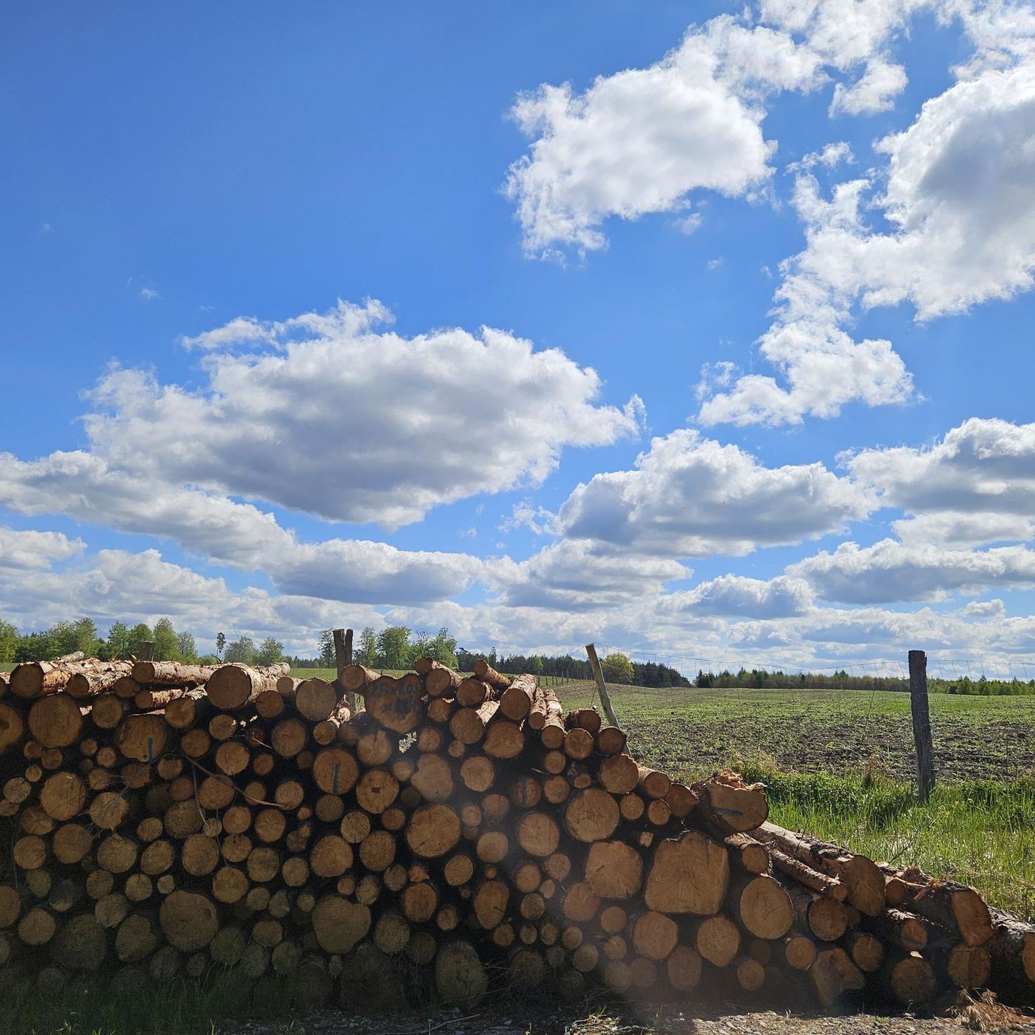


Tips from the Community

Visit the Wurmberg cable car middle station
0
0

very nice for mountain biking
0
0

Located at 740 meters. If there is not enough snow in the valley, then this is the end of skiing.
1
0

375 steps lead up this staircase to Wurmberg
8
1

Beautiful hiking trail along the narrow-gauge railway. Easy to walk, relatively flat. Every now and then there are a few larger stones. It's wonderful when the narrow-gauge railway comes towards you.
0
0

The million dollar grave of Wernigerode.
10
1

The Rodelhaus is nearby and is a good place to stop for a rest. https://rodelhaus.info/#haus
1
0
Frequently Asked Questions
How many running routes are available in Kramershai?
Kramershai offers a wide selection of nearly 370 running routes. These trails cater to various preferences, ranging from easy paths to challenging mountain ascents through the forested hills of the Harz Mountains.
Are there running routes for all skill levels in Kramershai?
Yes, Kramershai provides a diverse range of running experiences. You'll find 18 easy routes, 210 moderate trails, and 140 difficult paths, ensuring options for beginners and experienced runners alike.
What do other runners enjoy most about the trails in Kramershai?
The running trails in Kramershai are highly regarded by the komoot community, boasting an average rating of 4.5 out of 5 stars from over 330 reviews. Runners frequently praise the varied terrain, from moderate forest paths to demanding mountain climbs, and the scenic views over the surrounding natural environment.
Are there any circular running routes in Kramershai?
Yes, many of the running routes in Kramershai are circular, allowing you to start and finish at the same point. An example of a challenging circular route is the Wurmberg Summit – Braunlage Bike Park on the Wurmberg loop from Kramershai, which covers 5.2 miles (8.4 km) with significant elevation gain.
What kind of terrain can I expect on the running trails in Kramershai?
The terrain in Kramershai is primarily characterized by the forested hills and valleys of the Harz Mountains. You can expect trails that traverse dense woodlands, offer significant elevation changes, and lead to prominent summits like Wurmberg and Brocken, providing a mix of challenging ascents and varied paths.
Are there any long-distance running options in Kramershai?
For those seeking longer runs, Kramershai offers several extended routes. A notable difficult option is the Wurmberg Middle Station – Staircase at the ski jump ramp loop from Kramershai, which spans 14.0 miles (22.5 km) and features substantial climbs through varied terrain.
Can I find running routes that lead to mountain summits?
Absolutely. Kramershai is situated in a region with prominent mountain summits. You can find routes like the Brocken Summit (1,142 m) – VP4 Trans Harz at kilometer 55 loop from Schierke, a 7.8 miles (12.6 km) trail that takes you through stunning mountain landscapes.
Are there any moderate running trails for a less strenuous experience?
Yes, while Kramershai is known for its challenging mountain trails, there are also moderate options. For example, the Silberfuchsfarm Pond – View of the Warm Bode Valley loop from Braunlage is a moderate 6.8 miles (10.9 km) route that offers beautiful views with less extreme elevation changes.
What are some interesting landmarks or sights I can see along the running routes in Kramershai?
While running in Kramershai, you can encounter several points of interest. Consider exploring the Descent from Elend to Braunlage, the historical German-German Border Monument Brehmke, or the unique Root Trail on the Harzer-Hexen-Stieg. These highlights add cultural and natural intrigue to your run.
Are there any historical sites along the running trails?
Yes, the region around Kramershai has historical significance. You can run along parts of the Former Death Strip (Border Trail), which offers a poignant glimpse into recent history while enjoying the natural surroundings.
Are there any running routes that offer views of valleys?
Many routes in Kramershai traverse varied terrain that includes scenic valleys. The Silberfuchsfarm Pond – View of the Warm Bode Valley loop from Braunlage is a great example, providing picturesque views of the Warm Bode Valley during your run.
Can I find routes that are part of larger trail networks?
Yes, some running routes in Kramershai connect to or are part of broader trail networks, such as sections of the Harzer-Hexen-Stieg. This allows for diverse running experiences and the opportunity to explore different parts of the Harz Mountains.
Most popular routes in Kramershai
Most popular attractions in Kramershai

Get inspired with the komoot mobile app


Explore more
Browse the best Running Trails & Routes in other regions.
