The best mountain hikes in Kramershai
4.9
(93)
353
hikers
41
hikes
Mountaineering routes in Kramershai traverse a region characterized by varied terrain, including prominent summits like Wurmberg and Brocken, and distinct rock formations such as Mäuseklippen. The landscape features a mix of challenging trails and more accessible paths, often leading through forested areas and valleys. The area offers a range of elevation changes suitable for different mountaineering abilities.
Best mountaineering routes in Kramershai
- The most popular mountaineering route is Wurmberg Summit – Große Wurmbergschanze Stairs loop from Kramershai, a 2.8…
Last updated: September 29, 2026
5.0
(1)
4
hikers
4.66km
01:36
250m
250m
Easy mountaineering route. Great for any fitness level. Easily-accessible paths. Suitable for all skill levels.
3
hikers
Easy mountaineering route. Great for any fitness level. Easily-accessible paths. Suitable for all skill levels.

4.9
(23)
87
hikers
12.7km
04:10
530m
530m
Moderate mountaineering route. Good fitness required. Mostly accessible paths. Sure-footedness required.
4.9
(7)
28
hikers
16.6km
05:04
520m
520m
Hard mountaineering route. Very good fitness required. Mostly accessible paths. Sure-footedness required.
5.0
(2)
5
hikers
6.85km
02:12
270m
280m
Hard mountaineering route. Good fitness required. Sure-footedness, sturdy shoes and alpine experience required.
Get access to more routes and recommendations from other explorers.
Already have an account?
Our route recommendations are based on thousands of hikes, rides, and runs completed by other people on komoot.
Start today with a free account
Your next adventure awaits.
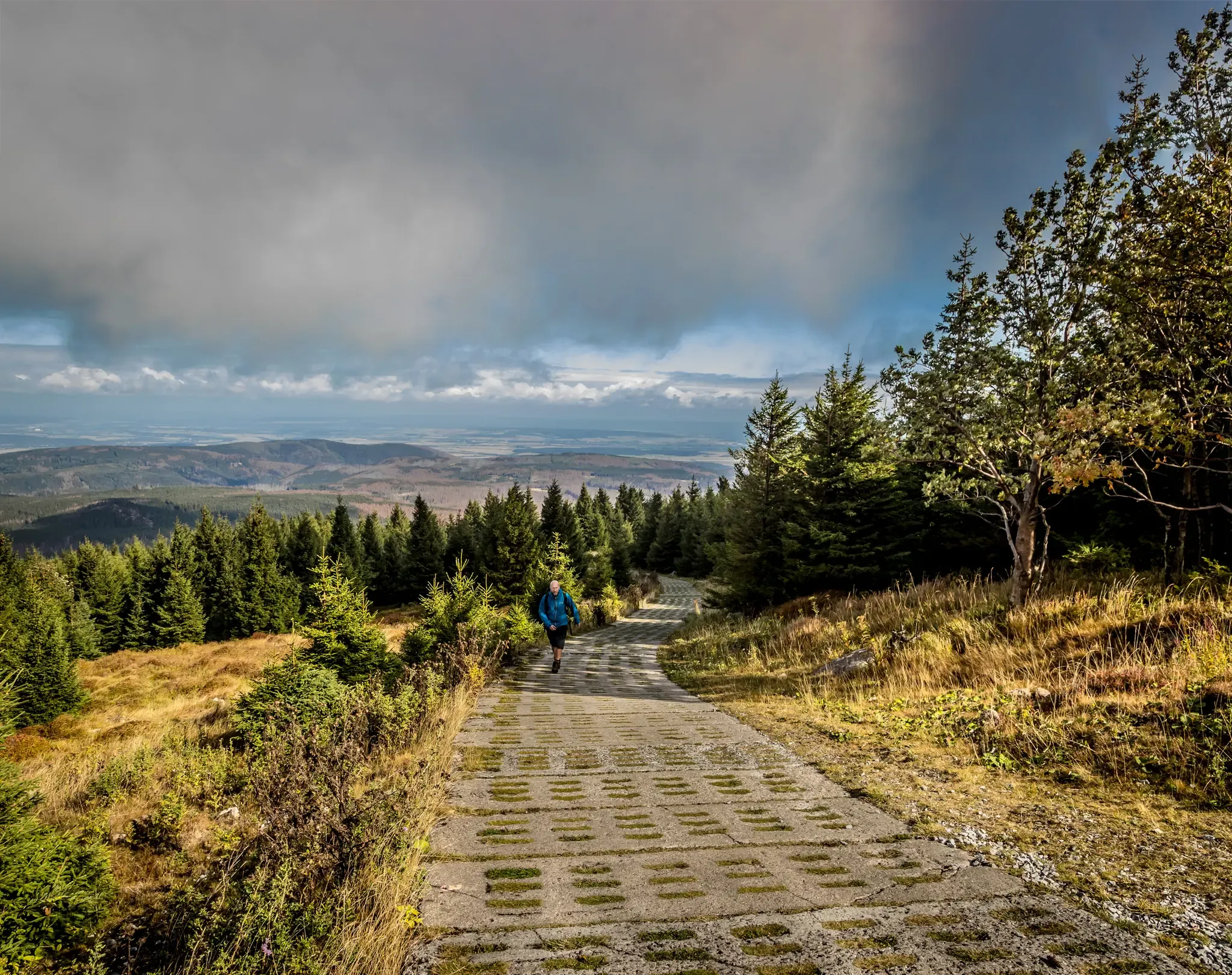
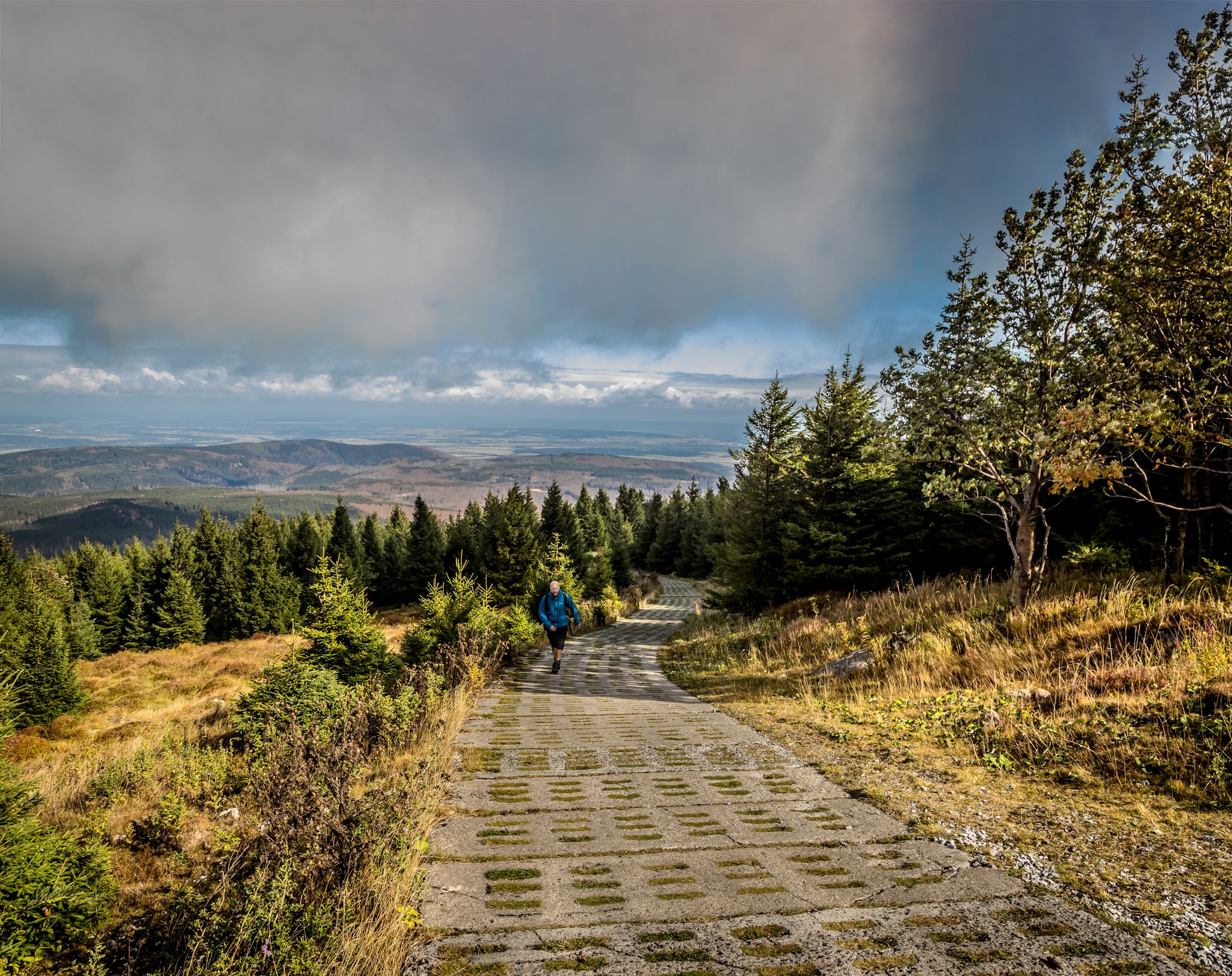
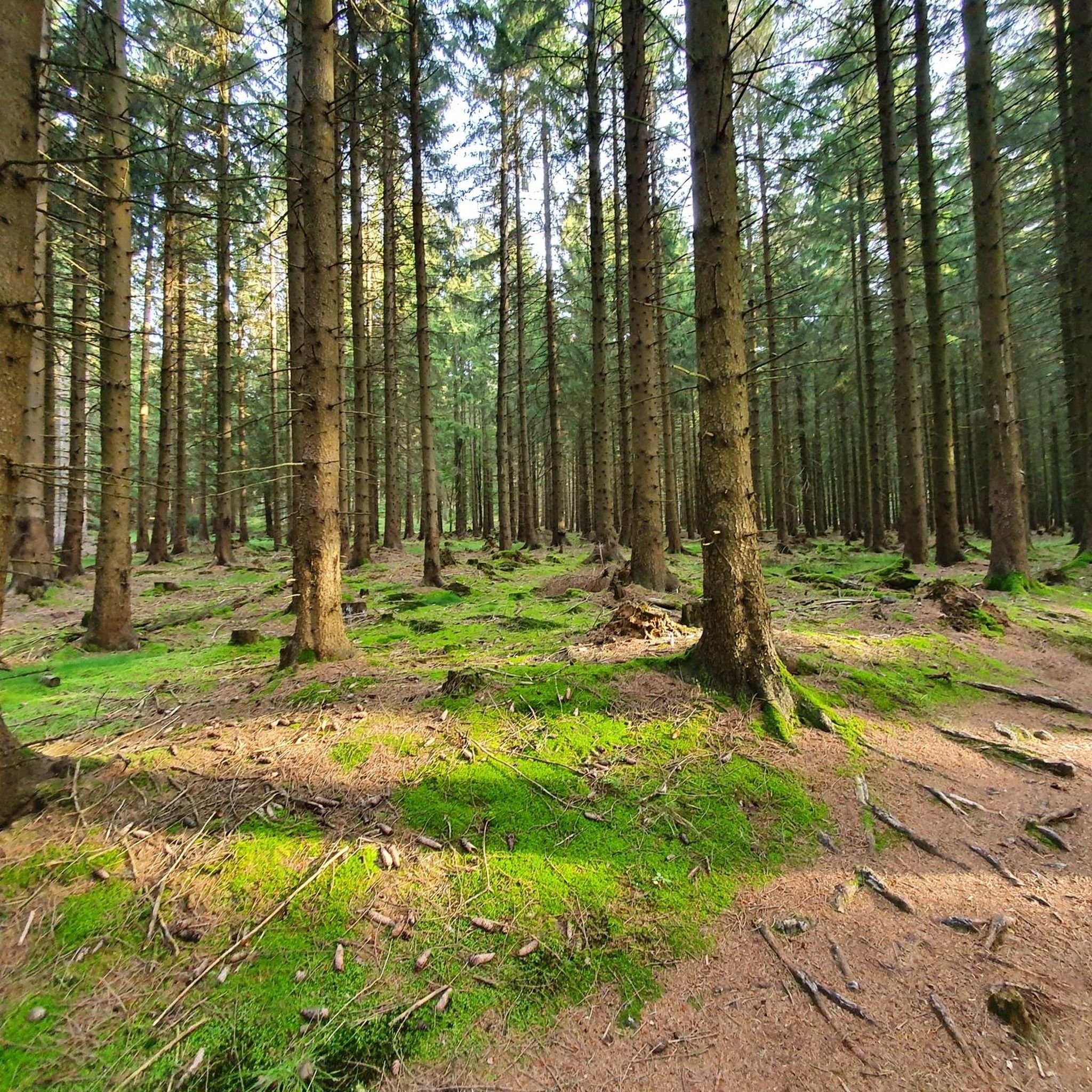
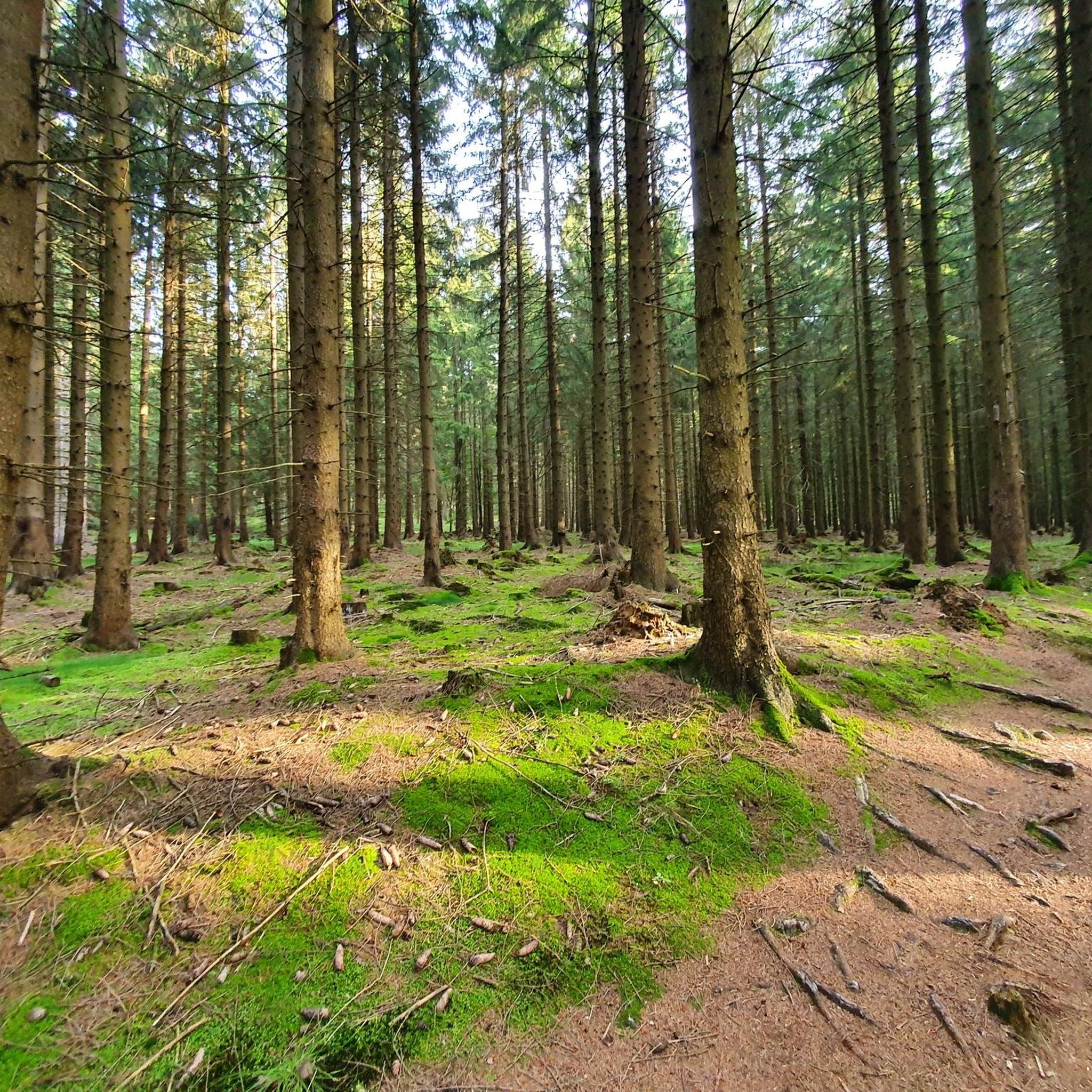
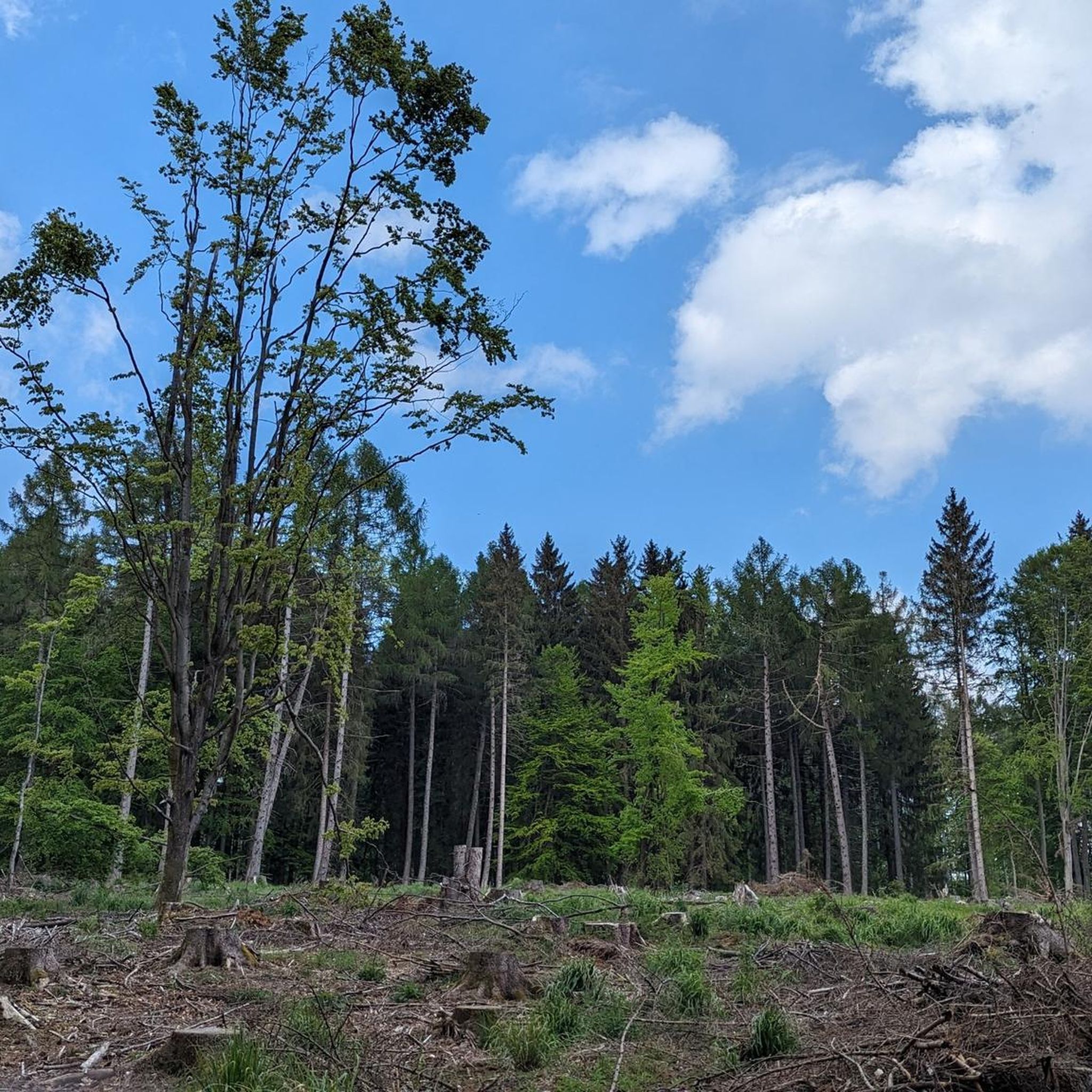
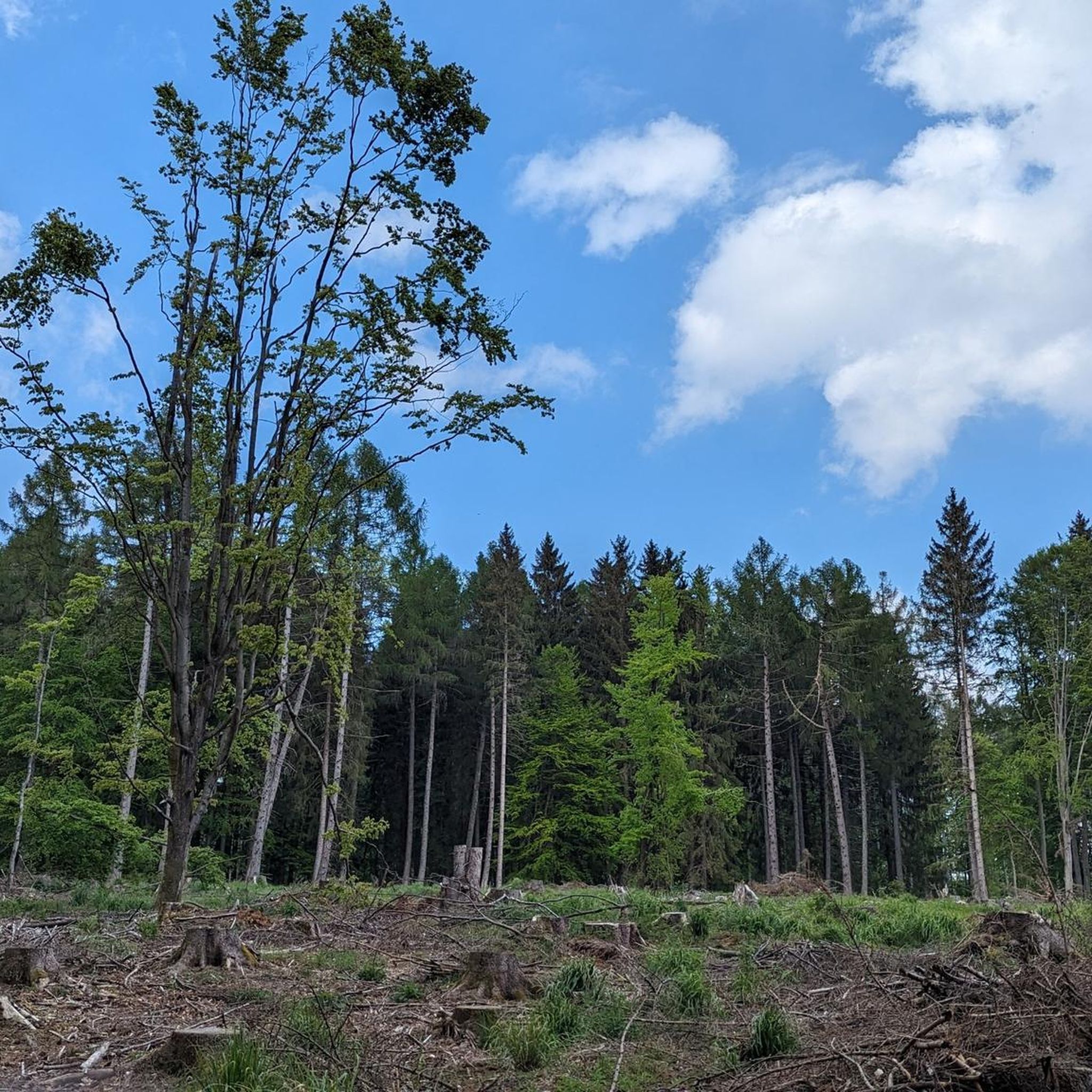
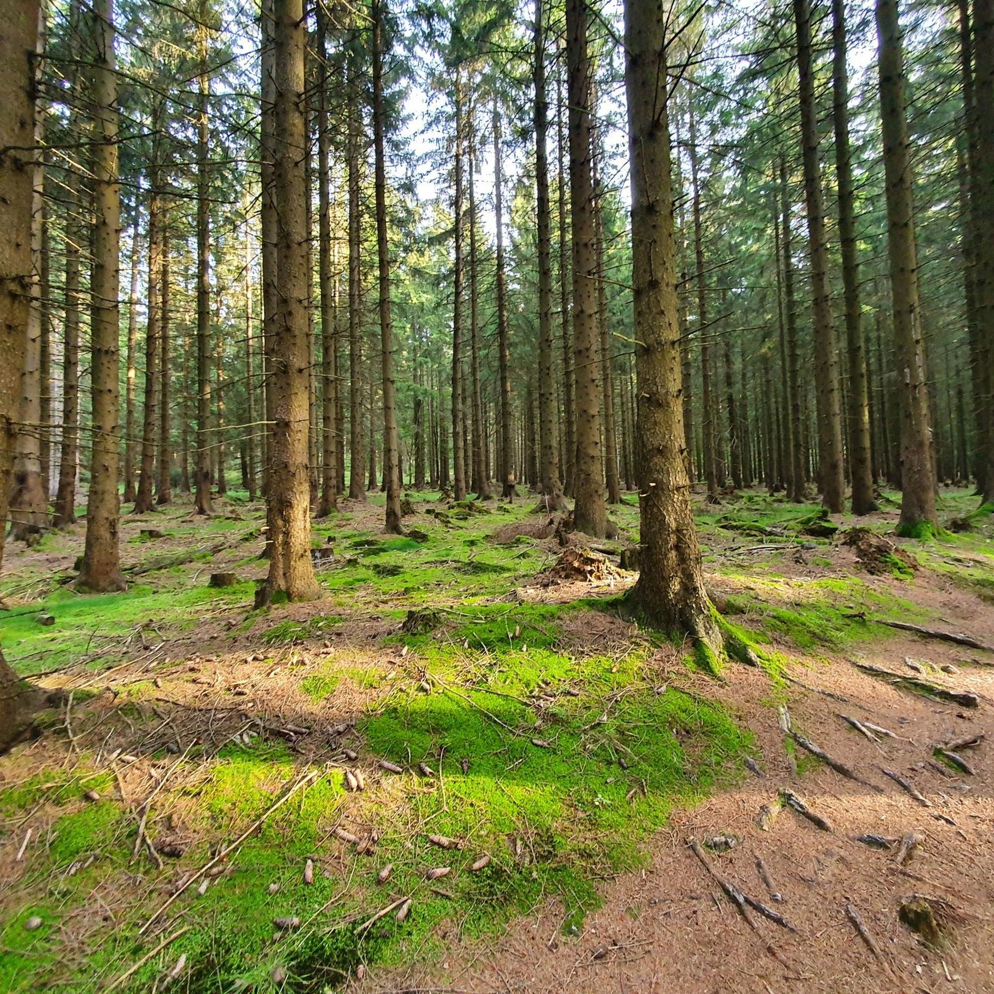
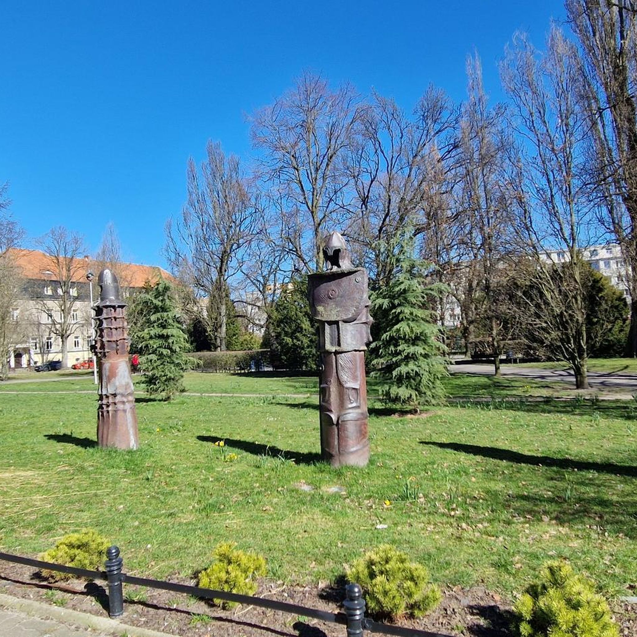


Tips from the Community

If you want it to be more strenuous, you can also use the adjacent serpentine path.
0
0

The tower offers an impressive view, and the service is also excellent.
3
0

Beautiful view, can really be recommended.
0
0


a little off the path, at a viewpoint, view of Elend
0
0
There's no longer a ski lift here on the Wurmberg, but the judge's house is still there. 🤔 #Wurmberg #Skilift #Judge's House #Memories #Winter
0
0

Braunlage Wurmberg mountain station
0
0

It's great that you can climb the cliffs.
3
0
Frequently Asked Questions
How many mountaineering routes are available in Kramershai?
Kramershai offers a diverse selection of over 40 mountaineering routes. These range from easy paths suitable for beginners to more challenging ascents for experienced mountaineers.
What kind of terrain can I expect on mountaineering routes in Kramershai?
The mountaineering routes in Kramershai traverse varied terrain, including prominent summits like Wurmberg and Brocken, and distinct rock formations such as Mäuseklippen. You'll find a mix of challenging trails and more accessible paths, often leading through forested areas and valleys with a range of elevation changes.
Are there any easy mountaineering routes suitable for beginners in Kramershai?
Yes, Kramershai has several easy mountaineering routes. A great option is the Wurmberg Summit – Große Wurmbergschanze Stairs loop from Kramershai, which is 2.8 miles (4.5 km) long and offers scenic views from the summit. Another accessible choice is the Braunlage Bike Park on the Wurmberg – Wurmberg Summit loop from Kramershai, an easy 2.9 miles (4.6 km) path.
What are some challenging mountaineering routes for experienced hikers in Kramershai?
For those seeking a challenge, Kramershai offers several difficult routes. Consider the Eckerlochsteig Trail – Brocken Railway Station loop from Schierke, a demanding 10.3 miles (16.6 km) trail with significant elevation gain. Another difficult option is the Mäuseklippen – Ascent to the snoring cliff loop from Elendstal, which is 4.3 miles (6.9 km) long and features notable rock formations.
Are there any circular mountaineering routes in Kramershai?
Many routes in Kramershai are designed as loops, offering a convenient circular experience. Examples include the easy Wurmberg Summit – Große Wurmbergschanze Stairs loop from Kramershai and the moderate Eckerlochstieg Trail – Brocken Railway Station loop from Schierke.
What interesting landmarks or attractions can I see along the mountaineering routes in Kramershai?
Along the mountaineering routes, you can discover several points of interest. These include the German-German Border Monument Brehmke, the Root Trail on the Harzer-Hexen-Stieg within the Kramershai Conservation Area, and the historical Former Death Strip (Border Trail).
What do other mountaineers enjoy most about the routes in Kramershai?
The mountaineering routes in Kramershai are highly rated by the komoot community, with an average score of 4.98 stars from over 87 reviews. Reviewers often praise the varied terrain, the distinct rock formations, and the well-maintained trails that lead to prominent summits like Wurmberg and Brocken.
Are there routes that offer access to the Wurmberg Summit?
Yes, several routes provide access to the Wurmberg Summit. The Wurmberg Summit – Große Wurmbergschanze Stairs loop from Kramershai is an easy option that takes you to the summit, as does the Braunlage Bike Park on the Wurmberg – Wurmberg Summit loop from Kramershai.
What is the typical elevation gain on mountaineering routes in Kramershai?
The elevation gain varies significantly across Kramershai's routes, catering to different fitness levels. Easy routes might have around 240 meters (787 feet) of ascent, while more challenging routes, such as the difficult Eckerlochsteig Trail – Brocken Railway Station loop from Schierke, can involve over 500 meters (1,640 feet) of climbing.
Are there any trails that pass through the Eckerlochstieg area?
Yes, the Eckerlochstieg is a notable feature on some routes. The Eckerlochstieg Trail – Brocken Railway Station loop from Schierke is a moderate 7.9 miles (12.7 km) trail that leads through this area, offering a substantial mountaineering experience.
How many people have explored Kramershai's mountaineering routes using komoot?
More than 360 mountaineers have already used komoot to explore Kramershai's varied terrain, highlighting its popularity among the outdoor community.
Most popular routes in Kramershai
Most popular attractions in Kramershai

Get inspired with the komoot mobile app


Explore more
Browse the best Mountain Hikes & Routes in other regions.
