The best walks and hikes in Col Falcone
4.3
(102)
425
hikers
47
hikes
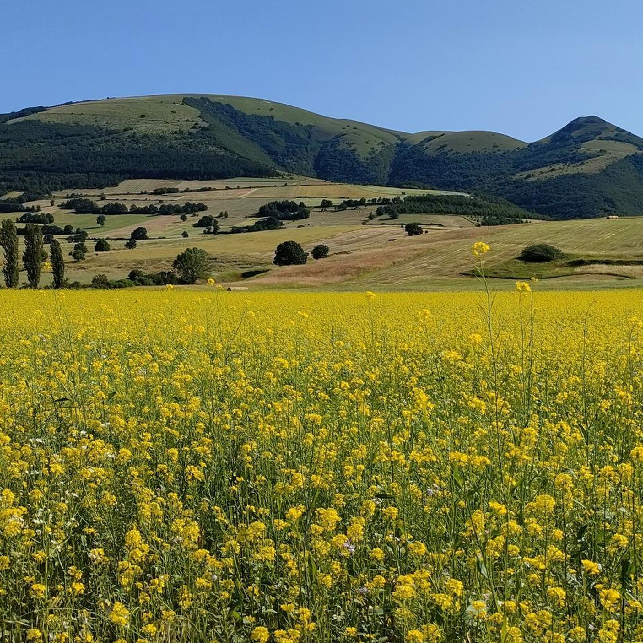
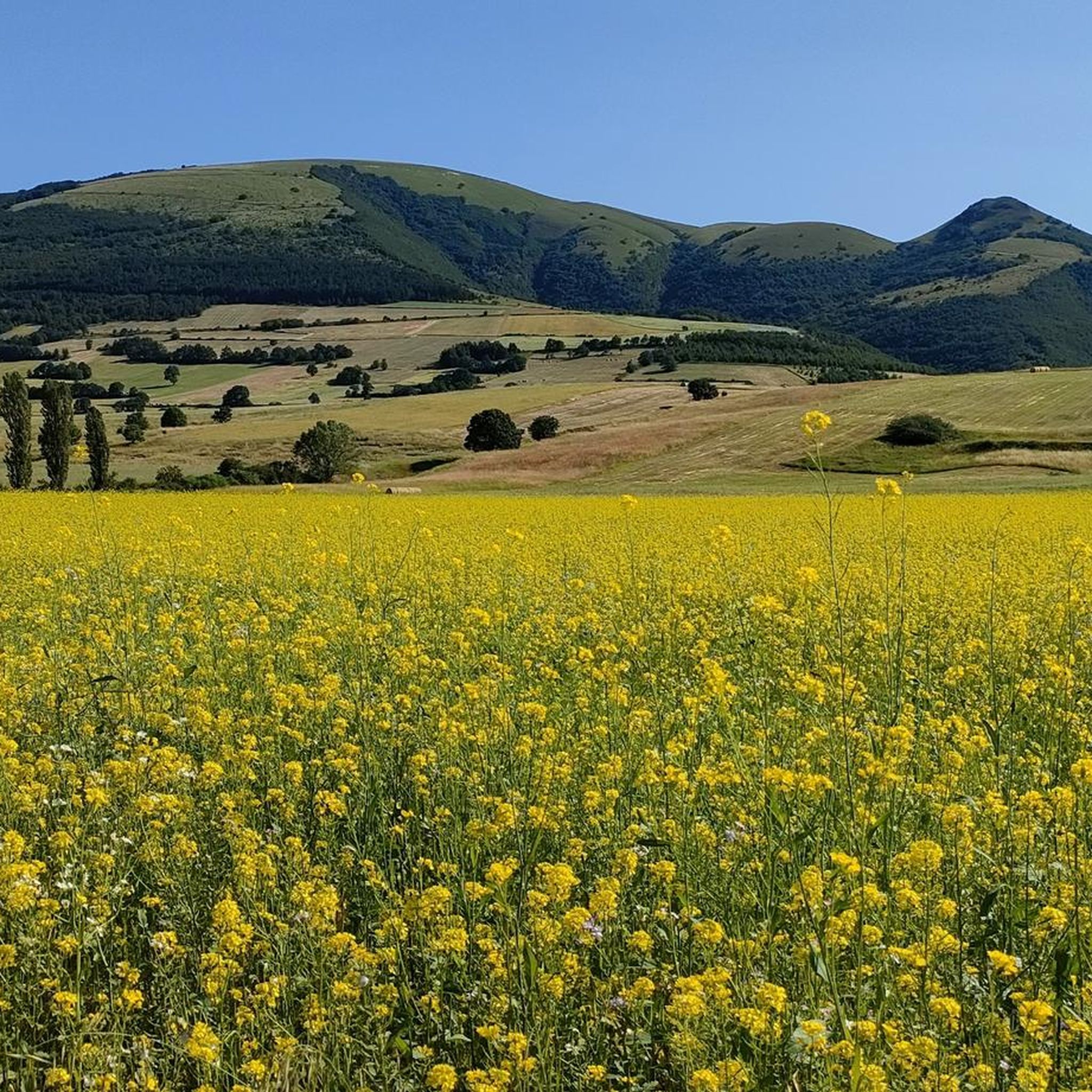
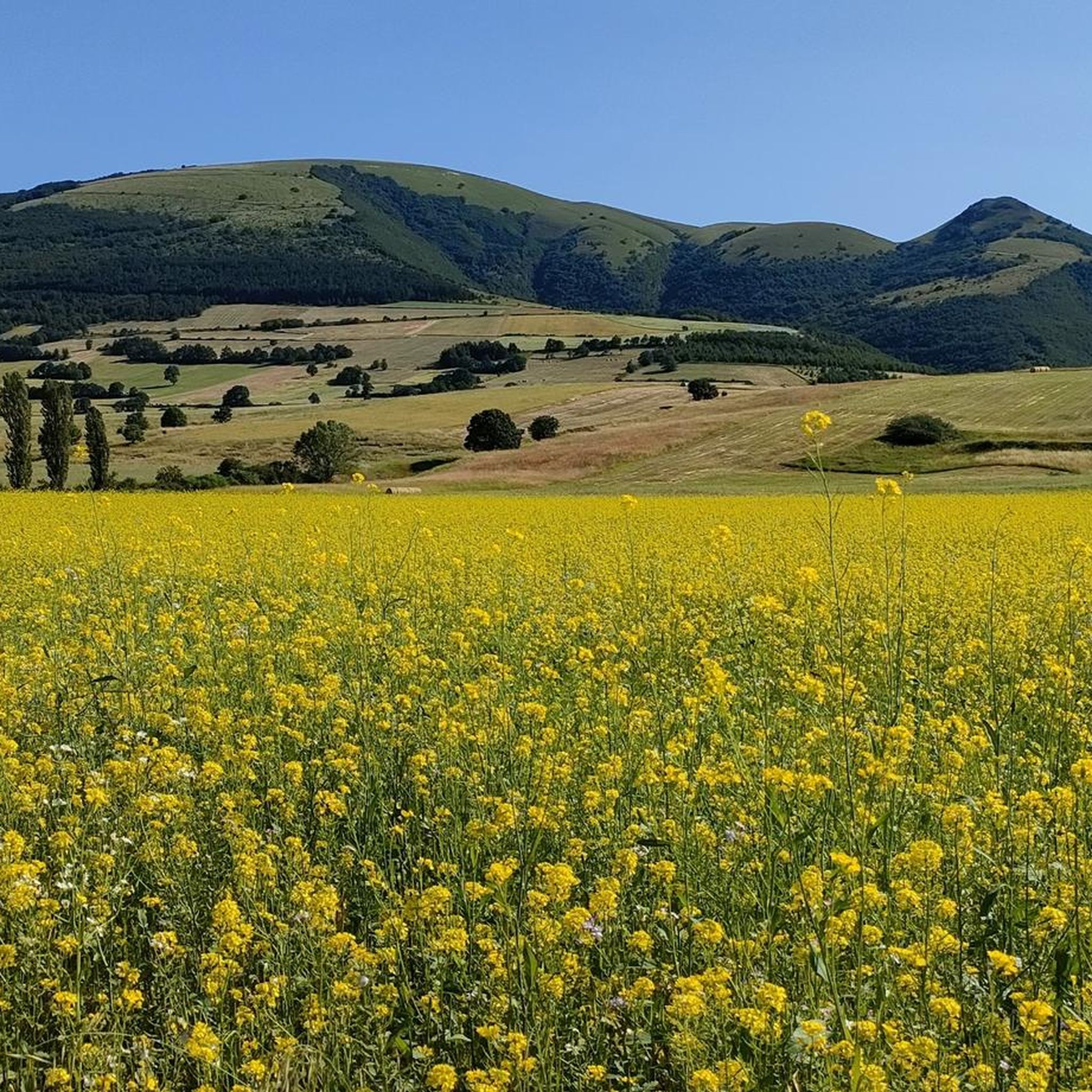
Hiking in Col Falcone offers a diverse landscape characterized by the Colfiorito Marsh, expansive plateaus, and the slopes of Monte Pennino. The region features a mix of flat marshland trails and more challenging ascents into higher elevations. This area provides varied terrain for hikers, from wetland environments to mountain paths.
Best hiking trails in Col Falcone
- The most popular hiking route is Colfiorito Marsh loop from Annifo, a 5.1 miles (8.2 km) trail that takes 2 hours 18 minutes…
Last updated: July 8, 2026
4.0
(1)
2
hikers
8.22km
02:18
160m
160m
Moderate hike. Good fitness required. Easily-accessible paths. Suitable for all skill levels.
4.0
(1)
7
hikers
25.7km
08:12
1,030m
1,030m
Hard hike. Very good fitness required. Mostly accessible paths. Sure-footedness required.

Sign up for free
4.0
(1)
6
hikers
20.5km
06:36
870m
870m
Hard hike. Very good fitness required. Easily-accessible paths. Suitable for all skill levels.
4.0
(24)
67
hikers
6.71km
01:47
70m
70m
Easy hike. Great for any fitness level. Easily-accessible paths. Suitable for all skill levels.
4.8
(8)
21
hikers
4.34km
01:18
120m
120m
Easy hike. Great for any fitness level. Easily-accessible paths. Suitable for all skill levels.
Get access to more routes and recommendations from other explorers.
Sign up for free
Already have an account?
Our route recommendations are based on thousands of hikes, rides, and runs completed by other people on komoot.
Start today with a free account
Your next adventure awaits.
Login or Signup

Tips from the Community

Casa del " Mollaro " Built in the second half of the 17th century, for grinding grain by exploiting the water drop from the collection basin.
0
0


It's definitely worth it for the views it offers!
0
0

Hiking clothing according to the season. Recommended footwear always trekking boots.
0
0

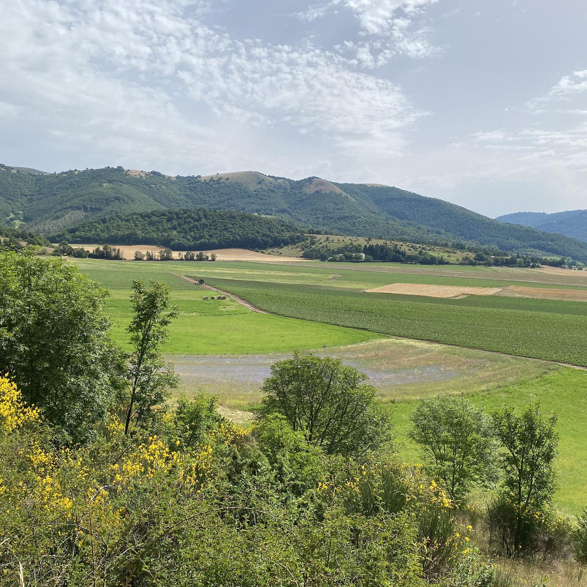
This route, immersed in the beauty of the Colfiorito Park, takes you through hilly panoramas, lush fields and enchanting woods. Along the way, you can see the richness of the local flora and fauna, making the experience a true immersion in nature. A stretch that promises adventures at every turn, offering a unique perspective on the beauty of Umbria.
3
0

One of the seven Plestine Plateaus of the Umbrian-Marche Apennines, this basin of lake origin has an area of about 340 hectares and offers striking views and colors all year round.
0
0

To do in the evening before sunset.
0
0
Frequently Asked Questions
How many hiking trails are available in Col Falcone?
Col Falcone offers a diverse network of over 45 hiking trails. These routes cater to various skill levels, ranging from easy marshland loops to challenging ascents up Monte Pennino.
Are there easy hiking routes suitable for beginners or families in Col Falcone?
Yes, Col Falcone has several easy routes perfect for beginners and families. There are 6 easy trails, many of which explore the flat, accessible terrain of the Colfiorito Marsh. A good option is the Pavillon Colfiorito – Colfiorito Marsh loop from Colfiorito, which is 4.2 miles (6.7 km) long.
What is the best time of year to go hiking in Col Falcone?
The best time for hiking in Col Falcone is generally from spring to autumn (April to October). During these months, the weather is pleasant, and the marshlands are vibrant with flora and fauna. Summer can be warm, especially in the open marsh areas, while late autumn offers beautiful foliage. Winter hiking is possible, particularly on lower-elevation trails, but higher routes may be subject to snow and colder conditions.
Are there any circular hiking routes in Col Falcone?
Yes, many of the trails in Col Falcone are circular, allowing you to start and end at the same point. For instance, the popular Colfiorito Marsh loop from Annifo is a moderate 5.1-mile (8.2 km) circular route, and the more challenging Altopiano di Colfiorito – Monte Pennino (1,572 m) loop from Colfiorito also forms a loop.
Can I bring my dog on the hiking trails in Col Falcone?
Generally, dogs are welcome on most hiking trails in Col Falcone, especially those outside the strictly protected areas of the Colfiorito Marsh. However, it's always advisable to keep them on a leash, particularly in nature reserves, to protect wildlife and ensure the safety of other hikers. Always check local signage for specific restrictions.
Where can I find parking for hiking trails in Col Falcone?
Parking is typically available at key access points for many trails, especially near the villages of Colfiorito and Annifo, which serve as common starting points for exploring the marsh and surrounding areas. Look for designated parking areas near trailheads or in the villages themselves.
Are there any viewpoints or scenic spots along the hiking routes?
Absolutely. The region is known for its diverse landscapes. Trails ascending Monte Pennino, such as the Summit of Monte Pennino – Monte Pennino (1,572 m) loop from Monte Colle Croce, offer panoramic views of the Colfiorito plateau and the surrounding Apennine mountains. The marshland trails provide unique perspectives of the wetland ecosystem and its birdlife.
What do other hikers enjoy most about hiking in Col Falcone?
The komoot community highly rates hiking in Col Falcone, with an average score of 4.5 stars from over 90 reviews. Hikers frequently praise the unique marshland scenery, the tranquility of the natural environment, and the diverse terrain that ranges from flat, easy walks to challenging mountain ascents with rewarding views.
Are there cafes or places to eat near the hiking trails?
Yes, the village of Colfiorito, a central hub for many trails, offers several options for cafes, restaurants, and local shops where you can refuel before or after your hike. It's a good idea to check opening hours, especially during off-peak seasons.
Are there any challenging or difficult hikes in Col Falcone?
For experienced hikers seeking a challenge, Col Falcone offers several difficult routes, primarily those that ascend Monte Pennino. The Altopiano di Colfiorito – Monte Pennino (1,572 m) loop from Colfiorito is a difficult 12.8-mile (20.7 km) path with significant elevation gain, providing a strenuous but rewarding experience with expansive views.
Is public transport available to access hiking trails in Col Falcone?
Public transport options to Col Falcone are limited, as is common in many rural mountain and marshland areas. It is generally recommended to access the trailheads by car. Some local bus services might connect to larger towns, but direct access to specific trail starting points might require a short taxi ride or a longer walk.
Are there any opportunities for wild swimming after a hike in Col Falcone?
While the Colfiorito Marsh is a significant wetland, it is a protected natural area and not suitable for swimming. There are no designated wild swimming spots directly within the immediate hiking areas of Col Falcone. For swimming, you would need to look for lakes or rivers further afield in the Umbria region.
Most popular routes in Col Falcone

Get inspired with the komoot mobile app


Explore more
Browse the best Hikes in other regions.
