The best road cycling routes in Col Falcone
4.8
(7)
290
riders
10
rides
Road cycling routes in Col Falcone traverse a varied landscape characterized by lakes, river valleys, and mountain passes within the Perugia region. The terrain offers a mix of challenging climbs and scenic stretches, catering to different levels of road cycling experience. Routes often feature significant elevation gains, providing panoramic views of the surrounding natural environment. The area's physical features include notable passes and water bodies, shaping diverse cycling paths.
Best road cycling routes in Col Falcone
- The most popular road…
Last updated: July 21, 2026
5.0
(1)
159
riders
114km
05:47
1,860m
1,860m
Hard road ride. Very good fitness required. Mostly well-paved surfaces and easy to ride.
11
riders
59.9km
03:12
1,150m
1,150m
Hard road ride. Very good fitness required. Mostly well-paved surfaces and easy to ride.

Sign up for free
5.0
(1)
7
riders
17.0km
00:41
90m
90m
Easy road ride. Great for any fitness level. Mostly well-paved surfaces and easy to ride.
10
riders
Hard road ride. Very good fitness required. Mostly well-paved surfaces and easy to ride.
5
riders
118km
06:16
2,240m
2,240m
Hard road ride. Very good fitness required. Mostly well-paved surfaces and easy to ride.
Get access to more routes and recommendations from other explorers.
Sign up for free
Already have an account?
Our route recommendations are based on thousands of hikes, rides, and runs completed by other people on komoot.
Start today with a free account
Your next adventure awaits.
Login or Signup

Tips from the Community

RASIGLIA, 648 meters above sea level, is located about 17 km above Foligno. Recently known as the "Borgo dei Streams" or the "Venice of Umbria" due to the streams that flow through the small village.
0
0

A WONDERFUL SMALL VILLAGE THAT WILL LEAVE YOU OPEN-MOUTHED
0
0

RASIGLIA is a micro village crossed by streams and canals. It can be visited in a few minutes, but it is worth the detour. A bit chaotic to walk there during the weekends, because it is packed with tourists.
0
0

A beautiful town on the border with Abruzzo.
14
0

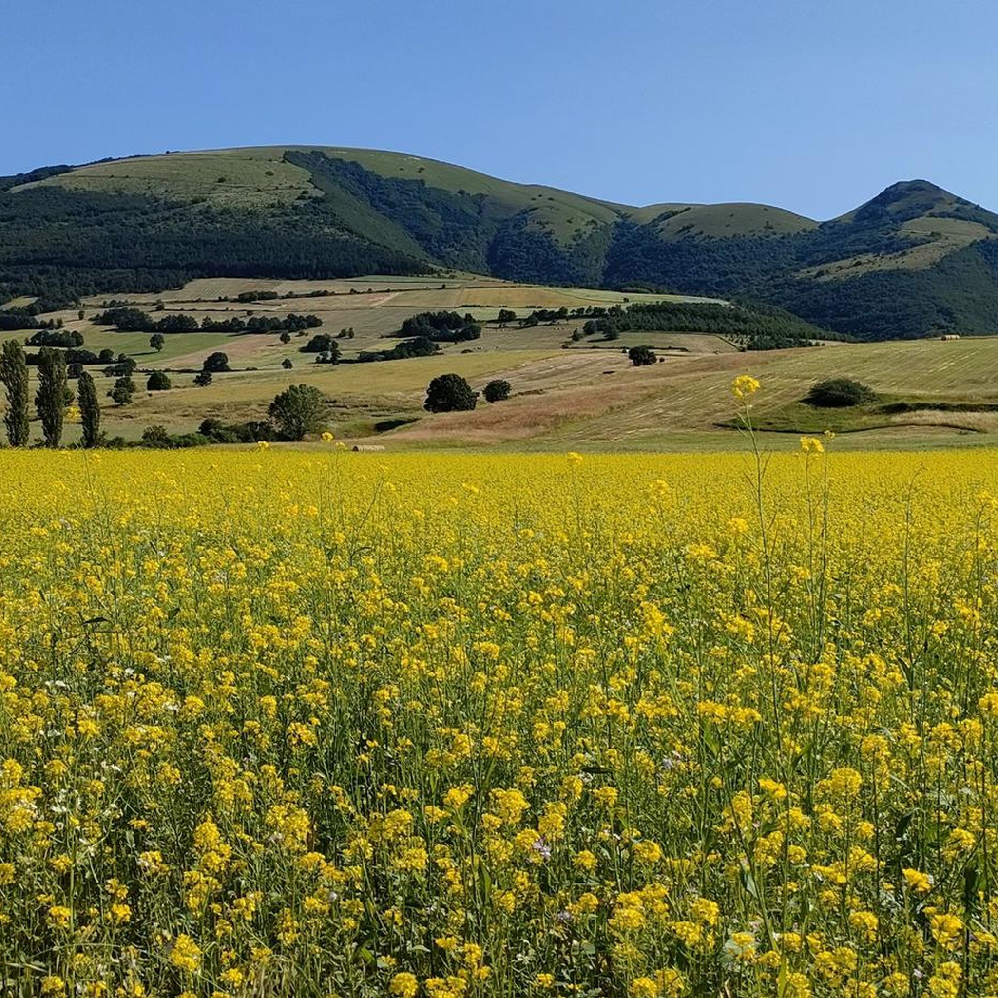
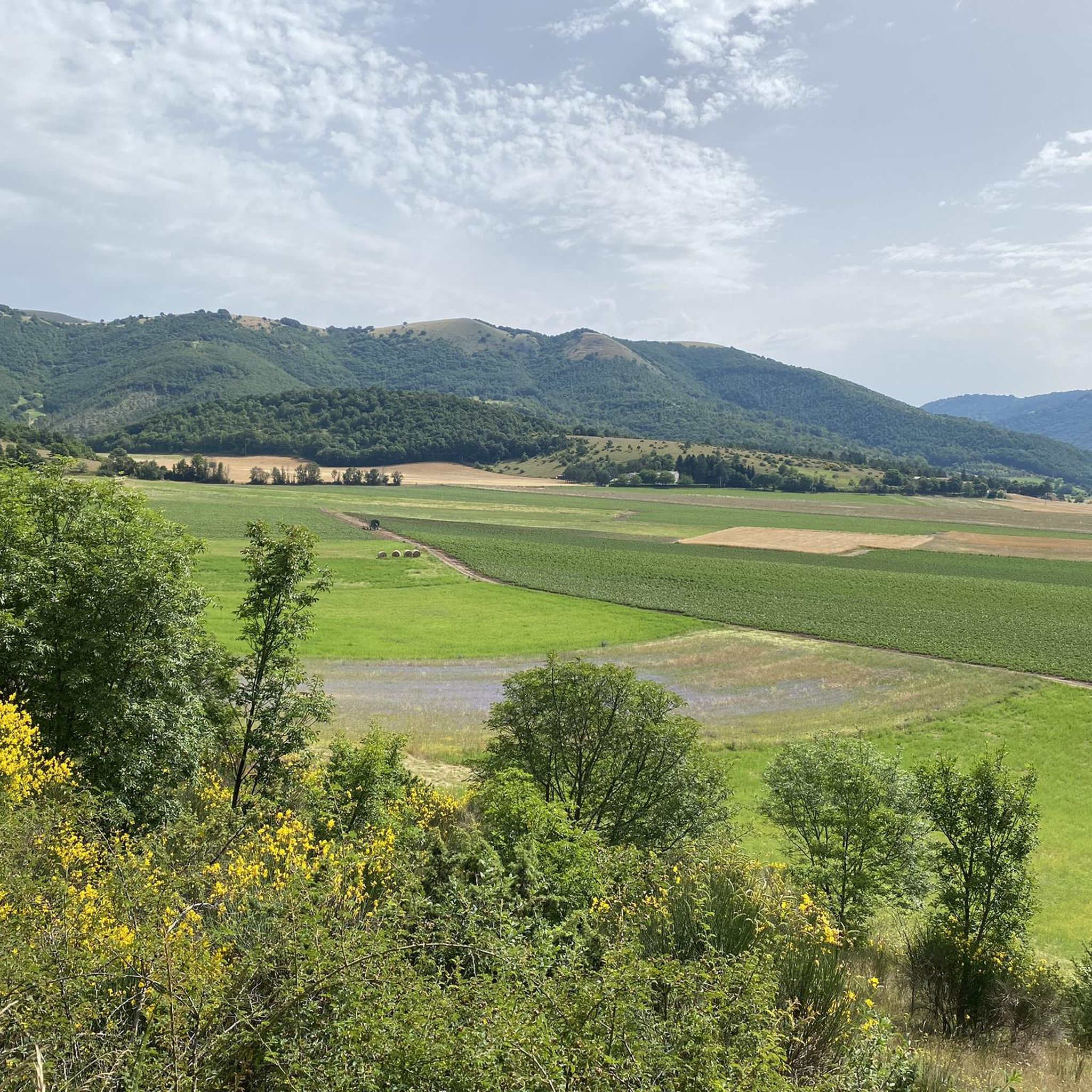
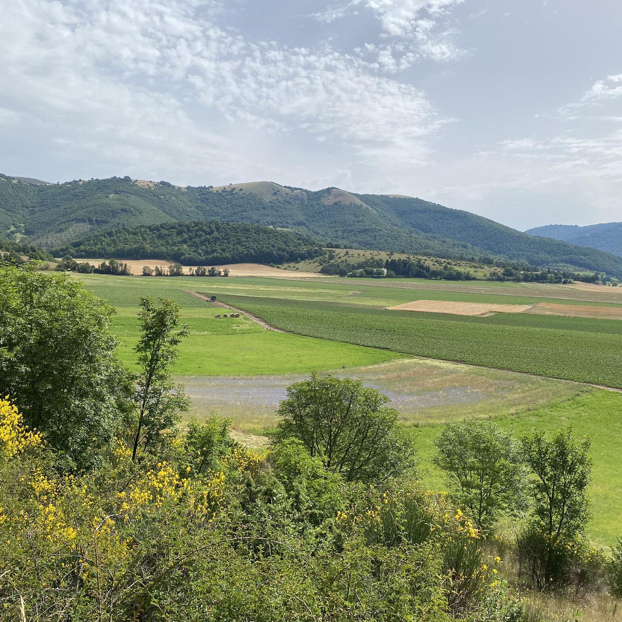
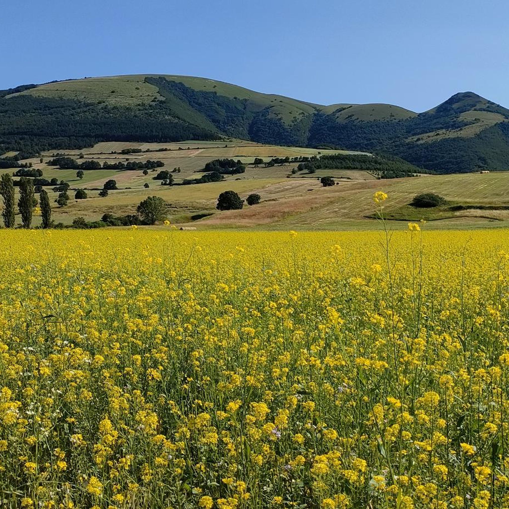
Colfiorito is the largest town on the vast plateau of about 300 hectares where it is located, at an altitude of 781 m above sea level, along the Strada statale 77 della Val di Chienti that connects Foligno to Civitanova Marche; part of the plateau falls within the territory of the municipality of Serravalle di Chienti, in the province of Macerata. The karst plateau derives from the draining of seven lake basins, of which only the marsh remains. Colfiorito, according to Istat data from the 2001 census, has about 400 residents. If you want to continue on internal roads that lead back to Foligno instead of returning on the SS 77 (a bit busy) you pass through the town and from there you move among the beautiful green and fresh hills.
3
0
Frequently Asked Questions
What is the general difficulty level of road cycling routes in Col Falcone?
Col Falcone offers a diverse range of road cycling routes, catering to various skill levels. You'll find a mix of easy, moderate, and difficult options. The terrain often includes significant elevation gains over mountain passes, alongside scenic stretches through river valleys and around lakes.
Are there any beginner-friendly road cycling routes in Col Falcone?
Yes, Col Falcone has routes suitable for beginners. For an easier ride, consider the Fonte delle Mattinate – Colfiorito loop from Cesi, which is 10.6 miles (17.0 km) long and features rolling hills.
What are some challenging road cycling routes for experienced riders in Col Falcone?
Experienced road cyclists will find several demanding routes in Col Falcone. The Lake Fiastra – Lake Caccamo loop from Colfiorito is a difficult 70.5 miles (113.4 km) trail with substantial elevation gain and scenic lake views. Another challenging option is the Passo Cornello – Fonte delle Mattinate loop from Colfiorito, a difficult 51.1 miles (82.3 km) path that includes significant climbs over mountain passes.
What is the typical length of road cycling routes in Col Falcone?
Route lengths in Col Falcone vary significantly. You can find shorter rides like the Fonte delle Mattinate – Colfiorito loop from Cesi at 10.6 miles (17.0 km), up to longer, more challenging tours such as the Lake Fiastra – Lake Caccamo loop from Colfiorito, which spans 70.5 miles (113.4 km).
When is the best time of year for road cycling in Col Falcone?
The best time for road cycling in Col Falcone is typically during the spring (April to June) and autumn (September to October) months. During these periods, the weather is generally mild and pleasant, with less extreme heat than summer and fewer chances of snow or ice than winter, making for ideal cycling conditions across the region's varied terrain.
Are there road cycling routes in Col Falcone that feature waterfalls?
Yes, some routes in Col Falcone offer the chance to see waterfalls. The Menotre Waterfalls in Pale – Piazza Silvestri, Bevagna loop from Parco Regionale di Colfiorito is a difficult 76.0 miles (122.4 km) route that includes the Menotre Waterfalls as a notable point of interest.
Are there any loop trails for road cycling in Col Falcone?
Many of the road cycling routes in Col Falcone are designed as loops, offering convenient starting and ending points. Examples include the popular Lake Fiastra – Lake Caccamo loop from Colfiorito and the Passo Cornello – Fonte delle Mattinate loop from Colfiorito.
What do other road cyclists enjoy the most about road cycling in Col Falcone?
The komoot community highly rates road cycling in Col Falcone, with an average score of 4.7 stars from over 4 reviews. Cyclists often praise the region's varied landscape, which includes scenic lake views, challenging mountain passes, and picturesque river valleys, offering a rewarding experience for all levels.
Are there routes that pass by lakes in Col Falcone?
Absolutely. Col Falcone's landscape is characterized by several lakes. The Lake Fiastra – Lake Caccamo loop from Colfiorito is a prime example, offering extensive views of both Lake Fiastra and Lake Caccamo during the ride.
Can I find routes that follow river valleys in Col Falcone?
Yes, road cycling in Col Falcone often includes stretches through beautiful river valleys. The Menotre River in Rasiglia – Colfiorito Pass loop from Cesi is a moderate route that takes you along the Menotre River, showcasing the region's natural beauty.
What kind of terrain can I expect on road cycling routes in Col Falcone?
The terrain in Col Falcone is quite varied, featuring a mix of challenging climbs over mountain passes, rolling hills, and scenic flat sections along river valleys and around lakes. You can expect diverse landscapes that provide both demanding ascents and enjoyable cruising stretches.

Get inspired with the komoot mobile app


Explore more
Browse the best Road cycling routes in other regions.
