The best road cycling routes in Reserva Forestal Bosque Oriental De Bogotá
4.7
(342)
10,142
riders
57
rides
Road cycling in Reserva Forestal Bosque Oriental De Bogotá offers diverse terrain within a mountainous area on the eastern side of Bogotá. This region rises from 2650 to 3600 meters above sea level, providing routes with significant elevation gains. The landscape features an extensive network of trails, catering to various activities including road cycling, with challenging climbs and panoramic views of Bogotá. It is a critical ecological area, contributing to water regulation and biodiversity.
Best road cycling routes in Reserva Forestal Bosque Oriental De Bogotá
- The most popular road cycling route is El Gallo Parking Lot – Alto del Águila loop from Rancho La María, a 57.5 miles (92.5 km) trail that takes 4 hours 35 minutes to complete. This difficult route features substantial climbs through the mountainous landscape.
- Another top favourite among local road cyclists is View of Bogotá from Patios – Patios Summit loop from Calle 45, a moderate 14.2 miles (22.8 km) path. This route offers views of Bogotá and includes a notable summit climb.
- Local road cyclists also love the Salitre–Guasquita Climb – Alto de La Cuchilla loop from Estación 15, a 71.5 miles (115.0 km) trail leading through varied terrain with significant elevation gain, often completed in about 6 hours 15 minutes.
- Road cycling in Reserva Forestal Bosque Oriental De Bogotá is defined by challenging climbs, panoramic viewpoints, and a network of trails through a mountainous forest reserve. The network offers options for different ability levels, from moderate ascents to difficult long-distance routes.
- The routes in Reserva Forestal Bosque Oriental De Bogotá are highly rated by the komoot community with an average score of 4.7 stars from over 360 reviews. More than 11,000 road cyclists have used komoot to explore Reserva Forestal Bosque Oriental De Bogotá's varied terrain.
Last updated: October 31, 2026
249
riders
112km
05:40
1,480m
1,480m
Hard road ride. Very good fitness required. Some segments of this route may be unpaved and difficult to ride.
5.0
(1)
42
riders
46.4km
03:12
1,580m
1,580m
Hard road ride. Very good fitness required. Some segments of this route may be unpaved and difficult to ride.

4.9
(20)
1,171
riders
115km
06:15
2,330m
2,330m
Hard road ride. Very good fitness required. Mostly well-paved surfaces and easy to ride.
4.8
(20)
758
riders
29.2km
01:45
730m
730m
Moderate road ride. Good fitness required. Mostly well-paved surfaces and easy to ride.
4.8
(5)
397
riders
131km
06:33
1,860m
1,860m
Hard road ride. Very good fitness required. Mostly well-paved surfaces and easy to ride.
Get access to more routes and recommendations from other explorers.
Already have an account?
Our route recommendations are based on thousands of hikes, rides, and runs completed by other people on komoot.
Start today with a free account
Your next adventure awaits.
Popular around Reserva Forestal Bosque Oriental De Bogotá
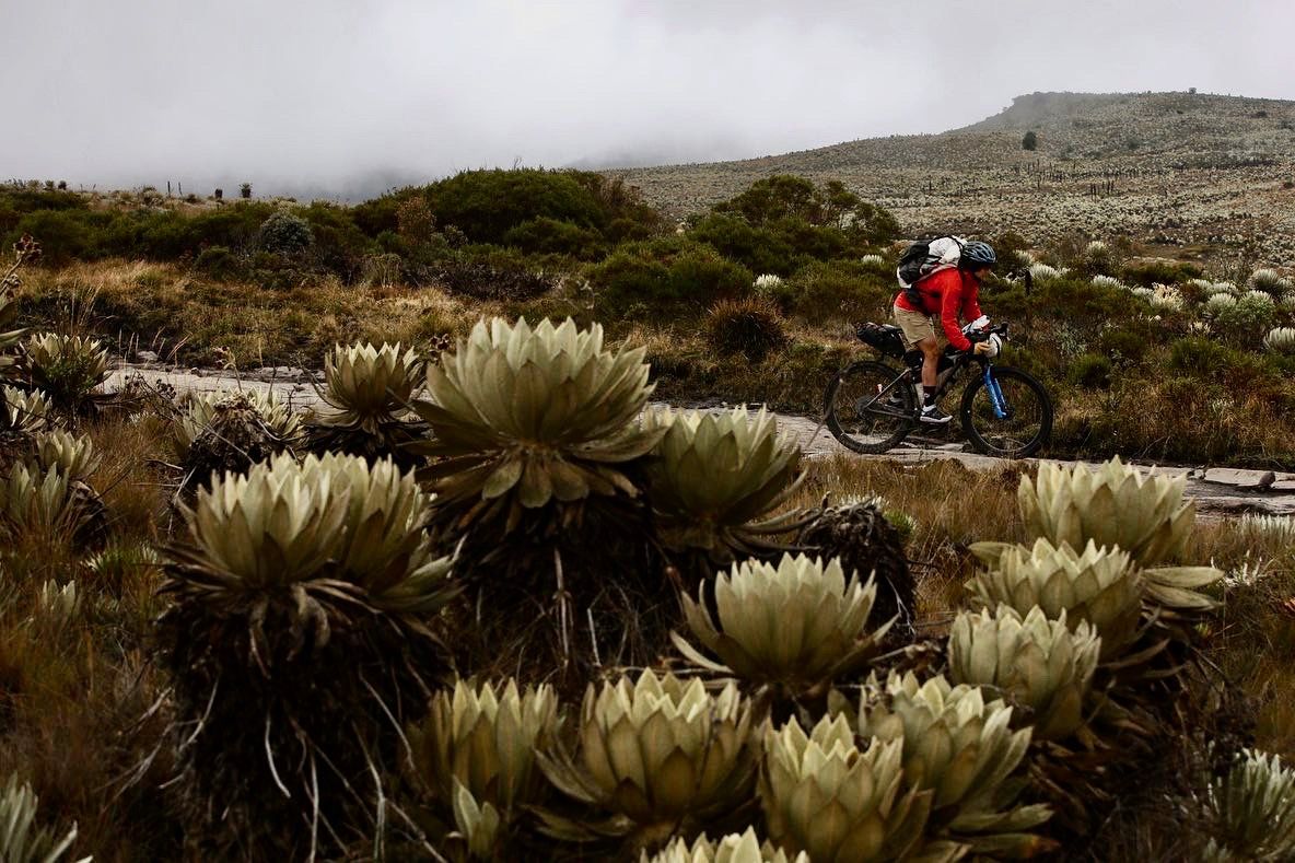
Chingaza Loop – Bikepacking Colombia Scouting
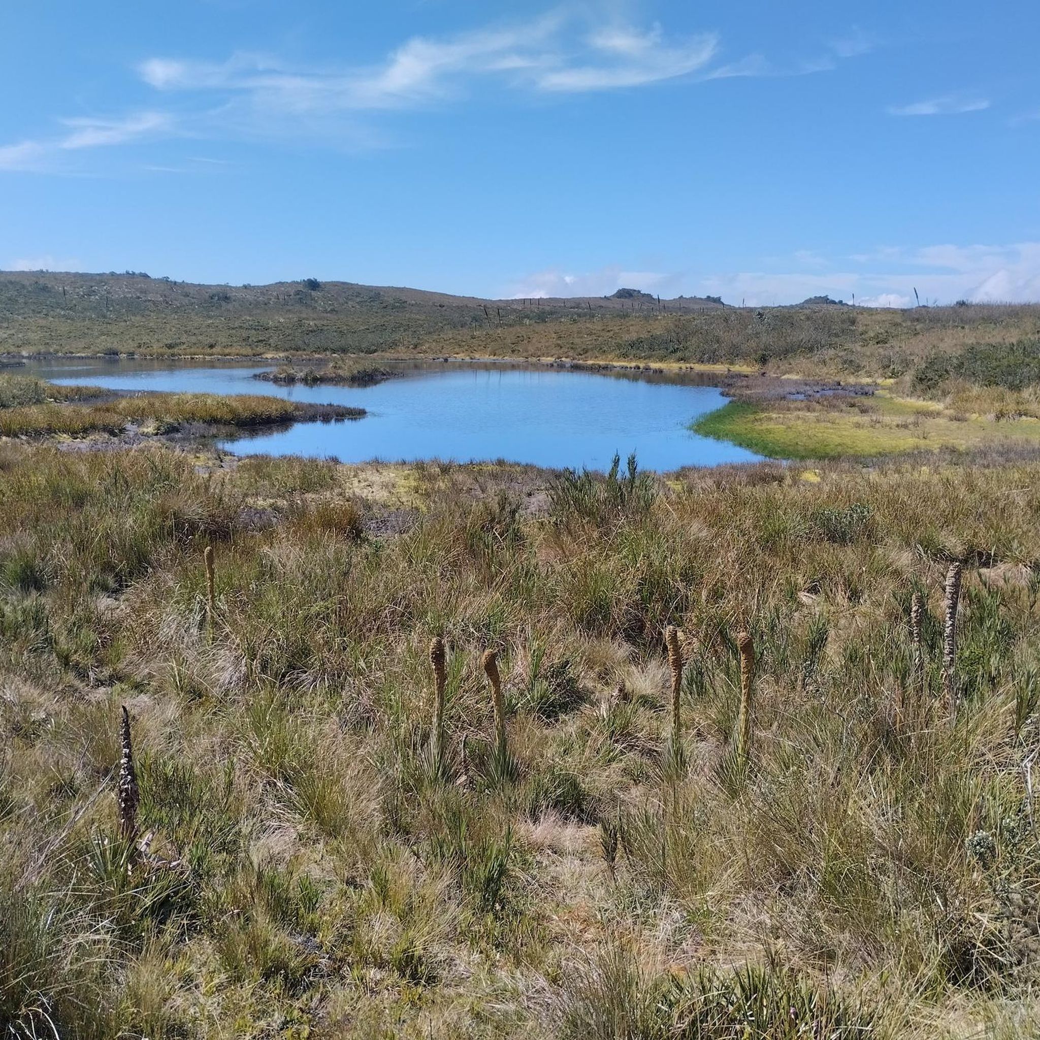
Hiking in Reserva Forestal Bosque Oriental De Bogotá
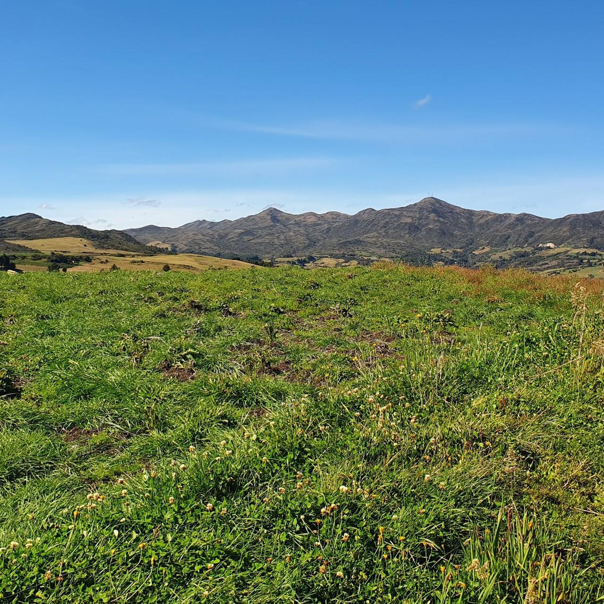
Cycling in Reserva Forestal Bosque Oriental De Bogotá
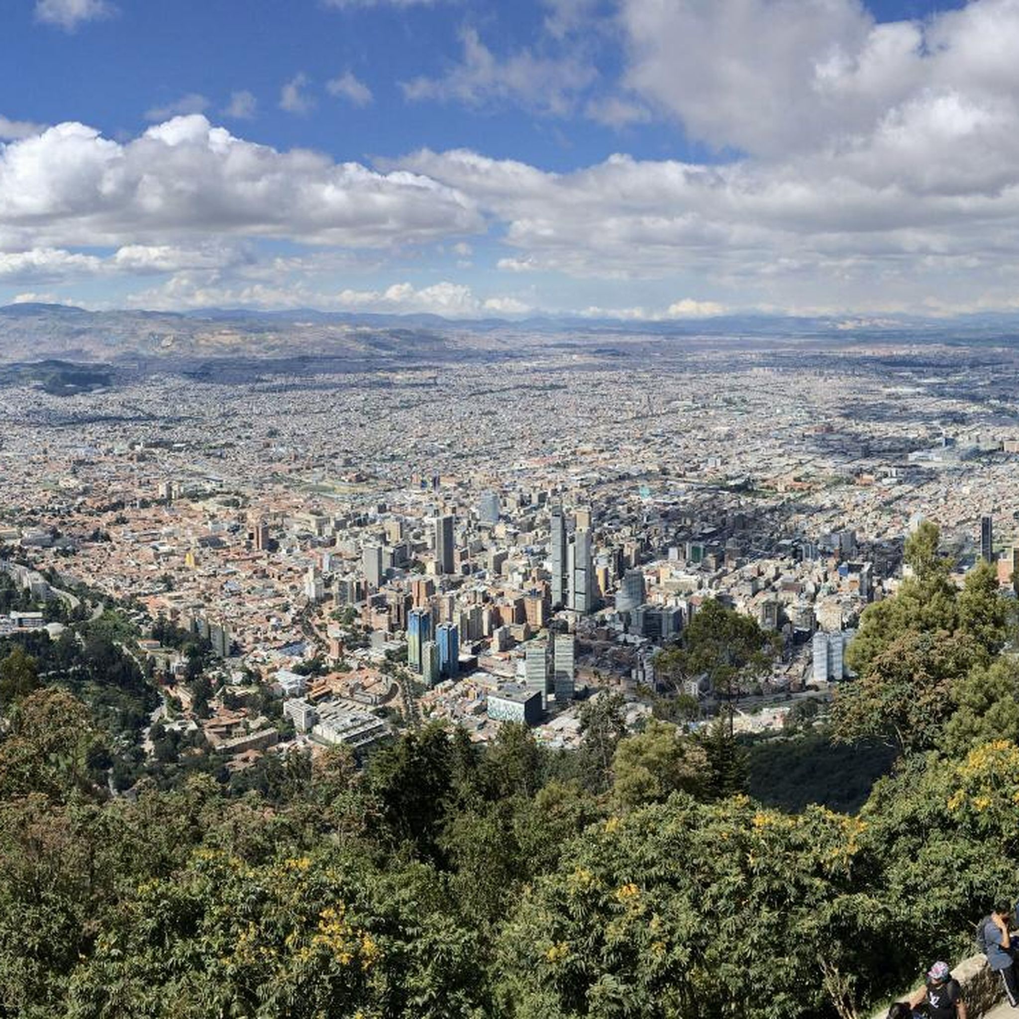
Running Trails in Reserva Forestal Bosque Oriental De Bogotá
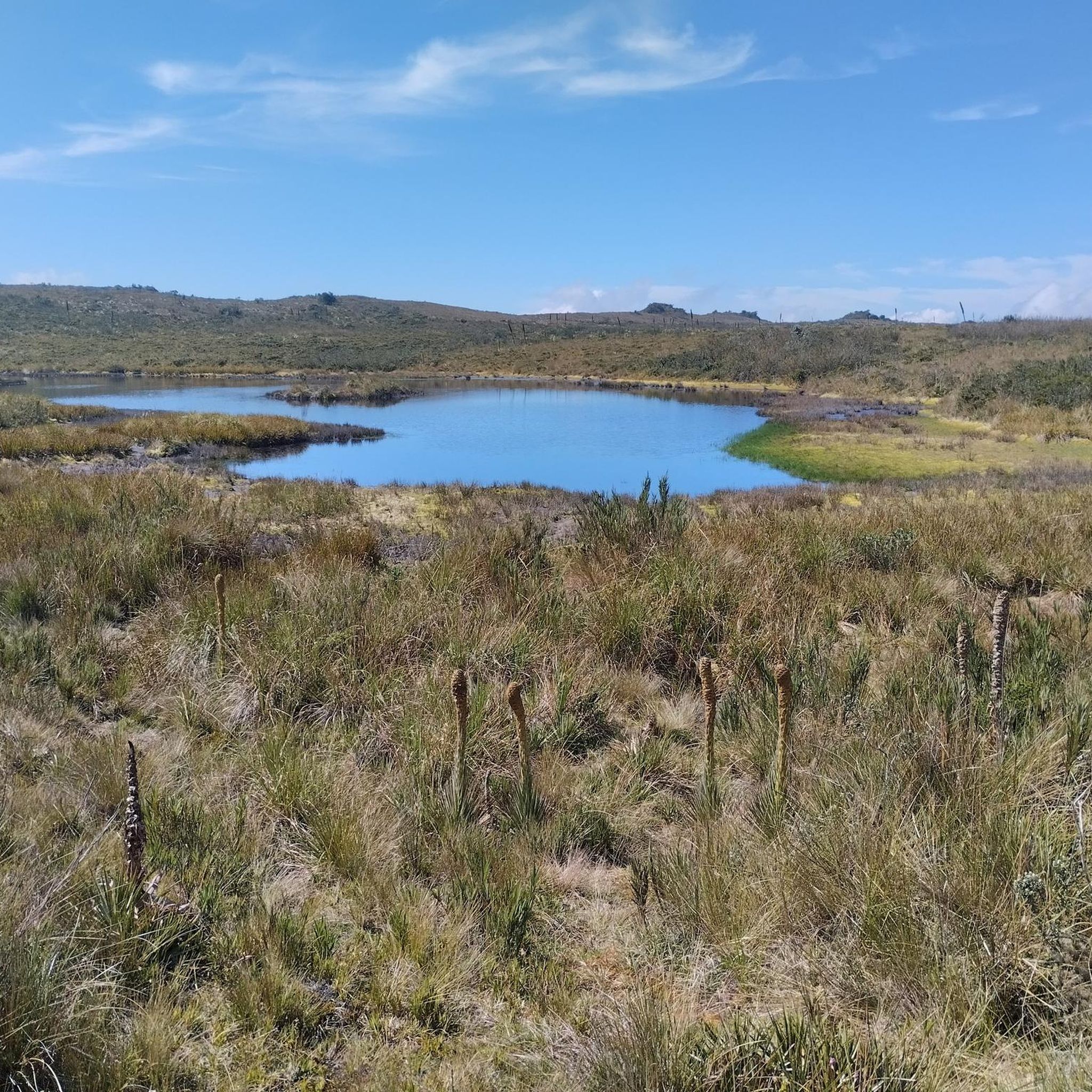
MTB Trails in Reserva Forestal Bosque Oriental De Bogotá
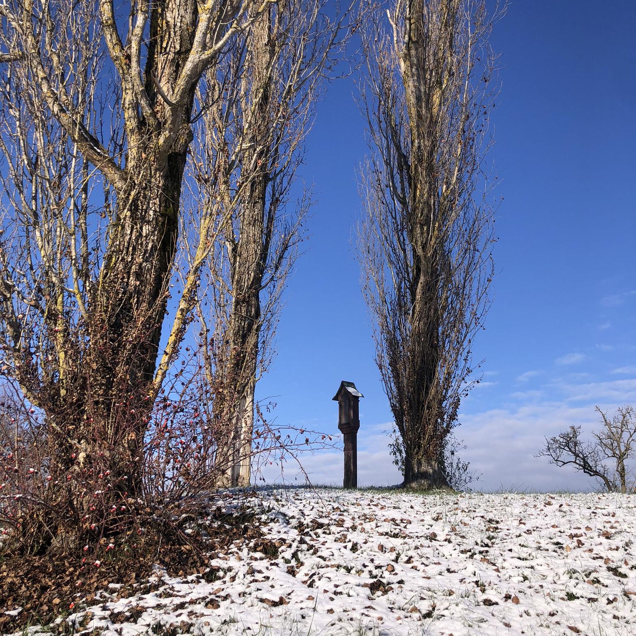
Gravel biking in Reserva Forestal Bosque Oriental De Bogotá
Other adventures in Reserva Forestal Bosque Oriental De Bogotá

Tips from the Community

Alto de los Patios offers countless dining options to enjoy Bogotá's sporting atmosphere. The area is usually very busy.
1
0

Getting to Choachi is a challenge. We recommend a road with a spectacular view. It's quite cold and the climb is quite demanding; it's not for beginners. Take advantage of Sunday when there's a safe route with police at critical points.
1
0

Beautiful scenery and medium difficulty. For gravel or mountain biking.
0
0


It is the most frequented peak by cyclists in all of Colombia. Egan Bernal has the PR
0
0

It is a road with a lot of vehicular flow, be careful!!! up there many places to have breakfast
1
0


Excellent climbing, recommended for Saturdays first thing in the morning.
0
0
Frequently Asked Questions
How many road cycling routes are available in Reserva Forestal Bosque Oriental De Bogotá?
There are over 60 road cycling routes available in Reserva Forestal Bosque Oriental De Bogotá, catering to various skill levels. You'll find a good mix of easy, moderate, and difficult trails to explore.
What kind of terrain and elevation can I expect when road cycling in this region?
The Reserva Forestal Bosque Oriental De Bogotá is a mountainous area, rising from 2650 to 3600 meters above sea level. This means you can expect diverse terrain with significant elevation gains, offering challenging climbs and rewarding descents. It's an ideal region for cyclists looking for demanding rides.
Are there any challenging road cycling routes for experienced riders?
Absolutely. The region is known for its challenging climbs. For instance, the Salitre–Guasquita Climb – Alto de La Cuchilla loop from Estación 15 is a difficult 115 km route with over 2300 meters of elevation gain. Another demanding option is the Alto del Águila – Via Pacho – El Águila loop from Estación 14, spanning over 164 km with significant climbing.
What landmarks or viewpoints can I see along the road cycling routes?
Many routes offer breathtaking panoramic views of Bogotá and the surrounding natural environment. Notable landmarks and viewpoints include the Patios Summit, Monserrate Hill, and the Cerro de Guadalupe and Christ the Redeemer Statue. These spots provide excellent opportunities for a break and to take in the scenery.
Are there any specific natural features to look out for while cycling?
Yes, the Bosque Oriental is a critical ecological area. You'll encounter lush vegetation and various water sources, as the reserve acts as a vital regulator of water quality and quantity for Bogotá. The natural beauty and ecological value of the landscape are prominent features throughout your ride.
What do other road cyclists enjoy the most about road cycling in Reserva Forestal Bosque Oriental De Bogotá?
The area is highly rated by the komoot community, with an average score of 4.7 stars. Reviewers often praise the challenging climbs, the stunning panoramic views of Bogotá, and the extensive network of trails that cater to different fitness levels. The accessibility from the city is also frequently highlighted as a major benefit.
Are there any loop trails for road cycling in the area?
Yes, many of the road cycling routes in Reserva Forestal Bosque Oriental De Bogotá are designed as loops, allowing you to start and end at the same point. An example is the El Gallo Parking Lot – Alto del Águila loop from Rancho La María, a popular 92.5 km route.
Is parking available for road cyclists near the routes?
While specific designated parking for cyclists isn't universally detailed for every trailhead, many access points to the reserve are near urban areas or smaller towns where street parking or commercial parking lots may be available. It's advisable to check the starting point of your chosen route for local parking options.
How can I reach the road cycling routes using public transport?
As an integral part of Bogotá's mountainous system, the reserve is readily accessible from various parts of the city. Public transport options like buses can take you close to the base of the hills, from where you can begin your ride. Planning your route start point in conjunction with Bogotá's public transport network is recommended.
Are there any permits or regulations for road cycling in the reserve?
The Reserva Forestal Bosque Oriental De Bogotá is a protected area. While general access for outdoor activities is permitted, it's always good practice to be aware of any specific regulations or conservation efforts in place. For detailed information on environmental management and regulations, you can consult official sources like bogota.gov.co or minambiente.gov.co.
Are there any family-friendly road cycling options in the reserve?
While many routes feature significant elevation gains and are geared towards more experienced riders, some sections or shorter loops might be suitable for families with older children who are comfortable with road cycling and some climbing. It's best to review the difficulty and elevation profile of specific routes, such as the moderate View of Bogotá from Patios – Patios Summit loop from Calle 45, to determine suitability for your family.
What is the best time of year for road cycling in Reserva Forestal Bosque Oriental De Bogotá?
Given its high altitude and mountainous nature, the weather can be variable. Generally, the drier seasons in Bogotá (typically December to March and July to August) offer more predictable conditions for cycling. However, always check the local weather forecast before heading out, as conditions can change rapidly in mountainous regions.
Most popular routes in Reserva Forestal Bosque Oriental De Bogotá
Most popular attractions in Reserva Forestal Bosque Oriental De Bogotá

Get inspired with the komoot mobile app


Explore more
Browse the best Road cycling routes in other regions.
