The best gravel rides in Reserva Forestal Bosque Oriental De Bogotá
5.0
(8)
181
riders
15
rides
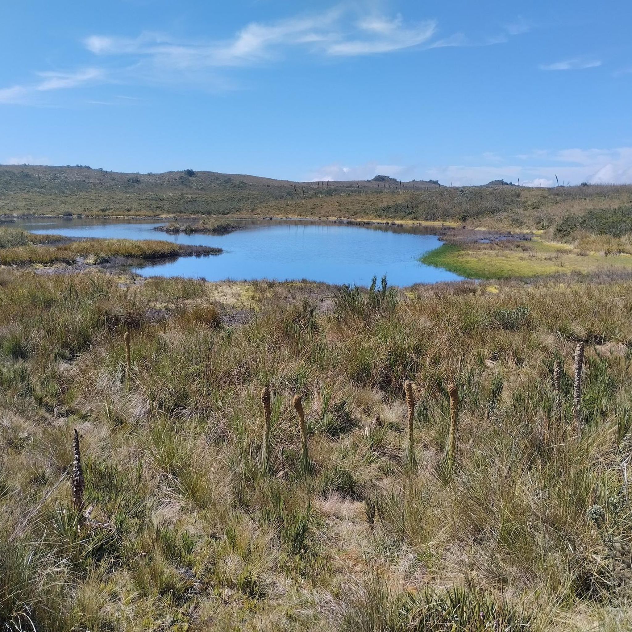
Gravel bike trails in Reserva Forestal Bosque Oriental De Bogotá traverse mountainous terrain within the Eastern Cordillera of Colombia, with elevations ranging from 2,575 to 3,600 meters above sea level. The region features high Andean forest, unpaved roads, and mixed-surface paths, providing a varied environment for cyclists. This area is crucial for water recharge, feeding several river sub-basins, and offers diverse topography with significant climbs and descents. The network of trails is suitable for gravel biking, connecting to larger conservation…
Last updated: August 27, 2026
12
riders
96.2km
07:59
2,470m
2,470m
Hard gravel ride. Very good fitness required. Mostly paved surfaces. Suitable for all skill levels.
5.0
(2)
19
riders
60.5km
04:38
970m
970m
Hard gravel ride. Very good fitness required. Mostly paved surfaces. Suitable for all skill levels.

Sign up for free
17
riders
83.3km
05:41
930m
930m
Hard gravel ride. Very good fitness required. Mostly paved surfaces. Suitable for all skill levels.
11
riders
73.8km
05:28
1,450m
1,450m
Hard gravel ride. Very good fitness required. Mostly paved surfaces. Suitable for all skill levels.
5.0
(1)
15
riders
35.6km
03:27
1,080m
1,080m
Hard gravel ride. Very good fitness required. Mostly paved surfaces. Suitable for all skill levels.
Get access to more routes and recommendations from other explorers.
Sign up for free
Already have an account?
Our route recommendations are based on thousands of hikes, rides, and runs completed by other people on komoot.
Start today with a free account
Your next adventure awaits.
Login or Signup
Popular around Reserva Forestal Bosque Oriental De Bogotá

Chingaza Loop – Bikepacking Colombia Scouting
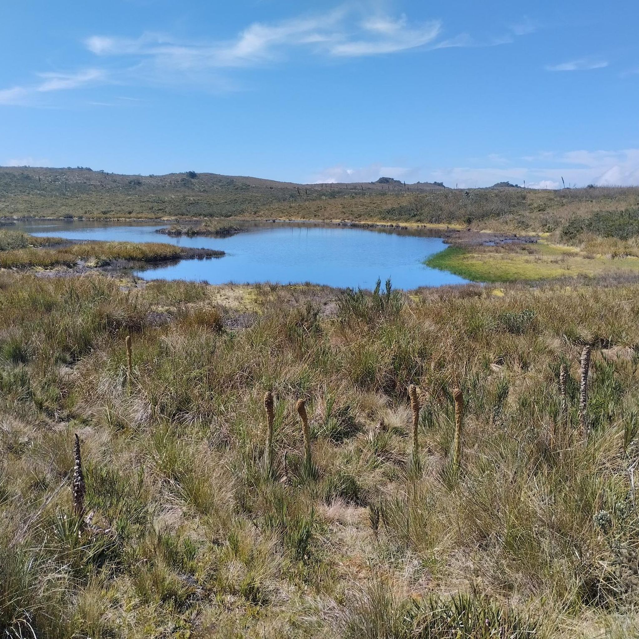
Hiking in Reserva Forestal Bosque Oriental De Bogotá
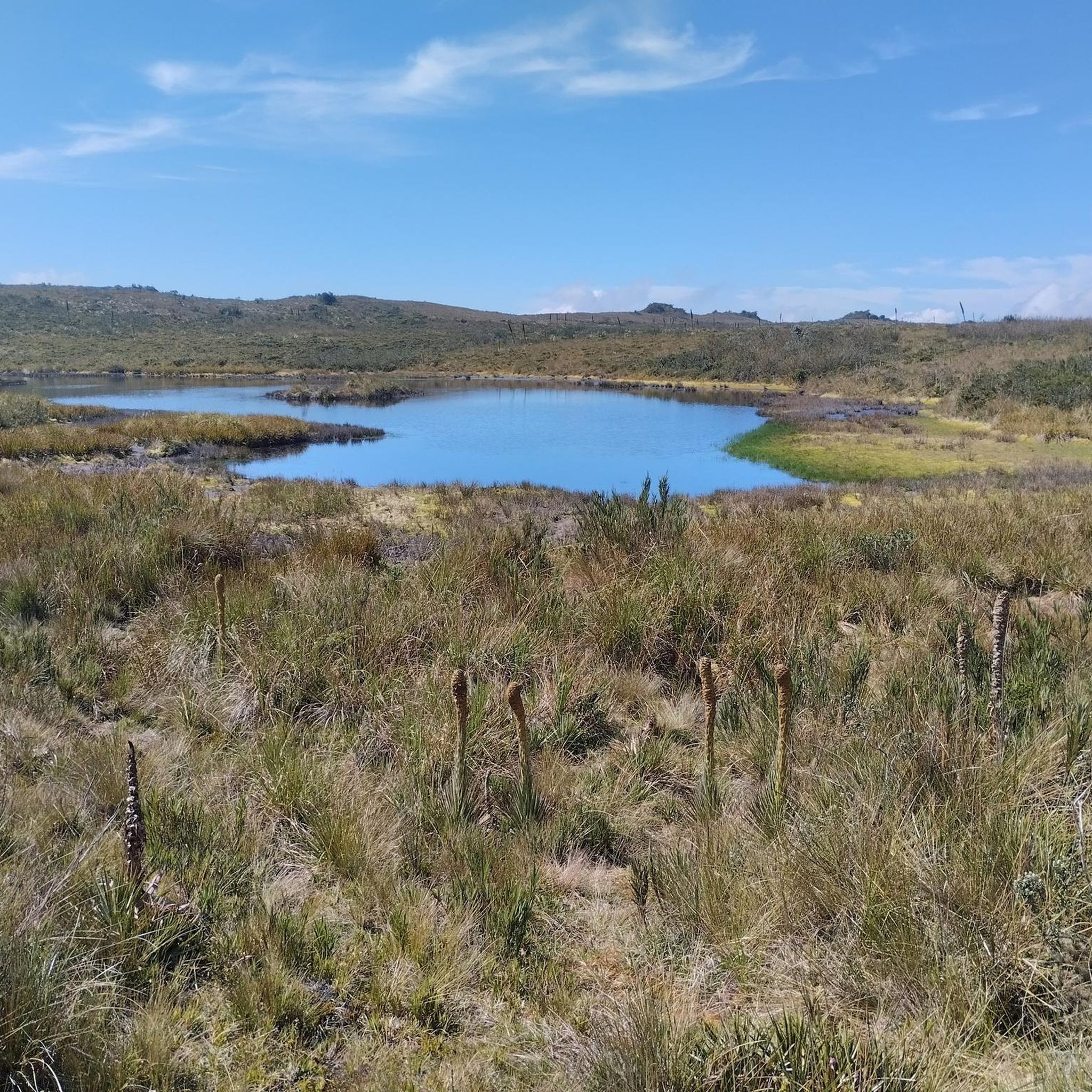
Road Cycling Routes in Reserva Forestal Bosque Oriental De Bogotá
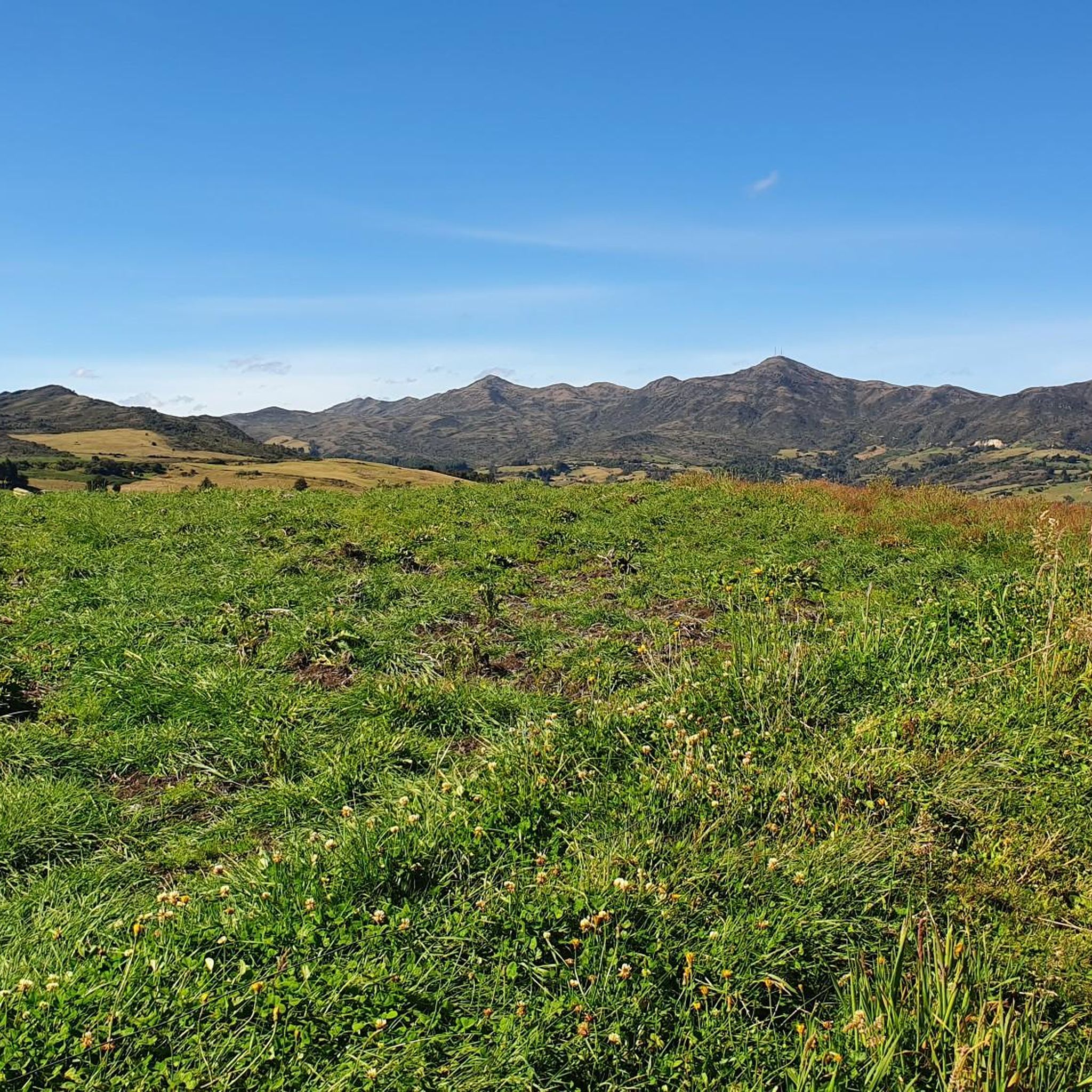
Cycling in Reserva Forestal Bosque Oriental De Bogotá
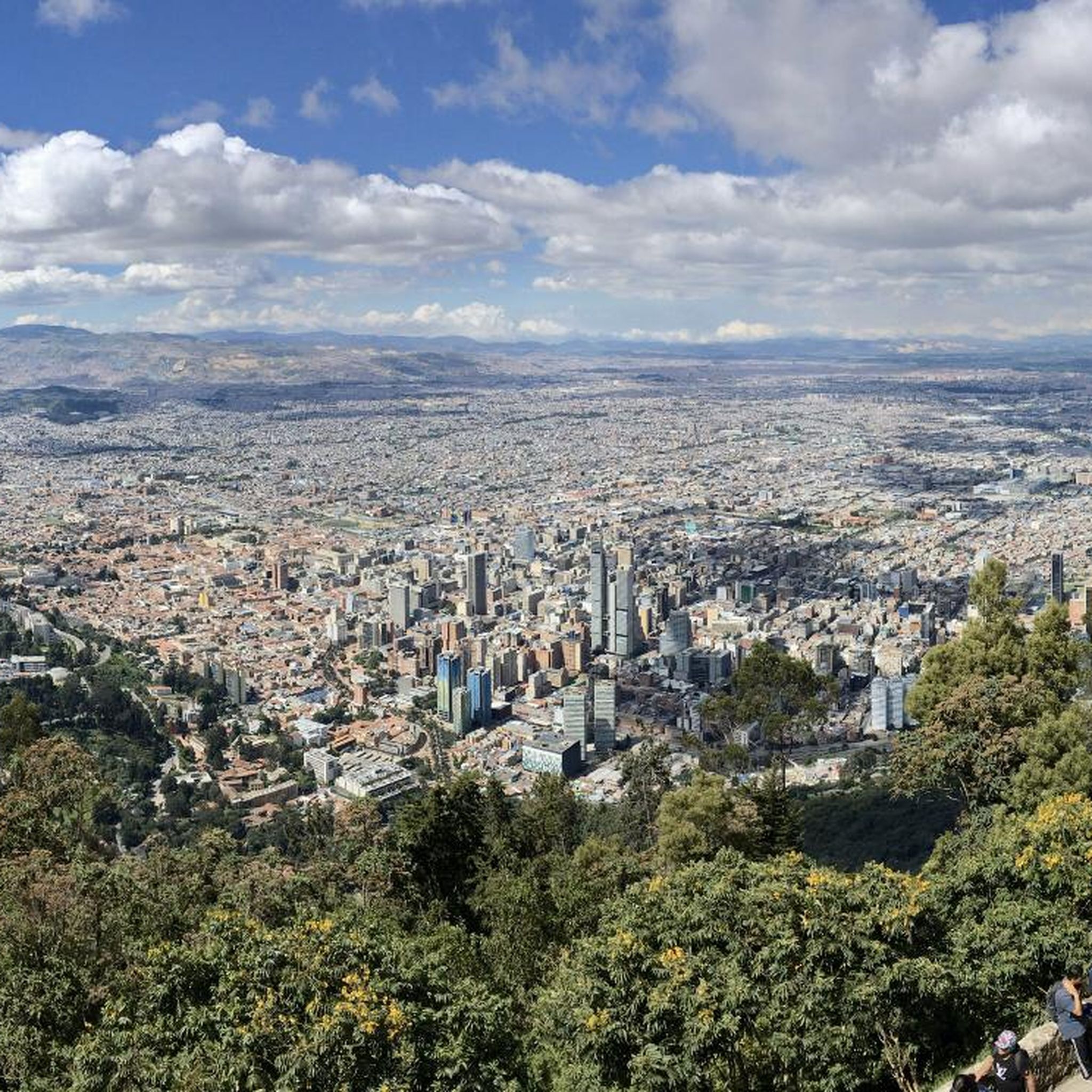
Running Trails in Reserva Forestal Bosque Oriental De Bogotá
MTB Trails in Reserva Forestal Bosque Oriental De Bogotá
Other adventures in Reserva Forestal Bosque Oriental De Bogotá

Tips from the Community

Alto de los Patios offers countless dining options to enjoy Bogotá's sporting atmosphere. The area is usually very busy.
1
0


end of the climb, it's good to have a drink and regain strength
0
0

Excellent route
0
0

A place to climb.
0
0

Excellent ride to test your willpower and physical fitness.
0
0
Frequently Asked Questions
How many gravel bike trails are available in Reserva Forestal Bosque Oriental De Bogotá?
There are over 15 gravel bike trails in Reserva Forestal Bosque Oriental De Bogotá, offering a variety of experiences. Most of these routes are considered difficult, with significant elevation changes, catering to experienced riders.
What kind of terrain can I expect on the gravel bike trails in this region?
The trails in Reserva Forestal Bosque Oriental De Bogotá traverse mountainous terrain within the Eastern Cordillera, featuring elevations from 2,575 to 3,600 meters. You'll encounter high Andean forest, unpaved roads, and mixed-surface paths, providing a challenging and varied environment with considerable climbs and descents.
Are there any scenic viewpoints along the gravel bike routes?
Yes, the region offers breathtaking panoramic views of Bogotá. Notable viewpoints include Mirador de la Virgen, located on the Quebrada La Vieja trail, and Las Moyitas, which provides expansive city vistas from atop the mountain. You can also find stunning views from Patios Summit, Monserrate Hill, and Cerro de Guadalupe.
What are some cultural or historical sites accessible by gravel bike in the area?
The iconic Cerro de Monserrate, a 17th-century pilgrimage site, is accessible via routes within the reserve, allowing you to combine physical activity with cultural exploration. The Cerro de Guadalupe and Christ the Redeemer Statue also offer a significant landmark to visit.
What do other gravel bikers enjoy most about the trails in Reserva Forestal Bosque Oriental De Bogotá?
The area is highly rated by the komoot community, with an average score of 5.0 stars. Reviewers often praise the challenging climbs, the diverse mountainous landscapes, and the rewarding panoramic views of Bogotá. The variety of terrain, from high Andean forest to unpaved roads, is also a frequently highlighted aspect.
Are there any loop routes for gravel biking in the region?
Yes, many routes in Reserva Forestal Bosque Oriental De Bogotá are designed as loops. For example, you can explore the challenging Patios Summit – Alto El Once loop from Estación Usaquén, which covers nearly 100 km, or the Welcome Sign to Tabio – Lourdes Church loop from La Caro.
What is the best time of year for gravel biking in Reserva Forestal Bosque Oriental De Bogotá?
Given the region's mountainous climate, it's generally best to visit during the drier seasons to avoid heavy rains, which can make unpaved trails muddy and more challenging. However, the high elevation means temperatures can be cool year-round, so always be prepared for varied weather conditions.
Are there any routes suitable for beginners or families?
While many routes are classified as difficult due to significant elevation changes, there are options that cater to varying skill levels. It's advisable to check the specific route details on komoot for elevation profiles and distance to find a path that matches your experience. For families, look for routes with less extreme climbs and descents.
How can I access the Reserva Forestal Bosque Oriental De Bogotá for gravel biking?
The reserve's proximity to Bogotá makes it an easily accessible natural escape for city residents. While specific public transport routes directly to trailheads vary, many starting points are reachable by local transport or car. Parking availability should be checked for individual trailheads.
What are some of the natural features I might encounter on the trails?
The reserve is characterized by high Andean forest, though some areas also feature introduced species like pines and eucalyptus. It's a vital ecological corridor and water recharge zone, with water sources feeding several river sub-basins. You'll experience rich biodiversity of flora and fauna, including various mammals, reptiles, birds, amphibians, and insects.
Are there any longer, more challenging gravel bike routes for experienced riders?
Absolutely. For experienced riders seeking a significant challenge, the Patios Summit – Alto El Once loop from Estación Usaquén is a difficult 96.2 km path with over 2,400 meters of elevation gain. Another demanding option is the Welcome Sign to Tabio – Alto de Canicas loop from Estación La Caro, covering nearly 74 km with 1,449 meters of ascent.
Can I find places to eat or drink near the gravel bike trails?
While the reserve itself is a natural area, its proximity to Bogotá and surrounding towns means you can find cafeterias and restaurants nearby. It's recommended to plan your route and check for amenities in the towns or neighborhoods closest to your starting and ending points.
Most popular routes in Reserva Forestal Bosque Oriental De Bogotá
Most popular attractions in Reserva Forestal Bosque Oriental De Bogotá

Get inspired with the komoot mobile app


Explore more
Browse the best Gravel rides in other regions.
