The best gravel rides around Oberleichtersbach
4.9
(14)
75
riders
19
rides
Gravel biking around Oberleichtersbach offers diverse terrain within the Bavarian Rhön Nature Park. The region features rolling hills, dense forests, and scenic river valleys, providing varied backdrops for cycling. Its location in the Rhön, a low mountain range with volcanic origins, includes both challenging ascents and rewarding descents. The landscape is characterized by a mix of paved and unpaved surfaces, making it suitable for gravel bikes, with the Sinn River meandering through the area.
Best gravel bike trails around Oberleichtersbach
…Last updated: July 16, 2026
5.0
(2)
10
riders
34.7km
02:26
740m
750m
Hard gravel ride. Very good fitness required. Mostly paved surfaces. Suitable for all skill levels.
4.5
(2)
14
riders
Hard gravel ride. Very good fitness required. You may need to push your bike for some segments of this route.

Sign up for free
6
riders
Hard gravel ride. Very good fitness required. Mostly paved surfaces. Suitable for all skill levels.
5.0
(1)
7
riders
Hard gravel ride. Very good fitness required. You may need to push your bike for some segments of this route.
5.0
(2)
5
riders
50.9km
03:28
1,000m
1,000m
Hard gravel ride. Very good fitness required. You may need to push your bike for some segments of this route.
Get access to more routes and recommendations from other explorers.
Sign up for free
Already have an account?
Our route recommendations are based on thousands of hikes, rides, and runs completed by other people on komoot.
Start today with a free account
Your next adventure awaits.
Login or Signup
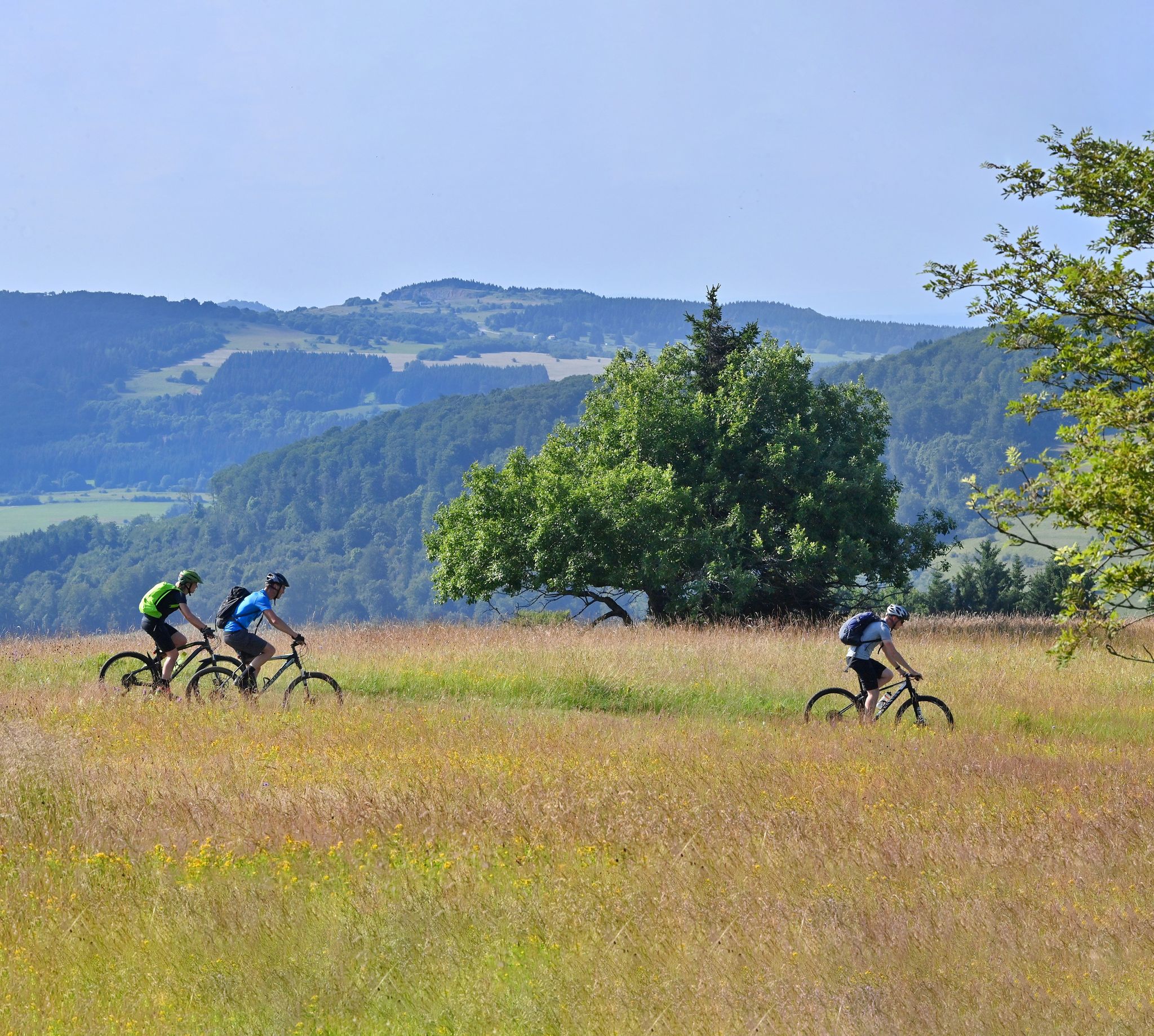
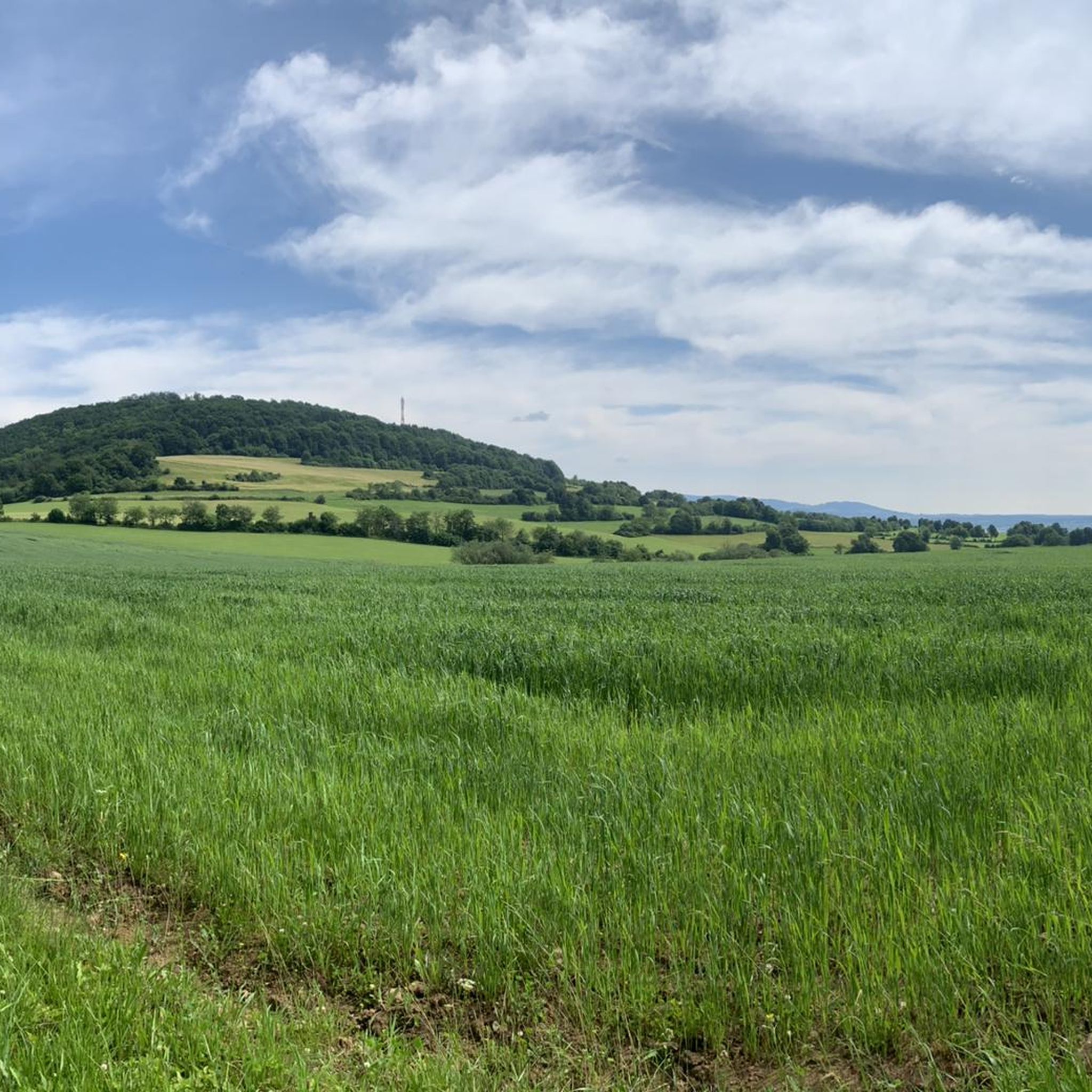
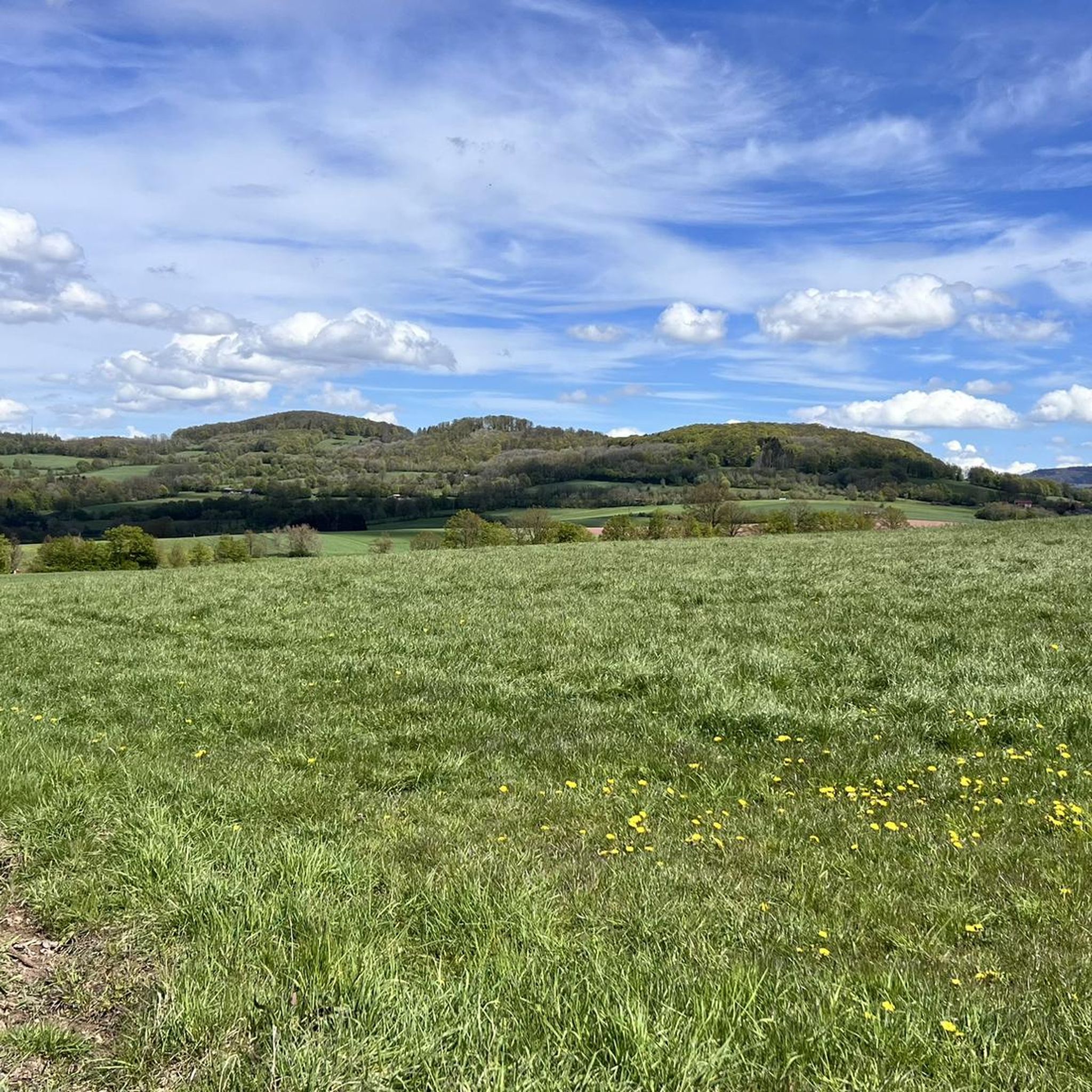
Other adventures around Oberleichtersbach

Tips from the Community

The Arnsberg is located northwest of the Kreuzberg in the Bavarian Rhön. It is a striking and widely visible mountain, 842 m high, which belongs to the natural region of the Hohe Rhön.
1
0

You can ride nicely along the water
0
0

Steep mountain with up to 20% in the forest (shady). Particularly steep in the lower and upper sections, somewhat unrhythmic
0
0

Either you use the bridge, or for the brave among you, ride through the water. Beautiful here and fun
0
0

The Kursaal building, dating from 1830, is one of the most important buildings in the state spa of Brückenau.
6
0

The Rose Garden is a park in the spa town of Bad Kissingen, known for its approximately 160 rose varieties. The multimedia fountain is a special highlight of the complex. Musical water choreographies take place there daily, and after dark, projector shows are projected onto a screen made of water droplets.
1
0

The Kinzig is a river approximately 86 kilometers long. It rises in Sterbfritz, flows southwest through the Main-Kinzig district of Hesse, and flows into the Main from the right in Hanau. The Kinzig is a second-order river in low mountain ranges. It overcomes an elevation of 301 meters and has a bed gradient of 3.5 per thousand. The Kinzig's catchment area covers 1,058 square kilometers, and the calculated mean discharge (MQ) at the mouth of the Kinzig is 10.97 cubic meters per second. The Kinzig was first documented in 796 as "iuxta fluvium Kincihen." In 815, the name was written as "Chinzicha," around 900 as "Kincicha"/"Kinzicham," in 1364 as "Kinzige," in 1584 as "Kintzig," in 1607 as "Bintz," in 1681 as "Kintz," in 1716 as "Kins," in 1769 as "Kinzing," and in 1802 as "Kinzig." In the river's headwaters, there was the now-defunct village of Kinzig, mentioned in 815 as "Chirizichheimero." The village and river were often confused by monastery scribes at that time with "Chizzicha" (now Bad Kissingen), both of which were described as being located in the Saalegau. The name presumably derives from the ancient Celtic *ku̯anti̯o- meaning "flat hill, valley." The name was therefore derived from the mountainous region from which the Kinzig flows. Source: Wikipedia
1
0

The quarry is currently being expanded. From here, you also have a good view of the Rhön Mountains.
0
0
Frequently Asked Questions
How many gravel bike trails are available around Oberleichtersbach?
There are over 30 gravel bike trails available around Oberleichtersbach, offering a variety of routes for different preferences and skill levels. The komoot community has explored these trails over 200 times, highlighting the region's popularity for gravel biking.
What kind of terrain can I expect on gravel bike trails in Oberleichtersbach?
The terrain around Oberleichtersbach is diverse, characterized by rolling hills, dense forests, and scenic river valleys. You'll encounter a mix of paved and unpaved surfaces, including well-maintained paths and more rugged forest tracks, which is ideal for gravel bikes. The region is part of the Rhön, a low mountain range with volcanic origins, offering both challenging ascents and rewarding descents.
Are there gravel bike trails for different skill levels in Oberleichtersbach?
Yes, Oberleichtersbach offers gravel bike trails for various skill levels. While there are no easy routes listed, you can find 8 moderate trails and 25 difficult trails. For example, the View of Schwarzenfels Castle – Sinn Bridge Altengronau loop from Staatsbad Brückenau is a moderate option, while the View from the summit of Kreuzberg – Gemündener Hut loop from Riedenberg presents a more difficult challenge with steady climbs.
What do other cyclists say about the gravel biking experience in Oberleichtersbach?
The gravel biking routes in Oberleichtersbach are highly rated by the komoot community, with an average score of 4.7 stars from over 30 reviews. Cyclists often praise the varied landscapes, the mix of challenging and scenic paths, and the tranquil natural surroundings of the Bavarian Rhön Nature Park.
Are there any interesting natural features or landmarks to see along the gravel bike trails?
Yes, the region is rich in natural beauty and historical landmarks. You can explore the picturesque Sinn River, which meanders through the landscape, or visit various lakes such as Basalt Lake Tintenfass or the Heiligkreuz Fish Ponds. Cultural attractions like Saaleck Castle and the historic St. Laurentius Church also offer points of interest.
Can I find any specific trails or highlights related to water features?
Absolutely. The Sinn River is a prominent feature, and routes like the View of the Schmale Sinn – Sinn River loop from Oberzell follow its course through varied landscapes. Additionally, you can find highlights such as the Beaver Habitat Steiersbach Ziegelhütte and several small ponds and lakes, perfect for a scenic stop.
Are there family-friendly gravel biking options in Oberleichtersbach?
While many gravel routes are moderate to difficult, the Rhönexpress Bahn-Radweg, which is part of the Rhönexpress Rail Cycle Path – Rhönexpress Rail Trail loop from Volkers, offers a consistent and moderate gradient. This rail trail follows a former railway line, making it accessible for various skill levels and a good option for longer tours or family outings, especially if your family is comfortable with longer distances.
Are dogs allowed on the gravel bike trails around Oberleichtersbach?
Generally, dogs are welcome on trails in the Rhön Nature Park, provided they are kept on a leash, especially in sensitive natural areas or near wildlife. It's always advisable to check local signage for specific restrictions on individual paths or protected zones. Ensure your dog is fit enough for the chosen route and bring plenty of water.
Where can I find parking for gravel biking in Oberleichtersbach?
Parking is typically available at trailheads or in the villages surrounding Oberleichtersbach. For routes starting from specific locations like Riedenberg or Volkers, you can usually find designated parking areas. It's recommended to check the starting point details of your chosen komoot tour for precise parking information.
What is the best time of year for gravel biking in Oberleichtersbach?
The best time for gravel biking in Oberleichtersbach is generally from spring to autumn (April to October). During these months, the weather is usually pleasant, and the trails are in good condition. Spring offers lush greenery, while autumn provides beautiful foliage. Winter cycling is possible but may involve snow and ice, requiring appropriate gear and caution.
Are there any circular gravel bike routes available?
Yes, many of the gravel bike routes around Oberleichtersbach are designed as loops, allowing you to start and end at the same point. Examples include the Rhönexpress Rail Cycle Path – Rhönexpress Rail Trail loop from Volkers and the Bad Brückenau State Spa – Rhönexpress Cycle Path loop from Riedenberg, providing convenient options for your ride.
Can I access Oberleichtersbach by public transport with my bike?
Public transport options to Oberleichtersbach and the surrounding Rhön region are available, though carrying bikes may depend on the specific bus or train service. Some regional buses might accommodate bikes, especially those serving tourist routes. It's best to check with local transport providers like the RhönEnergie Fulda for their current bike transport policies and schedules.
Are there places to eat or stay for cyclists in Oberleichtersbach?
Oberleichtersbach and nearby towns offer various options for refreshments and accommodation. You can find local guesthouses, restaurants, and cafes that cater to visitors. The Kurpark of Bad Brückenau, a historic park nearby, also has facilities. For specific cyclist-friendly establishments, it's advisable to check local listings or ask at tourist information centers upon arrival.
Most popular routes around Oberleichtersbach
Most popular attractions around Oberleichtersbach

Get inspired with the komoot mobile app


Explore more
Browse the best Gravel rides in other regions.
