The best running trails around Oberleichtersbach
4.1
(150)
851
runners
12
runs
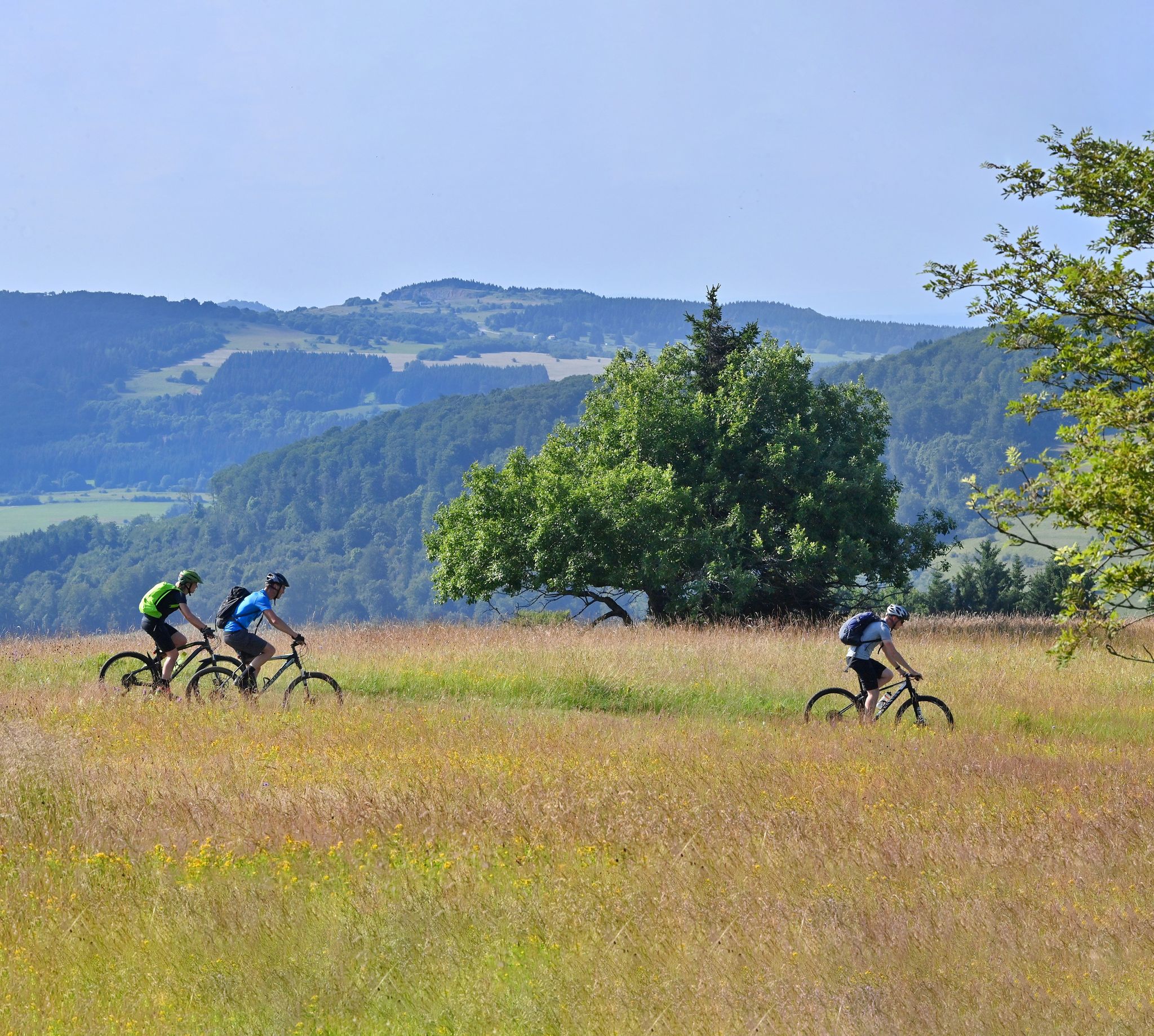
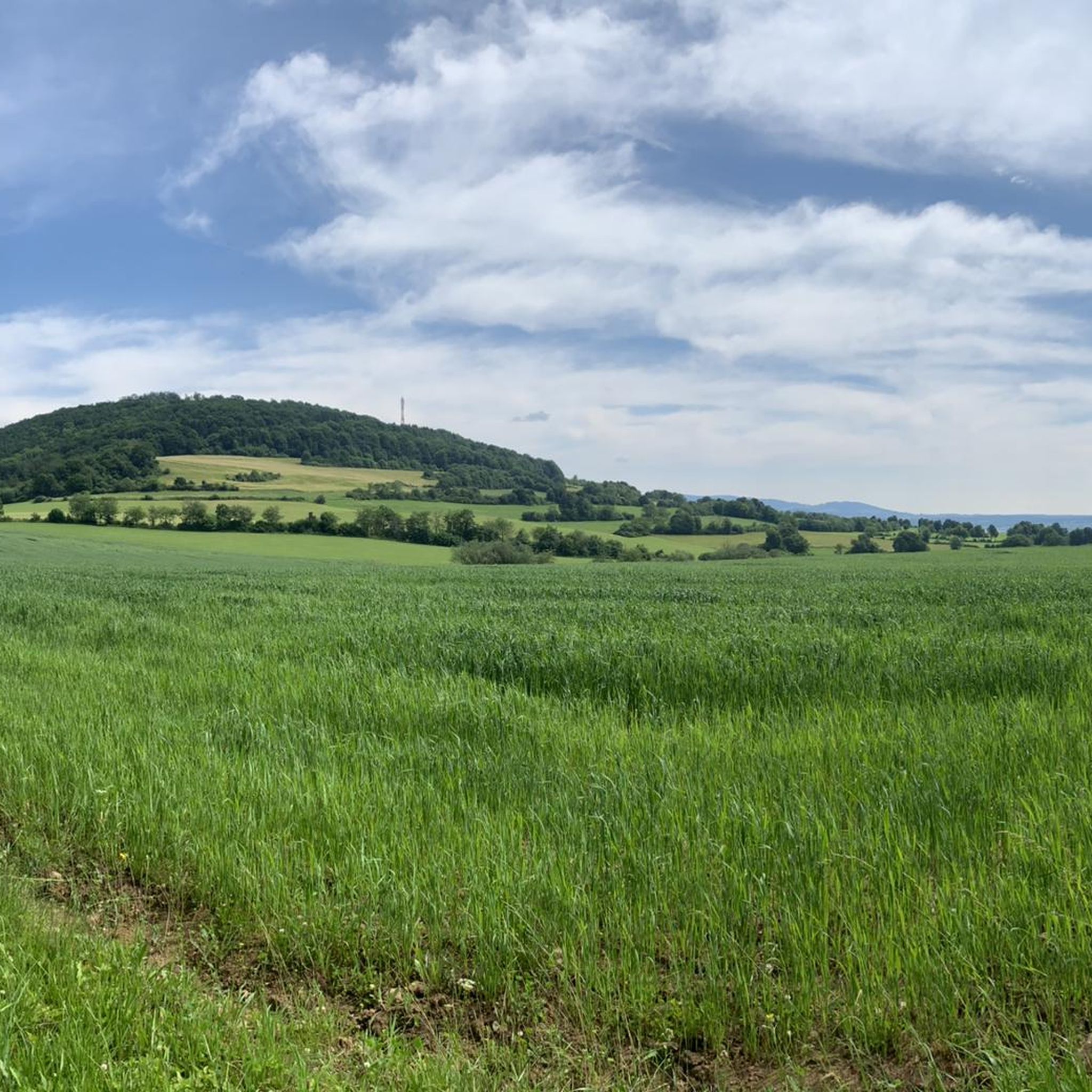
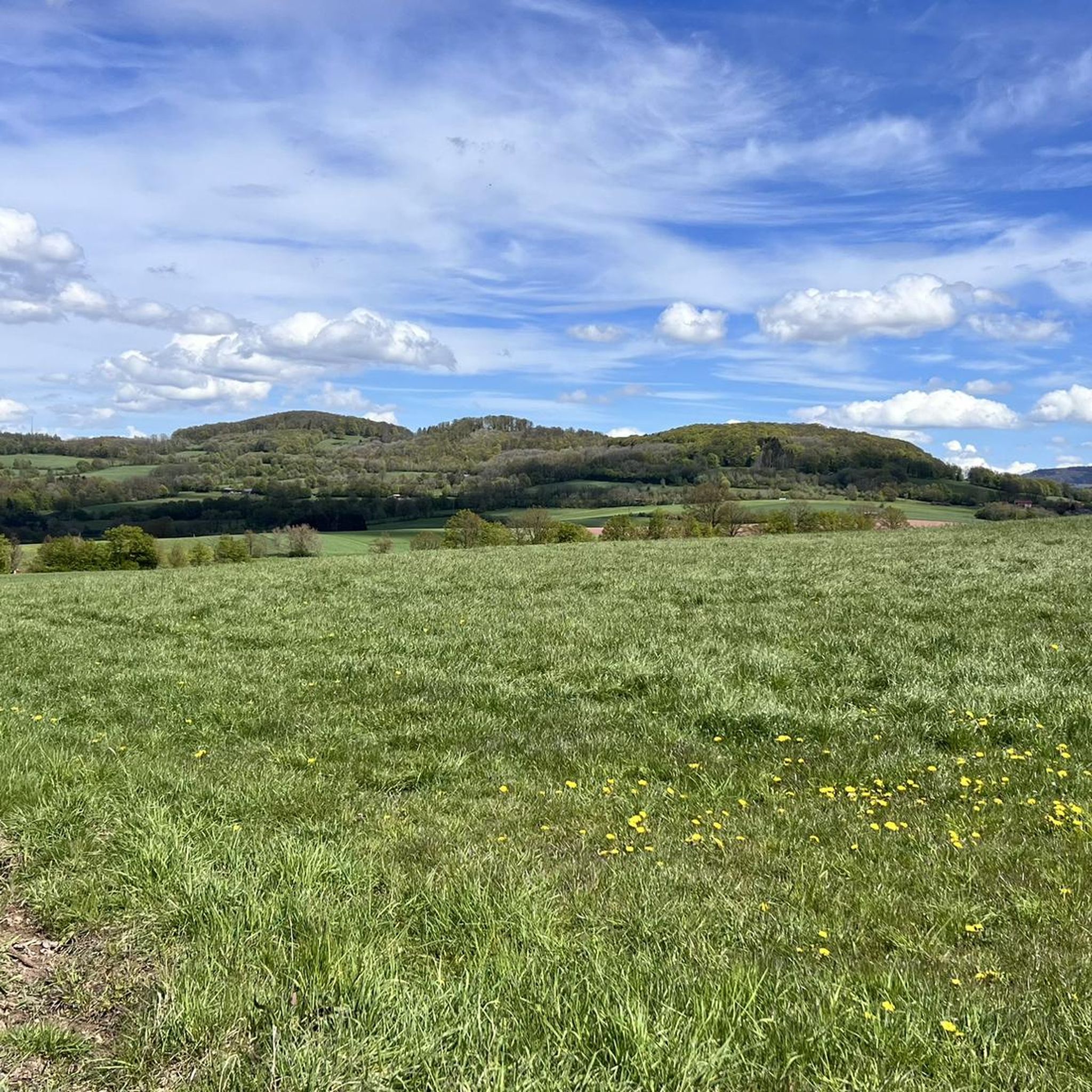
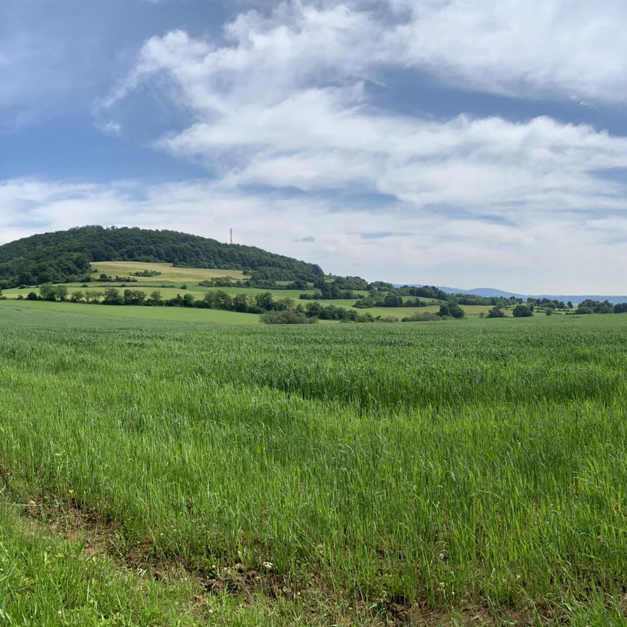
Jogging routes around Oberleichtersbach offer diverse terrain within the Bavarian Rhön Nature Park. The region features rolling hills, dense forests, and scenic valleys, providing varied environments for runners. The landscape includes dome-shaped mountains and open plateaus, with the Sinn River meandering through, offering potential riverside paths. Volcanic formations like the Büchelberg add to the geological diversity.
Best jogging routes around Oberleichtersbach
- The most popular jogging route is Running loop from Dreistelzer Forst, a 3.1 miles (5.0 km) trail that…
Last updated: July 2, 2026
5.0
(3)
10
runners
4.98km
00:32
80m
80m
Easy run. Great for any fitness level. Mostly paved surfaces. Suitable for all skill levels.
5.0
(1)
5
runners
5.57km
00:36
80m
80m
Moderate run. Good fitness required. Mostly paved surfaces. Suitable for all skill levels.

Sign up for free
5
runners
10.2km
01:05
130m
130m
Moderate run. Good fitness required. Mostly paved surfaces. Suitable for all skill levels.
5.0
(1)
5
runners
5.81km
00:38
80m
80m
Moderate run. Good fitness required. Mostly paved surfaces. Suitable for all skill levels.
5.0
(1)
4
runners
6.73km
00:44
100m
100m
Moderate run. Good fitness required. Mostly paved surfaces. Suitable for all skill levels.
Get access to more routes and recommendations from other explorers.
Sign up for free
Already have an account?
Our route recommendations are based on thousands of hikes, rides, and runs completed by other people on komoot.
Start today with a free account
Your next adventure awaits.
Login or Signup

Other adventures around Oberleichtersbach

Tips from the Community

Great place to rest in nature, with a very nice view
2
0
private yard Very nicely situated next to the Pilster heads.
0
0
Great place to rest, with a great view and a small source
4
0
Pilsterhof, very nice location. Privately owned
1
0

Private courtyard beautifully situated on the Pilster (used to be a cafe or a well-known destination)
1
0

Great view of the Dreistelz with seating
2
0
Away from the hustle and bustle, wonderfully quiet and if the 🌞 is still shining... 😍
2
0
Wonderfully idyllic with a view of the dreistelz
3
0
Frequently Asked Questions
How many running routes are available around Oberleichtersbach?
Komoot offers a selection of over 10 running routes around Oberleichtersbach, catering to various fitness levels. These include easy, moderate, and a few more challenging trails through the diverse landscapes of the Bavarian Rhön Nature Park.
What kind of terrain can I expect on the jogging routes in Oberleichtersbach?
The jogging routes in Oberleichtersbach feature a varied terrain, characterized by rolling hills, dense forests, and scenic valleys. You'll encounter both challenging inclines and shaded paths, with some areas offering open plateaus and even volcanic formations like the Büchelberg, providing a dynamic running experience.
Are there any easy running routes suitable for beginners or a relaxed jog?
Yes, there are several easy running routes. An excellent option for a relaxed jog is the Running loop from Dreistelzer Forst, which is 3.1 miles (5.0 km) long with an elevation gain of 259 feet (79 meters), making it perfect for an enjoyable outing.
Can I find longer or more challenging running trails in the area?
Absolutely. For those seeking a longer or more challenging run, routes like the Running loop from Römershager Forst-Ost offer a moderate 6.3 miles (10.2 km) through forest areas. The region's rolling hills and varied terrain provide ample opportunities for more strenuous workouts.
What natural features or landmarks can I see along the running routes?
The routes often pass through the picturesque Bavarian Rhön Nature Park, offering views of dense forests and scenic valleys. You might encounter the meandering Sinn River, or unique geological features. Notable attractions nearby include the Basalt Lake Tintenfass, an absolute hiking highlight, and the Würzburger Karl-Straub-Haus, which serves as a great destination or intermediate point for tours.
Are there any family-friendly jogging options in Oberleichtersbach?
While specific family-designated jogging routes aren't listed, the region's extensive trail network includes many easy paths suitable for families. The 'Pure Nature' Adventure Trail, though primarily for hiking, is child-friendly and leads through forests and past streams, offering a playful environment for a family run.
What is the best season for running in Oberleichtersbach?
The best seasons for outdoor activities, including running, in Oberleichtersbach are spring and autumn. During these times, nature is vibrant with blossoming flowers or colorful foliage, and temperatures are pleasantly mild, making for ideal running conditions.
Are the running trails in Oberleichtersbach dog-friendly?
Many trails in the Bavarian Rhön Nature Park are generally dog-friendly, but it's always advisable to keep dogs on a leash, especially in nature reserve areas or near wildlife. Always be mindful of local regulations and other trail users.
Are there running routes that are loop trails?
Yes, many of the running routes around Oberleichtersbach are designed as convenient loop trails. Examples include the Running loop from Oberleichtersbach and the Pilsterhof loop from Römershager Forst-Ost, allowing you to start and finish at the same point.
What do other runners say about the jogging routes in Oberleichtersbach?
The running routes in Oberleichtersbach are highly rated by the komoot community, with an average score of 4.1 stars from over 140 reviews. Runners often praise the quiet woodlands, varied local scenery, and well-maintained paths that make for an enjoyable experience.
Is there parking available near the running trails?
Yes, many starting points for trails in the region, such as those near the Würzburger Karl-Straub-Haus, offer convenient parking facilities. It's generally easy to find parking close to the entry points of popular running routes.
Are there any relatively flat running paths, perhaps along a river?
While the region is known for rolling hills, the Sinn River meanders picturesquely through the landscape, offering idyllic spots and potentially flatter, riverside running paths. Additionally, the Rhönexpress Bahn-Radweg, built on a former railway line, provides a relatively flat and scenic route with minimal gradient, suitable for joggers.
Most popular routes around Oberleichtersbach
Most popular attractions around Oberleichtersbach

Get inspired with the komoot mobile app


Explore more
Browse the best Running Trails & Routes in other regions.
