The best hikes from bus stations around Oberleichtersbach
4.6
(6244)
23,017
hikers
30
hikes
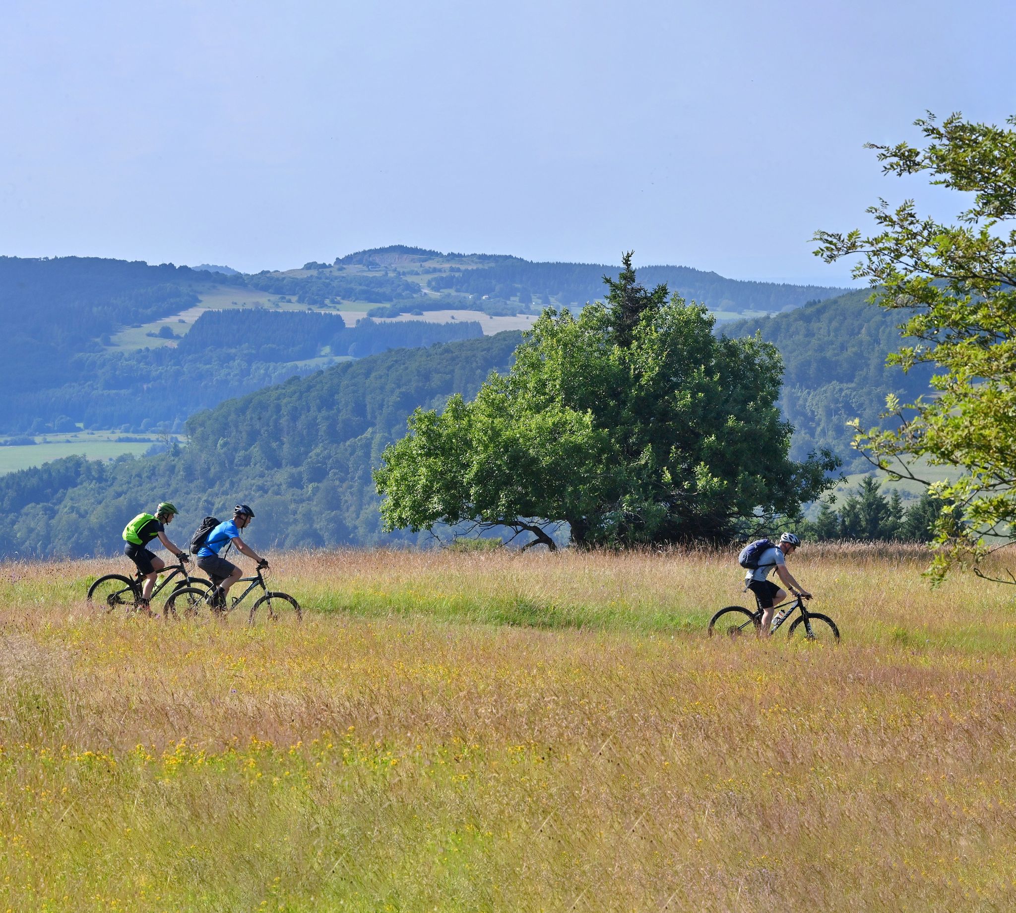
Bus station hiking trails around Oberleichtersbach traverse the diverse landscapes of the Bavarian Rhön Nature Park, a UNESCO biosphere reserve. The region features rolling hills, ancient volcanic basaltine hilltops, expansive meadows, and extensive woodlands. The Sinn River meanders through the area, and notable peaks like Dreistelzkopf offer panoramic views. This varied terrain provides a range of hiking experiences for different abilities.
Best bus station hiking trails around Oberleichtersbach
- The most popular bus station hiking route is Pilsterhof – In Conversation Fountain loop from Römershager Forst-Ost, a 7.4 miles (11.9 km) trail that takes 3 hours 25 minutes to complete. This route explores the woodlands and open areas of Römershager Forst-Ost.
- Another top favourite among local hikers is Ascent of Dreistelzkopf – Dreistelz Trail loop from Dreistelzer Forst, a moderate 5.2 miles (8.4 km) path. This trail leads to the Dreistelzkopf, offering views from its observation tower.
- Local hikers also love the View from Dreistelz loop from Dreistelzer Forst, a 2.9 miles (4.7 km) trail leading through forested areas, often completed in about 1 hour 28 minutes.
- Hiking around Oberleichtersbach is defined by rolling hills, dense woodlands, and the unique basaltine hilltops of the Rhön Nature Park. The network offers options for various ability levels, from easy walks to more challenging ascents.
- The routes in Oberleichtersbach are highly rated by the komoot community with an average score of 4.6 stars from over 5800 reviews. More than 23000 hikers have used komoot to explore Oberleichtersbach's varied terrain.
Last updated: July 11, 2026
5.0
(4)
23
hikers
11.9km
03:25
300m
300m
Moderate hike. Good fitness required. Easily-accessible paths. Suitable for all skill levels.
4.8
(4)
13
hikers
Moderate hike. Good fitness required. Easily-accessible paths. Suitable for all skill levels.

Sign up for free
4.3
(3)
13
hikers
Moderate hike. Good fitness required. Easily-accessible paths. Suitable for all skill levels.
5.0
(3)
14
hikers
4.67km
01:28
180m
180m
Moderate hike. Great for any fitness level. Mostly accessible paths. Sure-footedness required.
4.6
(5)
14
hikers
Moderate hike. Good fitness required. Easily-accessible paths. Suitable for all skill levels.
Get access to more routes and recommendations from other explorers.
Sign up for free
Already have an account?
Our route recommendations are based on thousands of hikes, rides, and runs completed by other people on komoot.
Start today with a free account
Your next adventure awaits.
Login or Signup
Popular around Oberleichtersbach
Other adventures around Oberleichtersbach

Tips from the Community

This pergola has grown beautifully.
6
0
I really like this artwork. 😊
8
0
Near the Sinn Bridge stands the photogenic old town hall. Some information for visitors can be found in front of it.
6
0

Beautiful view of the Rhön and surrounding area.
0
0

Well-maintained barbecue area with a beautiful view near Bad Brückenau.
2
0


Interesting
3
0

The chestnut avenue in the Bad Brückenau state spa is a magical destination that impresses with its idyllic atmosphere. The avenue, lined with old chestnut trees, connects historic buildings and the well-kept spa gardens in a picturesque way. It is particularly enchanting in spring and autumn with its splendor of colors and offers walkers and hikers a perfect place to slow down. The quiet, elegant surroundings invite you to linger and make the chestnut avenue a highlight for nature lovers and photographers alike. A place that brings peace and beauty into harmony!
0
0
Frequently Asked Questions
How many bus station hiking trails are available around Oberleichtersbach?
There are over 30 hiking routes around Oberleichtersbach that are easily accessible from bus stations. These trails offer a variety of experiences, from leisurely strolls to more challenging ascents, all designed to start conveniently from public transport stops.
What kind of landscapes can I expect on these bus-accessible hikes?
The trails accessible from bus stations in Oberleichtersbach traverse the picturesque Bavarian Rhön Nature Park. You'll encounter rolling hills, expansive meadows, and extensive woodlands. Many routes feature ancient volcanic basaltine hilltops, and some follow the meandering Sinn River, offering diverse and scenic views.
Are there easy hiking options accessible by bus for a relaxed outing?
Yes, among the bus-accessible routes, 12 are rated as easy, making them perfect for a relaxed outing. These trails are generally shorter with less elevation gain, allowing you to enjoy the natural beauty without strenuous effort. Look for routes that explore the river valleys or flatter meadow areas.
Can I find circular routes starting from bus stops in Oberleichtersbach?
Absolutely. Many of the bus-accessible trails are designed as circular routes, bringing you back to your starting point. For example, the Pilsterhof – In Conversation Fountain loop from Römershager Forst-Ost is a moderate circular hike that offers a great experience.
Are these trails suitable for families with children?
Yes, many trails are suitable for families. The easier routes, in particular, offer pleasant walks through nature. The region's diverse landscape provides plenty of opportunities for children to explore. Consider routes that pass through woodlands or near the Sinn River for engaging natural experiences.
Are dogs allowed on the bus station hiking trails?
Generally, dogs are welcome on the hiking trails around Oberleichtersbach, especially within the Rhön Nature Park. However, it's always recommended to keep them on a leash, particularly in nature reserves, near livestock, or during nesting seasons, to protect wildlife and ensure a pleasant experience for everyone.
What interesting sights or landmarks can I discover along these routes?
The bus-accessible trails offer access to several notable points of interest. You might encounter the impressive Legend of the Three Proud Ladies of Dreistelz, or enjoy panoramic views from the Platzer Kuppe summit. The region is also known for its historic villages and the scenic Sinn River.
When is the best time of year to hike around Oberleichtersbach using public transport?
Spring and autumn are particularly beautiful times to hike. In spring, the landscape awakens with lush greenery and blossoms, while autumn offers vibrant foliage. Summer is also great, but be prepared for warmer weather. Even in winter, there are short, easy trails available, offering a serene, snow-covered experience.
Are there any specific routes that offer panoramic views?
Yes, for breathtaking panoramic views, consider routes that ascend the Dreistelzkopf. The Ascent of Dreistelzkopf – Dreistelz Trail loop from Dreistelzer Forst is a moderate option that leads to the observation tower, providing impressive vistas of the surrounding Rhön landscape.
What do other hikers say about the bus-accessible trails in Oberleichtersbach?
The komoot community highly rates the hiking experiences around Oberleichtersbach, with an average score of 4.6 stars from over 5,800 ratings. Hikers often praise the well-maintained paths, the tranquility of the Rhön Nature Park, and the diverse scenery, from dense forests to open meadows and impressive viewpoints.
Are there any longer, more challenging hikes I can start from a bus station?
Yes, for those seeking a greater challenge, there are 20 moderate and 1 difficult route accessible by bus. These trails typically cover longer distances and include more significant elevation changes. An example of a moderate route is the Elisabethenhof, Bad Brückenau – Bad Brückenau Spa Park loop from Dreistelzer Forst, offering a rewarding experience.
Can I find places to eat or rest near the bus station trails?
While specific cafes directly at every bus stop might be rare, many trails pass through or near villages where you can find traditional Bavarian guesthouses or small eateries. It's advisable to check local amenities for your chosen route beforehand, especially in smaller, more remote areas of the Rhön Nature Park.
Most popular routes around Oberleichtersbach
Most popular attractions around Oberleichtersbach

Get inspired with the komoot mobile app


Explore more
Browse the best Hikes in other regions.
