The best gravel rides around Vallinfreda
4.3
(3)
51
riders
5
rides
Gravel biking around Vallinfreda offers diverse landscapes, from the protected areas of Monti Simbruini Regional Nature Park to scenic lake regions. The terrain features a mix of unpaved "white roads," dirt tracks, and forest roads, connecting small villages and natural features. Significant elevation changes are common, providing challenging climbs and descents across the region's varied topography.
Best gravel bike trails around Vallinfreda
- The most popular gravel bike trail is View of Pereto and the Castle – Border of the Papal…
Last updated: July 18, 2026
9
riders
70.0km
06:33
1,690m
1,690m
Hard gravel ride. Very good fitness required. Mostly paved surfaces. Suitable for all skill levels.
3.0
(2)
8
riders
34.2km
03:31
950m
940m
Hard gravel ride. Very good fitness required. Mostly paved surfaces. Suitable for all skill levels.

Sign up for free
5.0
(1)
12
riders
78.9km
05:28
1,580m
1,580m
Hard gravel ride. Very good fitness required. Mostly paved surfaces. Suitable for all skill levels.
15
riders
88.7km
06:34
2,070m
2,070m
Hard gravel ride. Very good fitness required. Mostly paved surfaces. Suitable for all skill levels.
5.0
(1)
10
riders
72.5km
05:01
1,450m
1,450m
Hard gravel ride. Very good fitness required. Mostly paved surfaces. Suitable for all skill levels.
Our route recommendations are based on thousands of hikes, rides, and runs completed by other people on komoot.
Start today with a free account
Your next adventure awaits.
Login or Signup
Tips from the Community

Descending through a beautiful beech forest from the SS Trinità parking lot, you reach the Cippi Papalini. Two centuries ago, they were the border between the Kingdom of the Two Sicilies and the Papal States, now Abruzzo and Lazio. We are also at the intersection of the three provinces of Rome, L'Aquila, and Frosinone.
0
0
Beautiful climb among the beech trees from Campo Lungo to the Maddalena Refuge on Monte Morbano
0
0


In the heart of the Aniene Valley, Subiaco is a medieval village rich in history, art and culture. It is immersed in the flora and fauna of the Simbruini Mountains Regional Natural Park.
0
0

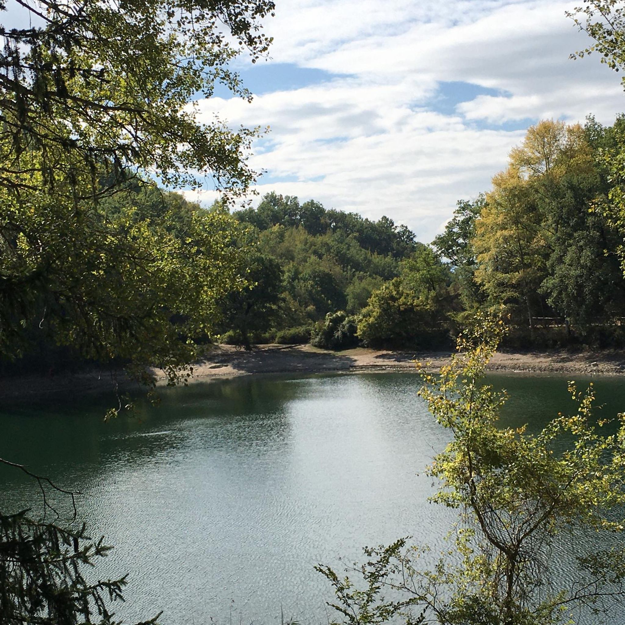
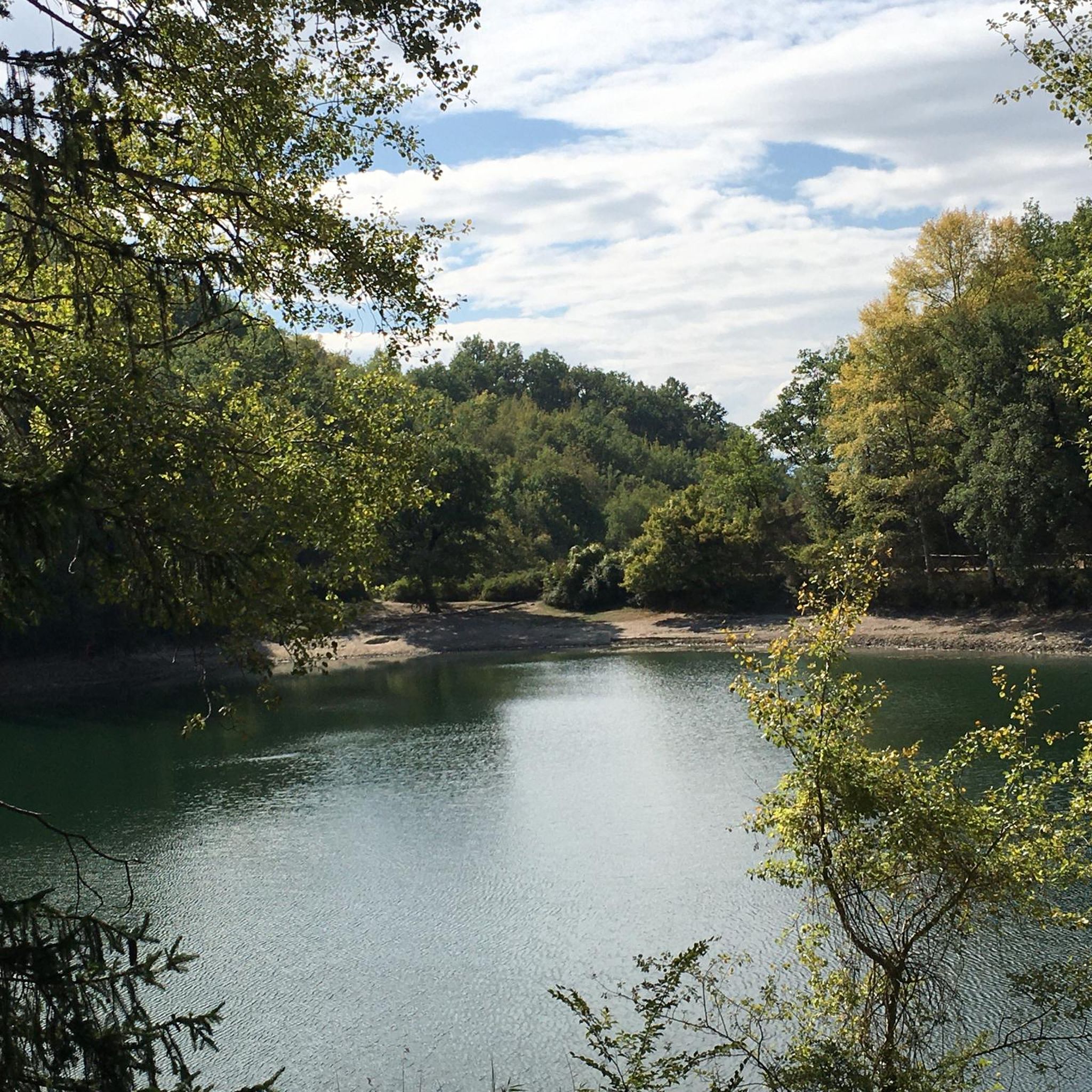
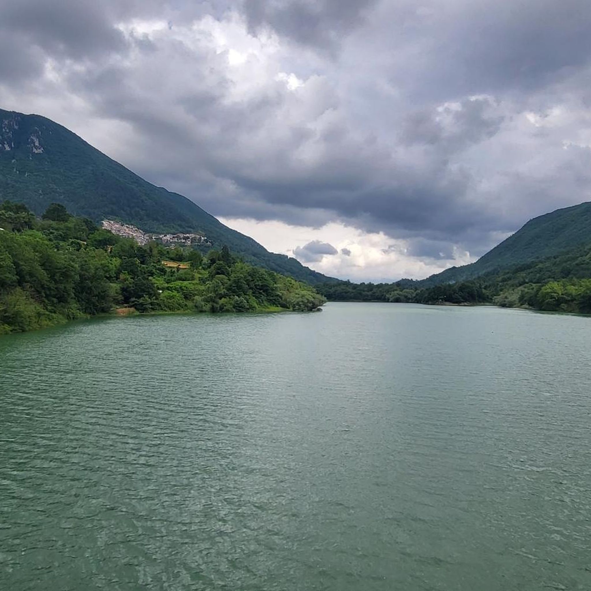
Beautiful cove reminiscent of Nordic landscapes.
0
0

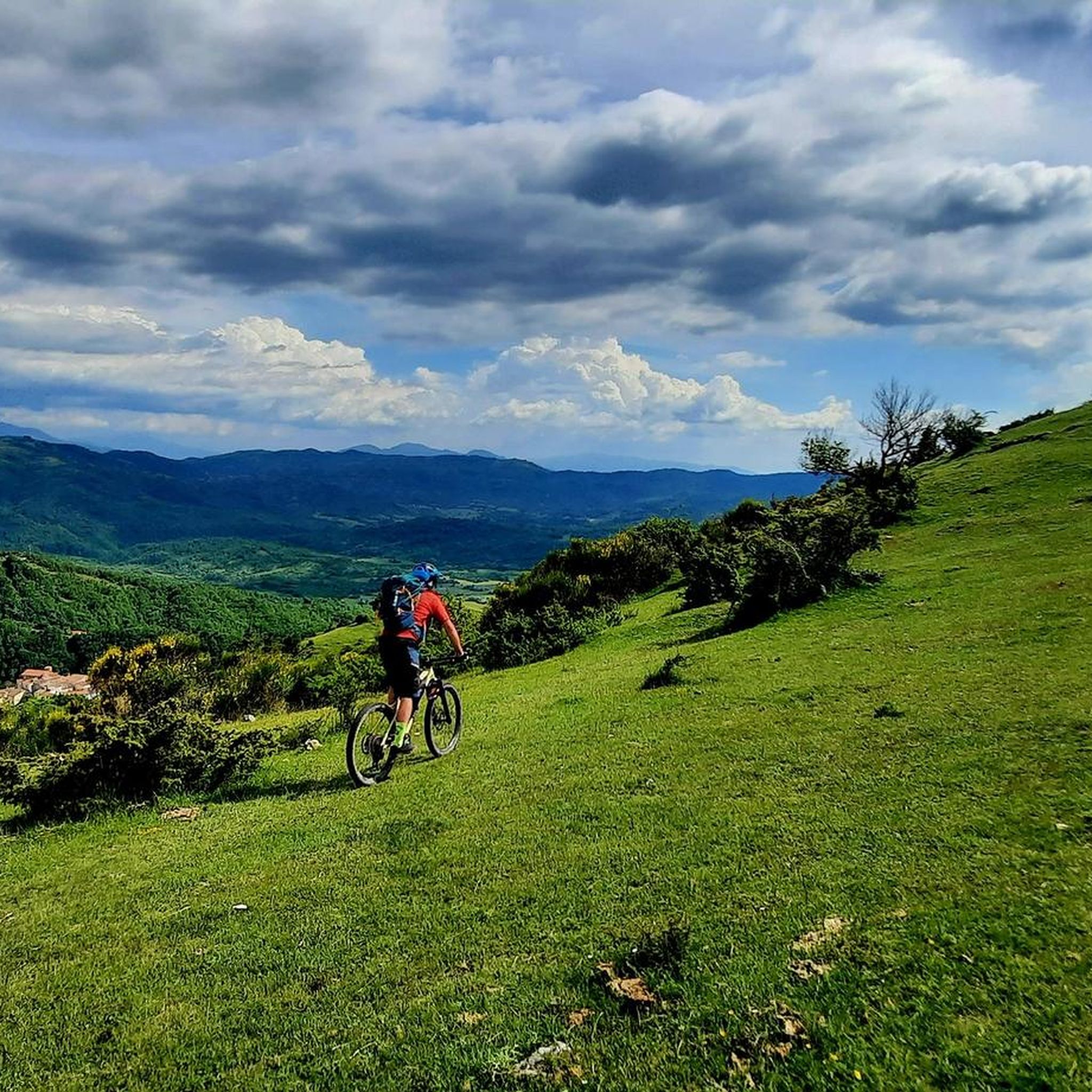
The Simbruini Mountains Park is a protected mountain area with peaks reaching 2000 meters in altitude. Here you pedal immersing yourself in breathtaking views!
1
0
Located at almost 1400 meters above sea level, the Sanctuary of the Holy Trinity dominates the surrounding valleys and is located in front of Monte Autore which reaches 1800 m above sea level
1
0
Subiaco is a town in the heart of the Aniene Valley and is rich in history. It is famous, for example, for its Benedictine monasteries.
1
0
Frequently Asked Questions
What kind of terrain can I expect on gravel bike trails around Vallinfreda?
The terrain around Vallinfreda is characterized by diverse landscapes, including unpaved "white roads," dirt tracks, and forest roads. You'll encounter significant elevation changes, providing challenging climbs and descents across the region's varied topography, particularly within the Lucretili Mountains and Monti Simbruini Regional Nature Park.
Are there many gravel biking routes available in Vallinfreda?
There are 5 challenging gravel biking routes detailed in this guide for the Vallinfreda area. These routes are designed for experienced riders seeking endurance and technical skills.
What is the typical difficulty level of gravel bike routes near Vallinfreda?
All gravel biking routes listed for Vallinfreda are rated as difficult. They feature significant elevation gains and varied surfaces, making them suitable for experienced gravel bikers looking for a challenge.
Are there any family-friendly or easy gravel routes in Vallinfreda?
Given the significant elevation changes and technical terrain, the routes around Vallinfreda are generally considered difficult and are best suited for experienced gravel bikers. There are no easy or family-friendly routes listed in this guide.
What are some natural features or landmarks I can see along the gravel bike trails?
The region offers stunning natural features and historical sites. You might encounter the unique karst phenomena of Lagustelli di Percile, or pass by the imposing Pizzo Pellecchia. Historical religious buildings like Santa Maria del Piano are also points of interest.
Are the gravel bike routes in Vallinfreda typically circular?
Yes, all the gravel bike routes featured in this guide are designed as loops, allowing you to start and finish at the same point. For example, the View of Pereto and the Castle – Border of the Papal State loop from Oricola is a popular circular option.
What do other gravel bikers say about the routes in Vallinfreda?
The gravel biking routes in Vallinfreda are highly rated by the komoot community, with an average score of 4.0 stars. Riders often praise the challenging terrain, extensive views, and the opportunity to explore varied surfaces away from traffic.
What is a good route for an advanced gravel biker seeking a long, challenging ride?
For an advanced and lengthy challenge, consider the Campaegli scenic viewpoint – Monte Autore Viewpoints loop from Roviano. This route spans nearly 89 km with over 2000 meters of elevation gain, offering a demanding experience through diverse landscapes.
Are there any shorter, yet still challenging, gravel routes in the area?
If you're looking for a shorter but still difficult ride, the Licenza – Orvinio Historic Village loop from Valle dell'Aniene-Mandela-Sambuci is a great option. It covers about 37 km with over 800 meters of elevation, taking you through scenic areas and past the charming Orvinio historic village.
What is the best time of year to go gravel biking in Vallinfreda?
The region's diverse landscapes, from rolling hills to rugged mountains, are enjoyable in various seasons. Spring and autumn generally offer pleasant temperatures and vibrant scenery, ideal for tackling the challenging routes. Summer can be warm, especially at lower elevations, while winter might bring colder conditions and potential snow in higher mountain areas.
Are there any places to stop for refreshments or shelter along the routes?
While specific cafes directly on every route are not guaranteed, the Casa del Pastore Mountain Hut is a notable stopping point before the uphill stretch to Mount Pellecchia, offering shelter for those exploring the mountains. Many routes also pass through or near small villages where you might find local amenities.
Most popular attractions around Vallinfreda

Get inspired with the komoot mobile app


Explore more
Browse the best Gravel rides in other regions.
