The best gravel rides around Guillaumes
4.9
(6)
53
riders
7
rides
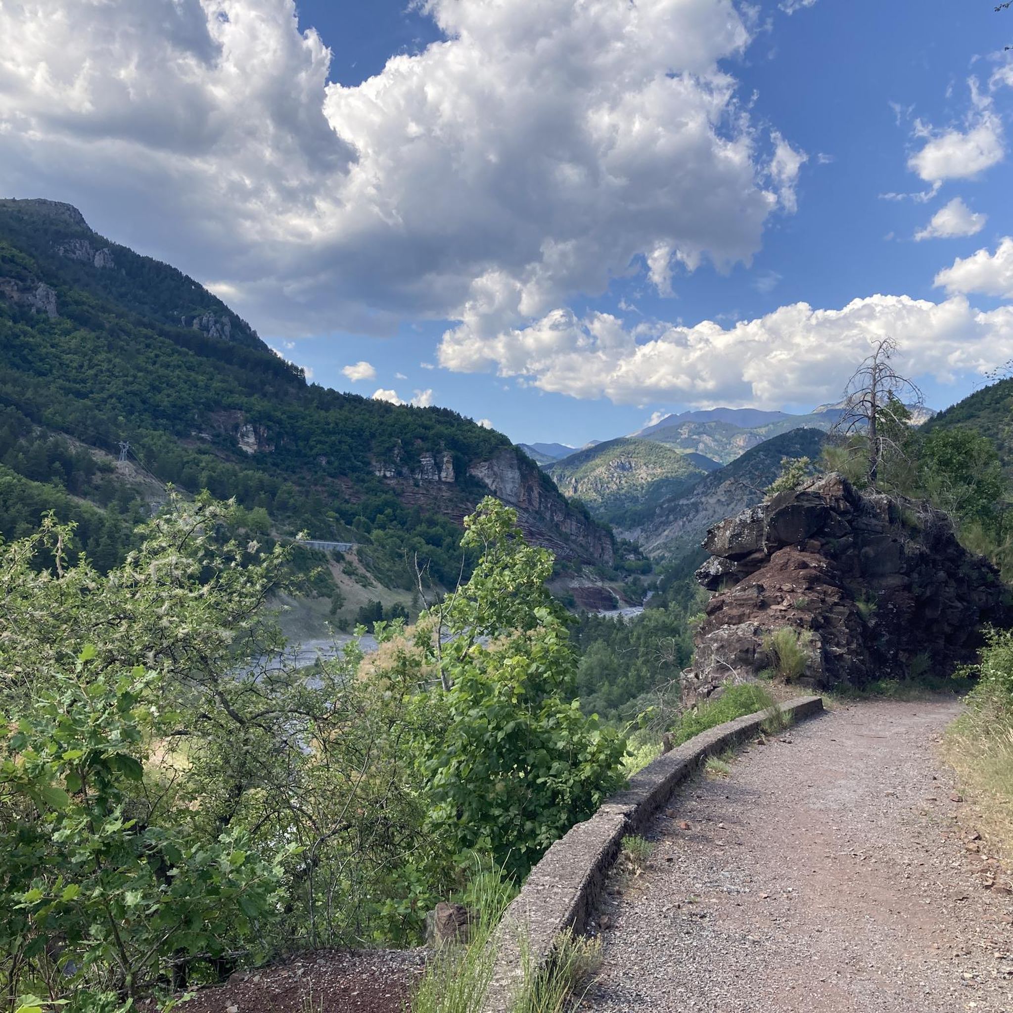
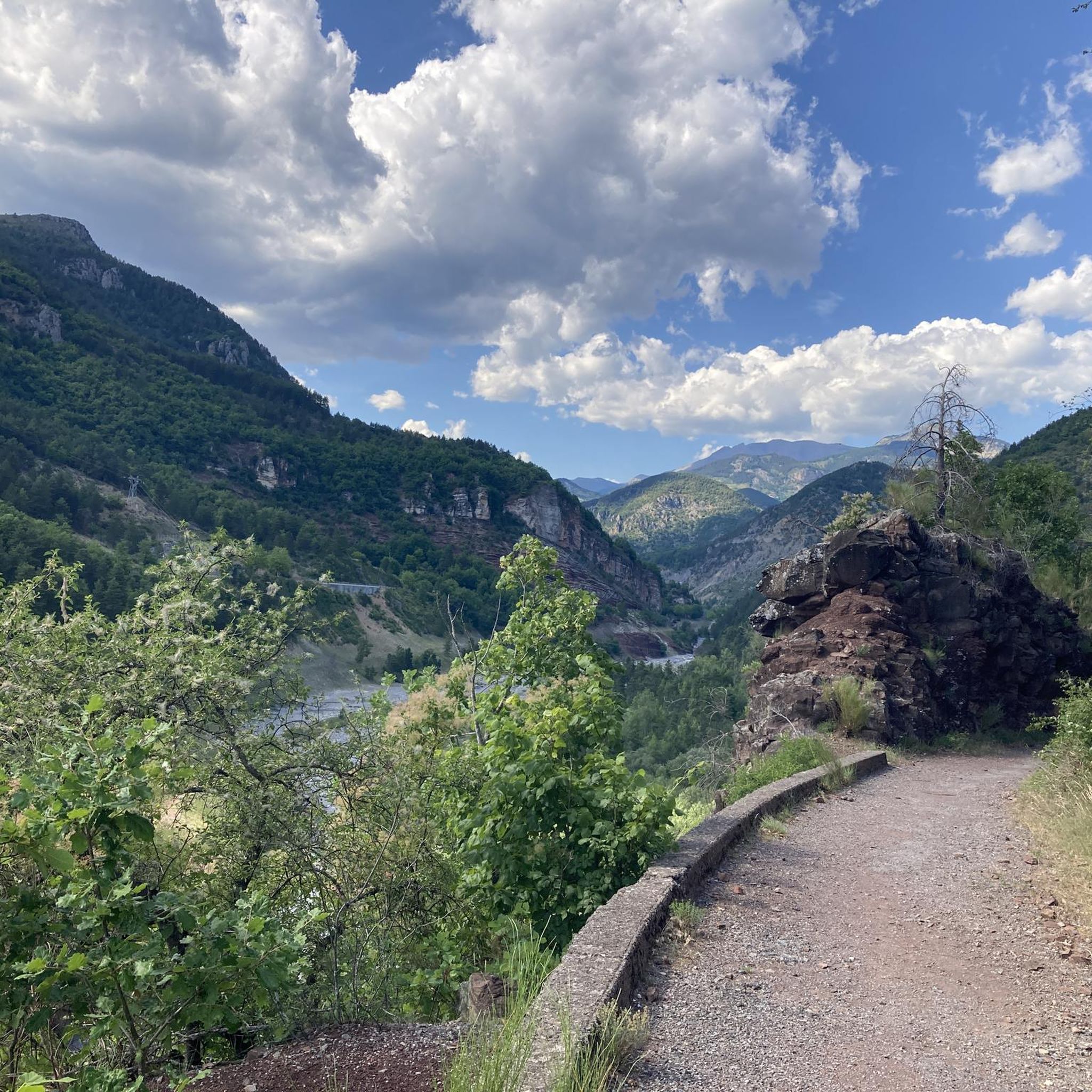
Gravel biking around Guillaumes offers routes through the mountainous terrain of the French Alps, characterized by significant elevation changes and scenic passes. The region features a network of trails that traverse valleys, climb to high cols, and provide views of the surrounding natural landscape. These routes often involve sustained ascents and descents, typical of alpine environments.
Best gravel bike trails around Guillaumes
- The most popular gravel bike trail is Col du Raton – Raton loop from Valberg, a 15.7…
Last updated: July 16, 2026
4.5
(4)
20
riders
28.2km
02:48
910m
910m
Hard gravel ride. Very good fitness required. Mostly paved surfaces. Suitable for all skill levels.
5.0
(2)
14
riders
39.8km
03:26
1,000m
1,010m
Hard gravel ride. Very good fitness required. Mostly paved surfaces. Suitable for all skill levels.

Sign up for free
7
riders
26.9km
02:40
1,010m
1,000m
Hard gravel ride. Very good fitness required. Mostly paved surfaces. Suitable for all skill levels.
13
riders
105km
08:49
3,220m
3,230m
Hard gravel ride. Very good fitness required. Mostly paved surfaces. Suitable for all skill levels.
5.0
(1)
5
riders
21.8km
01:57
560m
560m
Hard gravel ride. Very good fitness required. Mostly paved surfaces. Suitable for all skill levels.
Get access to more routes and recommendations from other explorers.
Sign up for free
Already have an account?
Our route recommendations are based on thousands of hikes, rides, and runs completed by other people on komoot.
Start today with a free account
Your next adventure awaits.
Login or Signup

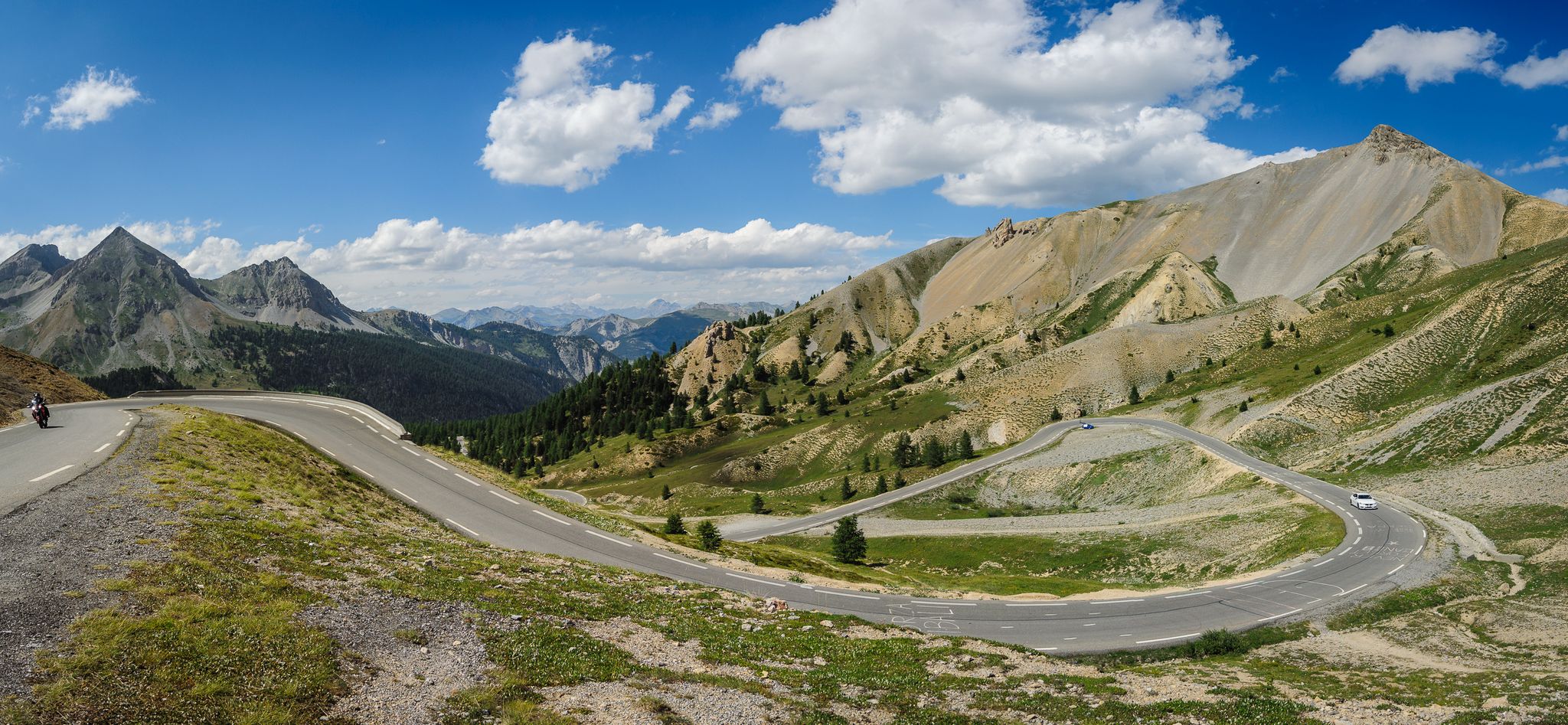
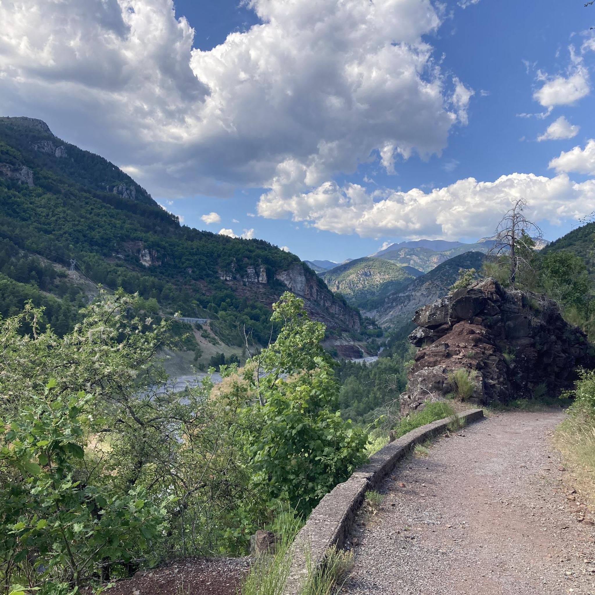
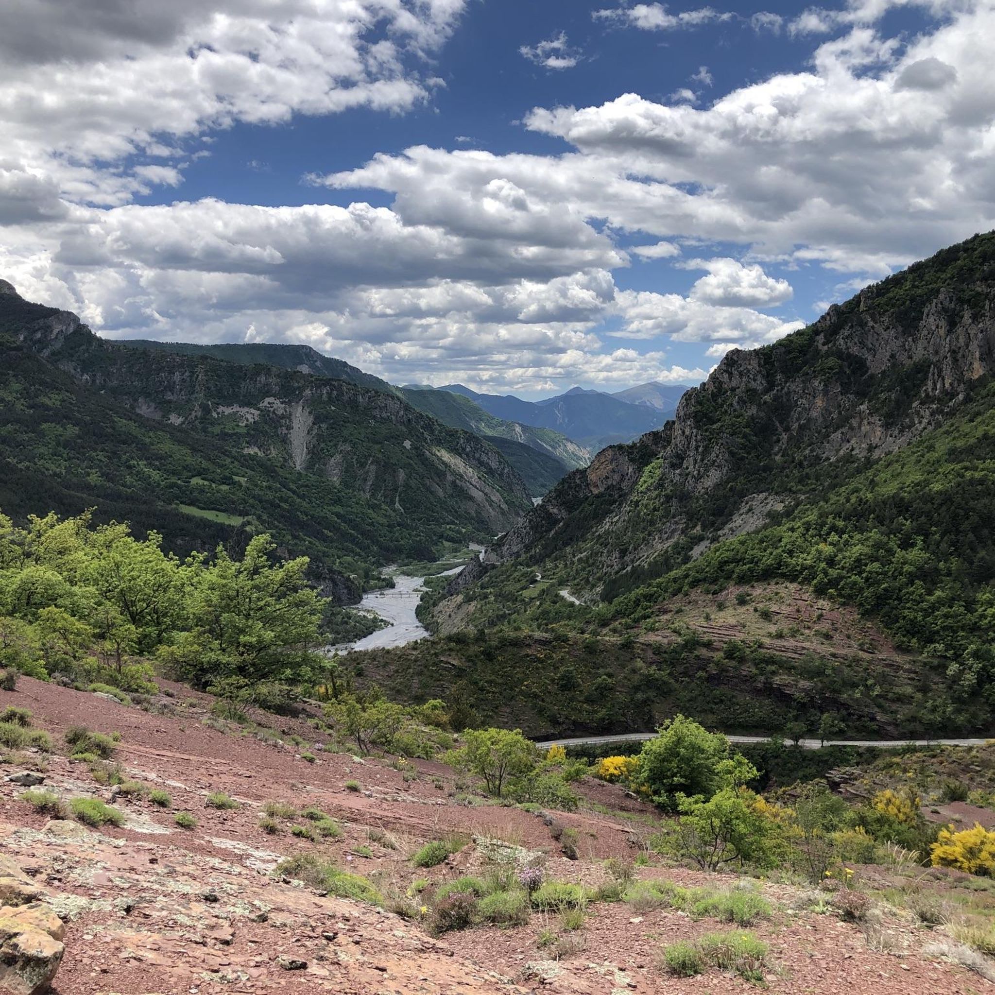
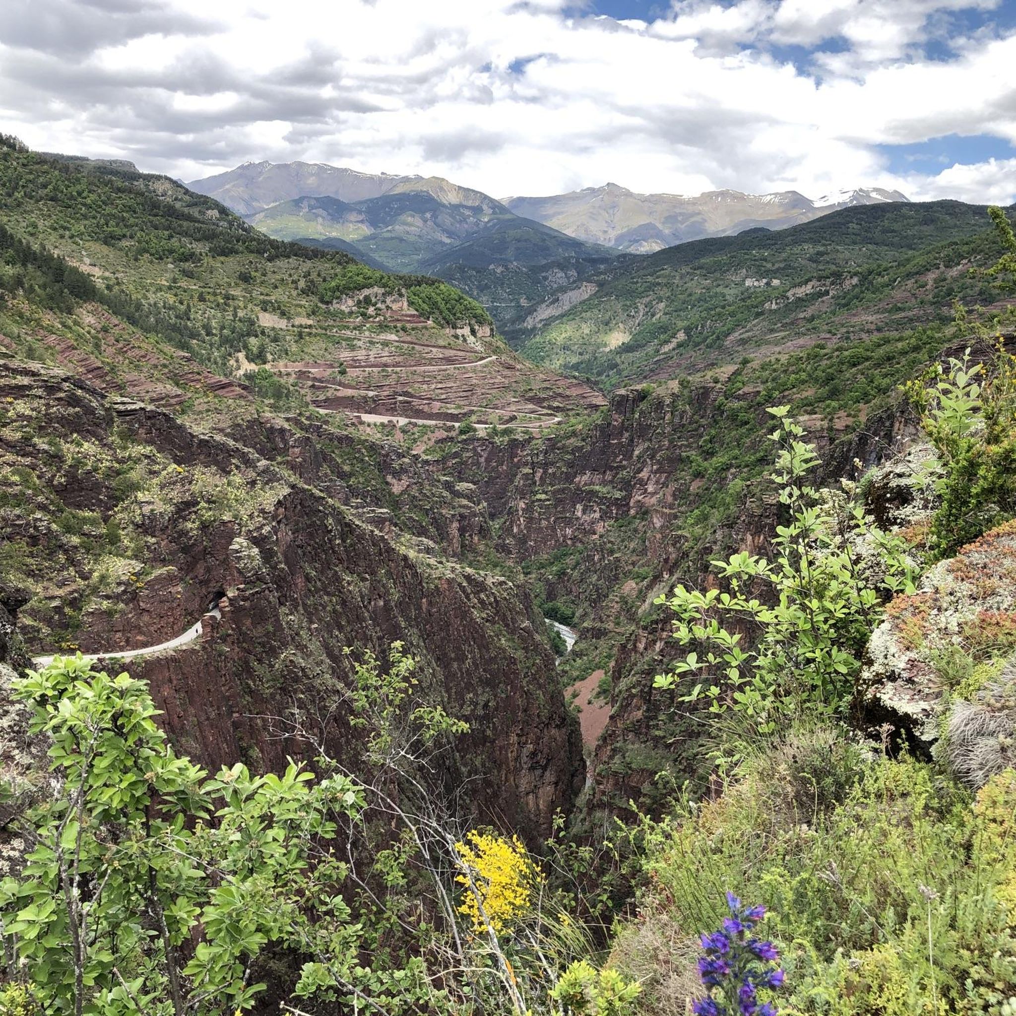


Tips from the Community

Quiet road the D29. Nice climb.
0
0
Please note, I visited on October 12, 2025 and the fountain wasn't working! Perhaps it only works in the summer?
0
0

The Col de Sainte-Anne is a pass at an altitude of 425 meters in the French department of Bouches-du-Rhône.
0
1
The Col de la Couillole is a mountain pass in the Massif du Mercantour-Argentera of the French Alps, situated at an altitude of 1,678 m (5,505 ft) in the Alpes-Maritimes department, France. The road connection is open for six to seven months of the year, allowing travel between the Cians gorges in the west and the Tinée valley in the east.
0
0
The Col de la Couillole is a mountain pass in the Massif du Mercantour-Argentera of the French Alps, situated at an altitude of 1,678 m (5,505 ft) in the Alpes-Maritimes department, France. The road connection is open for six to seven months of the year, allowing travel between the Cians gorges in the west and the Tinée valley in the east.
0
0


A manageable town with a small market square surrounded by bakeries, grocery stores and restaurants.
0
0

Very welcome drinking water fountain after the strenuous Col de Valberg
0
0
Frequently Asked Questions
What is the general difficulty level of gravel biking trails around Guillaumes?
Gravel biking in the Guillaumes region is characterized by challenging mountain passes, deep gorges, and high-altitude trails. The routes primarily cater to advanced gravel cyclists, featuring substantial climbs and descents typical of the French Alps. All 8 available routes are rated as difficult.
Are there any family-friendly gravel bike routes in Guillaumes?
The gravel biking routes around Guillaumes are generally considered difficult, involving significant elevation changes and challenging terrain. There are no routes specifically categorized as easy or moderate, making them less suitable for families with young children or beginner cyclists.
What kind of views can I expect on gravel bike routes near Guillaumes?
The routes offer panoramic views of the surrounding natural landscape, including deep gorges and high-altitude vistas. For example, the Col de la Couillole – Col de Sainte-Anne loop from Valberg is known for its extensive mountain views. You can also experience the dramatic Gorges du Cians or the unique Red Slate Plateau.
How long do gravel bike routes typically take to complete in Guillaumes?
The duration of gravel bike routes in Guillaumes varies depending on the distance and elevation. For instance, the Col du Raton – Raton loop from Valberg, which is 25.3 km long, typically takes about 2 hours and 21 minutes. Longer routes, such as the 104.6 km View of the Gorges du Var – Col de la Couillole loop from Valberg, can take over 10 hours.
Are there any circular gravel bike routes available in the Guillaumes area?
Yes, many of the gravel bike routes around Guillaumes are designed as loops. Examples include the Col du Raton – Raton loop from Valberg, the Col de la Couillole – Col de Sainte-Anne loop from Valberg, and The Demandols cow sheds – Estive Lake loop from Auron.
What are some notable natural attractions or landmarks along the gravel bike trails?
Beyond the stunning mountain passes like Col de la Couillole and Col du Raton, you can explore the dramatic Gorges du Cians, the serene Lacs de Lignin, or the unique Péone Rock Formations.
What do other gravel bikers say about the routes in Guillaumes?
The gravel biking routes in Guillaumes are highly rated by the komoot community, with an average score of 5.0 stars from 6 reviews. Over 60 gravel bikers have used komoot to explore the varied and challenging terrain, often praising the significant climbs and panoramic views.
Are there any high-altitude trails or alpine pastures to explore?
Yes, the region features routes that lead through alpine pastures and high-altitude landscapes. The The Demandols cow sheds – Estive Lake loop from Auron is a prime example, taking you through these scenic environments.
What is the best time of year for gravel biking in Guillaumes?
Given the mountainous terrain and high-altitude passes, the best time for gravel biking in Guillaumes is typically from late spring through early autumn (roughly May to October) when the passes are clear of snow and weather conditions are more stable. Winter riding would be very challenging due to snow and ice.
Are there opportunities for wild swimming near the gravel trails?
While specific wild swimming spots directly adjacent to the trails are not detailed, the region features natural water bodies like the Lacs de Lignin, which could offer opportunities for a refreshing dip after a ride, depending on local regulations and conditions.
How many gravel bike routes are available in the Guillaumes area?
There are 8 gravel bike routes available around Guillaumes, all of which are categorized as difficult due to the significant elevation changes and mountainous terrain.
Most popular attractions around Guillaumes

Get inspired with the komoot mobile app


Explore more
Browse the best Gravel rides in other regions.
