The best gravel rides around Egremont
4.6
(5)
81
riders
3
rides
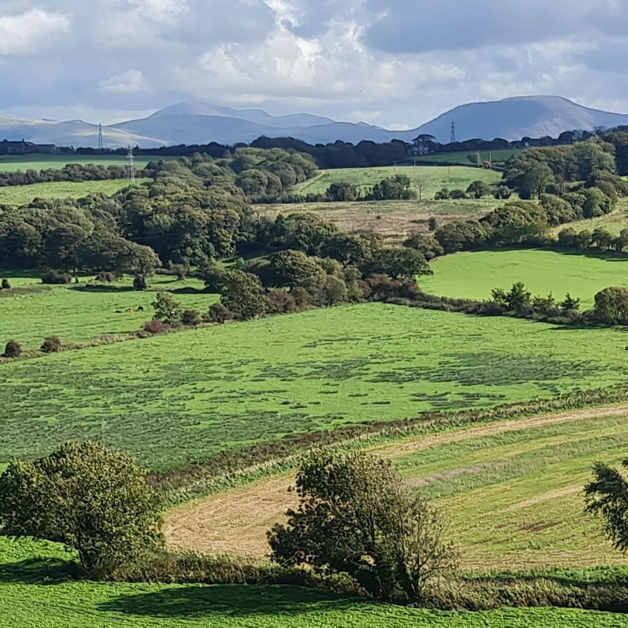
Gravel bike trails around Egremont navigate a landscape characterized by rolling hills and valleys, often featuring a mix of unpaved roads and forest tracks. The region's terrain includes varied elevations, providing both challenging climbs and rewarding descents. Riders can expect to encounter scenic views of natural features, including lakes and rivers, alongside open countryside. The network of trails offers diverse experiences for gravel biking.
Best gravel bike trails around Egremont
- The most popular gravel bike trail is View of Ennerdale…
Last updated: July 16, 2026
4.7
(3)
39
riders
28.1km
01:56
320m
320m
Hard gravel ride. Good fitness required. You may need to push your bike for some segments of this route.
4.5
(2)
31
riders
Hard gravel ride. Very good fitness required. You may need to push your bike for some segments of this route.

Sign up for free
9
riders
47.6km
03:06
500m
500m
Hard gravel ride. Very good fitness required. You may need to push your bike for some segments of this route.
2
riders
28.4km
02:01
400m
400m
Moderate gravel ride. Good fitness required. Mostly paved surfaces. Suitable for all skill levels.
Our route recommendations are based on thousands of hikes, rides, and runs completed by other people on komoot.
Start today with a free account
Your next adventure awaits.
Login or Signup
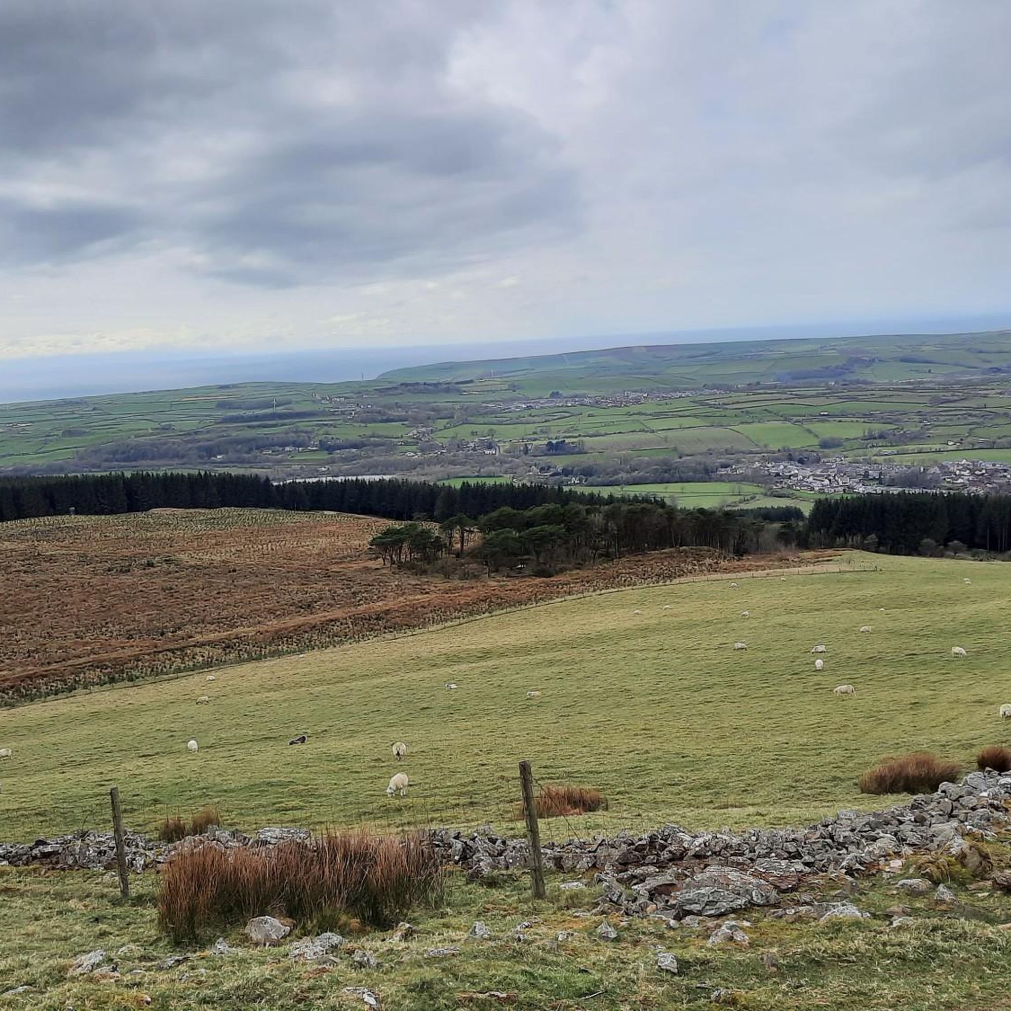
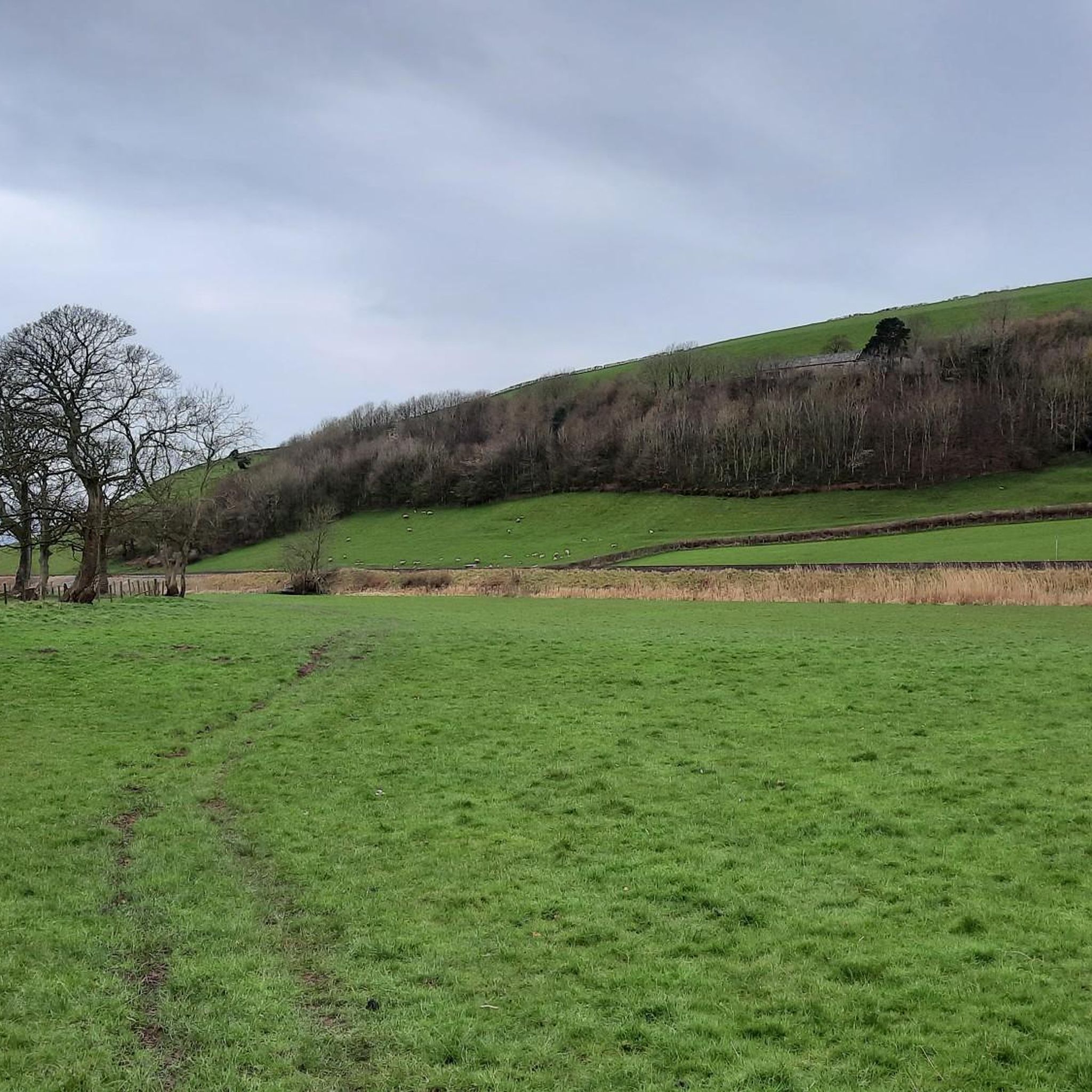
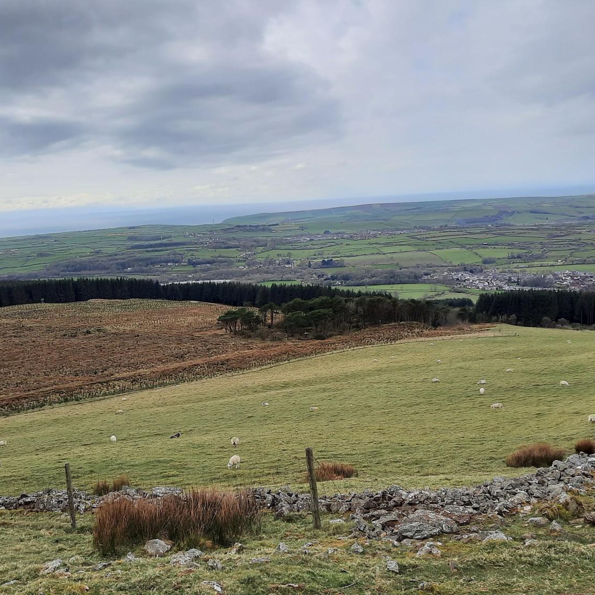
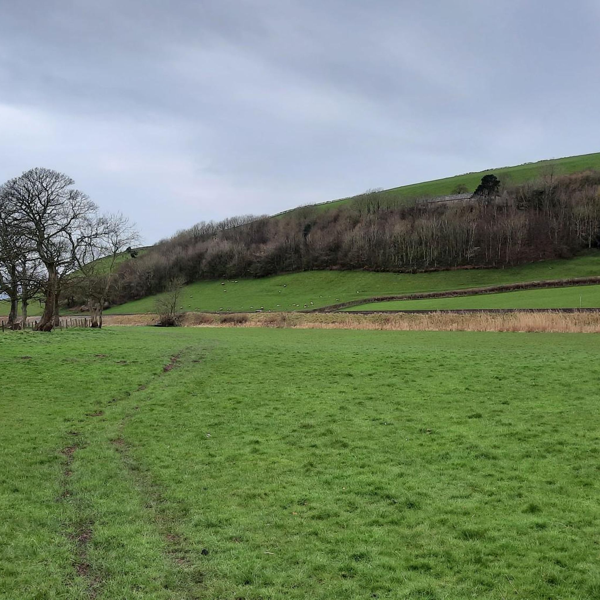
Tips from the Community

This part after the bridge along the railroad is not for biking, and the gate vas impossible to get theoug. We had to lift our bikes over.
0
0

If heading north along the coast towards Sellafield follow the track on the seaward side of the railway all the way up to the Calder, then it's a loop under the railway and over the River
0
0


This fun gravel track runs alongside the River Liza through a scenic steep-sided valley.
0
0

Remains of the Roman Bath House. There was a fort on the other side of the road extending to the cliffs along the sea shore.
0
0

Stubshead Hill 68.3m P19.5 (224ft) (Hill ID: 511001) [JNSA s17538] Lake District NP Definitive List summit
0
0
TP6446 Thornbank S5764 Lake District National Park Trig Pillar
0
0
Frequently Asked Questions
What kind of terrain can I expect on gravel bike trails around Egremont?
Egremont's gravel bike trails feature a diverse landscape of rolling hills and valleys. You'll encounter a mix of unpaved roads and forest tracks, with varied elevations that provide both challenging climbs and rewarding descents. The region is known for its picturesque New England character, offering a constantly changing backdrop of pastoral countryside and woodlands.
Are there any easy or beginner-friendly gravel bike routes in Egremont?
While many routes in Egremont are rated moderate to difficult, you can find options that are more accessible. For instance, the Seascale Beach – Seascale Beachfront loop from Calder Bridge is a moderate 28.4 km trail that offers a coastal experience, often completed in about 2 hours 30 minutes. Another moderate option is the Wast Water – Wast Water loop from Gosforth, which is 21.3 km long and takes around 1 hour 41 minutes.
What are some of the longer gravel bike routes available near Egremont?
For longer rides, consider the View of Pillar – River Liza Gravel Track loop from Cleator Moor, a challenging 47.1 km route that follows a gravel track along the River Liza. Another extensive option is the Seascale Beach – Hardknott Pass Climb loop from Seascale, which covers 47.3 km and includes a significant climb.
What scenic views or landmarks can I expect to see along the gravel trails?
The trails around Egremont offer stunning natural beauty. You can enjoy views of Ennerdale Water, particularly on the View of Ennerdale Water – Ennerdale Water Lakeside Path loop from Grike. Many routes also feature views towards prominent peaks like Pillar. Additionally, you might encounter highlights such as Ennerdale Water itself, or various summits like Crag Fell Summit and Lank Rigg Summit, which offer panoramic vistas of the surrounding Berkshires.
Are there any circular gravel bike routes in the Egremont area?
Yes, many of the gravel bike routes around Egremont are designed as loops, allowing you to start and finish at the same point. Examples include the View of Ennerdale Water – Ennerdale Water Lakeside Path loop from Grike, the View of Pillar – River Liza Gravel Track loop from Cleator Moor, and the Seascale Beach – Seascale Beachfront loop from Calder Bridge.
What do other gravel bikers say about the routes in Egremont?
The gravel biking routes in Egremont are highly regarded by the komoot community, with an average rating of 4.6 stars from over 5 reviews. Riders often praise the diverse terrain, the scenic views of lakes and rivers, and the varied experiences offered by the network of trails.
What are the best times of year for gravel biking in Egremont?
The New England region, including Egremont, offers beautiful riding conditions across multiple seasons. Spring and fall provide pleasant temperatures and vibrant foliage, while summer allows for longer days. Winter riding is also possible, though conditions can be more challenging due to snow and ice, especially on higher elevation or less maintained tracks.
Are there any family-friendly gravel biking options in Egremont?
While many routes are rated moderate to difficult, French Park in North Egremont offers a 2.5-mile trail network that can be explored by bikers and hikers, providing a potentially gentler option for families. For longer rides, consider the moderate Wast Water – Wast Water loop from Gosforth, which is shorter and less demanding than some of the difficult routes.
Where can I find information about parking for gravel bike trails in Egremont?
Specific parking information for individual trailheads is often detailed on the komoot tour pages. Generally, areas like French Park offer dedicated parking. For broader regional access, many trail networks in the Berkshires have designated parking areas. Always check the tour details on komoot for the most accurate starting point and parking suggestions.
Are there any public transport options to access gravel trails in Egremont?
Public transport options directly to specific gravel trailheads in a rural area like Egremont can be limited. It's often more practical to drive to a starting point. However, for general information about the town's services, you might find resources on the official Egremont municipal website at egremont-ma.gov.
Are there any places to explore or attractions near the gravel biking routes?
Yes, the Egremont area is rich with natural attractions. You can find several mountain peaks and viewpoints, such as Grike Summit Cairn and Whoap Summit, offering great views. The scenic Ennerdale Water is also a significant highlight. Additionally, the region is home to French Park, a 144-acre recreation area, and is close to the Appalachian Trail, indicating a wealth of natural areas to discover.
Most popular routes around Egremont
Most popular attractions around Egremont

Get inspired with the komoot mobile app


Explore more
Browse the best Gravel rides in other regions.
