The best mountain hikes around Unterreichenbach
5.0
(3)
10
hikers
4
hikes
Mountaineering routes around Unterreichenbach traverse a landscape characterized by dense Black Forest woodlands, rolling hills, and picturesque river valleys. The region features moderate elevation changes, offering a mix of challenging ascents and gentler paths along waterways. This area provides diverse terrain for mountaineers, from shaded forest trails to open valley views.
Best mountaineering routes around Unterreichenbach
- The most popular mountaineering route is Mountaineering loop from Bad Liebenzell, a 6.1 miles (9.8 km) trail that takes 2 hours 51 minutes…
Last updated: July 2, 2026
5.0
(1)
4
hikers
9.71km
02:50
260m
260m
Moderate mountaineering route. Good fitness required. Easily-accessible paths. Suitable for all skill levels.
5.0
(1)
4
hikers
11.0km
03:06
240m
240m
Moderate mountaineering route. Good fitness required. Easily-accessible paths. Suitable for all skill levels.

Sign up for free
5.0
(1)
1
hikers
7.73km
02:12
170m
170m
Moderate mountaineering route. Good fitness required. Easily-accessible paths. Suitable for all skill levels.
1
hikers
Hard mountaineering route. Very good fitness required. Mostly accessible paths. Sure-footedness required.
Our route recommendations are based on thousands of hikes, rides, and runs completed by other people on komoot.
Start today with a free account
Your next adventure awaits.
Login or Signup
Popular around Unterreichenbach
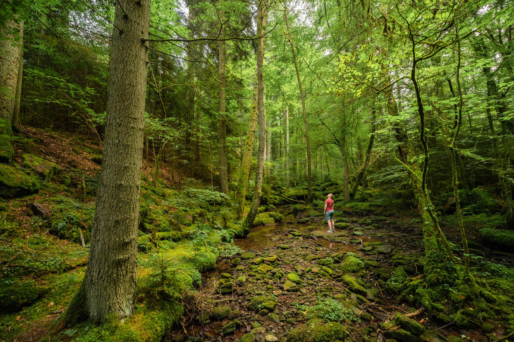
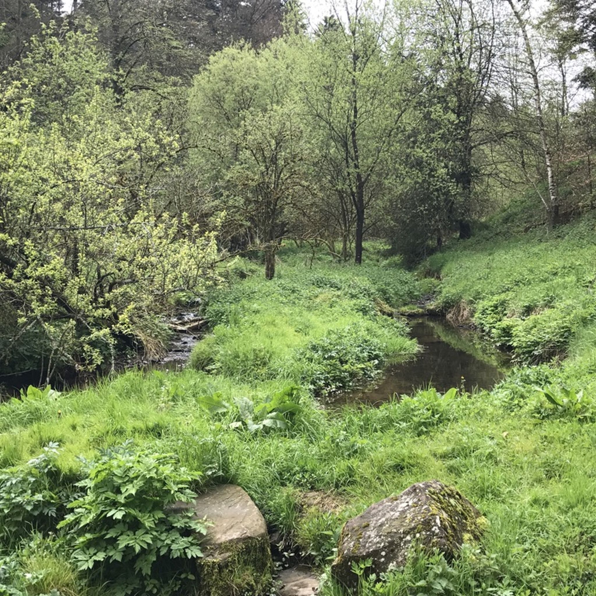
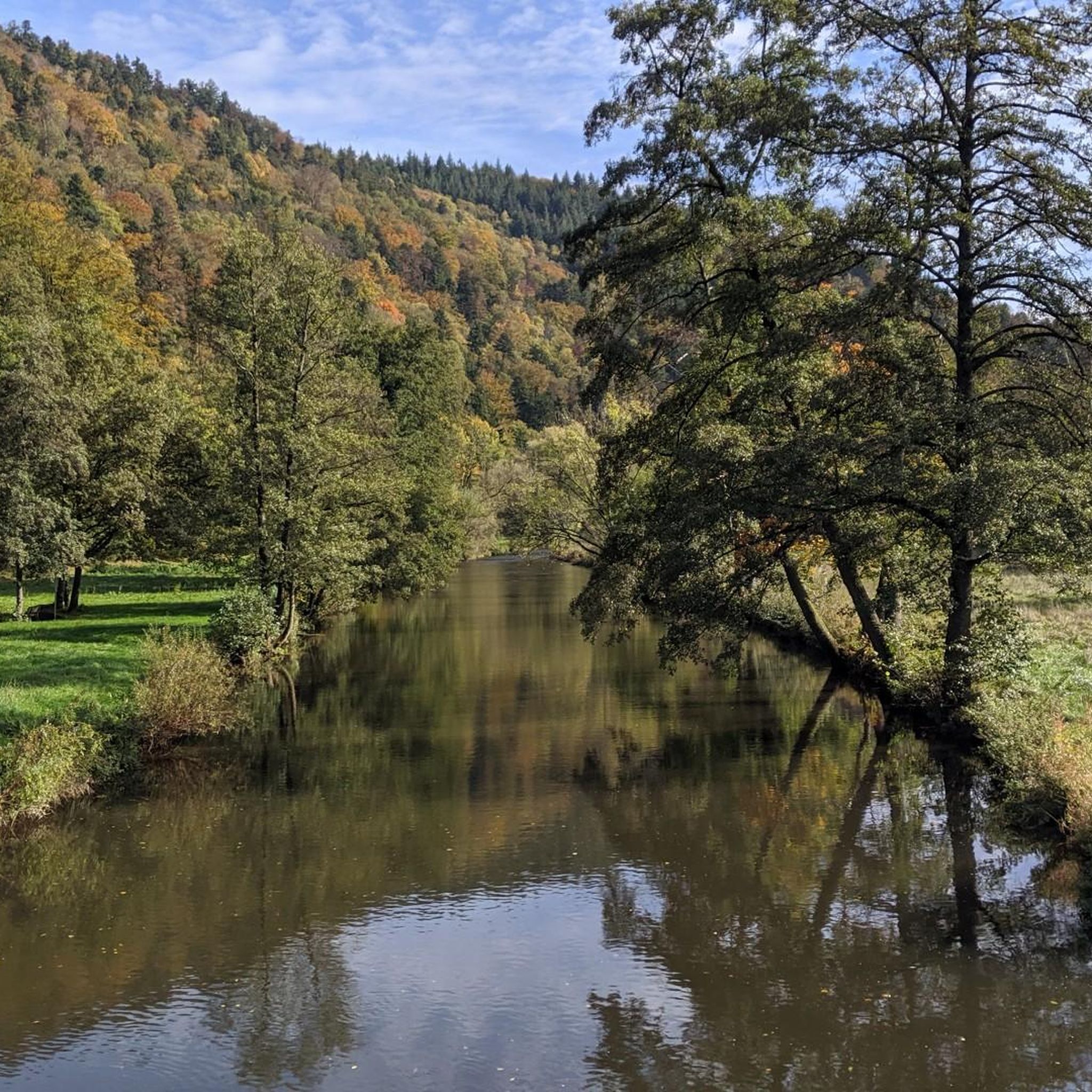

Other adventures around Unterreichenbach

Tips from the Community


In 1477, a chapel to the Holy Cross is mentioned; it stood where the monument to the victims of the World Wars stands today. In 1802/03, it was replaced by a proper, albeit unpretentious, church at the current location, which was extended by the choir in 1908, when Monakam became an independent municipality together with Unterhaugstett.
2
0

Hut with good weather protection
0
0

The Enz Valley Cycle Path between Pfhm and Neuenbürg is always an experience with diverse impressions in every season.
0
0

Be careful, it can be slippery, good footwear is not a bad idea.
0
0
Simply a fantastic hike, very idyllic, one could say.
0
0
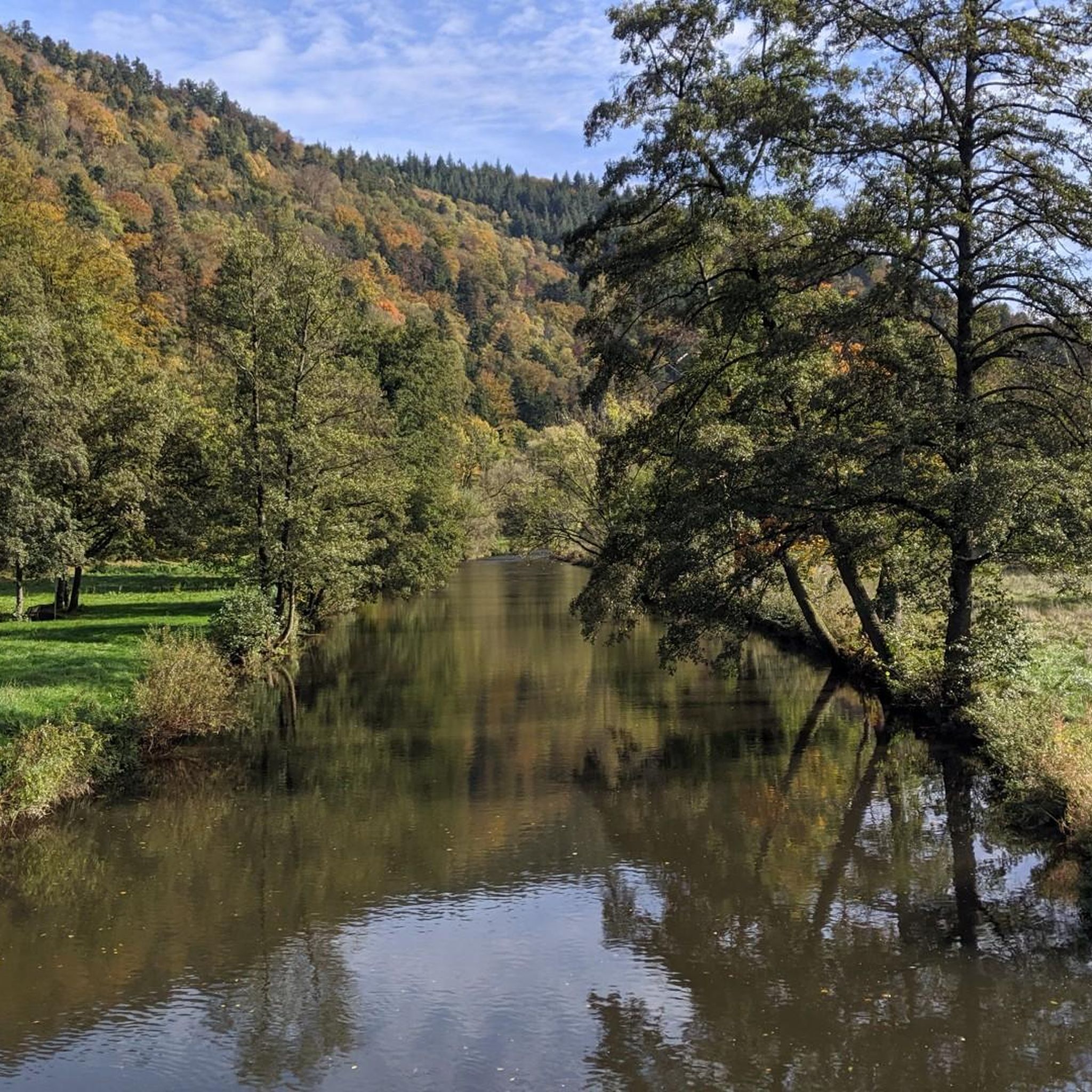
View from a car and pedestrian bridge directly onto the Nagold River. In summer, the view is enhanced by floral decorations on the bridge.
3
0
Frequently Asked Questions
How many mountaineering routes are available around Unterreichenbach?
There are several mountaineering routes around Unterreichenbach, with a total of 4 tours listed in this guide. These routes offer a variety of experiences through the Black Forest landscape.
Are there any easy or beginner-friendly mountaineering routes in Unterreichenbach?
Yes, for those seeking a more relaxed experience or just starting out, there are 3 moderate routes. A good option is the Lower Kapfenhardter Mill – Eulenbach Trail loop from Kapfenhardt, which is 7.7 km long and takes about 2 hours 12 minutes to complete.
What kind of challenging mountaineering routes can I find in the region?
For experienced mountaineers looking for a challenge, the Forest path along the River Enz – Enz Riverside Trail loop from Neuenbürg (Württ.) Freibad is a demanding option. This route spans 17.7 km with significant elevation changes, typically requiring around 5 hours 21 minutes to complete.
Are the mountaineering routes around Unterreichenbach circular?
Yes, all the mountaineering routes featured in this guide are circular loops, allowing you to start and end your journey at the same point without needing to arrange transport back to your starting location.
What is the best time of year for mountaineering in Unterreichenbach?
The best time for mountaineering in Unterreichenbach is generally from spring to autumn (April to October). During these months, the weather is usually mild, and the trails are clear. Autumn offers particularly beautiful foliage in the Black Forest.
What are the winter conditions like for mountaineering in Unterreichenbach?
Winter mountaineering in Unterreichenbach can be challenging due to snow and ice, especially at higher elevations or in shaded forest areas. Trails may be slippery, and specialized equipment like microspikes or snowshoes might be necessary. Always check local weather and trail conditions before heading out.
Are there any family-friendly mountaineering options in the area?
While all routes require a certain level of fitness, the moderate trails are generally suitable for families with older children who are accustomed to hiking. The Mountaineering loop from Bad Liebenzell, at 9.8 km, offers varied forest paths and scenic viewpoints that many families enjoy.
Can I bring my dog on the mountaineering trails?
Most trails in the Black Forest region, including those around Unterreichenbach, are dog-friendly. However, it's always recommended to keep your dog on a leash, especially in nature reserves or areas with wildlife, and to carry water for your pet.
What kind of wildlife might I encounter on the trails?
The dense Black Forest woodlands around Unterreichenbach are home to various wildlife. You might spot deer, foxes, and a wide array of bird species. Keep an eye out for smaller creatures like squirrels and various insects. Respect their habitat by staying on marked trails and keeping a quiet demeanor.
Are there any interesting landmarks or attractions to see along the routes?
Yes, the region offers several points of interest. You can explore viewpoints like the Büchenbronner Höhe Lookout Tower or the Schwanner Warte Observation Tower & Viewpoint. There are also beautiful natural features such as Lake Seehaus and Lake Herrmann, which can be great spots for a break.
Where can I find parking for the mountaineering routes?
Many trailheads in the Black Forest region, including those near Unterreichenbach, typically offer designated parking areas. It's advisable to check specific route descriptions on komoot for detailed parking information for your chosen starting point.
What do other mountaineers enjoy most about the routes in Unterreichenbach?
The routes in Unterreichenbach are highly rated by the komoot community, with an average score of 5.0 stars. Reviewers often praise the tranquil woodlands, well-maintained paths, and the refreshing experience of walking along small streams, particularly on routes like the Kneipp Becken loop from Monbach-Neuhausen.
Are there places to eat or drink near the trails after a hike?
Yes, the villages and towns surrounding Unterreichenbach, typical of the Black Forest, often have traditional Gasthäuser (inns) or restaurants where you can enjoy local cuisine and refreshments after your mountaineering tour. Bad Liebenzell and Neuenbürg, for example, offer several options.
Most popular routes around Unterreichenbach
Most popular attractions around Unterreichenbach

Get inspired with the komoot mobile app


Explore more
Browse the best Mountain Hikes & Routes in other regions.
