The best walks and hikes around Unterreichenbach
4.5
(19423)
70,870
hikers
55
hikes
Hiking around Unterreichenbach offers diverse landscapes in the Northern Black Forest region of Germany. The area is characterized by the Nagold River Valley, dense forests, and rolling hills. Elevations range from approximately 292 to 633 meters, contributing to varied terrain with green meadows and forested mountain slopes. This region provides a range of outdoor activities for different fitness levels.
Best hiking trails around Unterreichenbach
- The most popular hiking route is Through beech forests to the Hohe Warte, a moderate…
Last updated: October 1, 2026
4.5
(57)
229
hikers
13.9km
03:56
310m
310m
Moderate hike. Good fitness required. Easily-accessible paths. Suitable for all skill levels.
4.5
(104)
372
hikers
Moderate hike. Good fitness required. Easily-accessible paths. Suitable for all skill levels.

4.5
(36)
132
hikers
18.6km
05:10
310m
310m
Hard hike. Very good fitness required. Mostly accessible paths. Sure-footedness required.
4.6
(23)
100
hikers
7.31km
02:07
190m
190m
Moderate hike. Good fitness required. Easily-accessible paths. Suitable for all skill levels.
4.7
(68)
257
hikers
6.05km
01:43
130m
130m
Easy hike. Great for any fitness level. Easily-accessible paths. Suitable for all skill levels.
Get access to more routes and recommendations from other explorers.
Already have an account?
Our route recommendations are based on thousands of hikes, rides, and runs completed by other people on komoot.
Start today with a free account
Your next adventure awaits.
Popular around Unterreichenbach
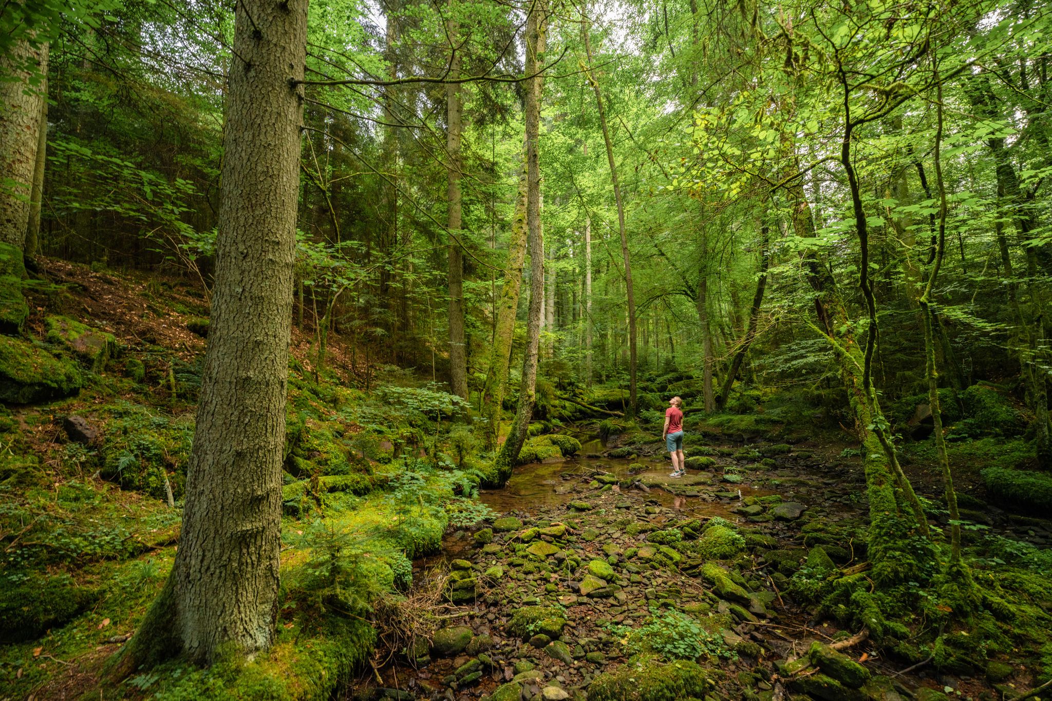
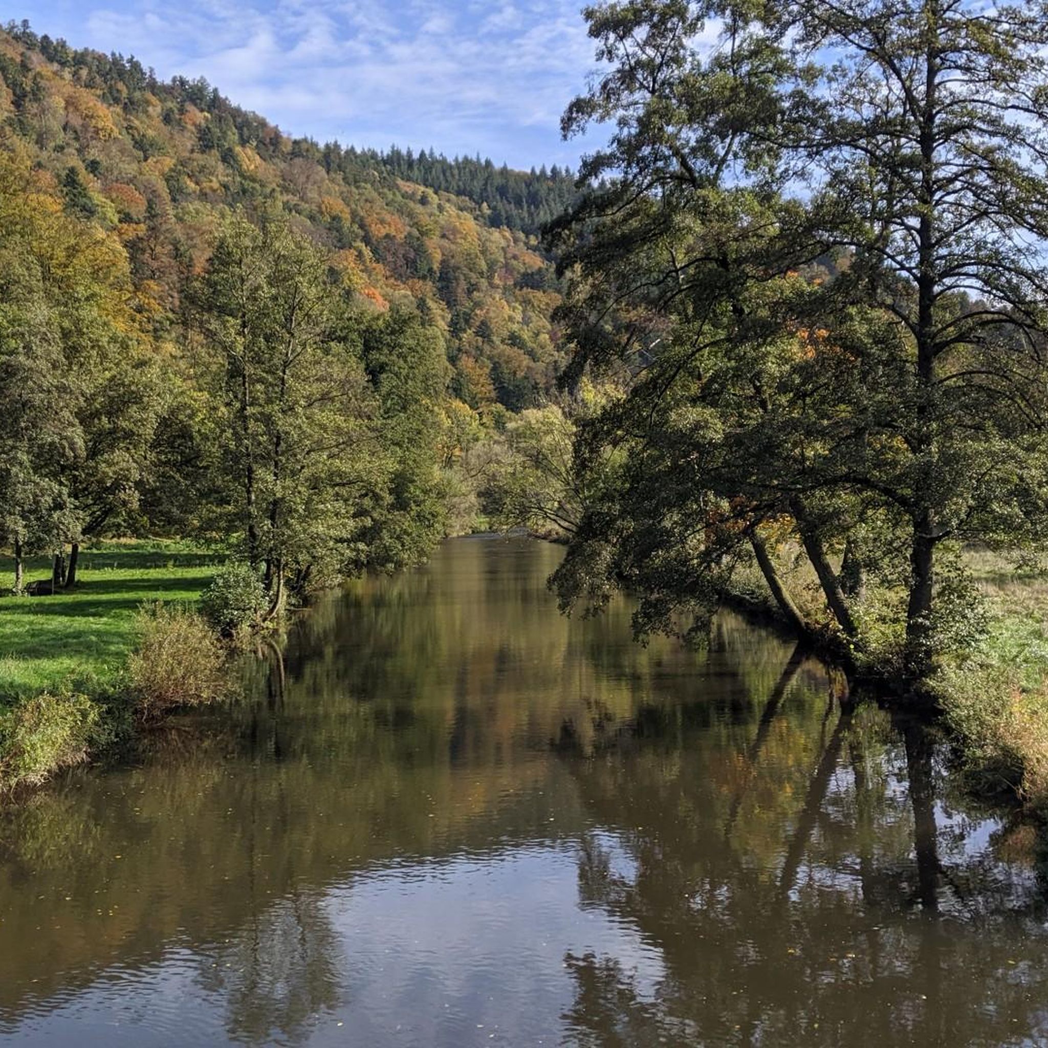
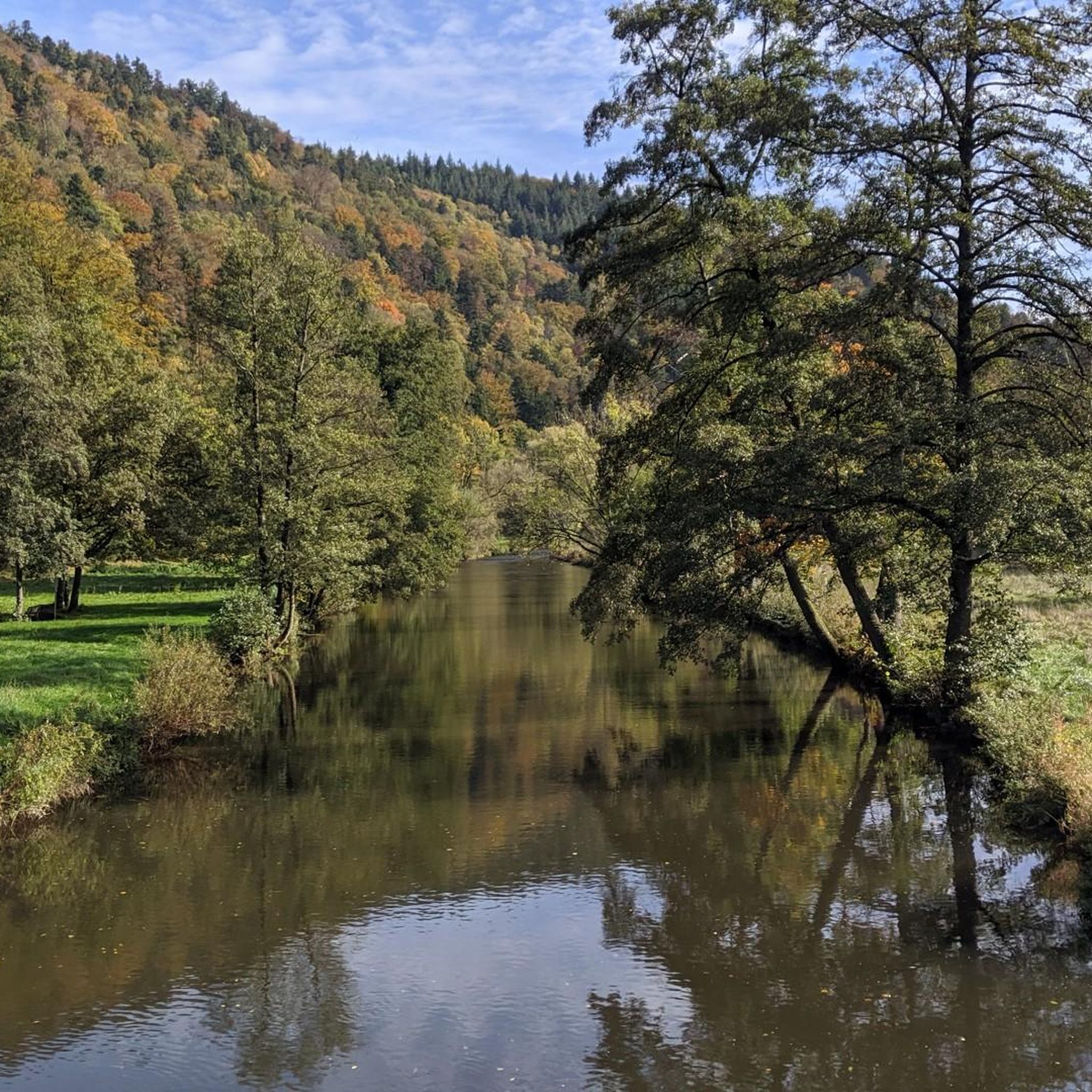

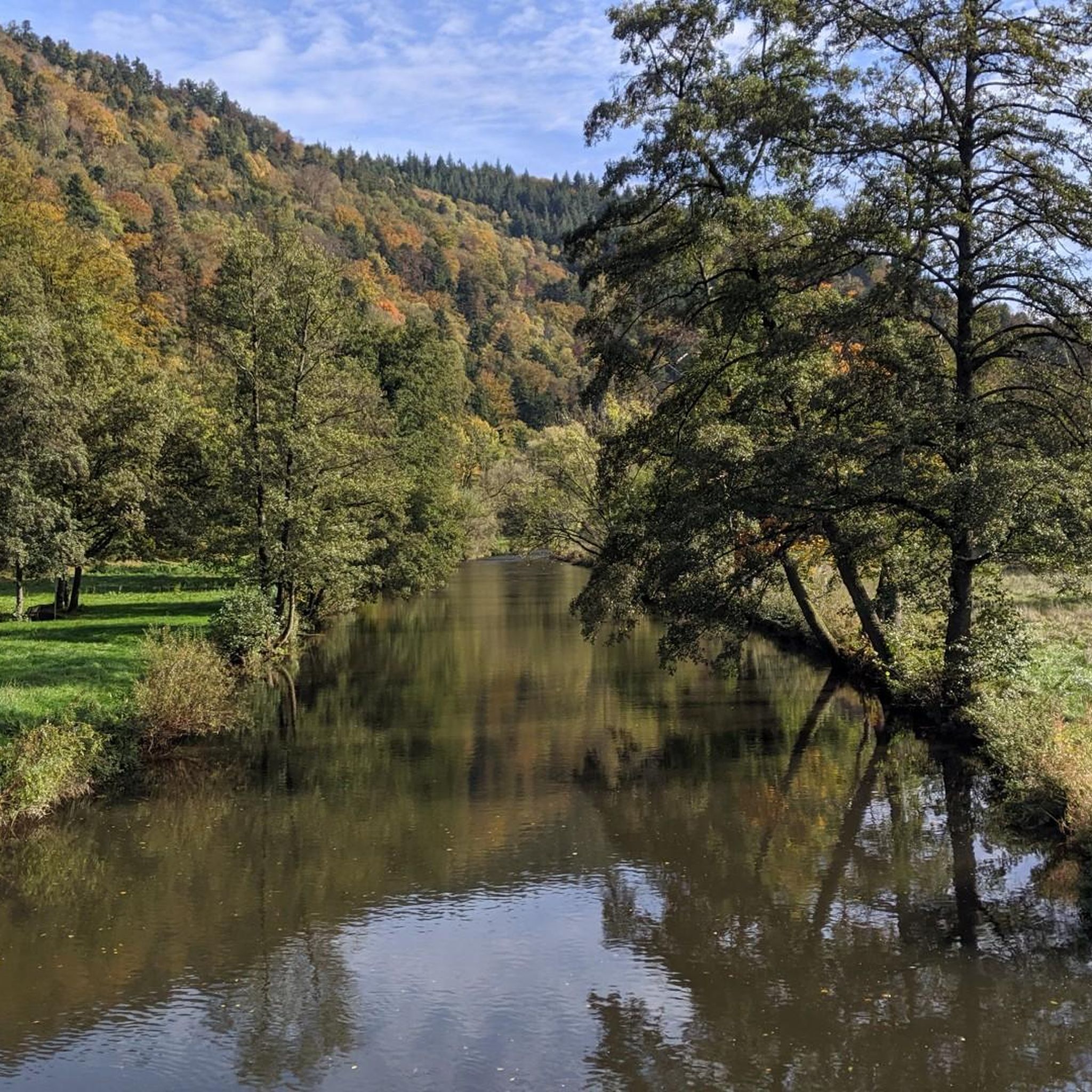
Other adventures around Unterreichenbach

Tips from the Community

Always nice to cross the stream
2
0

The historic "ford" in the Monbachtal is a shallow, original stream crossing, which contributed to the wildness of the gorge, impassable until its development, being contained.
6
0

Added to the collection: komoot.com/de-de/collection/3600632/-naturdenkmaeler-besondere-baeume-und-weitere-schaetze-der-natur
0
0

Be careful, it can be slippery, good footwear is not a bad idea.
0
0
Simply a fantastic hike, very idyllic, one could say.
0
0
Beautiful hike along the Monbach, not without danger ☝🏼 Sure-footedness and sturdy shoes are important.
3
0

Frequently Asked Questions
How many hiking trails are available in Unterreichenbach?
Unterreichenbach offers a wide variety of hiking experiences, with over 50 trails to explore. These range from easy strolls to more challenging routes, catering to different fitness levels.
What kind of terrain can I expect on hikes around Unterreichenbach?
The region is characterized by the picturesque Nagold River Valley, surrounded by dense forests and rolling hills. You'll encounter varied terrain with elevations ranging from approximately 292 to 633 meters, offering scenic views of green meadows and forested mountain slopes.
Are there any challenging hikes in the area?
Yes, for those seeking a more demanding experience, there are 4 difficult routes available. One notable option is the Monbachtal Gorge – Monbachtal Waterfall loop from Unterreichenbach, which is known for its wild-romantic character and water crossings.
Are there easy hiking options suitable for beginners or leisurely strolls?
Absolutely. Unterreichenbach provides 23 easy trails, many of which are flat and well-signposted, making them ideal for beginners, families, or those looking for a relaxed walk. The Eulenbach Valley and Kapfenhardter Valley offer idyllic natural routes for such experiences.
What are some natural highlights or landmarks to look out for on the trails?
Hikers can discover several natural highlights. The Monbachtal Gorge is a unique and wild-romantic feature with water crossings. You can also ascend to the nearly 50-meter-high Hohe Warte observation tower for expansive panoramic views across the Black Forest, or explore the scenic Nagold River Valley.
Are there any circular hiking routes in Unterreichenbach?
Yes, many of the trails in Unterreichenbach are designed as circular routes. For instance, the Monbachtal Forest and Stream – Monbach Stepping Stones loop from Unterreichenbach and the Eulenbach Trail – Schwarzenberg Stone Circle loop from Kapfenhardt are popular circular options.
Is Unterreichenbach a good destination for family-friendly hikes?
Unterreichenbach is well-suited for families. The region offers flat and well-signposted trails, with nearby attractions like the Pforzheim Wildlife Park and the barefoot path in Bad Liebenzell (or Bieselsberg) providing additional activities for children.
What do other hikers enjoy the most about hiking in Unterreichenbach?
The area is highly rated by the komoot community, with an average score of 4.6 stars from over 1900 reviews. Hikers often praise the diverse landscapes, the tranquility of the forests, and the well-maintained, clearly marked trails that cater to various preferences.
When is the best time of year to go hiking in Unterreichenbach?
Spring and autumn are particularly ideal for hiking in Unterreichenbach. In spring, the area comes alive with colorful flower meadows, while autumn transforms the landscape with bright yellow deciduous trees, offering stunning scenery. The tranquility of the forests also allows for wildlife sightings year-round.
Are there any specific attractions or points of interest near the hiking trails?
Beyond the trails, you can find several points of interest. The Monbachtal Gorge is a significant natural attraction. For those interested in other outdoor activities, there are also bike parks nearby, such as the Flow trail in Naturpark Schwarzwald Mitte/Nord.
Is it possible to reach hiking trailheads using public transport?
The region is generally accessible, and while specific public transport details for every trailhead vary, Unterreichenbach is part of a well-connected area in the Northern Black Forest. It's advisable to check local bus and train schedules for specific starting points.
Are there any specific routes that lead to panoramic viewpoints?
Yes, the Through beech forests to the Hohe Warte route specifically leads to the Hohe Warte observation tower, which provides expansive panoramic views across the Black Forest. The 900-meter-high Kaltenbronn mountain also offers fantastic vistas.
Most popular routes around Unterreichenbach
Most popular attractions around Unterreichenbach

Get inspired with the komoot mobile app


Explore more
Browse the best Hikes in other regions.
