Easy hikes and walks around Unterreichenbach
4.5
(19423)
70,868
hikers
55
hikes
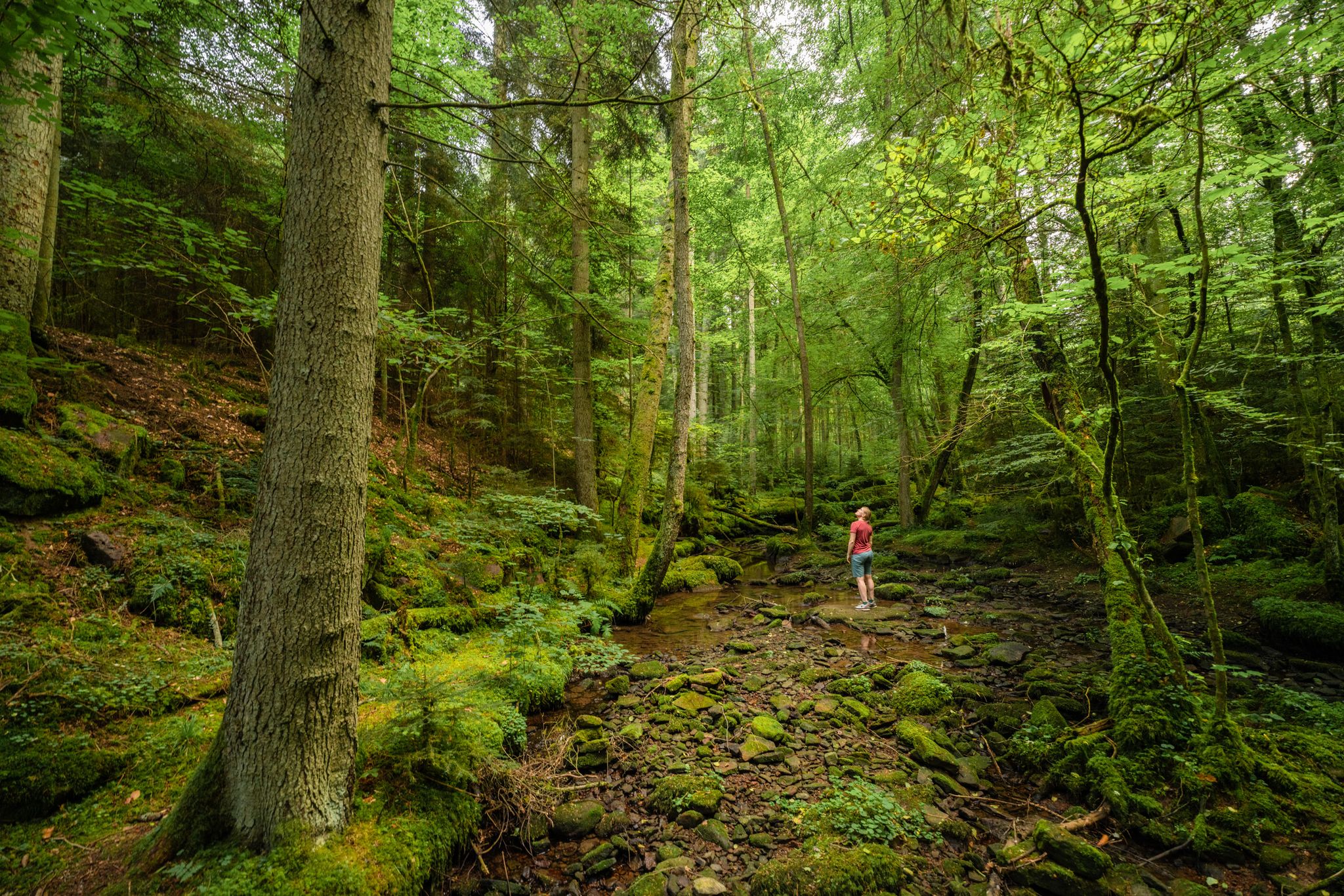
Easy hiking trails around Unterreichenbach are found in the Northern Black Forest, characterized by dense forests and rolling hills. The region features the Nagold Valley, where the Nagold River meanders through green meadows and forested slopes. Hikers can explore routes through the Monbach Gorge, known for its natural beauty, and the Eulenbach and Kapfenhardter Valleys, which offer idyllic natural paths. The area provides a network of trails suitable for various ability levels, with a focus on easy hiking.
Best easy…
Last updated: October 3, 2026
4.7
(68)
257
hikers
6.05km
01:43
130m
130m
Easy hike. Great for any fitness level. Easily-accessible paths. Suitable for all skill levels.
4.4
(18)
64
hikers
3.63km
01:01
70m
70m
Easy hike. Great for any fitness level. Easily-accessible paths. Suitable for all skill levels.

4.4
(9)
29
hikers
5.08km
01:23
70m
70m
Easy hike. Great for any fitness level. Easily-accessible paths. Suitable for all skill levels.
4.5
(14)
31
hikers
Easy hike. Great for any fitness level. Easily-accessible paths. Suitable for all skill levels.
4.7
(9)
43
hikers
Easy hike. Great for any fitness level. Easily-accessible paths. Suitable for all skill levels.
Get access to more routes and recommendations from other explorers.
Already have an account?
Our route recommendations are based on thousands of hikes, rides, and runs completed by other people on komoot.
Start today with a free account
Your next adventure awaits.
Popular around Unterreichenbach
Other adventures around Unterreichenbach

Tips from the Community

Can be hiked wonderfully.👍
0
0

It is unimaginable today how little people were satisfied with in the past.
0
0
Beautiful path along the Nagold - but especially on weekends heavily frequented by saddle jockeys
0
0
The lowest of the three adhesive paths - the path below is much more challenging.
0
0
Beautifully carved sculpture - there is a small spring nearby
0
0
Yes, the path is accessible - but it doesn't look like it is being maintained
0
0
Duplicate of "Liege an der Nagold"
1
0
Located slightly above the Flößerweg
1
0
Frequently Asked Questions
How many easy hiking trails are available around Unterreichenbach?
Unterreichenbach offers a good selection of easy hiking trails, with over 15 routes specifically categorized as easy. In total, the region features more than 40 hiking trails for various abilities.
What are some popular easy circular walks in Unterreichenbach?
For an easy circular walk, consider the Lower Kapfenhardter Mill – Eulenbach Trail loop from Kapfenhardt, which explores the scenic Eulenbach Valley. Another popular option is the Lower Kapfenhardter Mill – Bridge Over the Reichenbach loop from Unterreichenbach, leading through the Kapfenhardter Valley.
Are there any family-friendly easy hikes in Unterreichenbach?
Yes, the region is well-suited for families. The Monbachtal Guesthouses – Monbach Valley Stüble loop from Dennjächt is an easy path through the Monbach Valley, known for its crystal-clear water and adventurous crossings, which children often enjoy. The Klebwald Forest Reserve also offers a 2km path with stations, ideal for families.
What natural attractions can I see on easy hikes around Unterreichenbach?
Many easy hikes will lead you through the picturesque Nagold Valley, with the Nagold River meandering through green meadows. The Monbach Gorge is a significant highlight, offering a wild and romantic natural spectacle with crystal-clear water. You can also explore the idyllic Eulenbach and Kapfenhardter Valleys.
What is the best time of year for easy hiking in Unterreichenbach?
The best seasons for hiking in Unterreichenbach are spring and autumn. During these times, the natural surroundings are particularly vibrant, with colorful flower meadows in spring and bright yellow deciduous trees in autumn. The weather is generally mild and pleasant for easy walks.
Are there any interesting landmarks or historical sites near the easy hiking trails?
Yes, the region offers several points of interest. You can find castles like Liebenzell Castle or Neuenbürg Castle and ruins nearby. The Salamander sculpture – Nagold Valley Trail loop from Unterreichenbach is an easy route that passes by a unique local landmark.
What do other hikers enjoy most about the trails in Unterreichenbach?
The trails in Unterreichenbach are highly rated by the komoot community, with an average score of 4.6 stars from over 1,800 reviews. Hikers often praise the well-marked paths, the diverse forest types, and the tranquil river valleys like the Nagold and Monbach, which offer a peaceful escape into nature.
Are there any easy trails with scenic viewpoints in Unterreichenbach?
While many easy trails focus on river valleys and forests, the broader Northern Black Forest region offers panoramic views. For expansive vistas, the Hohe Warte Observation Tower, though not directly on an easy trail listed here, is a notable point of interest in the area that can be incorporated into longer, more varied hikes.
Are the easy hiking trails in Unterreichenbach dog-friendly?
Generally, the natural trails in the Northern Black Forest, including those around Unterreichenbach, are dog-friendly. It's always recommended to keep dogs on a leash, especially in nature reserves or areas with wildlife, and to respect local regulations. The varied terrain and river access can be enjoyable for pets.
Is there public transport access to easy hiking trails in Unterreichenbach?
Unterreichenbach is part of the Northern Black Forest region, which generally has a good public transport network. Many trailheads are accessible by local buses or trains, especially those located in or near villages. It's advisable to check local transport schedules for specific starting points of your chosen easy hike.
Where can I find parking for easy hikes in Unterreichenbach?
Parking is generally available in and around the villages that serve as starting points for many trails, such as Kapfenhardt or Unterreichenbach itself. Look for designated hiking parking areas or public parking lots near trailheads. Specific parking information is often available on individual route descriptions.
How long do easy hikes in Unterreichenbach typically take?
Easy hikes in Unterreichenbach vary in length and duration. For example, the Lower Kapfenhardter Mill – Eulenbach Trail loop from Kapfenhardt is about 3.8 miles (6.1 km) and takes approximately 1 hour 43 minutes. Shorter options like the Salamander sculpture – Nagold Valley Trail loop from Unterreichenbach are around 2.7 miles (2.7 km) and can be completed in under an hour and a half.
Most popular routes around Unterreichenbach
Most popular attractions around Unterreichenbach

Get inspired with the komoot mobile app


Explore more
Browse the best Hikes in other regions.
