The best mountain hikes around Ponsonnas
4.6
(7)
52
hikers
2
hikes
Mountaineering routes around Ponsonnas are characterized by the rugged terrain of the French Alps, featuring significant elevation changes and diverse landscapes. The region includes prominent peaks and ridges, alongside scenic lakes and river valleys. These routes often traverse varied ground, from forested sections to more exposed mountain paths.
Best mountaineering routes around Ponsonnas
- The most popular mountaineering route is Lac Charlet – L'Oreille du Loup loop from Villard-Saint-Christophe, a 5.7 miles (9.2 km) difficult trail that takes 4 hours…
Last updated: October 9, 2026
14
hikers
9.18km
04:16
790m
790m
Hard mountaineering route. Good fitness required. Sure-footedness, sturdy shoes and alpine experience required.
4.0
(1)
11
hikers
8.99km
04:04
830m
830m
Hard mountaineering route. Good fitness required. Sure-footedness, sturdy shoes and alpine experience required.

5.0
(1)
8
hikers
11.1km
04:35
820m
820m
Hard mountaineering route. Good fitness required. Sure-footedness, sturdy shoes and alpine experience required.
5.0
(2)
8
hikers
15.6km
05:23
760m
760m
Hard mountaineering route. Very good fitness required. Mostly accessible paths. Sure-footedness required.
5.0
(1)
7
hikers
12.5km
04:01
460m
460m
Moderate mountaineering route. Good fitness required. Mostly accessible paths. Sure-footedness required.
Our route recommendations are based on thousands of hikes, rides, and runs completed by other people on komoot.
Start today with a free account
Your next adventure awaits.


Tips from the Community

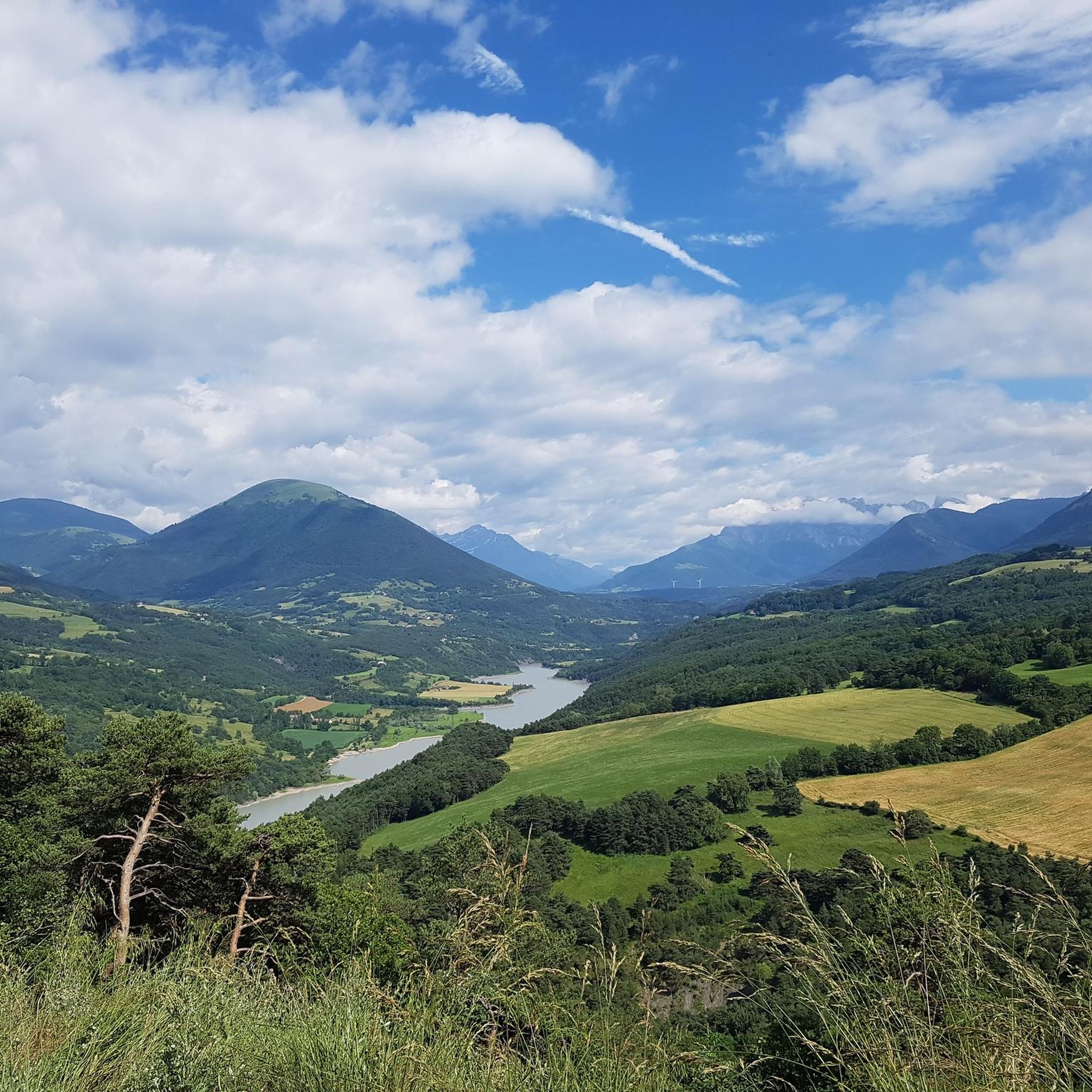
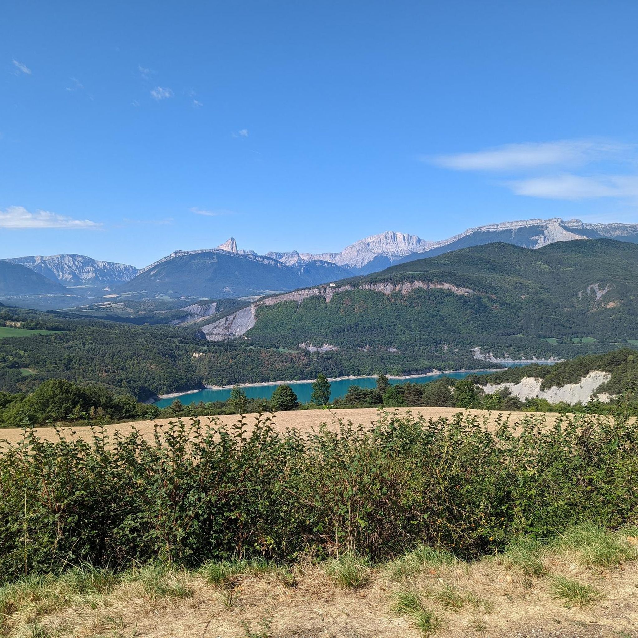
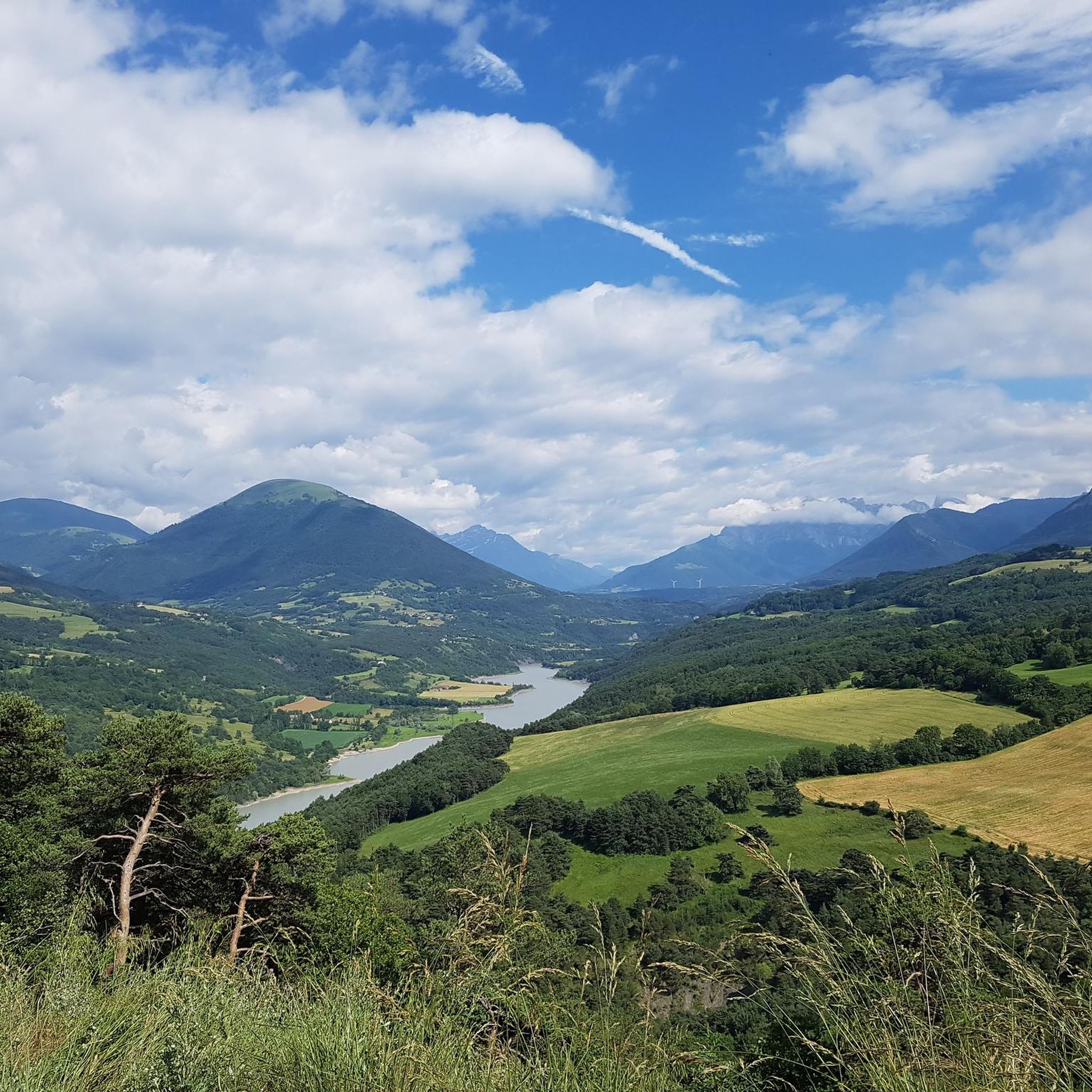
A lake with turquoise waters! The lake of Monteynard Avignonet stretches between Trièves and Matheysine. Located 25 km south of Grenoble, this artificial reservoir with its imposing dam is a paradise for gliding and sailing activities (kitesurfing, windsurfing, wing foiling, dinghies...). Its turquoise waters have made it famous, as well as the Himalayan footbridges hike, unique in Europe! You can also enjoy many other activities such as paddleboarding, fishing, and mountain biking...
0
0


Very beautiful footbridge, be careful for people who are afraid of heights.
0
0

great hike to do in good weather. very shaded
0
0

The Pont de Brion belvedere offers a breathtaking view of the charming stone bridge that spans the river below, with green hills as a backdrop. Along the trail, enjoy the tranquility of the place and the vibrant greenery that characterizes this picturesque spot.
0
0

Beautiful but unfortunately becoming a bit of a victim of its success. Done on the morning of November 2nd and there were a lot of people.
2
1
Frequently Asked Questions
What is the general difficulty level of mountaineering routes around Ponsonnas?
Mountaineering routes in the Ponsonnas area are generally challenging. Most routes are rated as difficult, featuring significant elevation changes and rugged terrain. There is one moderate route available for those seeking a slightly less strenuous option.
Are there any beginner-friendly mountaineering routes in Ponsonnas?
While many routes in Ponsonnas are rated as difficult, there is one moderate option: the Magnificent view – Drac Footbridge loop from Mayres-Savel. This route covers 12.5 km and takes approximately 4 hours, offering a good introduction to the region's terrain without the most extreme challenges.
What kind of views can I expect on mountaineering routes in Ponsonnas?
The routes around Ponsonnas offer spectacular alpine vistas. You can expect panoramic views from summits like Tabor Summit 360° Panoramic View, and stunning perspectives of the Écrins Mountains. Many trails also feature scenic overlooks of alpine lakes, such as Lake Monteynard from the Balcon du Drac and Lac du Sautet.
Are there any circular mountaineering routes available?
Yes, several routes in Ponsonnas are circular, allowing you to start and end at the same point. Examples include the challenging Lac Charlet – L'Oreille du Loup loop from Villard-Saint-Christophe and the Le Tabor loop from Villard-Saint-Christophe.
What are some notable natural landmarks or attractions along these routes?
Beyond the stunning mountain scenery, you'll encounter several natural highlights. The Ebron Footbridge is a distinctive feature, and you'll find numerous viewpoints offering expansive views of lakes and mountain ranges, such as the confluence of the Ébron and the Drac.
What do other mountaineers say about the routes in Ponsonnas?
The mountaineering routes in Ponsonnas are highly regarded by the komoot community, with an average rating of 4.6 stars from over 8 reviews. Users often praise the challenging ascents, the beauty of the alpine lakes, and the diverse terrain.
How long do mountaineering routes in Ponsonnas typically take to complete?
The duration of routes varies depending on their length and difficulty. For example, the moderate Magnificent view – Drac Footbridge loop from Mayres-Savel takes around 4 hours, while more challenging routes like the Lac Charlet – Le Tabor loop from Villard-Saint-Christophe can take up to 4 hours and 48 minutes.
Are there any routes that feature both lakes and mountain peaks?
Yes, the Lac Charlet – Le Tabor loop from Villard-Saint-Christophe is an excellent example, leading through high mountain terrain and past Lac Charlet, while also ascending towards Le Tabor, offering a combination of both features.
What is the longest mountaineering route available in Ponsonnas?
The longest route listed is the Drac Footbridge – Ebron Footbridge loop from Mayres-Savel, which spans 15.6 km and is rated as difficult. It typically takes around 5 hours and 21 minutes to complete.
Are there any specific peaks that can be summited on these routes?
While the routes themselves might not always lead directly to the highest points, the region is home to several notable peaks. You can find highlights such as Le Sénépy, Le Chatel, and Piquet de Nantes in the vicinity, offering additional exploration opportunities.
What kind of terrain should I expect on mountaineering routes in Ponsonnas?
The terrain around Ponsonnas is characteristic of the French Alps, featuring rugged ground with significant elevation changes. You'll encounter varied surfaces, from forested sections at lower altitudes to more exposed, rocky mountain paths as you ascend.
Most popular routes around Ponsonnas
Most popular attractions around Ponsonnas

Get inspired with the komoot mobile app


Explore more
Browse the best Mountain Hikes & Routes in other regions.
