Easy hikes and walks around Mansriggs
4.5
(581)
4,503
hikers
326
hikes
Easy hiking trails around Mansriggs offer accessible outdoor experiences, primarily centered around the nearby town of Ulverston. The landscape features gentle terrain, often following canal paths and local footpaths. While specific geographical details for Mansriggs are limited, the available routes suggest a focus on low-elevation walks suitable for all abilities. The area provides opportunities for leisurely strolls through local scenery.
Best easy hiking trails around Mansriggs
- The most popular easy hiking route is Foot of Ulverston Canal – View of…
Last updated: October 31, 2026
3.0
(2)
59
hikers
Easy hike. Easily walkable paths.
4.7
(7)
174
hikers
5.62km
01:38
140m
140m
Easy hike. Easily walkable paths.

4
hikers
7.24km
01:51
20m
20m
Easy hike. Easily walkable paths.
11
hikers
3.81km
01:05
90m
90m
Easy hike. Easily walkable paths.
4.0
(2)
20
hikers
3.72km
00:58
20m
20m
Easy hike. Easily walkable paths.
Get access to more routes and recommendations from other explorers.
Already have an account?
Our route recommendations are based on thousands of hikes, rides, and runs completed by other people on komoot.
Start today with a free account
Your next adventure awaits.
Tips from the Community

If the flags are flying (you can see them from booths car park) the hoad is open.
0
0

A small free car park for about half a dozen cars..... and a pub, that looked very popular at lunch
1
0

(Parking) space with metal statue, which - next to the bench a few meters further - marks the start of the Cumbria Way
0
0
A few meters from this bench with a sign pointing to the start of the path and an information board, there is also a metal statue at the car park as a further marker of the starting point of the Cumbria Way
0
0
A few meters from this statue at the car park is another starting point of the Cumbria Way - a bench with a sign pointing to the start of the path and an information board
0
0


Great cafe stop, breakfast menu, lunch menu and cakes all day
1
0
Frequently Asked Questions
How many easy hiking trails are available around Mansriggs?
There are over 170 easy hiking trails around Mansriggs, primarily centered near Ulverston. In total, the area offers more than 330 routes for various abilities, with a strong focus on accessible, low-elevation walks.
What kind of terrain can I expect on easy hikes near Mansriggs?
Easy hikes around Mansriggs feature gentle terrain, often following canal paths and local footpaths. You'll find low-elevation walks suitable for all abilities, with some routes including moderate ascents to viewpoints like the Sir John Barrow Monument.
Are there any circular easy walks around Mansriggs?
Yes, many easy routes around Mansriggs are circular. For example, the Foot of Ulverston Canal – View of Hoad Monument loop from Ulverston is a popular 4.7 km circular trail. Another option is the The Swan – Sir John Barrow Monument loop from Ulverston, which is 5.3 km.
What are some notable landmarks or points of interest to see on these trails?
Many trails offer views of the Hoad Monument (Sir John Barrow Monument) near Ulverston. You can also explore natural features like Sea Wood or reach viewpoints such as Birkrigg Trig Point, which offer panoramic views of the surrounding landscape.
Are the easy hiking trails around Mansriggs suitable for families?
Yes, the easy hiking trails around Mansriggs are generally family-friendly due to their gentle terrain and low elevation. Routes along the Ulverston Canal are particularly suitable for leisurely strolls with children.
Can I bring my dog on the easy hikes in this area?
Most public footpaths and canal paths around Mansriggs are dog-friendly. However, always ensure your dog is under control, especially near livestock, and check local signage for any specific restrictions.
What is the typical duration for an easy hike around Mansriggs?
The duration of easy hikes varies. Shorter routes, like the Foot of Ulverston Canal – View of Hoad Monument loop from Ulverston, can be completed in about 1 hour 10 minutes. Longer easy trails, such as the Foot of Ulverston Canal – Ulverston town centre loop from Ulverston, might take closer to 2 hours.
Where can I find parking for easy hikes near Mansriggs?
Since many easy hikes are centered around Ulverston, parking is generally available in and around the town. Specific parking details for individual trailheads can often be found on the respective komoot tour pages.
What do other hikers enjoy most about the trails around Mansriggs?
The area is highly rated by the komoot community, with an average score of 4.5 stars from over 470 reviews. Hikers often praise the accessible canal-side paths, the gentle nature of the trails, and the scenic views towards landmarks like the Hoad Monument.
Are there any easy hikes that pass through Ulverston town centre?
Yes, there are easy routes that incorporate Ulverston town centre. The Foot of Ulverston Canal – Ulverston town centre loop from Ulverston is a 7.7 km trail that leads through canal-side paths and the town centre, offering a chance to explore local amenities.
Are there any less crowded easy hikes around Mansriggs?
While specific crowd levels can vary, exploring some of the local footpaths slightly further from the main Ulverston canal area might offer a quieter experience. Routes like Ulverston town centre – Foot of Ulverston Canal loop from Ulverston, which is 6.3 km, provide a good balance of accessibility and local exploration.
What is the best time of year for easy hikes around Mansriggs?
The easy hikes around Mansriggs, with their low elevation and generally well-maintained paths, are enjoyable throughout much of the year. Spring and autumn offer pleasant temperatures and scenic views, while summer provides longer daylight hours. Winter walks are also possible, though paths may be muddy.
Most popular attractions around Mansriggs
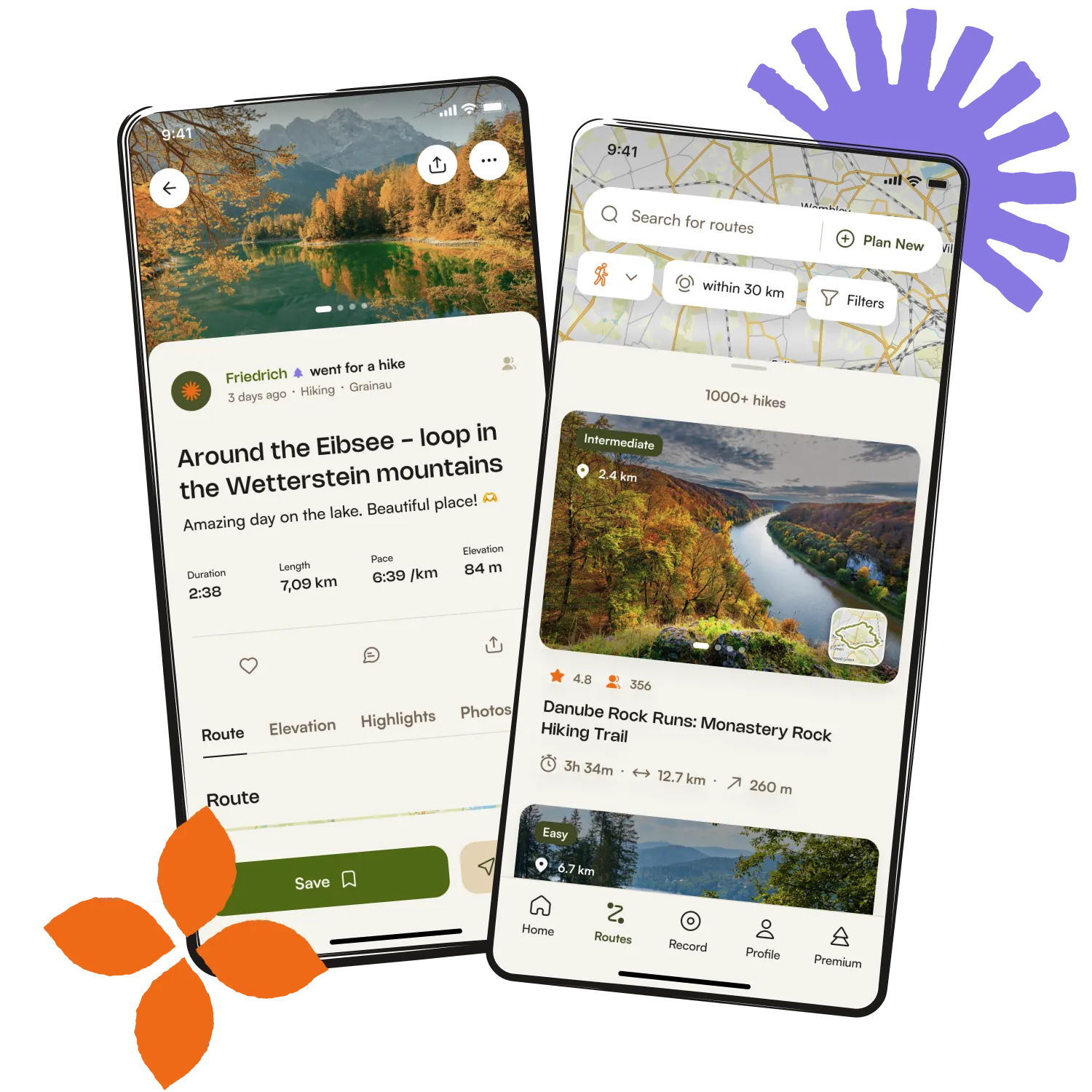
Get inspired with the komoot mobile app


Explore more
Browse the best Hikes in other regions.