Top 14 Lakes around Virneburg
Best lakes around Virneburg are primarily found within the Vulkaneifel region, an area known for its unique geological formations called Maars. These volcanic crater lakes, often referred to as the "eyes of the Eifel," are significant natural attractions near Virneburg. The region features many water-filled maars and numerous dried-up maars, offering diverse natural landscapes and recreational opportunities.
Best lakes around Virneburg
- The most popular lakes is Rieden Forest Lake, a lake with swimming opportunities and hiking trails. It is…
Last updated: July 10, 2026
Rieden Forest Lake
Highlight • Lake
Translated by Google •
Tip by

Riedener Waldsee
Highlight • Lake
Translated by Google •
Tip by

Sign up now to discover places like this
Get recommendations on the best single tracks, peaks, & plenty of other exciting outdoor places.
Sign up for free
Booser Double Maar Wetlands
Highlight • Natural Monument
Translated by Google •
Tip by

View of the Booser Double Maar
Highlight • Viewpoint
Translated by Google •
Tip by

Eiterbachweiher and Shelter
Highlight • Lake
Translated by Google •
Tip by
Sign up for free to discover even more lakes around Virneburg.
Sign up for free
Already have an account?
Start today with a free account
Your next adventure awaits.
Login or Signup
Popular around Virneburg

Dream Trails in the Rhine-Mosel-Eifel Region – Small Trails, Great Nature
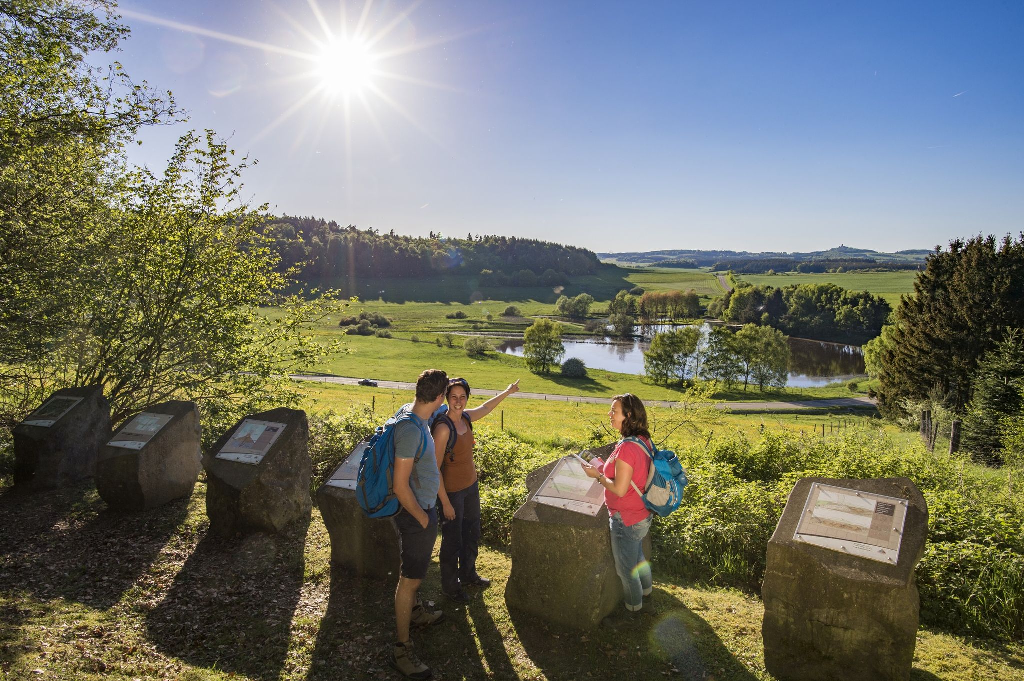
Traumpfade – dreamy, varied hiking trails in Rhein-Mosel-Eifel-Land
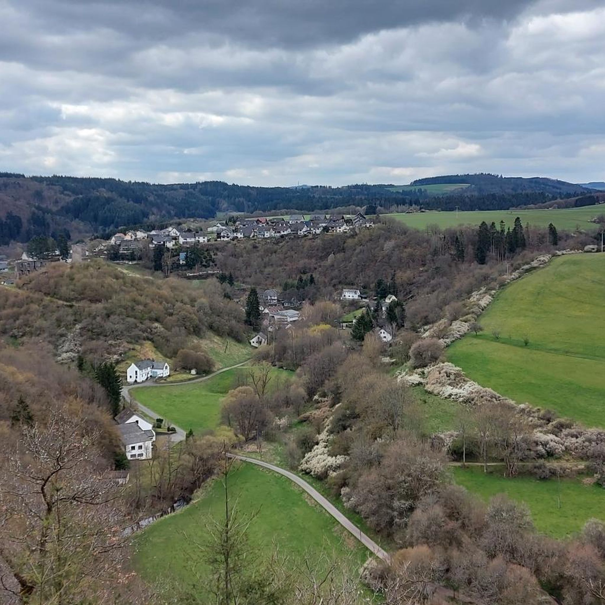
Hiking around Virneburg
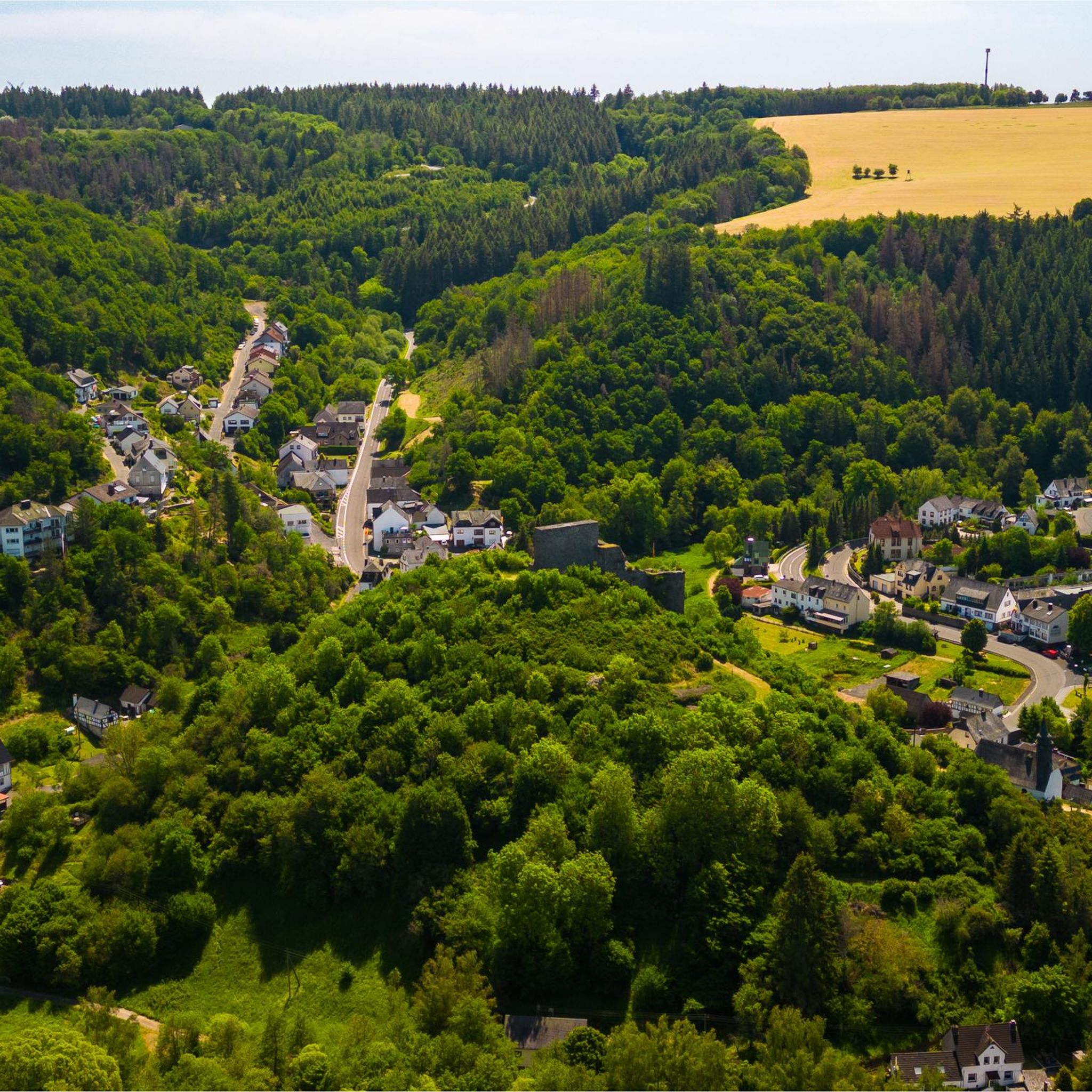
MTB Trails around Virneburg
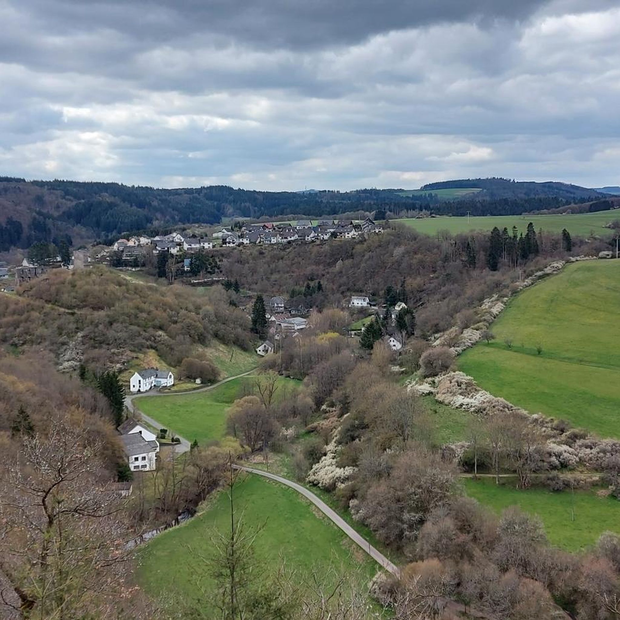
Cycling around Virneburg
Road Cycling Routes around Virneburg
Gravel biking around Virneburg
Running Trails around Virneburg

Tips from the Community

The Luisenplatz Hut is picturesquely situated above Mayen, nestled in the city forest and the gentle hills of the Eifel region. It is considered one of the most beautiful viewpoints in the area and invites hikers to rest and enjoy the breathtaking panoramic views. On the popular "Förstersteig" (Forester's Trail) hiking route, this spot is described as a highlight of the tour – offering a "stunning panoramic view over Mayen, the Maifeld region, and all the way to the Rhine." Just a few steps from the hut is a trigonometric survey point, which underscores the unique topographical location of the site. This prominent point was once used for geodetic measurements.
1
0
The Eiterbachweiher pond is located near Kürrenberg (a district of Mayen) in the Vorderwald or Vorderer Stadtwald of Mayen, nestled in the so-called Eiterbach valley.
1
0

The Boos Double Maar consists of two silted-up maars, which today appear as shallow depressions in the terrain. They are located within the municipality of Boos. The two maars formed between 10,150 and 14,160 years ago and belong to the Quaternary volcanic field of the Volcanic Eifel. The two maars form large, circular basins surrounded by tuff embankments. They lie on a west-southwest-east-northeast trend, thus following the Variscan strike of the subsurface. The west-southwest maar has a diameter of approximately 700 m and a depth of between 30 and 60 m; the east-northeast maar is between 650 and 700 m and a depth of between 50 and 87 m. Both depressions are very humid, so there are still areas that have a permanent water surface. The waters were formerly used as fish ponds, but later silted up and served as meadows and fields. Today, there is once again a fish pond in the west-southwestern part of the maar, the Booser Weiher. In the vicinity of the maars, there are tuff pits where the volcanic tuff formed during the eruption of the maars was mined. Very beautiful nature.
0
0


The history of the Volcanic Eifel can be explored at the Booser Doppelmaar. The Booser Doppelmaar consists of two silted-up maars, which today appear as flat hollows in the terrain. The two maars were formed between 10,150 and 14,160 years ago. Viewed from above, the two maars are circular basins. The west-southwest maar has a diameter of around 700 m and is between 30 and 60 m deep, the east-northeast maar is between 650 and 700 m large and has a depth of 50 to 87 m. The two hollows are very wet, so there are still places that have a permanent water surface. The water areas were previously used as fish ponds, but later silted up and served as meadows and fields. Today there is again a fish pond in the west-southwestern maar, the Booser Weiher, see also https://de.wikipedia.org/wiki/Booser_Doppelmaar
1
1
The Booser Doppelmaartour is an Eifel dream trail. It is important that you look in vain for water here, because the two maars are so-called dry maars.
0
0

From a wooden bridge there is a wonderful view of the swampy foothills of the rainwater-filled Booser Maar, which is located in the Hohe Acht mountain region and approx. 8 km south of the Hohe Acht. The maar lies in a circular tuff basin, whose tuff walls are covered with swampy meadows and the edge of the bank is overgrown with reeds. Galloways graze in the dry, higher meadows.
1
0

I would like to make a correction: the place is called Rieden, and the lake is called Riedener Waldsee. </smartassmodeoff> ;)
0
0
Frequently Asked Questions
What types of lakes can I find around Virneburg?
The area around Virneburg is primarily known for its unique geological formations called Maars. These are volcanic crater lakes, often referred to as the 'eyes of the Eifel.' You'll find both water-filled maars and smaller forest lakes and ponds, offering diverse natural beauty.
Which lakes are best for swimming and relaxation?
For swimming and relaxation, Rieden Forest Lake is a popular choice, offering sunbathing areas and hiking trails. Pulvermaar, one of Germany's deepest lakes, is also a natural swimming pool suitable for all. Gemündener Maar is another excellent option with an outdoor pool, sunbathing area, and boat rentals.
Are there any lakes with historical significance or unique natural features?
Yes, the Vulkaneifel region is rich in history and unique geology. The Booser Double Maar Wetlands are a natural monument showcasing the history of the Volcanic Eifel with two silted-up maars. Weinfelder Maar, also known as Totenmaar, features a 14th-century chapel and a cemetery on its bank, adding to its serene and mystical atmosphere. Meerfelder Maar is known for its tranquility and the presence of olivine bombs, rocks ejected during its volcanic eruption.
What hiking opportunities are available around the lakes?
Many lakes offer excellent hiking trails. Pulvermaar is a popular hiking paradise with picturesque settings. Schalkenmehrener Maar has a beautiful circular path, and Gemündener Maar also features a scenic circular path that connects to the other Daun Maars and an observation tower. The area also offers a variety of routes for cycling and gravel biking. For more detailed routes, you can explore guides like Cycling around Virneburg or Gravel biking around Virneburg.
Are there family-friendly lakes or activities for children?
Absolutely. Rieden Forest Lake is considered family-friendly with swimming opportunities and trails. Gemündener Maar is also great for families, offering swimming, an outdoor pool, and boat rentals. The Eiterbachweiher and Shelter provides a nice spot for a short break with children.
Can I bring my dog to the lakes around Virneburg?
Many trails around the lakes are dog-friendly. For instance, the new Rhine-Moselle-Eifel dream trail around Rieden Forest Lake is an ideal walk for dogs. It's always recommended to keep dogs on a leash and clean up after them to preserve the natural environment.
What is the best time of year to visit the lakes?
The Vulkaneifel lakes are beautiful year-round. Spring and autumn offer pleasant temperatures for hiking and enjoying the changing foliage. Summer is ideal for swimming and water activities. Even winter walks can be enchanting, though some facilities might have reduced hours.
How can I get to the Maars and lakes using public transport?
While Virneburg itself is a smaller municipality, the Vulkaneifel region has some public transport options. However, direct access to all maars by public transport can be limited. It's advisable to check local bus schedules for connections to larger towns like Daun, which are closer to the Daun Maars (Schalkenmehrener Maar, Weinfelder Maar, Gemündener Maar). For more detailed information on the Maars, you can visit rlp-tourismus.com.
Are there places to eat or stay near the lakes?
Yes, several lakes have amenities nearby. Rieden Forest Lake has restaurants and holiday homes. The village on the coast of Schalkenmehrener Maar offers scenic appeal, likely including dining options. The town of Daun, near the Daun Maars, provides various cafes, restaurants, and accommodation choices. It's recommended to check specific lake locations for nearby services.
What is the distance from Virneburg to some of the prominent Maars?
Virneburg is centrally located within the Vulkaneifel. Pulvermaar is a bit further west, while the Daun Maars (Schalkenmehrener Maar, Weinfelder Maar, Gemündener Maar) are located near the town of Daun, southwest of Virneburg. Meerfelder Maar is also situated southwest. Distances vary, but most are within a reasonable driving distance for a day trip from Virneburg.
What makes the Vulkaneifel Maars so special?
The Vulkaneifel Maars are unique because they are volcanic crater lakes, formed by explosive volcanic activity thousands of years ago. They are often called the 'eyes of the Eifel' due to their distinctive circular shapes and deep blue waters. They offer a rare glimpse into the Earth's geological past and provide stunning natural landscapes for recreation and relaxation.
What do visitors enjoy most about the lakes around Virneburg?
Visitors particularly appreciate the serene natural beauty, the clear waters perfect for swimming, and the extensive hiking opportunities. The unique volcanic landscape, combined with the tranquility of the maars and forest lakes, creates a picturesque and relaxing experience. Many also enjoy the family-friendly amenities and the chance to explore the region's geological history.
Most popular routes around Virneburg
Most popular attractions around Virneburg

Get inspired with the komoot mobile app


Explore more
Still not found your perfect lake around Virneburg? Check out the guides of these regions to see even more beautiful places.
