The 4 Most Amazing Peaks around Pisoniano
Best mountain peaks around Pisoniano are found in the Prenestini Mountains, a region characterized by limestone formations and green woods. Pisoniano, a comune in the Metropolitan City of Rome, Italy, serves as a base for exploring these natural landmarks. The area offers diverse hiking trails and opportunities to appreciate the natural landscape.
Best mountain peaks around Pisoniano
- The most popular mountain peaks is Monte Guadagnolo, a summit that offers panoramic views from the highest inhabited center in Lazio. It…
Last updated: June 29, 2026
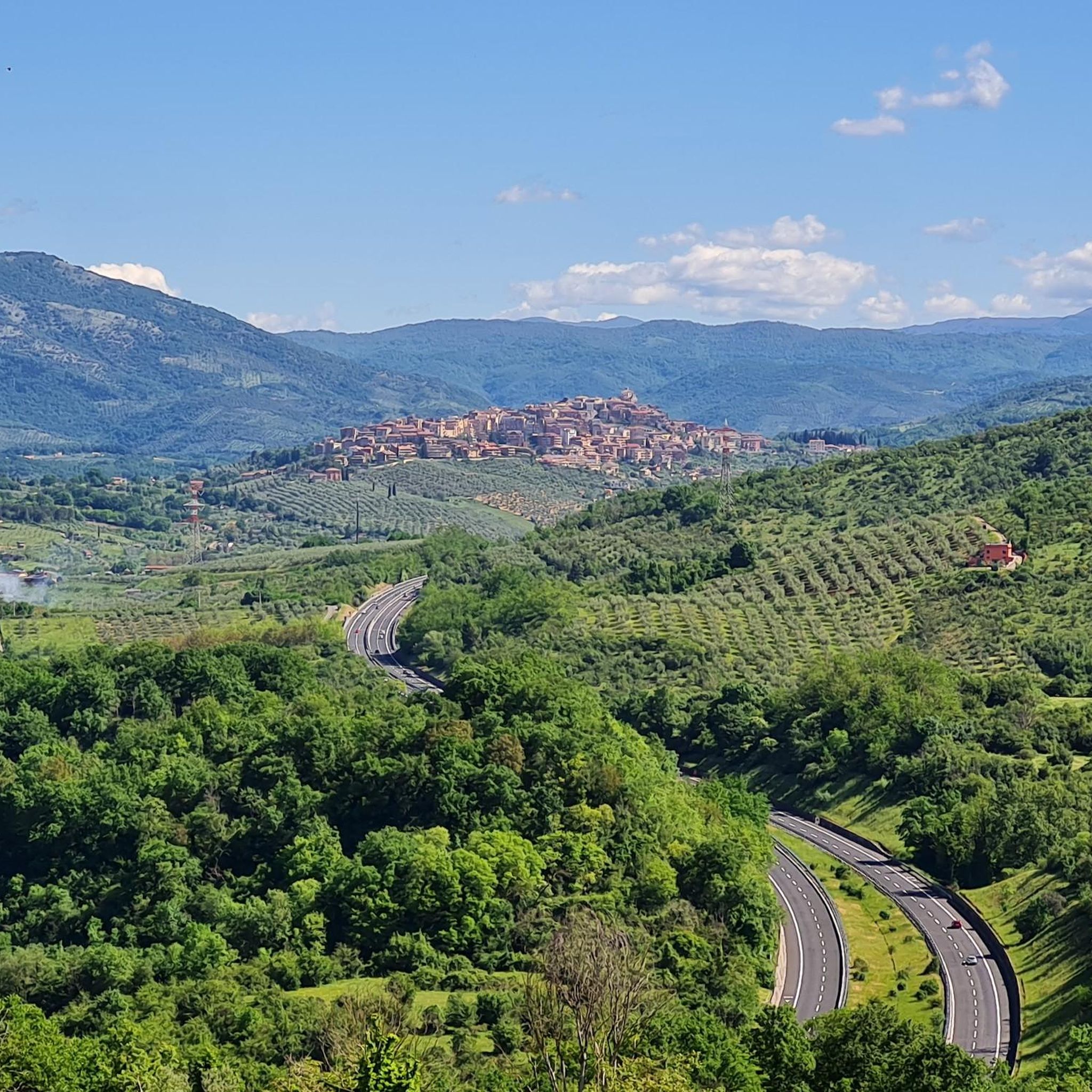
Climb from Serrone to Monte Scalambra
Highlight (Segment) • Climb
Translated by Google •
Tip by

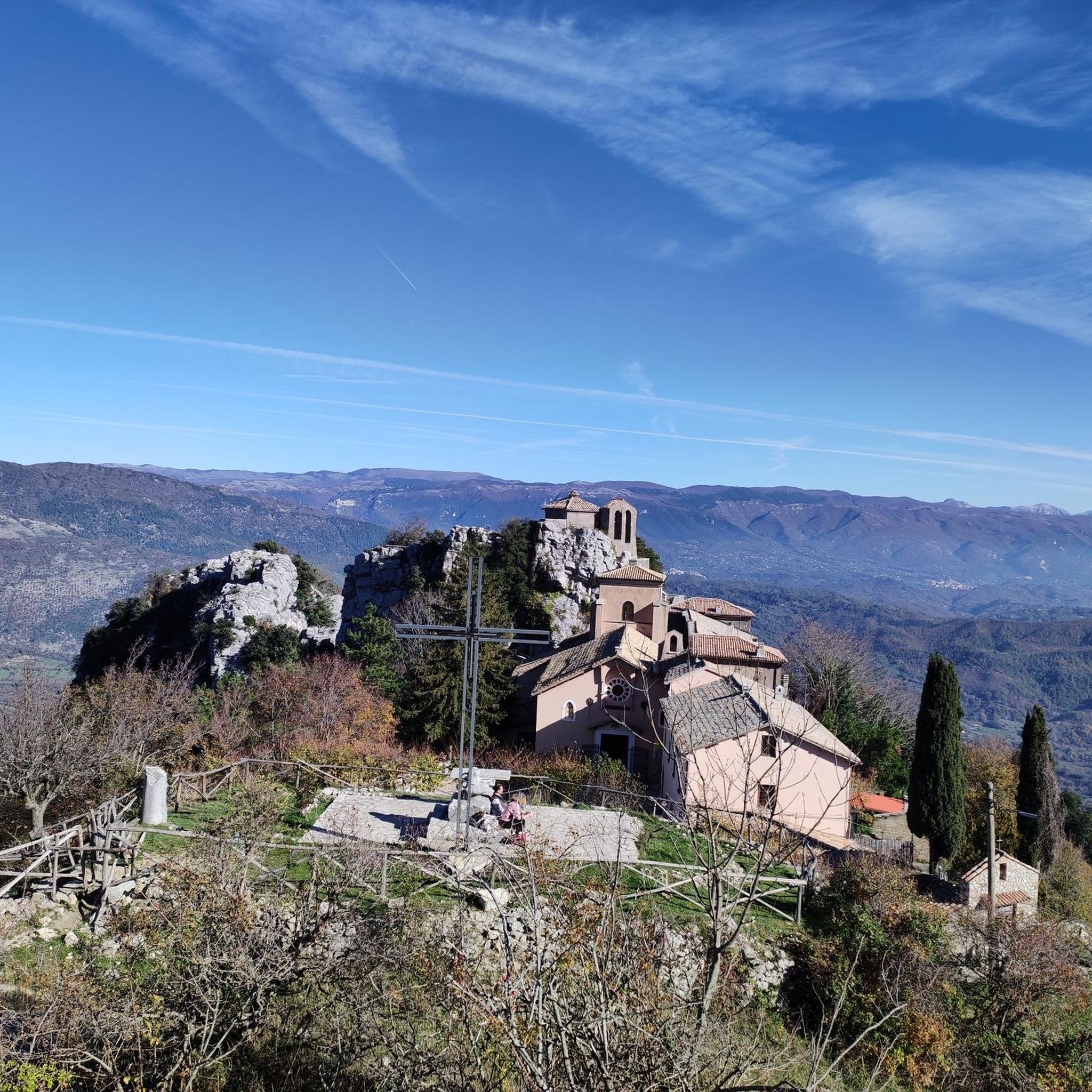
Monte Guadagnolo
Highlight (Segment) • Summit
Translated by Google •
Tip by

Sign up now to discover places like this
Get recommendations on the best single tracks, peaks, & plenty of other exciting outdoor places.
Sign up for free
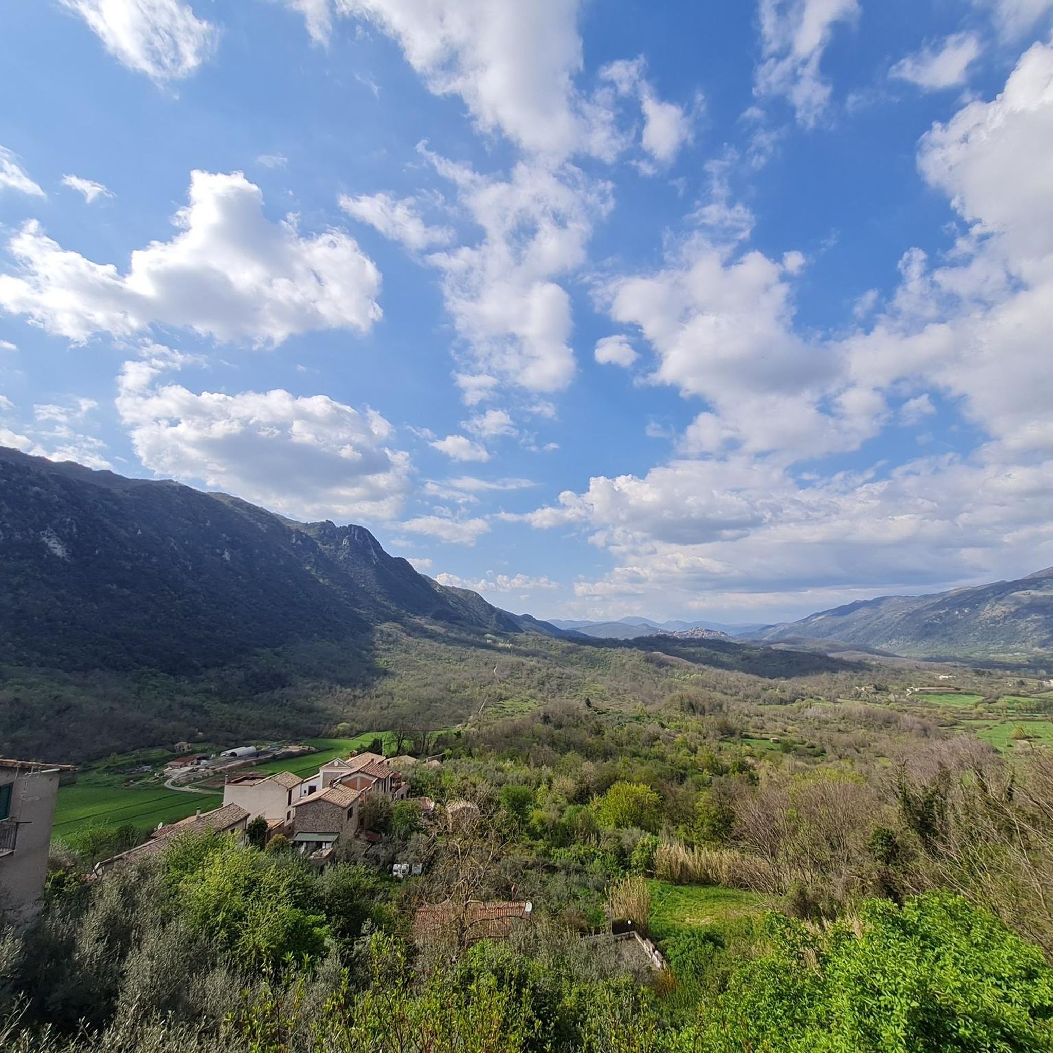
Monte Calo Summit
Highlight • Summit
Translated by Google •
Tip by

Monte Guadagnolo
Highlight • Summit
Translated by Google •
Tip by
Ascents and views
Highlight (Segment) • Viewpoint
The very panoramic road climbs up the group of …
Translated by Google •
Tip by

Sign up for free to discover even more peaks around Pisoniano.
Sign up for free
Already have an account?
Start today with a free account
Your next adventure awaits.
Login or Signup

Tips from the Community

Going up from Capranica the road is very panoramic and easy to cycle on. The village is lively and very pretty.
0
0

Not to be missed in the area, the climb from Casape, according to some, "the Mortirolo of Rome" to be taken slowly
0
0

What an incredible climb, really hard but wonderful
0
0
at the top of one of the hardest climbs in Lazio
0
0
Really beautiful and silent climb. The view repays the effort.
0
0
Stunning climb, you can feel the air changing after each hairpin bend. The descent is a bit difficult given the slopes and the fairly rough asphalt.
0
0
wonderful climb with spectacular views
1
0

the climb is very demanding with sections at 15-16% which are very testing. The route, however, is very beautiful, with many hairpin bends and immersed in thick vegetation. There is practically no vehicular traffic, but especially when going downhill it is best to be very careful
0
0
Frequently Asked Questions
What are some of the most scenic mountain peaks around Pisoniano?
The Prenestini Mountains offer several peaks with beautiful vistas. Monte Guadagnolo, the highest peak, provides breathtaking panoramic views across the Roman plain to the Apennines and even the sea on clear days. Monte Calo Summit also offers a lovely panorama towards Rome and the rocky walls of Monte Guadagnolo.
Which mountain peak offers the highest panoramic views near Pisoniano?
For the highest panoramic views, head to Monte Guadagnolo. At 1,218 meters, it's the highest peak in the Prenestini Mountains. Its summit, home to the village of Guadagnolo (the highest inhabited center in Lazio), provides a strategic viewpoint with expansive vistas.
Are there any peaks suitable for a relaxing visit or stargazing?
Yes, Monte Calo Summit is an excellent choice. This modest peak, at 1,152 meters, is easily reachable and described as a perfect spot for a picnic or for stargazing on clear summer evenings. It offers beautiful views towards Rome and the rocky walls of Monte Guadagnolo.
What kind of hiking trails can I find in the Prenestini Mountains near Pisoniano?
The Prenestini Mountains offer diverse hiking experiences, from challenging ascents to moderate loops through forests and chestnut groves. Trails often feature limestone formations and lead to scenic viewpoints. You can explore routes like the 'Guadagnolo for Monte Vincenzo – ring tour' or the 'San Benedetto Cave – Monte Cerella loop'. For more options, check out the Hiking around Pisoniano guide.
Are there challenging climbs for experienced hikers in the area?
Yes, experienced hikers can find challenging routes. The ascent to Monte Guadagnolo from Pisoniano involves a significant climb of 714 meters over 17.6 km. Another challenging option is the Climb from Serrone to Monte Scalambra, which offers a sweeping panorama from nearly 1400 meters. The 'San Benedetto Cave – Monte Cerella loop from Pisoniano' is also rated as difficult.
Can I find circular hiking routes around Pisoniano's peaks?
Yes, there are several circular hiking routes available. Examples include the 'Guadagnolo for Monte Vincenzo – ring tour' and the 'Capranica Prenestina – Monte Calo Summit loop from Capranica Prenestina'. These routes allow you to experience varied terrain and return to your starting point. More circular options can be found in the Hiking around Pisoniano guide.
Are there specific trails with historical or spiritual significance?
Absolutely. The 'Sentiero Karol Wojtyla' (Karol Wojtyla Trail) starts from Pisoniano and leads to the Santuario della Mentorella. This trail is dedicated to Pope John Paul II, who frequently visited the sanctuary. It winds through majestic chestnut groves and diverse woodlands, offering a blend of natural beauty, historical significance, and spiritual pilgrimage. The Santuario della Mentorella itself is one of Italy's oldest Marian sanctuaries.
What other outdoor activities can I do near these mountain peaks?
Beyond hiking, the area around Pisoniano offers opportunities for mountain biking and running. You can find various routes, such as the 'Sanctuary of Mentorella – Milordo Trail loop' for MTB enthusiasts or the 'Palestrina - Guadagnolo Trail Loop' for runners. Explore more options in the MTB Trails around Pisoniano guide and the Running Trails around Pisoniano guide.
What natural features characterize the Prenestini Mountains around Pisoniano?
The Prenestini Mountains are characterized by their distinctive limestone formations, lush green woods, and diverse flora including ancient chestnut groves, oaks, maples, and hornbeams. The region's geology also creates rocky walls, such as those visible from Monte Calo towards Monte Guadagnolo, and areas like Monte Cerella are noted for their unique rock formations.
What is the best time of year to hike the mountain peaks near Pisoniano?
While specific seasonal tips aren't detailed, the region's diverse forests and panoramic views suggest that spring and autumn would be ideal for hiking, offering pleasant temperatures and vibrant foliage. Summer evenings are noted as perfect for stargazing from Monte Calo, implying clear skies. Always check local weather conditions before your visit.
Are there any less crowded mountain trails or peaks to explore?
For tranquility, consider areas like Climb from Serrone to Monte Scalambra, where you might only encounter very rare cars or some Maremma dogs in summer. Peaks like Monte Cerella and Monte Vincenzo, often part of longer loops through diverse forests, may also offer a more secluded experience compared to the more popular Monte Guadagnolo.
What do visitors enjoy most about the mountain peaks around Pisoniano?
Visitors frequently praise the breathtaking panoramic views, especially from Monte Guadagnolo and Monte Calo Summit. The tranquility and sweeping panoramas found on climbs like the one to Monte Scalambra are also highly appreciated. Many enjoy the beautiful, regular climbs surrounded by nature and the enchanting landscapes.
Most popular attractions around Pisoniano

Get inspired with the komoot mobile app


Explore more
See even more amazing summits around Pisoniano with these guides:
