Top 20 Mountain Passes around Artenara
Best mountain passes around Artenara are found within Gran Canaria's Biosphere Reserve, characterized by dramatic volcanic landscapes and ancient pine forests. The region, situated at an altitude of approximately 1,270 meters, provides access to significant natural landmarks. These passes offer panoramic views of the island's central peaks and geological formations. Artenara's mountainous terrain is a hub for hiking and cycling routes.
Best mountain passes around Artenara
- The most popular mountain passes is San Bartolomé–Ayacata Road, a cycle_way that offers…
Last updated: August 25, 2026
Cruz de Tejeda
Highlight • Mountain Pass
Showing Translation
Tip by

Tauro Pass Serpentine Road
Highlight (Segment) • Mountain Pass
However, then you have the agony of choice on the pass: The road down to Soria is …
Translated by Google •
Tip by

Sign up now to discover places like this
Get recommendations on the best single tracks, peaks, & plenty of other exciting outdoor places.
Sign up for free
GC-605 Mountain Switchbacks
Highlight • Mountain Pass
Translated by Google •
Tip by

San Bartolomé–Ayacata Road
Highlight (Segment) • Cycleway
Tip by

Degollada de la Cruz Grande Viewpoint
Highlight • Viewpoint
Translated by Google •
Tip by

Sign up for free to discover even more mountain passes around Artenara.
Sign up for free
Already have an account?
Start today with a free account
Your next adventure awaits.
Login or Signup
Popular around Artenara

Trail on the Canary Islands – discover the legendary races!
The challenge of the year — Transgrancanaria Classic
Hiking around Artenara
Road Cycling Routes around Artenara
Cycling around Artenara
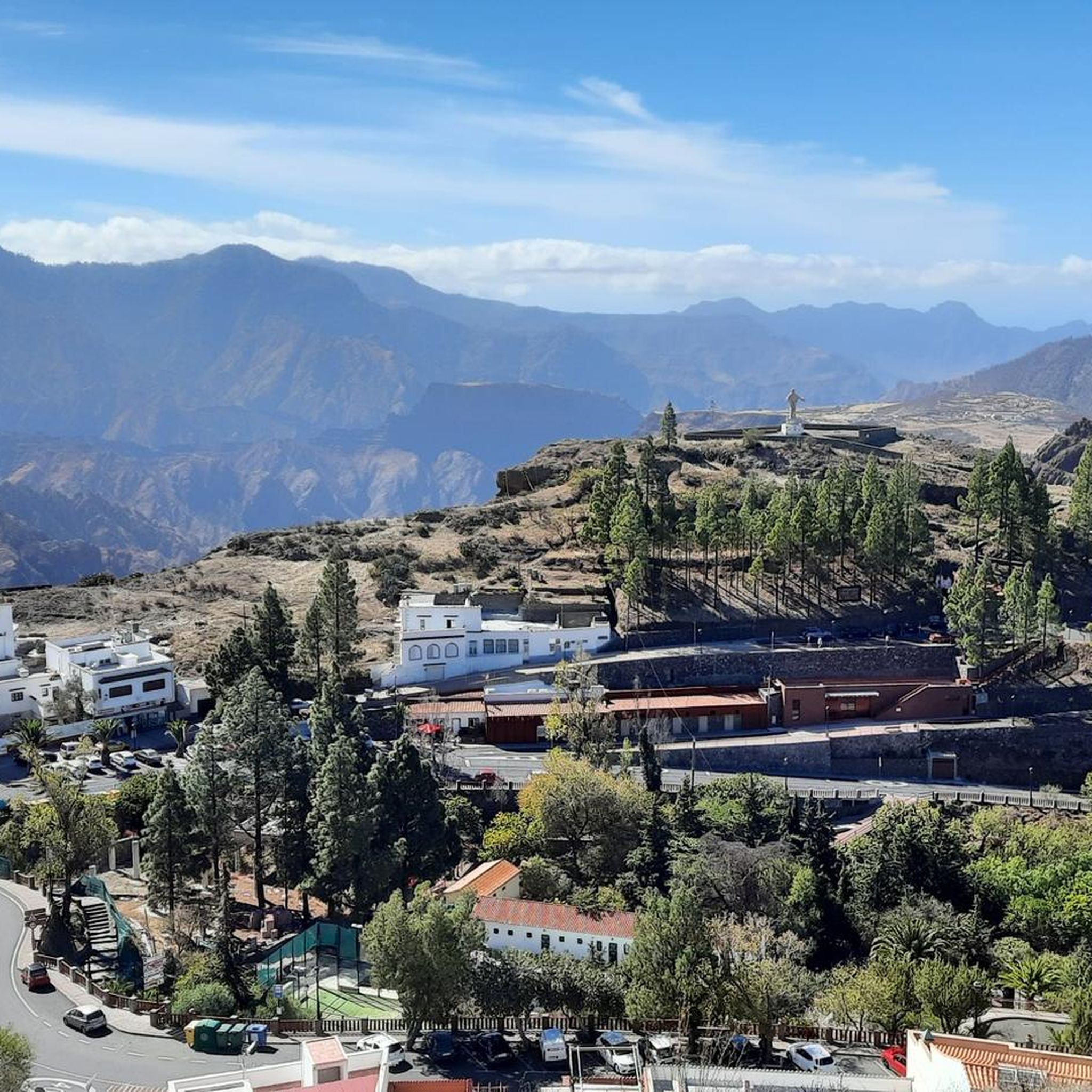
Running Trails around Artenara
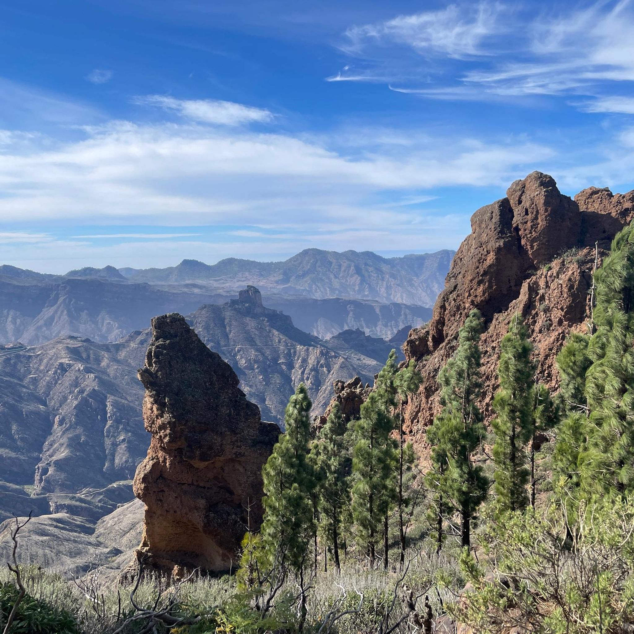
MTB Trails around Artenara

Mountain Hikes around Artenara

Gravel biking around Artenara


Tips from the Community

The condition of the road is very bad… not recommended for racing bikes!
0
0
The entire route is freshly paved. A dream.
1
0

Potholes were filled with cement and a shovel, now everything is uneven. Up is OK, down is a nightmare
1
0

From here you can go hiking, there is a public car park nearby. Locals offer various delicacies😊
1
0
Cruz Grande is an excellent starting point for many hikes.
1
0

The Degollada (valley) of the Cruz Grande offers views of two different valleys. On one side you can see the Caldera de Tirajana, and on the other the Chira basin and the pine forest of Pilancones. This is where the paths from north to south cross. The main route is known as the Ruta de la Plata, and was formerly part of a cattle route for transhumance, as well as part of the Way of St. James in Gran Canaria. The oldest volcanic materials are clearly visible in the Caldera de Tirajana due to the effect of erosion, such as the vent "Risco Blanco" and the volcanic layers "Rompeserones" and "Sepultura del Gigante". The plateaus "El Sequero", "El Sitio" and "Los Llanos de Madrid" were formed by the sliding of volcanic materials. In the ravines are the archaeological sites of. "Rosiana", "Los Sitios" and "La Fortaleza de Ansite". In the fertile and cultivated valley you can see the remains of the former palm groves that originally grew here. The Canary Island pine is common in the upper region of the caldera and the slopes are a habitat for some native botanical rarities. In the upper region of Ayagaures is the natural park and pine grove, Parque Natural de Pilancones, which has a great geological and botanical landscape value. As for the flora of the area, the Canary Island pine plays a major role. A species of rockrose and a viper's bugloss are particularly noteworthy. The area is also a bird sanctuary for the native great spotted woodpecker and the finch. The area was declared a World Biosphere Reserve by UNESCO on 29 June 2005.
3
0

The Cruz Grande is a pass that lies at an altitude of 1249 meters. The saddle is also called Degollada de la Cruz Grande. From up there you can enjoy views of two different valleys. On one side you can see the Caldera de Tirajana and on the other side the Chira basin. Many old paths meet at the Cruz Grande, such as the Ruta de la Plata, which is also part of the Way of St. James in Gran Canaria. During your hike you will also come to the Cruz Grande. From there you descend on the Camino Real to San Bartolomé.
2
0
The Degollada (valley) of the Cruz Grande offers views of two different valleys. On one side you can see the Caldera de Tirajana, and on the other the Chira basin and the pine forest of Pilancones. This is where the paths from north to south cross. The main route is known as the Ruta de la Plata, and was formerly part of a cattle route for transhumance, as well as part of the Way of St. James in Gran Canaria. The oldest volcanic materials are clearly visible in the Caldera de Tirajana due to the effect of erosion, such as the vent "Risco Blanco" and the volcanic layers "Rompeserones" and "Sepultura del Gigante". The plateaus "El Sequero", "El Sitio" and "Los Llanos de Madrid" were formed by the sliding of volcanic materials. In the ravines are the archaeological sites of. "Rosiana", "Los Sitios" and "La Fortaleza de Ansite". In the fertile and cultivated valley you can see the remains of the former palm groves that originally grew here. The Canary Island pine is common in the upper region of the caldera and the slopes are a habitat for some native botanical rarities. In the upper region of Ayagaures is the natural park and pine grove, Parque Natural de Pilancones, which has a great geological and botanical landscape value. As for the flora of the area, the Canary Island pine plays a major role. A species of rockrose and a viper's bugloss are particularly noteworthy. The area is also a bird sanctuary for the native great spotted woodpecker and the finch. The area was declared a World Biosphere Reserve by UNESCO on 29 June 2005.
6
1
Frequently Asked Questions
Which mountain passes offer the most iconic views around Artenara?
For breathtaking panoramic views, Cruz de Tejeda is a must-visit, offering expansive vistas of Roque Nublo, Roque Bentayga, and even Mount Teide on clear days. Degollada de Las Palomas also provides a unique perspective of the Caldera de Tejeda, Roque Nublo, and Roque Bentayga. For views directly over Artenara and the Caldera, consider the ascent to Montaña de Artenara via Degollada de El Toril.
Are there amenities available at the mountain passes?
Yes, Cruz de Tejeda is a vibrant hub with restaurants, hotels, and local craft stalls selling Canarian products. It's a popular stopping point for travelers. Other passes, like Degollada de la Cruz Grande, may have fewer direct amenities but serve as important starting points for trails.
What kind of outdoor activities can I do near the mountain passes around Artenara?
The mountain passes around Artenara are excellent starting points for various outdoor activities. You can find numerous hiking trails, including those that follow ancient 'caminos reales'. For cycling enthusiasts, there are challenging routes like the Tauro Pass Serpentine Road and the San Bartolomé–Ayacata Road. You can explore more options for hiking, road cycling, and running in the area.
What is the best time of year to visit the mountain passes in Artenara?
The Gran Canaria Biosphere Reserve, where Artenara is located, offers pleasant conditions for visiting mountain passes throughout much of the year. The region is known for its mild climate. However, for the clearest views and most comfortable hiking, spring (March to May) and autumn (September to November) are often ideal, avoiding the peak summer heat and potential winter rains or cooler temperatures at higher altitudes.
Are there family-friendly options among the mountain passes or nearby trails?
Yes, Cruz de Tejeda is considered family-friendly due to its amenities and accessible viewpoints. While many trails in the mountainous region can be challenging, there are also moderate hiking routes available. When planning, look for trails described as 'moderate' or check specific route details for suitability for all family members.
What unique geological features can I observe from Artenara's mountain passes?
The mountain passes around Artenara offer spectacular views of Gran Canaria's unique volcanic geology. From passes like Degollada de Las Palomas and Cruz de Tejeda, you can observe the massive Caldera de Tejeda, iconic rock formations like Roque Nublo and Roque Bentayga, and ancient pine forests. The area also showcases the geological complexity of the Tejeda caldera with features like the vent 'Risco Blanco' and volcanic layers 'Rompeserones' and 'Sepultura del Gigante' visible from viewpoints like Degollada de la Cruz Grande.
Are there historical or cultural sites near the mountain passes?
Yes, the region is rich in history. Degollada de Las Palomas is part of a historical royal trail and is near archaeological relics from the ancient Canarians, such as the Cuevas del Caballero and Cueva de los Candiles. Many hiking trails follow ancient 'caminos reales' used by the Guanches, the island's aboriginal inhabitants. The Mirador de Unamuno, commemorating writer Miguel de Unamuno, also offers a cultural connection to the landscape.
What is the typical terrain and difficulty of trails around Artenara's mountain passes?
The terrain around Artenara's mountain passes is diverse, ranging from well-maintained roads with good asphalt, like parts of the Tauro Pass Serpentine Road, to rougher surfaces on some cycling and hiking paths, such as the San Bartolomé–Ayacata Road. Many trails involve significant elevation changes, traversing old forest trails and rural paths under Canary pine trees. Difficulty can vary from moderate to challenging, especially for routes that ascend to higher points like Montaña de Artenara.
Is parking available at the mountain passes?
Parking availability varies by pass. Cruz de Tejeda, being a popular tourist hub, has parking facilities. Degollada de la Cruz Grande is also noted as an important starting point for hikes with parking available. For other passes or trailheads, it's advisable to check specific route information for designated parking areas.
Can I reach the mountain passes by public transport?
Public transport options exist for some passes. For example, Degollada de la Cruz Grande has a bus stop served by bus line 18 (Maspalomas <-> Tejeda), though services may be infrequent. For other passes, public transport might be less direct, and a combination of bus and walking or private transport may be necessary. It's recommended to check local bus schedules for the most up-to-date information.
What do visitors enjoy most about the mountain passes around Artenara?
Visitors frequently highlight the stunning panoramic views, especially of iconic landmarks like Roque Nublo and Roque Bentayga. The challenging yet rewarding cycling routes with hairpin curves and good asphalt, as well as the diverse hiking trails through ancient pine forests, are also highly appreciated. The sense of immersion in nature and the unique geological formations are often mentioned as key attractions.
Are there any specific viewpoints I should visit near Artenara?
Beyond the passes themselves, Artenara is surrounded by dramatic viewpoints. The Mirador de Unamuno offers spectacular views of Barranco Grande, Roque Bentayga, and Roque Nublo. Mirador de Los Poetas and Mirador del Corazón de Jesús provide beautiful vistas of Artenara and its surroundings. Mirador de la Atalaya and Mirador de la Esquina within Artenara village also offer impressive panoramic views.
Most popular routes around Artenara
Most popular attractions around Artenara

Get inspired with the komoot mobile app


Explore more
See even more epic mountain passes by checking out these guides around Artenara:
