The best hikes from bus stations around Sandl
4.6
(1333)
8,908
hikers
51
hikes
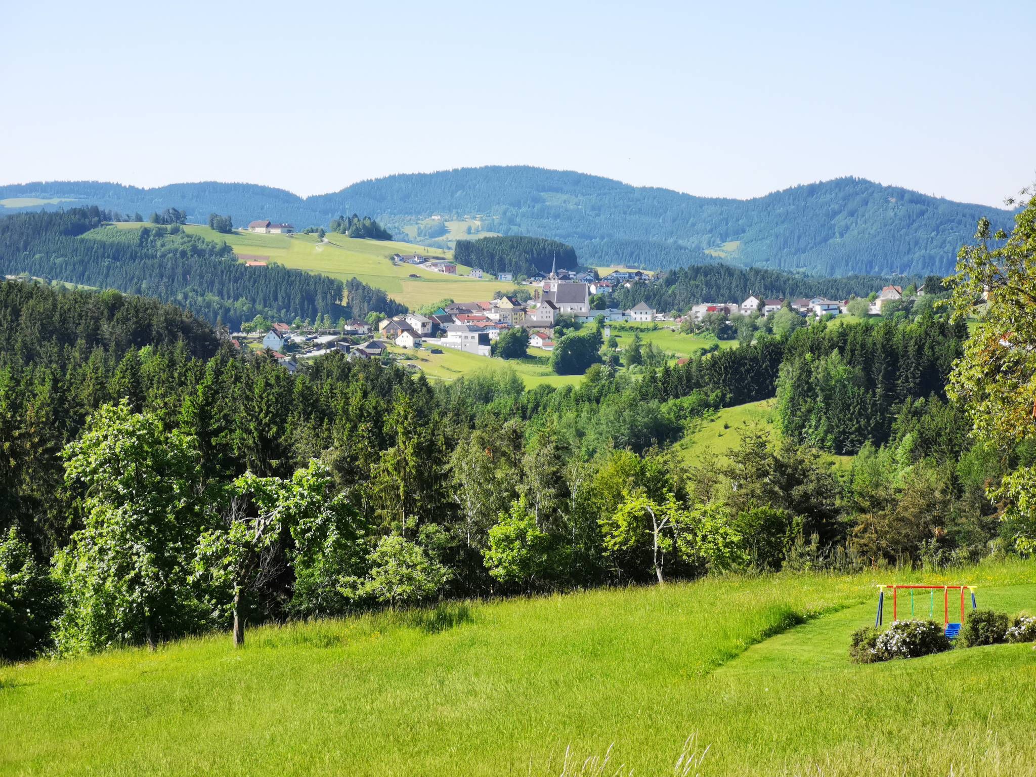
Hiking around Sandl offers trails through a landscape characterized by Sandhills topography, featuring a mix of forested areas and wetlands. The region includes natural features such as the Rosenhof Ponds and various streams. Hikers can expect varied scenery, including areas with wildflowers and sweet pepperbush during spring and early summer. The terrain provides options for exploring both woodlands and open areas.
Best bus station hiking trails around Sandl
- The most popular bus station hiking route is Kleiner Rosenhoferteich – Rosenhof…
Last updated: July 10, 2026
4.8
(31)
199
hikers
9.49km
02:35
140m
140m
Moderate hike. Good fitness required. Easily-accessible paths. Suitable for all skill levels.
4.8
(26)
187
hikers
Easy hike. Great for any fitness level. Easily-accessible paths. Suitable for all skill levels.

Sign up for free
4.9
(24)
108
hikers
12.0km
03:19
210m
210m
Moderate hike. Good fitness required. Easily-accessible paths. Suitable for all skill levels.
4.7
(10)
121
hikers
Easy hike. Great for any fitness level. Easily-accessible paths. Suitable for all skill levels.
4.8
(6)
35
hikers
6.50km
01:52
160m
160m
Easy hike. Great for any fitness level. Easily-accessible paths. Suitable for all skill levels.
Get access to more routes and recommendations from other explorers.
Sign up for free
Already have an account?
Our route recommendations are based on thousands of hikes, rides, and runs completed by other people on komoot.
Start today with a free account
Your next adventure awaits.
Login or Signup



Tips from the Community


The ponds belong to the Rosenhof Forestry Estate and were originally used for timber storage. Swimming is not permitted in the large pond, but swimming is permitted in the small pond. However, the dark water takes some getting used to and requires a bit of courage.
5
1
The ponds belong to the Rosenhof Forestry Estate and were originally used for timber storage. Swimming is not permitted in the large pond, but swimming is permitted in the small pond. However, the dark water takes some getting used to and requires a bit of courage.
5
0
The ponds belong to the Rosenhof Forestry Estate and were originally used for timber storage. Swimming is not permitted in the large pond, but swimming is permitted in the small pond. However, the dark water takes some getting used to and requires a bit of courage.
5
0


Rosenhof Castle was built in 1760. Unfortunately, the beautiful castle complex can only be viewed from the outside.
0
0
Beautiful lake which is very popular as a bathing lake in summer.
0
0
Both ponds are approximately 600 meters long and 300 meters wide. The smaller (lower) one is a public bathing lake, while the upper one is not open to the public. The Flammbach flows through the ponds and flows into the Schwarze Aist. This in turn flows via the Waldaist into the Aist and thus into the Danube. The Rosenhof ponds were built in 1823 primarily to have enough water for the timber float. The timber float was almost 80 kilometers long, the gradient was 650 meters; there were 50 weirs along the route. In the 19th and 20th centuries, a lot of timber was floated every spring via the Flammbach, the Schwarze Aist and the Waldaist into the Aist, where the logs were then tied into large rafts in Au on the Danube and taken to Vienna. It was not until 1947 that the laborious and dangerous timber floating process was stopped – the logs could now be transported more cheaply by truck and rail.
0
0
Frequently Asked Questions
How many hiking trails are accessible from bus stations around Sandl?
There are over 50 hiking trails around Sandl that are easily accessible from bus stations, offering a wide range of options for all skill levels. These routes allow you to explore the diverse landscapes of the region without needing a car.
Are there easy hiking trails available from Sandl bus stops?
Yes, Sandl offers 17 easy hiking trails directly accessible from bus stations. A great option for a relaxed outing is the Kleiner Rosenhoferteich – Großer Rosenhofteich Boathouse loop from Schloss Rosenhof, which is an easy 5.7 km route perfect for a leisurely walk.
Can I find circular hiking routes starting from Sandl bus stations?
Many of the trails accessible from Sandl bus stations are circular routes, allowing you to start and end your hike at the same point. For example, the Kleiner Rosenhoferteich – Rosenhof Ponds loop from Sandl is a moderate 9.5 km circular hike that showcases the local ponds and scenery.
What kind of natural features can I expect to see on hikes around Sandl?
The Sandl region is characterized by a mix of forested areas and wetlands. Hikers can expect to traverse through diverse ecosystems, including scenic ponds like the Rosenhof Ponds, and potentially encounter wildflowers during spring and early summer. The landscape offers varied scenery and opportunities to observe local flora and fauna.
Are there any viewpoints or landmarks along the bus-accessible trails in Sandl?
Yes, several trails offer scenic viewpoints and interesting landmarks. For instance, the View of Sandl – Knobarau Rock loop from Sandl provides excellent vistas. You might also encounter natural monuments like the Herzogreitherfelsen or the tranquil Bründl Chapel and Augenbründl in St. Leonhard, which are highlights in the wider region.
What is the best time of year to go hiking from Sandl bus stations?
Spring and early summer are particularly beautiful, with wildflowers in bloom and pleasant temperatures. However, the diverse landscapes of Sandl, including its forests and wetlands, offer enjoyable hiking experiences throughout the warmer months. Always check local weather conditions before heading out.
Are there any longer, more challenging hikes from Sandl bus stops?
For those seeking a longer adventure, the Kleiner Rosenhoferteich – Hikers' Shelter loop from Schloss Rosenhof is a moderate 17.2 km route that provides a more extended exploration of the area's natural beauty. There is also one difficult trail among the bus-accessible options for experienced hikers.
What do other hikers say about the trails around Sandl?
The komoot community highly rates the hiking experiences around Sandl, with an average score of 4.56 out of 5 stars. Hikers often praise the well-maintained paths, the peaceful natural surroundings, and the accessibility of the trails from public transport.
Can I find places to eat or drink near Sandl bus stations after a hike?
While specific cafes or restaurants directly at every bus stop are not guaranteed, Sandl as a community offers options for refreshments. It's advisable to check local listings for establishments in the main village area or along popular routes to plan your post-hike meal or drink.
Are there family-friendly hiking options accessible by bus in Sandl?
Yes, Sandl offers several easy trails suitable for families. The region's natural features, such as the serene ponds and varied forest paths, provide an engaging environment for children. Look for shorter, less strenuous loops to enjoy with the whole family.
How long do the bus-accessible hikes in Sandl typically take?
The duration of hikes varies significantly. You can find shorter routes like the Kleiner Rosenhoferteich – Großer Rosenhofteich Boathouse loop from Schloss Rosenhof, which takes around 1.5 hours, up to longer, moderate trails such as the Kleiner Rosenhoferteich – Hikers' Shelter loop from Schloss Rosenhof, which can take over 4.5 hours. There are options to suit different time commitments.
Most popular routes around Sandl
Most popular attractions around Sandl

Get inspired with the komoot mobile app


Explore more
Browse the best Hikes in other regions.
