The best walks and hikes around Sandl
4.6
(1392)
9,028
hikers
69
hikes
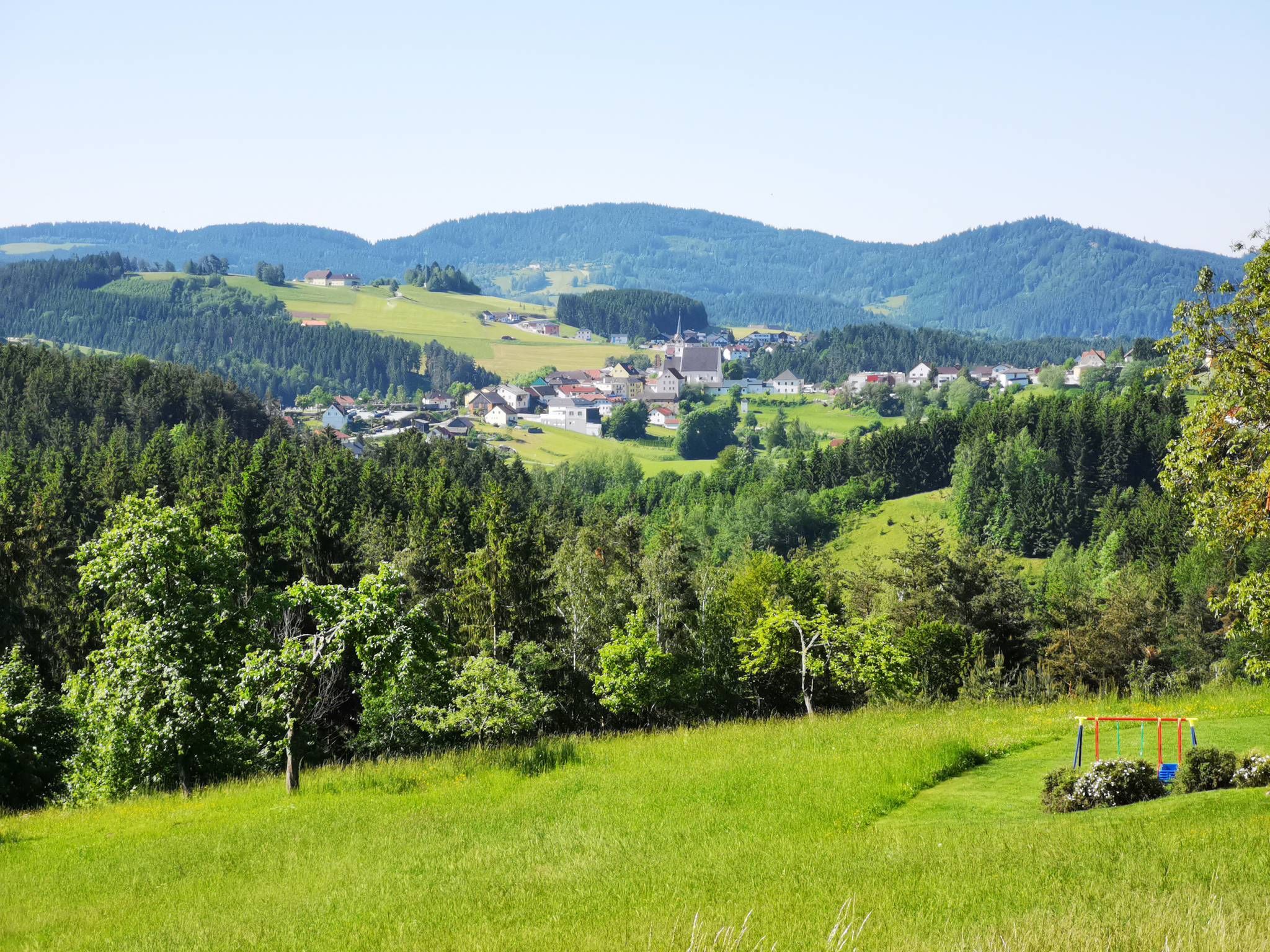
Hiking around Sandl, Austria, offers a diverse landscape characterized by gentle hills, dense forests, and open fields. The region features a mosaic of woodlands and small fields, providing varied terrain for outdoor activities. Hikers can explore impressive rock formations and scenic areas like the Rosenhofer Ponds and the Maltschursprung. This natural environment caters to a range of hiking preferences.
Best hiking trails around Sandl
- The most popular hiking route is Kleiner Rosenhoferteich – Rosenhof Ponds loop from Sandl, a…
Last updated: October 5, 2026
4.8
(33)
201
hikers
9.49km
02:35
140m
140m
Moderate hike. Good fitness required. Easily-accessible paths. Suitable for all skill levels.
4.9
(28)
188
hikers
Easy hike. Great for any fitness level. Easily-accessible paths. Suitable for all skill levels.

4.9
(25)
110
hikers
12.0km
03:19
210m
210m
Moderate hike. Good fitness required. Easily-accessible paths. Suitable for all skill levels.
4.7
(14)
72
hikers
17.2km
04:40
250m
250m
Moderate hike. Good fitness required. Easily-accessible paths. Suitable for all skill levels.
4.8
(12)
57
hikers
3.79km
01:06
110m
110m
Easy hike. Great for any fitness level. Easily-accessible paths. Suitable for all skill levels.
Get access to more routes and recommendations from other explorers.
Already have an account?
Our route recommendations are based on thousands of hikes, rides, and runs completed by other people on komoot.
Start today with a free account
Your next adventure awaits.



Tips from the Community


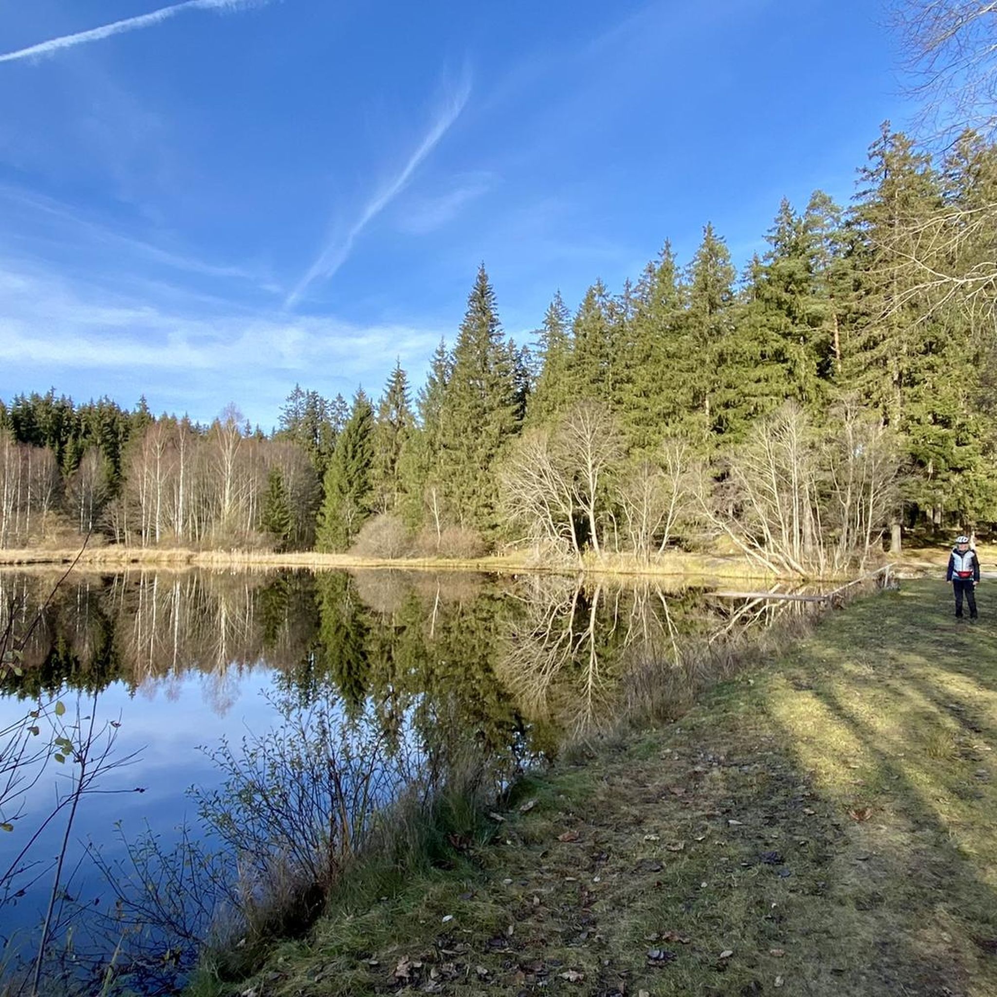
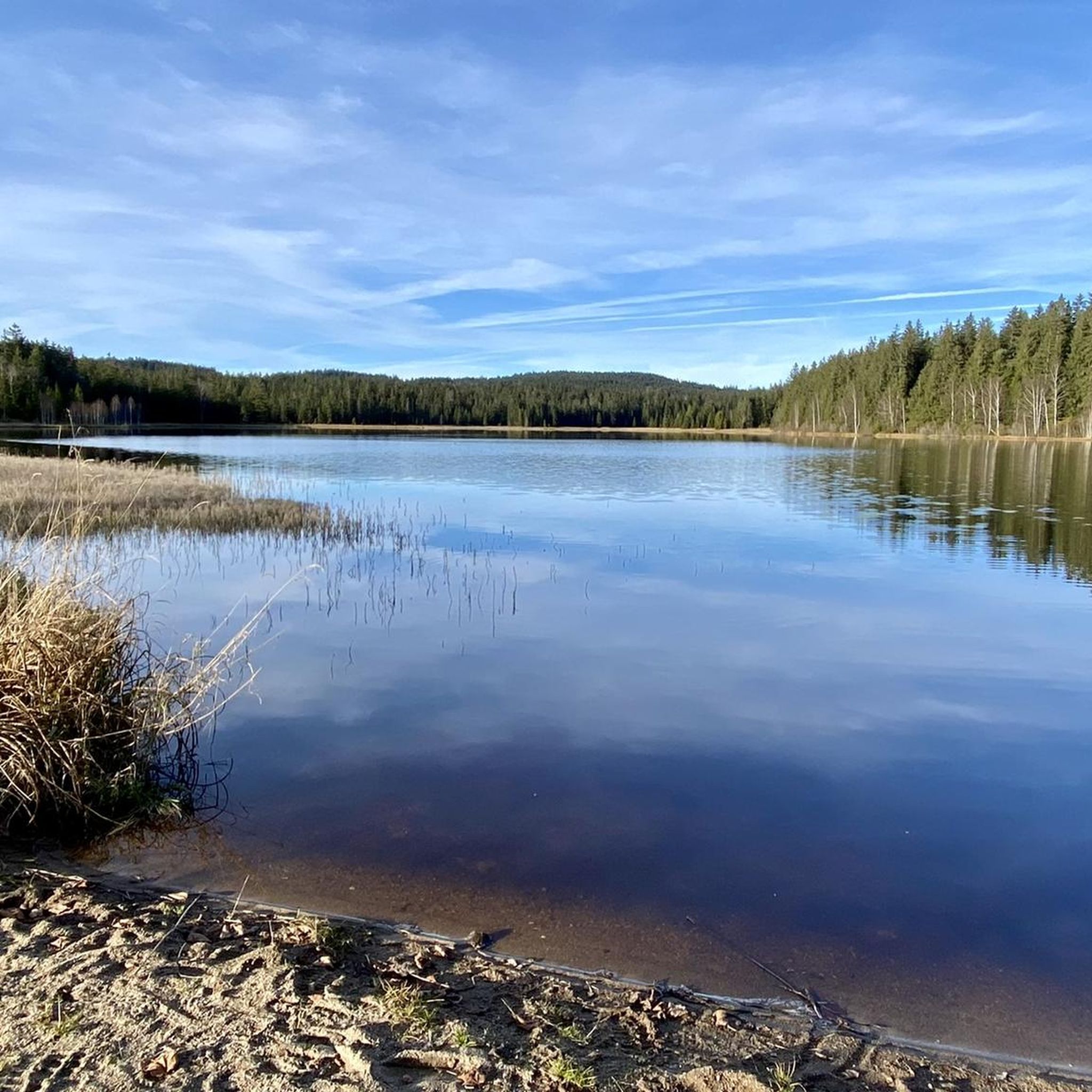
The ponds belong to the Rosenhof Forestry Estate and were originally used for timber storage. Swimming is not permitted in the large pond, but swimming is permitted in the small pond. However, the dark water takes some getting used to and requires a bit of courage.
5
1
The ponds belong to the Rosenhof Forestry Estate and were originally used for timber storage. Swimming is not permitted in the large pond, but swimming is permitted in the small pond. However, the dark water takes some getting used to and requires a bit of courage.
5
0
The ponds belong to the Rosenhof Forestry Estate and were originally used for timber storage. Swimming is not permitted in the large pond, but swimming is permitted in the small pond. However, the dark water takes some getting used to and requires a bit of courage.
5
0


Rosenhof Castle was built in 1760. Unfortunately, the beautiful castle complex can only be viewed from the outside.
0
0
Beautiful lake which is very popular as a bathing lake in summer.
0
0
Both ponds are approximately 600 meters long and 300 meters wide. The smaller (lower) one is a public bathing lake, while the upper one is not open to the public. The Flammbach flows through the ponds and flows into the Schwarze Aist. This in turn flows via the Waldaist into the Aist and thus into the Danube. The Rosenhof ponds were built in 1823 primarily to have enough water for the timber float. The timber float was almost 80 kilometers long, the gradient was 650 meters; there were 50 weirs along the route. In the 19th and 20th centuries, a lot of timber was floated every spring via the Flammbach, the Schwarze Aist and the Waldaist into the Aist, where the logs were then tied into large rafts in Au on the Danube and taken to Vienna. It was not until 1947 that the laborious and dangerous timber floating process was stopped – the logs could now be transported more cheaply by truck and rail.
0
0
Frequently Asked Questions
How many hiking trails are available in Sandl?
Sandl offers a wide network of over 70 hiking trails, catering to various preferences and skill levels. You'll find a diverse range of options, from easy strolls to more challenging excursions through its picturesque landscapes.
What kind of terrain can I expect when hiking in Sandl?
The terrain in Sandl is quite varied, characterized by gentle hills, dense forests, and open fields. You'll encounter a mosaic of woodlands, small fields, and impressive rock formations, providing a continuously engaging environment for hikers.
What do other hikers say about the trails in Sandl?
The routes in Sandl are highly rated by the komoot community, with an average score of 4.7 stars from over 200 reviews. Hikers often praise the diverse landscapes, well-maintained paths, and the stunning panoramic views from elevated points.
Are there many circular hiking routes in Sandl?
Yes, Sandl is well-suited for circular hikes. Many trails are designed as loops, allowing you to start and end at the same point. For example, the Kleiner Rosenhoferteich – Rosenhof Ponds loop from Sandl is a popular moderate option, and the Maltsch Spring – Start Point loop from Sandl offers a shorter, easy walk.
Are there easy hiking options suitable for beginners or families in Sandl?
Absolutely. Sandl has over 25 easy hiking routes, perfect for beginners or families. The Kleiner Rosenhoferteich – Großer Rosenhofteich Boathouse loop from Schloss Rosenhof is an easy 5.7 km path that provides a gentle walk around the ponds, ideal for a relaxed outing.
What are some notable natural landmarks or viewpoints to discover while hiking in Sandl?
Sandl offers several impressive natural features and viewpoints. You can find trails leading to the Summit of Sternstein, which provides breathtaking panoramic views, or explore the unique Herzogreitherfelsen. The Hoh-Haus at Buchberg Observation Tower also offers expansive views of the surrounding beauty.
Can I find trails that lead past water features like lakes or springs?
Yes, Sandl features several beautiful water bodies. The Rosenhofer Ponds are a central attraction, with routes like the Rosenhof Ponds – Kleiner Rosenhoferteich loop from Sandl. The Maltschursprung, a natural spring, is another highlight, accessible via trails such as the Maltsch Spring – Start Point loop from Sandl.
Are there any ancient forests or unique ecosystems to explore?
Yes, Sandl is home to the Sandl Primeval Forest, where you can explore ancient woodlands. Some routes may also lead past the Black Wall and potentially include a detour to the Hacklbrunn wet meadows, offering a glimpse into diverse ecosystems.
Is Sandl a good destination for dog-friendly hikes?
Sandl's varied landscapes and extensive trail network make it a great place for hiking with dogs. Many trails wind through forests and open fields, providing ample space for your canine companion. Always remember to keep your dog on a leash where required and clean up after them.
What is the best time of year to go hiking in Sandl?
Sandl is particularly stunning in spring and autumn, offering uninterrupted panoramic views and pleasant temperatures for hiking. While beautiful year-round, these seasons highlight the region's natural beauty with vibrant colors or fresh greenery.
Are there any challenging hikes for experienced trekkers?
While Sandl is known for its moderate and easy trails, there are a few more challenging options for experienced trekkers. The region offers a couple of difficult routes that provide a greater physical challenge and often lead to more remote or elevated viewpoints.
Where can I find parking for hiking trails in Sandl?
Parking is generally available at common starting points for trails in and around Sandl, especially near popular attractions like the Rosenhofer Ponds or trailheads on the outskirts of the village. Specific parking information is often detailed on individual komoot tour pages.
Most popular routes around Sandl
Most popular attractions around Sandl

Get inspired with the komoot mobile app


Explore more
Browse the best Hikes in other regions.
