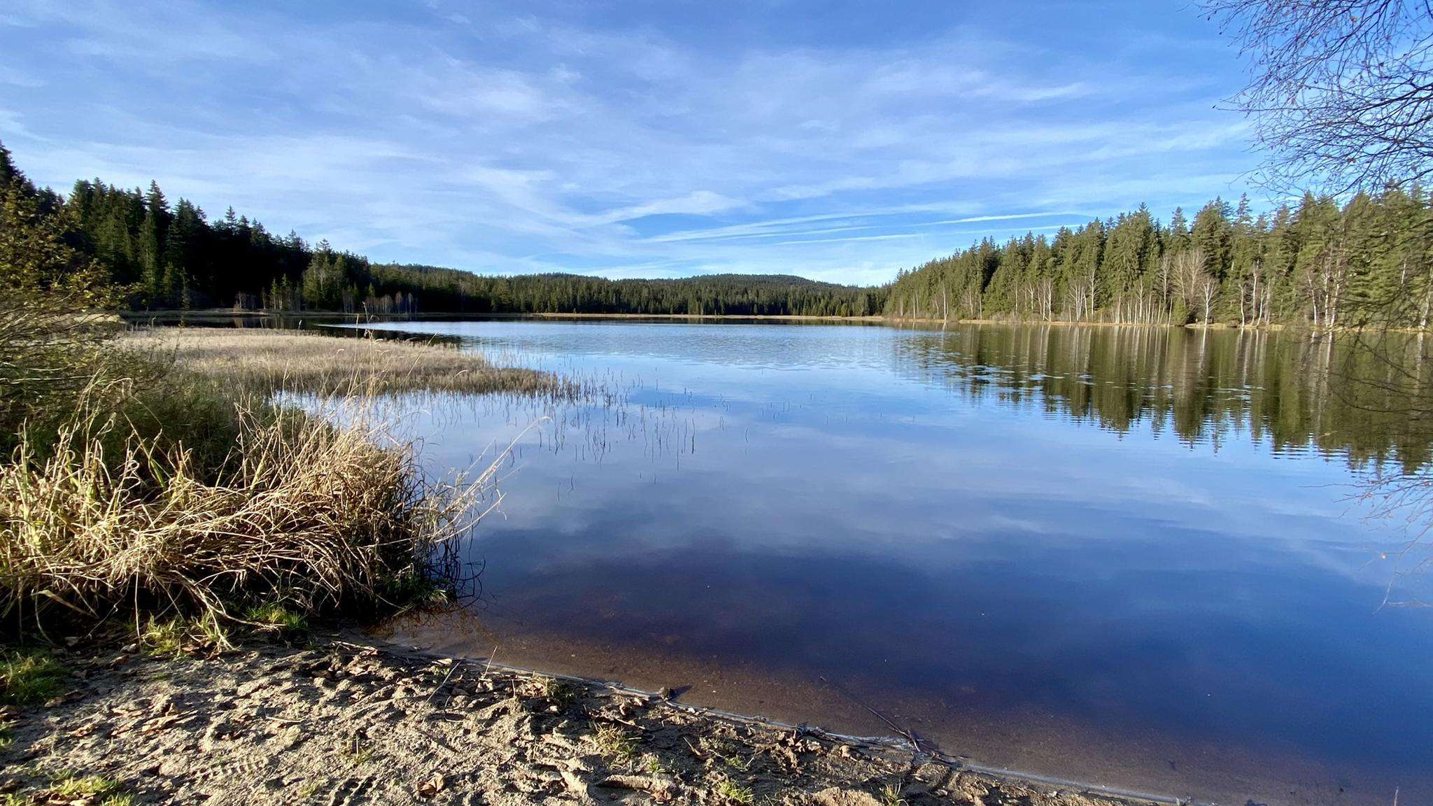
The best running trails around Sandl
4.4
(81)
2,050
runners
12
runs
Jogging around Sandl offers a variety of routes through a landscape characterized by gentle ascents and descents, often passing by local landmarks and natural features. The region features a mix of open areas and sections near bodies of water, providing diverse running environments. Elevation gains on routes are generally moderate, making the area suitable for various fitness levels.
Best jogging routes around Sandl
- The most popular jogging route is Running loop from Schloss Rosenhof, a 3.4 miles (5.5 km)…
Last updated: August 11, 2026
5.0
(3)
13
runners
5.50km
00:36
50m
50m
Moderate run. Good fitness required. Mostly paved surfaces. Suitable for all skill levels.
8
runners
6.81km
00:45
120m
120m
Moderate run. Good fitness required. Mostly paved surfaces. Suitable for all skill levels.

Sign up for free
5
runners
7.23km
00:48
110m
110m
Moderate run. Good fitness required. Mostly paved surfaces. Suitable for all skill levels.
5
runners
8.71km
00:58
150m
150m
Moderate run. Good fitness required. Mostly paved surfaces. Suitable for all skill levels.
5
runners
6.13km
00:39
70m
80m
Moderate run. Good fitness required. Mostly paved surfaces. Suitable for all skill levels.
Get access to more routes and recommendations from other explorers.
Sign up for free
Already have an account?
Our route recommendations are based on thousands of hikes, rides, and runs completed by other people on komoot.
Start today with a free account
Your next adventure awaits.
Login or Signup



Frequently Asked Questions
How many running routes are available around Sandl?
There are 14 dedicated running routes around Sandl documented on komoot, offering a variety of experiences for joggers. Most of these are of moderate difficulty, with a couple of easier options available.
Are there any easy jogging routes suitable for beginners in Sandl?
Yes, Sandl offers a few easier jogging paths. While most routes are moderate, the overall landscape features gentle ascents and descents, making it generally accessible. You can find options suitable for beginners among the 14 available routes.
Are there any circular jogging trails in Sandl?
Yes, many of the running routes in Sandl are circular, allowing you to start and finish at the same point. For example, the Running loop from Schloss Rosenhof and the Running loop from Sandl are popular circular options.
What kind of scenery can I expect on the jogging routes in Sandl?
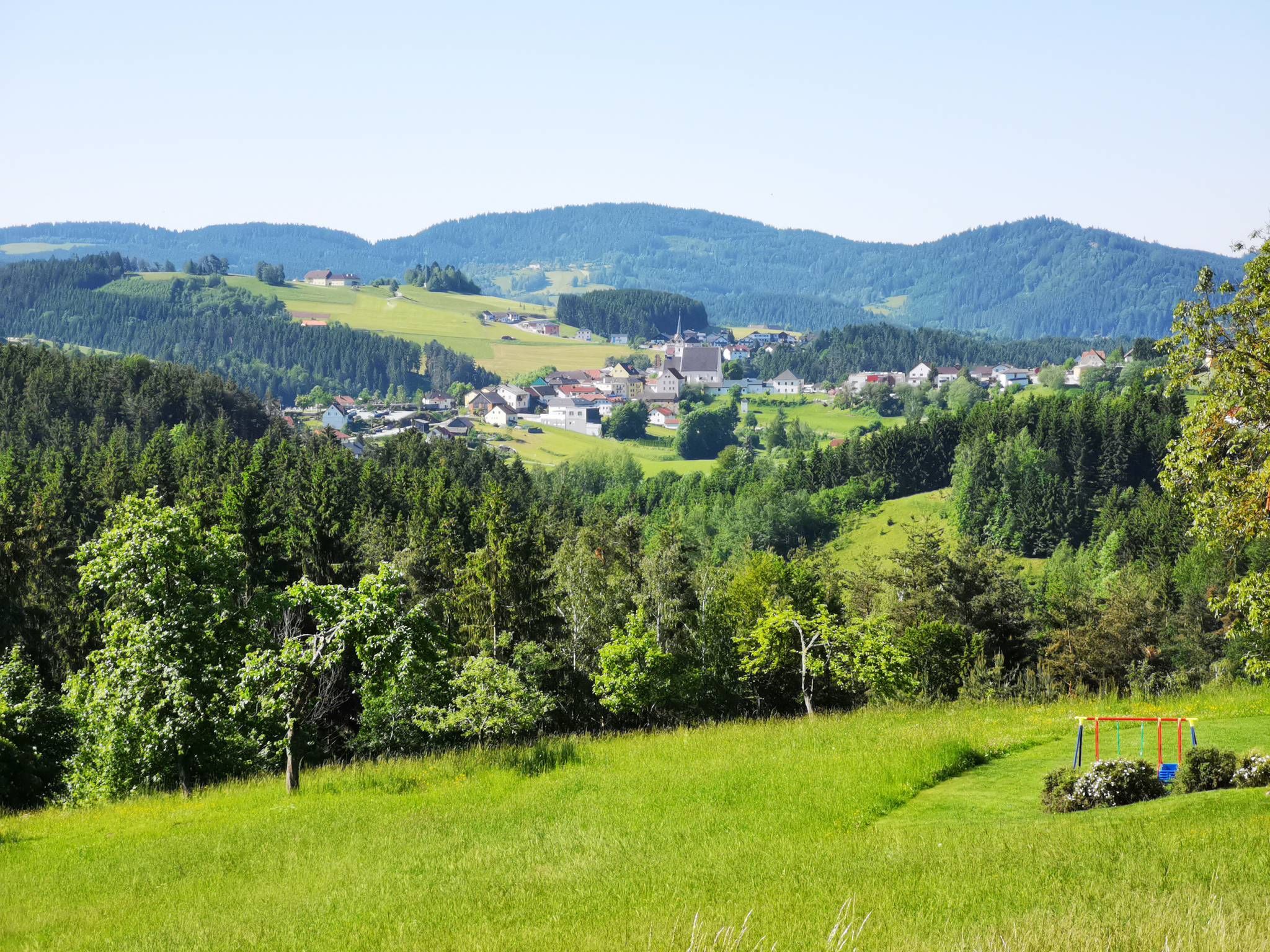
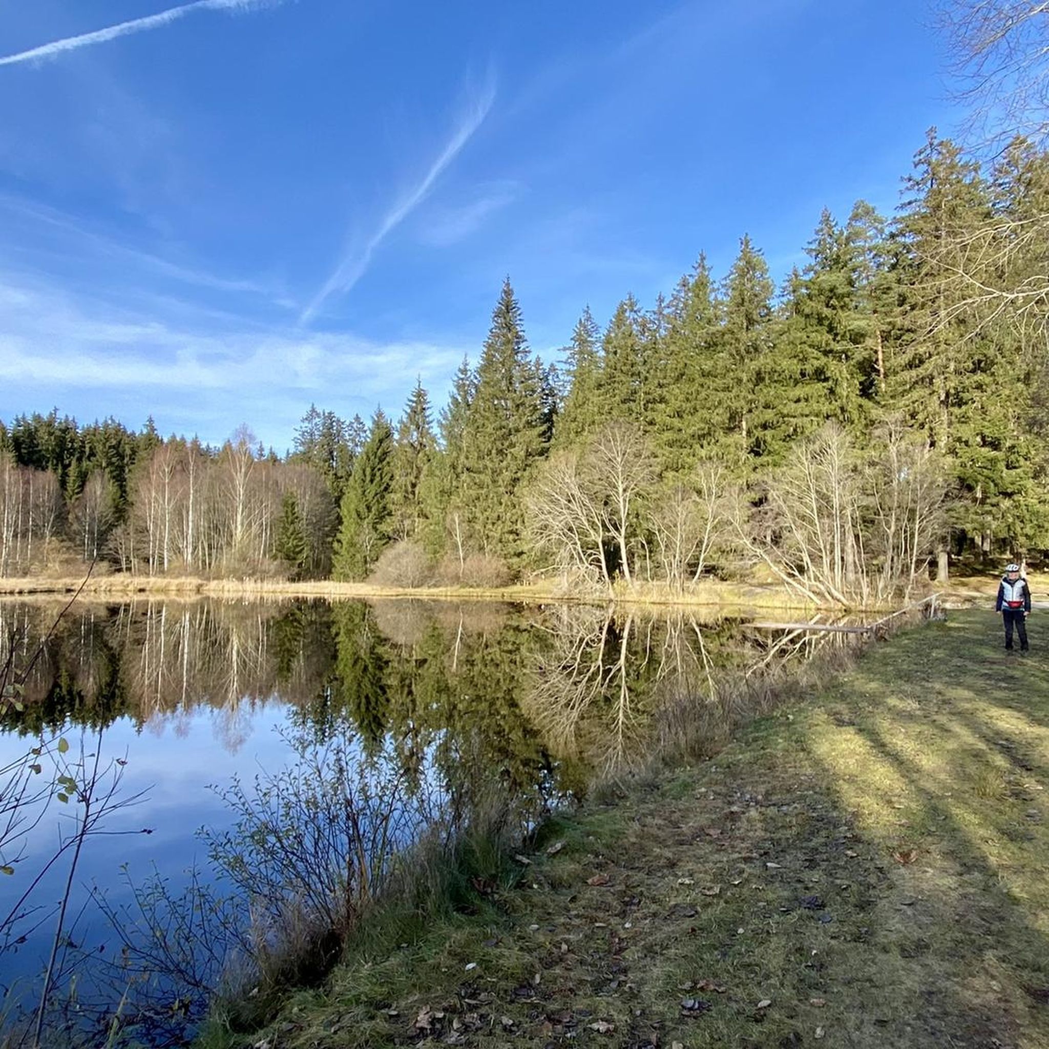
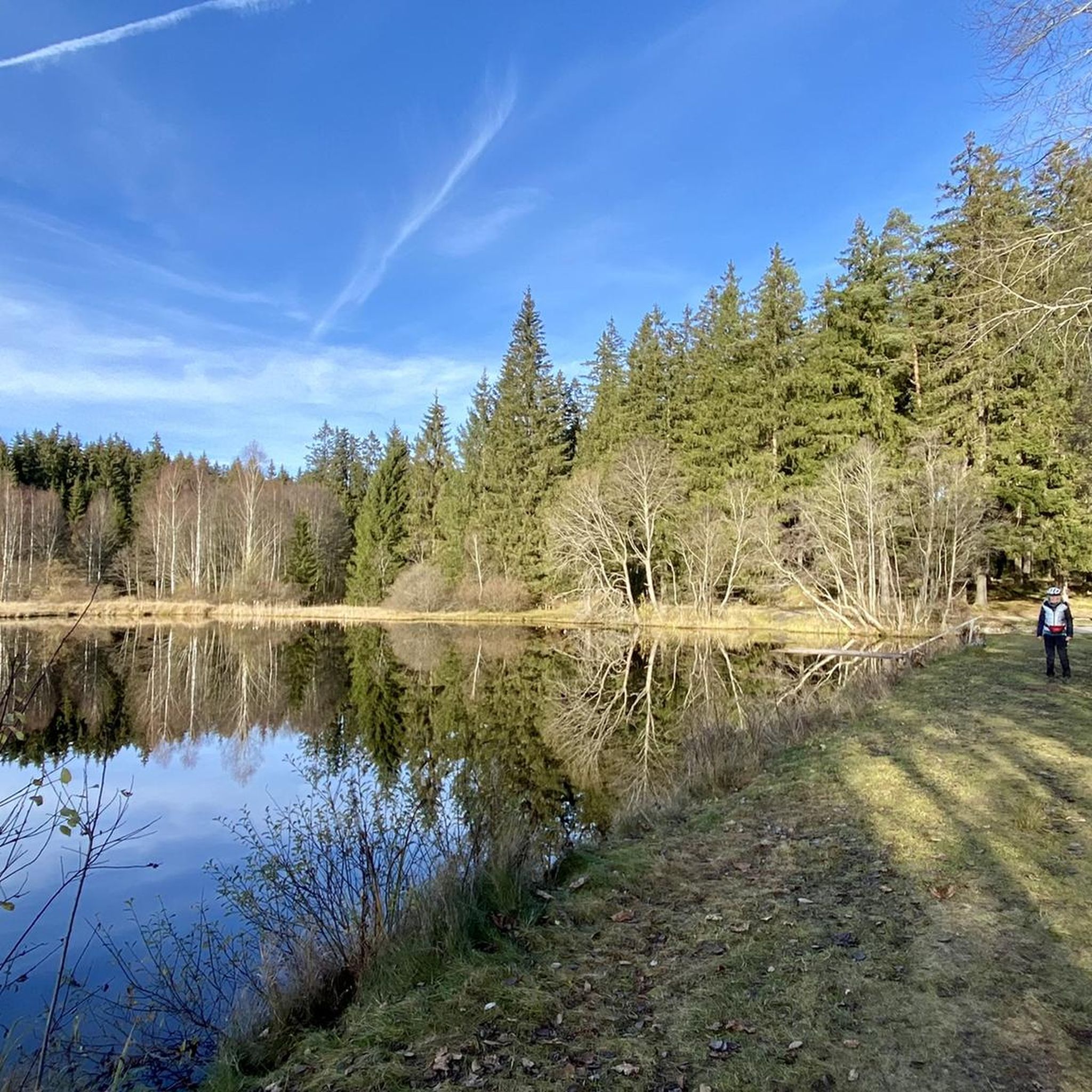
Jogging routes in Sandl offer diverse scenery, characterized by a mix of open areas, sections near bodies of water like the Oberer Rosenhofer Teich, and paths around historic estates such as Schloss Rosenhof. You'll experience gentle rolling hills and natural features throughout the region.
What do other runners say about the jogging trails in Sandl?
The running trails in Sandl are highly rated by the komoot community, with an average score of 4.4 out of 5 stars from over 60 reviews. Runners often praise the varied terrain, the scenic views, and the well-maintained paths that make for an enjoyable experience.
Are there any interesting landmarks or viewpoints along the running routes in Sandl?
Yes, the Sandl area is rich in landmarks and viewpoints. You might encounter natural monuments like the Herzogreitherfelsen or the Doomsday Stones. For panoramic views, consider routes that pass near the Hoh-Haus at Buchberg Observation Tower or the Brockenberg Summit and Observation Tower.
Are there any running routes that pass by water features in Sandl?
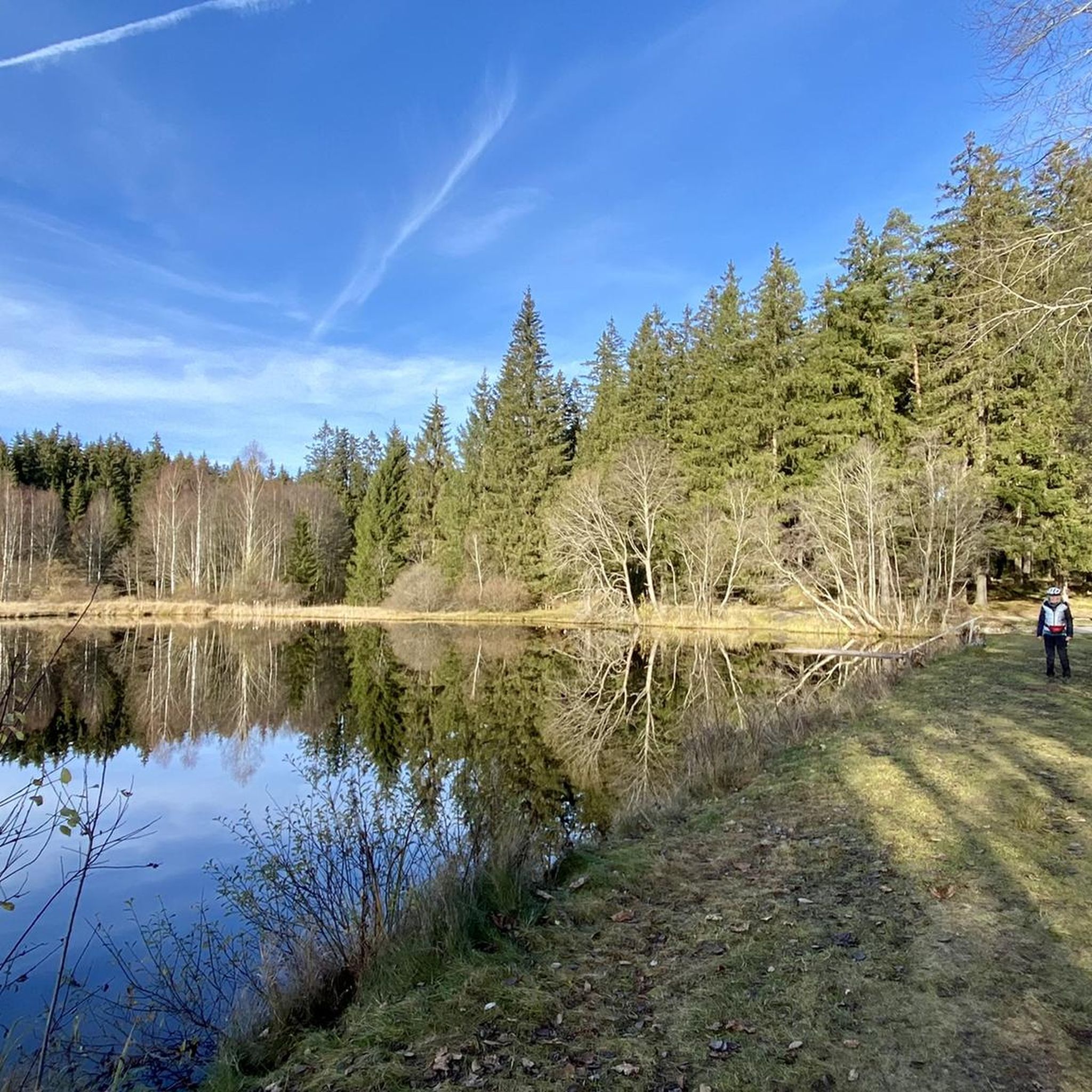
Yes, several routes incorporate water features. The Oberer Rosenhofer Teich loop from Schloss Rosenhof is a great example, leading you through parkland and directly around the Oberer Rosenhofer Teich. You might also encounter sections near the Feldaist Stream in the Thury Valley on some trails.
What is the longest jogging route available in Sandl?
Among the listed routes, the Oberer Rosenhofer Teich loop from Sandl is one of the longer options, covering approximately 8.7 kilometers (5.4 miles). This route offers a good challenge with varied terrain.
Are there any running routes starting directly from Sandl village?
Yes, you can find routes that start directly from Sandl. The Running loop from Sandl is a popular moderate path that begins in the village, offering convenient access to the local running network.
What is the typical elevation gain on jogging routes in Sandl?
The elevation gains on jogging routes in Sandl are generally moderate. For instance, the Running loop from Pürstling has an elevation gain of around 75 meters, while others like the Oberer Rosenhofer Teich loop from Sandl can have up to 146 meters. This makes the area suitable for various fitness levels without overly strenuous climbs.
Can I combine jogging with exploring historical sites in Sandl?
Absolutely. Many routes in Sandl pass by or are close to historical points of interest. For example, the Running loop from Schloss Rosenhof takes you around the historic Schloss Rosenhof, allowing you to enjoy both your run and the local heritage.
Most popular routes around Sandl
Most popular attractions around Sandl

Get inspired with the komoot mobile app


Explore more
Browse the best Running Trails & Routes in other regions.
