The best hikes from bus stations in Albula
4.6
(12336)
93,380
hikers
384
hikes
Hiking in Albula, nestled in the Grisons Alps, features a diverse landscape of high peaks, deep gorges, and picturesque mountain lakes. The region is characterized by the majestic Albula Alps, with several peaks exceeding 3,000 meters, and rivers carving dramatic gorges like the Zügenschlucht. Extensive forests, shrublands, and moorlands cover the terrain, alongside significant mountain passes such as the Albula Pass. The area also includes Switzerland's largest nature park, Parc Ela, and impressive rock formations from ancient volcanoes, offering varied…
Last updated: October 6, 2026
4.6
(82)
1,005
hikers
8.26km
02:12
90m
90m
Moderate hike. Good fitness required. Easily-accessible paths. Suitable for all skill levels.
4.7
(81)
293
hikers
12.6km
03:57
340m
340m
Moderate hike. Good fitness required. Mostly accessible paths. Sure-footedness required.

5.0
(13)
104
hikers
14.2km
05:01
1,350m
1,350m
Hard hike. Very good fitness required. Mostly accessible paths. Sure-footedness required.
4.4
(8)
80
hikers
6.91km
01:55
130m
130m
Easy hike. Great for any fitness level. Easily-accessible paths. Suitable for all skill levels.
4.6
(12)
79
hikers
4.94km
01:25
120m
120m
Easy hike. Great for any fitness level. Easily-accessible paths. Suitable for all skill levels.
Get access to more routes and recommendations from other explorers.
Already have an account?
Our route recommendations are based on thousands of hikes, rides, and runs completed by other people on komoot.
Start today with a free account
Your next adventure awaits.
Popular around Albula
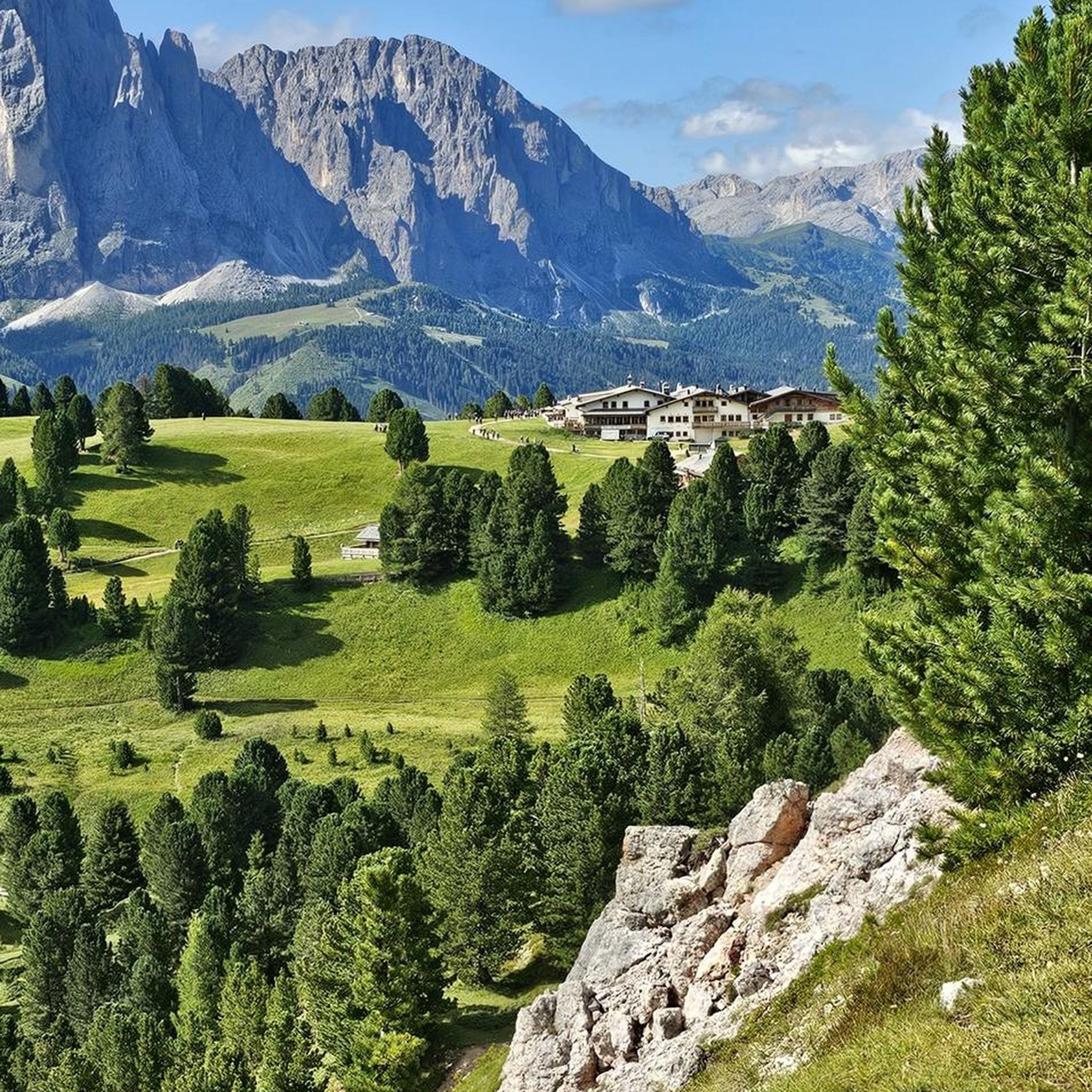
Hikes from bus stations around Parc Ela
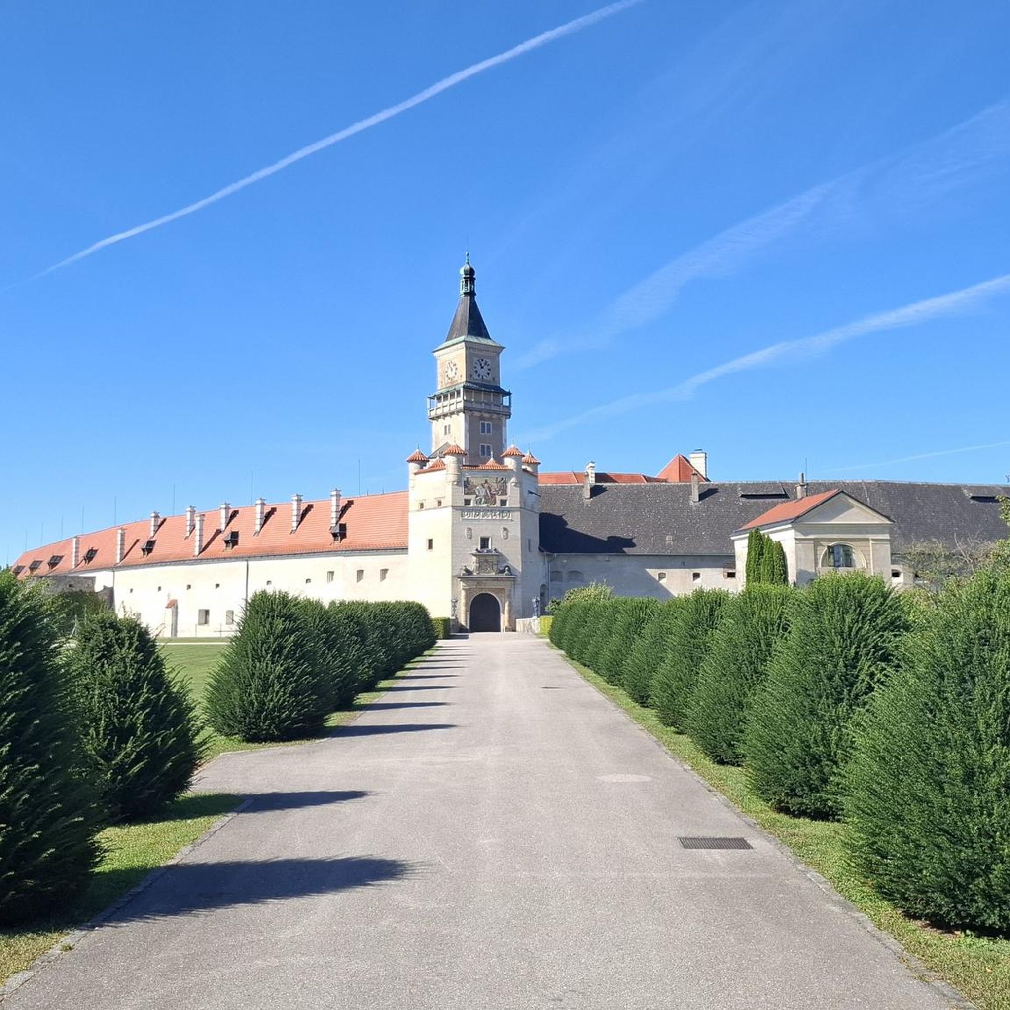
Hikes from bus stations around Heidsee
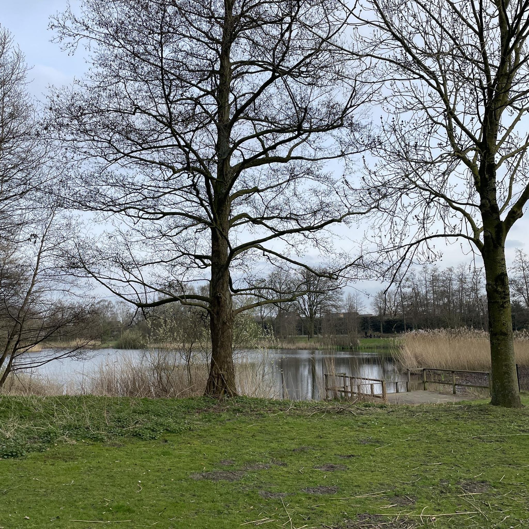
Hikes from bus stations around Solis Stausee (Albula)
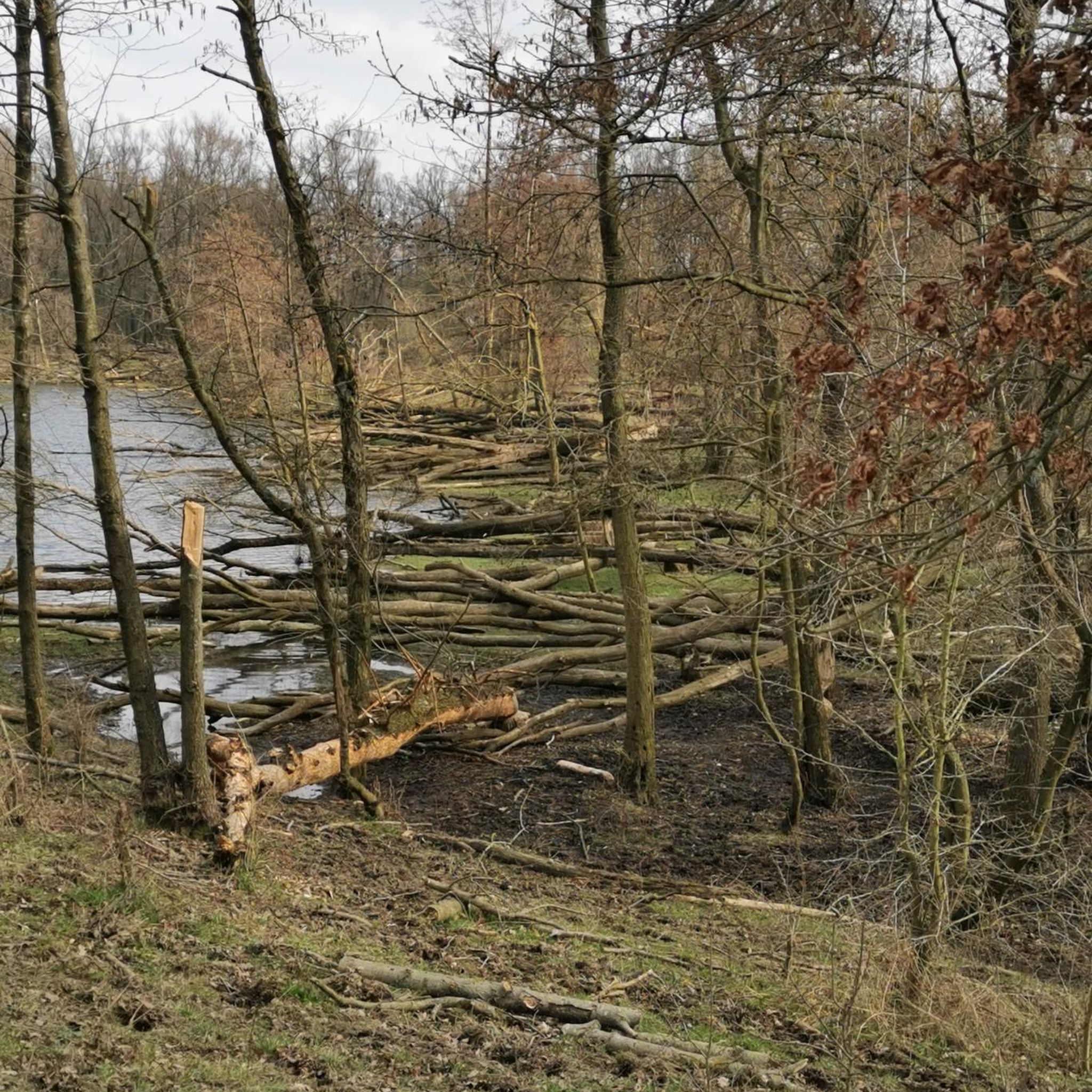
Hikes from bus stations around Lai da Marmorera

Alpine Passes Trail – hiking 700km across Switzerland
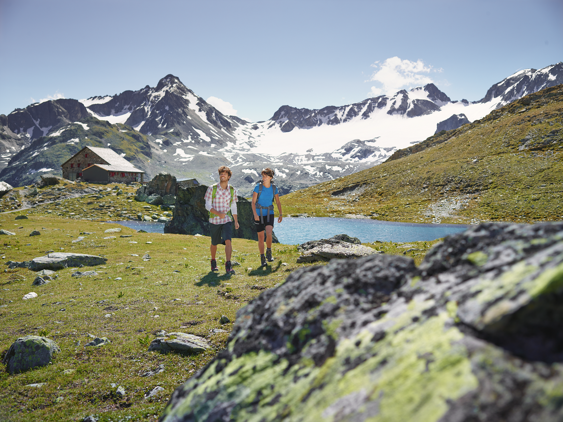
Kesch-Trek – A four-day hut adventure in Davos Klosters
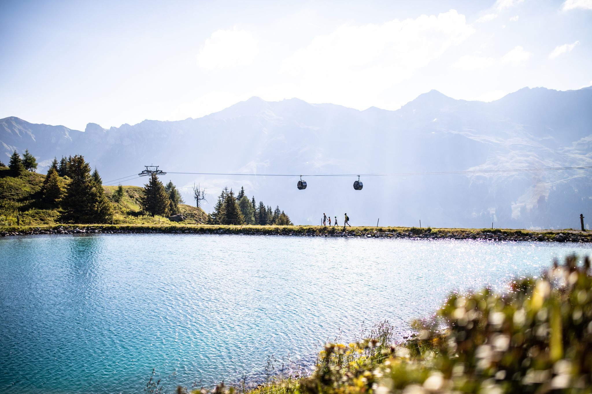
From the peaks to the cool waters – Coolcation Lenzerheide
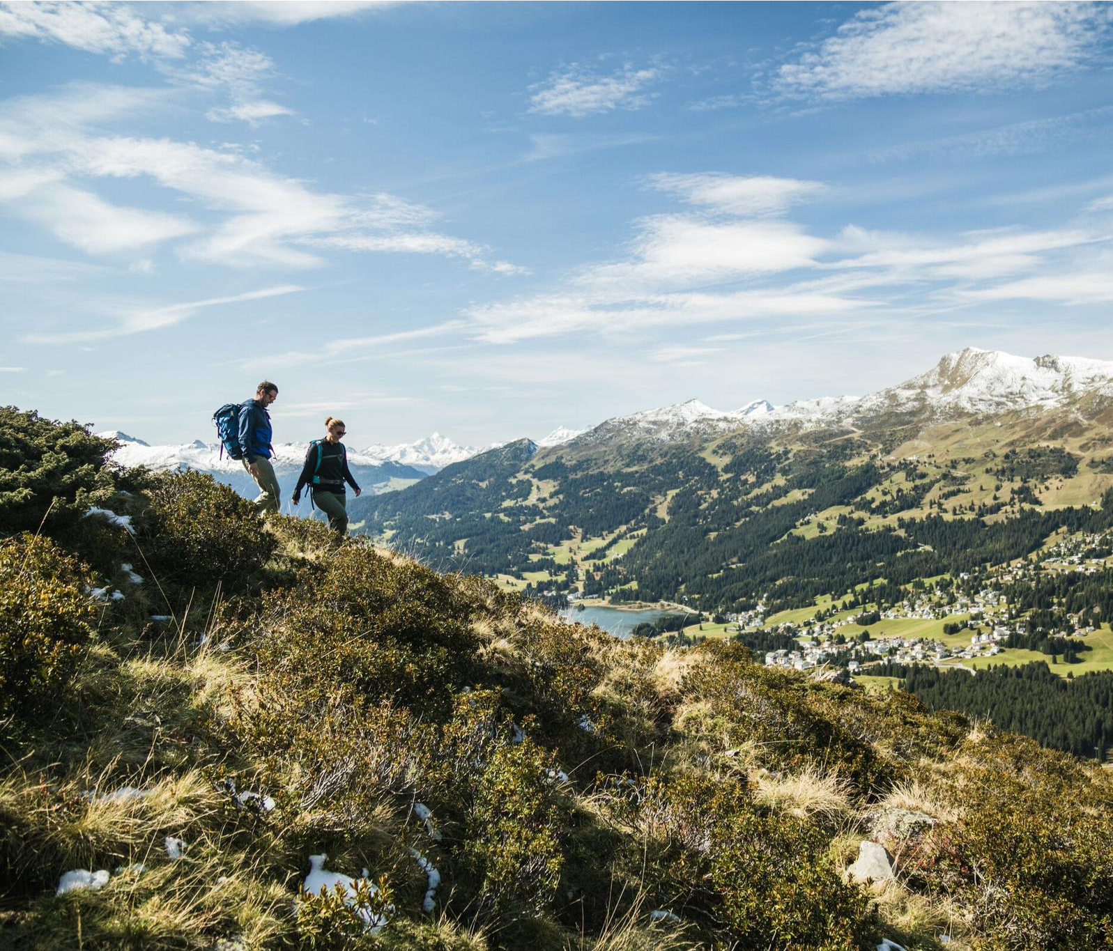
Diverse natural beauty – autumn hiking in Lenzerheide
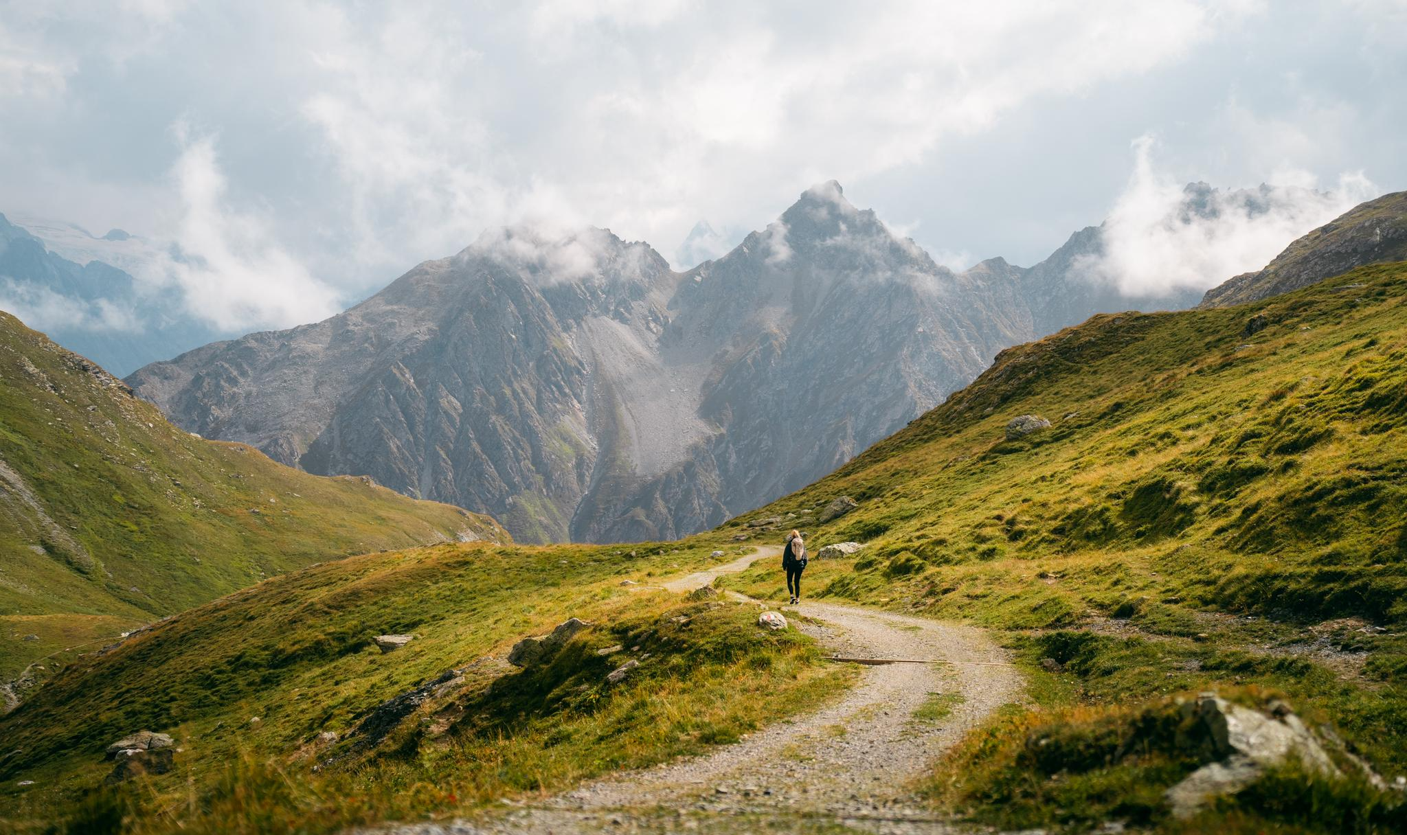
Quiet villages, proud passes, impressive history – the Via Sett
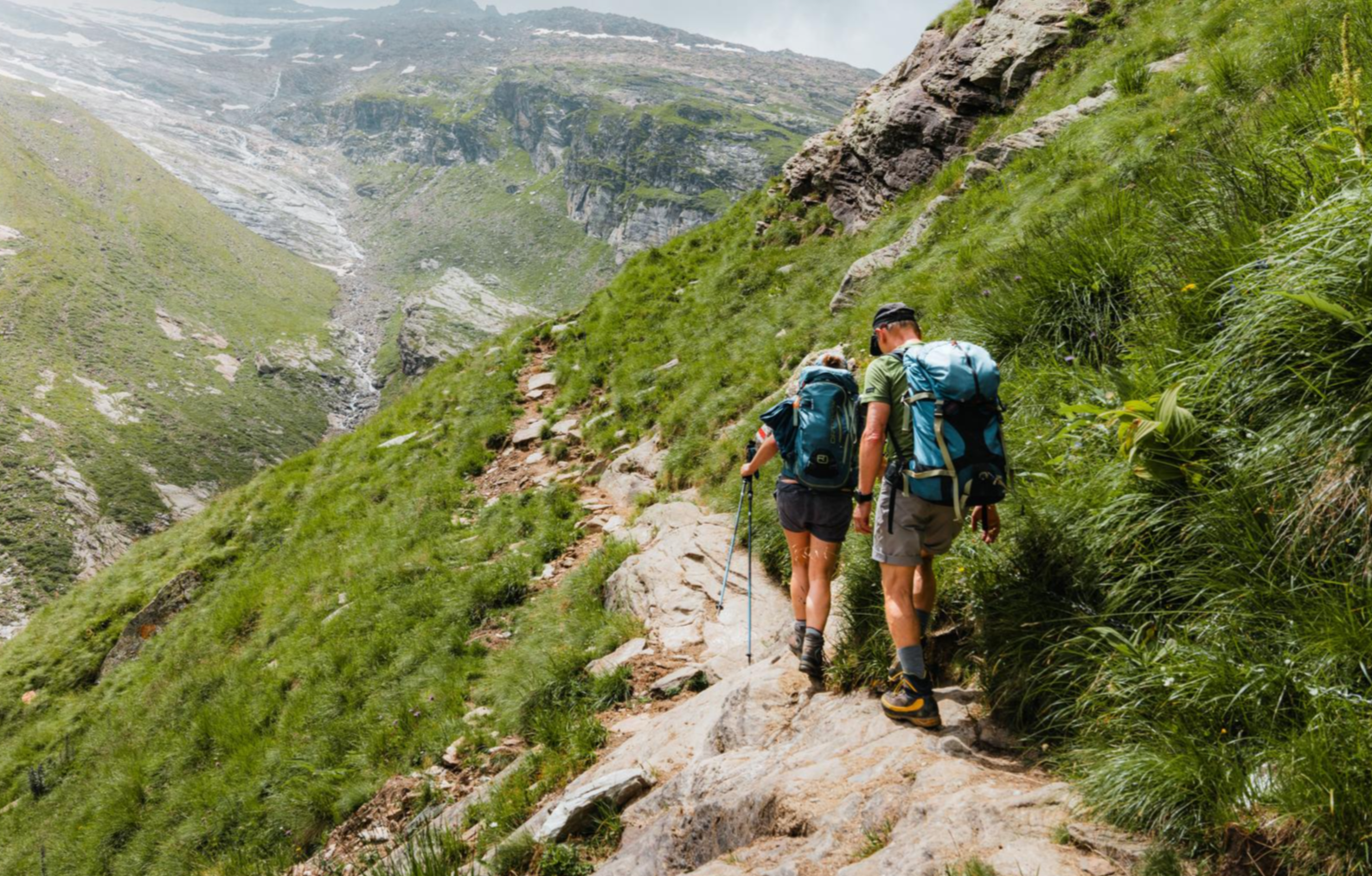
Mountain worlds and gorge magic – adventure hikes in the Viamala Region
Other adventures in Albula


Tips from the Community

The Riesen Parpaner Rothorn, Aroser Rothorn, Piz Mez and Lenzerhorn form a mighty mountain cirque up here, from whose slopes, especially in spring when the snow melts, many small rivulets flow down. At the Alp Sanaspans, they collect and form the mountain stream Aua da Sanaspans there. This stream plunges about 40 meters down over two stages at the deep rock cut, thus forming the impressive waterfall. This can be seen well from the hiking trail, but only an unsecured, unmarked game trail leads to the foot of the waterfall. Nearby there is a great barbecue area with a fixed barbecue pit, a well, and wooden tables.
0
0

not only for this view is it a super great tour
0
0

Landwasser Viaduct / Built 1901–02 The Landwasser Viaduct, built in 1901–02, is a masonry arch bridge, built in a curve, with a length of 136 m, a height of 65 m and spans of 20 m. It is one of the most elegant bridge constructions of the RhB. Text / Source: Bergün Filisur Tourismus AG Gästeinformation, Veja Stazion 11, Bergün/Bravuogn https://www.berguen-filisur.graubuenden.ch/de/landwasserviadukt
15
1
The Landwasser Viaduct of the Rhaetian Railway A must-see for all railway enthusiasts – beauty and boldness combined. With its 65m high, tapering pillars, the viaduct is one of the most elegant bridge constructions in Graubünden and the most photographed work of art of the Rhaetian Railway. The largest and at the same time most spectacular structure on the 63-kilometer-long Albula line between Thusis and St. Moritz. The Albula and Bernina lines of the Rhaetian Railway have been part of the Unesco World Heritage since mid-July 2008, and are only the third railway line worldwide to do so. The construction of the three main pillars of the viaduct in 1901/1902 was an architectural masterpiece, as they were built without scaffolding using two cranes. After 106 years, the masonry and the track trough were repaired for the first time. The natural stone viaduct made of calcdolomite is 142 meters long and leads in a sweeping curve over the wild Landwasser valley directly into a tunnel, the entrance of which is located on the vertically falling rock face. From the village of Filisur, a footpath leads in half an hour to a beautiful viewpoint from which the viaduct can be admired (and photographed). The path continues either down to the river, under the viaduct into the gorge, or at the fork in the path to the viewpoint, continuing for two hours to the Wiesenv iaduct. This can also be crossed on a footpath and thus becomes a special experience with a deep view. Text / Source: Bergün Filisur Tourismus AG, Veja Stazion 11, Bergün / Bravuogn https://www.myswitzerland.com/de-ch/erlebnisse/landwasserviadukt-der-rhb/
15
1
Landwasser Viaduct (near Filisur station) Landwasser Viaduct is a 65-meter-high and long railway bridge. Its pillars majestically rise 65 meters high: The Landwasser Viaduct on the Albula Line, which allows the Rhaetian Railway to cross the roaring Landwasser river over a length of 141.7 meters. In a large curve, the viaduct leads directly into a steep rock face. This breathtaking structure is today the most photographed subject on the Rhaetian Railway line. But the origin story of the viaduct is also amazing: The Greek-Swiss engineer Alexander Acatos (1873-1950) was entrusted with the construction of the viaduct. He was also the one who later planned the expansion of Zurich Main Station for the SBB. Under Acatos's guidance, the five limestone pillars with six semi-circular arches, each with a span of 20 meters, were built starting in March 1901. For cost reasons, a new construction technique was developed for the building: The pillars were built without external scaffolding. Instead, iron frameworks were embedded in the three longest pillars and adjusted in height with each construction progress. The three iron frameworks were connected with crossbeams, to which electric construction cranes could be mounted. These lifted the necessary building materials to the respective pillar height. To connect the stones of the pillars, a mixture of calcareous mortar and sand was used. The mortar came from a factory in Unterterzen on Lake Walen and was transported to the emerging Landwasser Viaduct via a construction railway laid on the future track with a 0.75-meter gauge. After only about one and a half years of construction, the Landwasser Viaduct was completed in October 1902. The building substance has since proven to be resilient: The Landwasser Viaduct only had to be slightly repaired in 2009. Today, the Landwasser Viaduct is still the landmark of the Rhaetian Railway and, as an imposing structure, invites passengers, tourists, and locals to take photos. Text / Source: Rhaetian Railway AG, Bahnhofstrasse 25, CH - 7001 Chur https://www.rhb.ch/de/blog/weltbekannt-der-landwasserviadukt
15
1
Landwasserviadukt „142 meters long and 65 meters high bridge piers“ The 142-meter-long Landwasserviadukt is the landmark of the Rhaetian Railway. The viaduct leads in a beautiful curve across the Landwasser Valley directly into the rugged rock face into the Landwasser Tunnel. The hallmark of the Landwasserviadukt are the six closely spaced, 65-meter-high bridge piers with a span of only 20 meters. „Built 1901–02“ Text / Source: Rhätische Bahn AG, Bahnhofstrasse 25, Chur https://tickets.rhb.ch/de/products/landwasserviadukt
15
0

Brilliant training ground for the biathletes
0
0

After the first, very steep climb, the hut is just the right place for a short break. Very friendly hosts and a great view.
0
0
Frequently Asked Questions
How many hiking trails are accessible from bus stations in Albula?
Albula offers a vast network of hiking trails directly accessible from bus stations. You can find nearly 400 routes in the region, with a good mix of difficulties: over 120 easy trails, almost 200 moderate routes, and more than 70 challenging options for experienced hikers.
Are there family-friendly hiking trails from bus stations in Albula?
Yes, Albula has many family-friendly options. Look for trails with shorter distances and minimal elevation gain. For example, the Lantsch Bual loop is an easy 5 km route perfect for a leisurely family outing, starting directly from a bus stop.
Can I find circular hiking routes starting from bus stations?
Absolutely. Many trails in Albula are designed as circular routes, allowing you to start and end your hike at the same bus station. The Lantsch Bual loop is a great example of an easy circular route.
What kind of natural attractions can I see along these bus station hikes?
Albula's bus station hikes often lead to stunning natural features. You can discover deep gorges like the Zügenschlucht, picturesque mountain lakes such as Lai da Palpuogna, and various waterfalls, including the Schaftobel Waterfall. The region is also part of Parc Ela, Switzerland's largest nature park, offering unspoiled natural beauty.
Are there any hikes that offer panoramic views?
Yes, Albula is renowned for its panoramic trails. Many routes accessible from bus stations provide magnificent vistas of the Albula Alps. Consider the easy hike To the Crap la Tretscha viewpoint for rewarding views without a strenuous climb.
Are dogs allowed on hiking trails in Albula?
Generally, dogs are welcome on hiking trails in Albula, but it's always advisable to keep them on a leash, especially in nature protection areas or near grazing livestock. Always carry water for your dog and be mindful of local regulations.
What is the best time of year to hike from bus stations in Albula?
The best time for hiking in Albula is typically from late spring to early autumn (May to October), when the weather is mild, and trails are clear of snow. During these months, you'll experience lush landscapes, blooming alpine flora, and comfortable temperatures. Some lower-altitude trails may also be accessible in winter for snowshoeing or winter hiking.
Are there any hikes that feature the UNESCO World Heritage Albula Railway?
Yes, several routes allow you to experience the impressive engineering of the Albula Railway. The Viaduct hike in Filisur is a popular moderate trail that takes you past the iconic Landwasser Viaduct, offering unique perspectives of this UNESCO World Heritage site.
What do other hikers say about the trails in Albula?
The komoot community highly rates the hiking trails in Albula, with an average score of 4.7 out of 5 stars from over 10,500 ratings. Hikers often praise the diverse landscapes, well-maintained paths, and the stunning views, especially those accessible directly from public transport.
Are there any challenging hikes accessible from bus stations for experienced hikers?
For experienced hikers seeking a challenge, Albula offers demanding routes even from bus station starting points. The difficult trail Alp Sanaspans - Rothorn, for instance, involves significant elevation gain and offers a true alpine experience.
Can I find hikes that lead to lakes or water features?
Many trails in Albula feature beautiful lakes and water features. The moderate hike Heidsee with a view of the Rothorn is a great option, offering picturesque views of Heidsee lake, perfect for a refreshing stop.
Most popular routes in Albula
Most popular attractions in Albula

Get inspired with the komoot mobile app


Didn’t find what you were looking for?
Check out more Hikes throughout Albula below and find the perfect route in your destination.
Explore more
Browse the best Hikes in other regions.
