The best road cycling routes around Parco naturale regionale di Montemarcello - Magra
4.4
(1157)
23,222
riders
288
rides
Road cycling around Parco naturale regionale di Montemarcello - Magra offers routes through varied terrain, characterized by the Magra River valley, coastal views of the Gulf of La Spezia, and ascents towards villages like Montemarcello and Fosdinovo. The region features a mix of riverine landscapes, Mediterranean vegetation, and hills that provide both gentle and challenging gradients for road cyclists. Routes often include views of the Ligurian Sea and the Apuan Alps in the distance. The natural park's geography supports a…
Last updated: October 4, 2026
4.4
(21)
385
riders
79.4km
04:14
1,460m
1,460m
Hard road ride. Very good fitness required. Mostly well-paved surfaces and easy to ride.
3.7
(7)
130
riders
Moderate road ride. Good fitness required. Mostly well-paved surfaces and easy to ride.

4.5
(4)
53
riders
49.9km
02:17
590m
590m
Moderate road ride. Good fitness required. Mostly well-paved surfaces and easy to ride.
4.4
(67)
1,269
riders
Moderate road ride. Good fitness required. Mostly well-paved surfaces and easy to ride.
4.6
(16)
463
riders
77.6km
04:09
1,390m
1,390m
Hard road ride. Very good fitness required. Mostly well-paved surfaces and easy to ride.
Get access to more routes and recommendations from other explorers.
Already have an account?
Our route recommendations are based on thousands of hikes, rides, and runs completed by other people on komoot.
Start today with a free account
Your next adventure awaits.
Popular around Parco naturale regionale di Montemarcello - Magra
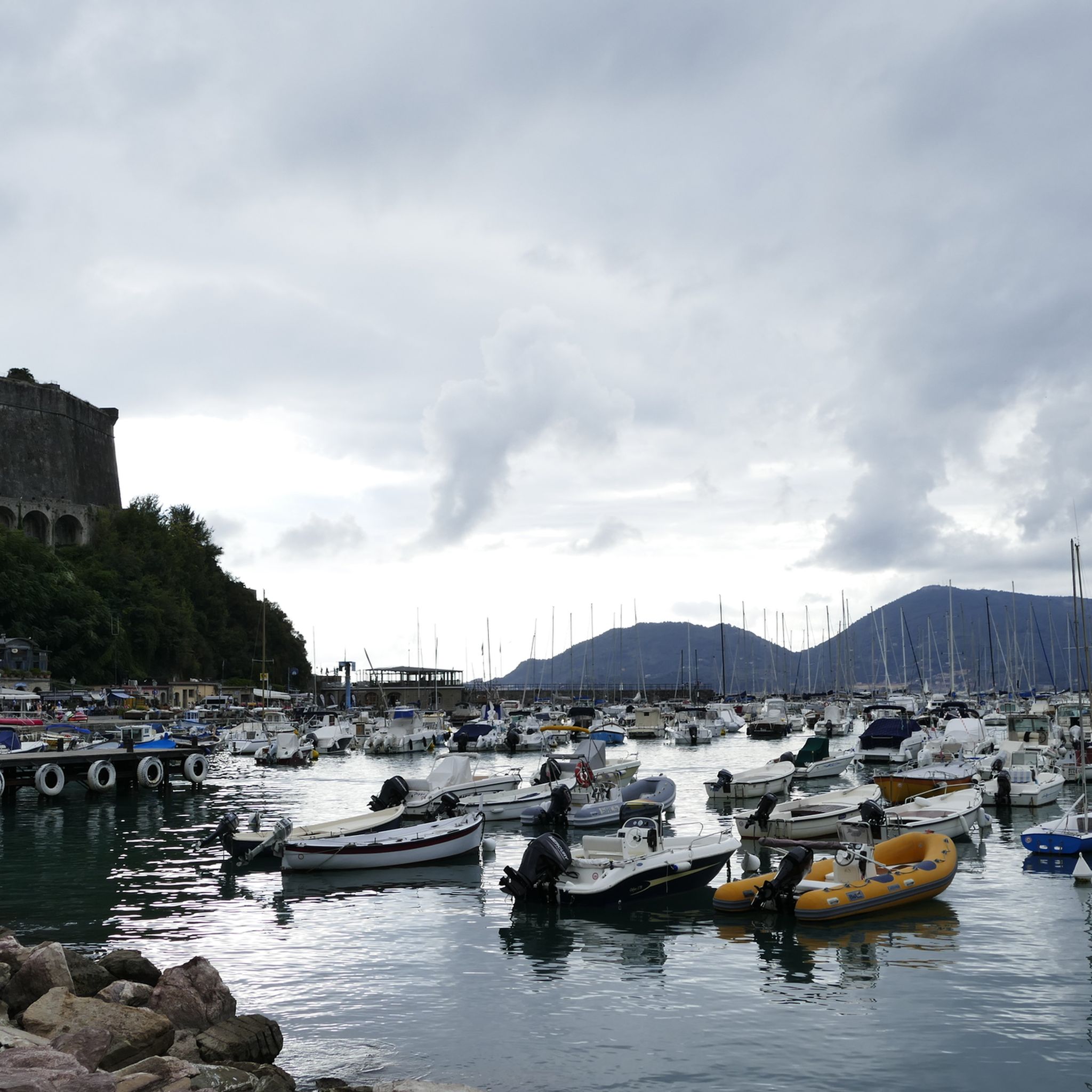
Hiking around Parco naturale regionale di Montemarcello - Magra
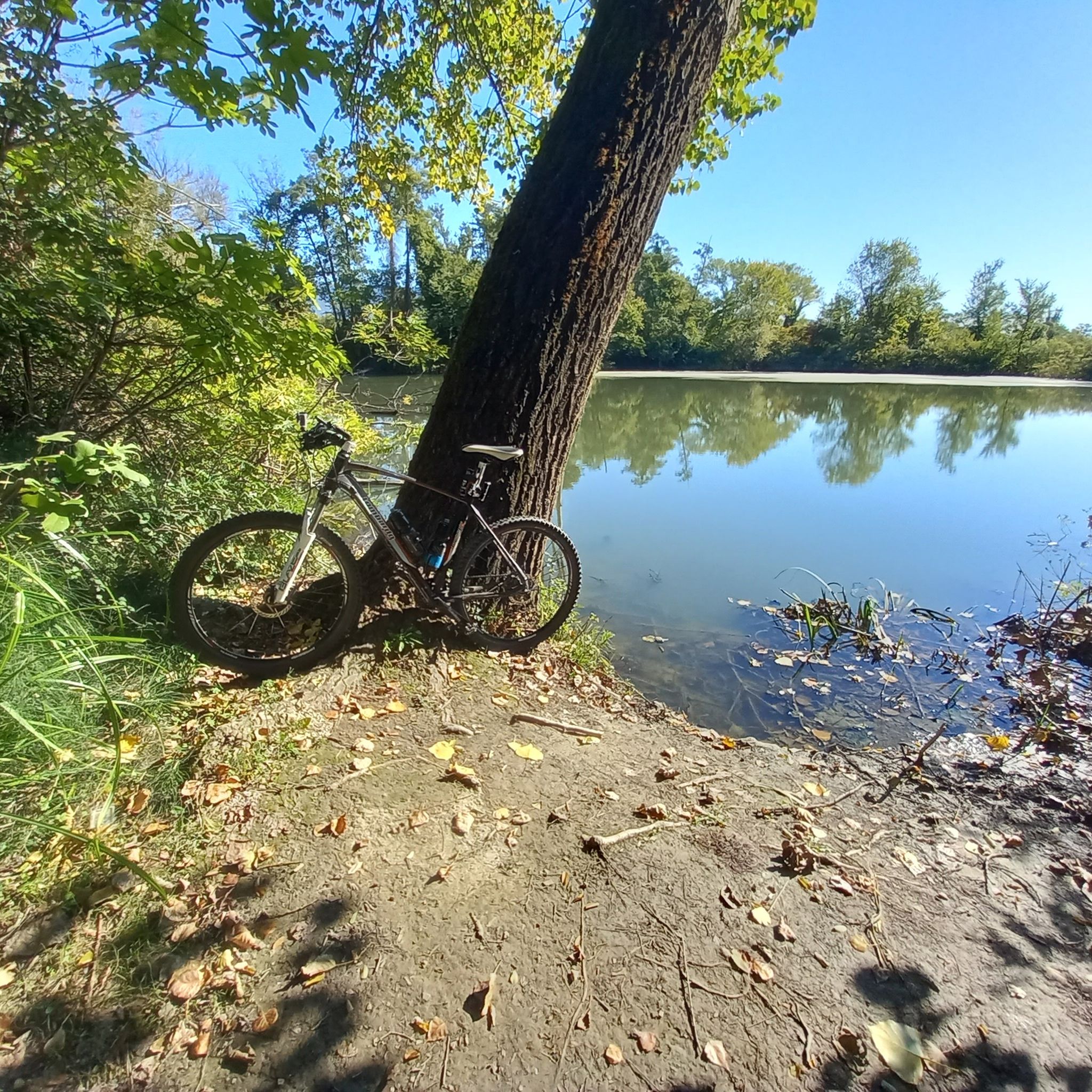
Cycling around Parco naturale regionale di Montemarcello - Magra
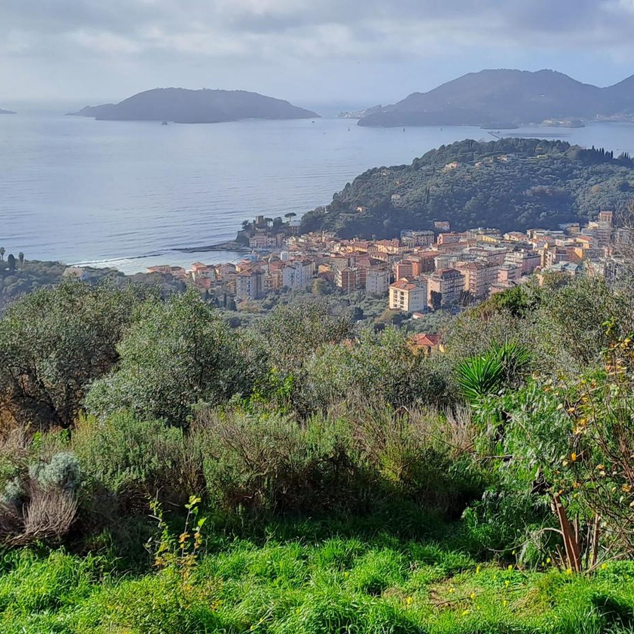
Running Trails around Parco naturale regionale di Montemarcello - Magra
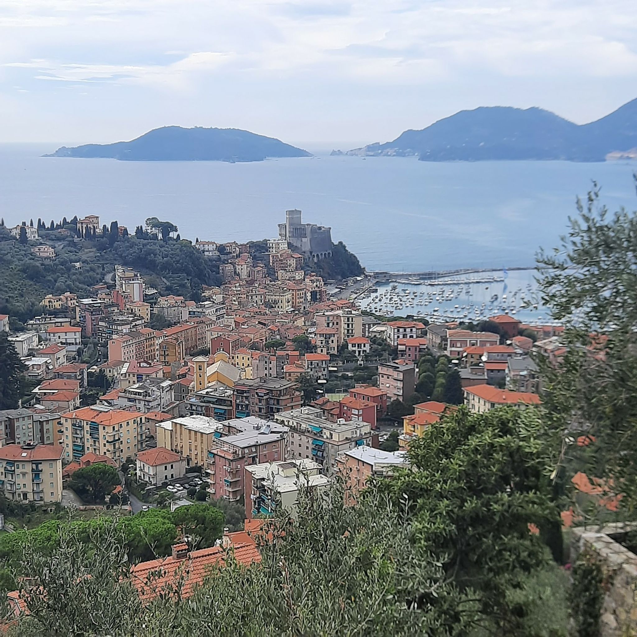
MTB Trails around Parco naturale regionale di Montemarcello - Magra
Gravel biking around Parco naturale regionale di Montemarcello - Magra
Tips from the Community

Very nice view in the morning
0
0
Very nice view in the morning
0
0

The city is located at the extreme east of the Liguria region, a few kilometers from the border with Tuscany, in the center of a deep natural gulf to which it gives its name. The gulf, also known as the Gulf of Poets for its beauty, is encircled by a continuous chain of heights whose highest peaks, Monte Verrugoli (749 m above sea level), Monte Parodi (673 m above sea level), Monte Santa Croce (543 m above sea level), and Monte Viseggi (347 m above sea level), located on the western side of the inhabited center, overlook the city of La Spezia. The municipal territory of Spezia is part of the interregional Magra river basin authority, while a small portion of the municipal territory, consisting of the small village of Tramonti and the surrounding hill, falls within the Cinque Terre National Park.
0
0
The various hamlets and villages that make up the municipality of Pignone are located in the valleys of the Pignone stream (a right tributary of the Vara river) and its tributary Casale, both minor valleys of the middle and lower Val di Vara. The territory is part of the Montemarcello-Magra-Vara Regional Natural Park.
0
0
The Cinque Terre are ancient fishing villages located along the rugged Italian coast. Each of these villages is characterized by colorful houses and vineyards clinging to the steep terraces carved into the coast. The harbors are crowded with fishing boats, and in the typical trattorias, you can try seafood specialties, as well as the famous Ligurian condiment: pesto. The Sentiero Azzurro, a hiking trail that runs along the coast, connects the Cinque Terre and offers splendid sea views.
0
0
The view of Lerici and the Gulf of La Spezia (known as the Gulf of Poets) offers one of the most enchanting panoramas in eastern Liguria, characterized by seaside villages, crystal-clear waters, and imposing fortifications overlooking the sea.
0
0
Vezzano Ligure, Vessan in Ligurian, V'zan in the Lunigiana dialect is an Italian municipality of 7,238 inhabitants in the province of La Spezia in Liguria.
0
0
Passo della Mola (or Valico della Mola) is a mountain pass at an altitude of approximately 650-655 meters, located in Liguria, between the province of La Spezia and the metropolitan city of Genoa. It connects the coastal area to the Val di Vara (municipality of Carro). Main characteristics Altitude: 650 - 655 m a.s.l. Location: Connects the area of Carro and Velva, serving as an alternative to the better-known Passo del Bracco. Road: It is traversed via the Provincial Road 50 (SP50). The road has a narrow carriageway, generally moderate gradients, but with several curves and tight hairpin bends. Panorama: On clear days, it offers a view stretching from the Maritime Alps to the Apuan Alps.
0
0
Frequently Asked Questions
How many road cycling routes are available in Parco naturale regionale di Montemarcello - Magra?
There are over 290 road cycling routes in Parco naturale regionale di Montemarcello - Magra, catering to various skill levels. This includes 37 easy routes, 140 moderate routes, and 113 difficult routes.
What kind of terrain can I expect on road cycling routes around Parco naturale regionale di Montemarcello - Magra?
The region offers diverse terrain, characterized by the Magra River valley, scenic coastal views of the Gulf of La Spezia, and ascents towards charming villages like Montemarcello and Fosdinovo. You'll find a mix of riverine landscapes, Mediterranean vegetation, and hills providing both gentle and challenging gradients.
Are there any beginner-friendly road cycling routes in the area?
Yes, there are 37 easy road cycling routes suitable for beginners. These routes often follow riverside paths along the Magra River, offering a more relaxed experience. One such route is the Bridge over the Magra River – Montemarcello Village loop from Montemarcello, which is a moderate route but offers manageable sections.
Where can I find challenging road cycling routes with significant climbs?
For advanced cyclists seeking a challenge, there are 113 difficult routes. These often involve significant climbs into the hills surrounding the park, offering rewarding views. An example is the Passo del Cerreto – Lago Cerretano (Cerreto Laghi) loop from Arcola, which features substantial elevation gain.
What are some popular starting points for road cycling in Parco naturale regionale di Montemarcello - Magra?
Common starting points include Montemarcello, Fiumaretta, Arcola, and Santo Stefano di Magra. These locations provide access to various routes that explore both the river valley and coastal areas, as well as climbs into the hinterland.
Are there circular road cycling routes available?
Yes, many routes in the region are designed as loops, allowing you to start and end in the same location. Examples include the Bridge over the Magra River – View of Lerici and the Gulf of La Spezia loop from Fiumaretta and the Bridge over the Magra River – Climb to Fosdinovo loop from Santo Stefano di Magra.
What can I see along the road cycling routes in terms of natural beauty or landmarks?
Road cycling routes often provide views of the Ligurian Sea, the Gulf of La Spezia, and the Apuan Alps in the distance. You might also pass through historic villages like Montemarcello and Fosdinovo. Notable natural attractions include Punta Corvo Beach and the The Golden Butterfly Megalithic Site. The beautiful coast road between Lerici and Montemarcello is also a highlight.
What do other road cyclists enjoy most about cycling in Parco naturale regionale di Montemarcello - Magra?
The area is highly rated by the komoot community, with an average score of 4.5 stars from over 850 reviews. Reviewers often praise the varied terrain, combining river valleys with coastal panoramas and challenging hills, as well as the scenic beauty of the Ligurian Sea and the Apuan Alps.
What is the best time of year for road cycling in this region?
The mild Mediterranean climate makes spring and autumn ideal for road cycling, with pleasant temperatures and less crowded routes. Summer can be quite warm, especially in the middle of the day, while winter offers cooler, but often still rideable, conditions.
Are there routes that offer scenic viewpoints?
Absolutely. Many routes are designed to showcase the region's beauty. For instance, the Bridge over the Magra River – View of Lerici and the Gulf of La Spezia loop from Fiumaretta offers stunning vistas of Lerici and the Gulf of La Spezia, combining river and coastal landscapes.
How long do road cycling routes typically take to complete?
Route durations vary significantly based on distance and elevation. Shorter, moderate routes like the Bridge over the Magra River – Montemarcello Village loop from Montemarcello (46.3 km) can take around 2 hours, while longer, more difficult routes such as the Passo del Cerreto – Lago Cerretano (Cerreto Laghi) loop from Arcola (106.2 km) can take over 5 hours.
Most popular routes around Parco naturale regionale di Montemarcello - Magra
Most popular attractions around Parco naturale regionale di Montemarcello - Magra

Get inspired with the komoot mobile app


Explore more
Browse the best Road cycling routes in other regions.
