The best cycling routes around Castelsaraceno
4.4
(9)
120
riders
24
rides
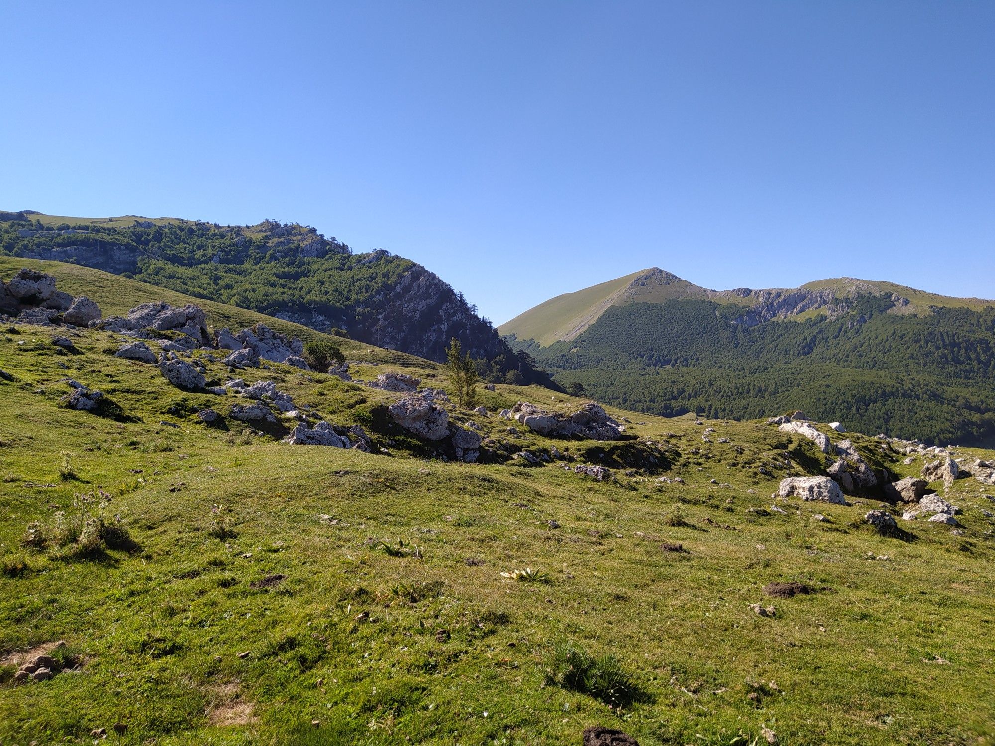
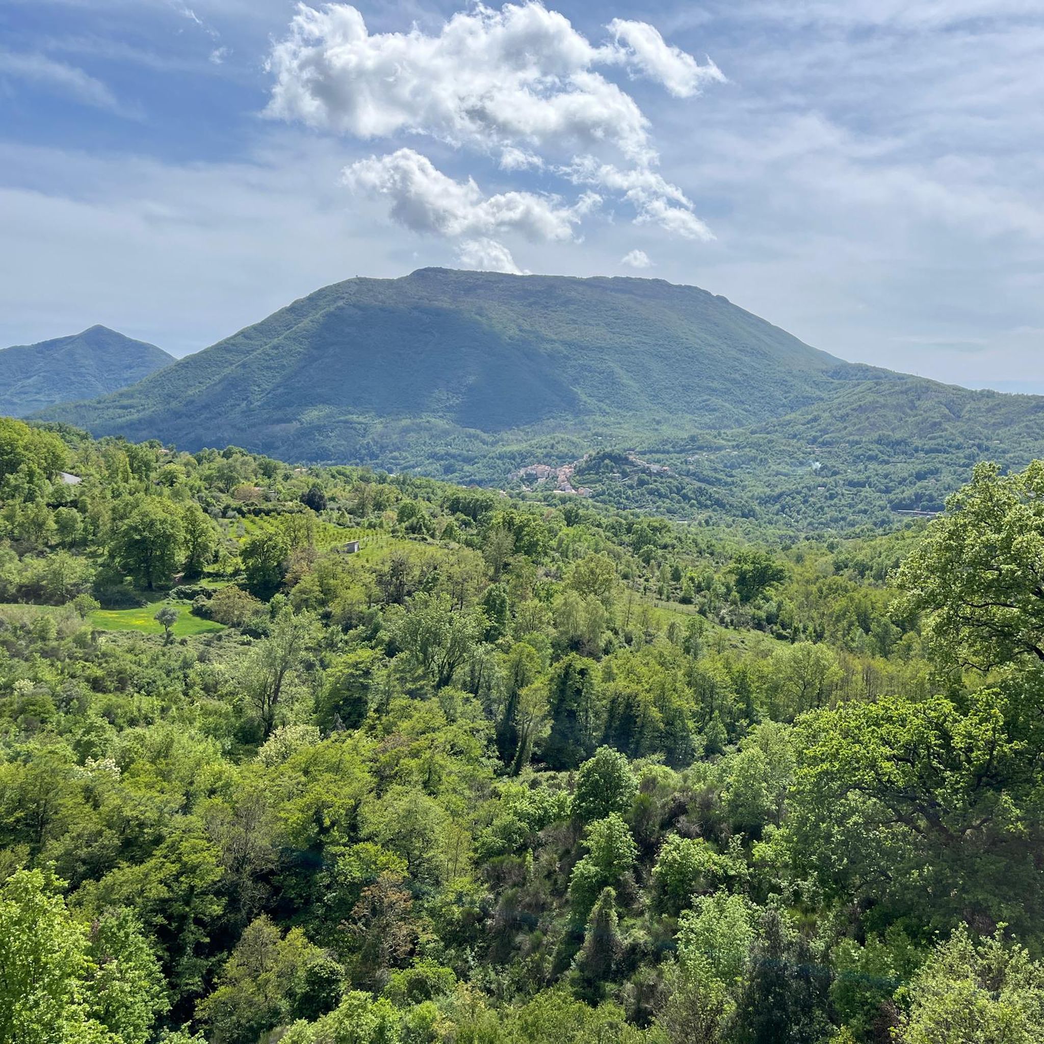
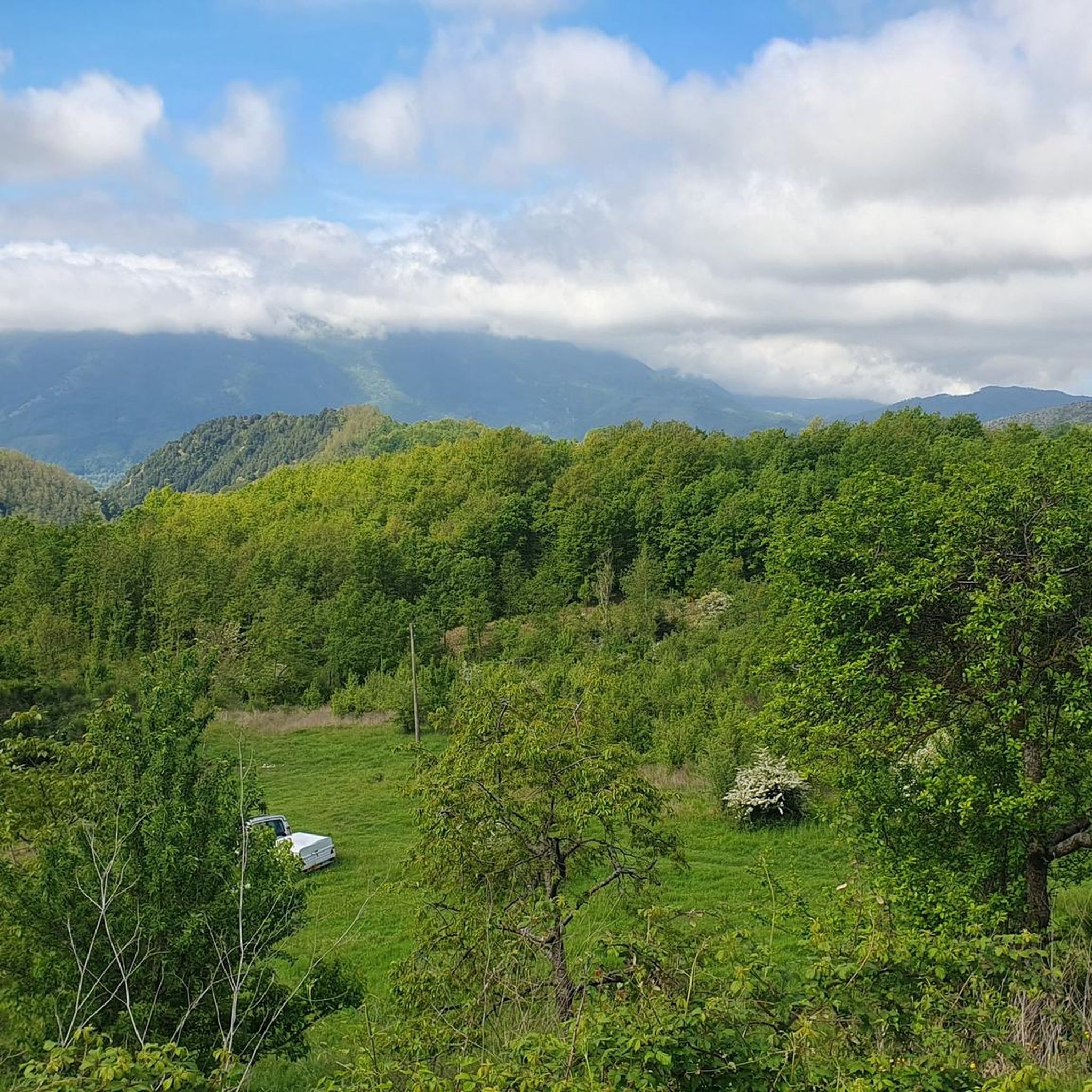
Touring cycling routes around Castelsaraceno are set within the diverse landscapes of Basilicata, nestled between the Pollino National Park and the Appennino Lucano-Val d'Agri-Lagonegrese National Park. The region features a mix of lush green forests, including the UNESCO World Heritage site Bosco Favino, and varied terrain with both asphalt and dirt paths. Cyclists can explore areas with significant natural features such as Mount Raparo and the Monte Alpi Geosite, offering routes with varying elevations.
Best touring cycling routes around Castelsaraceno
…Last updated: July 8, 2026
3.0
(1)
17
riders
41.6km
03:19
1,070m
1,060m
Hard bike ride. Very good fitness required. Mostly paved surfaces. Suitable for all skill levels.
5.0
(1)
16
riders
54.3km
03:42
940m
940m
Hard bike ride. Very good fitness required. Mostly paved surfaces. Suitable for all skill levels.

Sign up for free
13
riders
18.9km
01:22
420m
420m
Moderate bike ride. Good fitness required. Mostly paved surfaces. Suitable for all skill levels.
9
riders
11.1km
00:48
250m
250m
Moderate bike ride. Good fitness required. Mostly paved surfaces. Suitable for all skill levels.
7
riders
35.3km
02:37
860m
860m
Hard bike ride. Very good fitness required. Mostly paved surfaces. Suitable for all skill levels.
Get access to more routes and recommendations from other explorers.
Sign up for free
Already have an account?
Our route recommendations are based on thousands of hikes, rides, and runs completed by other people on komoot.
Start today with a free account
Your next adventure awaits.
Login or Signup
Other adventures around Castelsaraceno

Tips from the Community


The Iron Bridge of the old Lauria railway, located near the Lauria Alta cemetery, owes its name to its proximity to this site. This metal bridge is a historical reminder of the passage of the Lagonegro-Spezzano Albanese railway, which bypassed the town of Lauria Alta with impressive engineering structures, such as viaducts and tunnels. Today, the bridge is part of the cycle/pedestrian path that follows the old railway line, representing a strong link between the local industrial heritage and the surrounding natural landscape, offering a fascinating perspective on the history and memory of the area.
0
0
The old Lauria station is part of the historic Lagonegro-Spezzano Albanese narrow-gauge line, inaugurated in sections between 1915 and 1931 and operating until the 1970s. This branch of the railway crossed the picturesque landscapes of southwestern Basilicata, connecting small villages and navigating challenging terrain with rack railway sections and numerous viaducts.
0
0


One of the few illuminated tunnels along the Lagonegro-Rotonda cycle path and is located in the municipality of Lauria, with a splendid view from the adjacent iron bridge.
0
0
One of the tunnels that pass through along the Lagonegro-Rotonda cycle path, a cycle path recovered from the old narrow-gauge Calabro-Lucana railway that was decommissioned at the end of the 1970s.
0
0
Splendid place immersed in the Lucanian Appennine Park Val d'Agri Lagonegrese which offers many possibilities for refreshment and overnight stay in the surrounding facilities.
0
0
Frequently Asked Questions
Are there touring cycling routes suitable for beginners in Castelsaraceno?
Yes, while many of the 19 touring cycling routes around Castelsaraceno are considered difficult, there is at least one easy route available. For instance, the Parco Archeologico di Grumentum — ring tour is an easy 8.4-mile (13.5 km) path with minimal elevation changes, perfect for a relaxed ride.
What kind of landscapes can I expect to see while cycling around Castelsaraceno?
Cycling around Castelsaraceno offers incredibly diverse landscapes. You'll traverse lush green forests, including the UNESCO World Heritage site Bosco Favino, and varied terrain with both asphalt and dirt paths. The region is nestled between the Pollino National Park and the Appennino Lucano-Val d'Agri-Lagonegrese National Park, providing views of significant natural features like Mount Raparo and the Monte Alpi Geosite.
What are some notable landmarks or viewpoints along the touring cycling routes?
The routes offer numerous scenic viewpoints and natural landmarks. You can spot majestic peaks like Monte Raparo Summit and Monte Santa Croce Summit. The area is also famous for the world's longest Tibetan Bridge, offering breathtaking panoramic views of the surrounding natural environment, including prairies and gullies.
Are there any circular touring cycling routes in the Castelsaraceno area?
Yes, many of the touring cycling routes around Castelsaraceno are designed as loops, allowing you to start and end in the same location. An example is the challenging Galleria della Rosa – Lake Sirino loop from Castelsaraceno, which covers over 54 km.
What is the best time of year to go touring cycling in Castelsaraceno?
The climate in Castelsaraceno is considered ideal for cycling, making it enjoyable for much of the year. Spring and autumn generally offer the most pleasant temperatures for touring, avoiding the peak heat of summer and the colder conditions of winter, especially at higher elevations.
What do other touring cyclists enjoy most about cycling in Castelsaraceno?
The touring cycling routes around Castelsaraceno are highly rated by the komoot community, with an average score of 4.3 stars. Cyclists often praise the stunning national park landscapes, the dense beech forests, and the variety of routes that cater to different ability levels, from easy loops to challenging mountain ascents.
Are there any family-friendly touring cycling options in Castelsaraceno?
For families or those seeking a less strenuous ride, the easy Parco Archeologico di Grumentum — ring tour is an excellent choice. It allows you to explore the archaeological park with minimal elevation changes, making it suitable for a leisurely family outing.
Can I find amenities like cafes or restaurants near the cycling routes?
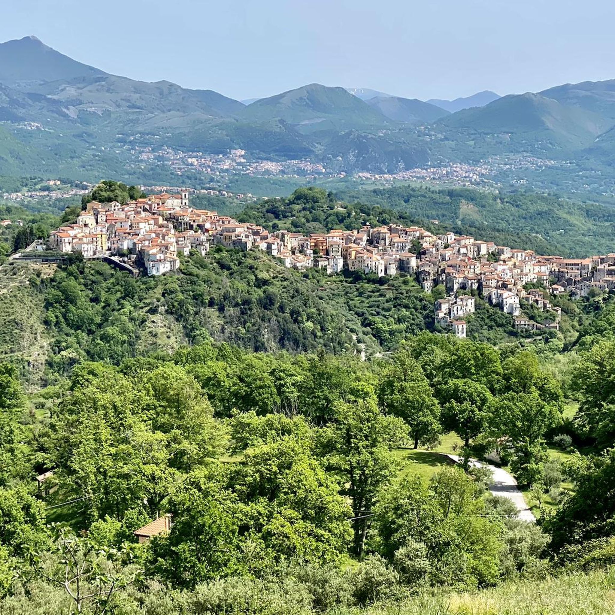
While specific cafes directly on every route are not detailed, Castelsaraceno itself and nearby towns offer various amenities. The region is equipped for visitors, and you can find places to eat and stay in the main villages. For more information on local experiences and services, you might find resources on visitcastelsaraceno.info helpful.
Are there any routes that pass by lakes or water features?
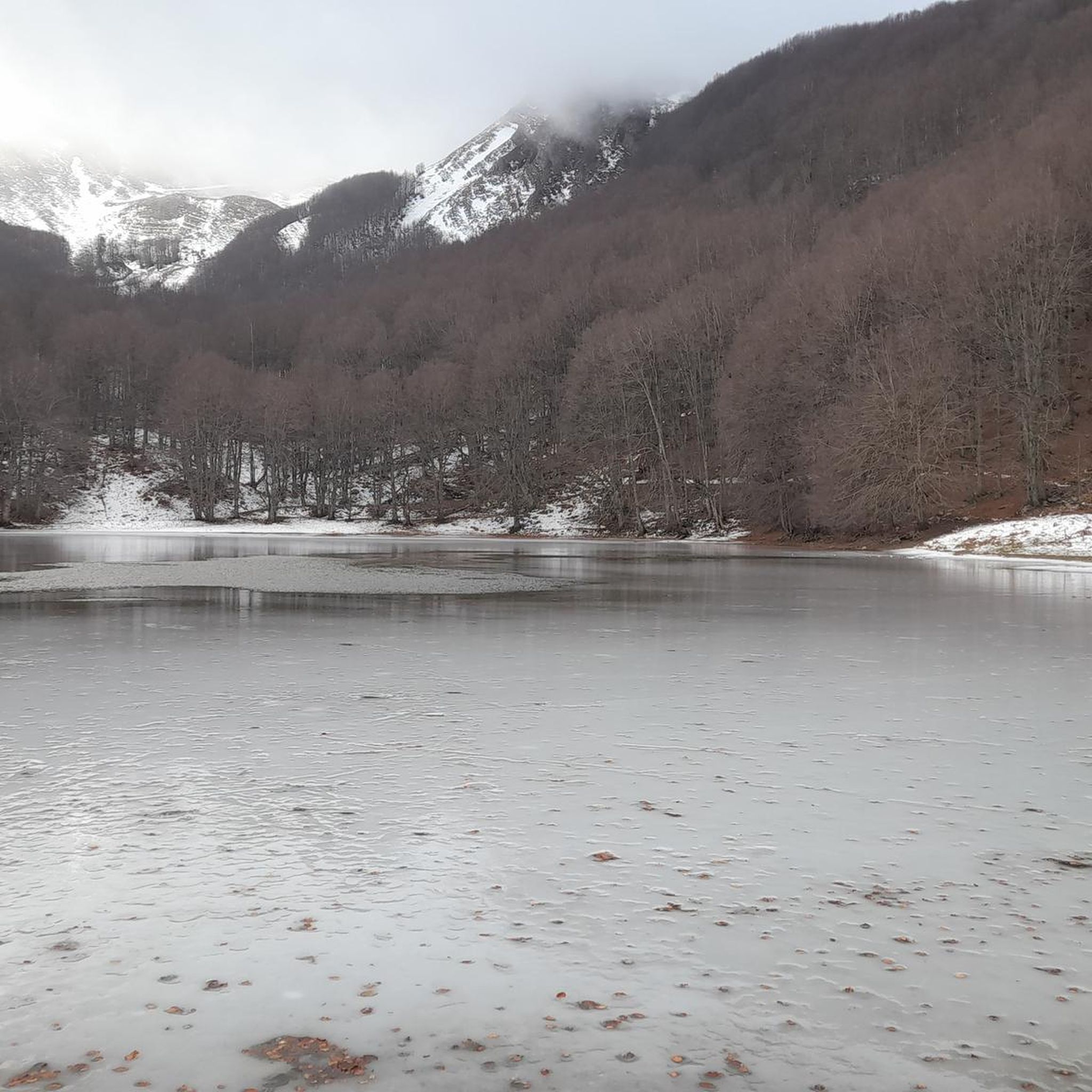
Yes, some routes incorporate beautiful water features. For example, the challenging Lake Pertusillo and Grumentum Loop takes you past Lake Pertusillo. Additionally, you can find natural monuments like Lago Laudemio in the wider area.
How many touring cycling routes are available in the Castelsaraceno area?
There are 19 touring cycling routes documented around Castelsaraceno, offering a wide range of experiences from easy loops to very challenging mountain ascents. These routes have been explored by over 100 touring cyclists using komoot.
What are some of the more challenging touring cycling routes in the region?
The majority of touring cycling routes in Castelsaraceno are classified as difficult, featuring substantial elevation gains. Examples include the Level crossing – Former Lauria station loop from Invaso di Cogliandrino, which has over 1000 meters of elevation gain, and the Malboschetto Fountain loop from Calda, with over 800 meters of ascent.
Most popular attractions around Castelsaraceno

Get inspired with the komoot mobile app


Explore more
Browse the best Cycling routes in other regions.
