The best running trails around Castelsaraceno
27
runners
6
runs
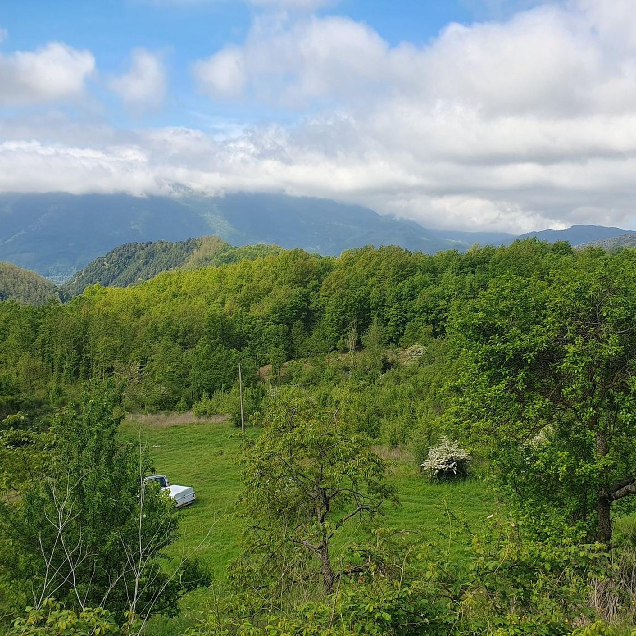
Jogging around Castelsaraceno offers access to diverse natural environments nestled between the Pollino National Park and the Appennino Lucano Val d'Agri Lagonegrese National Park. The region features mountainous terrain, dense forests, and valleys, providing varied landscapes for running. Paths lead through meadows and beech forests, with some trails offering significant elevation changes. This geographical position ensures a range of jogging experiences within a pristine natural setting.
Best jogging routes around Castelsaraceno
- The most popular jogging route is Monte Alpi Loop…
Last updated: July 7, 2026
7
runners
9.23km
02:00
740m
740m
This difficult 5.7-mile loop in Pollino National Park offers experienced trail runners panoramic views from Pizzo Falcone summit.
10.3km
01:43
670m
660m
Sentiero Italia - Stage T06 is a difficult 6.4-mile (10.3 km) jogging route with 2186 feet (666 metres) of elevation gain in Basilicata.

Sign up for free
6
runners
11.2km
01:14
250m
250m
Moderate run. Good fitness required. Mostly paved surfaces. Suitable for all skill levels.
5
runners
10.1km
01:06
220m
230m
Moderate run. Good fitness required. Mostly paved surfaces. Suitable for all skill levels.
5
runners
7.55km
01:37
600m
600m
Hard run. Very good fitness required. Sure-footedness, sturdy shoes and alpine experience required.
Our route recommendations are based on thousands of hikes, rides, and runs completed by other people on komoot.
Start today with a free account
Your next adventure awaits.
Login or Signup
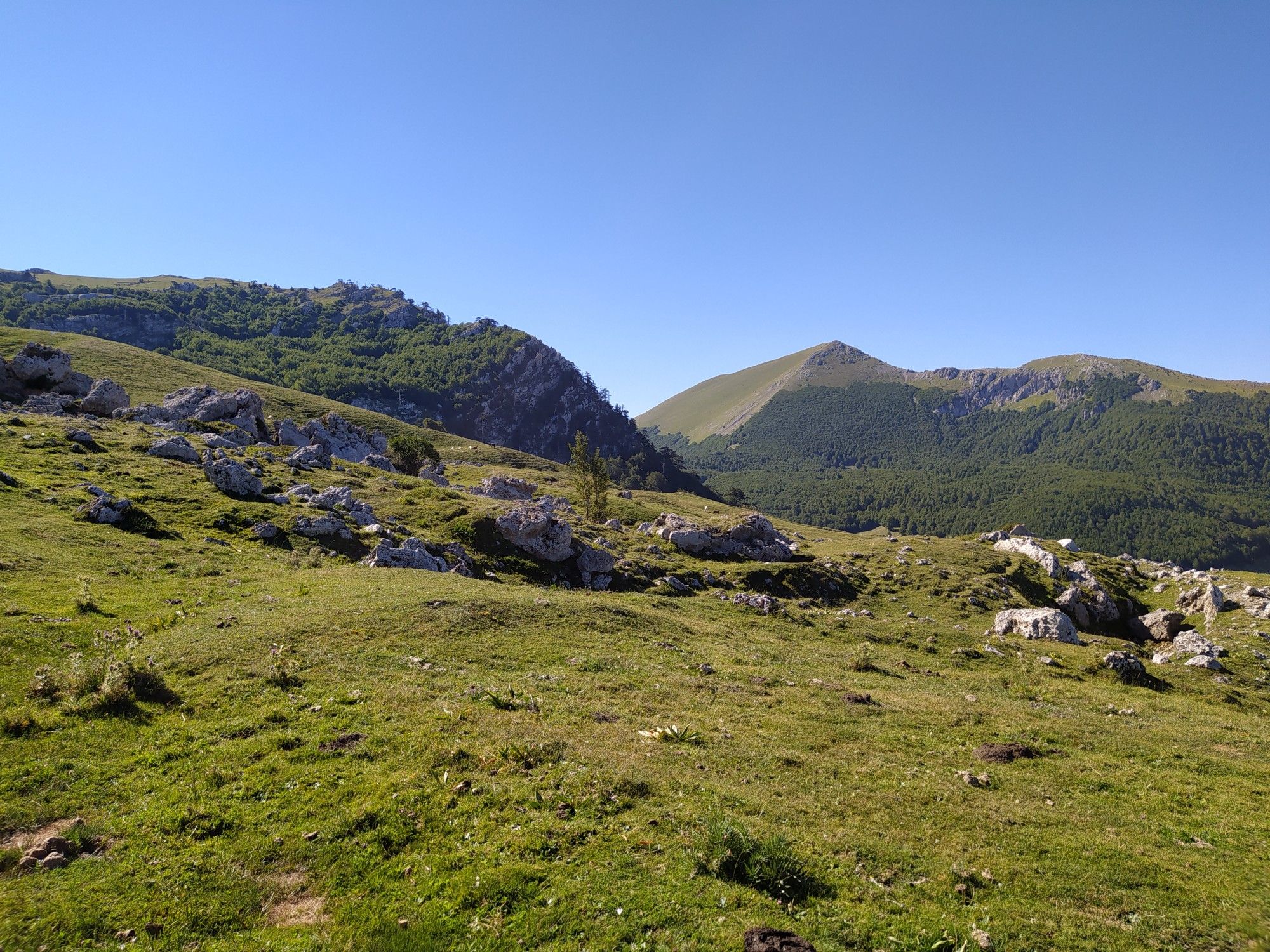
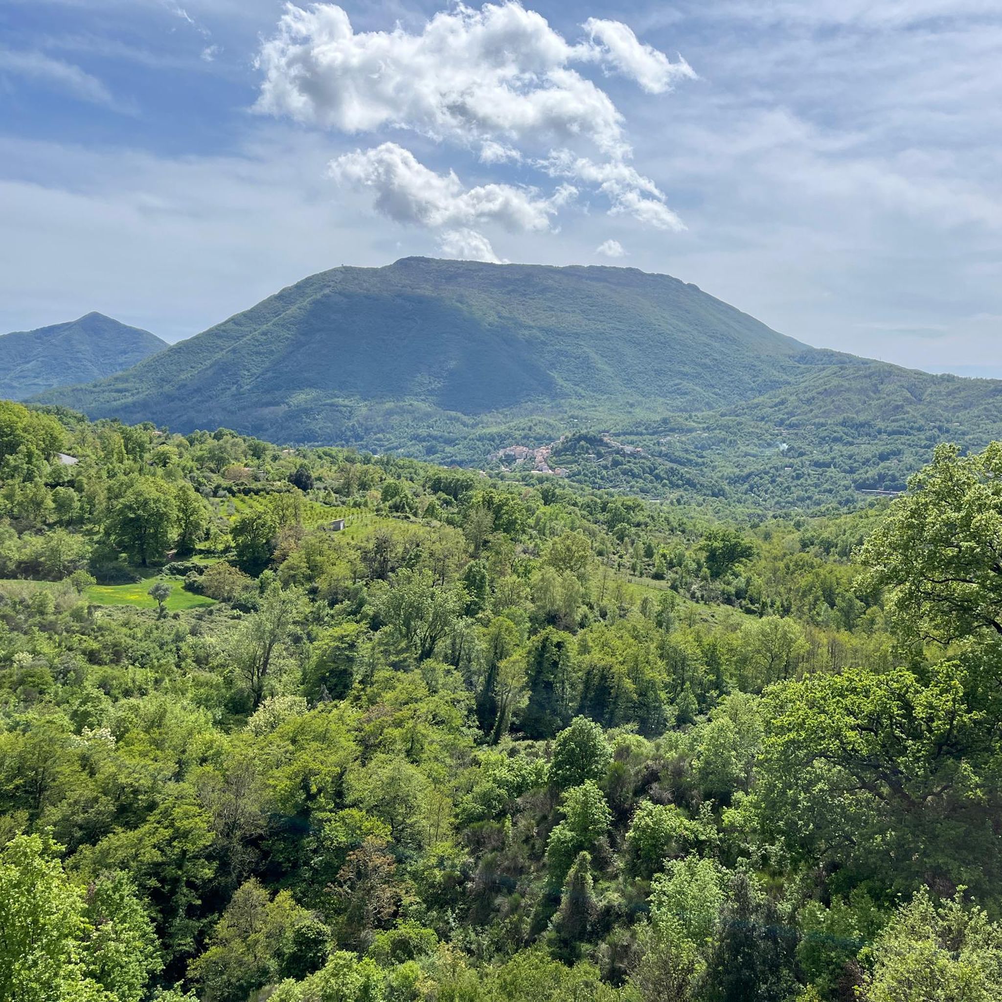
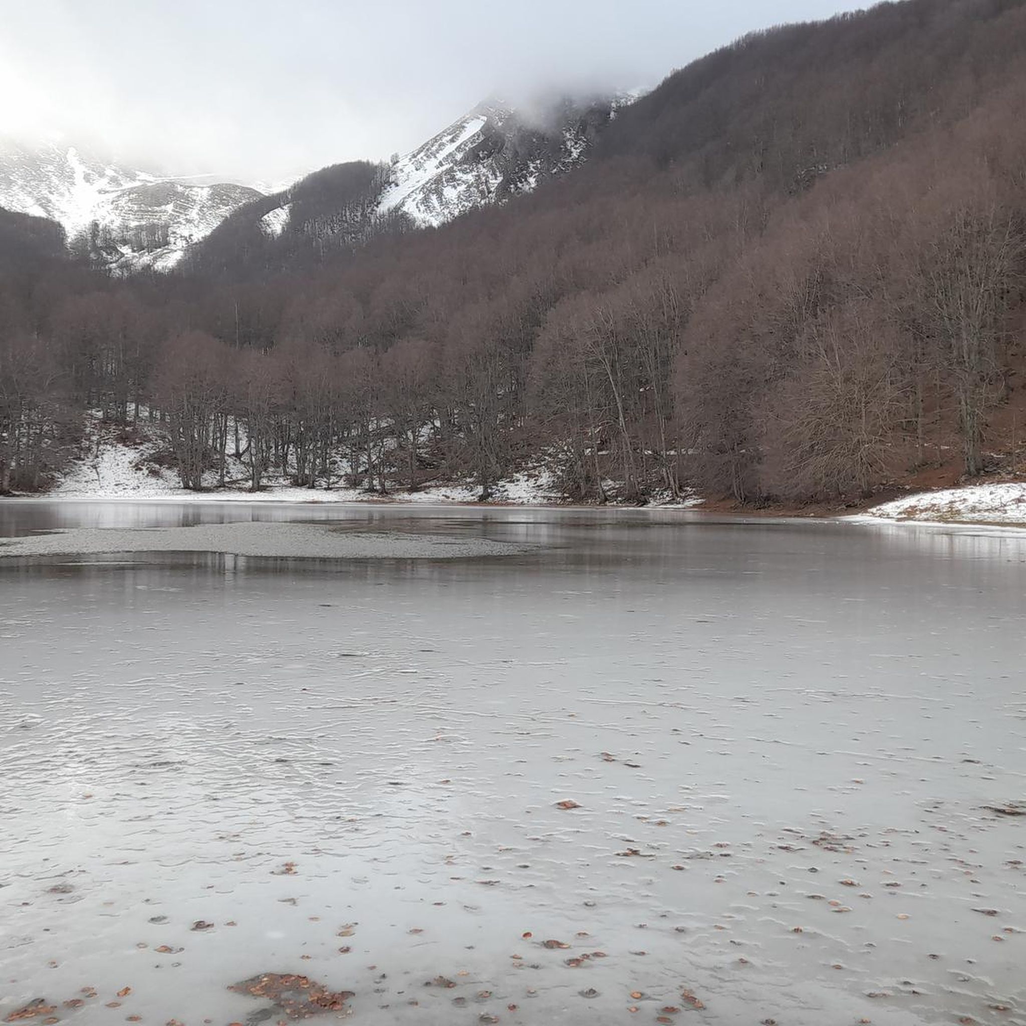
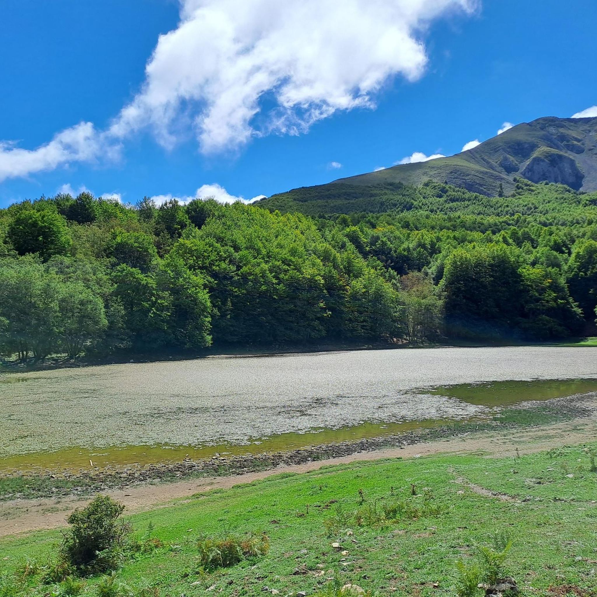
Other adventures around Castelsaraceno

Tips from the Community


My favourite start to climb Monte Alpi. Mind your fitness level, grades are wild :)
0
0

A beautiful lake where you can enjoy a relaxing break on its banks.
0
0
The Savino refuge is surrounded by a beautiful beech forest. Here is a table with benches and a fountain: it's the perfect place to stop for a break!
0
0
A fabulous place reachable on foot but also by mtb, you will be fascinated.
3
0
This lake is the southernmost glacial lake in Italy, a wonderful place immersed in a fairytale setting.
1
0
A wonderful "panoramic balcony" on the Pollino National Park. this peak can be reached with a medium-difficulty trek starting from the Favino refuge.
2
0

The Savino refuge is surrounded by a beautiful beech forest. Here is a table with benches and a fountain: it's the perfect place to stop for a break!
2
0
Frequently Asked Questions
What kind of terrain can I expect on running routes around Castelsaraceno?
Jogging routes in Castelsaraceno offer a diverse range of terrain, from mountainous paths with significant elevation changes to trails winding through dense beech forests and idyllic meadows. The region is nestled between the Pollino National Park and the Appennino Lucano Val d'Agri Lagonegrese National Park, ensuring varied and pristine natural environments.
Are there any challenging running trails for experienced runners?
Yes, Castelsaraceno offers several challenging routes. For instance, the Monte Alpi Loop Trail is a difficult 5.7-mile (9.2 km) route exploring mountainous terrain, while the Sentiero Italia - Stage T06 is a difficult 6.4-mile (10.3 km) path offering diverse natural environments. These routes are ideal for those seeking a more strenuous running experience.
Can I find any moderate running routes in the area?
Absolutely. While many routes are challenging, there are also moderate options available. For example, the Running loop from Latronico is a moderate 10 km route, and the Sarconi loop from Sarconi is another moderate option, both offering enjoyable runs without extreme difficulty.
Are there any circular running routes around Castelsaraceno?
Yes, several running routes in the area are circular, allowing you to start and finish in the same location. The Monte Alpi Loop Trail and the Rifugio Savino – Pizzo Falcone Summit loop from Bosco Favino are excellent examples of circular routes that offer a complete experience of the local landscape.
What natural features or landmarks can I see while running in Castelsaraceno?
The region is rich in natural beauty and interesting landmarks. You can expect to see ancient Loric Pines, picturesque valleys like the Raganello canyon, and panoramic viewpoints from various summits. Notable highlights include the Savino Hut and Fountain, and the Monte Santa Croce Summit. The famous Tibetan Bridge, while an adventure in itself, also offers breathtaking views of the Lucanian hinterland.
Are there any specific starting points for trails that offer amenities like picnic areas or drinking fountains?
Yes, Bosco Favino, located at 1,400 meters, is an ideal starting point for many trails and offers amenities such as picnic tables and drinking fountains. It's a great place to begin your run or relax afterward.
What is the best time of year for jogging in Castelsaraceno?
Castelsaraceno's diverse terrain makes it suitable for jogging across different seasons. Spring and autumn generally offer pleasant temperatures and vibrant scenery, ideal for exploring the forests and meadows. Summer mornings or late afternoons can also be great, especially on higher elevation trails. Winter running is possible, but some routes might require more preparation due to potential snow or colder conditions.
Are there any long-distance running options or sections of longer trails?
Yes, Castelsaraceno's trail network intersects with sections of the Sentiero Italia, a long-distance hiking route along the Apennine backbone. The Sentiero Italia - Stage T06 is one such section, offering a challenging 6.4-mile (10.3 km) run through diverse natural environments, perfect for those looking for a longer experience.
What makes Castelsaraceno a unique destination for outdoor activities beyond jogging?
Castelsaraceno, known as the 'heart-shaped hamlet,' is a hub for various outdoor activities due to its location between two national parks. Besides jogging, visitors can enjoy trekking, climbing, mountain biking, Nordic walking, and canyoning. The village itself, with its narrow alleys and ancient buildings, provides a charming backdrop for a regenerative journey, connecting visitors with nature and local traditions. The Tibetan Bridge is a major attraction for a unique suspended adventure.
How many running routes are available in the Castelsaraceno area?
There are over 5 dedicated running routes around Castelsaraceno featured on komoot, ranging in difficulty from moderate to difficult. These routes have been explored by more than 20 runners, showcasing the best of the region's diverse landscape.
Are there any historical sites or cultural points of interest near the running trails?
While the focus is on natural landscapes, the region does have historical significance. The Grumentum Archaeological Park is a notable historical site nearby. Additionally, the charming Castelsaraceno village itself, with its ancient buildings, offers a cultural experience as a starting or ending point for your runs.
Most popular attractions around Castelsaraceno

Get inspired with the komoot mobile app


Explore more
Browse the best Running Trails & Routes in other regions.
