The best running trails around Montenerodomo
110
runners
17
runs
Jogging around Montenerodomo offers routes through a landscape characterized by hills, valleys, and the presence of Lake Bomba. The region features varied terrain, from challenging ascents to more moderate paths, often passing through natural areas. Many routes provide views of the surrounding mountains and local landmarks. This area provides opportunities for runners to explore diverse natural environments.
Best jogging routes around Montenerodomo
- The most popular jogging route is Ascent to CIME Porrara and Paradina – loop run from Eremo Madonna…
Last updated: October 8, 2026
2
runners
21.4km
03:53
1,270m
1,250m
Hard run. Very good fitness required. Sure-footedness, sturdy shoes and alpine experience required.
1
runners
5.27km
00:53
370m
370m
Hard run. Very good fitness required. Mostly paved surfaces. Suitable for all skill levels.

20
runners
7.09km
00:50
190m
190m
Moderate run. Good fitness required. Mostly paved surfaces. Suitable for all skill levels.
20
runners
8.59km
00:59
220m
220m
Moderate run. Good fitness required. Mostly paved surfaces. Suitable for all skill levels.
12
runners
Hard run. Very good fitness required. Sure-footedness, sturdy shoes and alpine experience required.
Get access to more routes and recommendations from other explorers.
Already have an account?
Our route recommendations are based on thousands of hikes, rides, and runs completed by other people on komoot.
Start today with a free account
Your next adventure awaits.
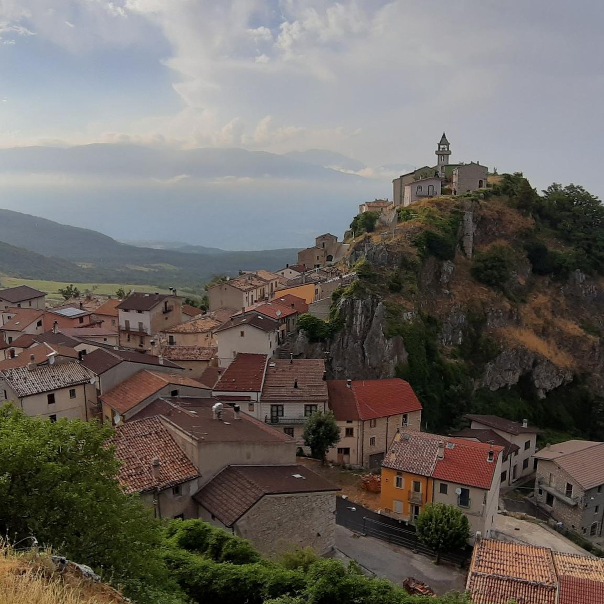
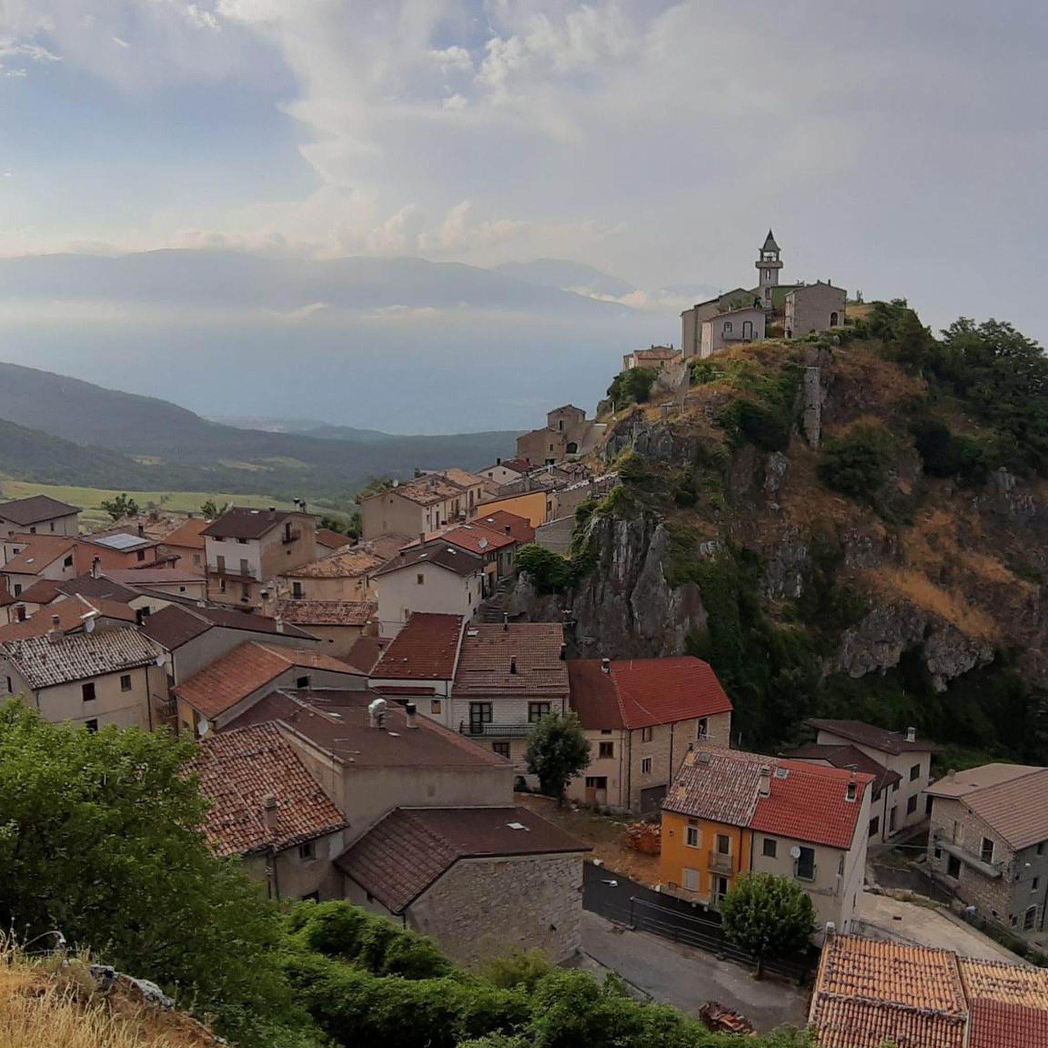
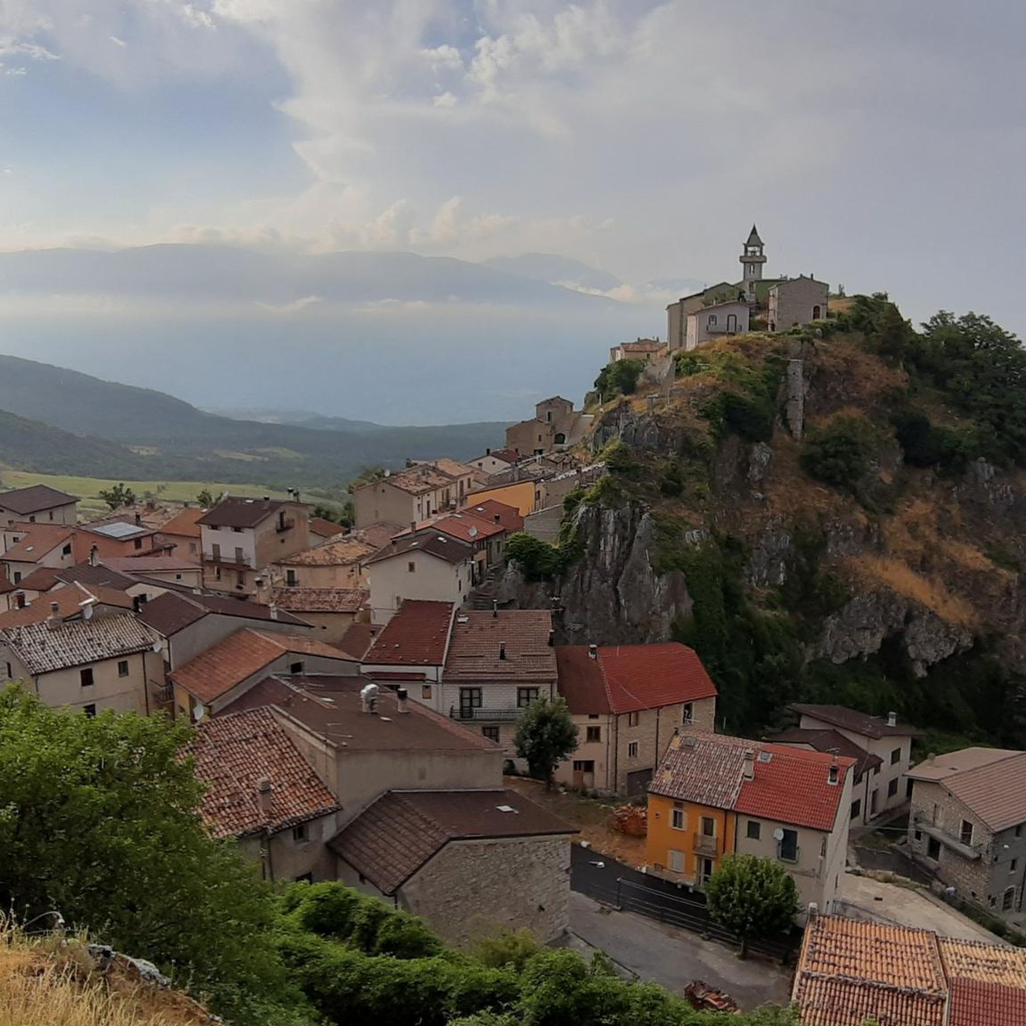
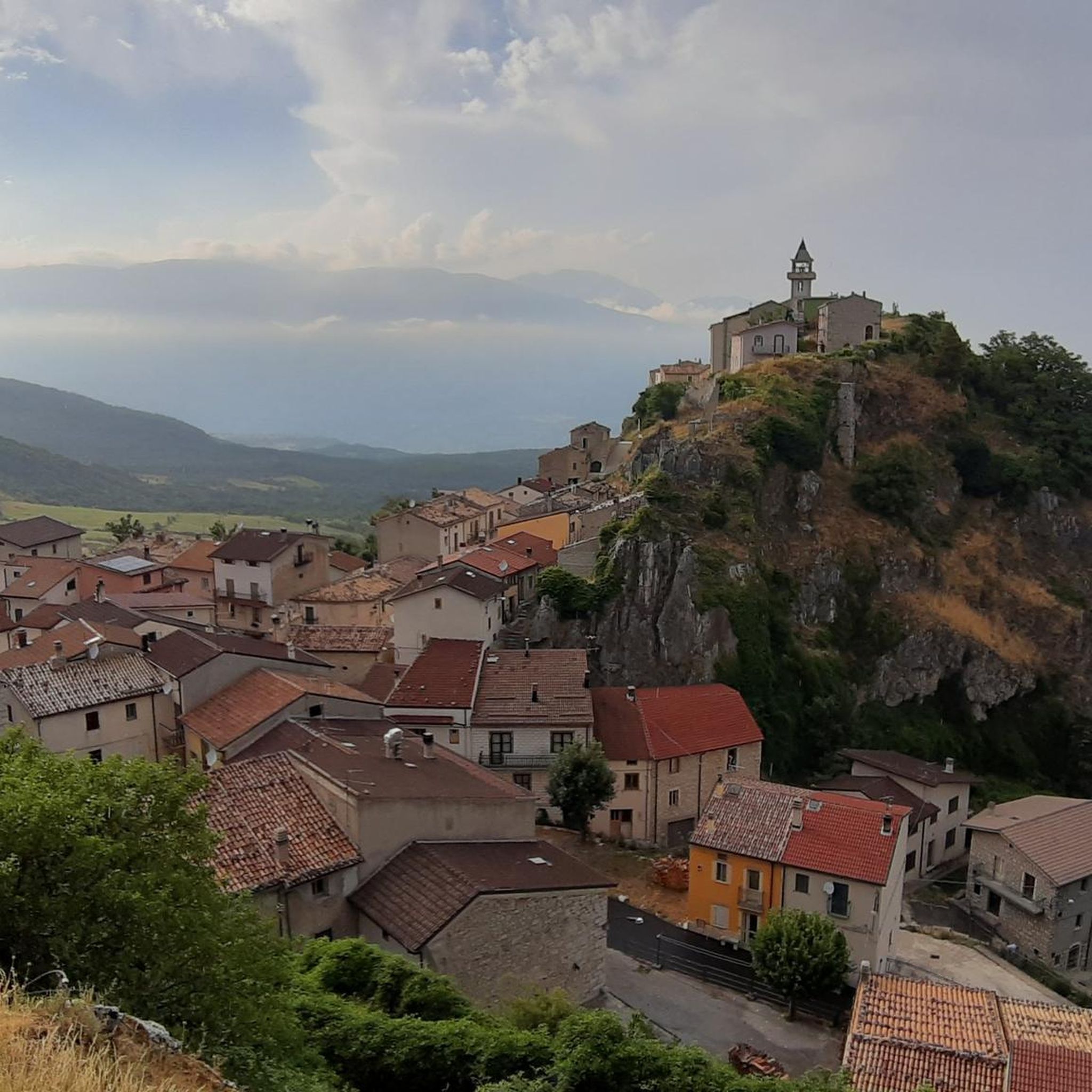
Tips from the Community

One of the most beautiful views of the Abruzzo peaks!
0
0

This stretch of trail, very scenic and relatively simple but requiring a lot of attention, leads to the top of Mount Porrara, along the ridge.
0
0
This stretch of trail, very scenic and relatively simple but requiring a lot of attention and prudence, leads from Cima Ogniquota to La Paradina, along the ridge.
0
0


The Deer Wildlife Area is a magical place in the Majella National Park. Despite its name, it's possible to spot deer, but it's a bit rare.
0
0

Along the ridge of Monte Porrara you can enjoy a beautiful panorama of the Majella peaks. A show!
1
1

Monte Porrara, with an altitude of 2,137 metres, is home to many wild animals. In a cave near this mountain Pope Celestine V lived for three years.
1
0
In this picnic area it is possible to see the Aventine springs that arrive here through a karst-type network, making the water full of minerals. The average water flow, depending on the season, varies from 600 to 2700 l/s. The Capo di Fiume Geosite is also located nearby.
1
0
Frequently Asked Questions
How many running routes are available around Montenerodomo?
Montenerodomo offers a selection of 11 curated running routes. These trails vary in difficulty, providing options for different fitness levels, though many feature significant elevation changes due to the region's mountainous terrain.
Are there any easy or beginner-friendly jogging routes in Montenerodomo?
While there are no routes specifically classified as 'easy' in this selection, some 'moderate' options might suit beginners looking for a challenge. For instance, the Colledimezzo and Lake Bomba Loop is a moderate 4.7-mile path with scenic views, offering a less strenuous experience compared to the more difficult mountain ascents.
What kind of terrain can I expect on the jogging trails near Montenerodomo?
The jogging trails around Montenerodomo are characterized by varied terrain, including hills, valleys, and paths around Lake Bomba. You'll encounter challenging ascents towards mountain peaks, as well as more moderate sections through natural areas. Many routes offer panoramic views of the surrounding mountains and local landmarks.
Are there any circular running routes in the Montenerodomo area?
Yes, several routes are designed as loops. A popular circular option is the Ascent to CIME Porrara and Paradina – loop run from Eremo Madonna dell'Altare, which is a challenging 13.3-mile trail. Another moderate loop is the Colledimezzo and Lake Bomba Loop.
What are some scenic viewpoints or natural attractions I can see while running?
Many routes offer stunning vistas. For example, the area features highlights like Mount Porrara and the Panoramic Ridge of Monte Porrara, which provide expansive views. You might also encounter the Quarto Grande Plateau or the serene Bosco di Sant'Antonio forest.
Are the running trails around Montenerodomo suitable for families?
While specific 'family-friendly' designations are not provided, families with older children or those accustomed to outdoor activities might enjoy the moderate routes. The Colledimezzo and Lake Bomba Loop, with its scenic views and moderate difficulty, could be a good option for an active family outing.
What is the best time of year to go jogging in Montenerodomo?
The best time for jogging in Montenerodomo is typically during spring and autumn when temperatures are milder and the natural scenery is vibrant. Summer mornings or late afternoons can also be pleasant, but it's advisable to avoid the midday heat. Winters can be cold, especially at higher elevations, with potential for snow, making some routes more challenging or inaccessible.
Are there any historical or cultural landmarks along the running routes?
Yes, the region is rich in history. While running, you might be near sites such as the Fanzago Palace, the Hermitage of San Michele Arcangelo of Pescocostanzo, or the Basilica of Santa Maria del Colle. The Historic Center of Pescocostanzo also offers a glimpse into local heritage.
How long do the running routes typically take to complete?
The duration of running routes varies significantly based on distance and difficulty. For example, the challenging Ascent to CIME Porrara and Paradina can take nearly 4 hours, while the Abruzzo Way: Stage 29, a 3.3-mile trail, is often completed in under an hour.
What are the longest running routes available in Montenerodomo?
For those seeking longer distances, the Running loop from Lama dei Peligni is a substantial 17.6-mile (28.3 km) difficult route. Another challenging option is the Ascent to CIME Porrara and Paradina, which spans 13.3 miles (21.4 km).
Are there any less crowded running routes for a more peaceful experience?
While specific crowd levels aren't tracked, generally, routes that are longer or have higher difficulty ratings, such as the Trail to Monte Porrara Summit loop from Inghiottitoio, tend to be less frequented than shorter, more accessible paths. Exploring trails during off-peak hours (early mornings or weekdays) can also enhance tranquility.
What do other runners enjoy most about the trails in Montenerodomo?
The komoot community frequently praises the diverse natural environments and the stunning views offered by the trails. Runners often highlight the challenging mountain ascents and the serene lakeside paths around Lake Bomba, appreciating the variety and natural beauty of the region.
Most popular attractions around Montenerodomo

Get inspired with the komoot mobile app


Explore more
Browse the best Running Trails & Routes in other regions.
