The best walks and hikes around Segni
4.6
(168)
672
hikers
16
hikes
Hiking around Segni offers diverse trails within the Lepini Mountains, characterized by mountainous terrain and panoramic views. The region features ancient Cyclopean Walls and olive groves, providing a blend of natural beauty and historical landmarks. Paths range from accessible routes to challenging ascents, winding through varied flora and fauna. This area provides a picturesque backdrop for outdoor exploration.
Best hiking trails around Segni
- The most popular hiking route is From Campo di Segni to Monte Lupone - ring tour,…
Last updated: June 25, 2026
4.3
(56)
153
hikers
9.66km
03:20
520m
520m
Moderate hike. Good fitness required. Mostly accessible paths. Sure-footedness required.
4.5
(12)
46
hikers
18.2km
05:57
750m
750m
Hard hike. Very good fitness required. Mostly accessible paths. Sure-footedness required.

Sign up for free
4.3
(19)
103
hikers
8.34km
03:04
520m
520m
Moderate hike. Good fitness required. Mostly accessible paths. Sure-footedness required.
5
hikers
5.22km
01:59
340m
340m
Moderate hike. Good fitness required. Mostly accessible paths. Sure-footedness required.
5.0
(2)
15
hikers
6.41km
01:55
200m
200m
Easy hike. Great for any fitness level. Easily-accessible paths. Suitable for all skill levels.
Get access to more routes and recommendations from other explorers.
Sign up for free
Already have an account?
Our route recommendations are based on thousands of hikes, rides, and runs completed by other people on komoot.
Start today with a free account
Your next adventure awaits.
Login or Signup

Other adventures around Segni

Tips from the Community

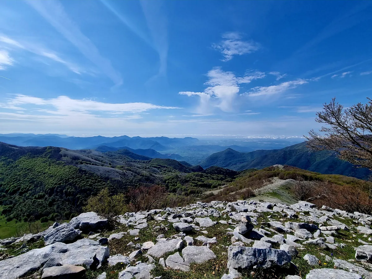
Once you reach the top, a wonderful view
0
0

An excellent panoramic point (on the route towards Monte Lupone) from which to admire Piana di Segni.
0
0
Funnily enough, nature takes on the most imaginative forms, like this beech tree that appears to have a rhinoceros' head sticking out of its trunk.
0
0

It is worth lengthening the route from the top of Mount Lupone to cover this downhill section of the ridge. The panorama that can be enjoyed walking on the sea and on the interior of the Lepini mountains is incredible.
2
0
Monte Lupone is the northernmost peak of the Lepini massif. The altitude, 1,378 meters, is modest but you can still enjoy a 360-degree panorama that ranges from the Apennine peaks above Frosinone to the coast of the Tyrrhenian Sea.
4
0
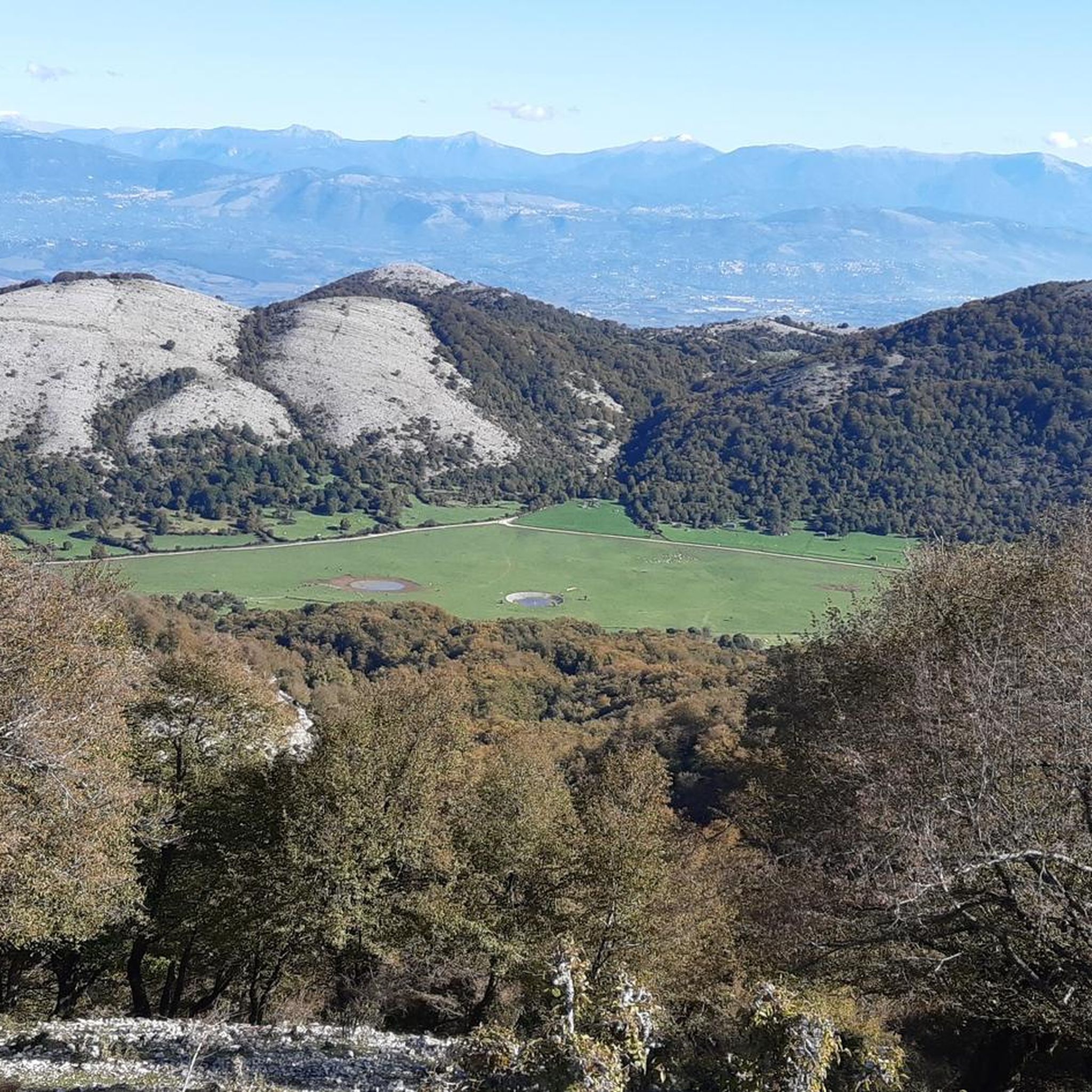
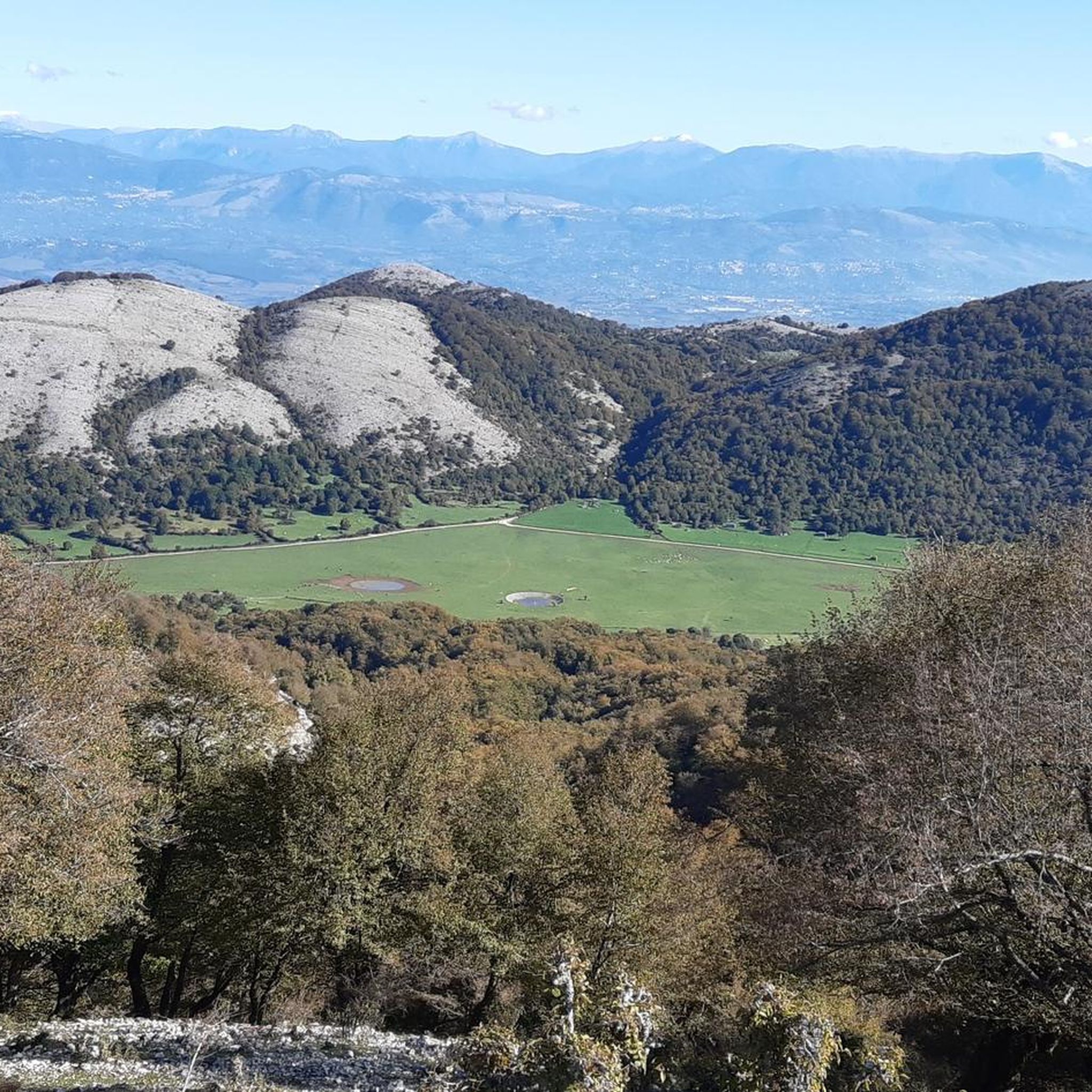
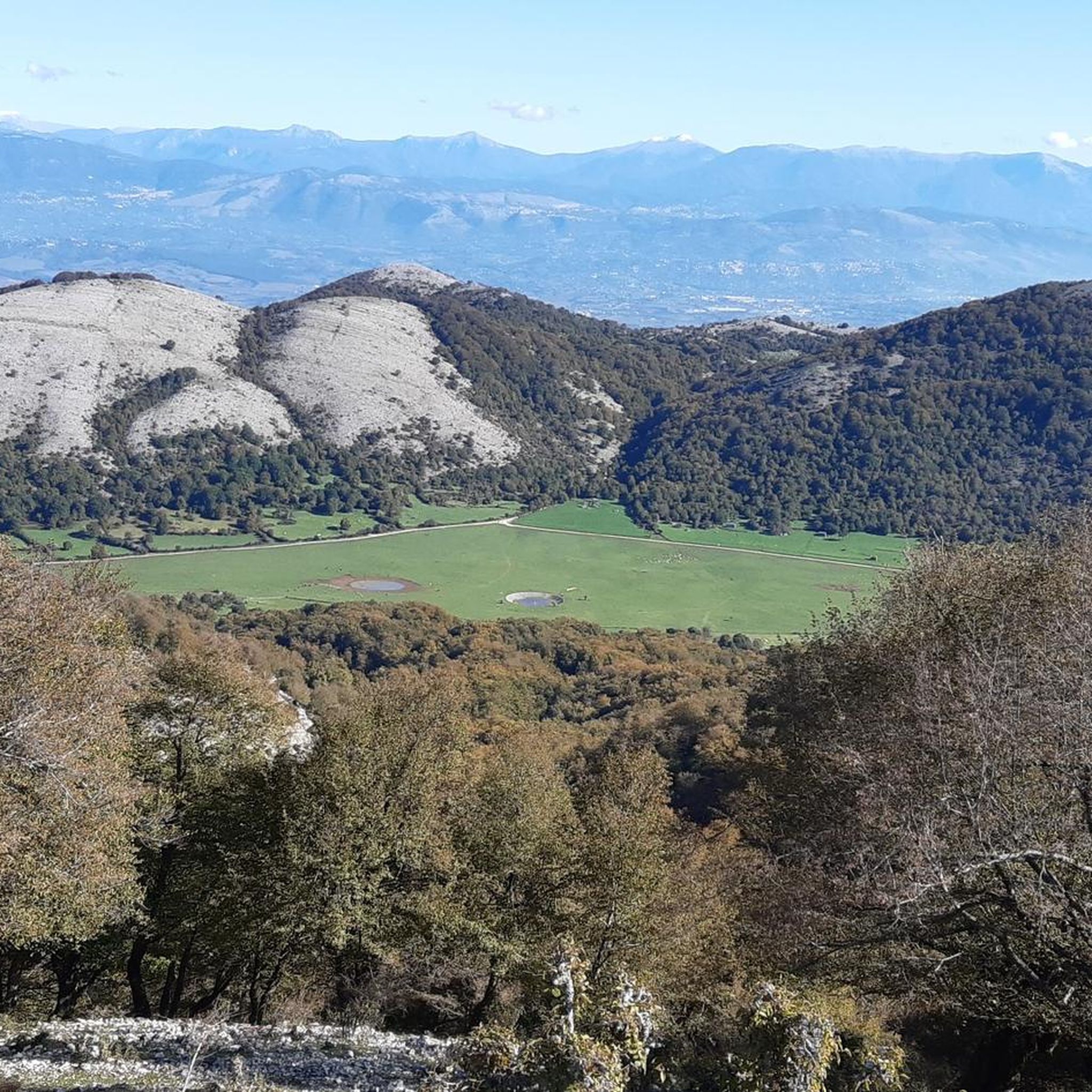
The summit of Monte Locino can be reached by leaving the main path that leads to Monte Lupone. The ascent path is not marked but after the short stretch of wood the summit is clearly visible. From here you have a panoramic view of Campo di Segni and the top of Mount Lupone.
4
0
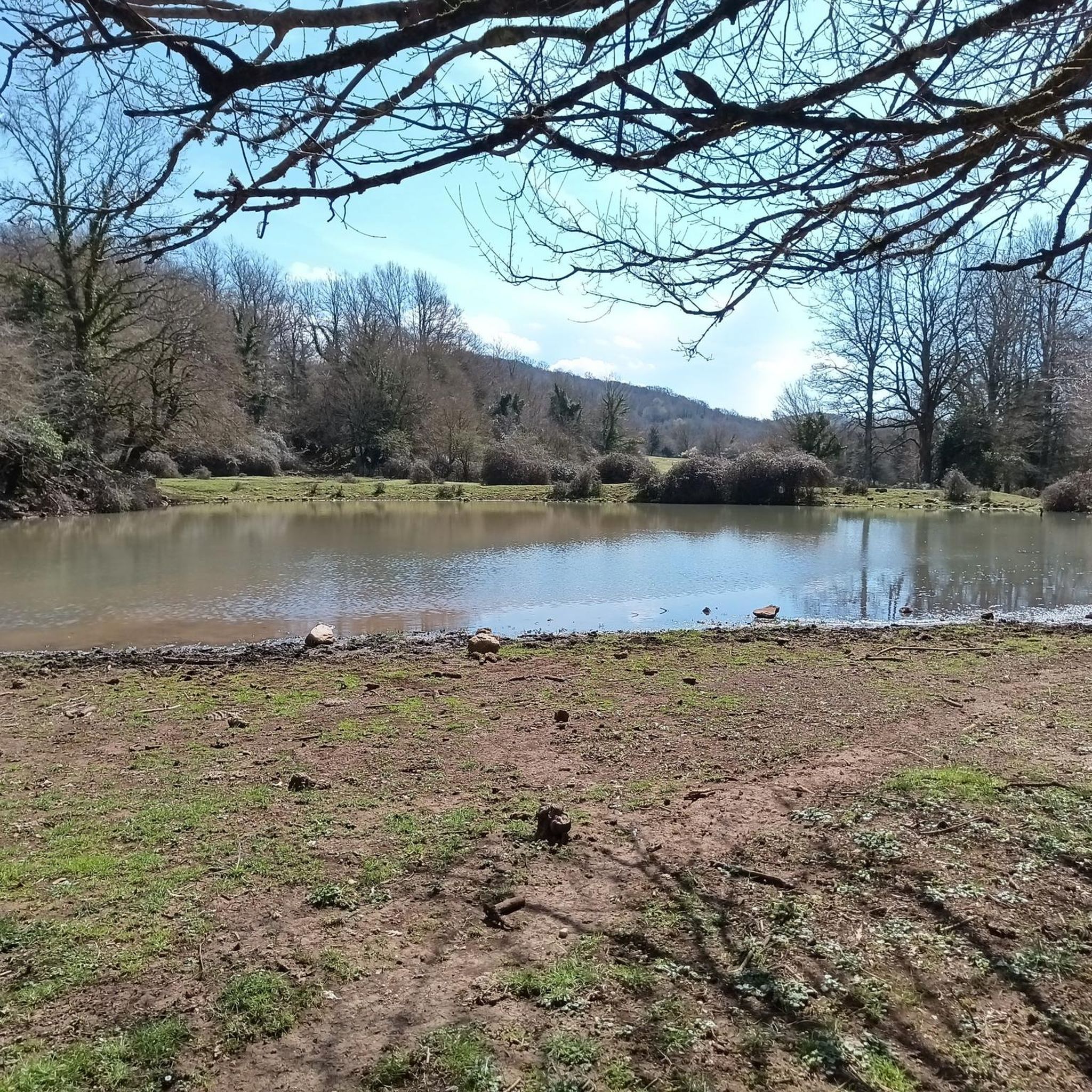
The field of Segni is the most evident evidence of the karst phenomenon on the Lepini mountains. On the large grassy plateau there are three volumes, small lakes used to water the livestock that graze freely here. This place is great for a family picnic surrounded by nature.
4
0

Alternative trekking to the usual tour on Monte Lupone, these two peaks are not far from each other, the path that runs along them at the bottom, therefore it is necessary to leave the path, which however is not very visible in some points.
0
0
Frequently Asked Questions
What kind of terrain can I expect on hikes around Segni?
Hiking around Segni primarily features mountainous terrain within the Lepini Mountains. You'll find paths winding through ancient olive groves, past the historic Cyclopean Walls, and offering panoramic views of the surrounding hills. The trails vary from accessible routes to more challenging ascents with significant elevation gain.
Are there any easy or beginner-friendly hiking trails in Segni?
Yes, Segni offers several easier options. For a relatively gentle walk, consider the Campo di Segni – Campo di Segni loop from Punta dei Briganti. This 3.9-mile (6.3 km) trail leads through open landscapes and is generally completed in under two hours, making it suitable for beginners or those seeking a less strenuous outing.
What historical landmarks or natural features can I see while hiking in Segni?
Segni is rich in both historical and natural attractions. You can explore the impressive ancient Cyclopean Walls, which are integrated into some hiking itineraries. The Acropolis, with remains of temples and Roman cisterns, is accessible via pleasant walks through olive and holm oak groves. Additionally, the Temple of Juno Moneta offers historical interest alongside scenic views. For natural beauty, the Lepini Mountains themselves provide diverse flora and fauna.
Are there any circular hiking routes available in Segni?
Yes, many of the trails around Segni are circular, allowing you to start and end at the same point. A popular moderate option is the From Campo di Segni to Monte Lupone - ring tour, which is about 6 miles (9.7 km) long. For a more challenging circular route, the Loop of Mount Lupone from Segni – Lepini Mountains covers over 11 miles (18.2 km) with expansive mountain views.
What do other hikers enjoy most about the trails in Segni?
The hiking routes in Segni are highly rated by the komoot community, with an average score of 4.6 stars from over 130 reviews. Hikers frequently praise the blend of natural beauty with historical sites, the panoramic views from the Lepini Mountains, and the diverse range of trails catering to different fitness levels.
Are there any family-friendly hiking options around Segni?
While some trails involve significant elevation, there are options suitable for families. The easier routes, such as the Campo di Segni – Campo di Segni loop from Punta dei Briganti, offer shorter distances and less challenging terrain, perfect for a family outing. The charming historic center of Segni also provides leisurely strolls with panoramic views.
What is the best time of year to go hiking in Segni?
The Lepini Mountains offer pleasant hiking conditions for much of the year. Spring and autumn are generally ideal, with milder temperatures and vibrant natural scenery. Summer can be warm, so early morning or late afternoon hikes are recommended. While winter hiking is possible, it's advisable to check local weather conditions, especially for higher elevations.
Are there any nearby attractions or points of interest to visit after a hike?
Absolutely! Beyond Segni's ancient walls, you can explore several fascinating sites. Consider visiting Lake Giulianello for a tranquil experience, or the renowned Giardini di Ninfa, a stunning medieval garden. For more history, the Ancient City of Norba offers impressive archaeological ruins.
Is parking available at the trailheads in Segni?
Yes, parking facilities are generally available near the main trailheads, particularly around areas like Campo di Segni, which serves as a common starting point for many routes into the Lepini Mountains. It's always a good idea to check specific route details on komoot for precise parking information.
Can I reach hiking trails around Segni using public transport?
Segni itself is accessible by public transport, and local bus routes may connect the town to some of the closer trailheads within the Monti Lepini area. For more remote starting points, a car might be necessary. It's recommended to check local bus schedules and routes in advance for the most up-to-date information.
Are there any cafes or pubs near the hiking trails in Segni?
Segni's intimate historic center offers charming cafes and restaurants where you can relax and refuel after your hike. While there might not be establishments directly at every trailhead, the town provides ample options for refreshments and meals within a short distance of many popular routes.
Most popular attractions around Segni

Get inspired with the komoot mobile app


Explore more
Browse the best Hikes in other regions.
