The best road cycling routes around Lumarzo
4.4
(331)
5,575
riders
71
rides
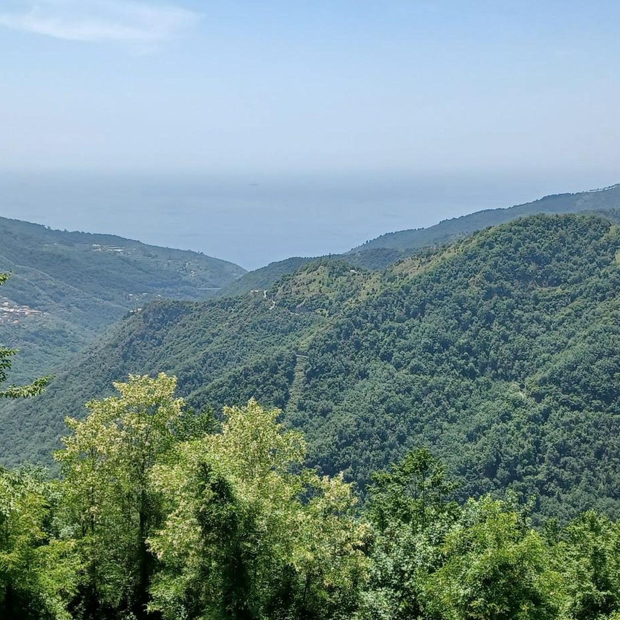
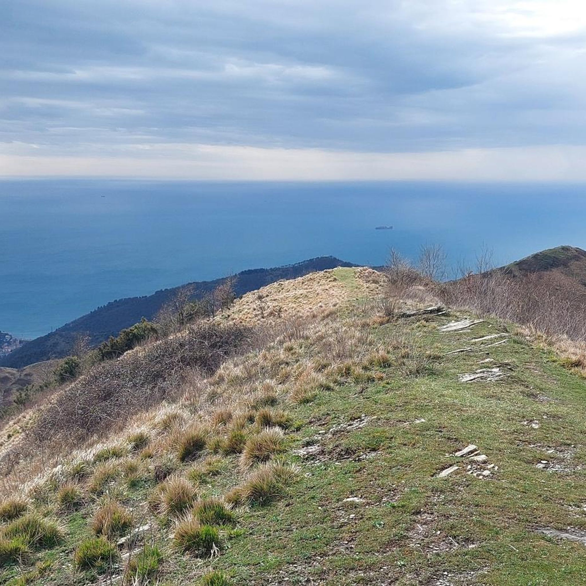
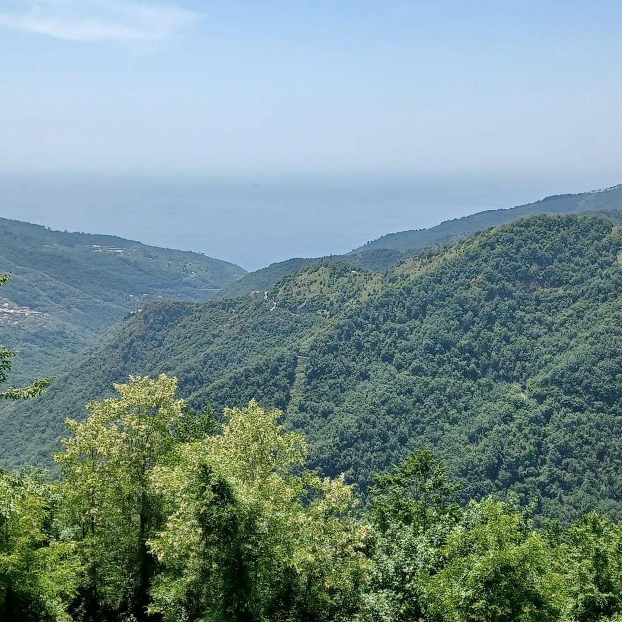
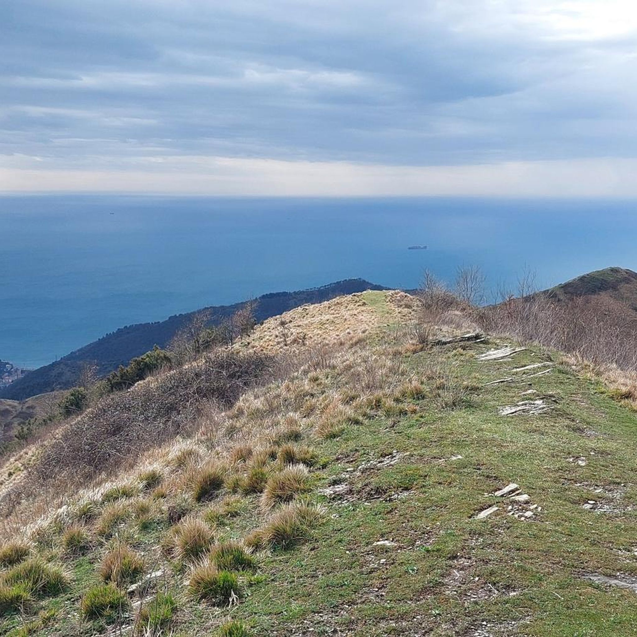
Road cycling routes around Lumarzo are characterized by their diverse landscapes, situated in the upper Val Fontanabuona, east of Genoa. The region features challenging mountainous terrain with significant elevation gains, offering panoramic views from various points. Green valleys and ancient paths provide varied topography, while the area's proximity to the Ligurian coast allows for routes with distant sea views. This area provides a mix of climbs and descents for road cyclists.
Best road cycling routes around Lumarzo
- The most popular…
Last updated: July 8, 2026
4.3
(4)
172
riders
115km
06:11
2,210m
2,210m
Hard road ride. Very good fitness required. Mostly well-paved surfaces and easy to ride.
5.0
(2)
40
riders
93.1km
04:36
1,440m
1,440m
Hard road ride. Very good fitness required. Mostly well-paved surfaces and easy to ride.

Sign up for free
34
riders
28.7km
01:42
690m
690m
Moderate road ride. Good fitness required. Mostly well-paved surfaces and easy to ride.
22
riders
77.0km
03:58
1,360m
1,360m
Hard road ride. Very good fitness required. Mostly well-paved surfaces and easy to ride.
20
riders
Hard road ride. Very good fitness required. Mostly well-paved surfaces and easy to ride.
Get access to more routes and recommendations from other explorers.
Sign up for free
Already have an account?
Our route recommendations are based on thousands of hikes, rides, and runs completed by other people on komoot.
Start today with a free account
Your next adventure awaits.
Login or Signup
Tips from the Community

Very busy coastal road, pay attention
0
0

Unsafe bathing due to lack of a dedicated lifeguard service
0
0


beautiful, quiet pass with picnic area
0
0

Ecclesiastical building kept in excellent condition.
18
0
Painting depicting a lady
17
0

Situated at 956 meters between the Vara and Aveto Valleys, the Bocco Pass is one of the historic passes of the Ligurian Apennines, used since ancient times as a connection between the Tyrrhenian coast and the Po Valley hinterland. Already in Roman times, it was part of a secondary transit network, but it was especially in the Middle Ages and modern times that the pass assumed a central role in local traffic: a route for merchants, shepherds, and pilgrims, it connected Chiavari and the Riviera with Varese Ligure and the Emilian plains. Traces of the ancient paving are still visible today in the surrounding woods. During the Second World War, the area served as a refuge for partisan groups, thanks to its secluded location and dense forest cover. Today, the pass is a destination for cyclists and hikers, immersed in an unspoiled mountain landscape of beech and fir forests and highland meadows, at the gateway to the Aveto Regional Natural Park.
0
0
Frequently Asked Questions
How many road cycling routes are available around Lumarzo?
There are over 65 road cycling routes around Lumarzo documented on komoot, offering a wide variety of options for different skill levels and preferences.
What is the general difficulty level of road cycling routes in Lumarzo?
Road cycling routes in Lumarzo range from moderate to difficult. While there are 8 moderate routes, the majority, 33 out of 65, are classified as difficult, featuring substantial elevation gains and challenging terrain. There are 24 routes rated as moderate.
Are there any circular road cycling routes in Lumarzo?
Yes, many road cycling routes around Lumarzo are designed as loops. For example, the View of Lavagna – View of Sestri Levante loop from Tribogna is a popular circular route offering extensive coastal views. Another option is the challenging La Bella di Torriglia – Hotel Miramont loop from Cugne.
What kind of landscapes can I expect to see while road cycling in Lumarzo?
Lumarzo's road cycling routes traverse diverse landscapes, including challenging mountainous terrain with rewarding panoramic vistas, green valleys, and ancient paths. The region's proximity to the Ligurian coast also means you can enjoy distant sea views on many routes.
What are some notable viewpoints or attractions along road cycling routes in Lumarzo?
Cyclists can encounter several interesting points. The ascent to Monte Santa Croce offers stunning views, and Mount Pegge provides spectacular vistas encompassing both western and eastern Liguria. You might also pass by the Punta Chiappa Battery, offering unique coastal panoramas.
What do other cyclists enjoy most about road cycling in Lumarzo?
The komoot community highly rates road cycling in Lumarzo, with an average score of 4.4 stars from over 340 reviews. Cyclists often praise the varied terrain, the challenging climbs, and the rewarding panoramic views, especially those overlooking the Ligurian coastline.
What is the typical length and duration of road cycling routes in Lumarzo?
Route lengths vary significantly. For instance, the View from Colle Caprile – Uscio – The Town of Tower Clocks loop from Gattorna is about 20.6 miles (33.2 km) and takes around 2 hours. Longer routes, like the La Bella di Torriglia – Hotel Miramont loop from Cugne, stretch to 47.8 miles (77.0 km) and can take over 4 hours to complete.
Are there routes suitable for experienced road cyclists seeking a significant challenge?
Absolutely. Lumarzo is known for its challenging mountainous terrain. Many routes, such as the La Bella di Torriglia – Hotel Miramont loop from Cugne, feature substantial elevation gains, making them ideal for experienced cyclists looking for a demanding ride.
Can I find routes that offer views of the Ligurian coast?
Yes, Lumarzo's location provides excellent opportunities for coastal views. The View of Lavagna – View of Sestri Levante loop from Tribogna is specifically highlighted for its extensive views of the Ligurian coastline. The region's mountainous backdrop often allows for distant glimpses of the sea.
Are there any historical sites or cultural landmarks I can visit while cycling?
Yes, the area is rich in history. You can find sites like the 16th-century Sanctuary of Madonna del Bosco or the 15th-century Church of San Martino al Vento. The Thousand-Year-Old Church of Ruta, founded in the 12th century, also offers breathtaking views.
What are the elevation gains like on road cycling routes in Lumarzo?
Road cycling routes in Lumarzo are characterized by significant elevation gains due to the mountainous terrain. For example, the La Bella di Torriglia – Hotel Miramont loop from Cugne involves over 1350 meters of ascent, providing a substantial challenge for cyclists.
What is the best time of year to go road cycling in Lumarzo?
While specific weather conditions can vary, the spring and autumn months generally offer pleasant temperatures for road cycling in Liguria, avoiding the intense heat of summer and the colder, potentially wetter conditions of winter. Always check local forecasts before heading out.
Most popular routes around Lumarzo
Most popular attractions around Lumarzo

Get inspired with the komoot mobile app


Explore more
Browse the best Road cycling routes in other regions.
