The best road cycling routes around Tuningen
4.4
(741)
10,234
riders
11
rides
Road cycling routes around Tuningen are situated on the Baar plateau, offering a diverse landscape between the Black Forest and the Swabian Alb. The region features rolling hills and open countryside, with sections of agricultural land and forested areas. This geographical position provides cyclists with access to both relatively flat routes across the plateau and more challenging, hilly terrain with significant elevation changes.
Best road cycling routes around Tuningen
- The most popular road cycling route is Side road Hochemmingen –…
Last updated: October 5, 2026
4.0
(2)
29
riders
51.9km
02:19
540m
540m
Moderate road ride. Good fitness required. Some segments of this route may be unpaved and difficult to ride.
5.0
(1)
17
riders
43.7km
02:08
650m
650m
Moderate road ride. Good fitness required. Mostly well-paved surfaces and easy to ride.

4.0
(1)
15
riders
49.0km
02:23
350m
350m
Moderate road ride. Good fitness required. Some segments of this route may be unpaved and difficult to ride.
8
riders
27.3km
01:13
190m
190m
Easy road ride. Great for any fitness level. Mostly well-paved surfaces and easy to ride.
10
riders
50.0km
02:09
370m
370m
Moderate road ride. Good fitness required. Some segments of this route may be unpaved and difficult to ride.
Get access to more routes and recommendations from other explorers.
Already have an account?
Our route recommendations are based on thousands of hikes, rides, and runs completed by other people on komoot.
Start today with a free account
Your next adventure awaits.
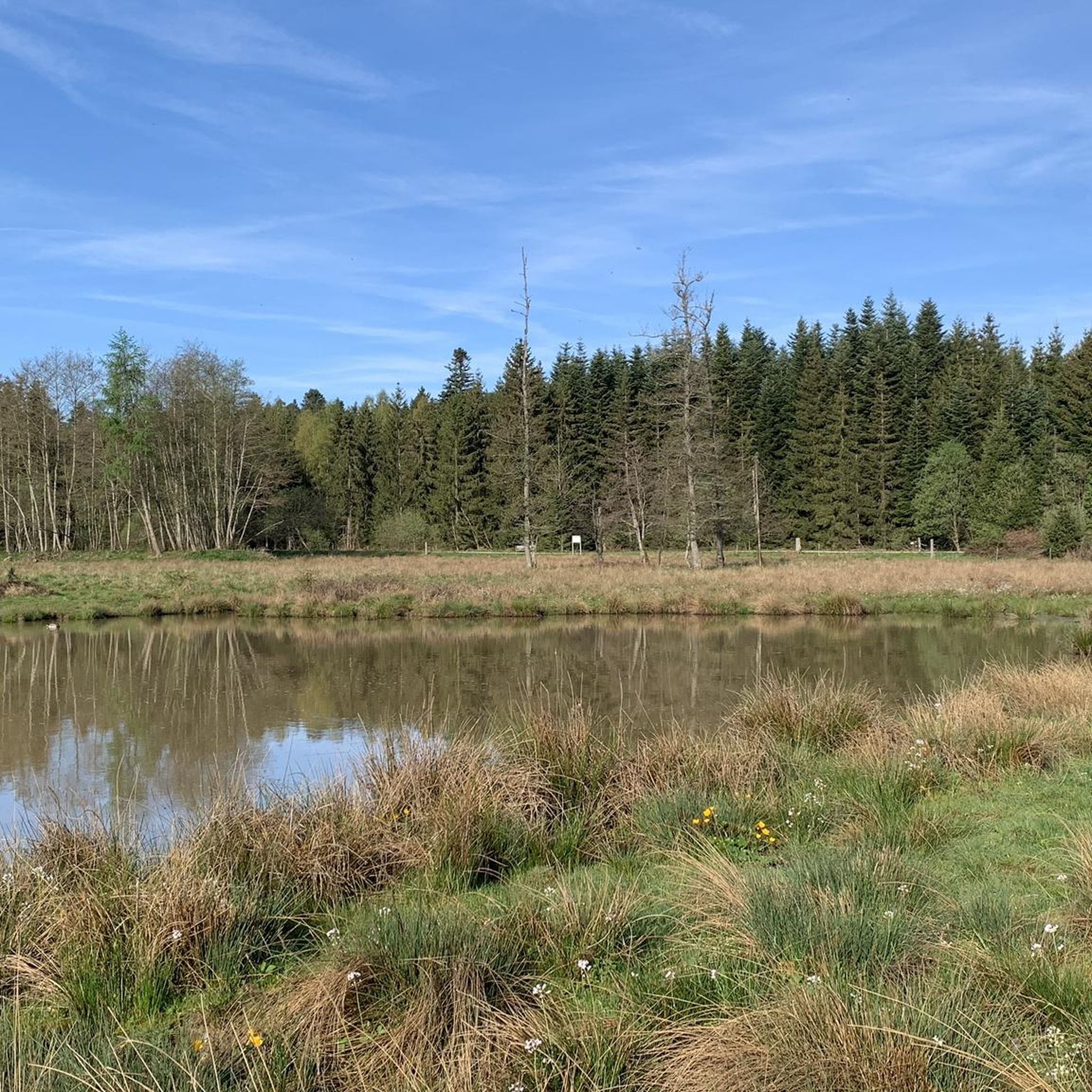
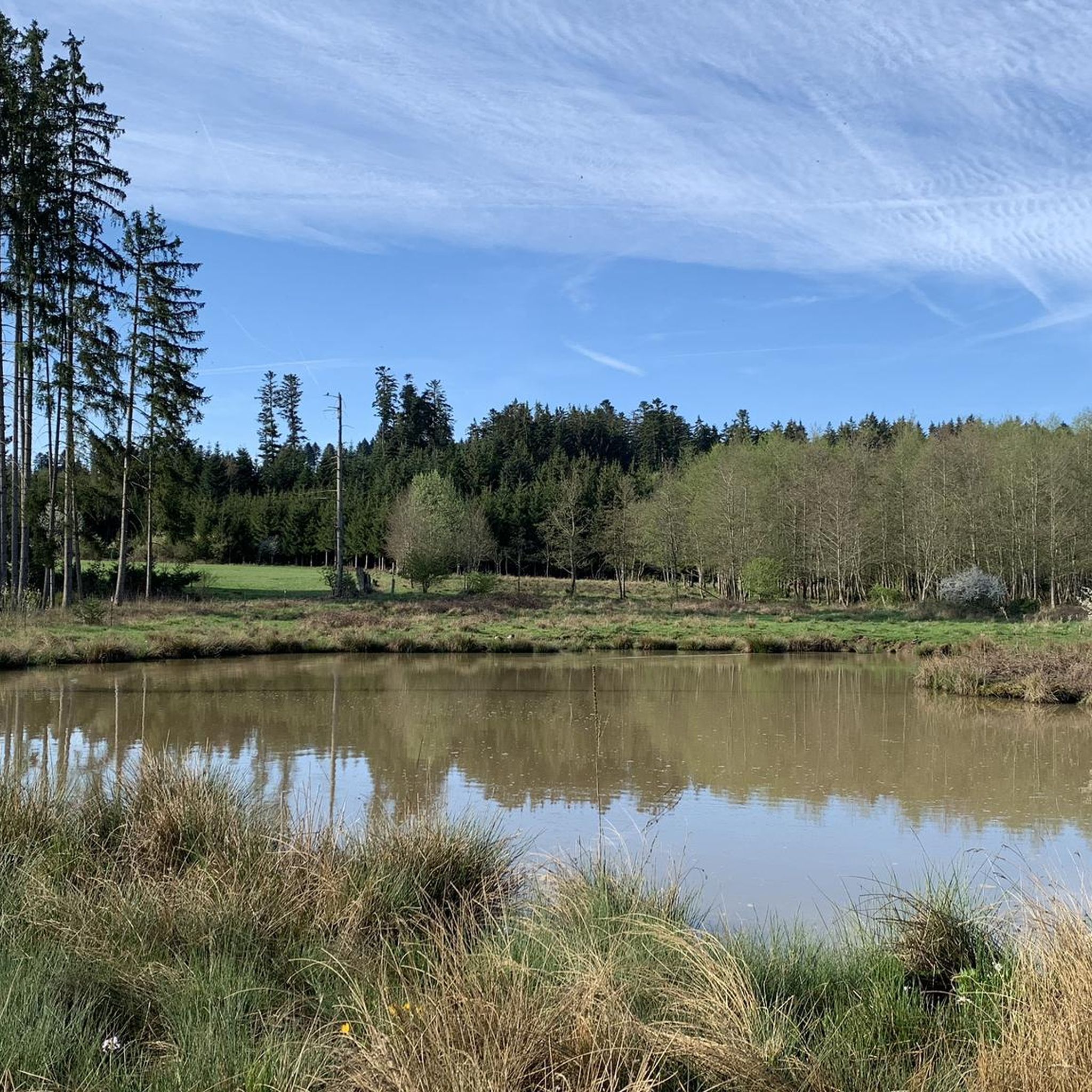
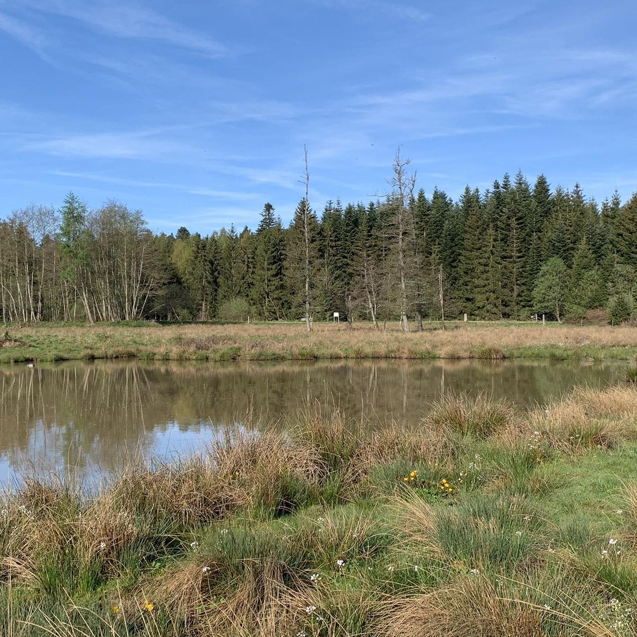

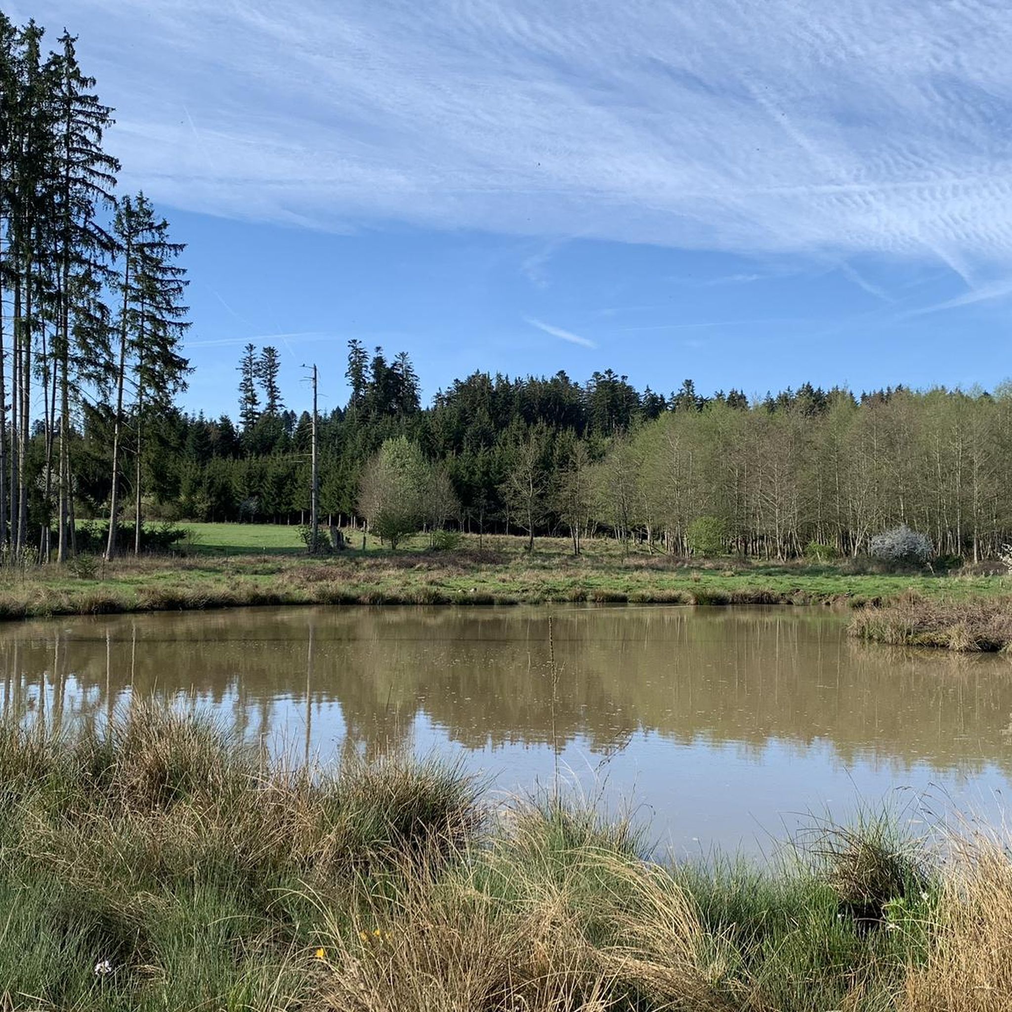
Tips from the Community

Beautiful viewpoint from Fürstenberg looking north towards the young Danube as well as Neudingen and Pfohren. On a nice day perhaps even further, although as a holidaymaker I'm not sure.
0
0

Another of Bräunlingen's well-preserved medieval town gates. The round tower and fortified arch are typical of the region's historic defenses — a satisfying landmark to ride through.
0
0
A historic fountain in the center of Bräunlingen. Worth a brief stop to appreciate this charming town landmark and refill water if needed.
0
0

Neudingen is the southernmost village in Germany located directly on the Danube. After the river originates in Donaueschingen from the confluence of the Brigach and Breg, it flows eastward and makes a distinctive bend south at Neudingen before continuing its course towards Tuttlingen.
0
0

Great surface, beautiful area and always close to the Danube
1
0


Visible from afar and very impressive and beautiful
0
0
The young Danube is very idyllic
0
0
Frequently Asked Questions
How many road cycling routes are available around Tuningen?
There are over 10 road cycling routes around Tuningen, offering a variety of experiences. These include 5 easy routes and 8 moderate routes, catering to different skill levels.
What kind of terrain can I expect on road cycling routes in Tuningen?
Road cycling routes around Tuningen are characterized by rolling hills and open countryside. You'll find a mix of agricultural land and forested sections, with routes often providing scenic views over the Baar landscape. The topography is gently undulating, suitable for road cycling.
Are there any easy road cycling routes suitable for beginners or families?
Yes, Tuningen offers several easy road cycling routes perfect for beginners or families. One popular option is the Side road Hochemmingen – Marbach Church loop from Tuningen, which is 22.3 miles (35.8 km) with gentle climbs through rural areas. Another easy route is the Roadbike loop from Tuningen, a shorter 10.6 miles (17.1 km) ride.
What are some options for longer or more challenging road cycling routes?
For those seeking longer rides or more significant ascents, the Church on the Fürstenberg – View over the Baar loop from Tuningen is a moderate 31.9 miles (51.3 km) path offering expansive views over the Baar plateau and a notable climb. Another moderate option is the Evangelical Church Schura – Pond with water buffaloes loop from Tuningen, covering 26.6 miles (42.8 km) through varied landscapes.
What do other road cyclists say about the routes in Tuningen?
The road cycling routes in Tuningen are highly rated by the komoot community, with an average score of 4.5 stars from over 600 reviews. More than 8,000 road cyclists have used komoot to explore the varied terrain, often praising the scenic views and diverse landscapes.
Are there any circular road cycling routes around Tuningen?
Many of the road cycling routes around Tuningen are designed as loops, allowing you to start and end in the same location. Examples include the Side road Hochemmingen – Marbach Church loop from Tuningen and the Side road Hochemmingen – Vereinsbrunnen Bräunlingen loop from Tuningen, both offering convenient circular journeys.
What natural attractions or landmarks can I see along the road cycling routes?
While cycling around Tuningen, you can explore several natural attractions. The region is close to the Schwenninger Moor and various lakes like Salinensee, Bad Dürrheim. You might also encounter the Neckar Spring, offering interesting points of interest during your ride.
Are there any historical sites or castles near the road cycling paths?
Yes, the area around Tuningen features historical sites. Cyclists can find themselves near the Source of the Danube and the Danube source. Additionally, there are castle ruins such as Rothenstein Castle Ruins and Wildenstein Castle Ruins, as well as Fürstenberg Palace, which can be explored as part of a longer ride or a separate visit.
When is the best time of year for road biking in Tuningen?
The best time for road biking in Tuningen is typically from spring through autumn, when the weather is mild and the countryside is vibrant. The rolling hills and open fields are particularly enjoyable during these seasons. Winter conditions can be challenging due to colder temperatures and potential for ice or snow.
Are there any routes that offer scenic viewpoints?
Many routes in Tuningen provide scenic viewpoints, especially those that traverse the open countryside and higher elevations. The Church on the Fürstenberg – View over the Baar loop from Tuningen is specifically known for its expansive views over the Baar plateau, making it an excellent choice for panoramic vistas.
Can I find routes that pass through small villages or offer coffee stops?
The network of paths around Tuningen often navigates through small villages, providing opportunities for breaks. While specific coffee stops are not detailed for each route, passing through these communities generally means you'll find local amenities where you can refuel and rest.
Most popular attractions around Tuningen

Get inspired with the komoot mobile app


Explore more
Browse the best Road cycling routes in other regions.
