The best cycling routes around Tuningen
4.7
(229)
642
riders
47
rides
Touring cycling around Tuningen offers diverse routes across the Baar plateau and the eastern edge of the Black Forest. The landscape features undulating terrain, with both mostly paved surfaces for leisurely rides and unpaved segments for more challenging paths. Cyclists can explore areas leading towards the Source of the Danube and enjoy views of the Black Forest foothills.
Best touring cycling routes around Tuningen
- The most popular touring cycling route is Michaelskirche Tuningen – Junction 31 Tuningen loop from Tuningen…
Last updated: October 8, 2026
5.0
(10)
58
riders
38.2km
02:14
210m
210m
Moderate bike ride. Good fitness required. Mostly paved surfaces. Suitable for all skill levels.
4.2
(11)
61
riders
45.6km
02:54
400m
400m
Moderate bike ride. Good fitness required. Mostly paved surfaces. Suitable for all skill levels.

4.6
(7)
42
riders
12.6km
00:47
130m
130m
Easy bike ride. Great for any fitness level. Mostly paved surfaces. Suitable for all skill levels.
4.5
(11)
30
riders
34.8km
02:09
290m
290m
Moderate bike ride. Good fitness required. Mostly paved surfaces. Suitable for all skill levels.
4.7
(3)
23
riders
50.4km
03:07
500m
500m
Hard bike ride. Very good fitness required. Mostly paved surfaces. Suitable for all skill levels.
Get access to more routes and recommendations from other explorers.
Already have an account?
Our route recommendations are based on thousands of hikes, rides, and runs completed by other people on komoot.
Start today with a free account
Your next adventure awaits.


Tips from the Community

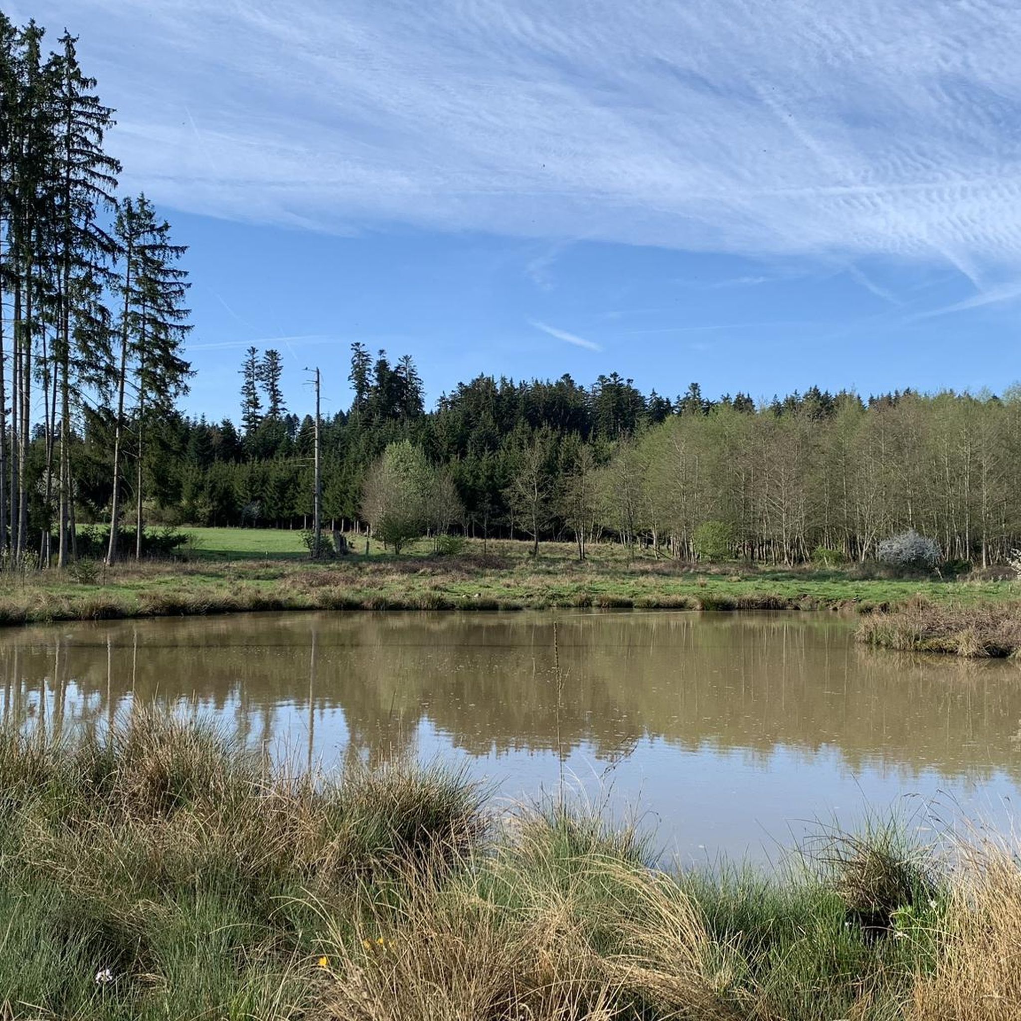
The most frequently asked question is where is the water? Shortly thereafter, it is back again and flows very sluggishly.
3
0
A natural phenomenon here in the Danube Valley. A dry riverbed because the ground is karst and the riverbed has virtually no gradient.
3
0

The Danube, with a total length of 2857 kilometers, is the second longest river in Europe after the Volga and holds the world record for the most traversed states. As a mighty lifeline, the river connects the west with the east of the continent.
0
0

Here begins the tunnel for the Danube
0
0

Pfohren is located just a few kilometers downstream from Donaueschingen. While the symbolic source of the Danube is located in the castle park in Donaueschingen, the two source rivers, Brigach and Breg, merge near Pfohren. The well-known saying goes: „Brigach und Breg bringen die Donau zuweg.“
0
0


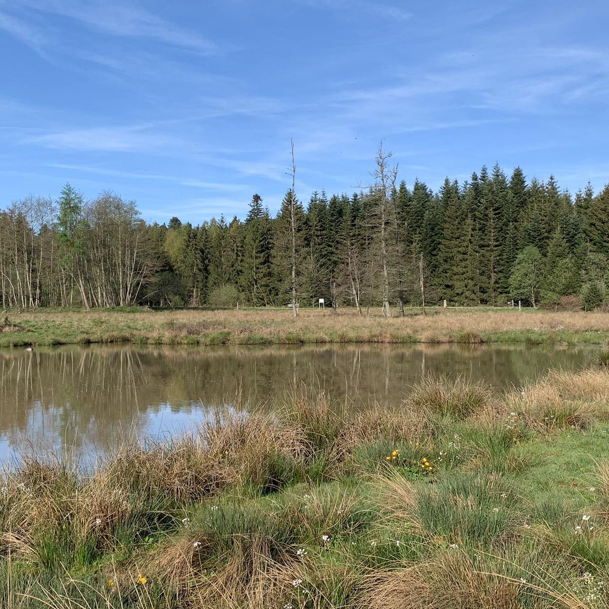
The young Danube is very idyllic
0
0

Very well-maintained cycle path through nature, simply breathtaking.
0
0
Frequently Asked Questions
How many touring cycling routes are available around Tuningen?
There are over 50 touring cycling routes available around Tuningen, offering a wide variety of options for different skill levels and preferences. The region is well-suited for exploring the Baar plateau and the eastern edge of the Black Forest by bike.
What is the best time of year for touring cycling in Tuningen?
The most popular time for touring cycling in Tuningen is during the months of July and August. The weather conditions during this period are generally ideal for exploring the diverse landscapes of the Baar plateau and the Black Forest foothills.
What kind of terrain can I expect on touring cycling routes around Tuningen?
You can expect a varied terrain around Tuningen. Routes feature mostly paved surfaces for leisurely rides, but also include unpaved segments and significant elevation changes for more challenging paths. The landscape is characterized by the undulating Baar plateau and the initial inclines of the Black Forest.
Are there easy touring cycling routes suitable for beginners in Tuningen?
Yes, Tuningen offers a good selection of easy touring cycling routes. For instance, the Michaelskirche Tuningen – Junction 31 Tuningen loop from Tuningen is an easy 7.8-mile (12.6 km) trail that passes by the notable St. Michael's Church. Another easy option is the Lake Sunthauser – Sunthauser Lake Campsite loop from Tuningen, which is 12.7 miles (20.4 km) long and takes you through the picturesque Lake Sunthauser area.
Are there challenging touring cycling routes for experienced cyclists in Tuningen?
Absolutely. For experienced cyclists seeking a challenge, there are 13 difficult routes available. An example is the View of the Hegau – View of the Hegau near Stetten loop from Tuningen, a demanding 31.4-mile (50.5 km) route with significant elevation changes.
What natural features can I explore on a touring bike around Tuningen?
Cyclists can explore several natural features, including loops around Lake Sunthauser and routes leading towards the Source of the Danube. The region also offers views of the Black Forest foothills and the scenic Baar plateau. You might also encounter the Schwenninger Moor or the Confluence of the Brigach and Breg rivers to form the Danube.
Are there any historical or cultural landmarks to see while cycling near Tuningen?
Yes, you can incorporate cultural stops into your cycling excursions. The local History Trail offers insights into heritage, and the Museum of Local History provides a deeper dive into the area's past. The Michaelskirche Tuningen – Junction 31 Tuningen loop from Tuningen passes by St. Michael's Church. Further afield, you can visit Villingen Old Town (Historic Centre).
Are there circular touring cycling routes available from Tuningen?
Many of the touring cycling routes around Tuningen are designed as loops, allowing you to start and end in the same location. Examples include the Karpfenteich Talheim – View of Hohenkarpfen loop from Tuningen and the Hugo's Collection – View of the Black Forest loop from Weigheim.
What do other touring cyclists enjoy the most about touring cycling in Tuningen?
The touring cycling routes in Tuningen are highly rated by the komoot community, with an average score of 4.6 stars from over 190 reviews. Cyclists often praise the diverse terrain, from the undulating Baar plateau to the scenic Black Forest foothills, and the variety of routes catering to different ability levels.
Are there scenic viewpoints along the touring cycling routes in Tuningen?
Yes, several routes offer picturesque views. The Karpfenteich Talheim – View of Hohenkarpfen loop from Tuningen provides scenic vistas, including the Hohenkarpfen hill. You can also find stunning panoramas from the Himmelberg Summit and Shelter.
Where can I find places to rest or have a picnic along the routes?
While specific cafes and pubs along every route are not detailed, the region offers various spots for breaks. You can find facilities like the Pflanzschulhütte Picnic and Barbecue Area or the Shelter at Palast der Winde, which are great for a rest or a packed lunch.
Most popular attractions around Tuningen

Get inspired with the komoot mobile app


Explore more
Browse the best Cycling routes in other regions.
