The best walks and hikes in the Alps
4.5
(122822)
637,098
hikers
191,426
hikes
Hiking in the Alps offers a vast mountain range spanning multiple countries, characterized by high peaks, shimmering glaciers, and extensive alpine meadows. The region features deep gorges, dense forests, and numerous glacial lakes, providing diverse terrain for outdoor activities. This varied landscape supports a wide array of ecosystems, from rugged valleys to towering rock formations. The trails connect charming villages and mountain huts, catering to various hiking experiences.
Best hiking trails in the Alps
- The most popular hiking route is Tre Cime di Lavaredo Loop, a 6.2 miles (10.0 km) trail that takes 3 hours 25 minutes to complete. This moderate route offers iconic views of the Dolomites' distinctive rock formations.
- Another top favourite among local hikers is Eibsee Loop Trail, an easy 4.4 miles (7.1 km) path. This route provides scenic lake views and gentle terrain suitable for a leisurely walk.
- Local hikers also love the Pragser Wildsee (Lago di Braies) Loop Trail, a 2.5 miles (4.1 km) trail leading through picturesque lake scenery and forest paths, often completed in about 1 hour 8 minutes.
- Hiking in the Alps is defined by majestic mountains, shimmering glaciers, and vast alpine meadows. The extensive network of trails offers options for various ability levels, from easy strolls to challenging multi-day treks.
- The routes in Alps are highly rated by the komoot community with an average score of 4.6 stars from more than 168,000 reviews. More than 936,000 hikers have used komoot to explore Alps's varied terrain.
Last updated: August 31, 2026
4.8
(7853)
41,379
hikers
7.10km
01:54
80m
90m
Embark on an easy hike around the stunning Eibsee Loop Trail, a picturesque route that offers continuous views of Lake Eibsee's crystal-clear waters and its charming small islands. This 4.4-mile (7.1 km) path is generally flat and well-maintained, making it accessible for most. You will gain a gentle 277 feet (84 metres) in elevation, and the entire loop typically takes around 1 hour and 54 minutes to complete. As you walk, you'll pass through dense forests, discover quiet bays, and cross wooden footbridges, with the majestic Zugspitze often reflecting beautifully on the lake's surface. Keep an eye out for the Kotbach Waterfall, adding to the trail's natural charm.
This easy loop is suitable for all fitness levels and families, providing a relaxed outdoor experience. You will find benches conveniently placed along the route for resting and enjoying the scenery. For refreshments, the Eibsee Hotel and Eibsee Pavilion restaurant are located at the start and end of the loop, offering a perfect spot to refuel. Consider visiting during the warmer months, from May to October, when you can also enjoy swimming and boating on the lake.
The Eibsee Loop Trail is renowned for its unique geological setting, nestled in the Wetterstein mountains. The lake itself is famous for its jewel-toned hues, which shift with the light, and the numerous small islands that dot its surface, creating a distinctive landscape. This trail stands out in the region for its combination of easy accessibility and dramatic alpine views, making it a popular choice for those seeking a tranquil yet visually rewarding outdoor adventure near Germany's highest peak.
4.8
(5364)
26,913
hikers
10.0km
03:25
340m
340m
Embark on the Tre Cime di Lavaredo Loop, a moderate hiking route that immerses you in the dramatic scenery of the Dolomites. As you hike, you'll witness panoramic views of jagged limestone peaks and rugged valleys, with the iconic Three Peaks constantly changing their appearance. The trail offers a particularly striking perspective of their famous northern faces from Forcella Lavaredo. This well-defined loop covers 6.2 miles (10.0 km) and involves an elevation gain of 1101 feet (335 metres). Most hikers complete it in about 3 hours and 25 minutes, making it a rewarding half-day adventure. Along the way, you will pass several mountain huts, with Rifugio Locatelli offering a privileged viewpoint of the Tre Cime.
To plan your visit, consider that this trail is located within Tre Cime Natural Park. While specific details on trailhead access, parking, or permits are not provided here, it is always wise to check local regulations before you go. Ensure you are prepared for a moderate hike, bringing appropriate gear and sufficient water. Checking weather conditions beforehand is also recommended to ensure a safe and enjoyable experience.
This route is considered one of the most popular trails for experiencing the Dolomites, drawing hikers from around the world. Its consistent dramatic scenery and the opportunity to see the iconic Three Peaks from multiple angles make it a standout. The geological formations of the jagged limestone peaks are a defining feature of the region, offering a unique natural environment to explore.

Sign up for free
4.7
(3102)
17,320
hikers
6.38km
01:56
190m
190m
Embark on a moderate hike through the Partnach Gorge, where you will navigate paths carved into sheer rock walls with the river rushing below. The trail then ascends, opening up to expansive alpine scenery and views of the surrounding peaks. This loop covers 4.0 miles (6.4 km) and involves an elevation gain of 617 feet (188 metres), typically completed in about 1 hour and 56 minutes.
Begin your journey from the Garmisch Olympia Ski Stadium, following the clear path towards the gorge entrance. Although the route through the gorge is well-maintained, it is essential to wear sturdy shoes with good grip, as sections can be wet and slippery. On the return leg via Graseck, you will find opportunities for refreshment at various mountain farms and hotels.
This trail showcases the impressive geological forces that shaped the Partnach Gorge, a significant natural landmark in the region. The experience offers a unique blend of dramatic, enclosed canyon landscapes and the contrasting open vistas of the Bavarian Alps.
4.8
(3358)
13,263
hikers
8.84km
02:43
320m
320m
Embark on the Panorama tour around Puflatsch, a moderate hike spanning 5.5 miles (8.8 km) with an elevation gain of 1038 feet (316 metres), typically taking 2 hours and 42 minutes. This route guides you across wide alpine meadows and gentle hills, offering a constant 360-degree panorama of the Dolomites, including views of Val Gardena and the Schlern. You will encounter a mix of gravel, natural paths, and some paved sections, passing charming small wooden houses and, in summer, an abundance of wildflowers.
To begin your hike, head to Compatsch, the usual starting point for the Panorama tour. Keep in mind that private vehicle access to the plateau is restricted during certain hours, so you can reach Compatsch by the Seiser Alm Aerial Cableway or by bus. While there can be an initial steep ascent from Compatsch, you have the option to take the Telemix Puflatsch lift to bypass this section, making the rest of the trail relatively flat with occasional small climbs and descents.
This trail is celebrated for its unique features, including the mystical Witches' Benches (Hexenbänke), stone formations steeped in local folklore. You will also find the Engelsrast (Angel's Rest) viewing platform and Filln Cross, both offering outstanding vistas of the surrounding peaks. Along the way, you can stop at mountain huts like Tschötsch Alm or Arnika Hut for refreshments and to enjoy traditional Tyrolean cuisine amidst the stunning scenery.
4.7
(2051)
15,901
hikers
4.06km
01:08
70m
70m
Embark on an easy hike around Pragser Wildsee, a picturesque loop that takes you 2.5 miles (4.1 km) with a gentle elevation gain of 227 feet (69 metres). You can complete this scenic walk in about 1 hour and 8 minutes, enjoying the well-developed gravel path and occasional stone steps. The trail hugs the lake's edge, offering continuous views of its clear, green waters and the majestic Seekofel massif reflecting on the surface. As you hike, you'll find yourself moving between the shoreline and slightly elevated wooded sections, providing varied perspectives of this alpine gem.
Accessing the Pragser Wildsee loop is straightforward, with the trailhead conveniently located near the historic Hotel Lago di Braies. You will find information boards marking the start of your hike. Several parking areas, specifically P2, P3, and P4, are available for those arriving by car. Alternatively, public bus route 442 offers direct transport to the lake from nearby towns, making it accessible without a personal vehicle.
This iconic mountain lake is nestled within the UNESCO World Heritage Dolomites, specifically in the Fanes-Senes-Braies natural park. The route is known for its pristine mountain scenery and the perfect reflections visible on the water, making it a popular destination for hikers worldwide. Along the way, you can find nice seating areas for picnics and sunny lawns to relax and take in the views.
4.8
(2707)
10,236
hikers
7.18km
02:13
250m
250m
Embark on the Bullaccia Loop Trail, a moderate hike that immerses you in the stunning Alpe di Siusi, part of the Italian Dolomites. This 4.5-mile (7.2 km) route features an elevation gain of 817 feet (249 metres) and typically takes about 2 hours and 13 minutes to complete. As you hike, you'll be treated to incredible 360-degree panoramic views of majestic peaks like Sciliar and Sassolungo, winding through vibrant alpine meadows.
Before you head out, it's always a good idea to check local conditions, especially regarding weather or any potential closures. You'll find several welcoming mountain huts along the way, such as the Dibaita – Puflatsch Hut, perfect for a refreshing break or a meal. The Bullaccia Loop Trail is generally considered family-friendly, making it a great option for a day out in nature.
This trail is notable for its unique porphyry rock formations, known locally as the Witches' Benches, which are steeped in fascinating folklore. These distinctive geological features offer a special place to rest and soak in the expansive views of the surrounding landscape. The route provides a wonderful opportunity to experience the natural beauty and cultural heritage of the Sciliar-Catinaccio Nature Park.
4.8
(3419)
14,244
hikers
11.8km
04:43
630m
630m
Embark on a moderate 7.3-mile (11.8 km) hike through the dramatic Höllentalklamm, also known as Hell Valley Gorge, a journey that takes around 4 hours and 43 minutes to complete. You will experience a significant elevation gain of 2061 feet (628 metres) as you navigate well-maintained walkways, wooden bridges, and rocky steps, with paths etched into the gorge walls. The Hammersbach river roars through deep ravines, creating numerous waterfalls and showcasing magnificent turquoise waters. You will pass through electrically lit tunnels and along narrow cliffside ledges, offering a constantly changing and adventurous landscape. After exiting the gorge, the path opens up to reveal panoramic views of the Wetterstein mountains, including the towering Zugspitze, Waxensteine, and Riffelwände, especially as you approach the Höllentalangerhütte.
This trail is generally considered medium-difficult, requiring good fitness and sure-footedness. Sturdy, non-slip hiking shoes are essential, as sections within the Höllentalklamm can be wet and slippery, especially after rain. The initial approach from Hammersbach is an easy gravel path, but the gorge itself involves rocky steps and narrow ledges. While not technically difficult, it is less suitable for families with small children under six years old. The cool, moist climate within the gorge offers a refreshing experience, particularly on hot summer days.
The Höllentalklamm offers an immersive and thrilling journey, characterized by its rugged passages and unique tunnels carved into the rock. The Höllentalangerhütte, a modern mountain hut renovated in 2015, provides food, drinks, and overnight stays in a fantastic location. This hut also serves as a crucial base for more challenging alpine climbs, including the famous Höllentalroute to Zugspitze, Germany's highest mountain. The trail provides breathtaking views of the surrounding Bavarian Alps, culminating in the panoramic vistas from the hut.
4.7
(1798)
14,180
hikers
11.1km
04:05
310m
310m
Embark on Trail 215 to Lake Sorapis, a challenging hike that rewards your effort with stunning alpine scenery. This difficult route covers 6.9 miles (11.1 km) and involves a significant ascent of 1014 feet (309 metres), taking approximately 4 hours and 4 minutes to complete. You will traverse varied terrain, starting gently through meadows and pine forests before the path becomes rocky and exposed, featuring sections with metal stairs and fixed ropes as you approach the iconic Lake Sorapis.
Planning your visit requires good fitness and sure-footedness, especially for the exposed sections of the trail. Sturdy hiking shoes are essential, and some alpine experience is recommended due to the rocky terrain and fixed ropes. Remember that Lake Sorapis is only accessible on foot, which adds to its secluded charm and ensures a more pristine experience. Be prepared for a full day out, as the estimated duration is over four hours.
This hike leads you into the heart of the Parco Naturale delle Dolomiti d'Ampezzo, culminating at Lake Sorapis, renowned for its surreal, milky turquoise color. The lake's unique hue is framed dramatically by steep cliffs and the towering Punta Sorapis, making it a truly distinctive glacial lake. The effort to reach this natural wonder is well worth it, offering unparalleled views and a memorable experience in the Dolomites.
4.8
(2735)
9,754
hikers
16.4km
05:53
310m
990m
Hard hike. Very good fitness required. Sure-footedness, sturdy shoes and alpine experience required.
4.7
(2463)
9,253
hikers
11.4km
03:09
200m
200m
Embark on the Oytal circuit from Oberstdorf, a moderate hike through the picturesque Allgäu Alps. This 7.1-mile (11.4 km) route, typically completed in 3 hours and 8 minutes, offers varied terrain from asphalt to natural paths, winding through forests and open valley floors. You will experience magnificent mountain panoramas, with views of peaks like Mädelegabel and Trettachspitze, alongside crystal-clear streams and flower-filled meadows, creating a serene atmosphere.
Planning your visit is straightforward, as the starting point is easily accessible from Oberstdorf, often near parking or a short walk from the train station. While generally suitable for good fitness, some sections can be narrow or steep if you extend the hike to higher altitudes. The trail is enjoyable across seasons, from spring's roaring waterfalls to golden autumn days, and even offers enchanting winter scenery. Starting your hike early is recommended, as this popular route can get crowded later in the day.
A highlight of the Oytal circuit is the Oytalhaus, a mountain inn perfect for refreshments and local dishes, marking the transition to unpaved paths deeper into the valley. For a unique return, you can rent a mountain scooter from the Oytalhaus for an exciting descent back to Oberstdorf. You might also consider a short detour to the moorland pond, reachable in about 15 minutes from the Nebelhorn cable car station, known for its lush vegetation.
Get access to more routes and recommendations from other explorers.
Sign up for free
Already have an account?
Our route recommendations are based on thousands of hikes, rides, and runs completed by other people on komoot.
Start today with a free account
Your next adventure awaits.
Login or Signup
Popular around Alps

Alta Via n. 1 of the Aosta Valley — a walk among Italian giants
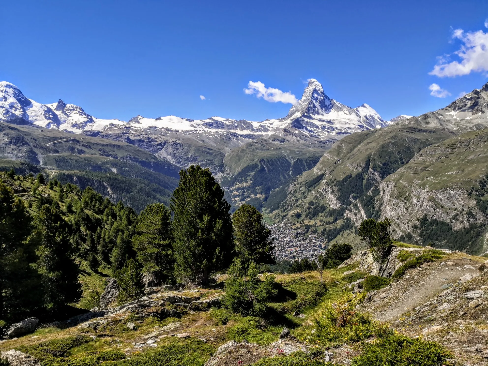
Walker's Haute Route – The ultimate alpine adventure
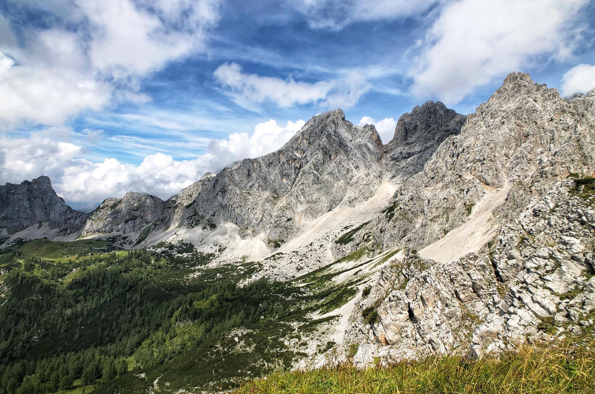
The Dachstein Rundwanderweg – Eight days in the Dachsteingebirge
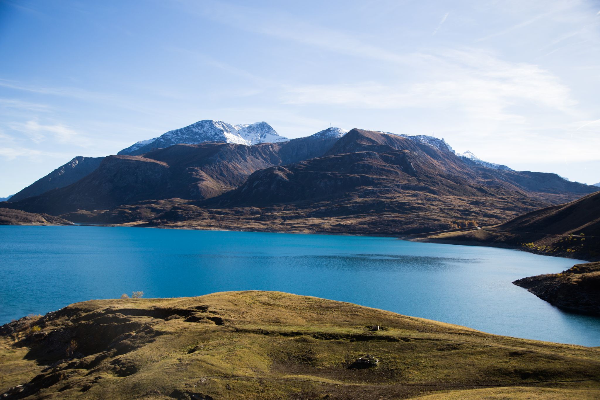
Historic and spiritual trails in the province of Torino
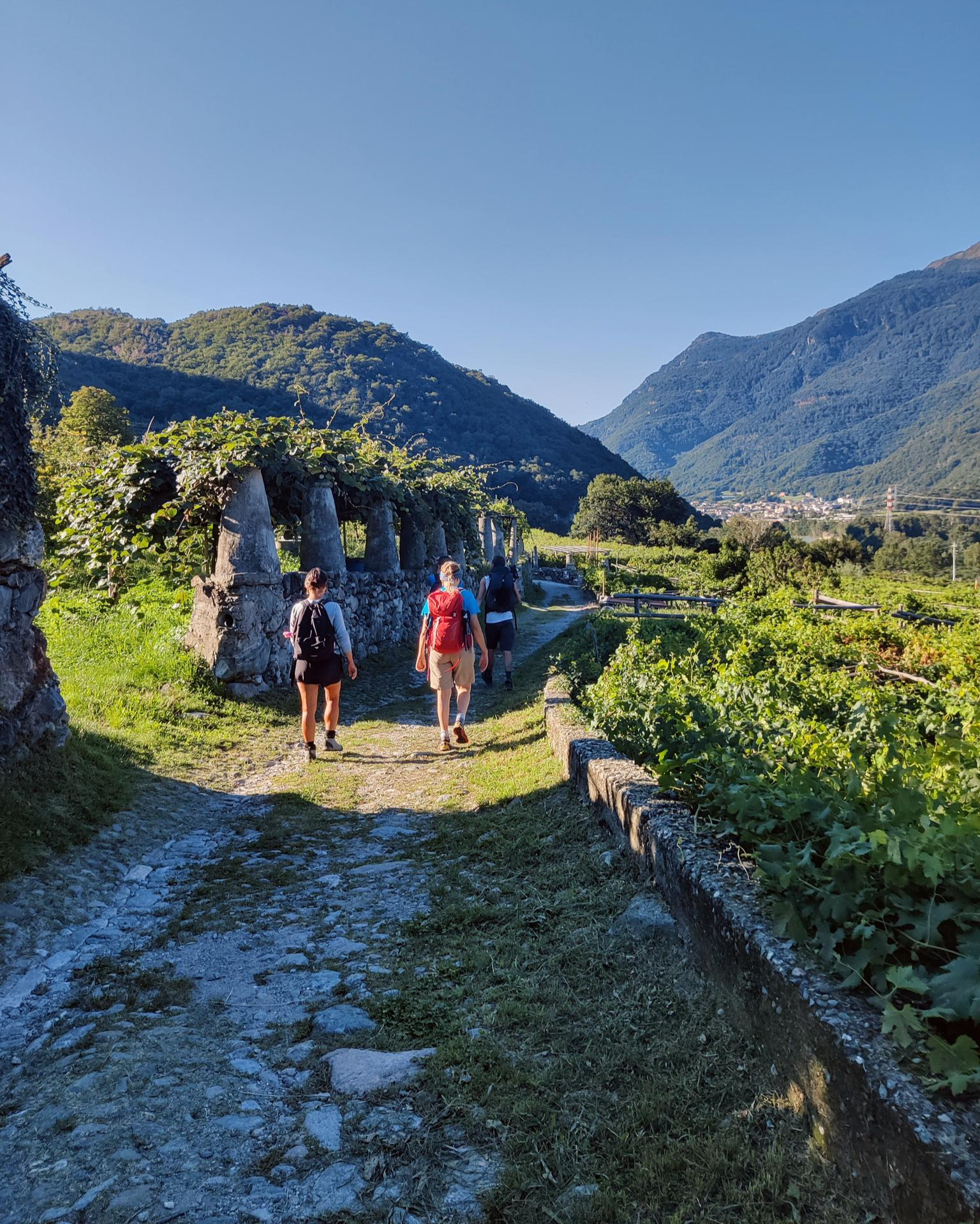
Piemont's Via Francigena
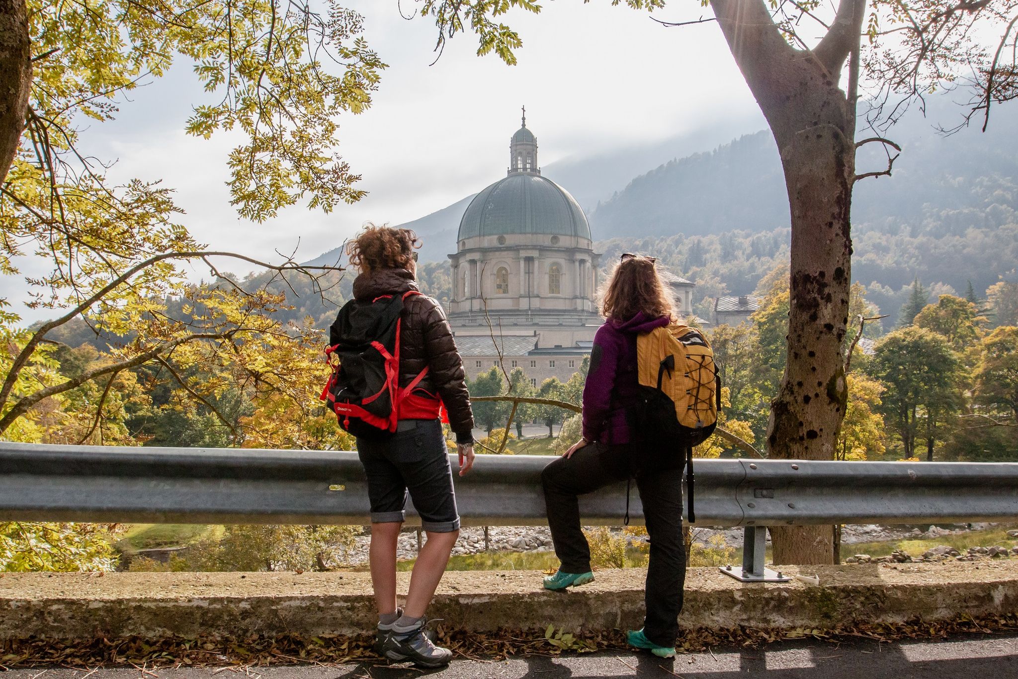
Cammino di Oropa della Serra — Hiking to one of Italy's Holy Mountains
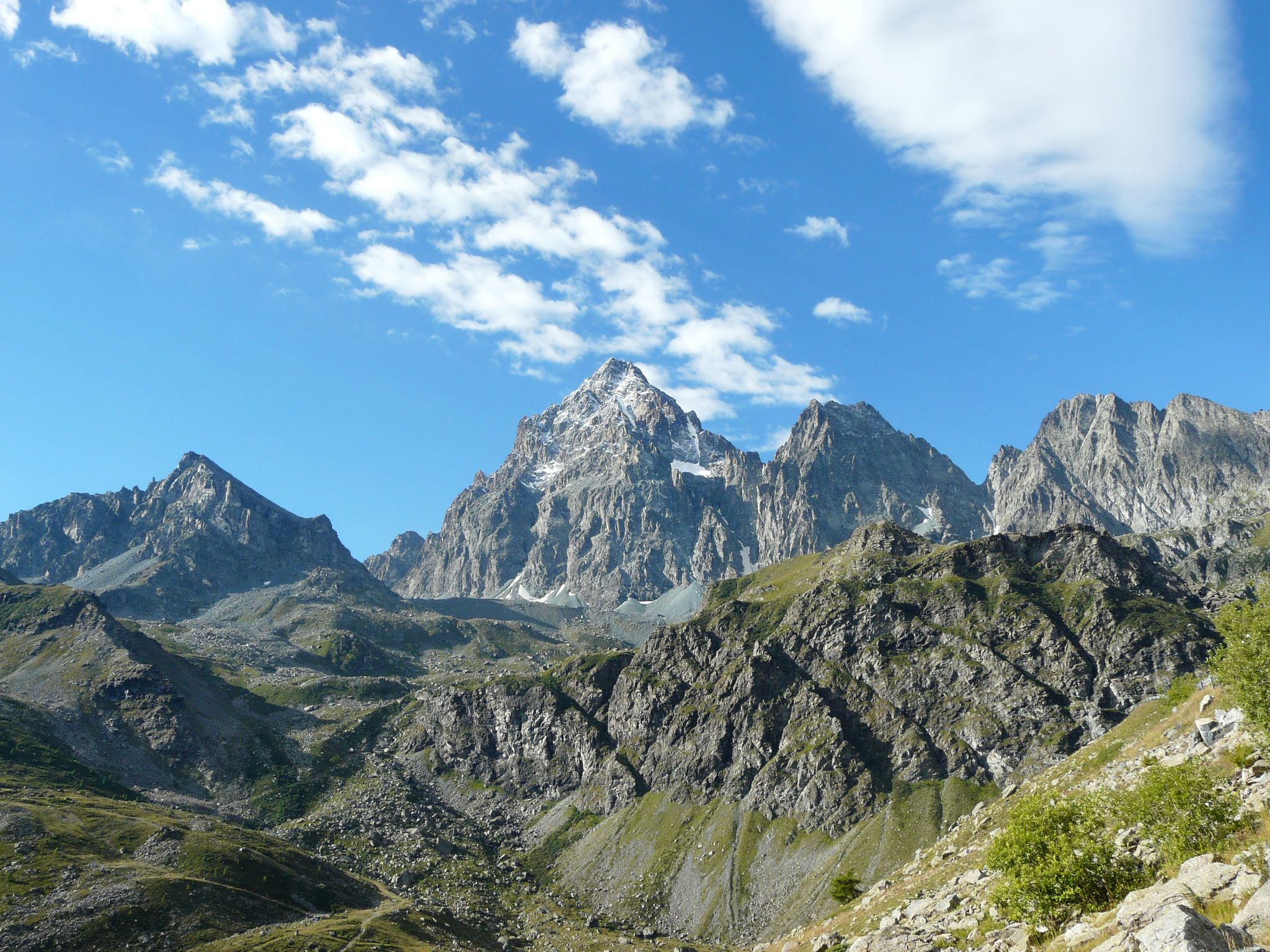
Tour di Viso – Four days around the Stone King from Castello
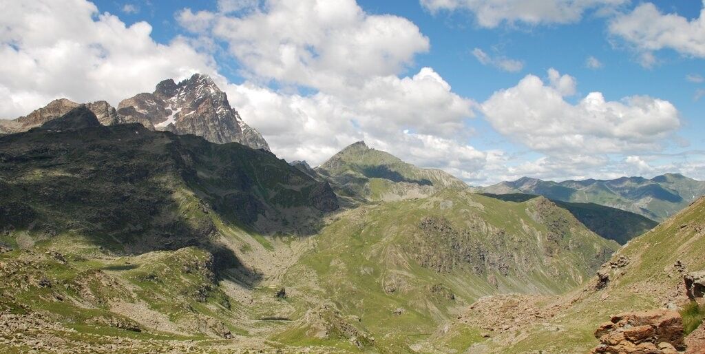
Tour di Viso – Four days around the Stone King from Meire Dacant
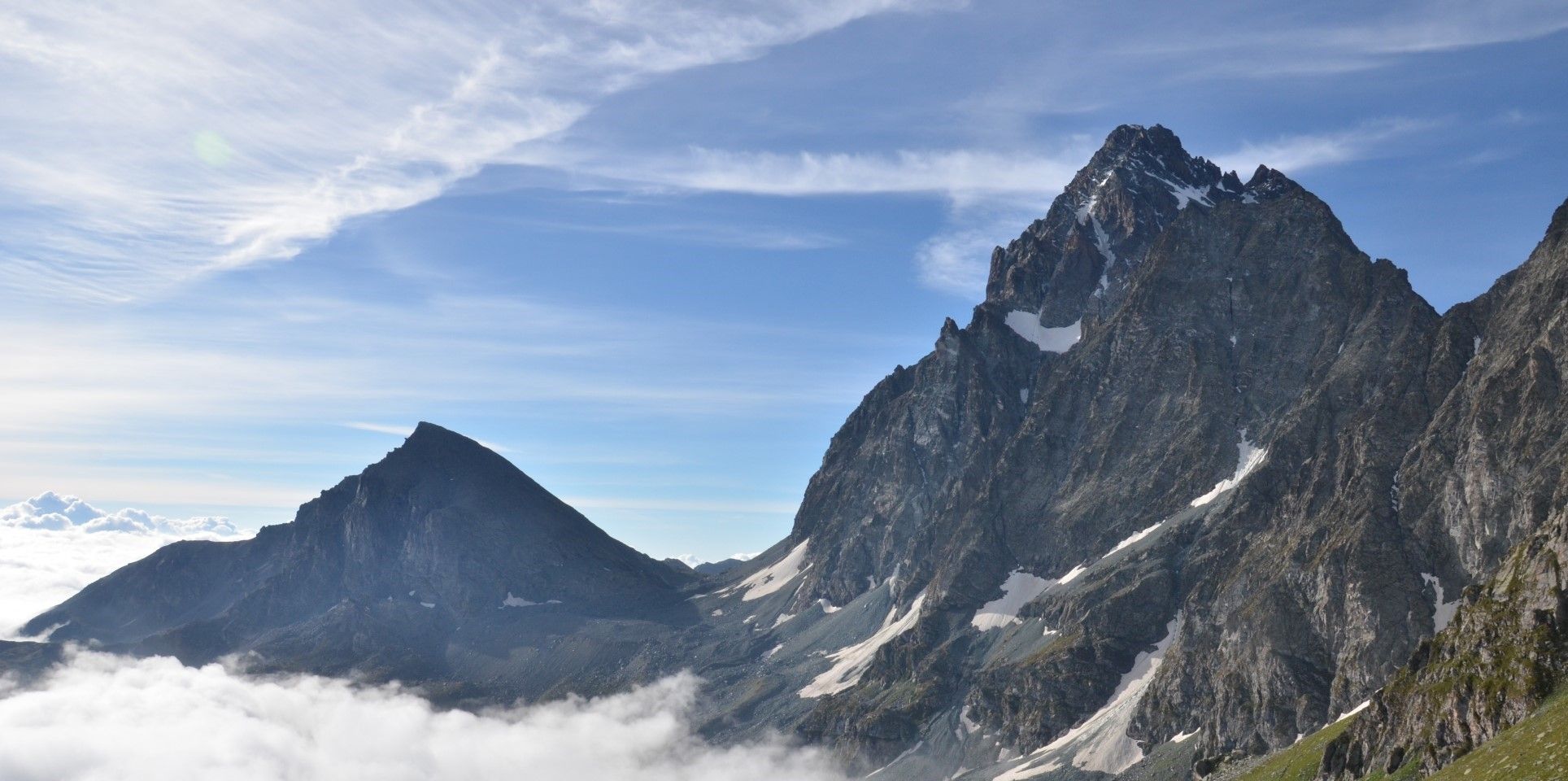
Viso Tour from Castello (variant) – Three days around the Stone King
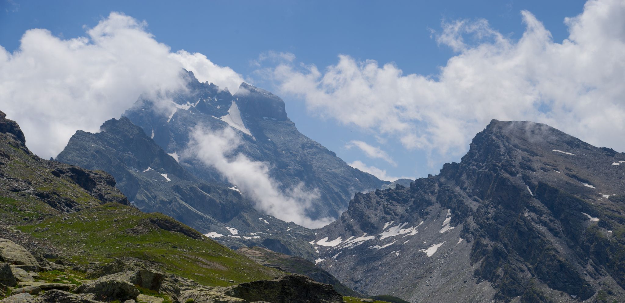
Tour di Viso from Pian del Re – Three days around the Stone King
Other adventures in the Alps


Tips from the Community

Attention, we have to wait outside 🚗 There is a large parking lot directly at the Vilsalpsee. It is located about 4 kilometers from the town center. However, this access is time-limited for private traffic! From 10 a.m. to 5 p.m., access to the Vilsalpsee is prohibited. Previously, there was a traffic sign on the road prohibiting access. Since this apparently didn't work so well, a barrier was erected. So it is now technically impossible and you can only drive to the Vilsalpsee with your car before 10 a.m. or after 5 p.m.
0
0

The hotel at Lake Braies, officially known as the Hotel Lago di Braies, is a historic Art Nouveau building located in an exclusive and idyllic location directly on the lake's shore. It lies in the heart of the Fanes-Sennes-Braies Nature Park and has been owned by the same family for generations. The hotel opened in 1899, commissioned by tourist Eduard Hellenstainer. In April 1945, the hotel was the scene of a historic event: high-ranking SS hostages were housed here after their liberation. Documents relating to this incident are collected in the hotel's contemporary history archive.
1
0

The Seisser Alm belongs to the Schlern-Catinaccio Nature Park and offers magnificent views of the Dolomites and many Alpine peaks
0
0

A very beautiful view and impressive carvings
1
0

Once you arrive at the lake, I recommend walking around a bit and climbing a little further up behind the lake on the left, where you can see the lake and the mountains behind it much better.
1
0

The Lavaredo Hut is located at an altitude of approximately 2,344 meters at the foot of the Three Peaks. It is a popular stopover on the classic circular trail around the peaks and can be reached from the Auronzo Hut in less than half an hour on foot. The terrace offers a striking panorama of the north faces of the Three Peaks and the surrounding Dolomite peaks.
39
0
A P4 parking ticket can be purchased at the ticket counter on-site. (Cars: €15 for 3 hours, after 3 hours, surcharge after 3 hours: 50 cents for 30 minutes, €30 for 24 hours)
18
0

Even from the gondola, you can imagine the beautiful view over Tannheim you will have once you reach the Neunerköpfle.
0
0
More Information
When to hike in the Alps
You can enjoy hikes in the Alps all year round, with low valleys in winter often remaining snow-free. Exploring the beautiful trails on the slopes is magical when snow is heaped up by the side and waterfalls flow past icicles. With sensible footwear, a careful step and hiking poles, winter walking is stunning.
From late spring onwards, the Alps transform from a winter wonderland to the most spectacular, vibrant countryside imaginable. The true hiking season begins in May once the spring flowers have burst through the melting snow. Check ahead, as not all trails and huts will be open yet.
June and July see all walks in the Alps fully open and high season begins. With glorious sunny days, stunning mountain flowers and plenty of wildlife, summer in this phenomenal mountain range is unbelievably beautiful. Huts and villages get busy in August but the mammoth number of trails makes for peaceful walks.
September and October offer wonderful hiking weather with still-verdant routes and mostly stable weather.
Facilities and convenience in the mountains
One of the reasons why the best hiking trails in the Alps are so dearly loved is because they offer perfect conditions for hiking on every level. The Alps are well served by villages, towns and mountain huts in the valleys with plenty of huts open at altitude too. This means that you never need to carry a tent or sleeping bag if you don’t want to. Instead, get cosy in a mountain hut with a splendid view.
Similarly, it’s never hard to find a decent meal while trekking in the Alps thanks to the vast amount of historic villages, inns and alpine cafes awaiting hungry hikers. Hiking hut-to-hut is common and it’s wise to book ahead if you’re walking in a popular area or during high season. Inns tend to be more comfortable and akin to B&Bs.
Animals in the Alps
Hiking in the Alps doesn’t take you to nature so much as places you right in the midst of it. This huge mountain range is home to a wide array of amazing animals, from the sure-footed chamois goat to the elusive brown bear.
Keep an eye out for the long horns of ibex and an ear out for the barks of fluffy marmots. Vultures and eagles can be seen in the skies while wagtails and redstarts hop about on rocks and bushes. Late spring and summer bring an abundance of butterflies and bees to alpine meadows, filling the range with life.
Frequently Asked Questions
How many hiking trails are available in the Alps?
The Alps offer an extensive network of trails, with over 188,000 hiking routes recorded on komoot. This includes more than 53,000 easy trails, over 91,000 moderate routes, and more than 43,000 difficult treks, ensuring options for every skill level.
What is the best time of year to go hiking in the Alps?
The primary hiking season in the Alps typically runs from May to October. During these months, you can enjoy warmer weather, vibrant alpine scenery, and generally more accessible trails. Autumn also offers stunning foliage, though higher elevations may see early snow.
Are there family-friendly hiking options in the Alps?
Yes, the Alps have many trails suitable for families. For example, the Eibsee Loop Trail is an easy 4.4-mile (7.1 km) path offering scenic lake views and gentle terrain. Another great option is the Pragser Wildsee (Lago di Braies) Loop Trail, a picturesque 2.5-mile (4.1 km) route through lake scenery and forest paths.
Can I find circular hiking routes in the Alps?
Absolutely. Many trails in the Alps are designed as loops, allowing you to start and end at the same point. Popular examples include the Tre Cime di Lavaredo Loop, a moderate 6.2-mile (10.0 km) route with iconic Dolomite views, and the Partnach Gorge and Graseck Loop Trail, which combines a scenic gorge walk with forest paths.
What kind of natural attractions can I expect to see along the trails?
The Alps are rich in natural beauty. You can explore stunning gorges like the Partnach Gorge or the Breitach Gorge. Many trails also lead to breathtaking viewpoints, such as the View of the Wilder Kaiser from Ellmau or the View of the Sassolungo Group. The region is also known for its shimmering glacial lakes and majestic peaks like Walmendinger Horn.
Are there any challenging multi-day hikes for experienced trekkers?
Yes, the Alps are renowned for their challenging multi-day treks. While specific multi-day routes are not detailed here, the region offers extensive networks that connect mountain huts and villages, allowing for multi-day adventures. Trails like the Three Lakes Tour, though listed as a difficult day hike, showcases the kind of terrain and elevation gains common in longer alpine expeditions.
How accessible are the hiking trails by public transport?
Many areas within the Alps are well-served by public transport, including trains, buses, gondolas, and chairlifts, which can transport hikers to higher elevations or trailheads. This makes many stunning routes accessible even without a car, allowing for point-to-point hikes or reaching remote starting points.
What do other hikers say about the trails in the Alps?
The hiking trails in the Alps are highly regarded by the komoot community, with an average rating of 4.6 stars from over 168,000 reviews. Hikers frequently praise the well-maintained paths, the diverse landscapes ranging from rugged peaks to serene lakes, and the clear signage that makes navigation straightforward.
Are there any hikes that feature gorges or dramatic rock formations?
Certainly. The Alps are famous for their dramatic geological features. You can hike through impressive gorges like the Höllental Gorge or the Leutasch Ghost Gorge. The Dolomites, in particular, are known for their unique, towering rock spires, which you can experience on routes such as the Tre Cime di Lavaredo Loop.
Are there options for easier, less strenuous walks?
Yes, the Alps cater to all fitness levels. Beyond the challenging alpine routes, there are numerous easy walks, often around lakes or through lower valleys. The Eibsee Loop Trail and the Pragser Wildsee (Lago di Braies) Loop Trail are excellent examples of easy, scenic routes perfect for a leisurely stroll.
What kind of wildlife might I encounter while hiking?
The diverse ecosystems of the Alps are home to a variety of wildlife. Hikers might spot alpine ibex, chamois, marmots, and various bird species, including golden eagles, especially in protected areas like national parks. The alpine meadows also burst with wildflowers during the summer months.
Are there mountain huts or places to stay overnight on longer trails?
Yes, the Alps have a well-established network of mountain huts (Hütten) that provide essential rest stops, meals, and overnight accommodation for hikers. These huts are often strategically located along multi-day routes, allowing trekkers to traverse vast areas without needing to carry full camping gear.
What is the typical elevation gain on Alps hikes?
Elevation gain varies significantly across the Alps, from gentle strolls with minimal ascent to strenuous climbs. For instance, an easy route like the Eibsee Loop Trail has an elevation gain of around 84 meters, while a moderate trail like the Tre Cime di Lavaredo Loop involves about 335 meters of ascent. More difficult routes can easily exceed 1000 meters of elevation gain.
Most popular routes in the Alps
Most popular attractions in the Alps

Get inspired with the komoot mobile app


Explore more
Browse the best Hikes in other regions.
