The best mountain hikes around Großweil
4.7
(1063)
10,473
hikers
116
hikes
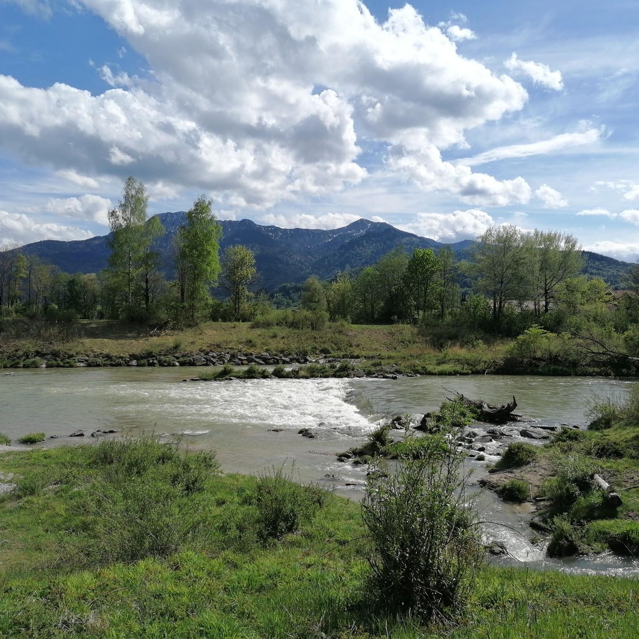
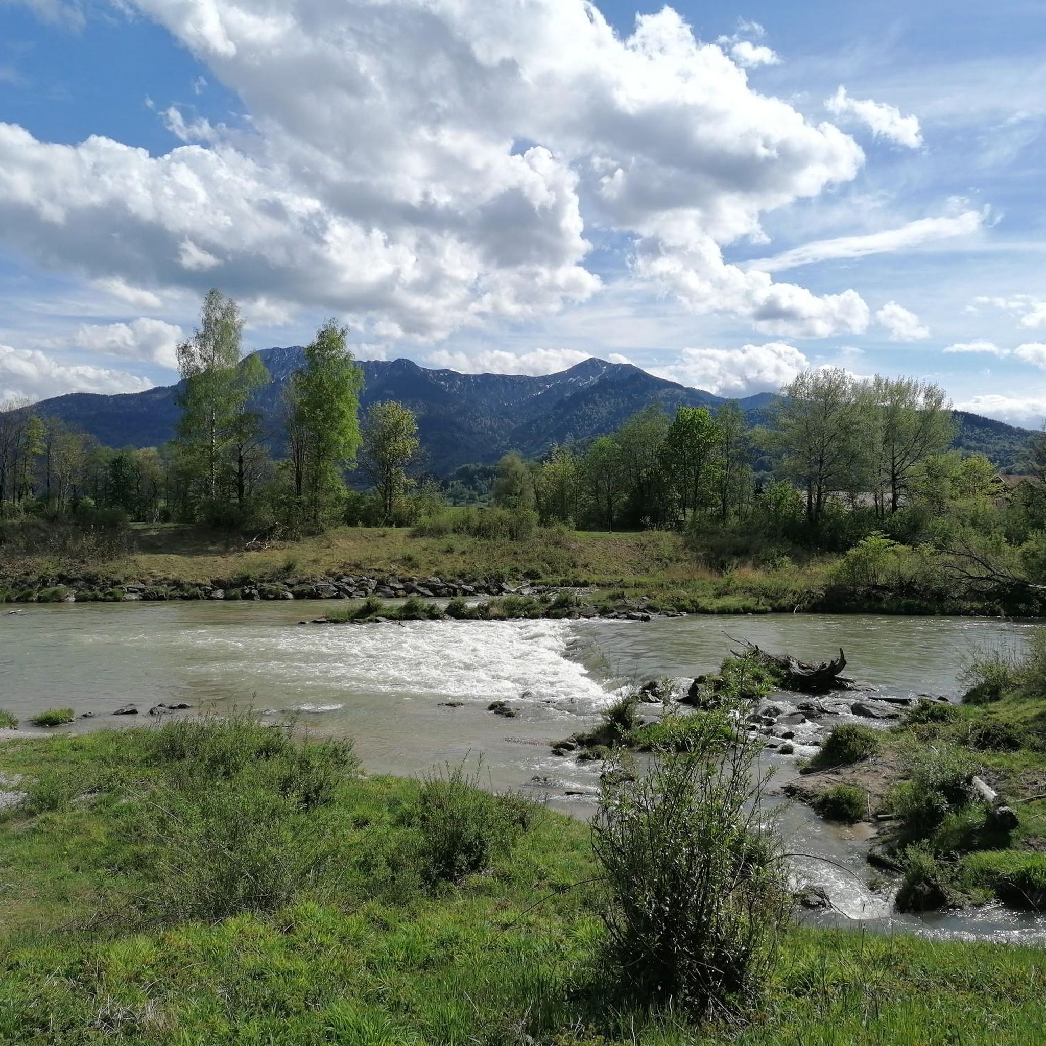
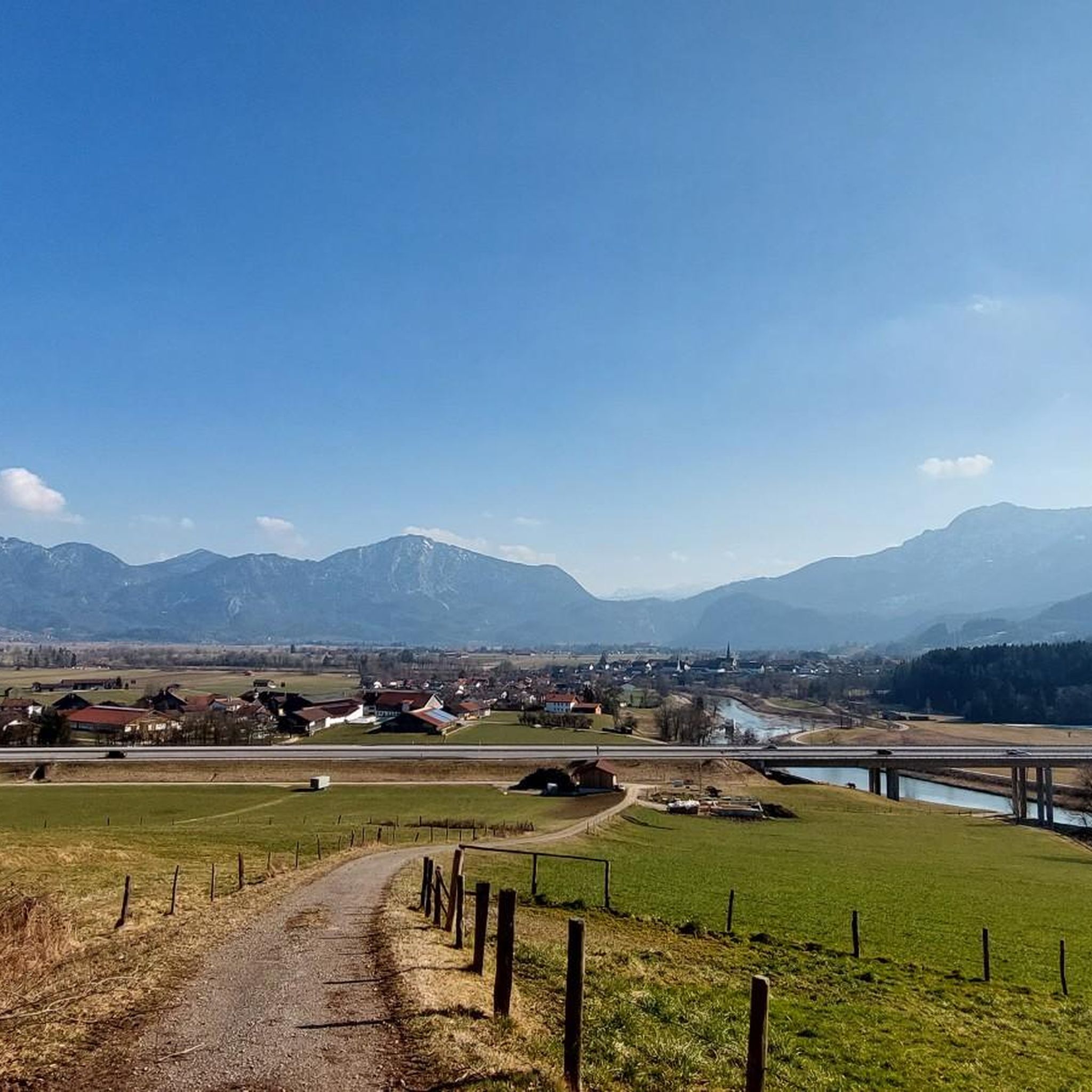
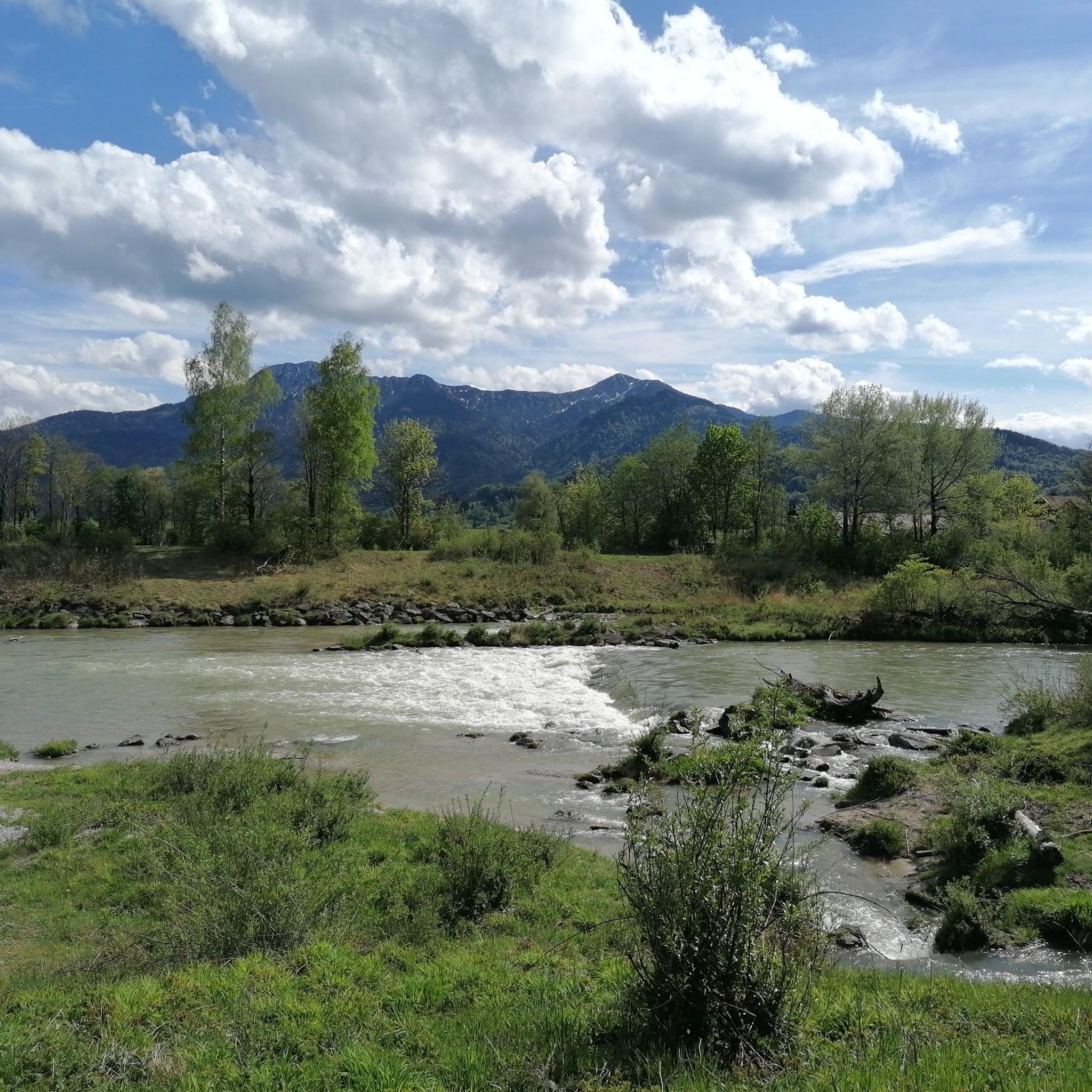
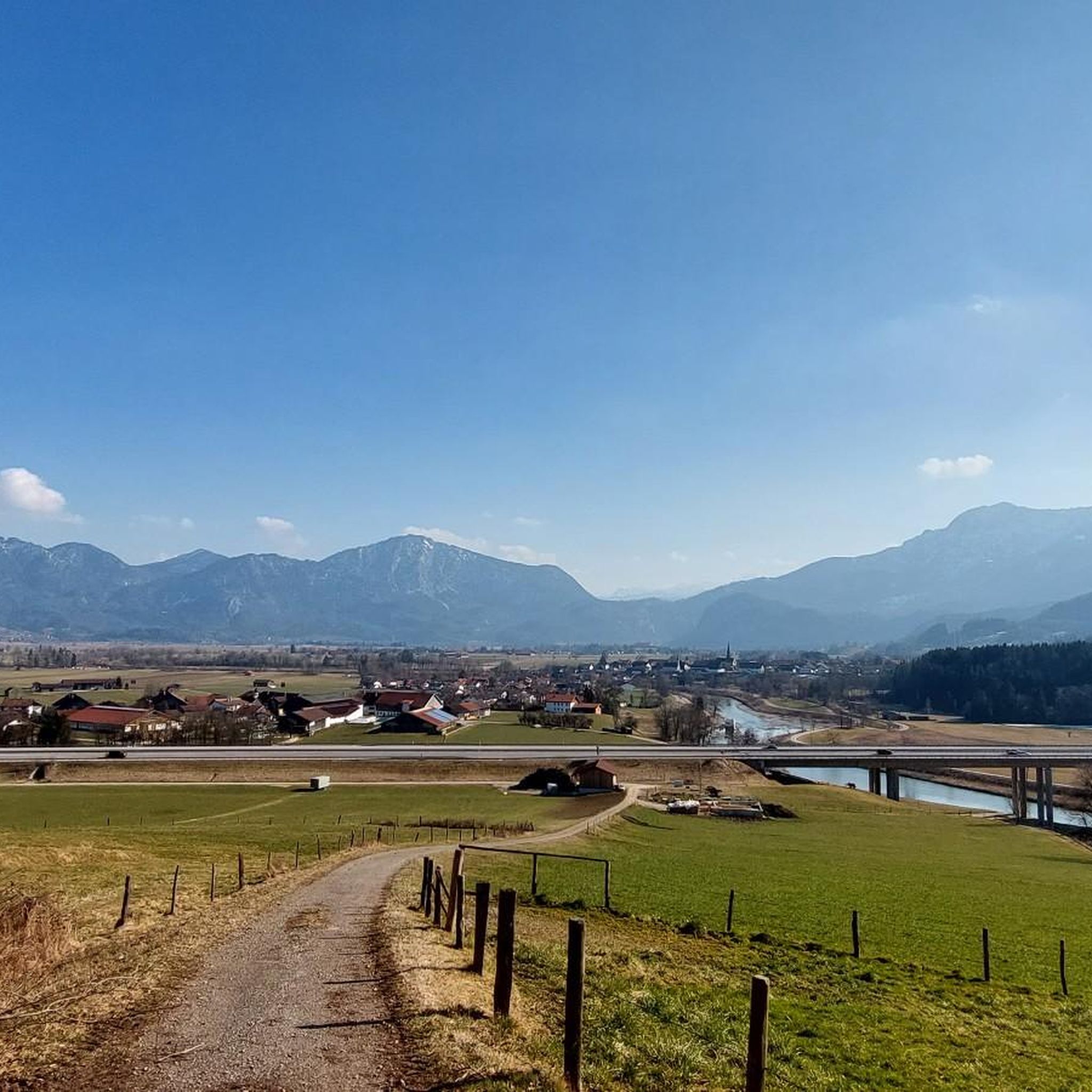
Mountaineering routes around Großweil are situated within the Bavarian Prealps, a region characterized by its diverse landscape of rolling hills, lush forests, and impressive mountain backdrops. The area provides access to challenging alpine treks and offers panoramic views, including glimpses of the distant Zugspitze. Several clear lakes, such as Walchensee and Kochelsee, enhance the scenic beauty from higher elevations. This setting makes Großweil a base for exploring varied mountain terrain.
Best mountaineering routes around Großweil
- The most popular mountaineering route is Rötelstein Summit – Wayside Shrine loop from Großweil, a 6.8 miles (10.9 km) trail that takes 4 hours 11 minutes to complete. This route offers significant elevation gain and rewarding views from the summit.
- Another top favourite among local mountaineers is Heimgarten–Herzogstand Ridge – Herzogstand summit (1,731 m) loop from Schlehdorf, a difficult 12.2 miles (19.6 km) path. This challenging ridge traverse provides extensive panoramic views of the Alps and surrounding lakes.
- Local mountaineers also love the Heimgarten Hut – Heimgarten Summit (1,790 m) loop from Schlehdorf, a 9.8 miles (15.8 km) trail leading through the Bavarian Prealps, often completed in about 6 hours 48 minutes.
- Mountaineering around Großweil is defined by the Bavarian Prealps, lush forests, and clear mountain lakes. The network offers options for various ability levels, from moderate ascents to challenging alpine treks.
- The routes in Großweil are highly rated by the komoot community with an average score of 4.8 stars from over 900 reviews. More than 10,000 mountaineers have used komoot to explore Großweil's varied terrain.
Last updated: October 5, 2026
4.5
(6)
61
hikers
11.1km
04:14
550m
550m
Hard mountaineering route. Good fitness required. Sure-footedness, sturdy shoes and alpine experience required.
4.8
(6)
60
hikers
12.9km
04:50
750m
750m
Moderate mountaineering route. Good fitness required. Mostly accessible paths. Sure-footedness required.

4.7
(3)
31
hikers
19.6km
07:46
1,100m
1,100m
Hard mountaineering route. Very good fitness required. Sure-footedness, sturdy shoes and alpine experience required.
5.0
(2)
21
hikers
12.7km
06:01
940m
940m
Hard mountaineering route. Very good fitness required. Sure-footedness, sturdy shoes and alpine experience required.
5.0
(2)
21
hikers
15.7km
06:48
1,130m
1,130m
Hard mountaineering route. Very good fitness required. Sure-footedness, sturdy shoes and alpine experience required.
Get access to more routes and recommendations from other explorers.
Already have an account?
Our route recommendations are based on thousands of hikes, rides, and runs completed by other people on komoot.
Start today with a free account
Your next adventure awaits.
Tips from the Community

Very narrow and challenging. Too difficult for me.
0
0

A beautiful panoramic view of Lake Walchensee and Lake Kochelsee. And of course, of the Herzogstand mountain.
0
0

Wonderful view in great weather
0
0
A great ridge with a fantastic view. In some places, you have to climb a bit.
0
0

Fantastic view of Lake Kochel.
0
0
On the ridge between Walchensee and Kochelsee, simply breathtaking!
2
0

Heimgarten The climb was tough, and the descent just as tough. But the panoramic view was worth it.
0
0

Technically fine ridge walk with ups and downs and lots of great views of the valley.
5
0
Frequently Asked Questions
How many mountaineering routes are available around Großweil?
Großweil offers a wide selection of mountaineering routes, with over 120 tours available. These range from moderate ascents to challenging alpine treks, catering to various skill levels.
Are there any easy mountaineering routes suitable for beginners in Großweil?
While many routes are challenging, there are a few easier options. For instance, the region offers 3 routes classified as easy, and 45 as moderate, providing good starting points for those new to mountaineering or looking for less strenuous options.
Can I find routes with waterfalls near Großweil?
Yes, the area features routes that include natural attractions like waterfalls. You could explore the Hinterer Lainbach Waterfall – Sonnenspitz summit loop from Kochel, which is a moderate 12.8 km tour, or the more challenging Hinterer Lainbach Waterfall – Rabenkopf Summit Cross loop from Kochel am See.
Are there any circular mountaineering routes around Großweil?
Many of the mountaineering routes in the Großweil area are designed as loops, allowing you to start and end at the same point. Examples include the Rötelstein Summit – Wayside Shrine loop from Großweil, or the longer Heimgarten Hut – Heimgarten Summit (1,790 m) loop from Schlehdorf.
What kind of views can I expect on mountaineering routes near Großweil?
The routes around Großweil, situated in the Bavarian Prealps, offer breathtaking panoramic views. You can expect glimpses of the distant Zugspitze, Germany's highest mountain, and stunning vistas of clear lakes like Walchensee and Kochelsee from higher elevations. Peaks like Herzogstand summit and Jochberg Summit are renowned for their expansive outlooks.
Are there any huts or places to stop for refreshments along the routes?
Yes, the region has several mountain huts where you can rest and get refreshments. Notable options include the Tutzinger Hut, Staffelalm, and Kotalm Mountain Hut, which are popular stops for mountaineers.
What is the best time of year for mountaineering in Großweil?
The Bavarian Prealps offer beautiful conditions for mountaineering from late spring through early autumn. Spring and autumn are particularly appealing for their vibrant colors and milder temperatures, with lakes like Staffelsee offering numerous viewpoints. Always check local weather conditions before heading out, especially for higher elevations.
What do other mountaineers say about the routes in Großweil?
The mountaineering routes around Großweil are highly regarded by the komoot community, with an average rating of 4.8 stars from over 900 reviews. More than 10,000 mountaineers have explored the varied terrain, often praising the challenging ascents and rewarding panoramic views of the Alps and surrounding lakes.
Are there any particularly challenging mountaineering routes for experienced climbers?
For experienced mountaineers seeking a significant challenge, the region offers numerous difficult routes. The Heimgarten–Herzogstand Ridge – Herzogstand summit (1,731 m) loop from Schlehdorf is a difficult 19.6 km path involving a challenging ridge traverse and extensive panoramic views, requiring good fitness and sure-footedness.
Can I reach the mountaineering routes using public transport?
Großweil and its surrounding areas are generally accessible, but specific public transport options to trailheads can vary. It's advisable to check local bus schedules or regional train connections to nearby towns like Kochel or Schlehdorf, which serve as starting points for several routes. From there, you might need to walk or arrange for local transport to reach the exact trailhead.
Are there any natural features or landmarks to look out for besides the mountains?
Beyond the impressive peaks, the region boasts significant natural features. The Murnauer Moos, one of Europe's largest contiguous moor and wetland areas, offers unique opportunities for nature observation. The Loisach River also flows through Großweil, adding to the natural charm. Additionally, the nearby Herzogstand summit provides views of the Walchensee and Kochelsee.
Most popular routes around Großweil
Most popular attractions around Großweil

Get inspired with the komoot mobile app


Explore more
Browse the best Mountain Hikes & Routes in other regions.
