The best running trails around Oberschöna
4.5
(680)
4,932
runners
19
runs
Jogging routes around Oberschöna are situated at the foot of the Ore Mountains in Central Saxony, Germany, offering diverse landscapes with accessible trails. The region is characterized by a network of paths, including forested areas like the Stadtwald, and features the meandering Chemnitz River. Elevation gains vary, providing options for different fitness levels.
Best jogging routes around Oberschöna
- The most popular jogging route is Forest Path Near Kleinschirma – Waldcafé Kleinschirma loop from Kleinwaltersdorf, a 3.1 miles (4.9 km) trail…
Last updated: October 11, 2026
32
runners
9.98km
01:07
140m
140m
Moderate run. Good fitness required. Mostly paved surfaces. Suitable for all skill levels.
18
runners
4.41km
00:29
90m
90m
Easy run. Great for any fitness level. Mostly paved surfaces. Suitable for all skill levels.

3.0
(2)
7
runners
8.77km
00:56
110m
110m
Moderate run. Good fitness required. Mostly paved surfaces. Suitable for all skill levels.
9
runners
20.4km
02:10
190m
190m
Hard run. Very good fitness required. Mostly paved surfaces. Suitable for all skill levels.
3.0
(1)
5
runners
11.7km
01:14
130m
130m
Moderate run. Good fitness required. Mostly paved surfaces. Suitable for all skill levels.
Get access to more routes and recommendations from other explorers.
Already have an account?
Our route recommendations are based on thousands of hikes, rides, and runs completed by other people on komoot.
Start today with a free account
Your next adventure awaits.
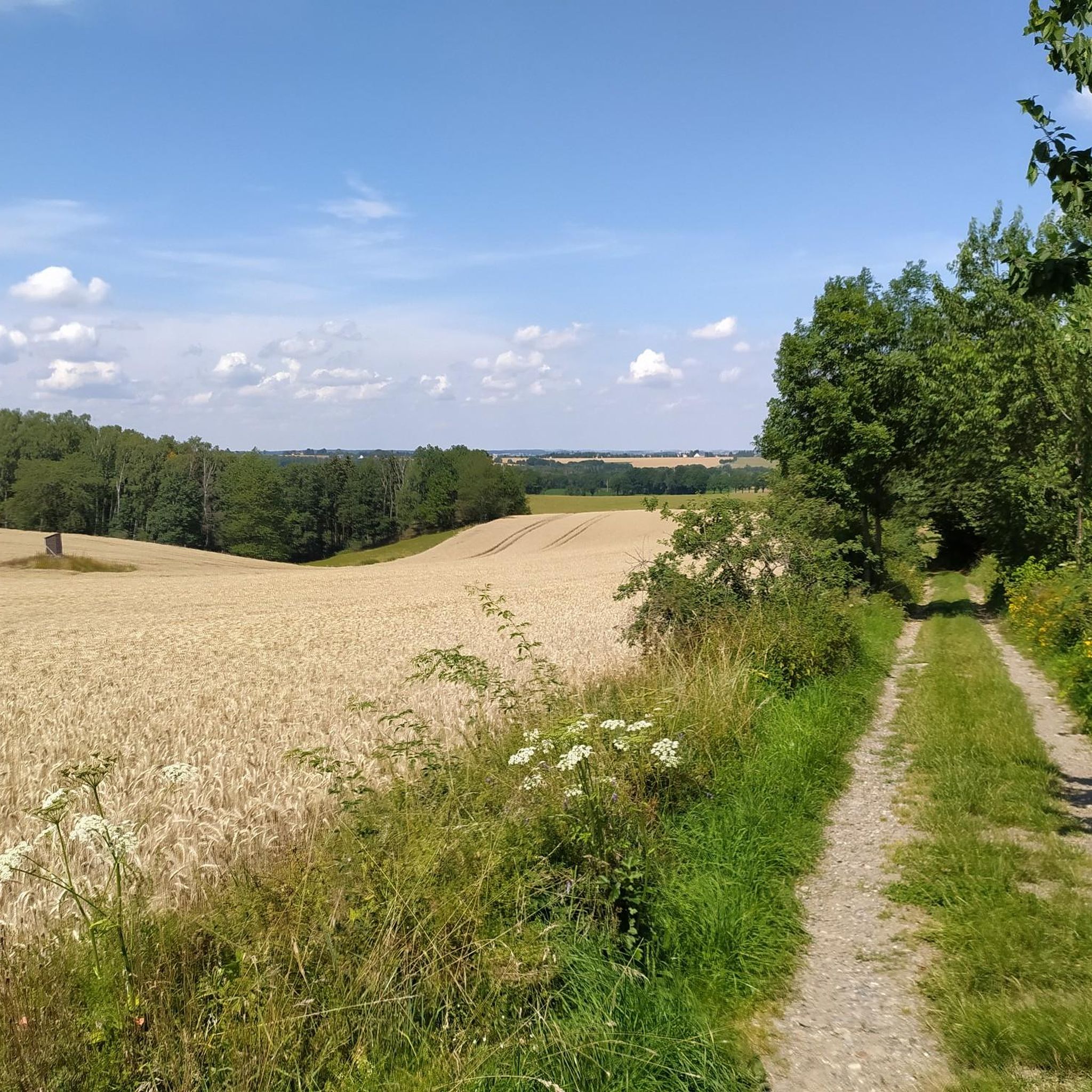
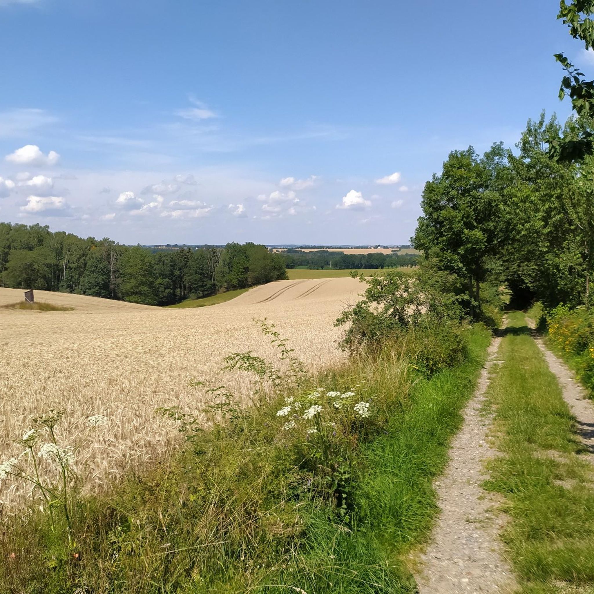
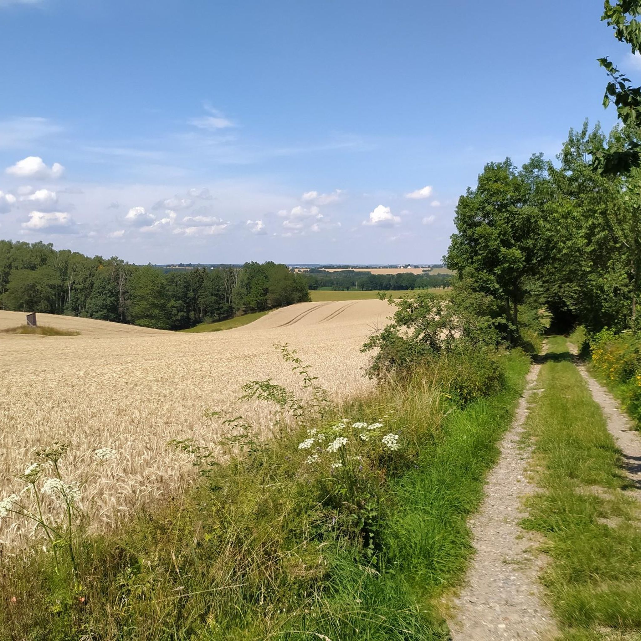

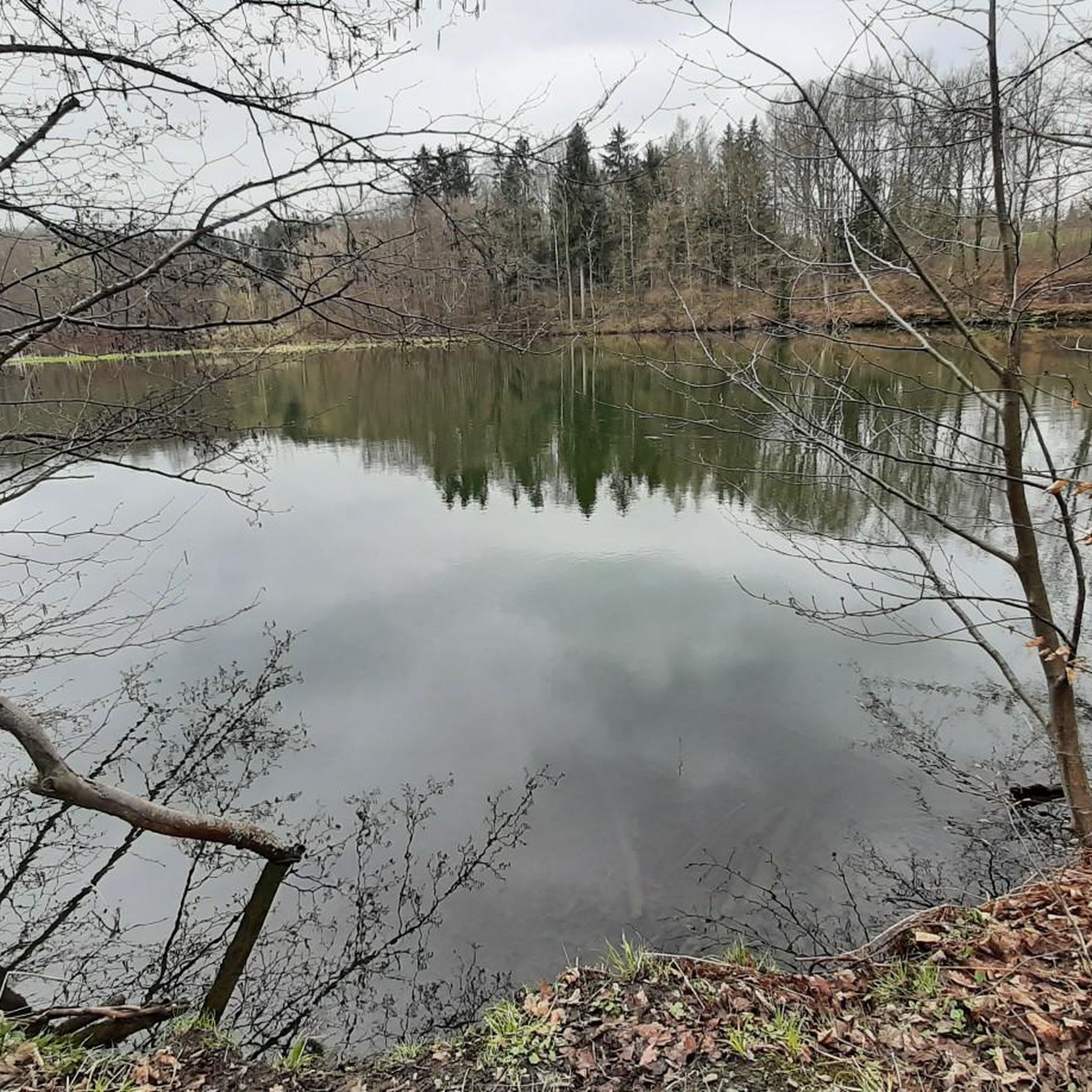
Tips from the Community

Large rest area with wooden benches - also suitable for groups.
0
0
Directly at the free hiking parking lot Striegistalstadion
1
0
Beautiful viewpoint overlooking the Striegis valley
1
0

The Bräunsdorfer water tower is a bit like a Rapunzel tower, which can be seen from afar as it stands in an open field 👍🏼. Unfortunately, it is now falling into disrepair. It is to be hoped that investment will be made and the tower will be preserved.
1
0

"The Royal Saxon Triangulation (here with its historical proper name) is a national survey carried out between 1862 and 1890 on the territory of the Kingdom of Saxony, with the simultaneous creation of a trigonometric network. The goal was to record the territory with scientific and geodetic precision and, by establishing permanently marked reference points, to create the basis for the production of accurate maps. The Großenhain baseline was chosen as the scale base." - https://de.wikipedia.org/wiki/K%C3%B6niglich-S%C3%A4chsische_Triangulirung The Bräunsdorf station on the Wäschberg is beautifully located in central Saxony at the transition from the Saxon Hills to the Ore Mountains. The panoramic view included the stations of Obergruna, Udohöhe, Sachsenburg, Reichenbachhöhe, Marbachhöhe, and Wetterhöhe.
2
0

The information from Katha is incorrect, the railway line still runs over the viaduct
0
0

Beautiful running route
0
0

great corner, always worth a trip
0
0
Frequently Asked Questions
How many running routes are available in the Oberschöna region?
Oberschöna offers a vast network of over 400 running routes, catering to various fitness levels. You'll find everything from easy, flat paths to more challenging trails with significant elevation changes.
Are there easy running paths suitable for beginners or a relaxed jog?
Yes, the region features over 60 easy running routes. A great option for a gentle jog is the Forest Path Near Kleinschirma – Waldcafé Kleinschirma loop from Kleinwaltersdorf, which is an easy 3.1-mile trail winding through pleasant forest.
What kind of terrain can I expect on the jogging trails around Oberschöna?
The terrain around Oberschöna is quite diverse, characterized by forested paths, the meandering Chemnitz River valley, and the foothills of the Ore Mountains. You'll encounter a mix of mostly paved paths, natural forest trails, and routes with varying elevation gains.
Are there any running routes that offer scenic viewpoints or interesting landmarks?
Absolutely! Many routes provide picturesque views of the surrounding landscape. For example, the Silberblick – Braunsdorf Water Tower loop from Bräunsdorf offers views towards the Braunsdorf Water Tower. Additionally, you might encounter natural monuments like the Rock Gallery Under the Autobahn Bridge or the Devil's Bridge rock formation along some trails.
Can I find circular running routes in Oberschöna?
Yes, many of the running routes in Oberschöna are designed as loops, offering convenient circular options. The Oberschöna Viaduct loop from Oberschöna is a moderate 5.4-mile circular route that allows you to start and finish at the same point.
Are there running trails suitable for families or those looking for a less strenuous experience?
Yes, Oberschöna has numerous family-friendly options. The easier routes, often through the Stadtwald forest or along the Chemnitz River, are generally well-suited for families. These paths tend to have less elevation and are often wider, providing a pleasant experience for all ages.
When is the best time of year to go running in Oberschöna?
The best seasons for outdoor activities, including running, in Oberschöna are typically from spring to autumn. During these months, the weather is generally mild, and the natural scenery is at its most vibrant, making for a very enjoyable experience.
Are there any running routes that pass by lakes or water features?
While the Chemnitz River meanders through the region, you can also find routes near beautiful lakes. The Oberwald reservoir, though not directly on a featured route, is a notable water body in the area. For specific lakes, you might explore highlights like Konstantinteich or Erzengler pond, which are part of the wider network of trails.
What do other runners say about the trails in Oberschöna?
The running routes in Oberschöna are highly rated by the komoot community, with an average score of 4.5 stars from over 500 reviews. Runners often praise the quiet woodlands, the variety of terrain, and the well-maintained paths that make for an enjoyable outdoor experience.
Are there running routes where I can stop for refreshments or a coffee?
Yes, some routes offer opportunities for refreshments. The Forest Path Near Kleinschirma – Waldcafé Kleinschirma loop from Kleinwaltersdorf, as its name suggests, passes by the Waldcafé Kleinschirma, providing a perfect spot for a break during or after your run.
Are the running trails in Oberschöna dog-friendly?
Many of the natural trails and forest paths in Oberschöna are suitable for running with dogs, provided they are kept under control, especially in areas with wildlife or other users. It's always a good idea to check local regulations and be mindful of other trail users.
Can I reach the running trailheads using public transport?
While specific public transport connections to every trailhead can vary, Oberschöna is part of Central Saxony, and some trailheads, particularly those closer to villages, may be accessible via local bus services. For routes starting further afield, like the Stadtwald Forest Paths – Waldbad loop from Fernesiechen, checking local transport schedules for connections to nearby towns is recommended.
Most popular routes around Oberschöna
Most popular attractions around Oberschöna

Get inspired with the komoot mobile app


Explore more
Browse the best Running Trails & Routes in other regions.
