Top 9 Mountain Passes around Lieuche
Mountain passes around Lieuche are situated in the Alpes-Maritimes department, an area known for its mountainous terrain and scenic natural sites. The village of Lieuche itself is located at approximately 880 meters, with Mont Lieuche rising to 1784 meters. This region offers challenging routes for hikers and cyclists, characterized by varied landscapes and well-marked trails. The proximity to features like the Gorges du Cians further enhances the area's appeal for outdoor activities.
Best mountain passes around Lieuche
- The most popular…
Last updated: August 19, 2026
The start of Col Saint-Martin
Highlight (Segment) • Mountain Pass
Translated by Google •
Tip by

Col de la Couillole
Highlight • Mountain Pass
Translated by Google •
Tip by

Sign up now to discover places like this
Get recommendations on the best single tracks, peaks, & plenty of other exciting outdoor places.
Sign up for free
Col du Raton
Highlight • Mountain Pass
Translated by Google •
Tip by

Col de Saint-Raphaël
Highlight • Mountain Pass
Translated by Google •
Tip by
Col de Sainte-Anne
Highlight • Mountain Pass
Translated by Google •
Tip by
Sign up for free to discover even more mountain passes around Lieuche.
Sign up for free
Already have an account?
Start today with a free account
Your next adventure awaits.
Login or Signup

Tips from the Community

The Col de Sainte-Anne is a pass at an altitude of 425 meters in the French department of Bouches-du-Rhône.
0
1
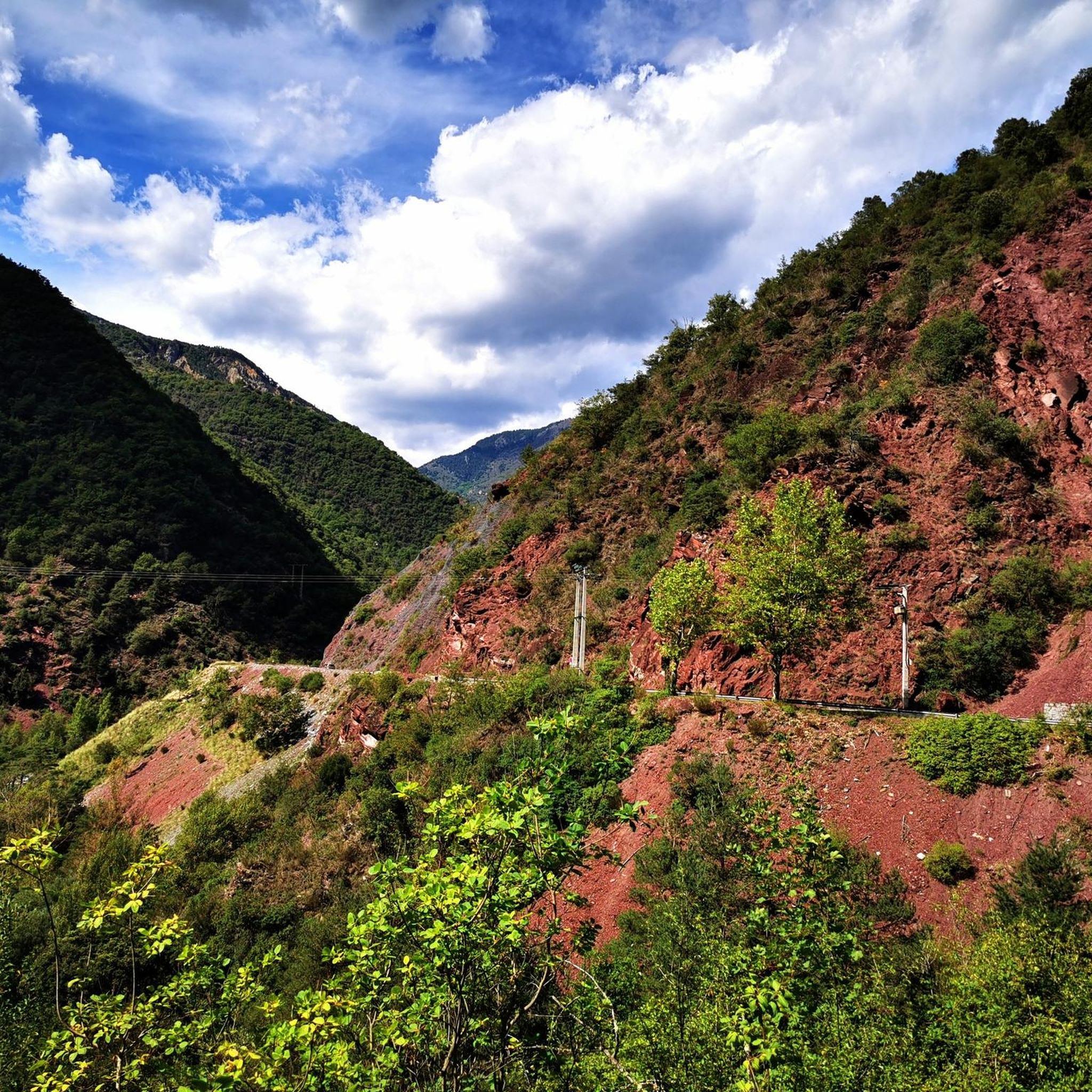
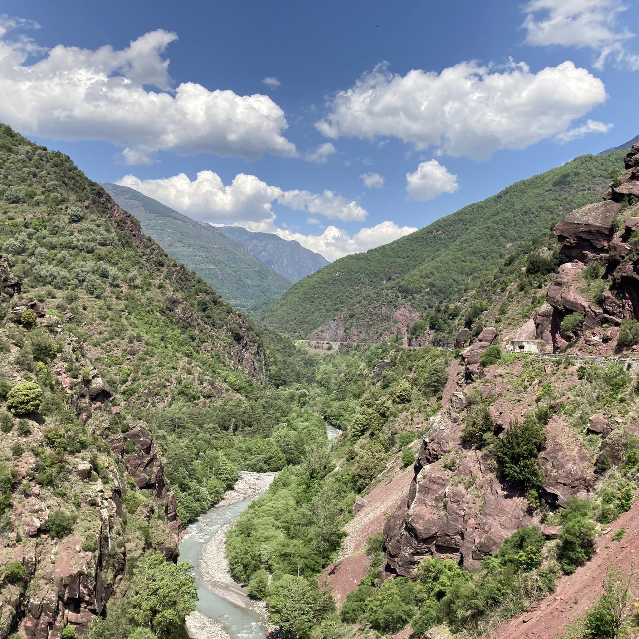
The Col de la Couillole is a mountain pass in the Massif du Mercantour-Argentera of the French Alps, situated at an altitude of 1,678 m (5,505 ft) in the Alpes-Maritimes department, France. The road connection is open for six to seven months of the year, allowing travel between the Cians gorges in the west and the Tinée valley in the east.
0
0
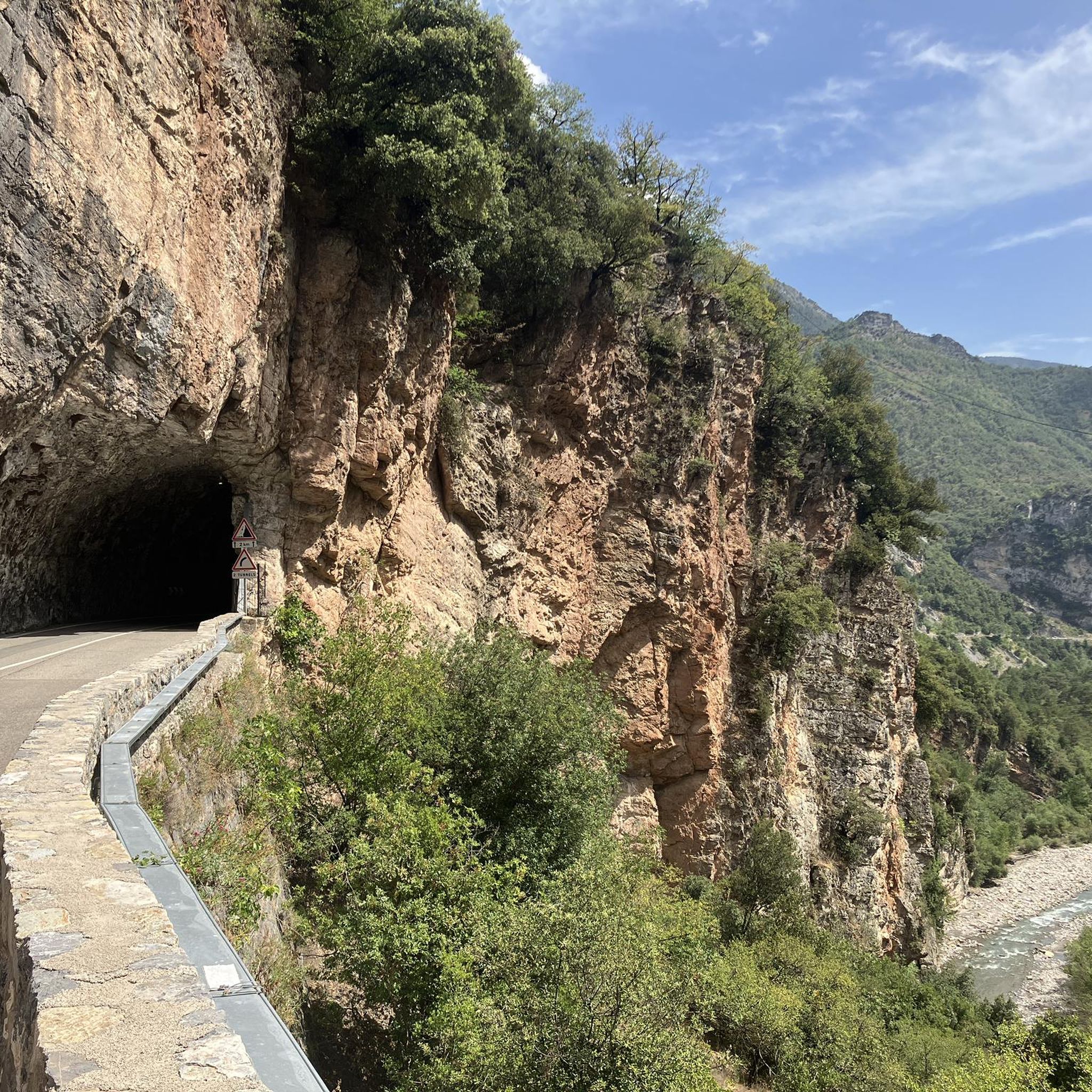
Col Saint Martin (el. 1500 m.) is a high mountain pass in the Alps in the department of Alpes-Maritimes in France.[1] It is traversed by the D-2205 highway.[2] The place has been crossed at the Tour de France road cycling race in 1973, 1975 and 2020, as well as at multiple editions of the Paris-Nice.
0
0

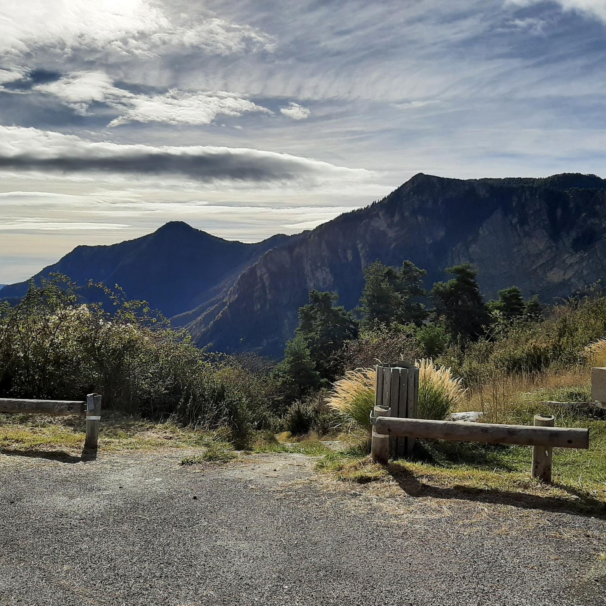
Nestled in the Southern Alps, the Col du Raton offers a wild and unspoiled route, perfect for mountain bike enthusiasts. Culminating at 1,686 meters, it crosses landscapes of steep mountains, pine forests and alpine meadows. The pass reveals breathtaking panoramas of the surrounding valleys, with a clear view of the neighboring peaks. The climb, although sporty, is rewarded by the raw beauty of nature.
1
0

Gateway to the Pre-Alps, from the Var valley. Superb view of the foothills of the Mercantour massif and the Var Valley.
2
0

The Col de la Couillole from Saint Sauveur sur tinee is 16km long with 1168m of elevation gain. The average gradient of the climb is 7.3% with maximum gradients of 9.3%.
3
0
The Col de Sainte-Anne is 3.9 km long with an elevation gain of 228 m and an average gradient of 5.8%.
2
0
The Col de St Raphael from Puget Theniers is 8km long with 465m of elevation gain. The average slope is 4.8%.
2
0
Frequently Asked Questions
What are some of the most appreciated mountain passes around Lieuche?
Visitors particularly enjoy Col du Raton, known for its wild and unspoiled route through steep mountains, pine forests, and alpine meadows. Another favorite is The start of Col Saint-Martin, which offers dramatic views into the Tinée Valley from a road boldly carved into the rock. Col de la Couillole is also highly rated, situated in the Massif du Mercantour-Argentera with a challenging climb and scenic views.
What kind of landscapes can I expect to see when exploring the mountain passes near Lieuche?
The region around Lieuche offers diverse and dramatic landscapes. You'll encounter steep mountains, dense pine forests, and open alpine meadows, especially around passes like Col du Raton. The roads are often carved into rock faces, providing deep views into valleys, such as the Tinée Valley from The start of Col Saint-Martin. Additionally, the nearby Gorges du Cians feature spectacular red cliffs carved by erosion, contrasted with green pines and blue water.
How challenging are the mountain passes and trails around Lieuche?
The area is known for offering challenging routes. For instance, the climb to Col de la Couillole from Saint Sauveur sur Tinée is 16 km long with 1168 meters of elevation gain and an average gradient of 7.3%. Col du Raton also involves a sporty climb. While some routes are demanding, there are also moderate options, such as the 'Exceptional panorama – Superb panorama loop from Col de la Sinne' for hiking.
Are there hiking trails near the mountain passes around Lieuche?
Yes, the region is rich in hiking opportunities. You can find challenging routes like the 'Tête de Perail – Rocks and views loop from Pierlas' or the 'Exceptional panorama – Superb panorama loop from Pierlas'. For a moderate option, consider the 'Exceptional panorama – Superb panorama loop from Col de la Sinne'. The 'Tour du Mont de Lieuche' is a classic hike known for its varied landscapes. For more details on hiking trails, visit the Hiking around Lieuche guide.
What cycling routes are available around Lieuche's mountain passes?
The area offers excellent road cycling routes, often incorporating the mountain passes. Popular options include the 'Col de la Couillole and Gorges du Cians Loop' and the 'Saint-Martin Pass (La Colmiane) – Saint-Martin-Vésubie loop from Rimplas'. These routes typically feature significant elevation gains and stunning scenery. You can explore more options in the Road Cycling Routes around Lieuche guide.
Can I find running trails near the mountain passes?
Yes, there are several running trails available, ranging in difficulty. For instance, you can find challenging routes like the 'Pointe des Quatre Cantons loop from Villars-sur-Var' or the 'Cime de Ballour loop from Rimplas'. The 'Roubion – Col de la Couillole (1,678 m) loop from Roubion' is another demanding option. For a comprehensive list of running trails, check the Running Trails around Lieuche guide.
Are there any family-friendly options for exploring the mountain passes?
While many routes in the Lieuche area are considered challenging, the 'Tour du Mont de Lieuche' is a well-marked classic hike that can be adapted for different levels. For less strenuous options, consider exploring the picturesque villages or the more accessible parts of the Gorges du Cians, which offer a 'Waterfall Trail' of moderate difficulty. Always check specific trail details for suitability for your family's experience level.
What is the best time of year to visit the mountain passes around Lieuche?
The road connection for passes like Col de la Couillole is typically open for six to seven months of the year, generally from late spring through early autumn. This period offers the most favorable weather conditions for hiking, cycling, and exploring the high mountain passes. Winter can bring snow, making many routes inaccessible or requiring specialized equipment.
Are there any unique natural attractions besides the passes themselves?
Absolutely. Just a few kilometers from Lieuche, you'll find the spectacular Gorges du Cians. These gorges are famous for their bright red cliffs, carved by erosion, which create a striking contrast with the green pines and blue river water. The 'Waterfall Trail' within the gorges is a must-do for its impressive views and natural beauty.
What are the typical road conditions on these mountain passes?
Road conditions vary. Passes like The start of Col Saint-Martin feature roads boldly carved into the rock, offering unique driving or cycling experiences. Col de Sainte-Anne is noted for its good road quality, leading towards the ski resort of Valbonne. Many routes offer panoramic views and are generally well-maintained during the open season.
Can I find viewpoints with panoramic vistas near Lieuche's mountain passes?
Yes, many of the mountain passes and surrounding trails offer superb panoramic viewpoints. Col du Raton provides breathtaking panoramas of the surrounding valleys and neighboring peaks. Col de Saint-Raphaël offers a superb view of the foothills of the Mercantour massif and the Var Valley. The roads themselves, like the one leading to The start of Col Saint-Martin, often provide deep, expansive views.
Most popular attractions around Lieuche

Get inspired with the komoot mobile app


Explore more
See even more epic mountain passes by checking out these guides around Lieuche:
