The best walks and hikes around Serra De Daró
4.6
(1045)
6,394
hikers
251
hikes
Hiking around Serra De Daró offers routes through a tranquil landscape characterized by flat terrain, gentle hills, and extensive agricultural fields. The region is shaped by the Daró river valley, featuring numerous small streams and ancient paths. This area serves as a gateway to diverse natural parks, including Montgrí Natural Park, providing varied hiking experiences. The low hills and cultivated fields create a rural environment for outdoor activities, with elevated perspectives of the Baix Empordà.
Best hiking trails around Serra De Daró
- The most popular hiking route is Montgrí Castle – View of the Cross of Montgrí loop from Torroella de Montgrí, a 3.1 miles (5.0 km) trail that takes 1 hour 52 minutes to complete, winding through varied terrain towards Montgrí Castle.
- Another top favourite among local hikers is Montgrí Castle Loop, a moderate 4.9 miles (7.9 km) path with an elevation gain of 1064 feet (324 meters).
- Local hikers also love the Montgrí Castle – Hermitage of Saint Catherine loop from Torroella de Montgrí, a 4.1 miles (6.6 km) trail leading through the Montgrí area, often completed in about 2 hours 21 minutes.
- Hiking around Serra De Daró is defined by tranquil rural paths, cultivated fields, and riverine plains. The network offers options for different ability levels, from easy loops to more challenging routes accessing nearby natural parks.
- The routes in Serra De Daró are highly rated by the komoot community with an average score of 4.6 stars from over 900 reviews. More than 6,000 hikers have used komoot to explore Serra De Daró's varied terrain.
Last updated: July 12, 2026
5.0
(5)
30
hikers
9.16km
03:00
270m
270m
Moderate hike. Good fitness required. Mostly accessible paths. Sure-footedness required.
5
hikers
6.55km
01:45
80m
80m
Easy hike. Great for any fitness level. Easily-accessible paths. Suitable for all skill levels.

Sign up for free
4.5
(2)
4
hikers
Moderate hike. Good fitness required. Easily-accessible paths. Suitable for all skill levels.
5
hikers
9.80km
02:37
110m
110m
Moderate hike. Good fitness required. Easily-accessible paths. Suitable for all skill levels.
5.0
(1)
3
hikers
8.86km
02:18
60m
60m
Moderate hike. Good fitness required. Easily-accessible paths. Suitable for all skill levels.
Get access to more routes and recommendations from other explorers.
Sign up for free
Already have an account?
Our route recommendations are based on thousands of hikes, rides, and runs completed by other people on komoot.
Start today with a free account
Your next adventure awaits.
Login or Signup

Tips from the Community

Very nice gravel, easily doable on a road bike.
0
0

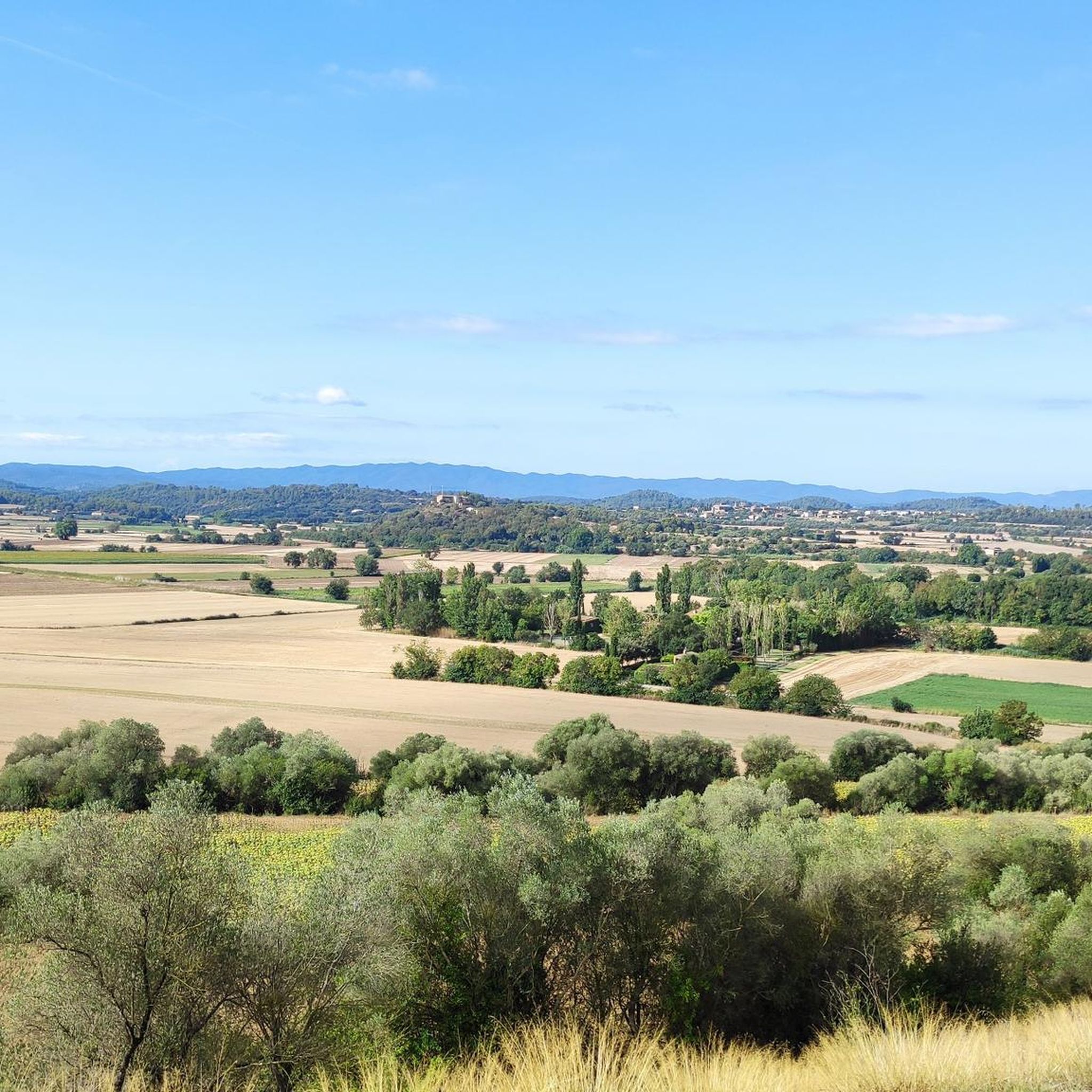
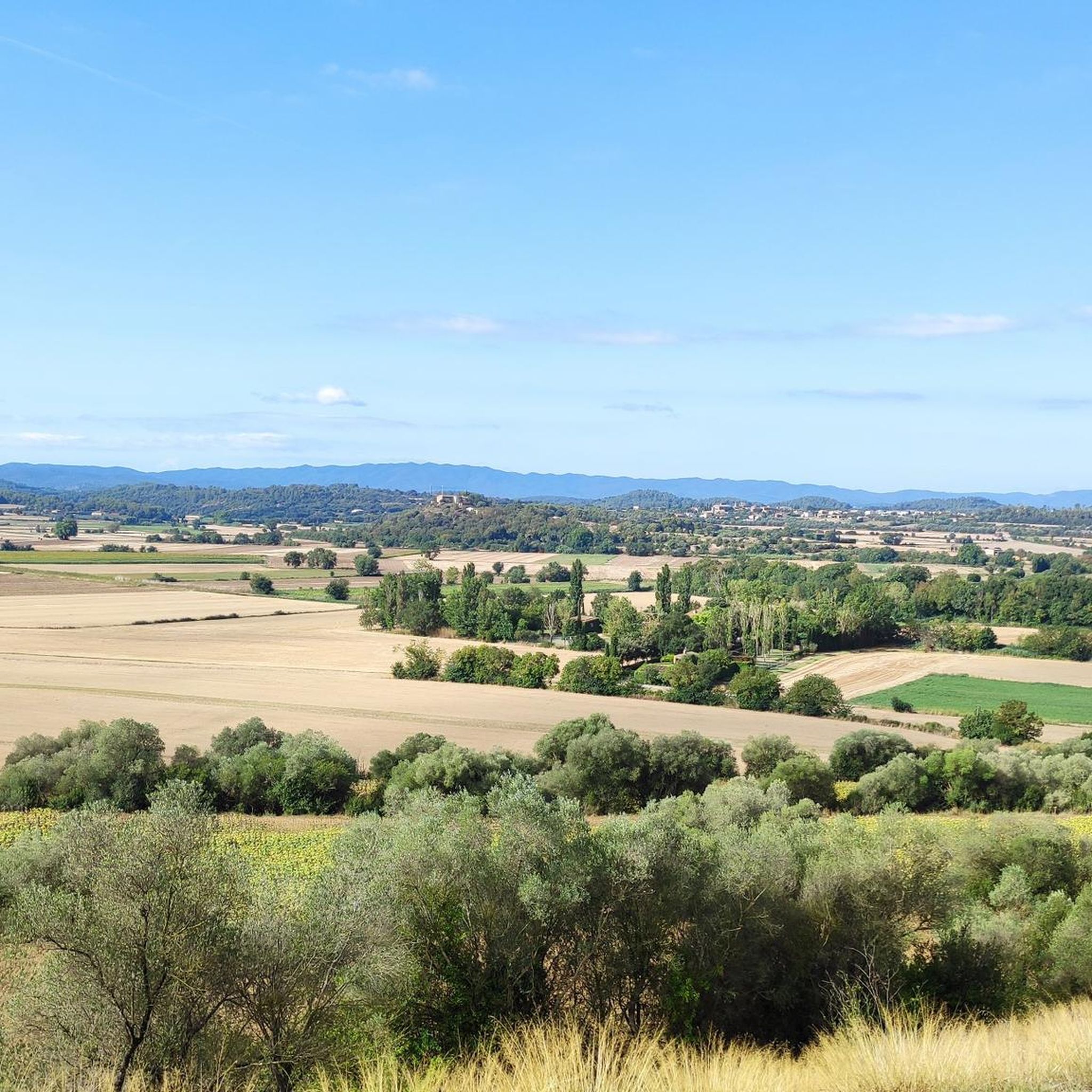
Empordanet is a small depression in the middle of the mountains of Begur and Montgrí. A small Empordà on a small scale and from this hill at the foot of Gualta, lets us see it perfectly. It's worth going up there!
0
0

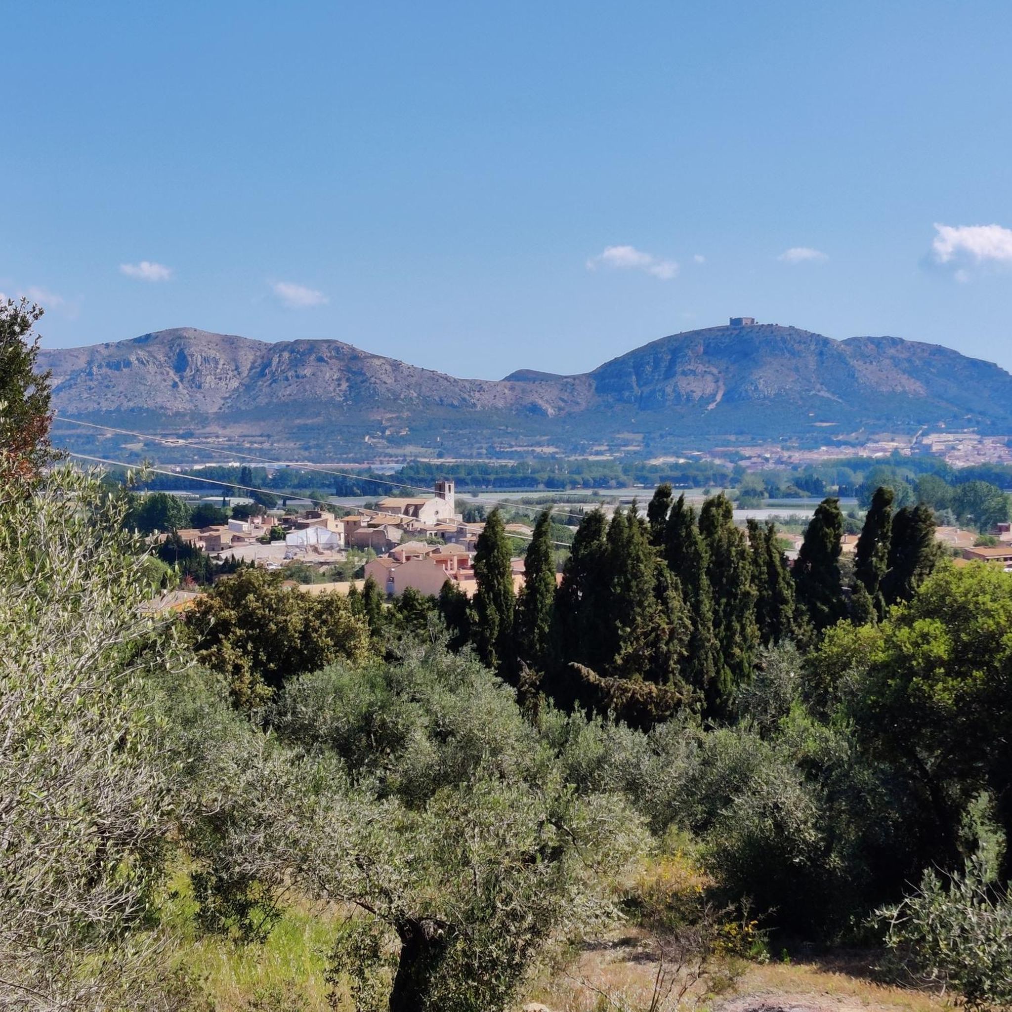
Torroella de Montgrí is a charming little town overlooked by Montgrí Castle. Take a stroll around its bastide square which houses a few restaurants, stroll through the small streets with a typically Catalan atmosphere.
1
0

Old village with a watermill worth seeing and a shady place to rest by the church.
1
0

Bike path along the Ter with its nature reserve.
4
0

In case of rain or humidity, you can take the footbridge and stop at the Gualta roundabout itself.
2
0

Known as the Pont de Gualta, it is a construction from the 16th and 17th centuries, located in the municipality of Gualta, in the Baix Empordà region (Girona). It has five eyes, with lowered arches, of different light. Its state of conservation is very good and it is one of the accesses to the town of Gualta. Next to the bridge is a commemorative monolith of the defense of the population against the French army during the war against Napoleon in 1809.
3
0

Be careful with the bridge, wet stone is sure to fall
2
0
Frequently Asked Questions
How many hiking trails are available around Serra de Daró?
There are over 250 hiking routes available around Serra de Daró, catering to various preferences and skill levels. The komoot community has rated these trails highly, with an average score of 4.6 stars.
What kind of terrain can I expect when hiking around Serra de Daró?
The immediate area around Serra de Daró features tranquil landscapes with flat terrain, gentle hills, and extensive agricultural fields. You'll find paths crisscrossing streams and ancient routes. However, the region also offers access to more varied terrain, including the calcareous formations of Montgrí Natural Park and the rugged coastline of the Costa Brava.
Are there any easy or family-friendly hiking routes in Serra de Daró?
Yes, Serra de Daró offers many easy routes suitable for families. For instance, the Puig de la font Pasquala – Gualta Bridge loop from Serra de Daró is an easy 6.5 km trail that takes about 1 hour 45 minutes, combining rural paths with views of the historic Gualta Bridge. Overall, there are 87 easy routes in the area.
Can I bring my dog on the hiking trails around Serra de Daró?
Many trails around Serra de Daró are suitable for dogs, especially those through the rural plains and gentle hills. It's always recommended to keep your dog on a leash, especially near agricultural areas or wildlife reserves like the Canet Island Wildlife Natural Reserve, which is accessible via a path from Serra de Daró.
What natural features or landmarks can I see along the hiking trails?
Hikers can discover a mix of natural beauty and historical sites. You might encounter the tranquil plains of the Daró River, numerous small streams, and cultivated fields. For specific landmarks, consider routes that pass by the historic Gualta Bridge, or explore the nearby Montgrí Castle for panoramic views.
Are there any circular hiking routes available?
Yes, many of the hiking routes around Serra de Daró are circular, offering convenient starting and ending points. A popular moderate option is the Gualta Bridge loop from Serra de Daró, which is about 9.1 km long and takes around 2 hours 20 minutes.
When is the best time of year to hike in Serra de Daró?
Serra de Daró offers pleasant hiking conditions for much of the year. Spring and autumn are ideal, with mild temperatures and vibrant landscapes. The area benefits from a coastal breeze, making summer hikes enjoyable, especially in the mornings or late afternoons. Winter can also be suitable for hiking, as the terrain is generally low-lying and less prone to extreme conditions.
Are there more challenging hikes available near Serra de Daró?
While Serra de Daró itself is characterized by gentle terrain, more challenging options are accessible nearby. The Montgrí Castle – View of the Cross of Montgrí loop from Torroella de Montgrí, for example, is a moderate 9.3 km route with a 270-meter elevation gain, offering more strenuous sections and rewarding views from the Montgrí massif.
What do other hikers enjoy most about hiking in Serra de Daró?
The area is highly rated by the komoot community, with an average score of 4.6 stars from over 900 reviews. Hikers often praise the tranquil rural paths, the peaceful atmosphere, and the diverse landscapes ranging from agricultural fields to riverine plains. The accessibility to nearby natural parks and historical sites is also a significant draw.
Can I explore historical sites while hiking in the region?
Absolutely. The area is rich in history. You can incorporate walks that visit medieval buildings in nearby villages like Monells or Peratallada. Serra de Daró itself has remnants of Roman roads and an Iberian necropolis, adding a historical dimension to your hikes.
Are there any hikes that lead to natural parks from Serra de Daró?
Yes, Serra de Daró serves as a gateway to several significant natural parks. An established path connects directly to the Ter River and the Canet Island Wildlife Natural Reserve. You can also easily access the Montgrí Natural Park, Medes Islands, and Baix Ter, or the Aiguamolls de l'Empordà Natural Park, which is renowned for birdwatching.
Is parking available for hikers in Serra de Daró?
Yes, parking is generally available in and around the village of Serra de Daró, as well as at the starting points of many popular trails in the surrounding areas. Given the rural nature of the region, finding suitable parking spots is usually straightforward.
Most popular routes around Serra De Daró
Most popular attractions around Serra De Daró

Get inspired with the komoot mobile app


Explore more
Browse the best Hikes in other regions.
