The best running trails around Serra De Daró
4.4
(73)
4,755
runners
233
runs
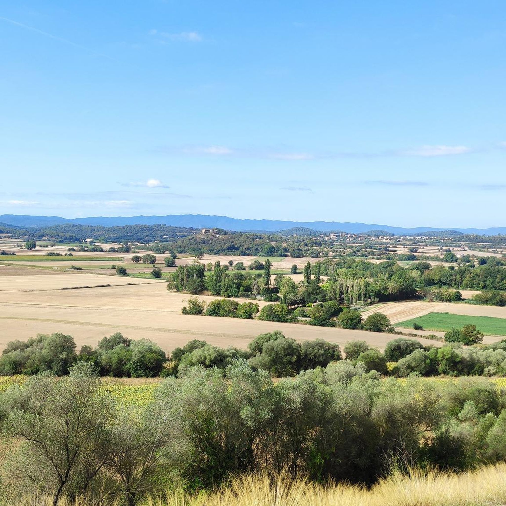
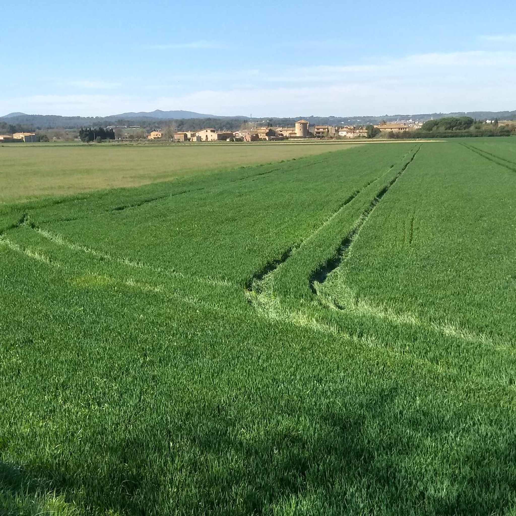
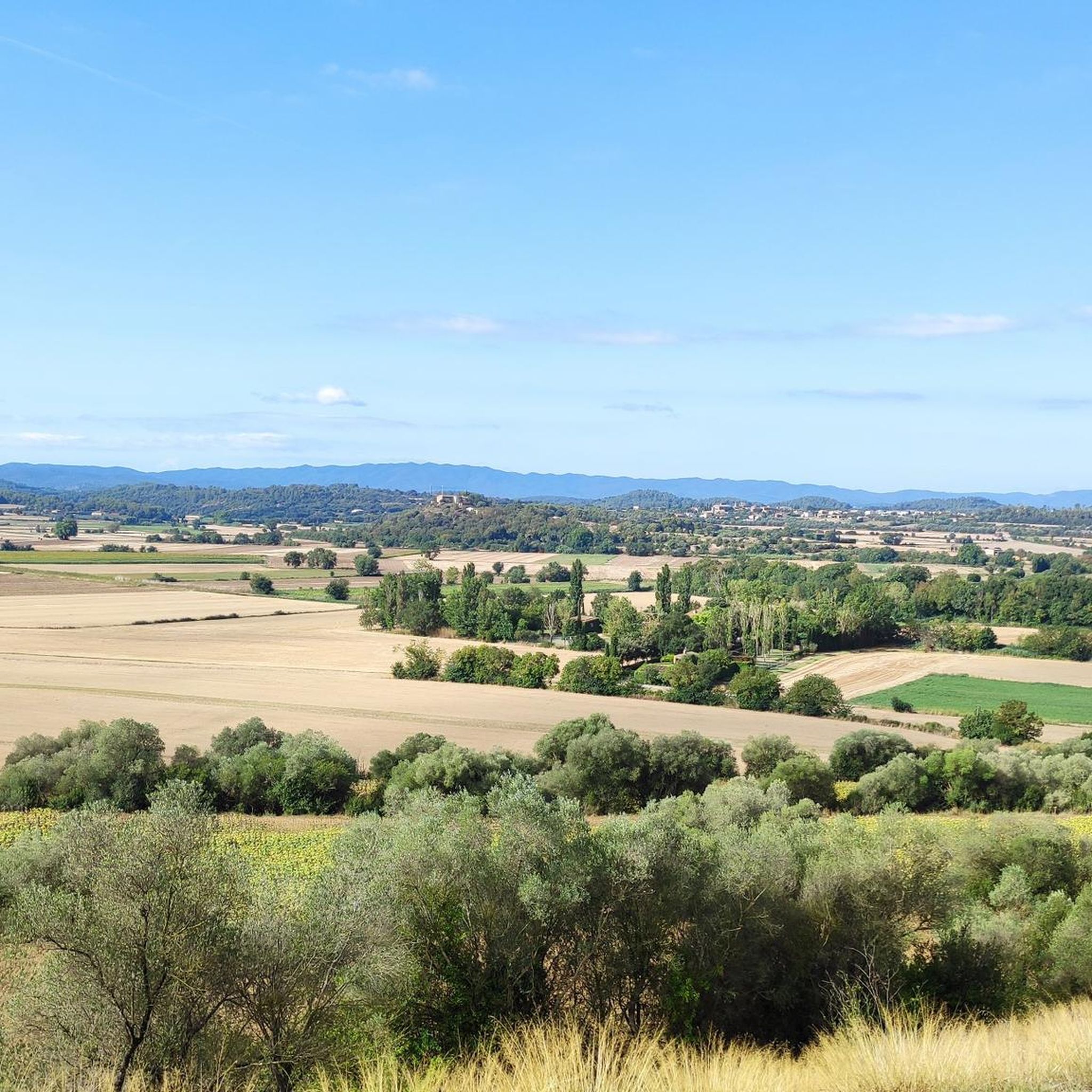
Jogging routes around Serra De Daró traverse a varied landscape of flat terrain, gentle hills, and cultivated fields within the Baix Empordà region of Girona. The area is characterized by the Daró river valley, offering relatively flat paths ideal for relaxed running. Proximity to the Montgrí Massif provides options for routes with more elevation, while the overall topography supports diverse running experiences.
Best jogging routes around Serra De Daró
- The most popular jogging route is Montgrí Castle – Montplà Summit…
Last updated: July 10, 2026
22
runners
13.9km
01:55
450m
450m
Hard run. Very good fitness required. Sure-footedness, sturdy shoes and alpine experience required.
21
runners
7.63km
00:47
10m
10m
Moderate run. Good fitness required. Mostly paved surfaces. Suitable for all skill levels.

Sign up for free
17
runners
Hard run. Good fitness required. Sure-footedness, sturdy shoes and alpine experience required.
16
runners
7.86km
00:53
60m
60m
Moderate run. Good fitness required. Mostly paved surfaces. Suitable for all skill levels.
15
runners
8.94km
01:00
70m
70m
Moderate run. Good fitness required. Mostly paved surfaces. Suitable for all skill levels.
Get access to more routes and recommendations from other explorers.
Sign up for free
Already have an account?
Our route recommendations are based on thousands of hikes, rides, and runs completed by other people on komoot.
Start today with a free account
Your next adventure awaits.
Login or Signup

Tips from the Community

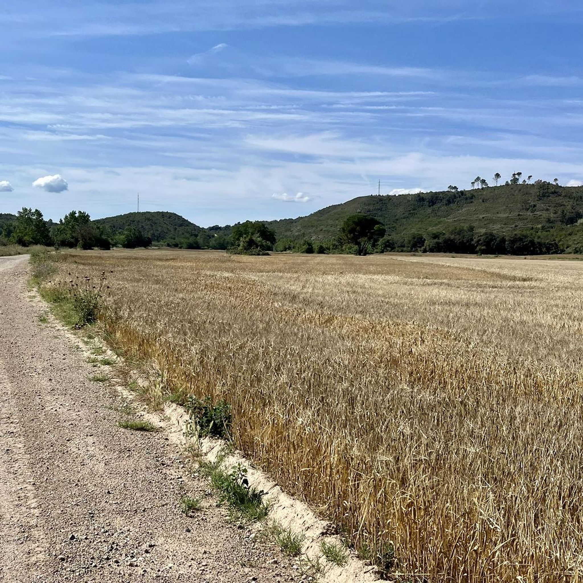
Very nice gravel, easily doable on a road bike.
0
0

nice walk from the emporda campsite, but allow more time to tour the castle
1
0

https://www.youtube.com/watch?v=a8nioZH4ktk Around the year 1390, three ascetic monks who came from the monastery of Montserrat, Bertomeu Caboters, Pere Tarasacó and Berenguer de Güell, founded the hermitage in a place called Font Aribosa, a source from which clean, clear water flowed. In this place they invoked Saint Caterina, but not before obtaining permission from the king of Aragon, owner of the village and the Montgrí mountain itself. The hermitage of Santa Caterina has undergone different reforms. We cannot forget that in 2004, a terrible fire burned the entire forest near the hermitage and a large part of the Montgrí massif, only some trees near the hermitage were saved from the burning. For many years the hermitage was inhabited by hermits who subsisted thanks to the garden and the water well. After their death, the City Council entrusted the administration of the hermitage to a board of four neighbors, who are currently in charge of its administration and maintenance.
1
0

The Montgrí massif culminates in the Montplà summit. Taking into account that the surrounding towns are at sea level, its 310 meters give it a 360 degree panoramic view. In addition, you can also see the archipelago of the Medas Islands.
2
1

Hermitage founded in 1392 by three hermit monks from Montserrat. The sanctuary has suffered different remunerations over the years, among which those made during the 17th and 18th centuries stand out, forming what is the current construction.
0
0
Peak of 310 meters of altitude found in the Montgrí Massif, in the municipality of Torroella de Montgrí. It is the highest mountain in the Macizo del Montgrí, but Montgrí Castle surpasses it in height.
0
0

The hermitage is hidden inside the Massís del Montgrí, specifically in the Santa Caterina valley. From the hermitage you can see Montgrí Castle.
4
0

Frequently Asked Questions
How many running routes are available in Serra De Daró?
There are over 200 jogging routes around Serra De Daró, offering a wide range of options for all fitness levels. This includes 10 easy routes, 161 moderate routes, and 64 difficult routes.
What kind of terrain can I expect on jogging routes in Serra De Daró?
Jogging routes in Serra De Daró feature a diverse landscape, from flat terrain and cultivated fields in the Daró river valley to gentle hills. You'll find paths suitable for relaxed runs along riverbanks and more challenging options with elevation gain towards the Montgrí Massif.
Are there easy running routes suitable for beginners in Serra De Daró?
Yes, Serra De Daró offers 10 easy running routes perfect for beginners or those looking for a relaxed pace. These routes typically have minimal elevation change and traverse the local countryside.
What do other runners enjoy most about jogging in Serra De Daró?
The running routes in Serra De Daró are highly rated by the komoot community, with an average score of 4.4 stars from over 60 reviews. Runners often praise the varied terrain, from flat river valleys to gentle hills, and the opportunity to pass through charming historic villages.
Are there any circular running routes in Serra De Daró?
Yes, many of the running routes in Serra De Daró are circular. For example, the Running loop from Gualta is a moderate 4.7-mile (7.6 km) path with minimal elevation, perfect for a steady run through the countryside.
What historical landmarks can I see along the running routes?
Many routes pass by or near significant historical sites. You could incorporate a visit to Peratallada — Historic Village, a picturesque medieval town, or the Medieval Village of Ullastret, known for its Iberian necropolis. The Montgrí Castle is also a prominent landmark on several routes, offering rewarding views.
Are there running trails with good views in Serra De Daró?
Absolutely. Routes leading to the Montgrí Massif often provide spectacular views. For instance, the Montgrí Castle – View of the Cross of Montgrí loop from Torroella de Montgrí offers rewarding vistas of the surrounding landscape and the coast. You can also find great viewpoints like View from Puig Segalar.
Are the running routes in Serra De Daró suitable for families?
Many of the easier and moderate routes, especially those with flat terrain along river valleys or through cultivated fields, are suitable for families. These paths are generally well-maintained and offer a pleasant experience for all ages.
Can I find running routes that are dog-friendly in Serra De Daró?
Most outdoor trails in the Serra De Daró region are dog-friendly, provided your dog is kept on a leash and you clean up after them. The varied landscape offers plenty of space for you and your canine companion to enjoy a run together.
Are there any gravel track running routes in the area?
Yes, you can find gravel track routes in Serra De Daró. An example is the Gravel Track Casavells–Parlavà loop from Rupià, a moderate 4.9-mile (7.9 km) route that offers a smooth surface for running.
What is the best time of year to go jogging in Serra De Daró?
The region generally enjoys a mild Mediterranean climate, making spring and autumn ideal for jogging. The weather is pleasant, and the natural scenery is vibrant. Summer mornings and evenings are also suitable, though midday can be quite warm.
Are there routes that offer a bit more challenge with elevation?
For those seeking a more challenging run with significant elevation, routes leading into the Montgrí Massif are excellent choices. The Montgrí Castle – Montplà Summit loop from Torroella de Montgrí is a difficult 8.5-mile (13.6 km) trail with substantial elevation gain, offering panoramic views from the summit.
Most popular routes around Serra De Daró
Most popular attractions around Serra De Daró

Get inspired with the komoot mobile app


Explore more
Browse the best Running Trails & Routes in other regions.
