The best walks and hikes around Lai da Curnera
4.6
(1355)
10,339
hikers
131
hikes
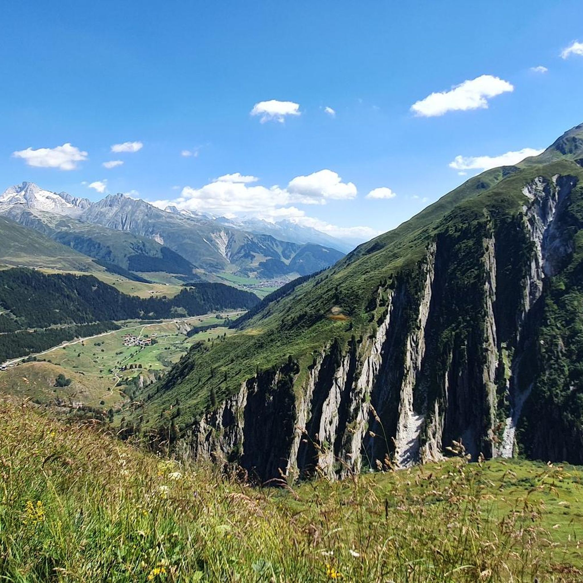
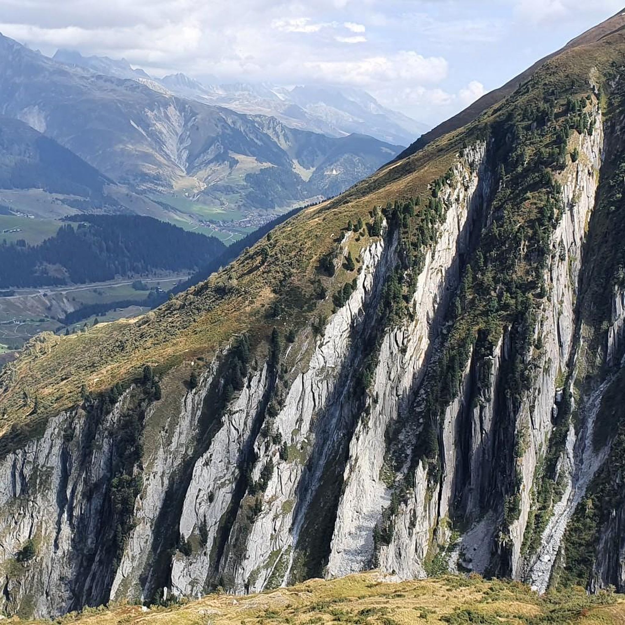
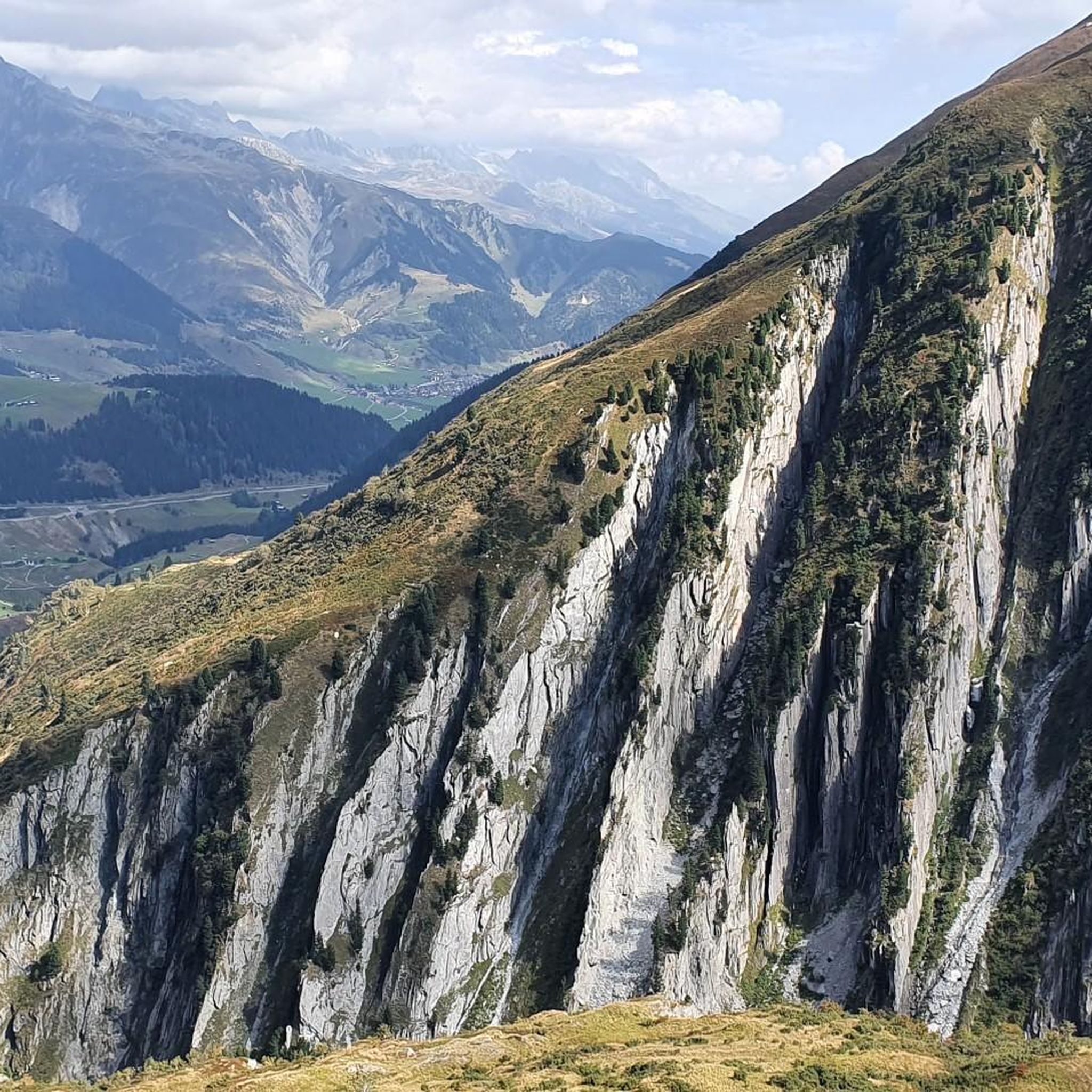
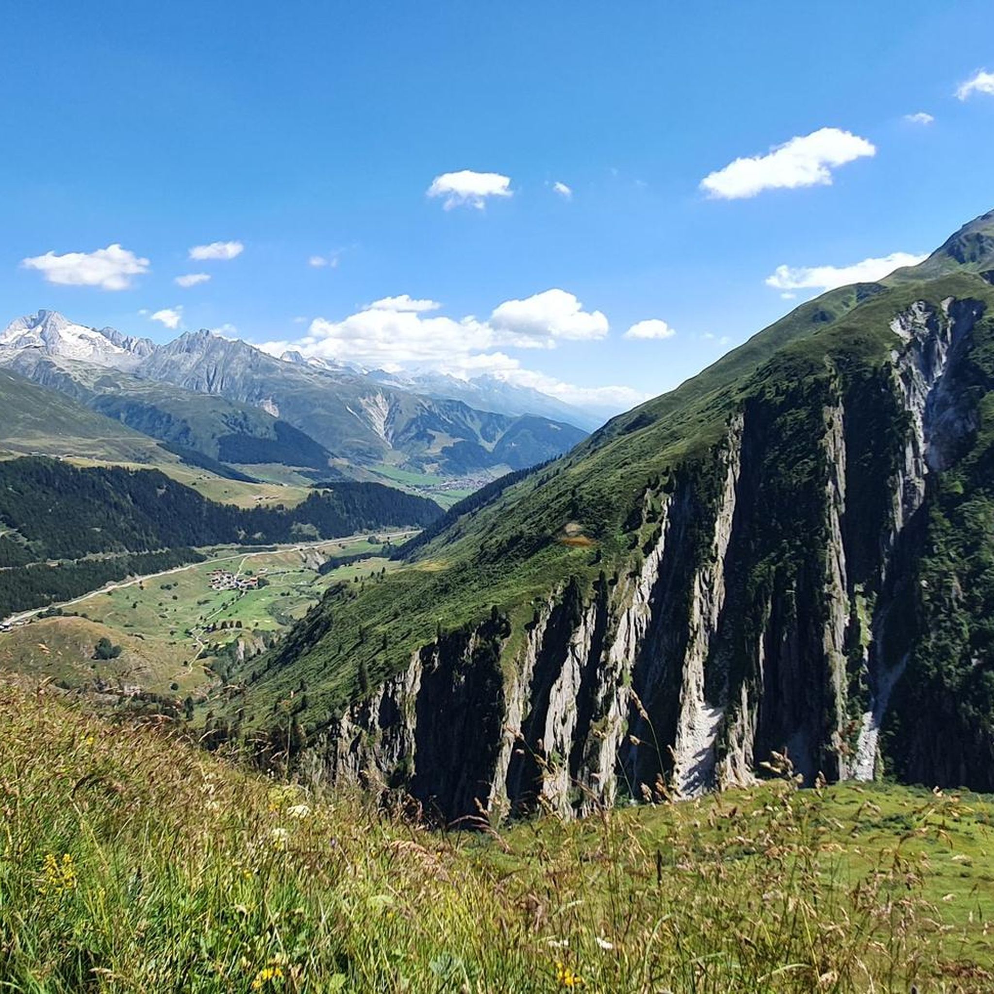
Hiking trails around Lai da Curnera traverse an alpine landscape characterized by a large reservoir, surrounding valleys, and mountainous terrain. The region features varied elevations, from lower valley paths near the Rein da Curnera to more challenging ascents towards high-altitude huts and peaks. This area offers a mix of open vistas and paths alongside water bodies, providing diverse hiking experiences.
Best hiking trails around Lai da Curnera
- The most popular hiking route is Maighels Hut – Maighelshütte loop from Rein…
Last updated: July 7, 2026
4.7
(6)
58
hikers
14.9km
05:06
720m
720m
Hard hike. Very good fitness required. Sure-footedness, sturdy shoes and alpine experience required.
4.8
(5)
35
hikers
17.6km
08:11
1,210m
1,210m
Hard hike. Very good fitness required. Sure-footedness, sturdy shoes and alpine experience required.

Sign up for free
5.0
(2)
24
hikers
5.53km
01:44
230m
230m
Easy hike. Great for any fitness level. Easily-accessible paths. Suitable for all skill levels.
4.0
(1)
16
hikers
5.08km
01:50
210m
210m
Hard hike. Great for any fitness level. Sure-footedness, sturdy shoes and alpine experience required.
2
hikers
14.0km
06:00
740m
740m
Hard hike. Very good fitness required. Sure-footedness, sturdy shoes and alpine experience required.
Get access to more routes and recommendations from other explorers.
Sign up for free
Already have an account?
Our route recommendations are based on thousands of hikes, rides, and runs completed by other people on komoot.
Start today with a free account
Your next adventure awaits.
Login or Signup


Tips from the Community

beautiful valley to spend time outdoors
0
0
beautiful valley for spending time outdoors
0
0
beautiful valley to spend time outdoors
0
0

It's better to go during the week. Unfortunately, it's completely overcrowded on weekends.
0
0

Beautiful mountain lake directly at the Maighels Pass
0
0
A beautiful pass, and it's worth walking a few meters further onto the small rocky plateau. From here, you have a fantastic view of the nearby mountain lake.
0
0

Inscription: Here, on July 6, 1931, Fusilier recruit Gustav Hunzinger born 1910 from Zurich found his death in machine gun fire ?? R.S. IV.5.1951
0
0

A rest area with a wonderful view
0
0
Frequently Asked Questions
How many hiking trails are available around Lai da Curnera?
The Lai da Curnera region offers a wide variety of hiking experiences, with over 130 routes recorded on komoot. These range from easy strolls to challenging high-alpine treks, catering to different skill levels.
Are there easy hiking trails suitable for families in Lai da Curnera?
Yes, Lai da Curnera has several easy routes perfect for families. For instance, the Tschamut Village – Milez Point, 1876 loop from Rein da Curnera is an easy 3.4-mile (5.5 km) trail that takes about 1 hour 44 minutes, leading through village surroundings and gentle hills.
What are some challenging hikes in the Lai da Curnera area?
For experienced hikers seeking a challenge, the region offers demanding high-alpine routes. The Lai Carin – Maighelshütte loop from Tschamut-Selva is a difficult 10.9-mile (17.6 km) path exploring high-alpine terrain around a lake and a mountain hut. Another option is the Maighelshütte – Pass Maighels loop from Piz Cavradi, a difficult 13.9 km route with significant elevation gain.
Are there circular hiking routes around Lai da Curnera?
Many of the trails in the Lai da Curnera region are designed as circular routes, allowing you to start and end at the same point. A popular example is the Maighels Hut – Maighelshütte loop from Rein da Curnera, a 7.8-mile (12.5 km) trail offering alpine views.
What is the best time of year to go hiking in Lai da Curnera?
The best time for hiking in Lai da Curnera is typically from late spring to early autumn (June to September), when the alpine paths are mostly free of snow and the weather is more stable. However, conditions can vary, especially at higher altitudes.
Can I go winter hiking around Lai da Curnera?
While many high-alpine trails become inaccessible or require specialized equipment in winter due to snow, some lower-lying paths and designated winter hiking routes may be available. Always check current snow conditions and trail closures before planning a winter hike in the region.
Are dogs allowed on the hiking trails in Lai da Curnera?
Generally, dogs are welcome on hiking trails in the Lai da Curnera region. However, it's important to keep them on a leash, especially in areas with grazing livestock or protected wildlife, and to always clean up after them. Specific restrictions might apply in certain nature reserves, so always look for local signage.
What kind of wildlife can I spot on the trails?
The alpine environment around Lai da Curnera is home to various wildlife. Hikers might spot marmots, chamois, or ibex in higher elevations. Birdwatchers can look out for golden eagles and other alpine bird species. Keep a respectful distance and observe quietly to increase your chances of sightings.
Are there places to eat or get refreshments along the hiking routes?
Yes, some routes, particularly those leading to mountain huts like the Maighelshütte, offer opportunities for refreshments. These huts often provide food and drinks during the hiking season. It's always advisable to check opening times in advance, especially outside peak season.
What do other hikers enjoy most about the Lai da Curnera region?
The area is highly rated by the komoot community, with an average score of 4.6 stars from over 1300 reviews. Hikers often praise the diverse alpine landscape, the stunning views of the reservoir, and the well-maintained paths that cater to various difficulty levels.
Is there parking available near the trailheads in Lai da Curnera?
Parking facilities are typically available at common starting points for hikes, such as near Tschamut-Selva or Rein da Curnera. However, spaces can be limited during peak season, so arriving early or considering public transport options is recommended.
Are there any hidden gem hikes in Lai da Curnera?
While many trails are well-known, exploring paths slightly off the most popular routes can reveal quieter, equally beautiful spots. The region's extensive network of trails means there are always opportunities to discover less-trafficked paths that offer unique perspectives of the alpine landscape and the reservoir.
Most popular routes around Lai da Curnera

Get inspired with the komoot mobile app


Explore more
Browse the best Hikes in other regions.
