The best road cycling routes around Lai da Curnera
4.8
(406)
27,846
riders
10
rides
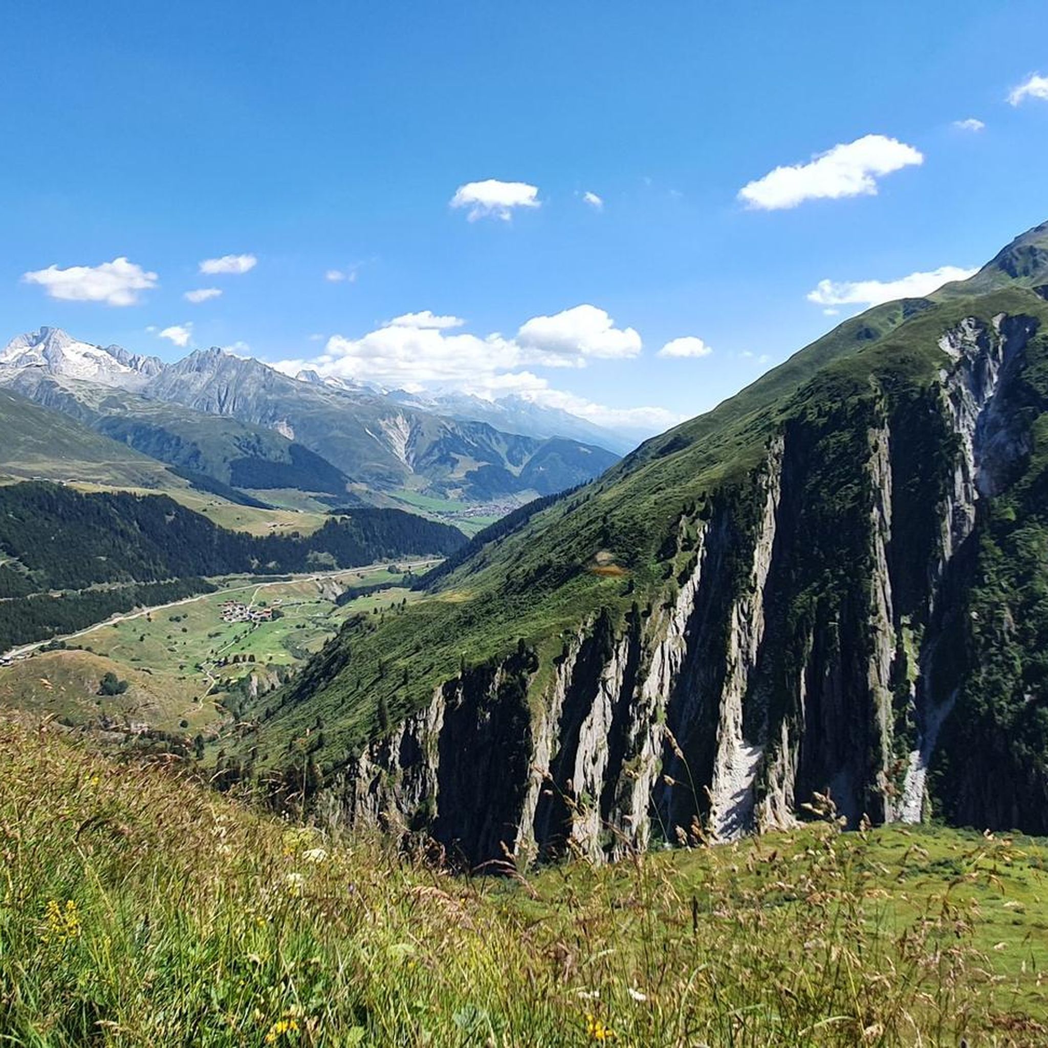
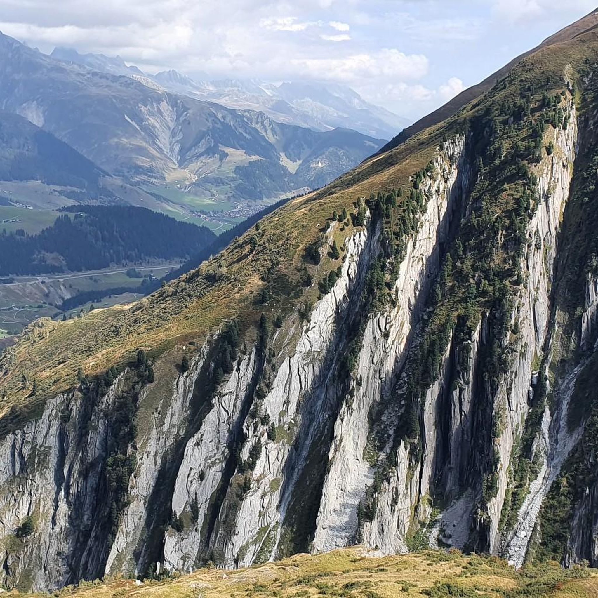
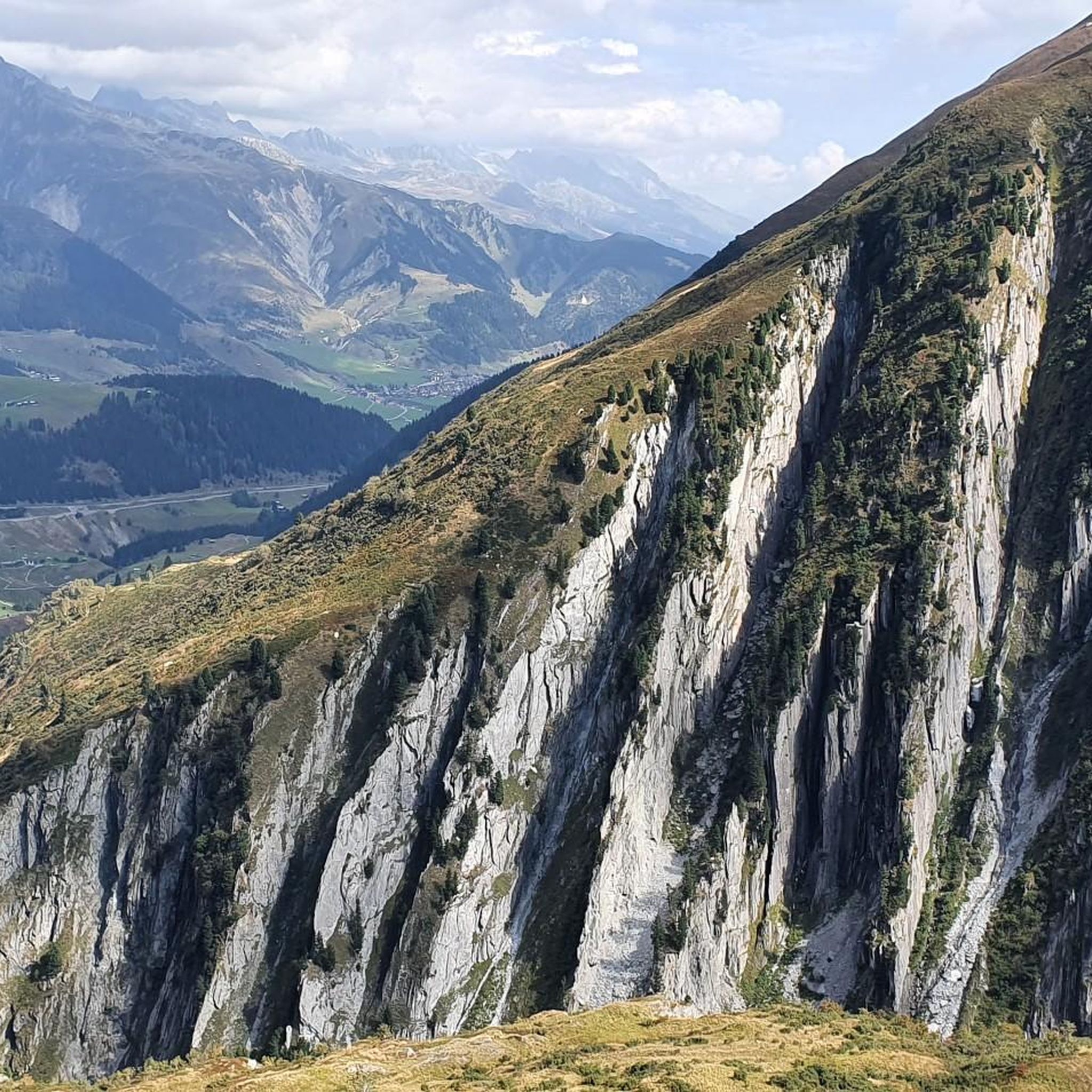
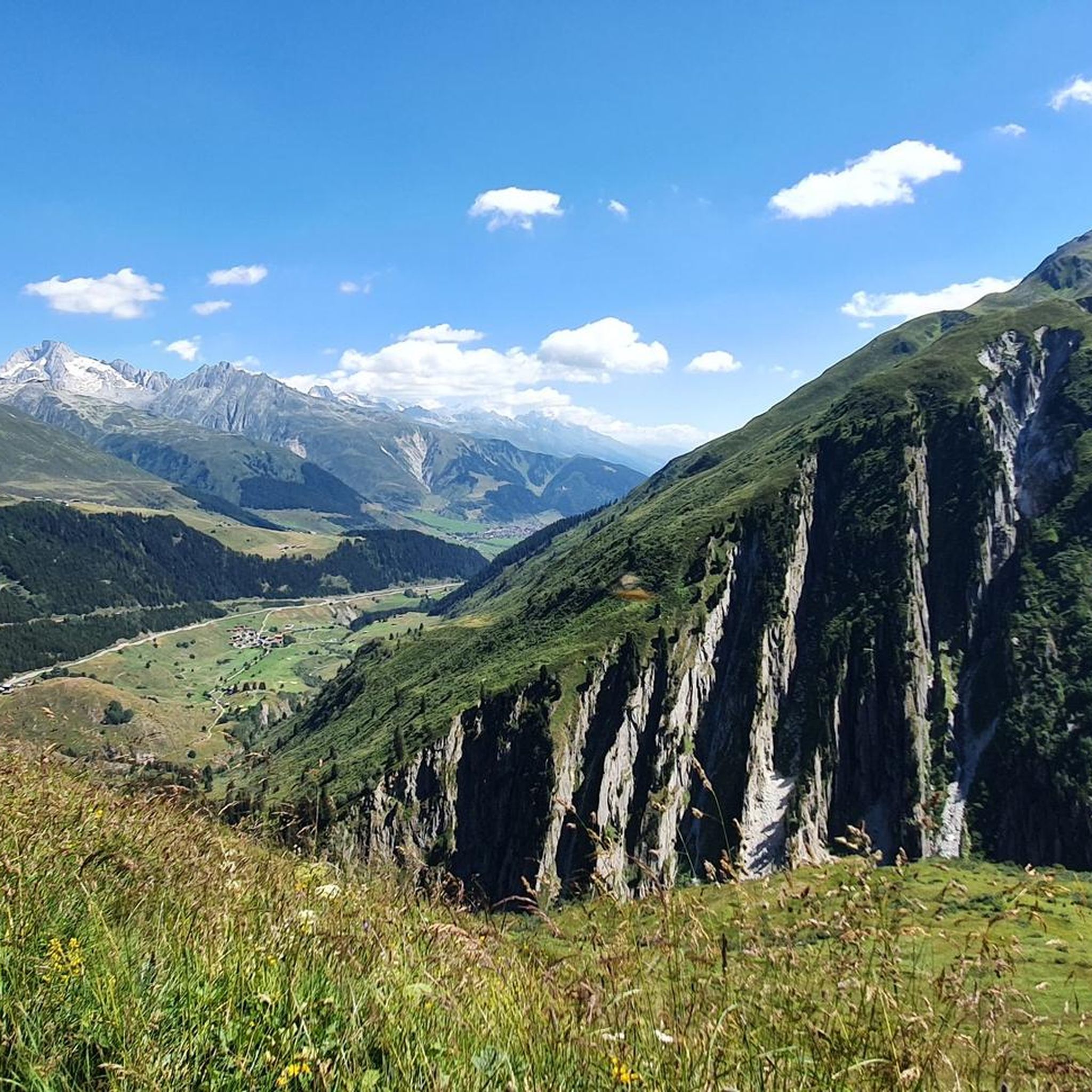
Road cycling around Lai da Curnera offers a rewarding experience in the heart of the Swiss Alps, characterized by significant elevation gains and serpentine roads. This region, a picturesque detour from Route 19, is known for its alpine reservoirs and proximity to the Oberalp Pass. The terrain features rugged mountain backdrops and challenging ascents, making it suitable for cyclists with good to very good fitness levels.
Best road cycling routes around Lai da Curnera
- The most popular road cycling route…
Last updated: July 7, 2026
27
riders
42.4km
03:18
1,380m
1,380m
Hard road ride. Very good fitness required. Some segments of this route may be unpaved and difficult to ride.
5
riders
9.71km
00:43
380m
380m
Moderate road ride. Good fitness required. Some segments of this route may be unpaved and difficult to ride.

Sign up for free
5.0
(1)
151
riders
28.4km
01:59
890m
890m
Moderate road ride. Good fitness required. Some segments of this route may be unpaved and difficult to ride.
5.0
(1)
47
riders
23.1km
01:44
740m
740m
Moderate road ride. Good fitness required. Mostly well-paved surfaces and easy to ride.
303
riders
58.7km
03:19
1,320m
1,320m
Hard road ride. Very good fitness required. Mostly well-paved surfaces and easy to ride.
Get access to more routes and recommendations from other explorers.
Sign up for free
Already have an account?
Our route recommendations are based on thousands of hikes, rides, and runs completed by other people on komoot.
Start today with a free account
Your next adventure awaits.
Login or Signup


Tips from the Community


A bench with a wonderful view of Rueras and the Matterhorn Gotthard Bahn railway line.
0
0

This monastery has something to offer, I even attended the service which was in German.
4
0


Scenic pass that is opened all year round (closes at 6pm in winter). There is hardly any traffic which makes cycling very nice and plenty of opportunities to take pictures. We crossed the pass in early May when there was still plenty of snow up there. The change in scenery where it was all green at Disentis and slowly turning white as we climbed higher... and very quickly turned to green as we rolled down on the south side to Biasca was breathtaking.
1
1
You reach the Lai da Nalps reservoir via a climb of around eight kilometers, which begins in Surrein, just on the other side of the valley from Sedrun. The climb begins with a steeper section and a few tight bends. After that, the road becomes more even, following the right side of the valley until finally, a few beautiful switchbacks lead up to the dam. You could cycle the two kilometers to the end of the lake on a gravel road, but after that, you're definitely not going any further on two wheels.
0
0
Because of the many tunnels, you should definitely have lights (which are mandatory anyway) mounted on the front and rear of your bike when riding over the Lukmanier Pass.
1
0

The Lucomagno is one of the most famous Alpine passes in Switzerland. It is located between the cantons of Ticino and Grisons, at an altitude of 1,926 meters. The name seems to derive from the Latin "locus magnus", meaning "large, open place". It is often tackled in the professional race of the Tour of Switzerland.
3
0
Frequently Asked Questions
How many road cycling routes are available around Lai da Curnera?
There are 11 distinct road cycling routes around Lai da Curnera available on komoot, catering to various fitness levels. These include 6 moderate and 5 difficult routes, all featuring significant elevation gains typical of the Swiss Alps.
What kind of terrain and difficulty can I expect on road cycling routes near Lai da Curnera?
Road cycling around Lai da Curnera is characterized by challenging alpine terrain with significant elevation gains and serpentine roads. Routes are generally suited for cyclists with good to very good fitness levels, ranging from moderate to difficult. The region is known for its rugged mountain backdrops and demanding ascents.
Are there any family-friendly road cycling routes around Lai da Curnera?
The road cycling routes directly around Lai da Curnera are generally designed for cyclists with good to very good fitness due to significant elevation gains and challenging terrain. While there are no routes specifically categorized as 'easy' for road cycling in this immediate area, families with experienced teenage cyclists might find some moderate routes manageable. For gentler cycling experiences, exploring other areas in the wider Surselva region might be more suitable.
What are the best times of year for road cycling in Lai da Curnera?
The best time for road cycling around Lai da Curnera is typically during the warmer months, from late spring to early autumn (approximately June to September). During this period, mountain passes are usually clear of snow, and weather conditions are more stable, offering ideal temperatures and breathtaking alpine scenery. Always check local weather and road conditions before heading out.
What natural features and landmarks can I see while cycling around Lai da Curnera?
While cycling around Lai da Curnera, you'll be immersed in stunning alpine scenery. Key natural features include the breathtaking blue and green hues of Lai da Curnera itself, which is one of the sources of the Rhine River. You'll also encounter the impressive 153-meter-high dam of the reservoir and enjoy views of rugged mountain backdrops. The region is also close to the renowned Oberalp Pass and other beautiful alpine lakes like Lai da Tuma (Tomasee) and Oberalpsee.
Are there any loop routes for road cyclists in the area?
Yes, there are several loop routes available. For example, the View of the Surselva – Ascent to Lai Curnera loop from Oberalppass offers an ascent to the reservoir with panoramic views. Another option is the Oberalp Pass – Oberalp Lake loop from Oberalppass, which takes you through mountain passes and past alpine lakes.
What do other road cyclists enjoy most about road cycling in Lai da Curnera?
The road cycling experience around Lai da Curnera is highly rated by the komoot community, with an average score of 4.8 stars from over 300 reviews. Cyclists often praise the stunning alpine landscapes, the challenging yet rewarding ascents, and the peaceful detour to Lai da Curnera itself, which is considered a 'secret tip' among enthusiasts. The region's combination of natural beauty and demanding routes makes it a favorite.
Is public transport available for cyclists to reach the starting points of routes near Lai da Curnera?
Yes, public transport options are available to access the region. The Oberalp Pass, a key starting point for many routes, is accessible by train (Matterhorn Gotthard Bahn) and bus, which often have facilities for transporting bicycles. It's advisable to check the specific schedules and bike transport policies of the public transport providers in advance, especially during peak season.
Where can I find parking for road cycling near Lai da Curnera?
Parking for road cyclists is typically available at key access points such as the Oberalp Pass. There are designated parking areas where you can leave your vehicle before starting your ride. Always look for official parking spaces and be mindful of any fees or restrictions.
Are there cafes or accommodation options near the road cycling routes?
While Lai da Curnera itself is a more remote alpine reservoir, the wider region, particularly around the Oberalp Pass and nearby villages like Tschamut-Selva or Rueras, offers amenities. You can find mountain huts (like Maighels Hut, accessible via hiking trails) and some cafes or restaurants in the valleys or at the pass. Accommodation options, ranging from hotels to guesthouses, are also available in the surrounding communities, providing convenient bases for your cycling adventures.
Are there any particularly challenging road cycling routes in the area?
For those seeking a significant challenge, the Tschamut-Selva train station – Val Bugnei Railway Viaduct loop from Tschamut-Selva is a difficult 42.4 km route with substantial elevation gain through alpine landscapes. Another demanding option is the Switchbacks on the Oberalp Pass – Oberalp Pass loop from Rueras, which features numerous switchbacks and significant climbing.
Can I bring my dog on road cycling routes around Lai da Curnera?
While the region is generally dog-friendly for hiking, road cycling with dogs can be more challenging due to the nature of the routes (paved roads, traffic, high speeds). If your dog is accustomed to running alongside a bike, ensure they are well-trained and that local regulations permit it. For safety, it's often recommended to explore dedicated dog-friendly hiking trails in the area instead, where they can roam more freely.
Most popular routes around Lai da Curnera

Get inspired with the komoot mobile app


Explore more
Browse the best Road cycling routes in other regions.
