The best mountain hikes around Lai da Curnera
5.0
(21)
218
hikers
6
hikes
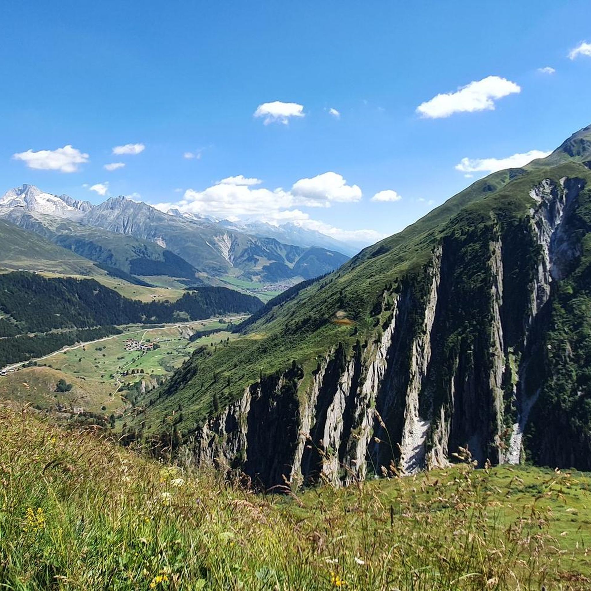
Mountaineering around Lai da Curnera offers challenging alpine experiences in the Surselva region. The area is characterized by high mountain passes, prominent peaks, and pristine alpine lakes, including Lake Toma, the source of the Rhine. Routes often involve significant elevation gain and traverse rugged terrain, providing expansive views of the surrounding Swiss Alps. The landscape is primarily rocky and exposed at higher elevations, with some sections passing through alpine meadows.
Best mountaineering routes around Lai da Curnera
- The most popular mountaineering route is Lolenpass – Lake Toma (Lai da Tuma) loop from Oberalppass, a 10.4 miles (16.7 km) trail that takes 7 hours 52 minutes to complete. This difficult route features significant elevation changes and panoramic views of alpine landscapes.
- Another top favourite among local mountaineers is Lake Toma (Lai da Tuma) – Tomasee (Source of the Rhine) loop from Oberalppass, a difficult 6.8 miles (10.9 km) path. This route explores the area around Lake Toma, known as the source of the Rhine, with varied mountain terrain.
- Local mountaineers also love the Pazolastock (2,739 m) loop from Oberalppass, a 4.3 miles (7.0 km) trail leading through high alpine terrain to a summit, often completed in about 3 hours 45 minutes.
- Mountaineering around Lai da Curnera is defined by alpine passes, mountain lakes, and challenging summit ascents. The network offers moderate and difficult options for experienced mountaineers.
- The routes in Lai da Curnera are highly rated by the komoot community with an average score of 5.0 stars from over 30 reviews. More than 300 mountaineers have used komoot to explore Lai da Curnera's varied terrain.
Last updated: July 6, 2026
4
hikers
16.7km
07:52
1,140m
1,140m
Hard mountaineering route. Very good fitness required. Sure-footedness, sturdy shoes and alpine experience required.
5.0
(1)
13
hikers
11.7km
04:30
500m
500m
Hard mountaineering route. Good fitness required. Sure-footedness, sturdy shoes and alpine experience required.

Sign up for free
5.0
(1)
6
hikers
18.0km
08:46
1,210m
1,210m
Hard mountaineering route. Very good fitness required. Sure-footedness, sturdy shoes and alpine experience required.
5.0
(1)
8
hikers
7.31km
03:54
660m
660m
Hard mountaineering route. Good fitness required. Sure-footedness, sturdy shoes and alpine experience required.
2
hikers
16.1km
06:38
840m
840m
Hard mountaineering route. Very good fitness required. Sure-footedness, sturdy shoes and alpine experience required.
Our route recommendations are based on thousands of hikes, rides, and runs completed by other people on komoot.
Start today with a free account
Your next adventure awaits.
Login or Signup

Tips from the Community

ATTENTION Early summer 2026: Closure of this passage due to rockfall. The detour costs approx. 3h extra. Details and current status: https://www.andermatt-sedrun-disentis.ch/disentis-sedrun/de/tour/zur-rheinquelle-oberalppass-tomasee
0
0

beautiful valley to spend outdoors
0
0
wonderful valley to spend time outdoors
0
0
wonderful valley to spend outdoors
0
0

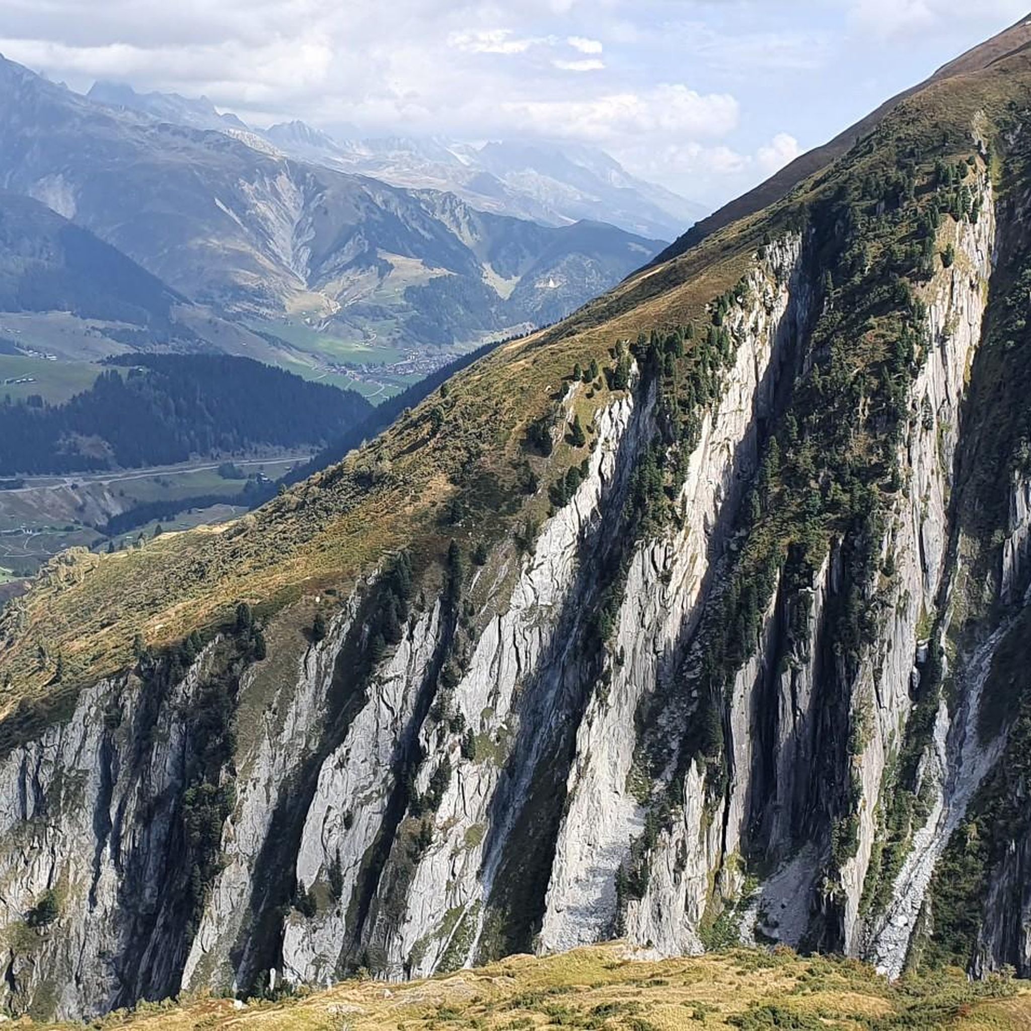
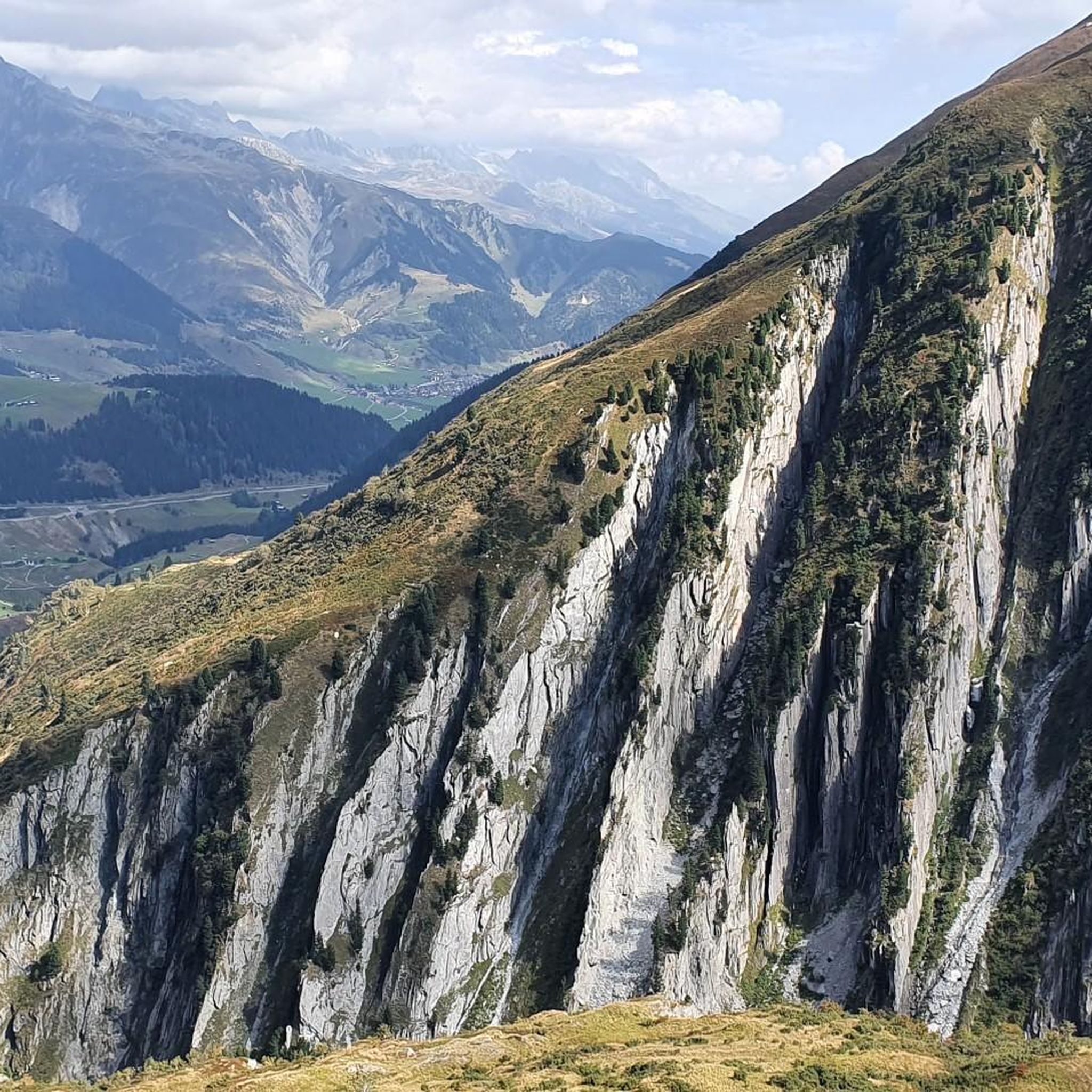
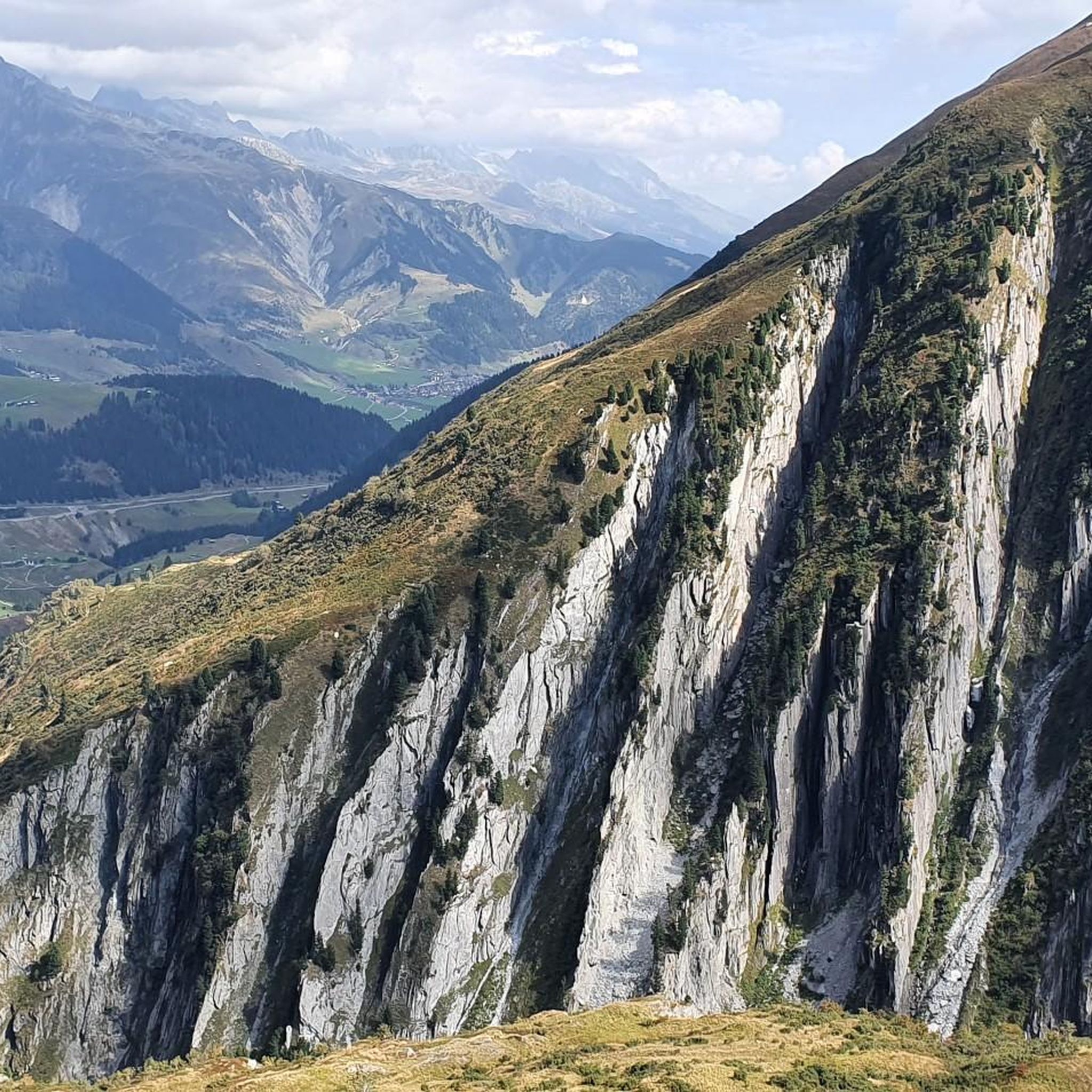
Beautiful route to the reservoir with a wonderful view over the Surselva.
0
0

This sign can be found directly at Lake Toma
0
0

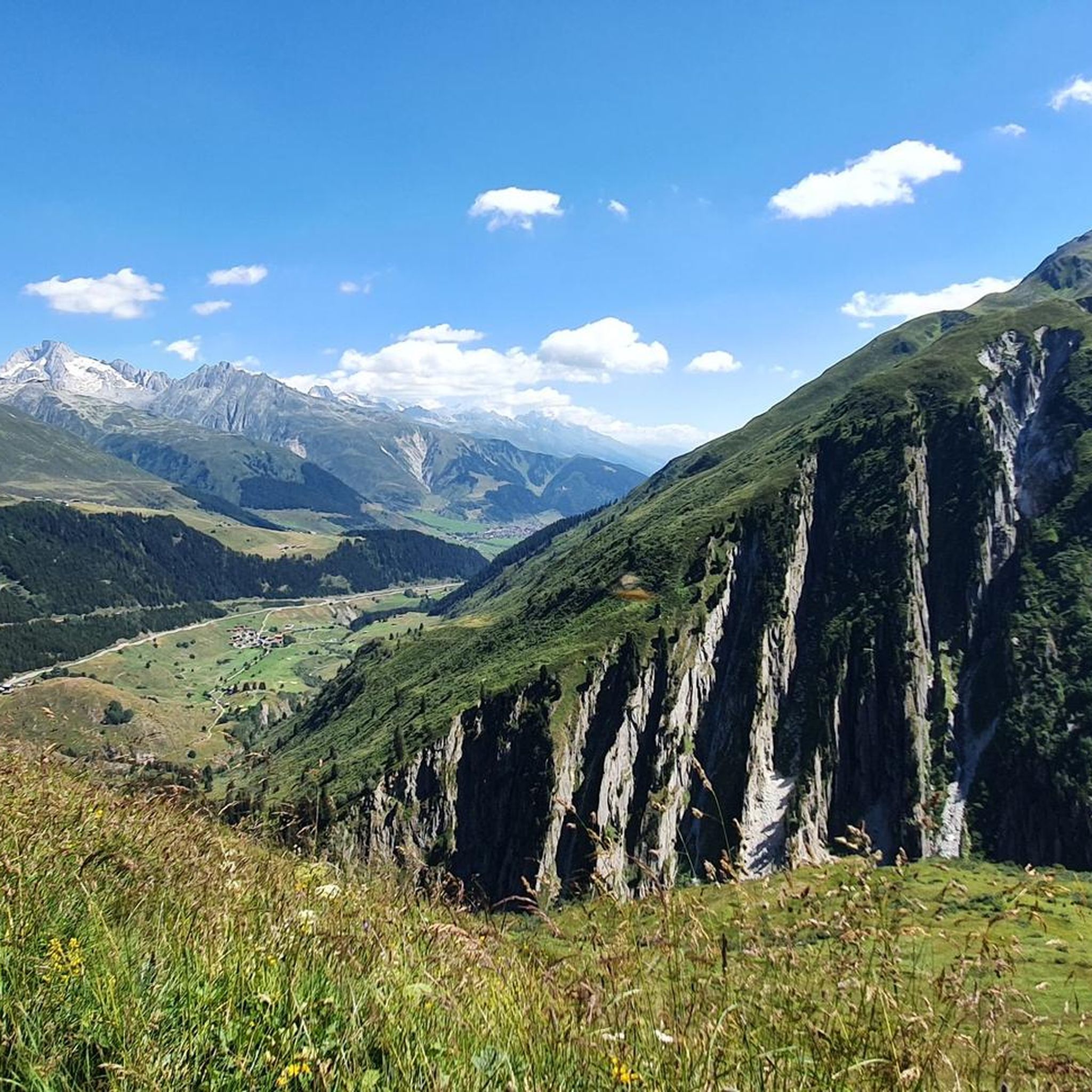
Beautiful view of the serpentines towards Chur.
1
0

When the lake is still, the mountain range is reflected in it. Beautiful.
2
0
Frequently Asked Questions
What is the typical difficulty and duration of mountaineering routes around Lai da Curnera?
Mountaineering routes in the Lai da Curnera area are predominantly challenging. Out of 8 routes, 7 are classified as difficult, and 1 as moderate. Durations vary significantly, with difficult routes like Lolenpass – Lake Toma (Lai da Tuma) loop from Oberalppass taking nearly 8 hours, while the moderate Pazolastock (2,739 m) loop from Oberalppass can be completed in under 4 hours.
Where are the main trailheads for mountaineering routes near Lai da Curnera?
Most of the mountaineering routes around Lai da Curnera, including popular options like the Lake Toma (Lai da Tuma) – Tomasee (Source of the Rhine) loop, typically start from Oberalppass. This pass serves as a central access point for many of the area's alpine adventures.
Are there any easier mountaineering routes suitable for those with less experience around Lai da Curnera?
While the region is known for its challenging terrain, there is at least one moderate mountaineering route available: the Pazolastock (2,739 m) loop from Oberalppass. This route offers a rewarding alpine experience without the extreme demands of the difficult trails, taking approximately 3 hours 45 minutes to complete.
What is the best season for mountaineering in the Lai da Curnera region?
The best season for mountaineering around Lai da Curnera is generally from late spring to early autumn (June to September). During these months, snowmelt has typically cleared higher passes, and weather conditions are more stable, though alpine weather can change rapidly. Always check local forecasts before heading out.
What are the winter conditions like for mountaineering around Lai da Curnera?
Winter conditions in the Lai da Curnera area are severe, with heavy snowfall and high avalanche risk. Mountaineering during winter requires extensive experience, specialized equipment, and a thorough understanding of avalanche safety. Many routes become impassable or extremely dangerous. It is advisable to consult local guides and current conditions reports if considering winter ascents.
Are there circular or loop trails available for mountaineering in Lai da Curnera?
Yes, many of the mountaineering routes around Lai da Curnera are designed as loops, allowing you to experience varied terrain without retracing your steps. Examples include the Lolenpass – Lake Toma (Lai da Tuma) loop and the Rossbodenstock Summit – Lake Toma (Lai da Tuma) loop, both starting from Oberalppass.
What kind of gear should I bring for mountaineering near Lai da Curnera?
Given the challenging alpine terrain, essential gear includes sturdy mountaineering boots, appropriate layers of clothing for varying weather, rain and wind protection, a map and compass or GPS device, sufficient water and food, a first-aid kit, and sun protection. For more technical routes, consider bringing poles, and potentially crampons or an ice axe depending on conditions and specific route details.
What do other mountaineers enjoy most about the routes in Lai da Curnera?
The komoot community highly rates the mountaineering routes around Lai da Curnera, with an average score of 5.0 stars from over 30 reviews. Reviewers often praise the expansive views of the Swiss Alps, the challenging nature of the trails, and the pristine alpine lakes, particularly Lake Toma, the source of the Rhine.
Are there any less crowded mountaineering routes around Lai da Curnera?
While routes to Lake Toma can be popular, exploring less frequented paths or visiting during off-peak times (early morning or weekdays) can offer a more solitary experience. Consider routes like the View of Oberalp Pass – Lake Toma (Lai da Tuma) loop, which still offers stunning vistas but might see fewer visitors than the most prominent trails.
Can I reach the mountaineering trailheads near Lai da Curnera using public transport?
Yes, Oberalppass, a common starting point for many routes, is accessible by public transport. The Matterhorn Gotthard Bahn operates a train line that stops directly at Oberalppass, making it convenient for mountaineers to reach the trailheads without a car.
Are there any family-friendly hiking options that offer a taste of the alpine environment near Lai da Curnera?
While most mountaineering routes are difficult, families looking for a less strenuous alpine experience might consider shorter, well-marked hiking trails in the broader Surselva region. For specific family-friendly options, it's best to consult local tourist information or komoot's general hiking guides for the area, as the listed mountaineering routes are generally demanding.
Are dogs allowed on the mountaineering routes around Lai da Curnera?
Generally, dogs are permitted on hiking and mountaineering trails in Switzerland, including around Lai da Curnera. However, they should be kept on a leash, especially in areas with grazing livestock or wildlife. Be mindful of the challenging terrain and long durations, which might not be suitable for all dogs. Always carry enough water for your dog.
Most popular routes around Lai da Curnera

Get inspired with the komoot mobile app


Explore more
Browse the best Mountain Hikes & Routes in other regions.
