The best cycling routes around Area P (Rivers and the Peaks)
4.4
(12)
215
riders
23
rides
Touring cycling around Area P (Rivers and the Peaks) features a diverse landscape characterized by majestic mountains, significant river valleys, and varied geological formations. The region encompasses iconic peaks and deep canyons carved by waterways, offering a dynamic environment for cyclists. This creates a range of routes, from challenging mountain ascents to scenic paths along riverbanks. The terrain includes both paved roads and designated trails, catering to different cycling preferences.
Best touring cycling routes around Area P (Rivers and the Peaks)
- The most popular touring cycling route is Petting Farm – Cycle Path Detour loop from Kamloops, a 20.7 miles (33.4 km) trail that takes 2 hours 2 minutes to complete. This moderate route offers a scenic journey with varied terrain.
- Another top favourite among local touring cyclists is Cycle Path Detour loop from Westsyde at Overlander, an easy 14.9 miles (24.0 km) path. It provides a pleasant ride along river paths with gentle elevation changes.
- Local touring cyclists also love the Overlanders Beach – Red Bridge loop from McArthur Island, a 13.1 miles (21.1 km) trail leading through riverfront areas, often completed in about 1 hour 16 minutes.
- Touring cycling around Area P (Rivers and the Peaks) is defined by mountain vistas, river valleys, and varied geological features. The network offers options for different ability levels, from easy riverside paths to more challenging routes.
- The routes in Area P (Rivers and the Peaks) are highly rated by the komoot community with an average score of 4.5 stars from over 13 reviews. More than 200 touring cyclists have used komoot to explore Area P (Rivers and the Peaks)'s varied terrain.
Last updated: October 5, 2026
18
riders
26.4km
01:32
90m
90m
Easy bike ride. Great for any fitness level. Mostly paved surfaces. Suitable for all skill levels.
5.0
(1)
11
riders
20.2km
01:14
70m
70m
Easy bike ride. Great for any fitness level. Mostly paved surfaces. Suitable for all skill levels.

17
riders
10.7km
00:46
170m
170m
Moderate bike ride. Good fitness required. Mostly paved surfaces. Suitable for all skill levels.
16
riders
15.8km
01:51
360m
360m
Hard bike ride. Good fitness required. You may need to push your bike for some segments of this route.
3.8
(4)
14
riders
64.1km
03:52
340m
340m
Moderate bike ride. Good fitness required. Mostly paved surfaces. Suitable for all skill levels.
Get access to more routes and recommendations from other explorers.
Already have an account?
Our route recommendations are based on thousands of hikes, rides, and runs completed by other people on komoot.
Start today with a free account
Your next adventure awaits.
Popular around Area P (Rivers and the Peaks)

Vancouver roundtrip — Bikepacking British Columbia

Canada by train – scenic hikes from Western stations

Pacific charm and peak happiness in British Columbia

Forests, desert, wilderness - day tours in British Columbia
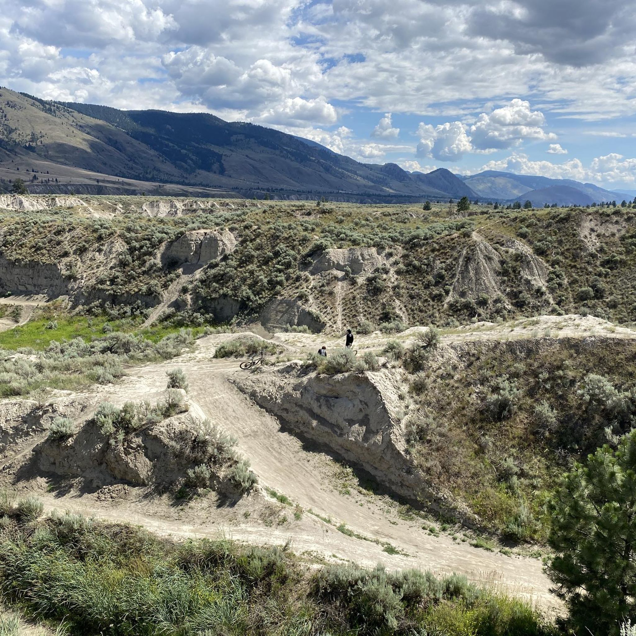
Hiking around Area P (Rivers and the Peaks)
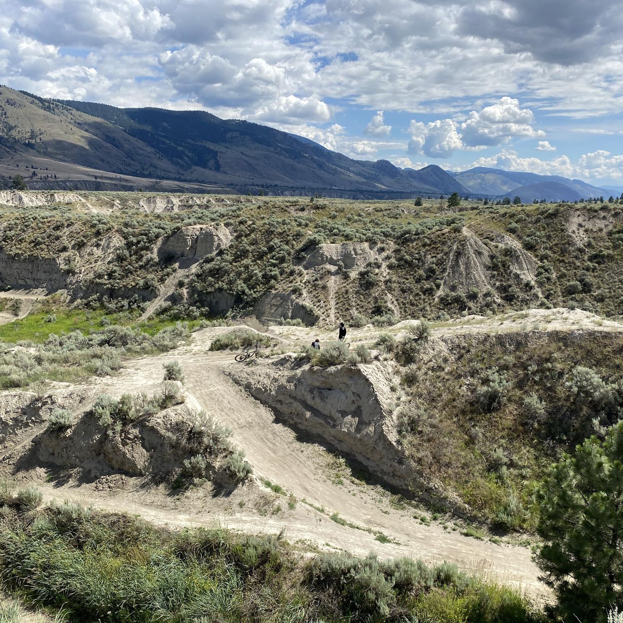
Running Trails around Area P (Rivers and the Peaks)
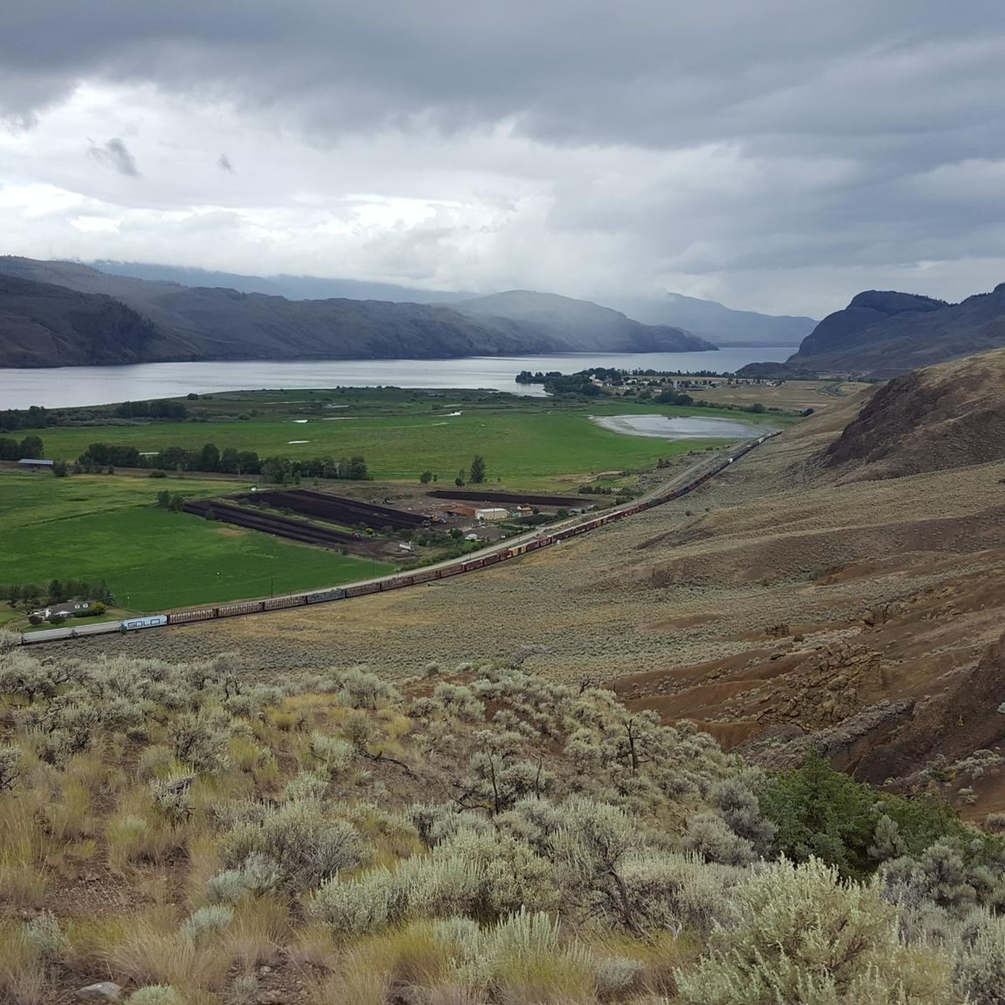
MTB Trails around Area P (Rivers and the Peaks)
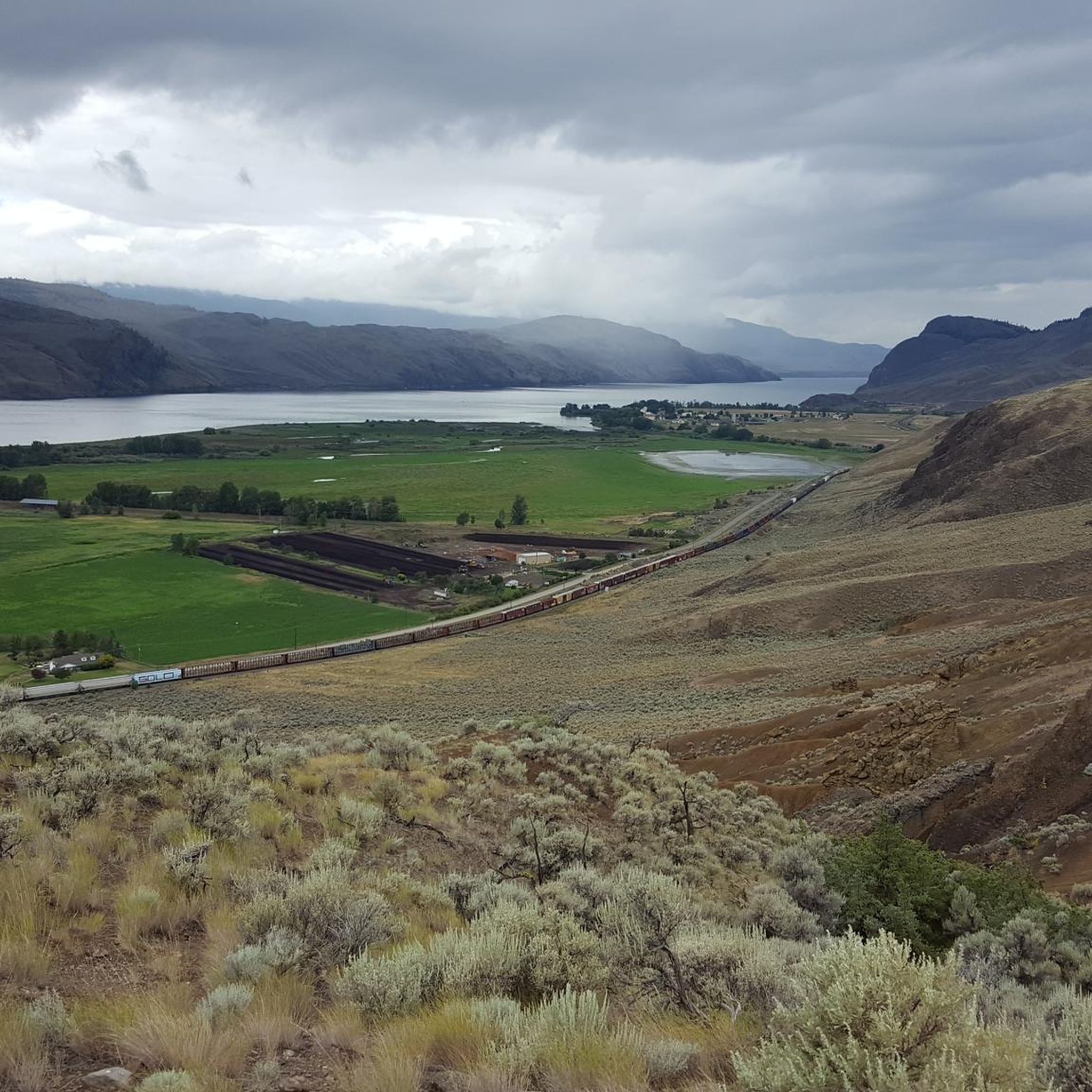
Road Cycling Routes around Area P (Rivers and the Peaks)

Gravel biking around Area P (Rivers and the Peaks)
Other adventures around Area P (Rivers and the Peaks)


Tips from the Community

The park has a neat row of benches overlooking the South Thompson River, open green space, and a collection of large outdoor modern art statues including the 'Forest Plaza' and 'Creation'. The path is paved and partially shaded by trees planted along the waterfront.
0
0
The Rivers Trail at Pioneer Park is a paved path that takes you by the old railway with beach access and plenty of parking. It's fun to see the old rail cars along the side of the path, and you get a nice view of the river by the bridge.
0
0

The McArthur Island Trail is part of the 40 kilometers of trails that make up Kamloops's Rivers Trail. This trail makes a full loop around the perimeter of the island and if you come at quieter times of day you'll have a high chance of spotting some of the varied wildlife that call the area home.
0
0
From this point on the Rivers Trail you'll have a great view over the Thompson River to the hills on the opposite side. The convenient bench makes it the perfect place to have a break and take it all in.
0
0

For more tips & tricks follow us on YouTube & Instagram @lebruitdugravier
0
0

On the north bank of the Thompson River, you drive along a little-traveled road through the canyon created by the river. Noteworthy are the eroded rock formations that form the edge of the canyon. Although a rushing river flows through the valley, the vegetation is set for a lot of dryness.
2
0
Frequently Asked Questions
How many touring cycling routes are available in Area P (Rivers and the Peaks)?
There are over 20 touring cycling routes available in Area P (Rivers and the Peaks). These routes cater to various skill levels, with 10 easy, 6 moderate, and 8 difficult options to choose from.
What kind of terrain can I expect when touring cycling in Area P (Rivers and the Peaks)?
The region offers a diverse landscape for touring cyclists, characterized by majestic mountains like Pikes Peak, significant river valleys such as the Arkansas River, and varied geological formations. You'll find everything from paved roads and designated bike lanes, especially around iconic red rock formations like Garden of the Gods, to challenging gravel and singletrack routes in areas like the Royal Gorge. Expect a mix of ascents, descents, and scenic paths along riverbanks.
Are there any family-friendly touring cycling routes in Area P (Rivers and the Peaks)?
Yes, Area P (Rivers and the Peaks) offers several family-friendly options. For instance, the Cycle Path Detour loop from Westsyde at Overlander is an easy 14.9-mile (24.0 km) path that provides a pleasant ride along river paths with gentle elevation changes. Another easy option is the Overlanders Beach – Red Bridge loop from McArthur Island, which is 13.1 miles (21.1 km) and leads through riverfront areas.
What are some notable natural features or landmarks I can see along the touring cycling routes?
The region is rich in natural beauty and landmarks. You can cycle through the stunning red rock formations of Garden of the Gods Park, or experience the dramatic canyon views at the Royal Gorge. Some routes offer views of Pikes Peak, and you might encounter unique geological features like basalt columns. For specific viewpoints, consider visiting Battle Bluff Cairn and View of Kamloops Lake or View of Kamloops Lake from Lac du Bois Grasslands.
Are there any circular touring cycling routes in Area P (Rivers and the Peaks)?
Yes, many routes in Area P (Rivers and the Peaks) are designed as loops, offering convenient circular journeys. Examples include the popular Petting Farm – Cycle Path Detour loop from Kamloops, a moderate 20.7-mile (33.4 km) trail, and the Red Bridge loop from Kamloops, an easy 17.2-mile (27.7 km) option.
What is the best time of year for touring cycling in Area P (Rivers and the Peaks)?
The Pikes Peak Region generally offers excellent cycling conditions from late spring through early autumn. During these months, the weather is typically mild, and the mountain passes are clear of snow. Summer provides the warmest temperatures, while spring and fall offer vibrant foliage and fewer crowds. Always check local weather conditions before heading out, especially for higher elevation routes.
What do other touring cyclists enjoy most about cycling in Area P (Rivers and the Peaks)?
The touring cycling routes in Area P (Rivers and the Peaks) are highly rated by the komoot community, with an average score of 4.5 stars from over 13 reviews. Cyclists frequently praise the diverse landscapes, from challenging mountain ascents to scenic river paths, and the variety of routes suitable for different abilities. The stunning natural features and well-maintained trails are often highlighted as key attractions.
Are there any challenging routes for experienced touring cyclists?
Absolutely. For experienced and fit cyclists, the Pikes Peak Highway presents an ultimate challenge. This 19-mile paved toll road ascends over 4,800 vertical feet to the summit at 14,115 feet, featuring more than 150 turns and incredible views. In the Royal Gorge area, the Royal Loop Gravel Ride is a challenging 30-mile route with over 4,272 feet of elevation gain, offering sweeping views of the Arkansas River and rugged Colorado backcountry.
Can I rent e-bikes for touring cycling in Area P (Rivers and the Peaks)?
Yes, e-bike rentals are available in the region, particularly around popular cycling destinations like Garden of the Gods Park. E-bikes can be a great option to help navigate the altitude and hilly terrain, making more challenging routes accessible to a wider range of cyclists.
What are some other attractions or places to explore near the cycling routes?
Beyond cycling, the region offers numerous attractions. You can visit Sun Peaks Village, explore the historic mining town of Cripple Creek, or relax at hot springs like Mount Princeton Hot Springs Resort. For family fun, Santa's Workshop at the North Pole is a charming Christmas-themed amusement park. Nature lovers might enjoy the Lac du Bois Grasslands Protected Area or the Tod Lake.
Are there any routes that feature lakes or rivers?
Many routes in Area P (Rivers and the Peaks) incorporate the region's abundant waterways. The Arkansas River carves through dramatic landscapes like the Royal Gorge, and several cycling paths follow riverbanks. You can also find routes that pass by beautiful lakes, such as the Little McGillivray Lake loop from Sun Peaks Mountain Resort Municipality, which is a moderate 10.9-mile (17.5 km) ride.
Most popular routes around Area P (Rivers and the Peaks)
Most popular attractions around Area P (Rivers and the Peaks)

Get inspired with the komoot mobile app


Explore more
Browse the best Cycling routes in other regions.
